Embed Size (px)
DESCRIPTION
Unit 1 TEST. Study Guide INFO. Electromagnetic Spectrum. Latitude and longitude. North Pole: 90 degrees N Degrees are divided into 60 minutes Longitude lines converge at the poles. Contour interval. Contour Intervals are the difference between elevation of two side-by-side contour lines. - PowerPoint PPT Presentation
Citation preview
UNIT 1
TEST
S T UD
Y GU
I DE I
NF O
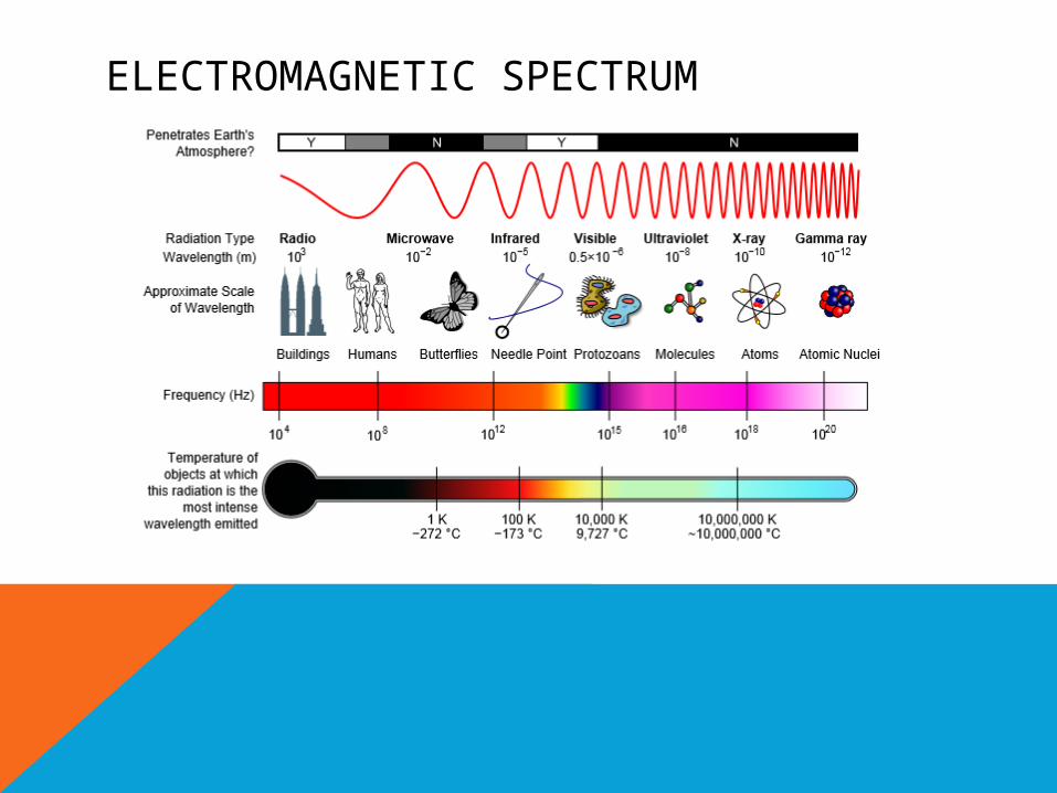
ELECTROMAGNETIC SPECTRUM
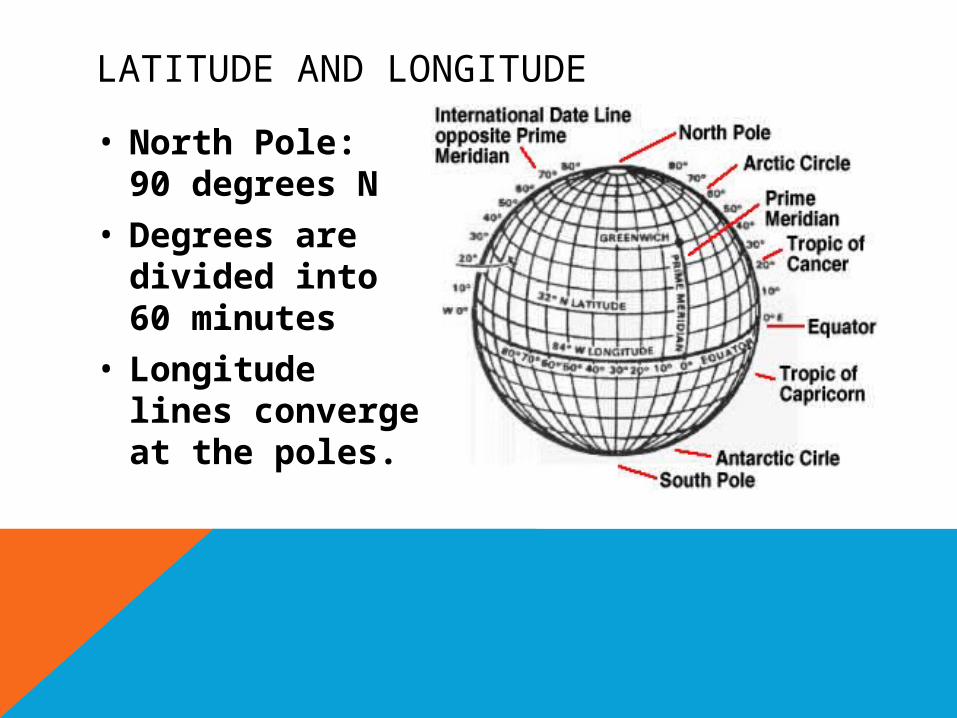
LATITUDE AND LONGITUDE
• North Pole: 90 degrees N
• Degrees are divided into 60 minutes
• Longitude lines converge at the poles.
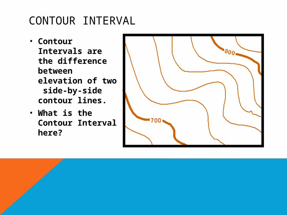
CONTOUR INTERVAL
• Contour Intervals are the difference between elevation of two side-by-side contour lines.
• What is the Contour Interval here?
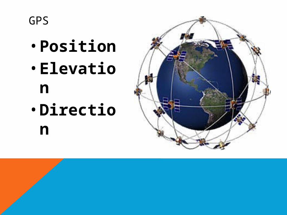
GPS
• Position• Elevation• Direction
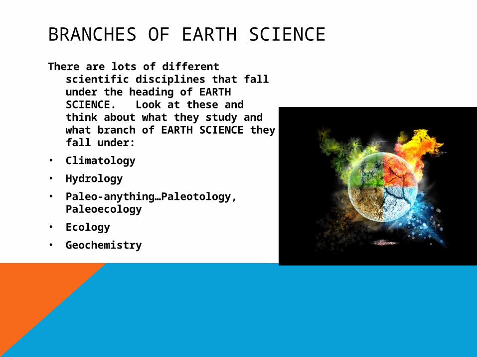
BRANCHES OF EARTH SCIENCE
There are lots of different scientific disciplines that fall under the heading of EARTH SCIENCE. Look at these and think about what they study and what branch of EARTH SCIENCE they fall under:
• Climatology
• Hydrology
• Paleo-anything…Paleotology, Paleoecology
• Ecology
• Geochemistry
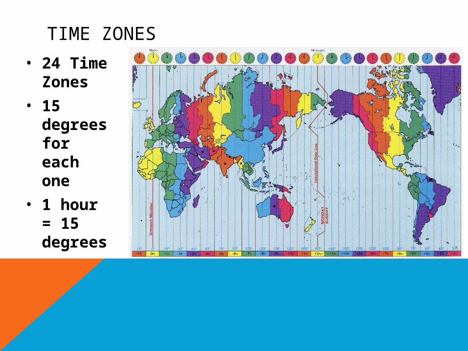
TIME ZONES
• 24 Time Zones
• 15 degrees for each one
• 1 hour = 15 degrees
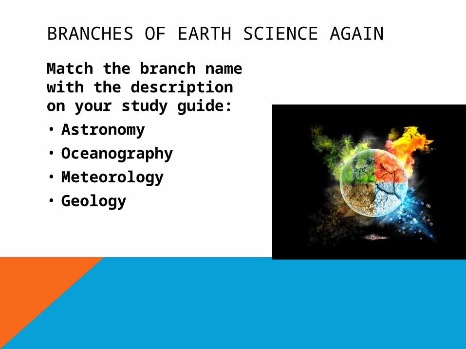
BRANCHES OF EARTH SCIENCE AGAIN
Match the branch name with the description on your study guide:
• Astronomy
• Oceanography
• Meteorology
• Geology
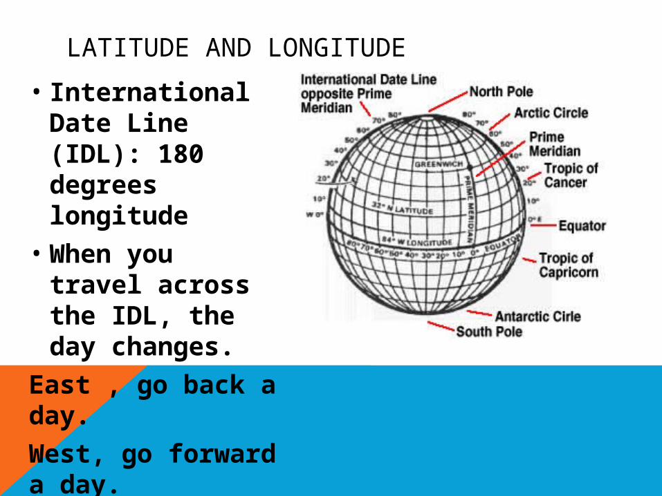
LATITUDE AND LONGITUDE
• International Date Line (IDL): 180 degrees longitude
• When you travel across the IDL, the day changes.
East , go back a day.
West, go forward a day.
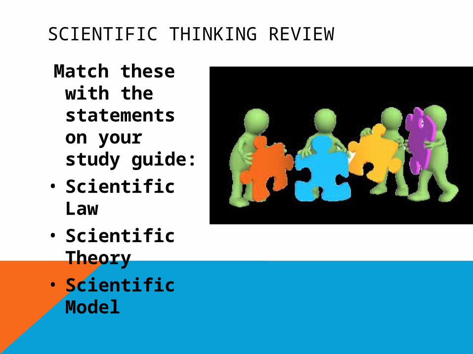
SCIENTIFIC THINKING REVIEW
Match these with the statements on your study guide:
• Scientific Law
• Scientific Theory
• Scientific Model
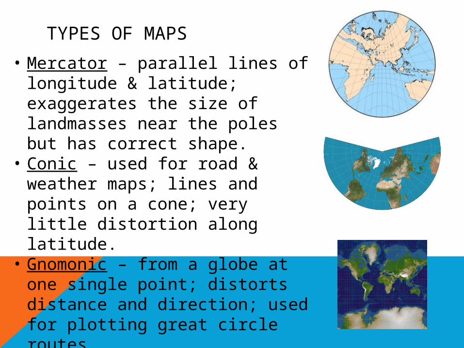
TYPES OF MAPS
• Mercator – parallel lines of longitude & latitude; exaggerates the size of landmasses near the poles but has correct shape.
• Conic – used for road & weather maps; lines and points on a cone; very little distortion along latitude.
• Gnomonic – from a globe at one single point; distorts distance and direction; used for plotting great circle routes.
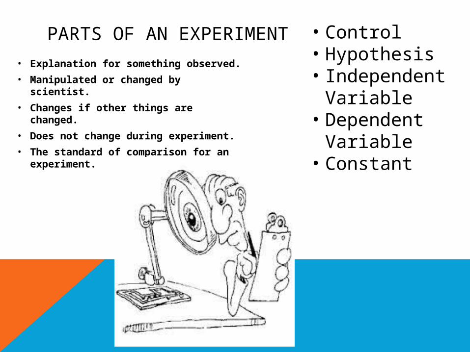
PARTS OF AN EXPERIMENT• Explanation for something observed.
• Manipulated or changed by scientist.
• Changes if other things are changed.
• Does not change during experiment.
• The standard of comparison for an experiment.
• Control• Hypothesis• Independent
Variable• Dependent
Variable• Constant
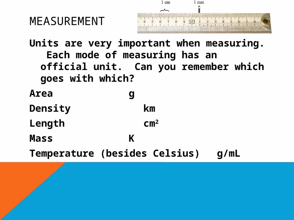
MEASUREMENT
Units are very important when measuring. Each mode of measuring has an official unit. Can you remember which goes with which?
Area g
Density km
Length cm2
Mass K
Temperature (besides Celsius)g/mL
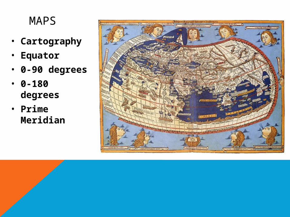
MAPS
• Cartography
• Equator
• 0-90 degrees
• 0-180 degrees
• Prime Meridian
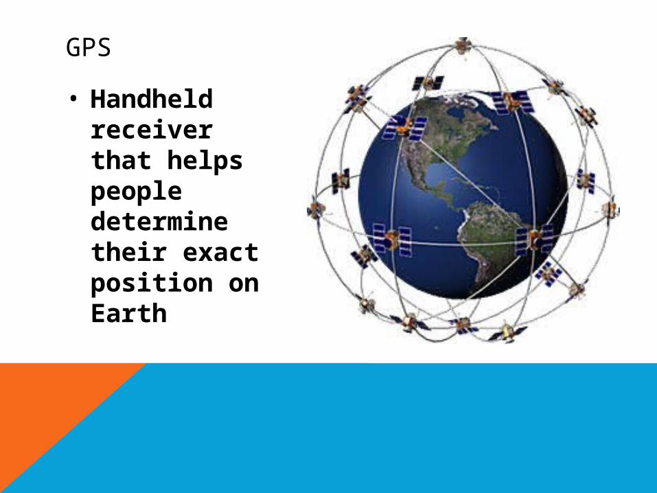
GPS
• Handheld receiver that helps people determine their exact position on Earth
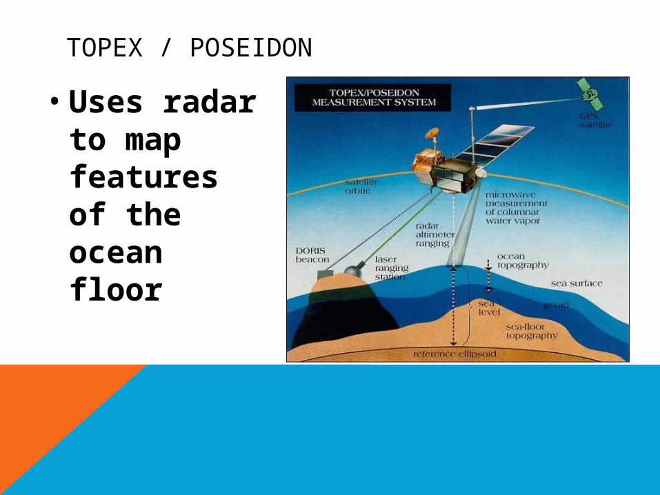
TOPEX / POSEIDON
• Uses radar to map features of the ocean floor
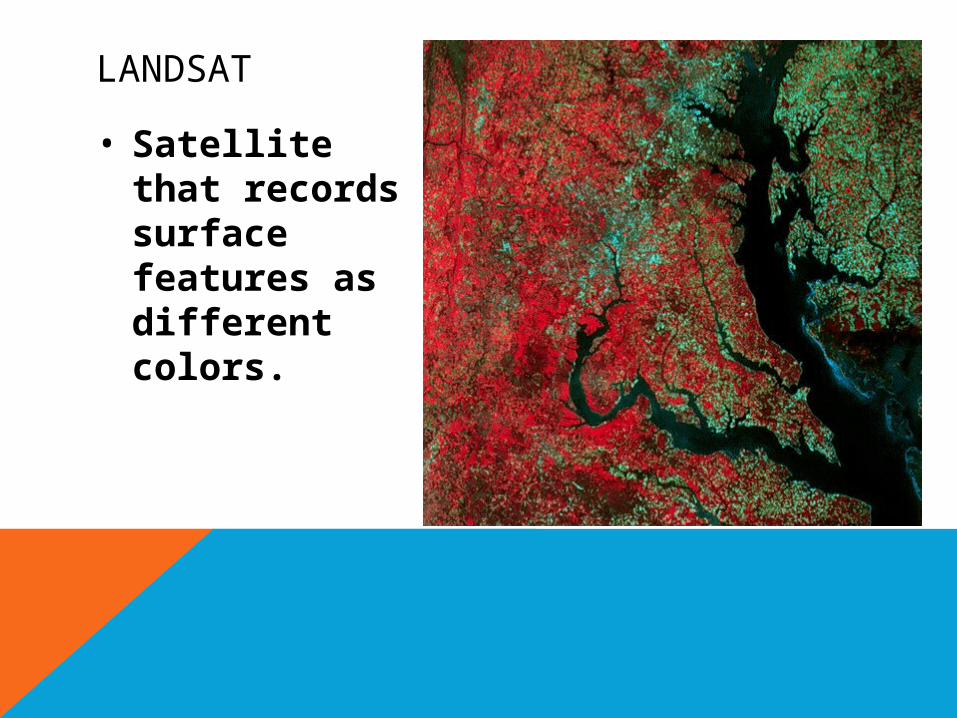
LANDSAT
• Satellite that records surface features as different colors.