Embed Size (px)
Citation preview
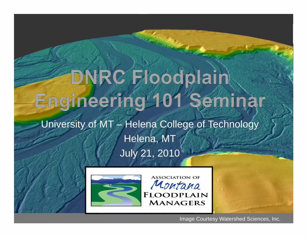
University of MT – Helena College of TechnologyHelena, MT
July 21, 2010
Image Courtesy Watershed Sciences, Inc.
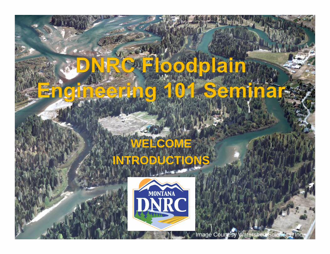
WELCOMEWELCOMEINTRODUCTIONS
Image Courtesy Watershed Sciences, Inc.
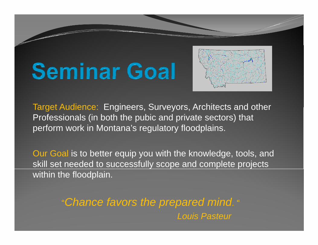
Target Audience: Engineers Surveyors Architects and otherTarget Audience: Engineers, Surveyors, Architects and other Professionals (in both the pubic and private sectors) that perform work in Montana’s regulatory floodplains.
Our Goal is to better equip you with the knowledge, tools, and skill set needed to successfully scope and complete projects within the floodplain.
“Ch f th d i d ““Chance favors the prepared mind. “Louis Pasteur
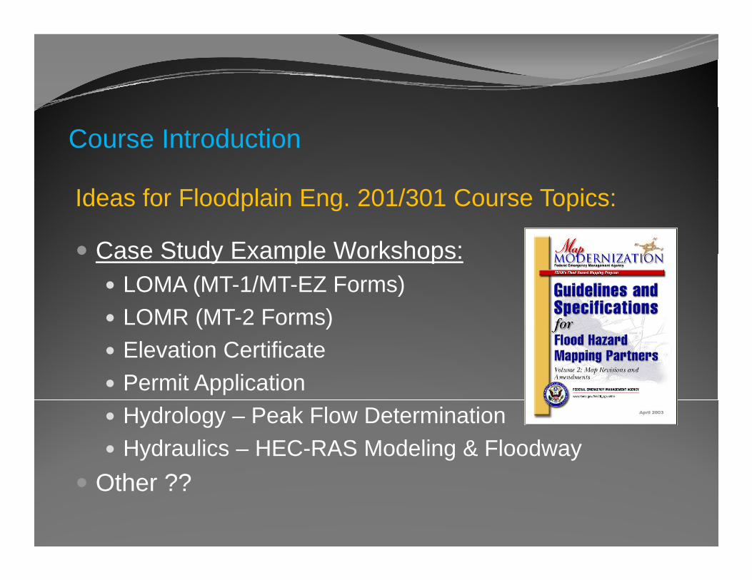
Course Introduction
Ideas for Floodplain Eng. 201/301 Course Topics:
Case Study Example Workshops:Case Study Example Workshops:LOMA (MT-1/MT-EZ Forms)LOMR (MT-2 Forms)( )Elevation CertificatePermit Application Hydrology – Peak Flow DeterminationHydraulics – HEC-RAS Modeling & Floodway
O ??Other ??
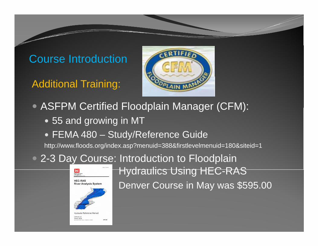
Course Introduction
Additional Training:
ASFPM Certified Floodplain Manager (CFM):ASFPM Certified Floodplain Manager (CFM):55 and growing in MTFEMA 480 – Study/Reference Guidey
http://www.floods.org/index.asp?menuid=388&firstlevelmenuid=180&siteid=1
2-3 Day Course: Introduction to Floodplain Hydraulics Using HEC RASHydraulics Using HEC-RASDenver Course in May was $595.00
Traci Sears, CFM – State NFIP CoordinatorCelinda Adair CFM CPP MapMod/RiskMap CoordinatorCelinda Adair, CFM, CPP – MapMod/RiskMap Coordinator
Steve Story, PE, CFM – State Floodplain Engineer
Floodplain Program Overview
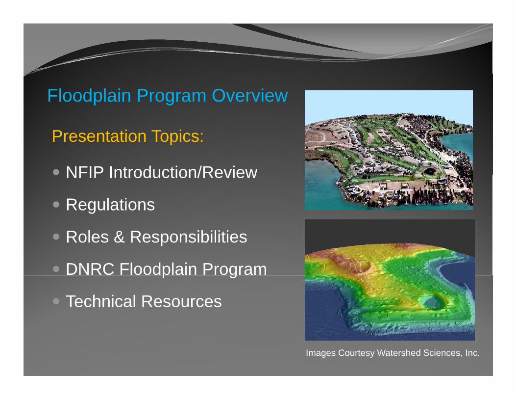
Presentation Topics:
NFIP Introduction/ReviewNFIP Introduction/Review
Regulations
Roles & Responsibilities
DNRC Floodplain Programp g
Technical Resources
Images Courtesy Watershed Sciences, Inc.
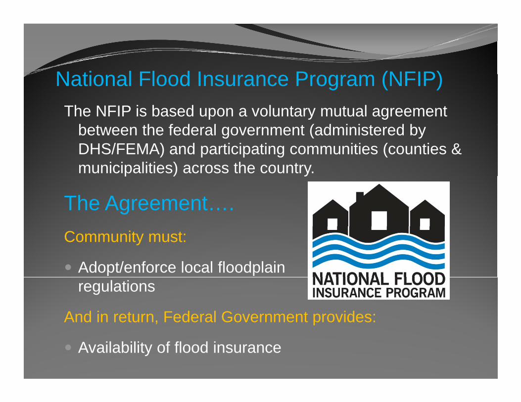
N ti l Fl d I P (NFIP)National Flood Insurance Program (NFIP) The NFIP is based upon a voluntary mutual agreement
b t th f d l t ( d i i t d bbetween the federal government (administered by DHS/FEMA) and participating communities (counties & municipalities) across the country. p ) y
The Agreement….Community must:
Adopt/enforce local floodplainregulations
And in return, Federal Government provides:
Availability of flood insurance
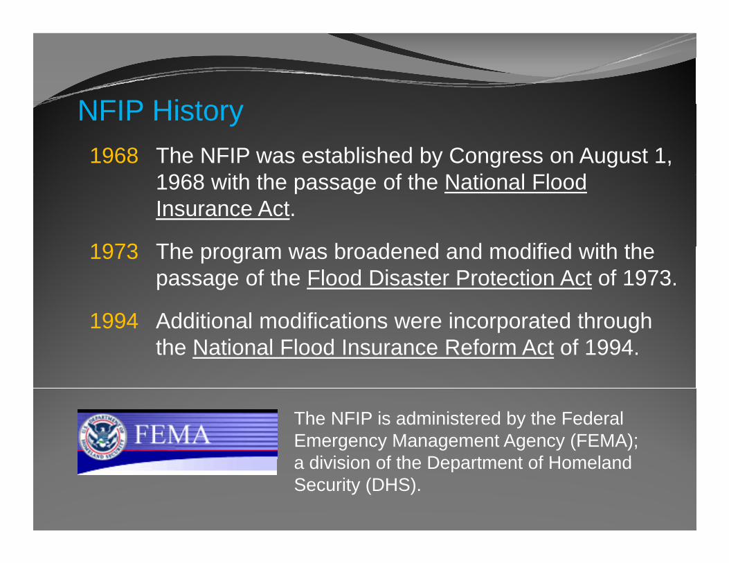
NFIP Hi tNFIP History1968 The NFIP was established by Congress on August 1,
1968 ith th f th N ti l Fl d1968 with the passage of the National FloodInsurance Act.
1973 Th b d d d difi d ith th1973 The program was broadened and modified with the passage of the Flood Disaster Protection Act of 1973.
1994 Additional modifications were incorporated through1994 Additional modifications were incorporated through the National Flood Insurance Reform Act of 1994.
The NFIP is administered by the Federal Emergency Management Agency (FEMA); a di ision of the Department of Homelanda division of the Department of Homeland Security (DHS).
NFIP P ti i tiNFIP Participation
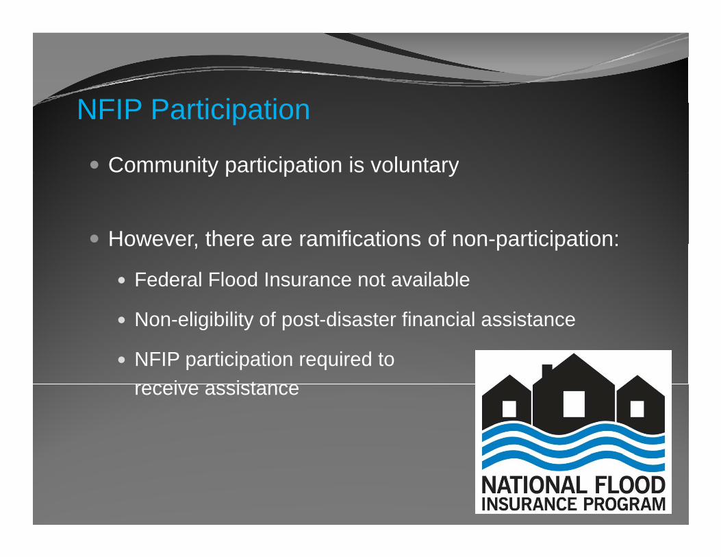
Community participation is voluntaryy p p y
However there are ramifications of non-participation:However, there are ramifications of non participation:
Federal Flood Insurance not available
N li ibilit f t di t fi i l i tNon-eligibility of post-disaster financial assistance
NFIP participation required to i i treceive assistance
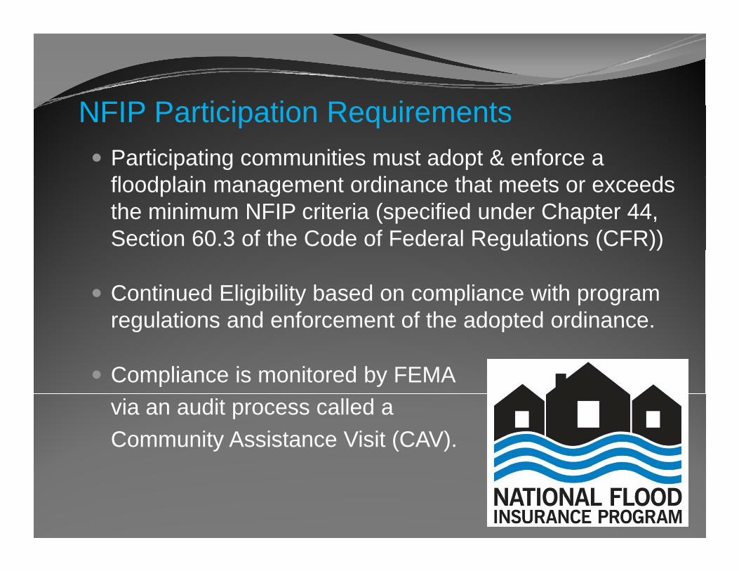
NFIP P ti i ti R i tNFIP Participation Requirements Participating communities must adopt & enforce a fl d l i t di th t t dfloodplain management ordinance that meets or exceeds the minimum NFIP criteria (specified under Chapter 44, Section 60.3 of the Code of Federal Regulations (CFR))g ( ))
Continued Eligibility based on compliance with program regulations and enforcement of the adopted ordinanceregulations and enforcement of the adopted ordinance.
Compliance is monitored by FEMAvia an audit process called a Community Assistance Visit (CAV).
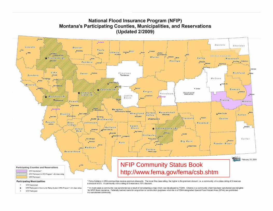
NFIP Community Status Bookhttp://www fema gov/fema/csb shtmhttp://www.fema.gov/fema/csb.shtm
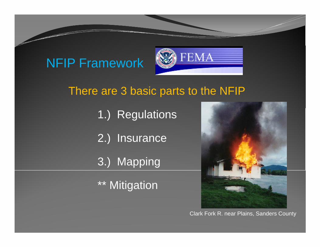
NFIP Framework
There are 3 basic parts to the NFIP
1.) Regulations
2 ) Insurance2.) Insurance
3.) Mapping
** Mitigation
Clark Fork R. near Plains, Sanders County
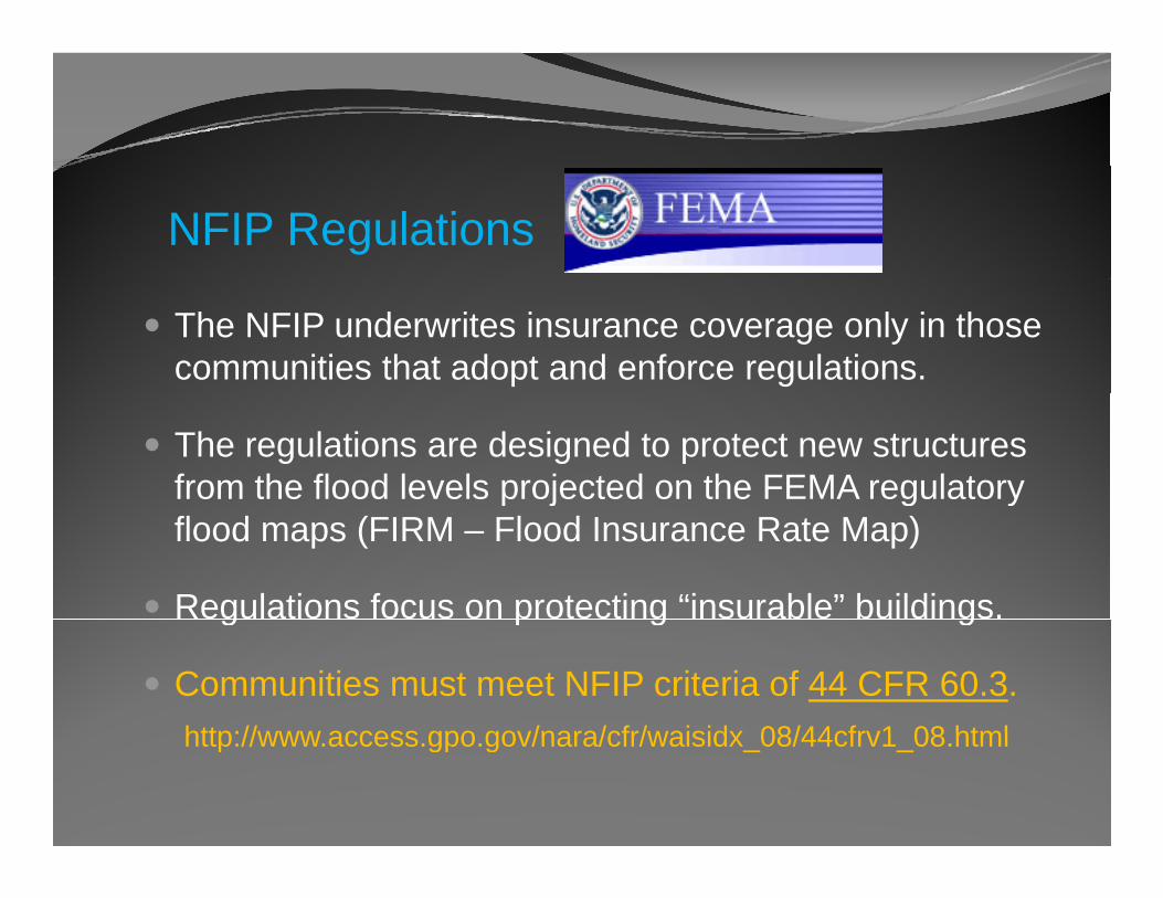
NFIP Regulations
The NFIP underwrites insurance coverage only in those communities that adopt and enforce regulations.
The regulations are designed to protect new structures from the flood levels projected on the FEMA regulatory p j g yflood maps (FIRM – Flood Insurance Rate Map)
Regulations focus on protecting “insurable” buildings.g p g g
Communities must meet NFIP criteria of 44 CFR 60.3. http://www access gpo gov/nara/cfr/waisidx 08/44cfrv1 08 htmlhttp://www.access.gpo.gov/nara/cfr/waisidx_08/44cfrv1_08.html
NFIP Regulations
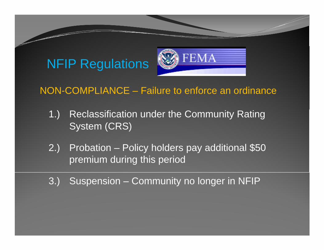
NON-COMPLIANCE – Failure to enforce an ordinance
1.) Reclassification under the Community Rating System (CRS)
2.) Probation – Policy holders pay additional $50 premium during this period
3.) Suspension – Community no longer in NFIP

NFIP Regulations
SANCTIONS FOR NON-PARTICIPATION/SUSPENSION
Fl d I ill t b il blFlood Insurance will not be available
Existing insurance policies not renewed
No Federal grants or loans available for development within the SFHA
No Federal disaster assistance available
No Federal mortgage insurance or loan guarantees may g g g ybe provided in SFHA
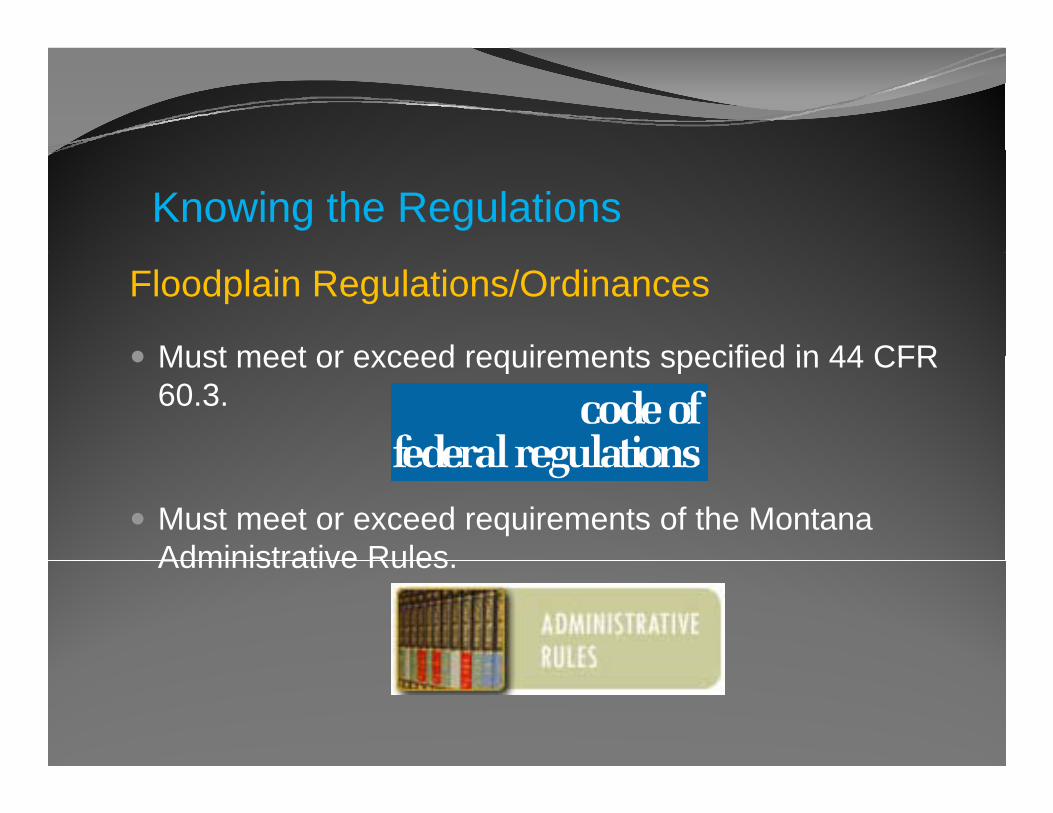
Knowing the Regulations
Floodplain Regulations/Ordinances
Must meet or exceed requirements specified in 44 CFRMust meet or exceed requirements specified in 44 CFR 60.3.
Must meet or exceed requirements of the Montana Administrative RulesAdministrative Rules.
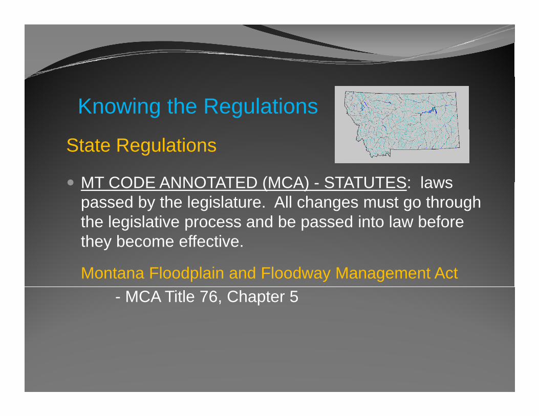
Knowing the Regulations
State Regulations
MT CODE ANNOTATED (MCA) STATUTES: lawsMT CODE ANNOTATED (MCA) - STATUTES: laws passed by the legislature. All changes must go through the legislative process and be passed into law before they become effective.
Montana Floodplain and Floodway Management Act- MCA Title 76, Chapter 5
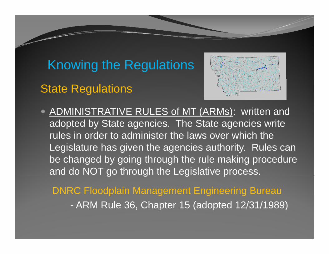
Knowing the Regulations
State Regulations
ADMINISTRATIVE RULES of MT (ARMs): written andADMINISTRATIVE RULES of MT (ARMs): written and adopted by State agencies. The State agencies write rules in order to administer the laws over which the Legislature has given the agencies authority. Rules can be changed by going through the rule making procedure and do NOT go through the Legislative process.g g g p
DNRC Floodplain Management Engineering Bureau- ARM Rule 36 Chapter 15 (adopted 12/31/1989)ARM Rule 36, Chapter 15 (adopted 12/31/1989)
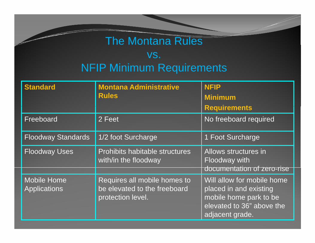
The Montana Rules vs.
NFIP Minimum RequirementsStandard Montana Administrative
RulesNFIPMinimum R i tRequirements
Freeboard 2 Feet No freeboard required
Floodway Standards 1/2 foot Surcharge 1 Foot SurchargeFloodway Standards 1/2 foot Surcharge 1 Foot Surcharge
Floodway Uses Prohibits habitable structures with/in the floodway
Allows structures in Floodway with documentation of zero risedocumentation of zero-rise
Mobile Home Applications
Requires all mobile homes to be elevated to the freeboard protection level
Will allow for mobile home placed in and existing mobile home park to beprotection level. mobile home park to be elevated to 36” above the adjacent grade.
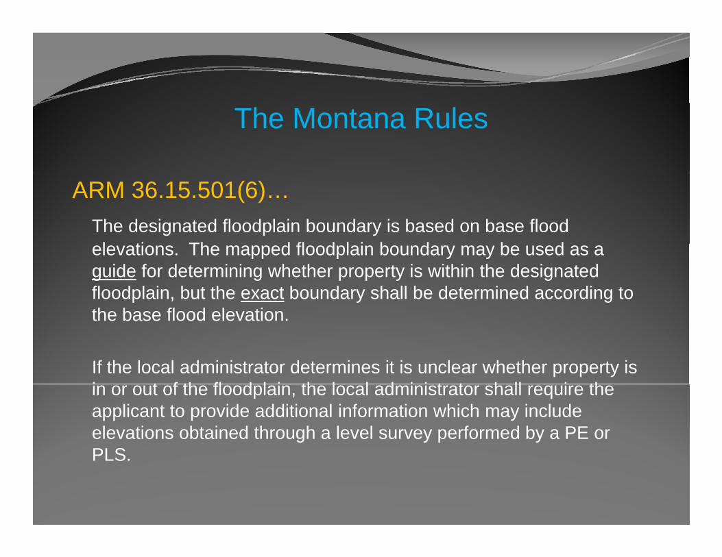
The Montana Rules
ARM 36.15.501(6)…The designated floodplain boundary is based on base flood l ti Th d fl d l i b d b delevations. The mapped floodplain boundary may be used as a
guide for determining whether property is within the designated floodplain, but the exact boundary shall be determined according to the base flood elevationthe base flood elevation.
If the local administrator determines it is unclear whether property is i t f th fl d l i th l l d i i t t h ll i thin or out of the floodplain, the local administrator shall require the applicant to provide additional information which may include elevations obtained through a level survey performed by a PE or PLSPLS.
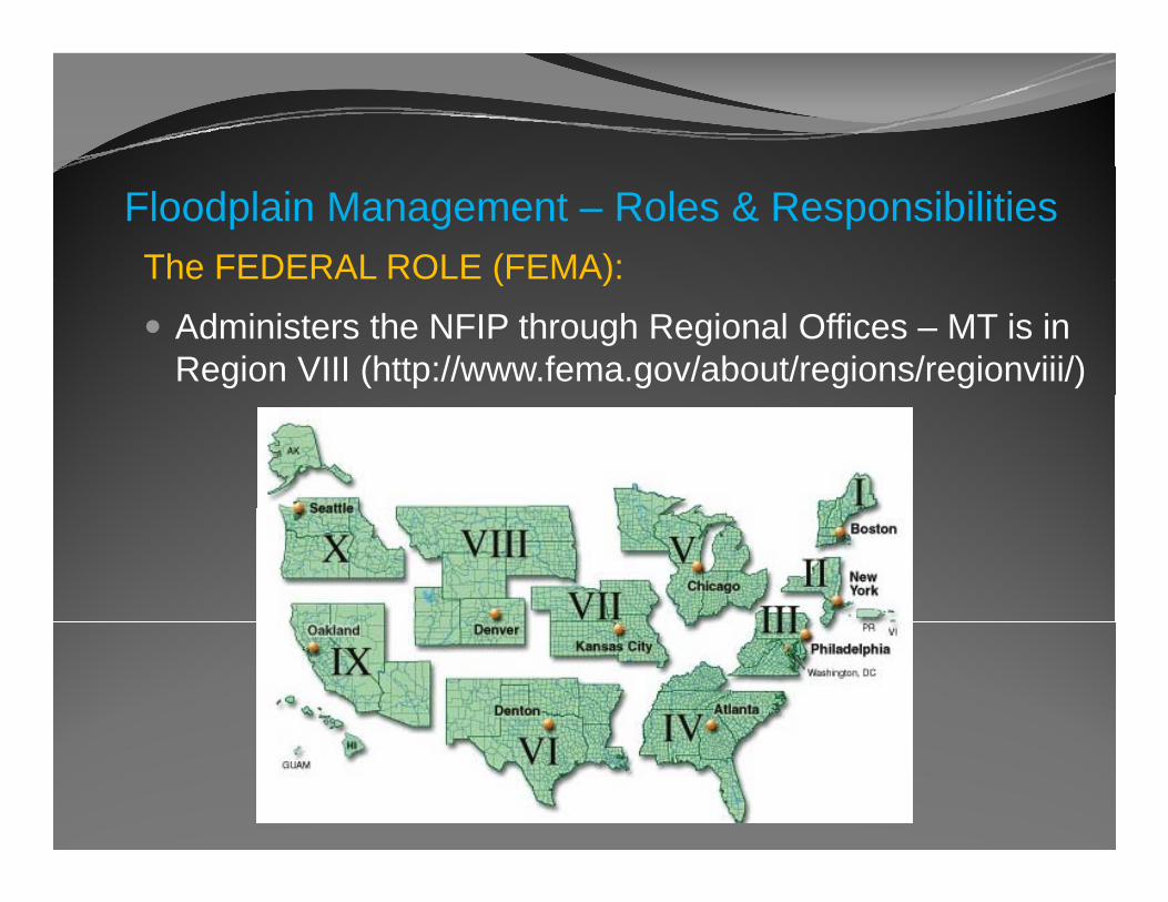
Floodplain Management – Roles & ResponsibilitiesThe FEDERAL ROLE (FEMA):( )
Administers the NFIP through Regional Offices – MT is in Region VIII (http://www.fema.gov/about/regions/regionviii/)
Floodplain Management – Roles & ResponsibilitiesThe FEDERAL ROLE (FEMA):( )
Monitors community compliance with NFIP requirementsMonitors community compliance with NFIP requirements.
Provides guidance & assistance to State and community administratorsadministrators.
Provides information, training, and outreach.
Helps review and adopt new maps and data.
Floodplain Management – Roles & ResponsibilitiesThe STATE ROLE (DNRC):( )
Enable communities with the legal authorities needed to gadopt and enforce floodplain management regulations.
Establish minimum State regulatory standards consistentEstablish minimum State regulatory standards consistent with the NFIP.
Provide program and technical assistance to participatingProvide program and technical assistance to participating local governments.
Coordinate activities of various State agencies that affectCoordinate activities of various State agencies that affect the NFIP.
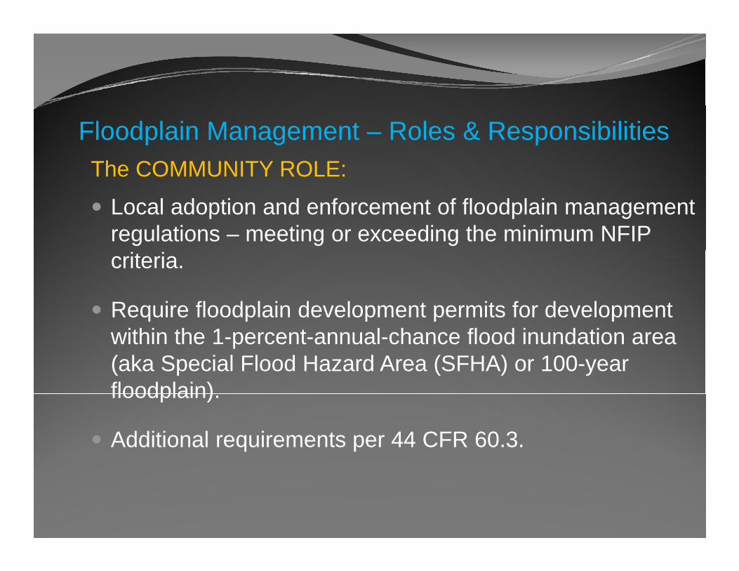
Floodplain Management – Roles & ResponsibilitiesThe COMMUNITY ROLE:
Local adoption and enforcement of floodplain management regulations – meeting or exceeding the minimum NFIP criteria.
Require floodplain development permits for development q p p p pwithin the 1-percent-annual-chance flood inundation area (aka Special Flood Hazard Area (SFHA) or 100-year floodplain)floodplain).
Additional requirements per 44 CFR 60.3.
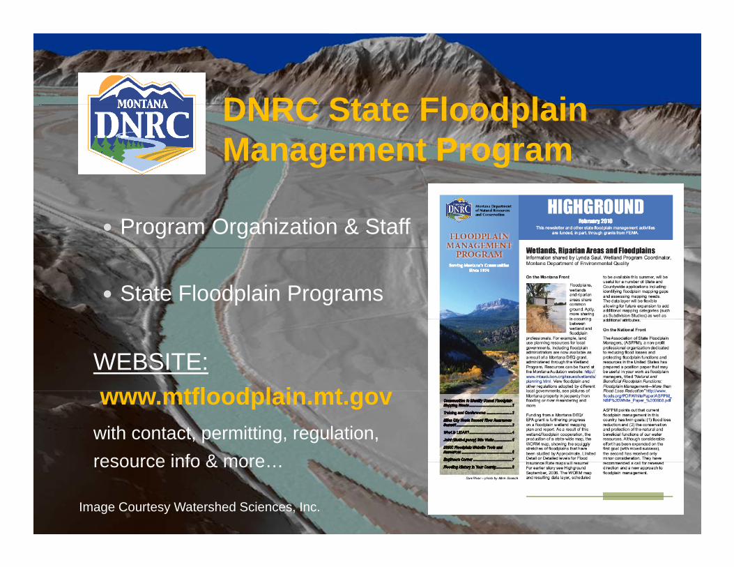
DNRC State FloodplainDNRC State Floodplain Management Program
Program Organization & Staff
State Floodplain Programs
WEBSITE:tfl d l i twww.mtfloodplain.mt.gov
with contact, permitting, regulation,resource info & moreresource info & more…
Image Courtesy Watershed Sciences, Inc.
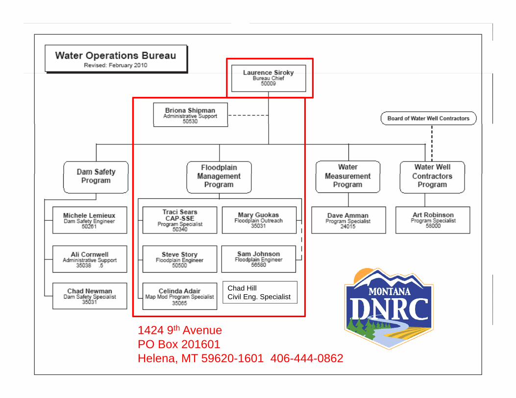
Chad HillCivil Eng. Specialist
1424 9th AvenuePO Box 201601Helena, MT 59620-1601 406-444-0862
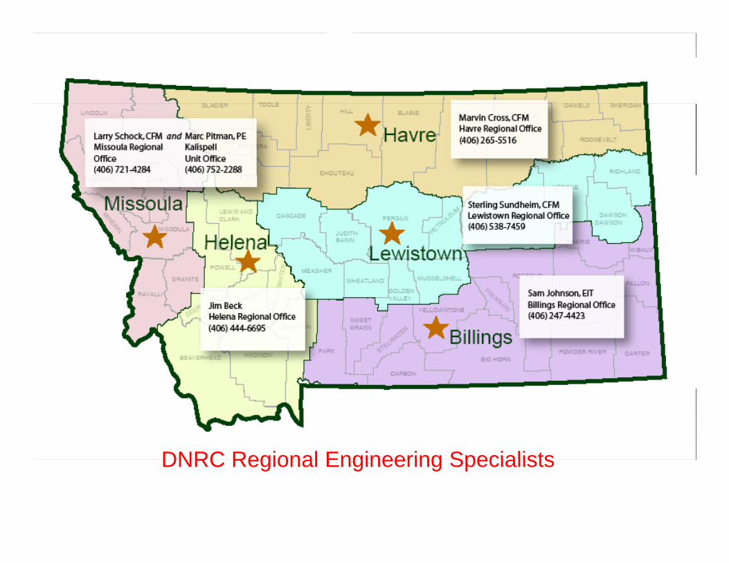
DNRC Regional Engineering SpecialistsDNRC Regional Engineering Specialists
DNRC State FloodplainDNRC State Floodplain Management Program
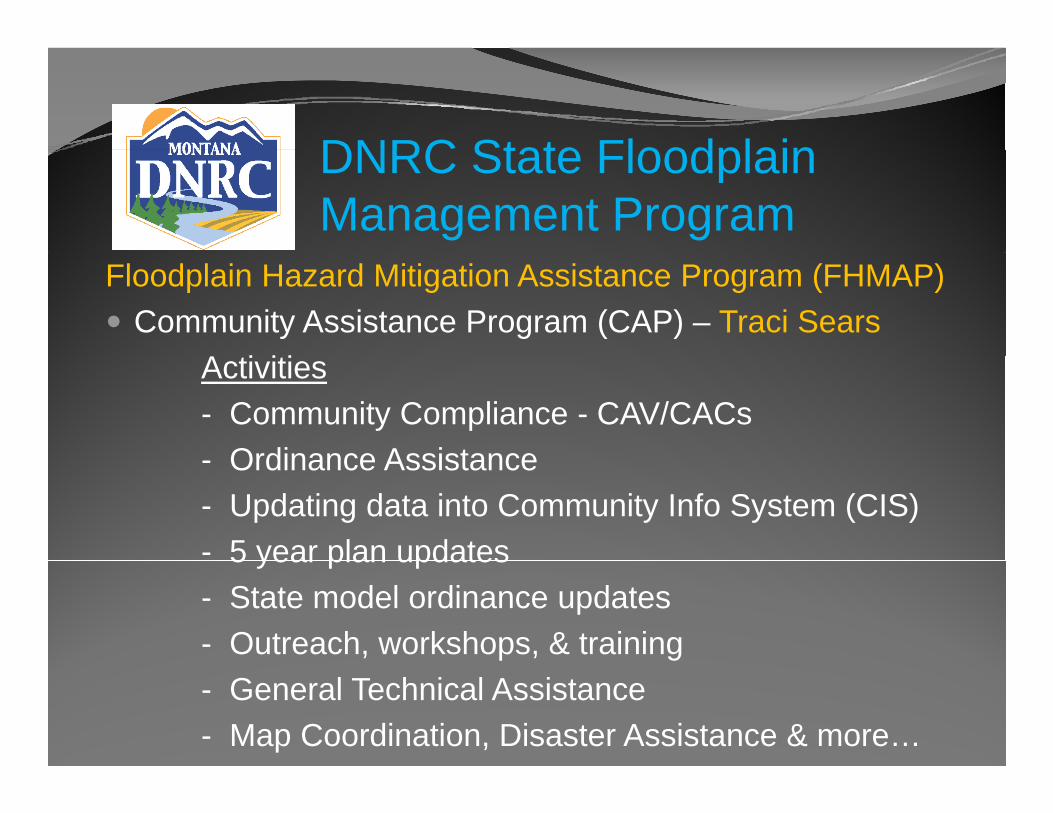
Floodplain Hazard Mitigation Assistance Program (FHMAP) Community Assistance Program (CAP) – Traci Sears
A i i iActivities- Community Compliance - CAV/CACs
Ordinance Assistance- Ordinance Assistance- Updating data into Community Info System (CIS)- 5 year plan updates5 year plan updates- State model ordinance updates- Outreach, workshops, & training- General Technical Assistance- Map Coordination, Disaster Assistance & more…
DNRC State FloodplainDNRC State Floodplain Management Program
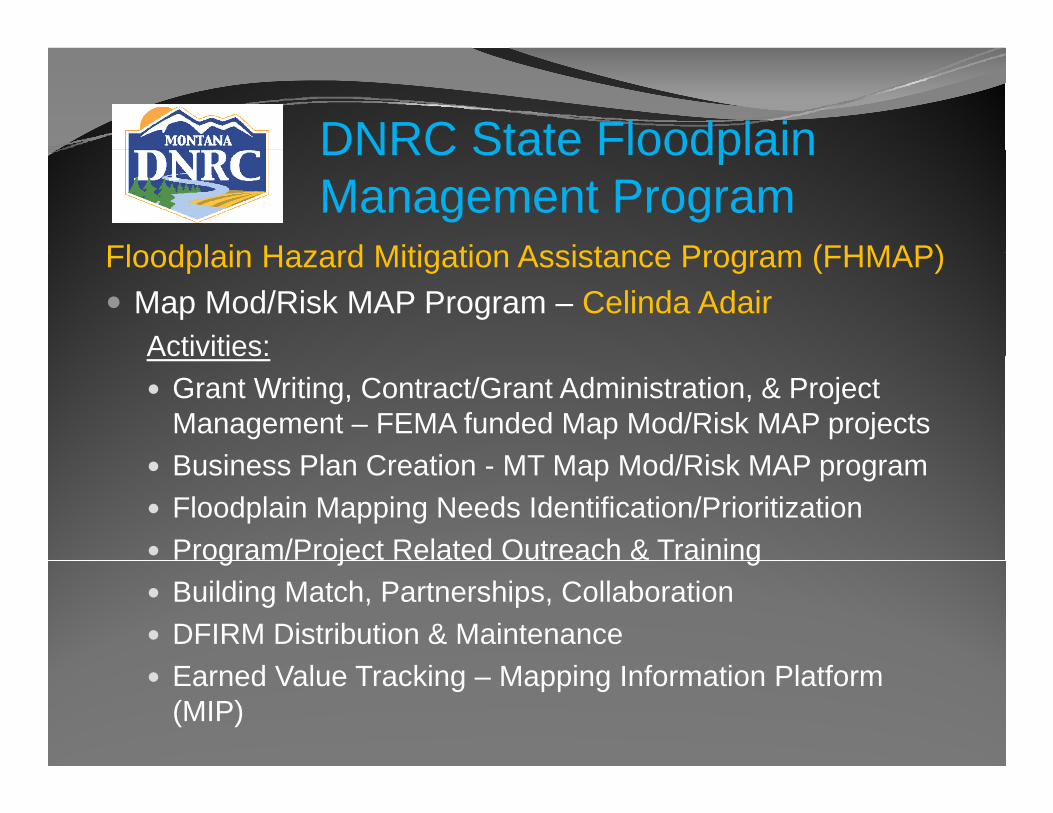
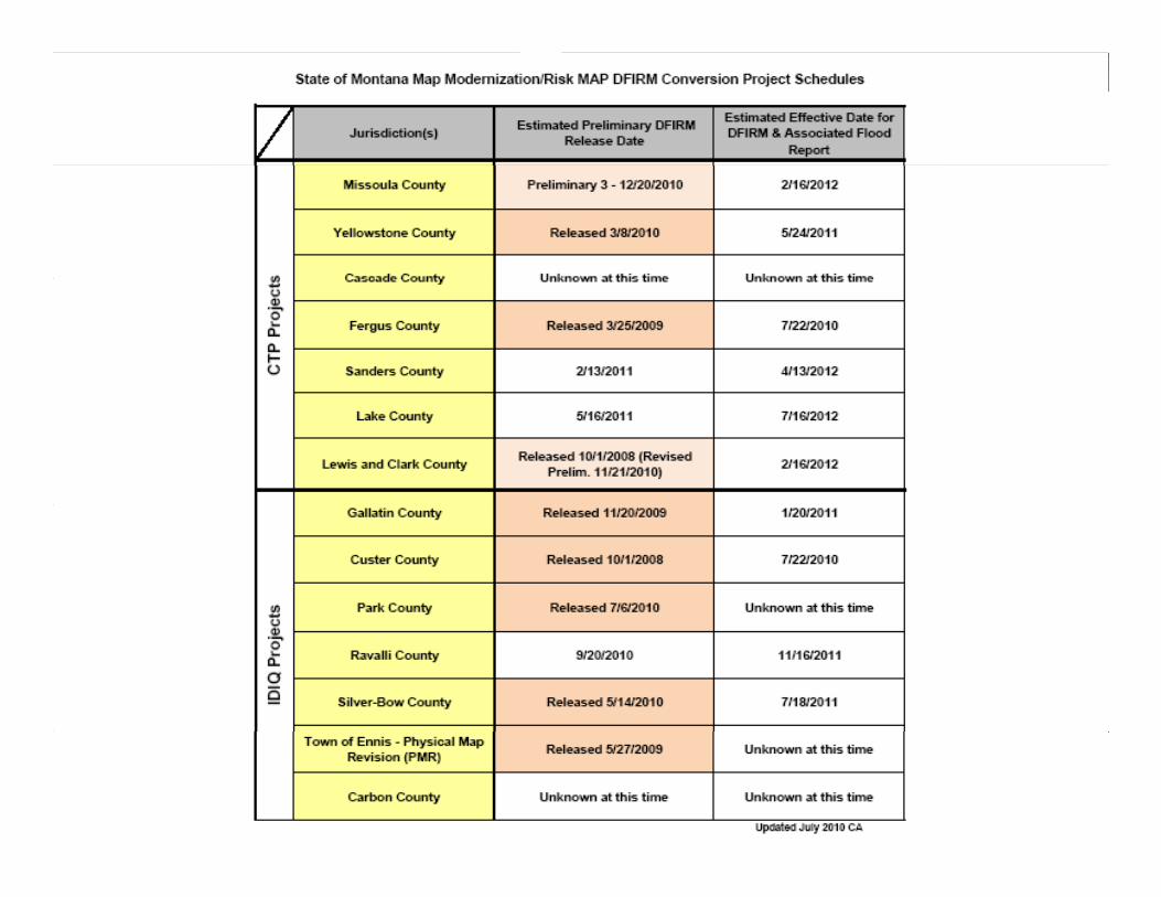
Floodplain Hazard Mitigation Assistance Program (FHMAP)Floodplain Hazard Mitigation Assistance Program (FHMAP) Map Mod/Risk MAP Program – Celinda AdairActivities:Activities:
Grant Writing, Contract/Grant Administration, & Project Management – FEMA funded Map Mod/Risk MAP projectsB i Pl C ti MT M M d/Ri k MAPBusiness Plan Creation - MT Map Mod/Risk MAP programFloodplain Mapping Needs Identification/PrioritizationProgram/Project Related Outreach & Trainingg j gBuilding Match, Partnerships, Collaboration DFIRM Distribution & MaintenanceEarned Value Tracking – Mapping Information Platform (MIP)
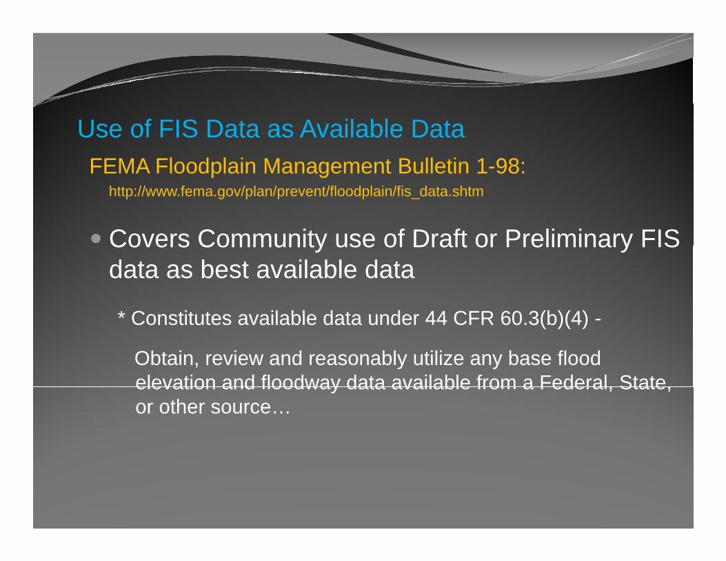
Use of FIS Data as Available DataFEMA Floodplain Management Bulletin 1-98:p g
http://www.fema.gov/plan/prevent/floodplain/fis_data.shtm
Covers Community use of Draft or Preliminary FISCovers Community use of Draft or Preliminary FIS data as best available data
* Constitutes available data under 44 CFR 60 3(b)(4)* Constitutes available data under 44 CFR 60.3(b)(4) -
Obtain, review and reasonably utilize any base flood elevation and floodway data available from a Federal Stateelevation and floodway data available from a Federal, State, or other source…

DNRC State FloodplainDNRC State Floodplain Management Program
Floodplain Hazard Mitigation Assistance Program (FHMAP) State Floodplain Engineer – Steve Story
P id i i h i l iProvides engineering technical assistance to state programs (CAP, Map Mod/Risk Map), performs/reviews floodplain studies, community assistance, special p , y , pprojects, training & outreach.
Outreach Coordinator – Mary GuokasLeads outreach efforts in coordination with CAP and
Map Mod/Risk Map programs prepares quarterlyMap Mod/Risk Map programs, prepares quarterly Highground Newsletters, attends conferences, & more…
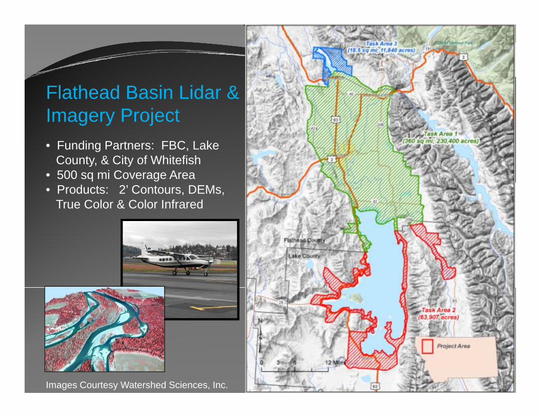
Flathead Basin Lidar & Imagery Project• Funding Partners: FBC, Lake
County, & City of Whitefish• 500 sq mi Coverage Area• Products: 2’ Contours, DEMs,
True Color & Color Infrared
Images Courtesy Watershed Sciences, Inc.
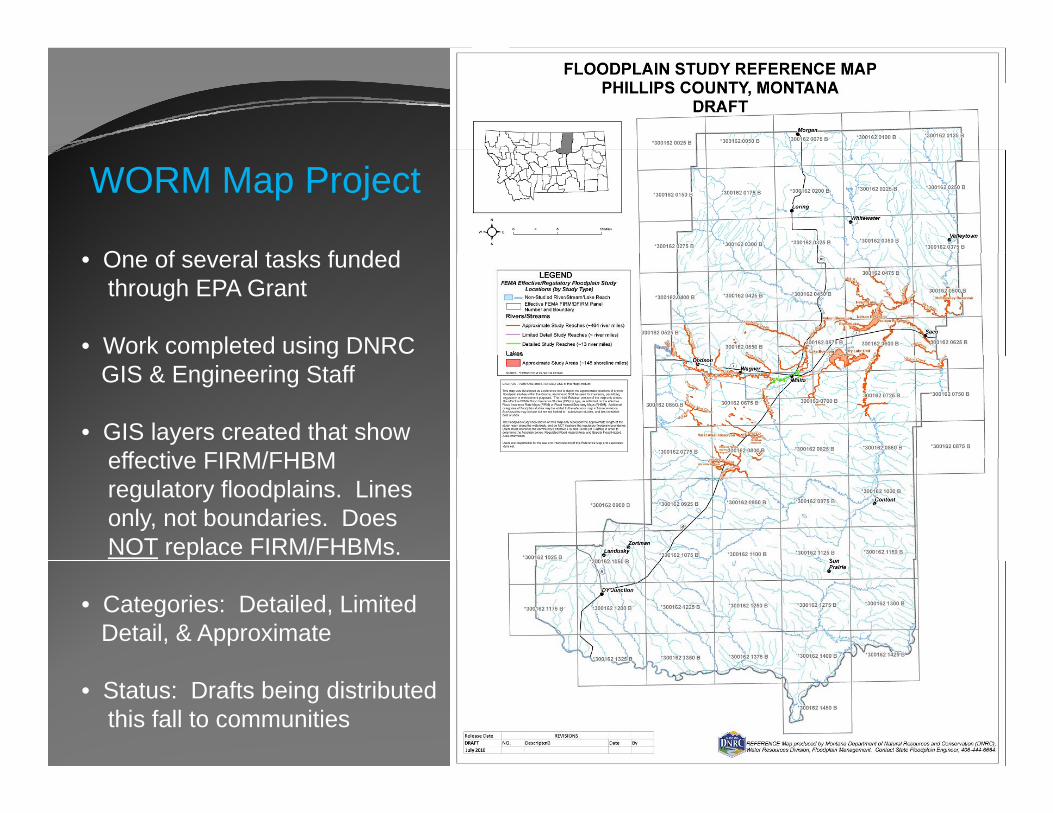
WORM Map Project
O f l t k f d d• One of several tasks fundedthrough EPA Grant
• Work completed using DNRCp gGIS & Engineering Staff
• GIS layers created that showeffective FIRM/FHBMeffective FIRM/FHBM regulatory floodplains. Linesonly, not boundaries. DoesNOT replace FIRM/FHBMs.
• Categories: Detailed, Limited Detail, & Approximate
• Status: Drafts being distributedthis fall to communities
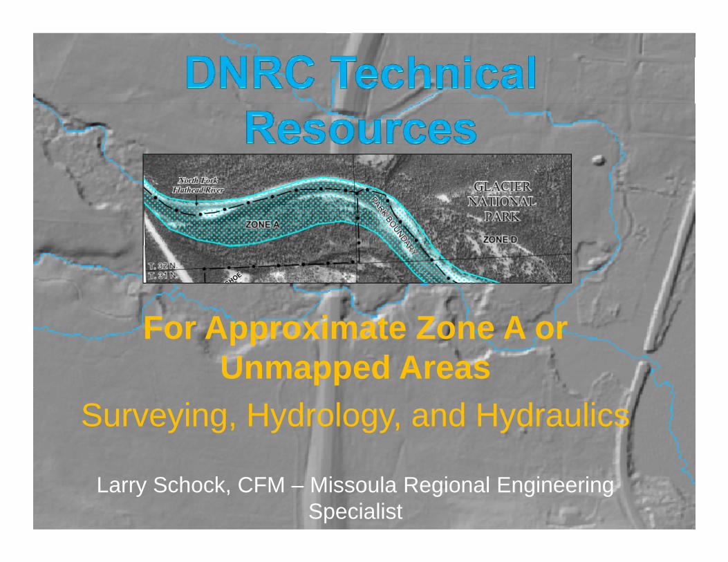
F A i t Z AFor Approximate Zone A or Unmapped Areas
Surveying, Hydrology, and Hydraulics
Larry Schock, CFM – Missoula Regional Engineering Specialist
DNRC Technical Resources Introduction
Since the DNRC offers complimentary engineering technical support to the NFIP communities, there
d t id t h i l f tharose a need to provide technical resources for the consulting sectors.The technical resources that have been developedThe technical resources that have been developed by the DNRC are basic guidelines to help explain some of the more complex tasks in the floodplain process.Some sections of these documents have become dated and being updated therefore they should bedated and being updated, therefore they should be considered DRAFT documents.
DNRC Technical ResourcesSurveying GuidelinesSurveying Guidelines
“Guidelines For Water Course Surveys In Undesignated or Zone A Flood Zones”g
This can be found at the DNRC Floodplain Websitep
www.mtfloodplain.mt.gov/ p g
www.dnrc.mt.gov/wrd/water_op/floodplain/default.asp
DNRC T h i l RDNRC Technical ResourcesSurveying GuidelinesSurveying Guidelines
The document is intended to describe the minimum topographic requirements needed in order to construct ga reasonably reliable hydraulic model.
The process described within the document is only intended for use on limited reaches of the water coursecourse.
The document also outlines submittal requirementsThe document also outlines submittal requirements.
DNRC T h i l RDNRC Technical Resources
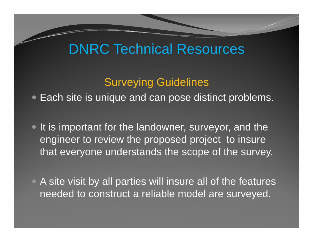
Surveying GuidelinesEach site is unique and can pose distinct problems.
It is important for the landowner, surveyor, and the i t i th d j t t iengineer to review the proposed project to insure
that everyone understands the scope of the survey.
A site visit by all parties will insure all of the features needed to construct a reliable model are surveyed. y
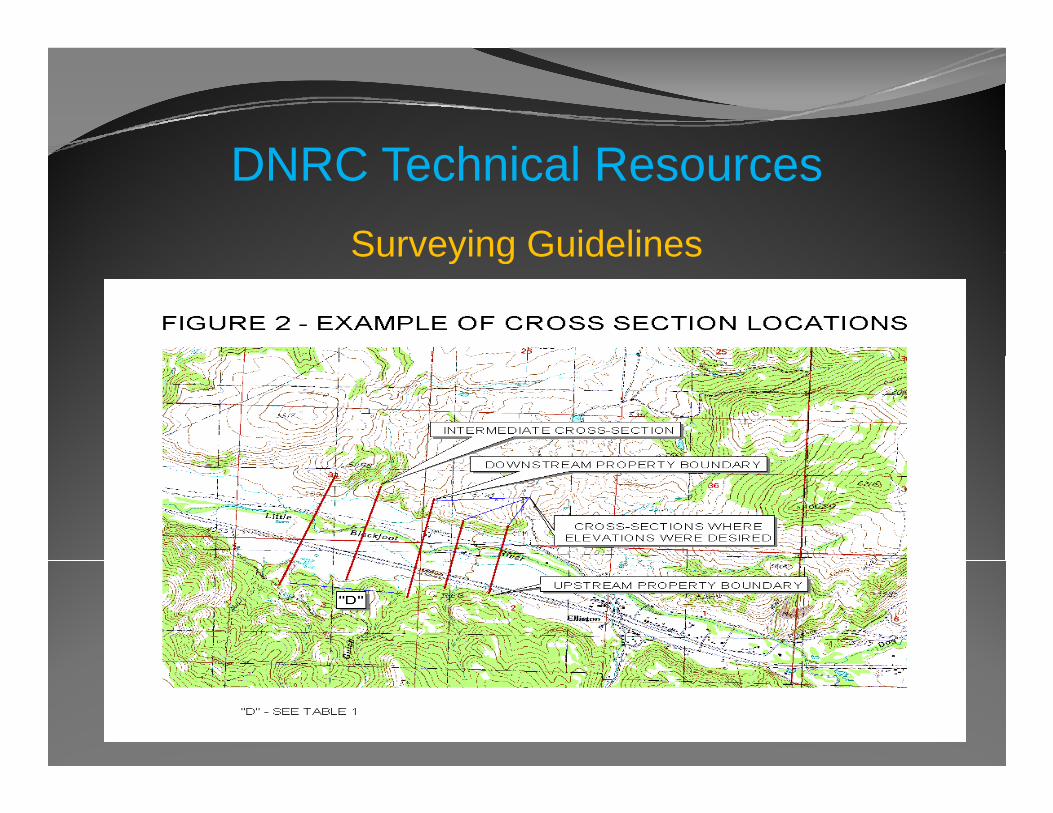
DNRC T h i l RDNRC Technical ResourcesSurveying GuidelinesSurveying Guidelines
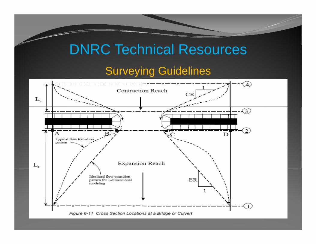
DNRC T h i l RDNRC Technical ResourcesSurveying Guidelinesy g
DNRC T h i l RDNRC Technical Resources
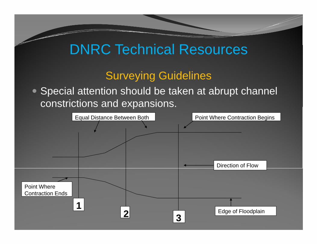
Surveying GuidelinesSurveying GuidelinesSpecial attention should be taken at abrupt channel constrictions and expansions.constrictions and expansions.
Equal Distance Between Both Point Where Contraction Begins
Direction of Flow
Point Where Contraction Ends
12 3
Edge of Floodplain
DNRC T h i l RDNRC Technical Resources
Surveying GuidelinesSurveying GuidelinesThe document :
Discusses the level of data and documentation thatDiscusses the level of data and documentation that must be submitted in order for DNRC review the project.
Provides examples of the format that should be used when submitting the data.g
Failure to submit all of the required data, in the f Cproper format, may result in DNRC review delays.
DNRC T h i l RDNRC Technical Resources
Hydrology and Hydraulic GuidelinesHydrology and Hydraulic Guidelines“Guidelines For Obtaining 100 Year Flood
Elevations In Approximate Zone A or UnmappedElevations In Approximate Zone A or Unmapped Areas”
This document is intended to describe the minimum s docu e s e ded o desc be e urequirements needed in order to construct a reasonably reliable hydraulic model
The guidelines are for models to determine the 100 B Fl d El ti (BFE) li it d hyr. Base Flood Elevations (BFE) on limited reaches
of a water course
DNRC T h i l RDNRC Technical Resources
Hydrology and Hydraulic GuidelinesSome sections of this document has become dated
fand is being updated, therefore it should be considered a DRAFT document
These guidelines are not all encompassing
The DNRC recognizes the many situations and sites are unique and may require analyses not covered inare unique and may require analyses not covered in the guideline
DNRC T h i l RDNRC Technical ResourcesHydrology and Hydraulic Guidelines
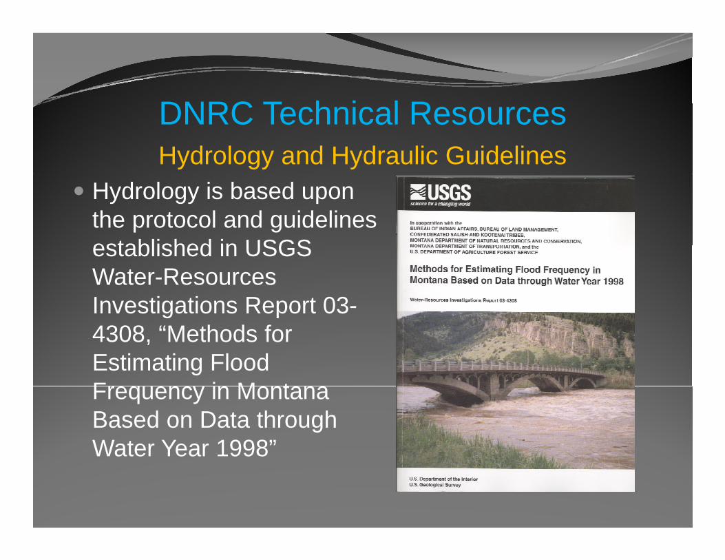
Hydrology is based upon the protocol and guidelines established in USGSestablished in USGS Water-Resources Investigations Report 03-g p4308, “Methods for Estimating Flood F i M tFrequency in Montana Based on Data through Water Year 1998”
DNRC T h i l RDNRC Technical Resources
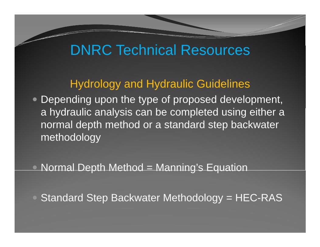
Hydrology and Hydraulic GuidelinesDepending upon the type of proposed development, a hydraulic analysis can be completed using either a normal depth method or a standard step backwater methodologymethodology
Normal Depth Method = Manning’s EquationNormal Depth Method Manning s Equation
Standard Step Backwater Methodology = HEC-RAS p gy
DNRC T h i l RDNRC Technical Resources
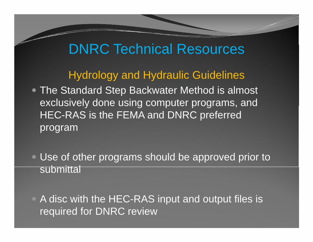
Hydrology and Hydraulic GuidelinesHydrology and Hydraulic GuidelinesThe Standard Step Backwater Method is almost exclusively done using computer programs, andexclusively done using computer programs, and HEC-RAS is the FEMA and DNRC preferred program
Use of other programs should be approved prior to b itt lsubmittal
A disc with the HEC RAS input and output files isA disc with the HEC-RAS input and output files is required for DNRC review
DNRC T h i l RDNRC Technical ResourcesHydrology and Hydraulic Guidelinesy gy y
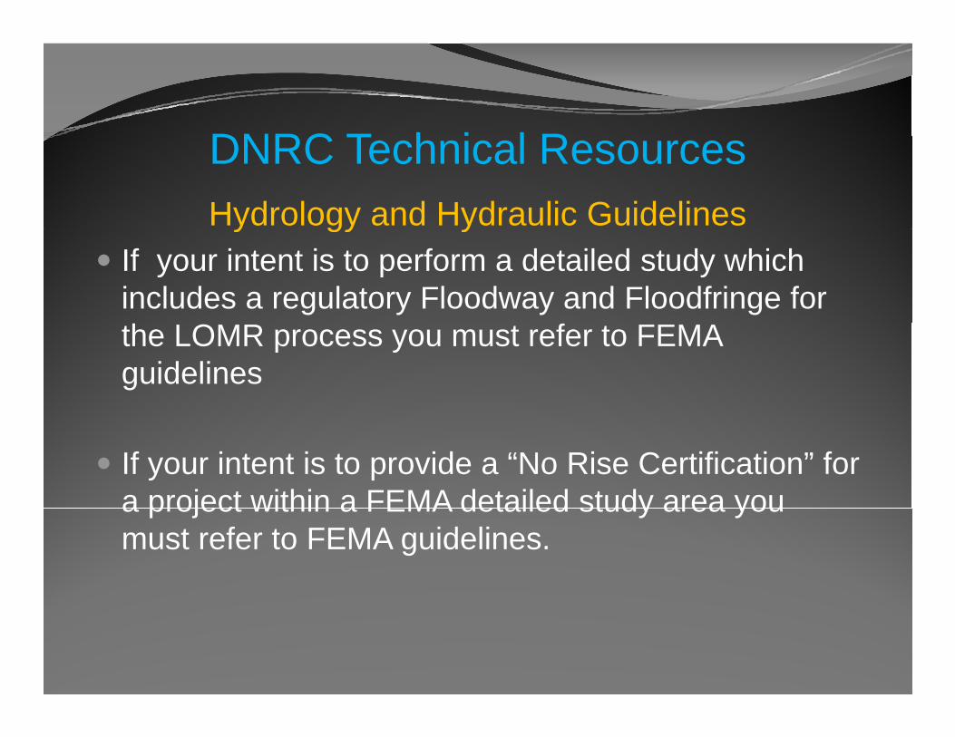
If your intent is to perform a detailed study which includes a regulatory Floodway and Floodfringe for the LOMR process you must refer to FEMA guidelines
If your intent is to provide a “No Rise Certification” for a project within a FEMA detailed study area youa project within a FEMA detailed study area you must refer to FEMA guidelines.
DNRC T h i l RDNRC Technical ResourcesHydrology and Hydraulic Guidelines
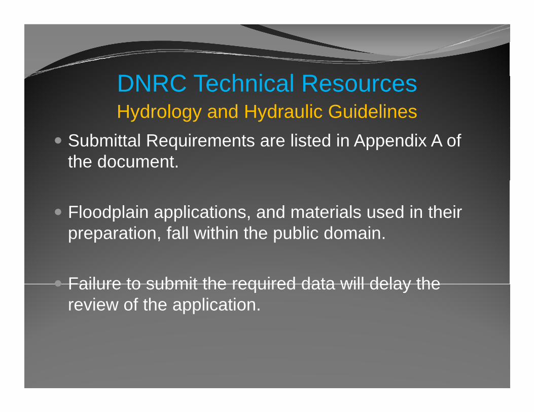
Submittal Requirements are listed in Appendix A of the document.
Floodplain applications, and materials used in their preparation fall within the public domainpreparation, fall within the public domain.
Failure to submit the required data will delay theFailure to submit the required data will delay the review of the application.
DNRC T h i l RDNRC Technical Resources
Surveying, Hydrology, and Hydraulics
The DNRC is currently in the process of updating y p p gexisting resources and developing new resources
Currently soliciting for your input, comments, and recommendations please submit to:recommendations…. please submit to:
Bri Shipman: [email protected]
Q ti ?Questions?Thank YouThank YouTraci Sears, CFMTSears@mt gov
Celinda Adair, CFM, CPPcadair@mt [email protected]
406.444.6654
Steve Story, PE, CFMsestory@mt gov
Larry Schock, CFMlschock@mt [email protected]
406.444.6664
Image Courtesy Watershed Sciences, Inc.