Embed Size (px)
Citation preview
US Army Corps of Engineers
BUILDING STRONG®
Eastern Shore Navigation Partnership
August 2013 Prioritization Breakout Session’sTask Group for WCV/VIP Hydro Survey
Initial Scoping Meeting Summary
Meeting Date 05 December 2013
BUILDING STRONG®US Army Corps of Engineers – Norfolk District 2
Background Events and Purpose of Meeting
• Eastern Shore Navigation Partnership formed and held its initial meeting in May 2004 for
addressing issues related to Federal navigation channel maintenance
• 3 Partnership Meetings have been held to date
• Last partnership meeting was 22 March 2013
• Hurricane Sandy appropriation provided funds for the Waterway on the Coast of Virginia
project (commonly called the Virginia Inside Passage, VIP)
• March 2013 partnership meeting spun off a breakout session on 16 August 2013 to prioritize
Superstorm Sandy response work
• August breakout session identified a comprehensive survey of WCV as #2 priority
• The task group meeting today is in response to the August meeting and intended to help the
Corps develop a scope of work for the comprehensive WCV/VIP hydrographic survey
BUILDING STRONG®US Army Corps of Engineers – Norfolk District 3
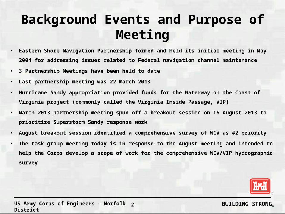
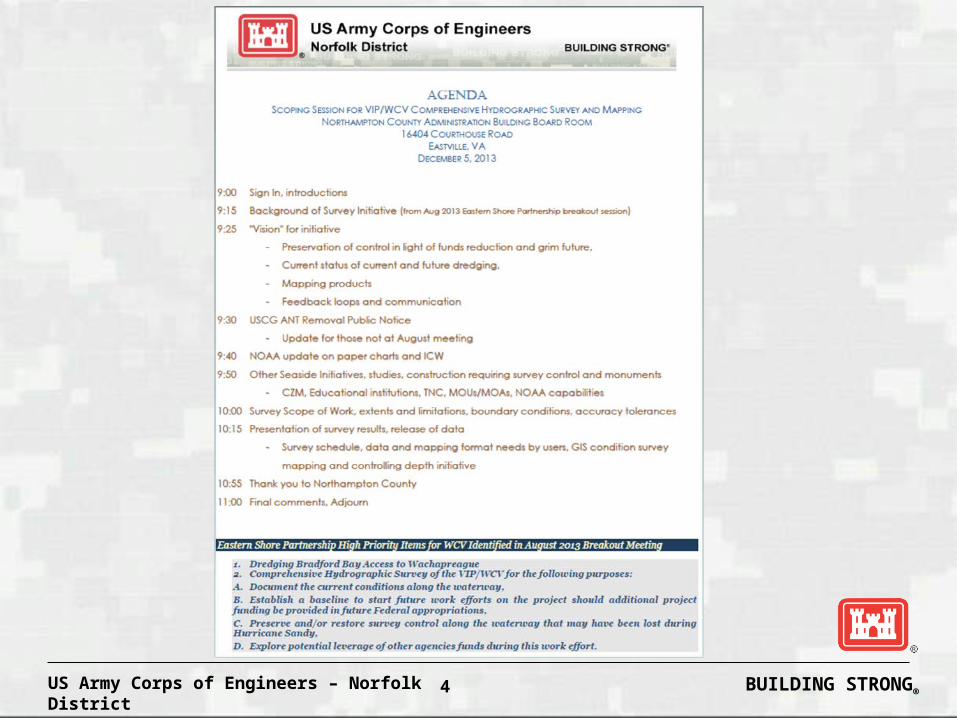
Hydro Survey Task ForceMeeting Handouts
• Meeting Agenda
• Eastern Shore Federal Channel
Location Map
BUILDING STRONG®US Army Corps of Engineers – Norfolk District 4

BUILDING STRONG®US Army Corps of Engineers – Norfolk District 5
BUILDING STRONG®US Army Corps of Engineers – Norfolk District 6
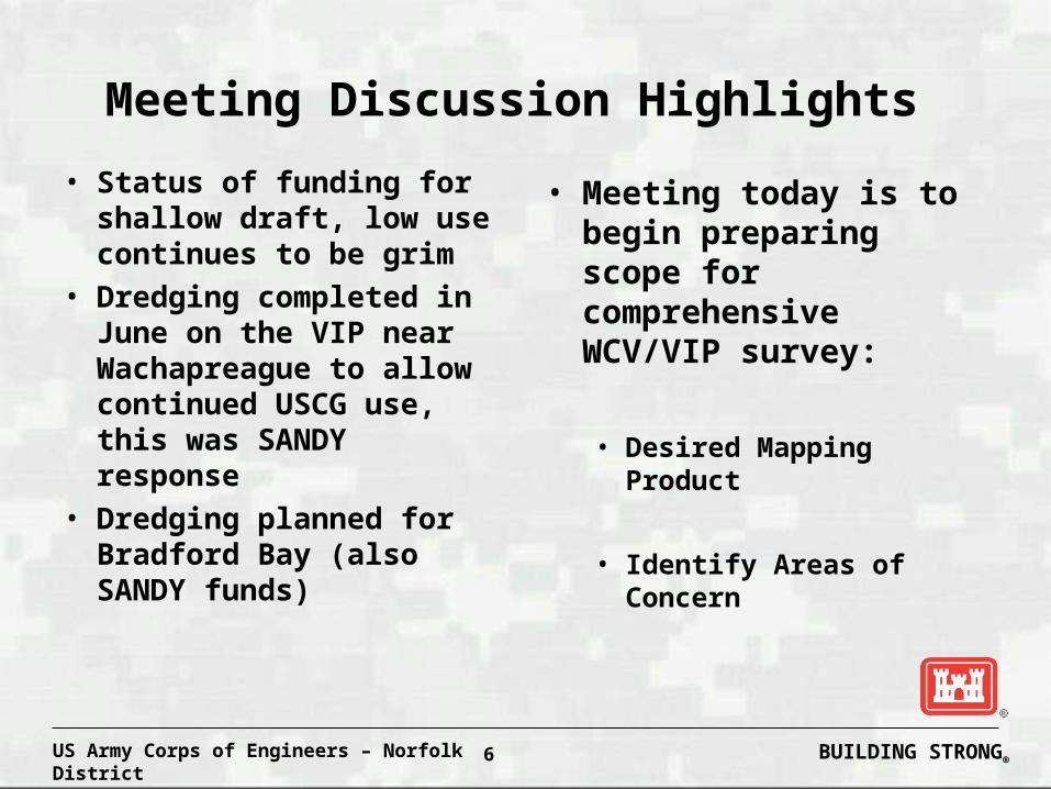
Meeting Discussion Highlights
• Status of funding for shallow draft, low use continues to be grim
• Dredging completed in June on the VIP near Wachapreague to allow continued USCG use, this was SANDY response
• Dredging planned for Bradford Bay (also SANDY funds)
• Meeting today is to begin preparing scope for comprehensive WCV/VIP survey:
• Desired Mapping Product
• Identify Areas of Concern
BUILDING STRONG®US Army Corps of Engineers – Norfolk District 7
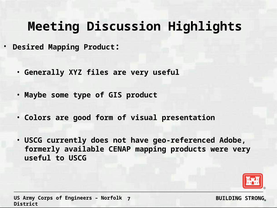
Meeting Discussion Highlights
• Desired Mapping Product:
• Generally XYZ files are very useful
• Maybe some type of GIS product
• Colors are good form of visual presentation
• USCG currently does not have geo-referenced Adobe, formerly available CENAP mapping products were very useful to USCG
BUILDING STRONG®US Army Corps of Engineers – Norfolk District 8
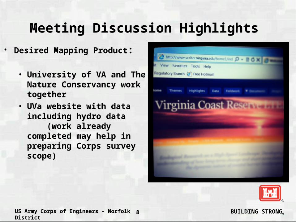
Meeting Discussion Highlights
• Desired Mapping Product:
• University of VA and The Nature Conservancy work together
• UVa website with data including hydro data (work already completed may help in preparing Corps survey scope)
BUILDING STRONG®US Army Corps of Engineers – Norfolk District 9
Meeting Discussion Highlights
• UVa has some survey data overlays with LIDAR at Magothy, S. Hog Island, Gargatha
• Old Dominion Univ• They do spider crab work at Cobb, South Bay.
May be useful for hydro survey
BUILDING STRONG®US Army Corps of Engineers – Norfolk District 10
Meeting Discussion Highlights
• Generally the deep areas of the WCV/VIP alignment are
not a concern and need little to no survey work
performed on them
• UVa/TNC Tide Stations at Oyster, Hog Island, Red Bank
• Tide gages, NOAA Center for Coast Studies
• Survey gages, need to tie areas between traditional
shoal areas • Develop common definition of “tide”
• NOAA COOPS may be an assist
BUILDING STRONG®US Army Corps of Engineers – Norfolk District 11
Meeting Discussion Highlights
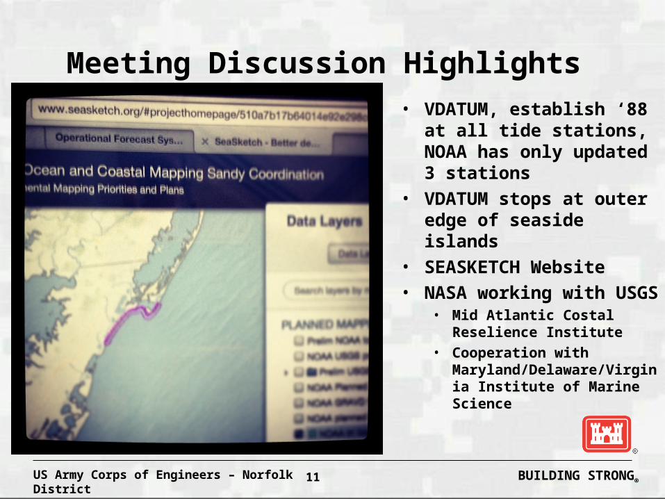
• VDATUM, establish ‘88 at all tide stations, NOAA has only updated 3 stations
• VDATUM stops at outer edge of seaside islands
• SEASKETCH Website• NASA working with USGS
• Mid Atlantic Costal Reselience Institute
• Cooperation with Maryland/Delaware/Virginia Institute of Marine Science
BUILDING STRONG®US Army Corps of Engineers – Norfolk District 12
Meeting Discussion Highlights
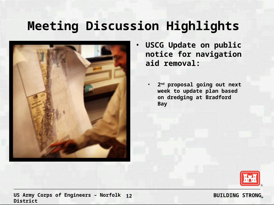
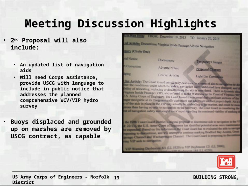
• USCG Update on public notice for navigation aid removal:
• 2nd proposal going out next week to update plan based on dredging at Bradford Bay
BUILDING STRONG®US Army Corps of Engineers – Norfolk District 13
Meeting Discussion Highlights
• 2nd Proposal will also include:
• An updated list of navigation aids • Will need Corps assistance,
provide USCG with language to include in public notice that addresses the planned comprehensive WCV/VIP hydro survey
• Buoys displaced and grounded up on marshes are removed by USCG contract, as capable
BUILDING STRONG®US Army Corps of Engineers – Norfolk District 14
Meeting Discussion Highlights
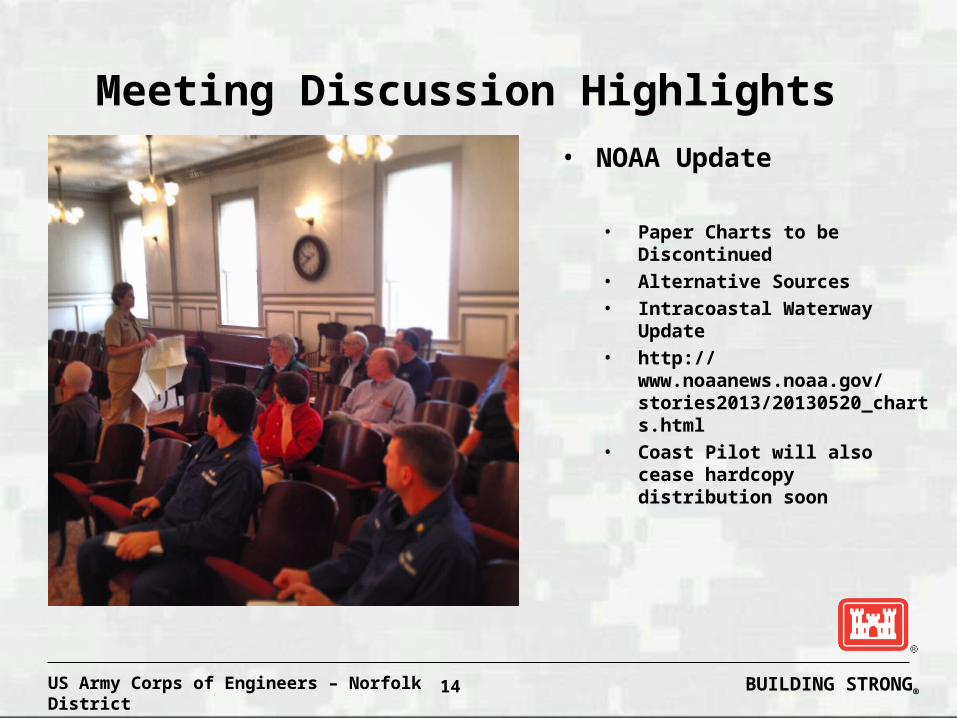
• NOAA Update
• Paper Charts to be Discontinued
• Alternative Sources
• Intracoastal Waterway Update
• http://www.noaanews.noaa.gov/stories2013/20130520_charts.html
• Coast Pilot will also cease hardcopy distribution soon

BUILDING STRONG®US Army Corps of Engineers – Norfolk District 15
Meeting Discussion Highlights
Intracoastal Waterway – How to respond
Respond by December 26, 2013.Link to FRN Announcement https://federalregister.gov/a/2013-23440
Email - [email protected] – 301-713-4019
For Questions Contact Lt.j.g. Leslie FlowersPh. 301-713-2730 Email [email protected].
BUILDING STRONG®US Army Corps of Engineers – Norfolk District 16
Meeting Discussion Highlights
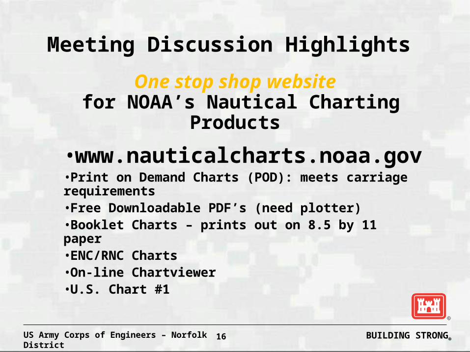
One stop shop website for NOAA’s Nautical Charting Products
•www.nauticalcharts.noaa.gov•Print on Demand Charts (POD): meets carriage requirements•Free Downloadable PDF’s (need plotter)•Booklet Charts – prints out on 8.5 by 11 paper•ENC/RNC Charts•On-line Chartviewer •U.S. Chart #1
BUILDING STRONG®US Army Corps of Engineers – Norfolk District 17
Conclusion and Follow-Up Items
• Look at UVA website to see what’s been done to date by others
• Next Week’s Public Notice from USCG – needs Corps’ language
• Mid-Atlantic Coastal Resilience Institute has Chincoteague NWR
involvement – any CENAB tie-ins?
• Post meeting notes and CENAO website and provide to participants
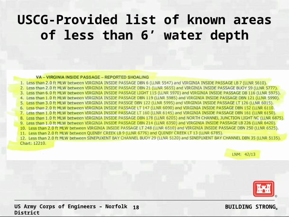
• USCG list of known areas less than 6’ deep
• Corps develop strawman scope of work and distribute for comment
BUILDING STRONG®US Army Corps of Engineers – Norfolk District 18
USCG-Provided list of known areas of less than 6’ water depth
BUILDING STRONG®US Army Corps of Engineers – Norfolk District 19
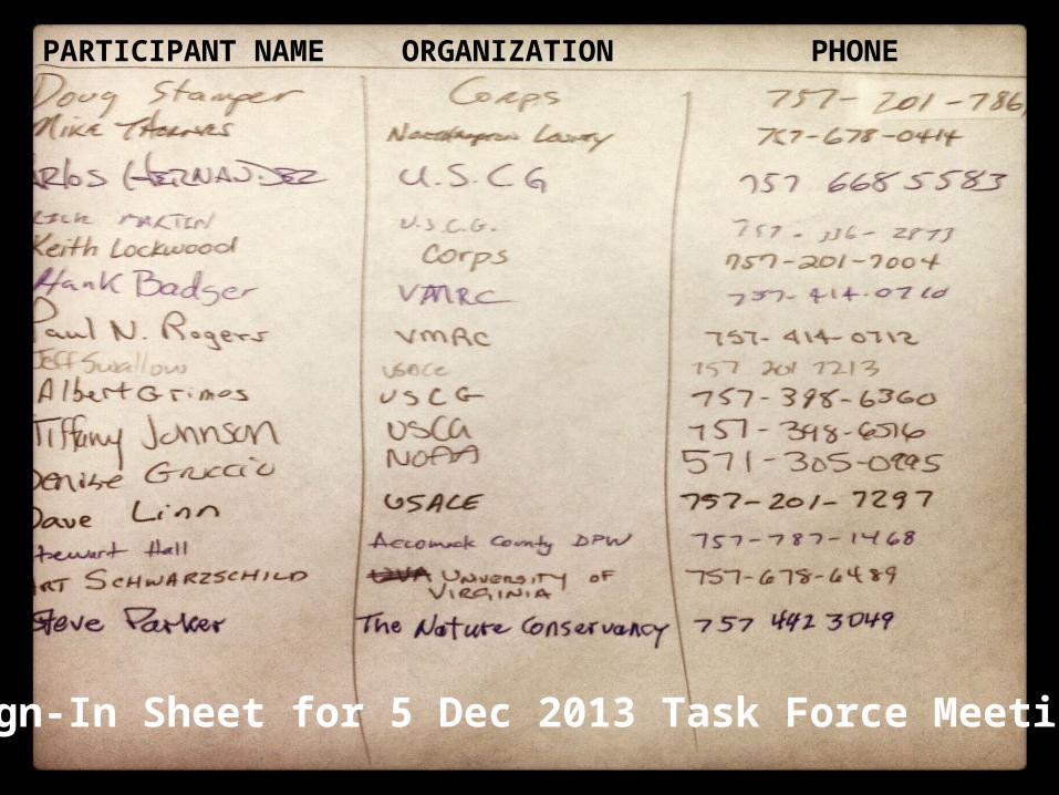
Sign-In Sheet for 5 Dec 2013 Task Force Meeting
PARTICIPANT NAME ORGANIZATION PHONE

BUILDING STRONG®US Army Corps of Engineers – Norfolk District 20
Questions/Comments?
• WCV/VIP Dredging and Surveying• 757-201-7861 (phone)
• NOAA• [email protected]