Embed Size (px)
Citation preview
7th Grade GeographyUsing geographic representation, tools, and
technology to define location, place, and region
THE ATLAS Lets explore the World Atlas!
Find 10 facts about the different continents based on their geographic features
http://www.worldatlas.com/aatlas/world.htm
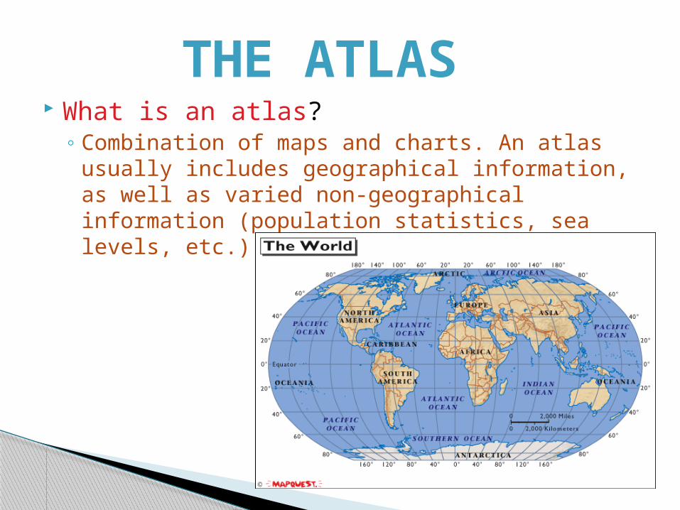
What is an atlas?◦ Combination of maps and charts. An atlas usually
includes geographical information, as well as varied non-geographical information (population statistics, sea levels, etc.) about a particular location.
THE ATLAS
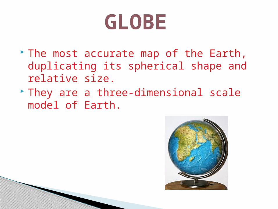
The most accurate map of the Earth, duplicating its spherical shape and relative size.
They are a three-dimensional scale model of Earth.
GLOBE
Globe How do they make globes?
◦ http://youtu.be/qgErv6M19yY
Thought Question:Why do you think so many companies use the world
as their company’s symbol?
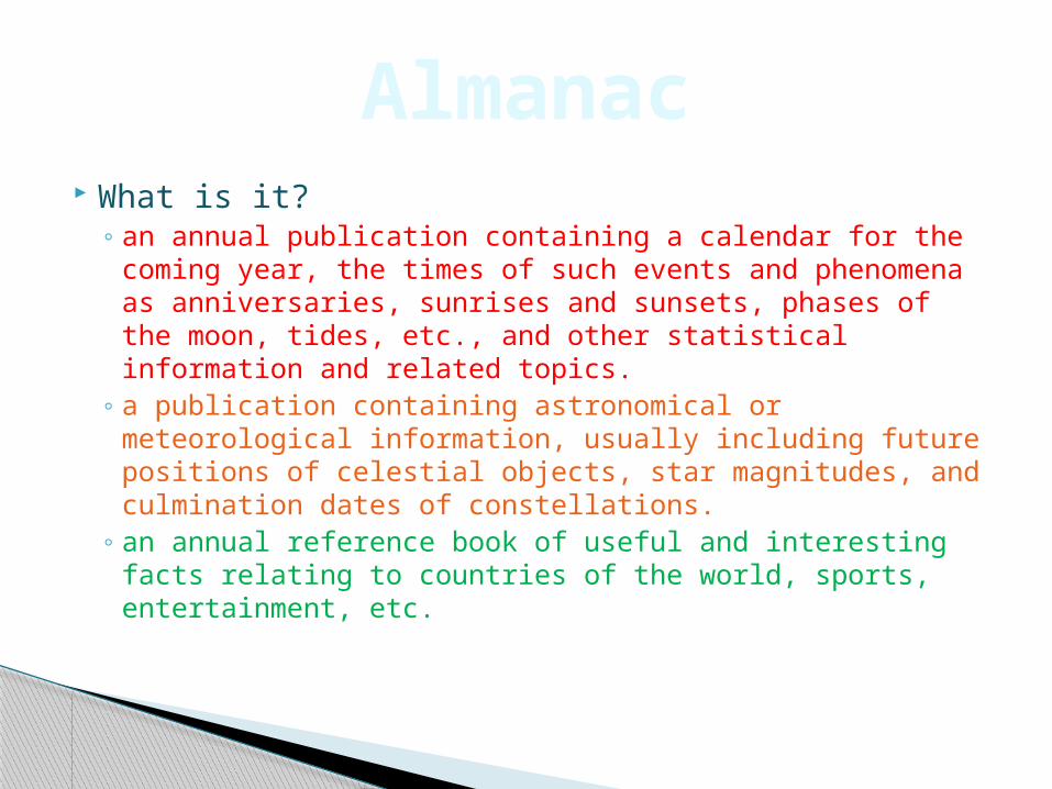
What is it?◦ an annual publication containing a calendar for the
coming year, the times of such events and phenomena as anniversaries, sunrises and sunsets, phases of the moon, tides, etc., and other statistical information and related topics.
◦ a publication containing astronomical or meteorological information, usually including future positions of celestial objects, star magnitudes, and culmination dates of constellations.
◦ an annual reference book of useful and interesting facts relating to countries of the world, sports, entertainment, etc.
Almanac
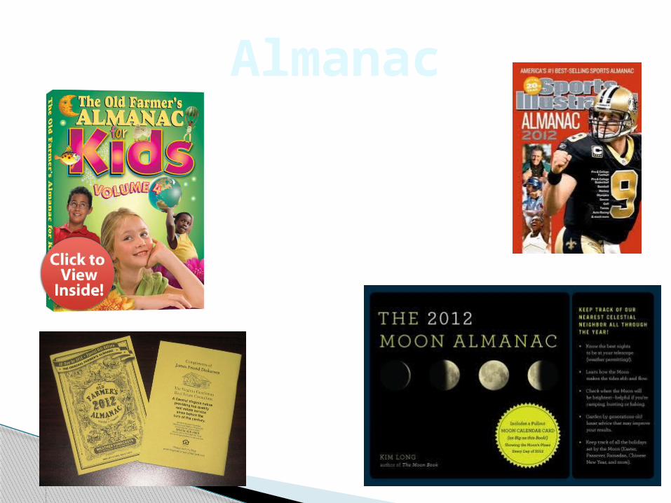
Almanac
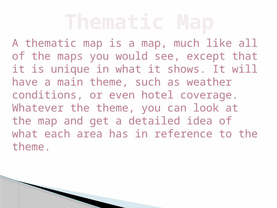
Thematic MapA thematic map is a map, much like all of the maps you would see, except that it is unique in what it shows. It will have a main theme, such as weather conditions, or even hotel coverage. Whatever the theme, you can look at the map and get a detailed idea of what each area has in reference to the theme.
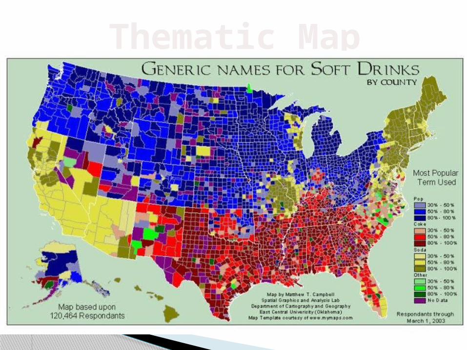
Thematic Map
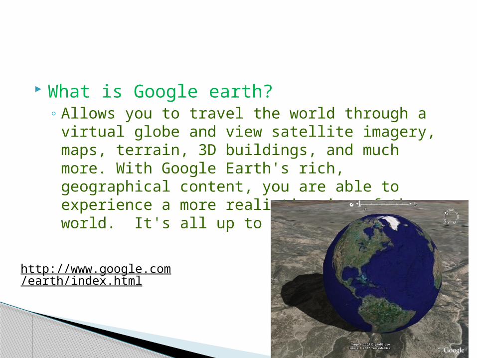
What is Google earth?◦ Allows you to travel the world through a virtual
globe and view satellite imagery, maps, terrain, 3D buildings, and much more. With Google Earth's rich, geographical content, you are able to experience a more realistic view of the world. It's all up to you!
Satellite Imaging
http://www.google.com/earth/index.html
Time to board the International Space Station and take pictures of our earth with other middle school students!
https://earthkam.ucsd.edu/
Satellite Imaging
TOPOGRAPHIC MAPA topographic map, or "topo map," is a way to show mountains and valleys on a flat piece of paper. Topo maps are handy and necessary for many uses, including building roads and hiking trails in the mountains. The map shows where the hills and valleys are and how steep they are.
Let’s make a topographic map of our very own mountain!
TOPOGRAPHIC MAP
http://spaceplace.nasa.gov/topomap-clay/
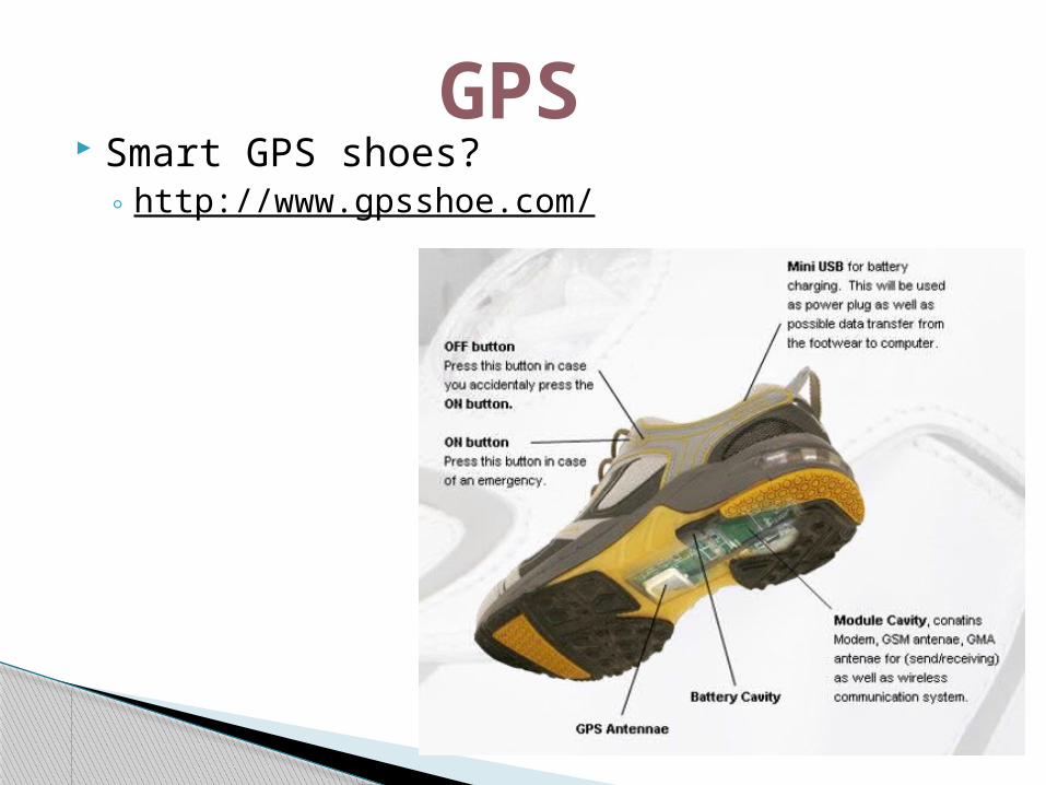
What’s GPS stand for?◦ Global Positioning System
◦What is GPS?a navigational system involving satellites and computers that can determine the latitude and longitude of a receiver on Earth by computing the time difference for signals from different satellites to reach the receiver
GPS
What is it?◦ Geocaching uses handheld GPS units to find hidden
"caches" in your neighborhood or out on the trails. These are containers of all sizes that may be camouflaged to blend into their surroundings. Inside there will be—at a minimum—a logbook to sign, with larger caches also containing an assortment of inexpensive trinkets for trade.
◦ More information on how to get started?http://www.rei.com/expertadvice/articles/geocaching+kids.html
Geocaching
GISA geographic information system is a system designed to capture, store, manipulate, analyze, manage, and present all types of geographically referenced data. The acronym GIS is means geographical information science or geospatial information studies.
How can students use this?◦ http://www.esri.com/industries/k-12/education/stu
dents.html
GIS
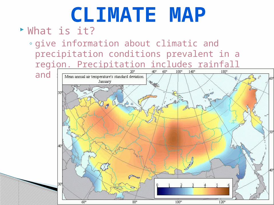
What is it?◦ give information about climatic and precipitation
conditions prevalent in a region. Precipitation includes rainfall and snowfall.
CLIMATE MAP
The United States Climate Map:
◦ http://www.esrl.noaa.gov/psd/data/usclimate/states.fast.html
CLIMATE MAP