Embed Size (px)
Citation preview
1
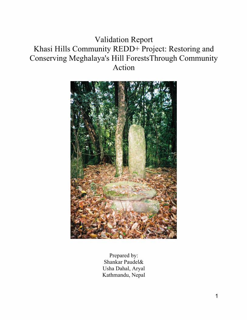
Validation Report Khasi Hills Community REDD+ Project: Restoring and
Conserving Meghalaya's Hill ForestsThrough Community Action
Prepared by: Shankar Paudel& Usha Dahal, Aryal Kathmandu, Nepal
2
Validation Report
Name of Reviewer: Shankar Paudel, Forestry and PESExpert , Kathmandu, Nepal. UshaDahal, Aryal, Gender and Livelihoods Expert, Kathamandu, Nepal Date of Review: August 15- September 15, 2012 with field visits on 20-27 August 2012 Project was reviewed against the Plan Vivo Standard (2008 version). Project Name: Khasi Hills Community REDD+ project: Restoring and Conserving Meghalaya's Hill Forests through Community Action Project Description: This project is situated in the East Khasi Hills District of Meghalaya, India. The project covers 27,139 ha.comprised of approximately 9270 hectares of dense forests and 5,947 ha.of open forests. The project engages ten indigenous Khasi governments (Hima) with approximately 62 villages and small hamlets. This project was initiated in January 2010. This projectoffers substantial carbon offsets plus additional environmental values in terms of improved watershed management and biodiversity conservation. Further, it has the long term objective of addressing the extreme poverty facing rural families through new income generating activities and training and capitalizing women to run micro finance institutions. This is one of the first REDD+ projects in Asia to be managed and implemented by indigenous communities with the support from Community Forestry International, the Bethany Society, the Khasi Hills Autonomous District Council, Planet Action and the Waterloo Foundation. The project area is very close to the Cherappunjee which holds the global record for the highest annual rainfall, yet despite the abundant rainfall, the project area is experiencing increasing dry season water shortages due to the accelerating loss of dense forests, which declined at an annual rate of 2.8% between 2006 and 2010. The rate of forest loss has been calculated by analyzing the satellite imagery of the project area. We have been briefed the process of analysis as well. The findings of CFI’s expert analysis of forest cover change in the project area reflects the larger trends identified by the Forest Survey of India for the Khasi Hills District where the project is located. Deforestation and forest degradation combined with increased temperature is putting pressure on the sustainability of poor peoples’ lives and livelihoods by undermining the hydrological function of the watershed, disrupting agricultural practices and contributing to soil erosion and downstream flooding in lowland Bangladesh and Assam. The project seeks to demonstrate how communities and indigenous governance institutions, coordinated through their own federation, can implement REDD+ activities in order to control drivers of deforestation. The project is designed to restore forest cover and improve watershed hydrology and support for sustainable livelihoods options for poor and marginalized households. The project has been approved by the Khasi Hills Autonomous District Council, with the encouragement of the Chief Secretary of the State of Meghalaya.
3
List of Documents Reviewed: • Plan Vivo Standards 2008. • Technical Specification of Khasi Hills Community REDD+ Project • Project Design Document of Khasi Hills Community REDD+ Project • Community Forest Management Plans of the visited sites • Sales Template Agreement • Plan Vivo Project Design Document (PDD), Himalayan Community Project, 2010,
Rupantaran Nepal. • Plan Vivo Validation Report, ArBolivia Project, Final Report: March 31st, 2011
Description of the Validation field visit The field work was commenced on 21st August 2012. At the beginning of the consultation a meeting was held with CFI, the Khasi Federation and Bethany Society representatives to agree on the validation process. Site visits and focus-group discussion with field staff, participants and other key informants (CFI, Federation, Bethany Society, HIMA, LWCs representatives, women’s self-help groups, and village headmen) were conducted to access relevant information and also to cross check and validate the information provided in the Technical Specification and PDD. It is very important to note that at all of the validation meetings and discussions at the field level, there was very active participation of local people, including the women, that reflected a broad-based awareness and interest in the program. Four consultative meetings with communities were held to identify if there were any discrepancies between the project documentation and field realities concerning governance systems, carbon, ecosystems and livelihoods. Sites visits were also made to the dense and open forests where field staff demonstrated survey methods, sample plot lay out and the procedures for measuring the biomass. Four (2 each in dense and open forest) sample plots were randomly selected for cross-checking the data described in Technical specifications. The result of the cross check of the sample plot verified that the resulting data was comparable to that reported in the Technical Specifications of the project. Core discussions with the communities at each site showed a good level of awareness about implementing various activities for REDD+ and ANR. The validation team found that communities have their own plan vivo (Management Plan) for the implementation of various needy and priority activities with the first installment of payment from the sale of the carbon credits. The community structure for forest management and payment system for benefit sharing is directed to those involved with manage activities and the poor of the community at the grass root level. This structure was found to be identical with the structure envisioned by the project. However, the strengthening of such community groups is a continuous process and needs external support for a few years. Here in this project site, Bethany Society has been found working for such activities. Overall, a very close correlation was discovered between the project documentation/database with the realities on the ground. Further, on-site observations and discussions provided opportunities to assess numerous aspects of the project, including staff knowledge, stakeholders' understanding of the project. Validation Opinion:
4
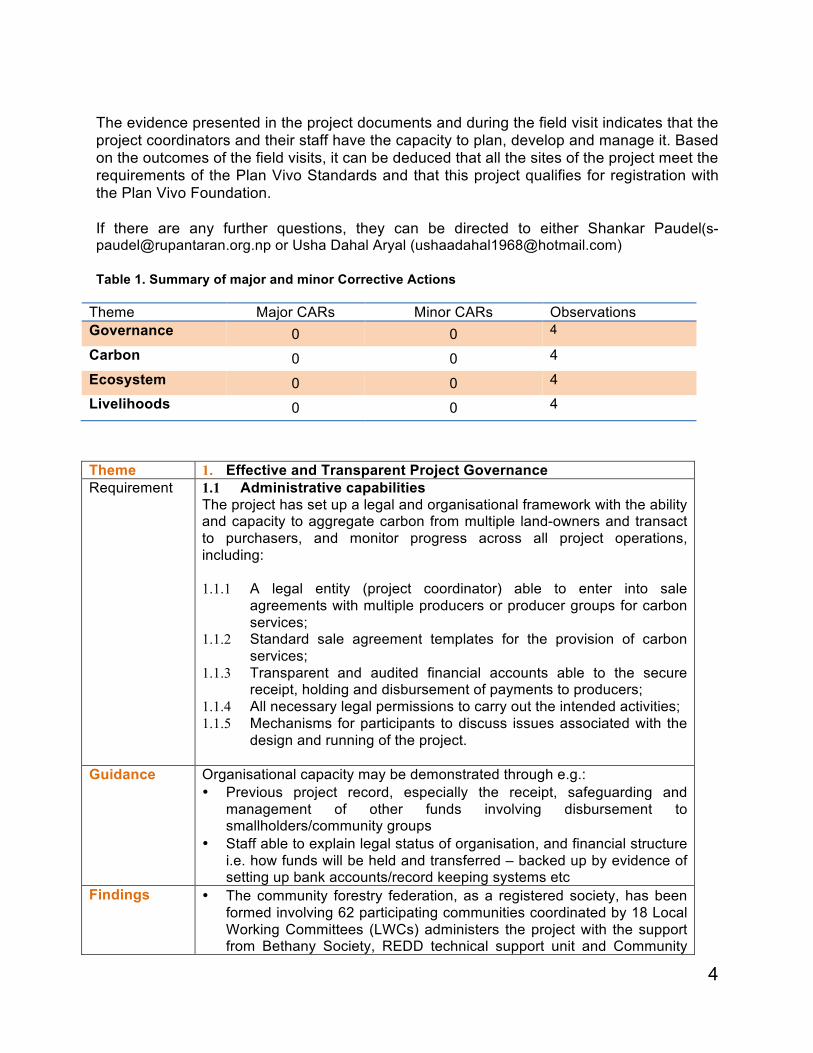
The evidence presented in the project documents and during the field visit indicates that the project coordinators and their staff have the capacity to plan, develop and manage it. Based on the outcomes of the field visits, it can be deduced that all the sites of the project meet the requirements of the Plan Vivo Standards and that this project qualifies for registration with the Plan Vivo Foundation. If there are any further questions, they can be directed to either Shankar Paudel([email protected] or Usha Dahal Aryal ([email protected]) Table 1. Summary of major and minor Corrective Actions
Theme Major CARs Minor CARs Observations Governance 0 0 4
Carbon 0 0 4
Ecosystem 0 0 4
Livelihoods 0 0 4
Theme 1. Effective and Transparent Project Governance Requirement
1.1 Administrative capabilities The project has set up a legal and organisational framework with the ability and capacity to aggregate carbon from multiple land-owners and transact to purchasers, and monitor progress across all project operations, including: 1.1.1 A legal entity (project coordinator) able to enter into sale
agreements with multiple producers or producer groups for carbon services;
1.1.2 Standard sale agreement templates for the provision of carbon services;
1.1.3 Transparent and audited financial accounts able to the secure receipt, holding and disbursement of payments to producers;
1.1.4 All necessary legal permissions to carry out the intended activities; 1.1.5 Mechanisms for participants to discuss issues associated with the
design and running of the project.
Guidance Organisational capacity may be demonstrated through e.g.: • Previous project record, especially the receipt, safeguarding and
management of other funds involving disbursement to smallholders/community groups
• Staff able to explain legal status of organisation, and financial structure i.e. how funds will be held and transferred – backed up by evidence of setting up bank accounts/record keeping systems etc
Findings • The community forestry federation, as a registered society, has been formed involving 62 participating communities coordinated by 18 Local Working Committees (LWCs) administers the project with the support from Bethany Society, REDD technical support unit and Community
5
Forestry International. • It has been observed that the federation is functional as it has its own
office, record keeping system, decision making process and bank account.
• The network meeting minutes demonstrated that it holds regular meetings involving the representatives from all 10 hima (participating indigenous governments). Likewise, the LWCs which also meet quarterly for supervising the implementation of the NRM plan.
• All of the participating communities are organized with formation of various Self-Help Groups (SHGs), Saving Credits Groups and Women's micro finance organization.
• The network has disbursed some amount of funds to communities for income generation activities, mobilizing field facilitators, carrying out technical activities for forest management. It has been observed that records are well-maintained and well organized.
• It has been observed that the federation is relatively new and has only the experience of managing very small fund, however, the members of the federation have shown the confident of managing larger amounts of project funding. The validators asked and explored the answer of ability to manage larger funds at different levels during the visit. During 2012, the Federation began managing its operating budget under the supervision of the Bethany Society and appears to have not encountered any problems. The federation has a functional system of fund management as they have been managing small funds received from CFI and others. Likewise, the Bethany Society, which is the local institution which has provided capacity enhancement support, has the experience of managing larger fund and expressed they will closely support the federation in managing the funds.
• Although, the Federation is planning to audit the network's account, members (more than 60) attending in the meeting with us expressed their belief that the network is transparent in decision making and financial management, so they trust them.
• The template for the sale agreement was prepared and endorsed by the meeting of federation. The meeting was also attended by the validator's team
• The project area, Khasi Hills, is under the autonomy of the Khasi Hills District Council, which has provided a written agreement for the implementation of this project in that region. Likewise, member from the autonomous hill council expressed that they will coordinate and cooperate at their level for successful implementation of this project. This agreement with the Khasi Hills District Council is not time bound. The Community Forests are owned by the Indigenous Governments (Hima) and managed by the participating villages on a day-to-day basis. This has been the arrangement dating back 400 years. The Khasi Hills District Council has expressed support for the project, but does not retain legal control, rather the forests are under the control of the communities. It does not appear that the District Council could take control of these lands, nor is there any precedent in Meghalaya of this occurring.
• The Validation team interviewed the project coordinator (Mr Palit),
6
Local NGO Project facilitator (Mr Carmo), Chief Community Facilitator (Mr Tambor), REDD Technical Support Unit Manager (Mr Swell), as well as a group of Community Facilitators. All of them are clear on the legal status of the organization and the way that fund will benefit the communities.
• Various platforms are already established to create an organizational framework for the project for coordination and dispute resolution. The project structure begins with community level groups working in coordination with the traditional village council (dorbar). Community forest management activities are coordinated with the traditional government (hima) and the Local Working Committees (LWC), who, in turn are overseen by the Federation and the Khasi Hills Autonomous Hill Council. In most of the cases decision are made on consensus. But, if any dispute/conflict arises, it is dealt at the local level, and if it is not successfully resolve, it is resolved by the next level of authority.
Requirement
1.2 Technical capabilities The project, through its participants, is able to provide assistance to producers in planning and implementing productive, sustainable and economically viable forestry and agroforestry systems, and provide support for silvicultural and other management operations.
Guidance • Project staff should be able to define clearly who is responsible for the provision of technical extension support
• Project staff should be familiar with the content of project technical specifications (e.g species to be planted, spacing requirements, management systems, potential issues)
Findings • The validators discussed with CFI representative- the project developer, Federation-the project implementer, Bethany Society-Project Technical Operations, Local Working Groups &Hima. For assessing the technical capacities of the project participants.
• CFI has engaged experience professional foresters to assist the Federation in developing the project. Technical support includes individuals trained at the national Indian Forestry College, including senior retired forestry officers, government DFOs (one is local to that area) are working much in developing the technical capacities of the community forestry facilitators.
• Community Forestry Facilitators have been already trained in the forestry inventory survey methodology, GPS devices, and monitoring forest inventory plots. A field demonstration by the community forest facilitator in the dense forest showed how they establish the plot and conducted the inventory according to the methodology.
• Staff and forestry facilitators are aware about the technical details of the project activities. Even, local people are also familiar with this as all of the local working committee has their own management plan prepared based on the project technical specifications.
• Local people and field worker are aware about the technical support they will get from the Bethany society which is working in providing technical support to field worker and federation has the trained person to coordinate it. Very recently, they have the forestry graduate volunteer from Belgium who is developing training manuals and computer templates to be used in the project.
7
• The validators found that the local district forest officers (DFOs) are also enthusiastic about the project and ready to provide technical support to the project as envisioned. Already, they are sending people from the project site to participate in the technical forestry training in other states/areas.
Requirement
1.3 Social capabilities 1.3.1. Able to select appropriate target groups, inform groups about
the Plan Vivo System and the nature of carbon and ecosystem services and establish effective participatory relationships with producers
1.3.2. Able to establish land-tenure rights through engaging with producers and other relevant organisations
1.3.3. Able to consult producers effectively on a sustained basis Guidance • Project coordinators should maintain minutes of community meetings
and training workshops etc. • Project staff should be able to explain (in line with PDD) how land
tenure is checked by the project • Project staff should be able to explain how communities/target groups
were involved in the development of the project and choice of activities Findings • The field staffs of the federation are able to identify the target groups.
We observed that they carried out the well-being ranking among the community groups to identify the target households. Field facilitators have the capacity to use participatory tools for example well-being ranking, resource mapping, social map and pair wise ranking. During the discussion with them, they were able to explain the process in detail.
• The project has been found developed with lots of discussion and consultations with local communities and communities are well aware about their roles and responsibilities in making it the success. In all community consultations, some of the critical and hypothetical questions have been asked to them, for example, what if no carbon certificate is sold and no money achieved. Almost all of the participants opined they will work their best to get their forest restored for their own environmental sustainability. Communities’ participation in the discussion was much higher than expected indicating that the project has got them on board on the project development process.
• Validators were able to observe the minutes made at the federation level which seem well-documented and organized.
• By the law of Indian government, the land tenure right belongs to the Khasi communities as ensured by forming the Autonomous Khasi Hill District Council (KHADC). This clear cut arrangement has ensured and enabled communities to develop this project. It has also been demonstrated by the assurance provided by the Khasi Hills Autonomous District Council India (KHADCl). CFI commissioned a detailed study of land and forest tenure in the East Khasi Hills in 2006. This document is available upon request from CFI (Documentation of Customary Forest Rules and Regulations in Mawphlang Lyngdohship and Raid Nongtluh Syiemship under Hima Mylliem by Kenneth Pala, CFI, (19 pp) October 2006).
• The project developers and supporting agencies have documented the
8
trainings and other support provided to the field staff and communities during the project development phase.
• Project coordinator, field staffs and executives of the federation and LWCs have clearly elaborated the process of project development, the process of engaging the communities and target households in the this project. It has been noticed that the expressions of concerned people at different level are consistent and aligned. No conflicting opinion is observed.
Requirement
1.4 Reporting Projects must on an annual basis, according to the reporting schedule agreed with the Plan Vivo Foundation:
1.4.1 Accurately report progress, achievements and problems experienced;
1.4.2 Transparently report sales figures and demonstrate resource allocation in the interest of target groups.
Findings 1.4.1 The project developer and Technical Support Unit of this project has developed the database linking with GIS. It is now in spreadsheet but are changing it into the MS Access format to enable for easy querying and reporting. Himalayan Community Carbon is in possession of a highly evolved database, which is linked to GIS data, and allows for a high degree of transparency in reporting.
Conformance Yes
No
N/A
CAR/REC Observation 1. Extra effort is necessary for capacity building of field facilitators in
technical capacities in forest measurement and forest monitoring. Will be helpful developing short and comprehensive manuals for field workers which will help them refresh on the knowledge they acquired in future.
2. Institutional strengthening should also continuously be the part of the supporting agencies in future.
3. The functional coordination with DFOs should also be in priority as they can support the project staffs in technical matters.
4. As the target communities are mostly poorly literate, regular awareness classes need to be organized to keep them abreast of the plan and progress of the project.
Theme 2. Carbon Benefits Requirement
2.1 Accounting methodology Carbon benefits are calculated using recognised carbon accounting methodologies and conservative estimates of carbon uptake/storage that take into account risks of leakage and reversibility.
Guidance Projects staff should identify the carbon accounting methodologies used (e.g. CDM, VCS, Plan Vivo). If projects are using their own methodology, validators should determine whether this is a valid approach.
x
9
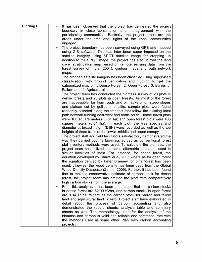
Findings • It has been observed that the project has delineated the project boundary in close consultation and in agreement with the participating communities. Basically, the project areas are the areas under the traditional rights of the khasi communities engaged.
• The project boundary has been surveyed using GPS and mapped using GIS software. This has later been super imposed on the satellite imagery using SPOT satellite image for cropping. In addition to the SPOT image, the project has also utilized the land cover stratification map based on remote sensing data from the forest survey of India (2004), contour maps and path network maps.
• The cropped satellite imagery has been classified using supervised classification with ground verification and truthing to get the categorized map of 1. Dense Forest, 2. Open Forest, 3. Barren or Fallow land, 4. Agricultural land.
• The project team has conducted the biomass survey of 20 plots in dense forests and 20 plots in open forests. As most of the forest are inaccessible, far from roads and or tracks or on steep slopes and plateau cut by gullies and cliffs, sample plots were found randomly selected along the transect that follow the existing local path network running east-west and north-south. Dense forest plots were 100 square meters (0.01 ha) and open forest plots were 400 square meters (0.04 ha). In each plot, the tree species and diameter at breast height (DBH) were recorded as well as the top heights of three trees at the lower, middle and upper canopy.
• The project staff and field facilitators satisfactorily demonstrated the way they carried out the bio-mass survey as conventional forest plot inventory methods were used. To calculate the biomass, the project team has utilized the same allometric equations used in similar localities of India. For instance, for dense forest, the equation developed by Chave et al, 2005 where as for open forest the equation derived by Peter Branney for pine forest has been used. Likewise, the wood density has been used from the Global Wood Density Database (Zanne, 2009). Further, it has been found that to make a conservative estimate of carbon stock for dense forest, the project team has omitted the plots with comparatively high carbon stocks from the average.
• From this analysis, it has been understood that the carbon stocks in dense forest are 62.00 tC/ha, and carbon stocks in open forest are 3.34 Tc/ha. Where as the carbon stock for barren and fallow land and agricultural land is zero. Project staff have elaborated in detail about the process of carbon accounting and also demonstrated the record sheets, analysis table and summary sheets as well. The methodology used for the analysis of the biomass and carbon is valid and reliable and commensurate with the methods used in some other Plan Vivo carbon accounting projects.
10
Requirement
2.2 Baseline Carbon benefits are measured against a clear and credible carbon baseline.
Findings • The baseline scenario has been established by analysing the forest degradation and deforestation trend of two different time period (2006 and 2010) by using SPOT satellite image analysis. The analysis shows that the dense forest is changing to non forest land at the rate of 2.8% per year and also changing to open forest at the rate of 0.1% per annum.
• It shows that the baseline is degrading in forested areas due to
continued deforestation and forest degradation reckoning the total carbon di-oxide emissions would be 587,511 tCO2 over 10 years in the absence of project activities. Likewise, it is assumed to be the static baseline in open forest where carbon stock will remain constant at 3.3 tC/ha even during the absence of the project activities.
Conformance Yes
No
N/A
CAR/REC None
Requirement
2.3 Additionality Carbon benefits are additional, i.e. the project and activities supported by the project could not have happened were it not for the availability of carbon finance. Specifically this means demonstrating, as a minimum:
2.3.1. The project does not owe its existence to legislative
decrees or to commercial land-use initiatives likely to have been economically viable in their own right without payments for ecosystem services; and
2.3.2. In the absence of project development funding and carbon finance, financial, social, cultural, technical, ecological or institutional barriers would have prevented the project activity.
Findings • In the project area participating communities are very poor living Below Poverty Line. Their livelihood is intricately associated with the ecosystem services from the watershed of the proposed project area. So, it is impossible for them to invest in implementing activities as proposed in the project activities without financial assistance.
• While discussing the project with local people, communities and other stakeholders, they assured the validators that the communities hold the full right to the forest area. And they won't convert it for any other commercialization activities undermining the ecosystem services.
• There are not any social, cultural, ecological or institutional barriers in implementing the project activities except the finance.
• People are committed and convinced in carrying out REDD and
x
11
ANR activities to increase the carbon benefits. The impact of it has already been seen by the local people who already started doing some level of activities voluntarily. For example, fire control, protection of forest area and grazing regulation.
• Even nearby communities already started demanding similar REDD and ANR project in their areas as well. It indicates the positive message of the project is being taken up by other communities as well. The continuation and expansion of this grassroots efforts, however, will require the development of the fully certified REDD project.
Conformance Yes
No
N/A
CAR/REC Requirement
2.4 Permanence 2.4.1. Potential risks to permanence of carbon stocks are
identified in project technical specifications and effective mitigation measures implemented into project design, management and reporting procedures.
2.4.2. Producers enter into sale agreements with the project coordinator agreeing to maintain activities, comply with the monitoring, implement management requirements and re-plant trees felled or lost.
2.4.3. As a minimum, a 10% risk buffer is deducted from the saleable carbon of each producer, where the level of buffer is recommended in the technical specifications according to the level of risk identified, and subsequently reviewed annually following annual reporting.
Findings • The forest and forest an area belongs to the community and
communities are committed to carrying out the proposed project activities, so there is limited risk of carbon leakage.
• The project has identified drivers of deforestation and degradation as to be forest fires, unsustainable firewood collection, charcoal making, stone quarrying, uncontrolled grazing and agricultural expansion.
• The project team has designed the mitigating activities to address those problems and is fully owned by the communities as well. People are being trained on the harvesting techniques, communities have already abandoned the charcoal making, and uncontrolled grazing is being regulated and discouraged the agricultural expansion within forest areas.
• All these are part of the sale agreement with the communities and federation and will be treated as the indicator for the performance and annual monitoring and reporting. The disbursement of the benefit through the federation to the community will be the basis of the performance.
• However, the project has identified 20% as the risk buffer and is deducted from the calculated total carbon benefit in the technical
x
12
specification and assumes it's valid for ex-ante selling of the Plan Vivo carbon certificates.
Conformance Yes
No
N/A
CAR/REC OBSERVATION Although users are much aware about the monitoring on which they have been reporting annually to respective organizations, some supports needs to be provided to them to meet the monitoring requirements based on the performance indicators and Plan Vivo system
Requirement
2.5 Leakage
Potential sources of leakage have been identified and effective mitigation measures implemented.
Findings • The technical specification outlines the similar potential leakage areas as mentioned in the section on permanence discussed above and provides leakage mitigation measures. It also describes that if the leakage mitigation measures are in place, the risk of leakage is minimal.
• The project has a plan to support communities to develop Village Natural Resource Management Plans (VNRMPs) to ensure that firewood requirements are met from community land by supporting communities to establish the plantations close to villages and capacitating them for sustainable harvesting adopting the rotational harvesting system
• Charcoal making and its purchase by industries has already been made illegal in Meghalaya. Support from authorities will be obtained as and when necessary to help check the illicit movement of charcoal in and around the project areas
• The project will introduce sustainable agricultural practices to replace the unsustainable swidden farming. The Shillong office of the Indian Council for Agricultural Research (ICAR) is collaborating with the project in this effort.
• Likewise, the project has a plan to take measures to tackle the problem of uncontrolled grazing. It will promote the exchange of cattle and goats for stall-fed livestock through animal exchange programme. It is assumed that it will reduce the grazing in the project area and will not increase the risk of grazing outside the project area. It has already successfully initiated such programmes targeting poor communities. The validators met with those households and found they have already generating more income from stall fed pigs and poultry then from cattle and goats.
• The government forest officer has sensitized neighboring communities about the REDD+ and it’s benefits. Likewise, the neighboring communities having observed the early changes in project site have been demanding to implement similar project in their areas too. There is no possibility of accessing project area by
x
13
other communities and posing risk as because of following reasons: 1) Khasi hills communities have a strong traditional system of land tenure where one community (Hima) must take the permission from another Hima for using or changing any resources. 2) Boundaries are relatively inaccessible natural boundaries as well for example either river or high peaks. So, it is not easy crossing the river or peaks from unusual sites and taking away the forest products
• Households have already initiated installing fuel wood efficient improve cooking stoves which have been found reducing the fuel wood consumption by more than 35%.
Conformance Yes
No
N/A
CAR/REC OBSERVATION Coordination with other agencies working for livestock promotion is necessary for capacity development of communities in stall feeding, preservation of fodder and pest/disease control.
Requirement
2.6 Traceability and double-counting
Carbon sales are traceable and recorded in a database. Findings • The project boundary has been precisely mapped using the GPS
and GIS software. Likewise, land use stratification, contour maps and also other maps are used along with the SPOT image for stratification of the landscape into dense forest, open forest, barren/fallow land and agriculture land.
• All categories of land use are distinctly different from each other and can be located on the map and on the ground. While doing so, sufficient field level information was used for higher precision in image classification to get the polygon (area/map) of each of them.
• Dense and open forest are inventoried separately and recorded for the purpose of analysis. So, there is no chance of being double counting.
• Information of each of the sample plots are recorded in project computers. Moreover, a time series photos of most of the sample plots are taken, geocoded, and archived.
• The maps, sample points and photos of sample plots can be superimposed in geocoded maps, images and even on the google earth.
• The project team has maintained the database of the information collected including the biomass survey, sample plot information and photos.
Conformance Yes
No
N/A
CAR/REC None
Requirement
2.7 Monitoring Project has an effective process for monitoring the continued delivery of the ecosystem services, where:
x
x

14
2.7.1 Monitoring is carried out against targets specified in
technical specifications; 2.7.2 Monitoring is carried out accurately using indicators
specified in technical specifications; 2.7.3 Monitoring is accurately documented and reported to the
entity responsible for disbursing payments to producers; 2.7.4 Corrective actions are prescribed and recorded where
targets are not met, and followed up in subsequent monitoring.
Findings • This project has specifically described the system for monitoring project activities utilizing various tools and methodologies. A biomass/carbon and socio-economic baselines have been established against which monitoring will take place.
• The project intends to carry out a biomass survey and photo monitoring each year. The project has already established the permanent monitoring plots (20 in dense forest and 20 in open forests). The federation and local working committees will conduct a biomass survey and photo monitoring of the permanent plot each year after the rainy season.
• The project has established a series of photo monitoring positions throughout the project area. Every year the photos are taken and compared with previous photos to assess the change in forest structure and rate of growth.
• Likewise, the project has a plan to conduct the image analysis of the project areas in every 5 years to monitor the land use and land use change. Next satellite image analysis will be done in 2016 and 2021. For this purpose as well, the biomass survey data will also be utilized as required.
• The annual report to Plan Vivo will include the monitoring results from biomass survey and photo monitoring with the findings of the satellite image analysis every five years. At the beginning the Bethany society together with the federation will submit the annual report to the Plan Vivo Foundation for few years. But once when the federation is fully capacitated, annual reports will be submitted by the federation itself. CFI is providing support as well for annual reports prepared in 2013 and 2014 to help build capacity.
• The project has developed the indicators and targets for annual surveys for ANR and REDD+ activities. Very specifically, it describes the indicators, target and threshold along with the means of verification (data source) as well. It is clear and comprehensive even for carrying out the monitoring activities.
• Likewise, for periodic satellite image monitoring, the technical specification clearly explains the indicators for REDD+ and ANR activities.
• The project assures that if the indicators are not met, the project team and federation will work with communities to maximize the delivery of the planned activities. The Federation, Hima, Communities and Bethany Society all expressed their full commitment to delivering the project. They expressed that they will seriously try to address the
15
comments and suggestions, if received, from Plan Vivo and others to improve the achievements of the project. So, they will prepare a corrective measures once they got the feedback.
• There will be community REDD+ project implementation monitoring by Local Working Committees staffs who will visit each village to discuss progress and problems associated with project implementation. In addition to that, the community will meet to discuss the results of past years activities and develop a new plan for the coming year.
Conformance Yes
No
N/A
CAR/REC
OBSERVATION: Community members and field staff needs to be coached and capacitated on technical work of image processing/analysis, GIS and database management on MS Access. OR, project can also outsource this expertise as and when necessary
Requirement
2.8 Plan Vivos Producers draw up Plan Vivos as part of a participatory process that ensures proposed land-use activities: ― Are clear, appropriate and consistent with approved technical
specifications for the project; ― Will not cause producers’ overall agricultural production or revenue
potential to become unsustainable or unviable. Findings • All of the participating 62 villages have drawn up the plan vivos
• As opined by one of the community participants, Plan Vivos have been prepared in a participatory way. Community people themselves drew the map of their landscape and delineated the areas for different interventions.
• Areas identified/delineated by communities were also GPS mapped and used GIS software to generate the map.
• These Plan Vivos are locally known as management plans. And this plan has been reviewed by validators and has been found fully aligned with technical specification and PDD. These are very simple, less technical and can easily be understood by local communities.
• Interventions proposed in these plans are not going to make producer's overall agricultural production become unsustainable and unviable but according to the community people restoration of forests and forest ecosystem will help to increase the agricultural productivity of the farm land situated at the bottom of the hills.
Conformance Yes
No
N/A
CAR/REC Theme 3. Ecosystem benefits
x
x
16
Requirement
3.1 Planting native and naturalised species 3.1.1. Planting activities are restricted to native and naturalised
species. 3.1.2. Naturalised (i.e. non-invasive) species are eligible only
where they can be shown to have compelling livelihood benefits and:
― Producers have clearly expressed a wish to use this species; ― The areas involve are not in immediate proximity to conservation
areas or likely to have any significant negative effect on biodiversity;
― The activity is still additional i.e. the producers in the area are not doing this activity or able to do this activity without the intervention and support of the project;
― The activity will have no harmful effects on the water-table.
Findings • Plantation of tree species is one of the major activities planned by the project.
• Communities have agreed to plant the native and naturalized species to that locality. No exotic species will be planted through this project.
• The project guarantees that these activities will not have any negative impacts on the water table and are supportive of ecosystem services. This assertion is based on customary knowledge. When discussing with local communities, they have expressed that the water source at the hill side has vanished when the hills were deforestated.
• Seedling production or seedling purchase, plantation preparation, plantation activities, casualty replacement, protection and other cultural activities requires time and money. People can donate the labour or can volunteer at some level but cannot invest money as they are very poor. So, unless and until the project funding is available, there will be actually no big progress on the ground.
Conformance Yes
No
N/A
CAR/REC OBSERVATION: Species choice for plantation should be done carefully. It should support in restoring and strengthening the local ecosystem, biodiversity and livelihoods. There should be detail planning discussion in the field once the project is approved.
Requirement
3.2 Ecological impacts Wider ecological impacts have been identified and considered expressly including impacts on local and regional biodiversity and impacts on watersheds.
Findings • The project envisioned that there will be a number of ecological impacts through undertaking the proposed intervention for this project.
• The primary impact will be the stabilization of forest cover and regeneration of degraded forests. This eventually will help to link forest fragments connecting old growth patches in sacred forests
x
17
and community forests with newly regenerating forest areas. • The fire management plan includes creating and maintenance of
fire line, employment of seasonal firewatchers will improve and extend the wildlife habitats.
• The project anticipates creating the wildlife refugia by creating the wild life corridors that connect forest patches
• Reducing hunting through conducting an awareness programme within the project will increase the recovery of endangered animals and bird populations
• Special attention will be provided to endemic species of orchids and amphibians by creating special refugia and conservation and education activities.
• Finally, the project will improve the hydrology of Umiam watershed by protecting and restoring watershed forests, implementing soil and water conservation measures, and improving the management of riparian areas.
Conformance Yes
No
N/A
CAR/REC None
Theme 4. Livelihood Benefits
Requirement 4.1 Community-led planning Project has undergone a producer/community-led planning process aimed at identifying and defining sustainable land-use activities that serve the community’s needs and priorities.
Findings • The project has been developed by local communities who are
facilitated by the project developers. • In most of the cases, during the meeting with local communities,
they were able to express sufficient knowledge regarding the project strategy, interventions, and their own roles and the roles of others. This indicates that the people are fully on board and are engaged in project activities.
• While developing the village level management plans, community people used various participatory tools to generate the information.
• Community people have been found to “own” the project concept, the proposed activities and potential benefit that is going to them for fulfilling their needs and priorities.
• The project seeks to deliver the following a range of socio-economic benefits to participating communities
o Strengthening indigenous institutions through government and private sector partnership and building capacity to include innovations in natural resources management and monitoring
o Improving community access to financial support for forest restoration and conservations
x
18
o Increase employment opportunities through improved forestry, agricultural and animal husbandry enterprises
o Developing and financing women-run micro-finance institutions.
Conformance Yes
N/A
CAR/REC None Requirement 4.2. Continued participation and training
Mechanisms are in place for continued training of producers and participation by producers in project development.
Findings • The project provides opportunities and encourages communities to take part in the project activities. It adopts bottom up approaches for planning, implementing and monitoring of the activities by involving and capacitating local communities.
• One of the important goals of the project is to create capacity within the federation and other community organizations to manage and implement this project. CFI, as project developer, is systematically transferring management authority to federation and the local support NGO (Bethany Society) during 1st phase of the project (2012-2014). CFI has an MOU with the Federation which was made available to the validators as well. The agreement notes that that CFI will provide technical support to the Federation to help them establish the project phasing out that support by 2014.
• Capacity development activities include training, cross visits, and consultancies. Local communities are given various trainings (Livelihoods related and REDD+ programme) through field staff already.
• CFI and staff from the Meghalaya Forest Department have plans to provide training to communities in the preparation of forest nurseries, tree planting, cultural and tending operations.
• Likewise other various institutional strengthening trainings are on plan for example record keeping system for the communities.
• Linkage are being established with line departments of the state government as well as central to obtain financial and technical support for high yielding agricultural varieties, horticulture and livestock breed for local farmers.
Conformance Yes
No
N/A
CAR/REC OBSERVATION: Development of capacity development materials including curriculum and reference/reading materials will be helpful for future for similar activities.
Requirement 4.3. Sale agreements Project has procedures for entering into sale agreements with producers based on saleable carbon from Plan Vivos, where:
x
x
19
4.3.1. Producers have recognised carbon ownership via tenure or land-use rights;
4.3.2. Agreements specify quantity, price, buyer, payment conditions, risk buffer, and monitoring milestones;
4.3.3. An equitable system is in place to determine the share of the total price which is allocated to the producer;
4.3.4. Producers enter into sale agreements voluntarily.
Findings • The state of Meghalaya is governed under the sixth schedule of the Constitution of India. This means that customary beliefs and practices are recognized and legitimized, including those governing the management of land, forests, minerals and other resources.
• Less than 10% of the state's forest are under the authority of the Government of India and the state forest which is largely limited to national parks and wildlife sanctuaries while the remaining 90% is held by communities.
• Forest in Khasi Hills are under the community and they have the right to protect, manage and utilize the forest products. Evidence of this is discussed in the CFI-commissioned study of land and forest tenure in the East Khasi Hills in 2006. This document is available upon request from CFI.
• The carbon revenue in the field are to be allocated by the federation based on agreed criteria to make the distribution more equitable and justifiable.
• The Project may need to revisit the level of payments made upon completion of proposed activities at some future point, to compensate for inflation over the long term. There is likely also an opportunity for the project to increase communication with producers on this topic, around the nature of these payments, i.e. they are intended to partially cover the producer’s costs, as a co-investor.
• All producers interviewed were found to have entered into the sales agreements, as with the whole project, voluntarily. The general perception was that the project enables producers to achieve a level of investment in REDD+ and ANR that would otherwise be unattainable, due to the capital outlay involved which cannot be invested by participating communities.
Conformance
Yes No
N/A
CAR/REC
Requirement 4.4. Payments to producers Project has an effective and transparent process for the timely administration and recording of payments to producers, where:
4.4.1. Payments are delivered in full when monitoring is successfully completed against targets in sale agreements;
x
20
4.4.2. Payments are recorded in the project database to ensure traceability of sales.
Findings • From the discussion with CFI, Bethany Society and Federation and reviewing the documents, it has been understood that there is a clear process of disbursing the fund from to the target households via federation--Community (Village Dorbar).
• There will be separate bank account of federation for this project and separate recording system will be in place. Likewise, community will also maintain the separate Cash Books to record the receiving and disbursement of the fund. All of these organization carries various auditing process to ensure the transparency and accountability for the amount received.
• Interview results with all smallholder participants confirmed that payments, in cash, are made through the bank transfer, as soon as monitoring by technical staff confirms the completion of targets established for operations.
• Hard-copy receipts are signed by both parties, and kept in the folder for the relevant smallholding, as verified through document review both in the field and at project office.
• Updating of database to be further verified as project scales up. Conformance
Yes No
N/A
CAR/REC Continuous support is necessary for capacity building in office management, record keeping and monitoring.
x