Embed Size (px)
Citation preview

Village of Alatna on Koyukuk River. J.B. Mertie photo 1061 of March 1924. USGS Historical Photo Library, Denver.

The mission at Allakaket. Robert Marshall photo. Courtesy of the Bancroft Library, University of California, Berkeley.

The missionaries at Allakaket. Robert Marshall photo. Courtesy of the Bancroft Library, University of California, Berkeley.

Bettles about 1930. Robert Marshall photo. Courtesy of the Bancroft Library, University of California, Berkeley.

Wiseman from across the Middle Fork, Koyukuk. Robert Marshall photo. Courtesy of the Bancroft Library, University of California, Berkeley.

The old roadhouse at Wiseman, with the 1929 'Cat hauling logs. Robert Marshall photo. Courtesy of the Bancroft Library, University of California, Berkeley.

Martin Slisco's Roadhouse, Wiseman. From the Alaska Sportsman Collection, Archives, University of Alaska, Fairbanks.

Kaypuk, Nakuk, and Mary English (Tishu Ulen's mother). Robert Marshall photo. Courtesy of the Bancroft Library, University of California, Berkeley.

Smith-Mertie party with eight sleds on way to Killik River winter camp; note nested boats on last sledge. J.B. Mertie photo 1078 of March 1924. USGS Historical Photo Library, Denver.

Topographer R.K. Lynt returning from sheep hunt to USGS winter camp in Brooks Range, March 28, 1924. J.B. Mertie photo 1099, USGS Historical Photo Library, Denver.

Geologist J.B. Mertie taking the first bath of the spring at the USGS winter camp site in the Brooks Range, May 28, 1924. P.S. Smith photo 1596, USGS Historical Photo Library, Denver.

Aerial view of Killik River Pass through Brooks Range. The Smith-Mertie USGS party of 1924 winter-camped in the area shown and floated down the Killik in the spring. R.M. Chapman photo 368 of 1947. USGS Historical Photo Library, Denver.

Uncrating canoes in preparation for Colville River survey of Smith-Mertie party. J.B. Mertie photo 1129 of May 1924. USGS Historical Photo Library, Denver.

Two Smith-Mertie party geologists in Peterboro Canoe on Colville River. J.B. Mertie photo 1185 of July 1924. USGS Historical Photo Library, Denver.

Geologist holds mammoth tusk on Colville River near junction of Etivuluk River. P.S. Smith photo 1681 of 1924. USGS Historical Photo Library, Denver.

The Foran party on the Utukok River: left to right, Belgard, Lonseth, Wix, Foran, and Hughes. W.T. Foran photo 41 of 1923. USGS Historical Photo Library, Denver.

The Foran party dragging canoe up narrow Meridian Creek on the approaches to the Arctic Divide. W.T. Foran photo 59 of 1924. USGS Historical Photo Library, Denver.

Eskimo dog-team and sled near Noatak Village. W.R. Smith photo 202 of 1925. USGS Historical Photo Library, Denver.

Natives of Noatak Village on Noatak River. W.R. Smith photo 199 of 1925. USGS Historical Photo Library, Denver.

USGS party back-packing and dog-packing in Arctic Alaska. J.B. Mertie photo 1401 of 1926. USGS Historical Photo Library, Denver.

Geologist and horse mosquito-proofed in northern Alaska. J.B. Mertie photo 1575 of 1930. USGS Historical Photo Library, Denver.

A moment of rest while hauling canoe over arctic portage. W.R. Smith photo 278 of 1925. USGS Historical Photo Library, Denver.

Identified as the Detroit Mining Company site on Hammond River by Harry Leonard. Robert Marshall photo. Courtesy of the Bancroft Library, University of California, Berkeley.
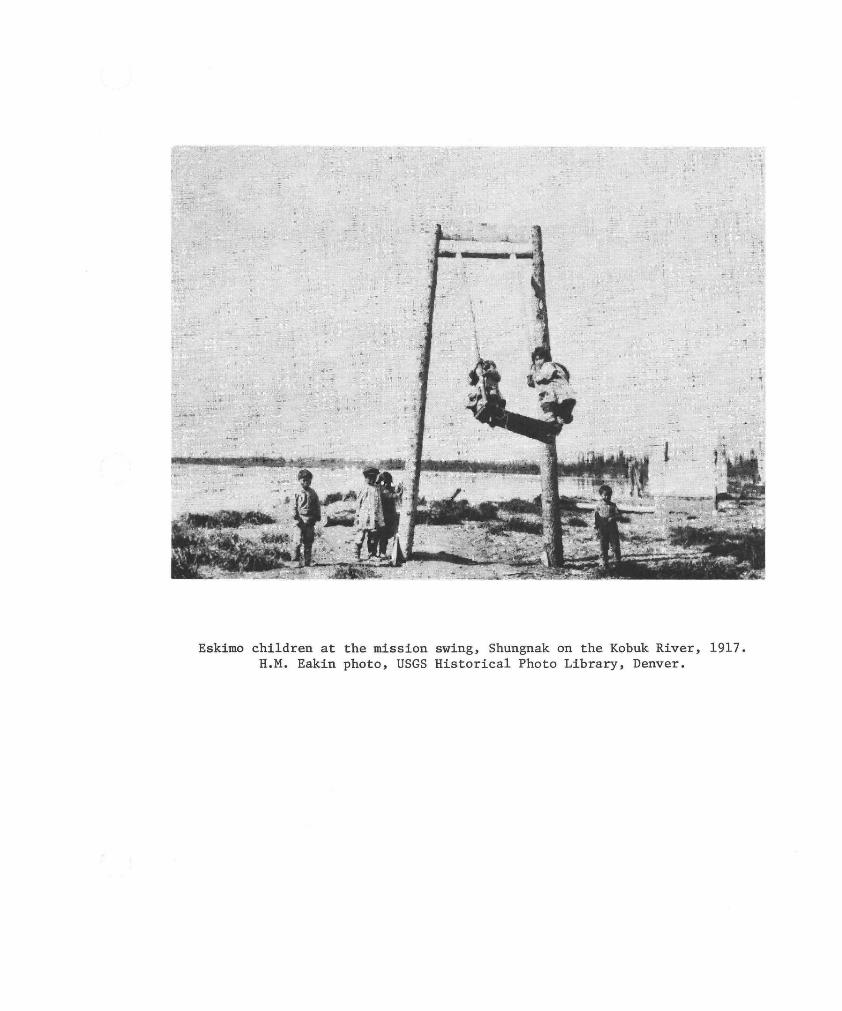
Eskimo children at the mission swing, Shungnak on the Kobuk River, 1917. H.M. Eakin photo, USGS Historical Photo Library, Denver.
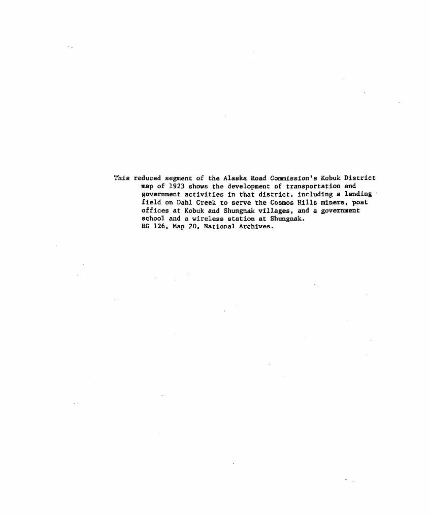
This reduced segment of the Alaska Road Commission's Kobuk District map of 1923 shows the development of transportation and government activities in that district, including a landing field on Dahl Creek to serve the Cosmos Hills miners, post offices at Kobuk and Shungnak villages, and a government school and a wireless station at Shungnak. RG 126, Map 20, National Archives.