Embed Size (px)
DESCRIPTION
Waukegan Harbor Sand Management
Citation preview
Waukegan Harbor
Sand Management
April 15, 2013
Shabica & Associates, Inc.
Sustainable Coastal Solutions
550 Frontage Road, Suite 3735Northfield, IL [email protected]
Quick Recap
� Shabica & Associates (SA) was hired by the City of Waukegan on October 15, 2012 to prepare a site analysis, preliminary designs and engineering, and cost estimates to help reduce the amount of sand accumulating in the outer harbor and entrance channel
� SA led and attended over 16 meetings with the City of Waukegan, individual stakeholders, the Port Authority, local industry, the Waukegan CAG Group, State and Federal Regulators, and others
2
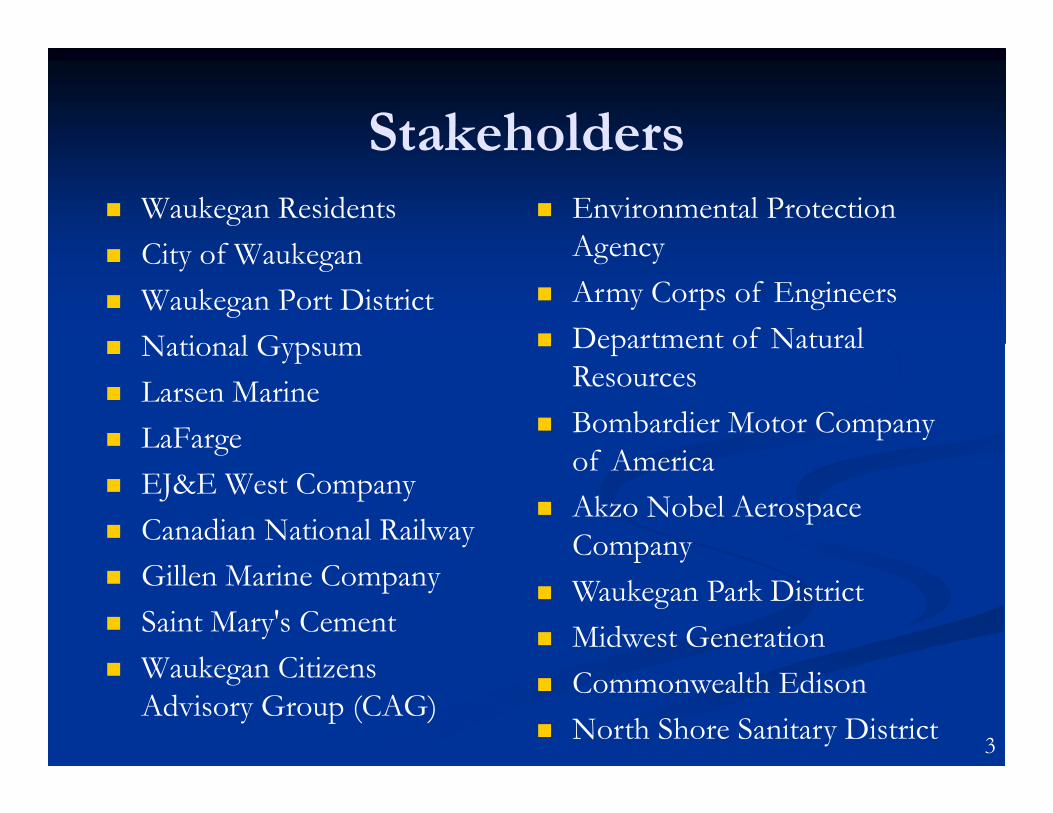
Stakeholders� Waukegan Residents
� City of Waukegan
� Waukegan Port District
� National Gypsum
� Larsen Marine
� LaFarge
� EJ&E West Company
� Canadian National Railway
� Gillen Marine Company
� Saint Mary's Cement
� Waukegan Citizens
Advisory Group (CAG)
� Environmental Protection
Agency
� Army Corps of Engineers
� Department of Natural
Resources
� Bombardier Motor Company
of America
� Akzo Nobel Aerospace
Company
� Waukegan Park District
� Midwest Generation
� Commonwealth Edison
� North Shore Sanitary District3
Problem Statement
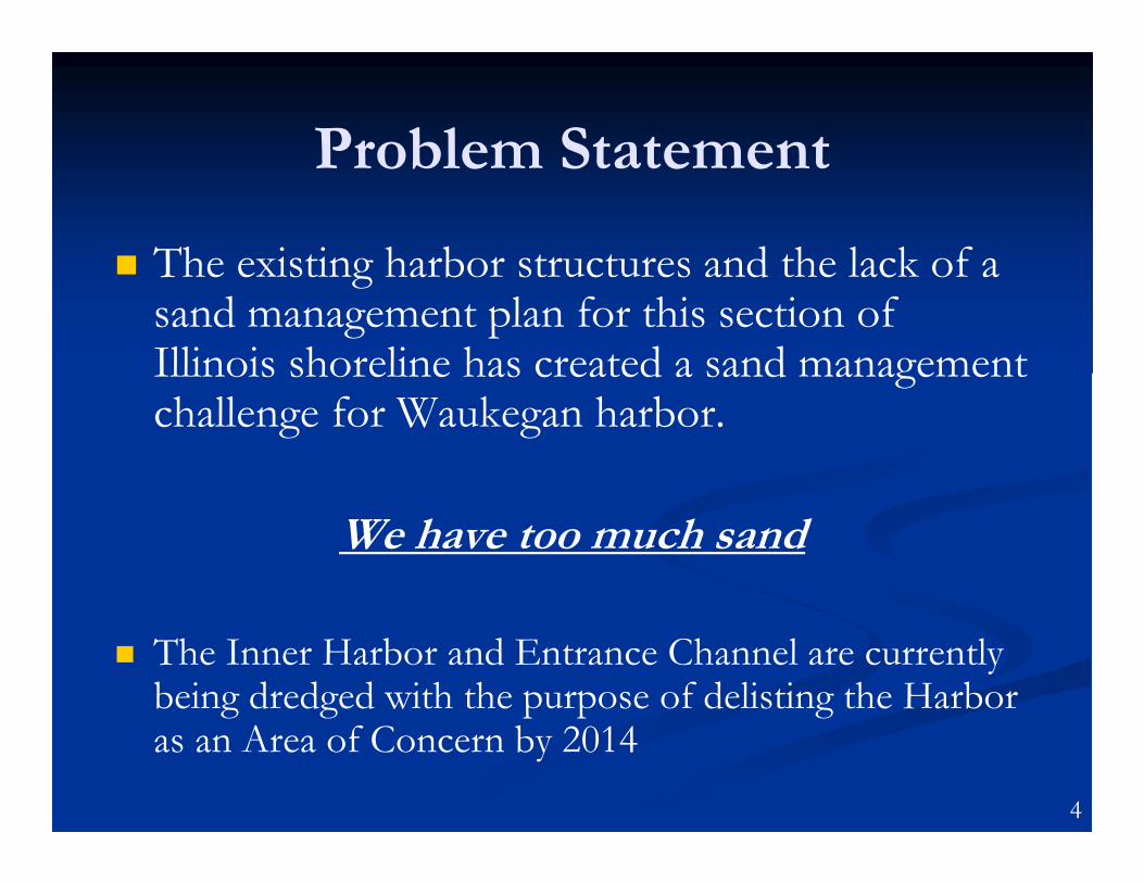
� The existing harbor structures and the lack of a sand management plan for this section of Illinois shoreline has created a sand management challenge for Waukegan harbor.
We have too much sand
� The Inner Harbor and Entrance Channel are currently being dredged with the purpose of delisting the Harbor as an Area of Concern by 2014
4
Sand Problem
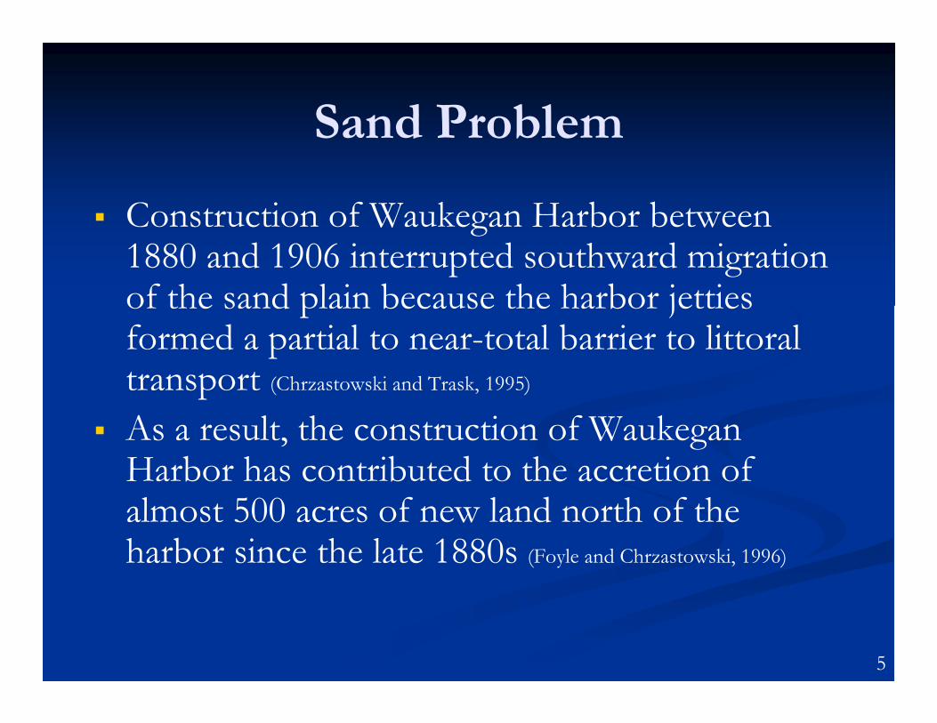
� Construction of Waukegan Harbor between 1880 and 1906 interrupted southward migration of the sand plain because the harbor jetties formed a partial to near-total barrier to littoral transport (Chrzastowski and Trask, 1995)
� As a result, the construction of Waukegan Harbor has contributed to the accretion of almost 500 acres of new land north of the harbor since the late 1880s (Foyle and Chrzastowski, 1996)
5
Littoral Sand Volume
� It is estimated that the amount of littoral sand transport from Illinois Beach State Park south to Waukegan Harbor averages a least 72,800 cubic yards per year (IDNR report #9643E, 1998)
� Approximately 94 acres of sand have
accumulated north of the harbor breakwater
with an additional 60 acres of underwater
offshore deposits since 1939, or approximately
3 million cubic yards of sand (WAUKEGAN HARBOR
DEPOSITION: Man’s Role in a Changing Landscape. Steve Jansen, May 2012)
6
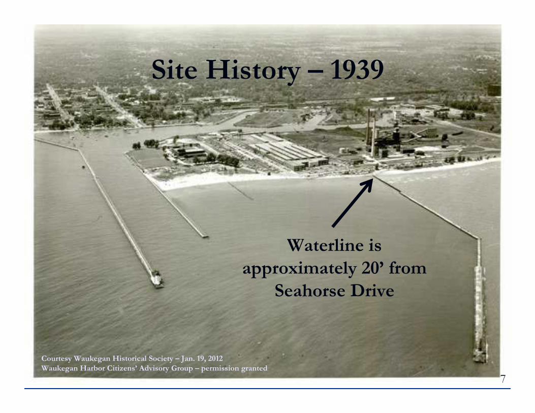
Courtesy Waukegan Historical Society – Jan. 19, 2012
Waukegan Harbor Citizens’ Advisory Group – permission granted
Waterline is
approximately 20’ from
Seahorse Drive
Site History – 1939
7
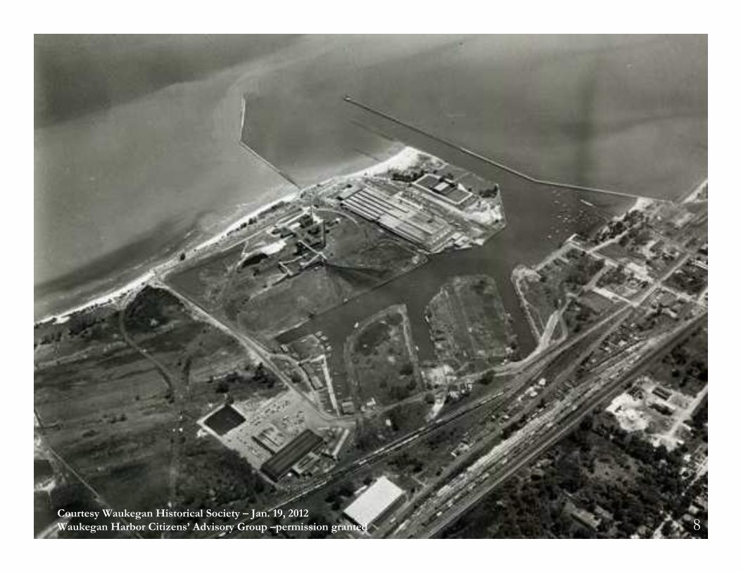
Courtesy Waukegan Historical Society – Jan. 19, 2012
Waukegan Harbor Citizens’ Advisory Group –permission granted 8
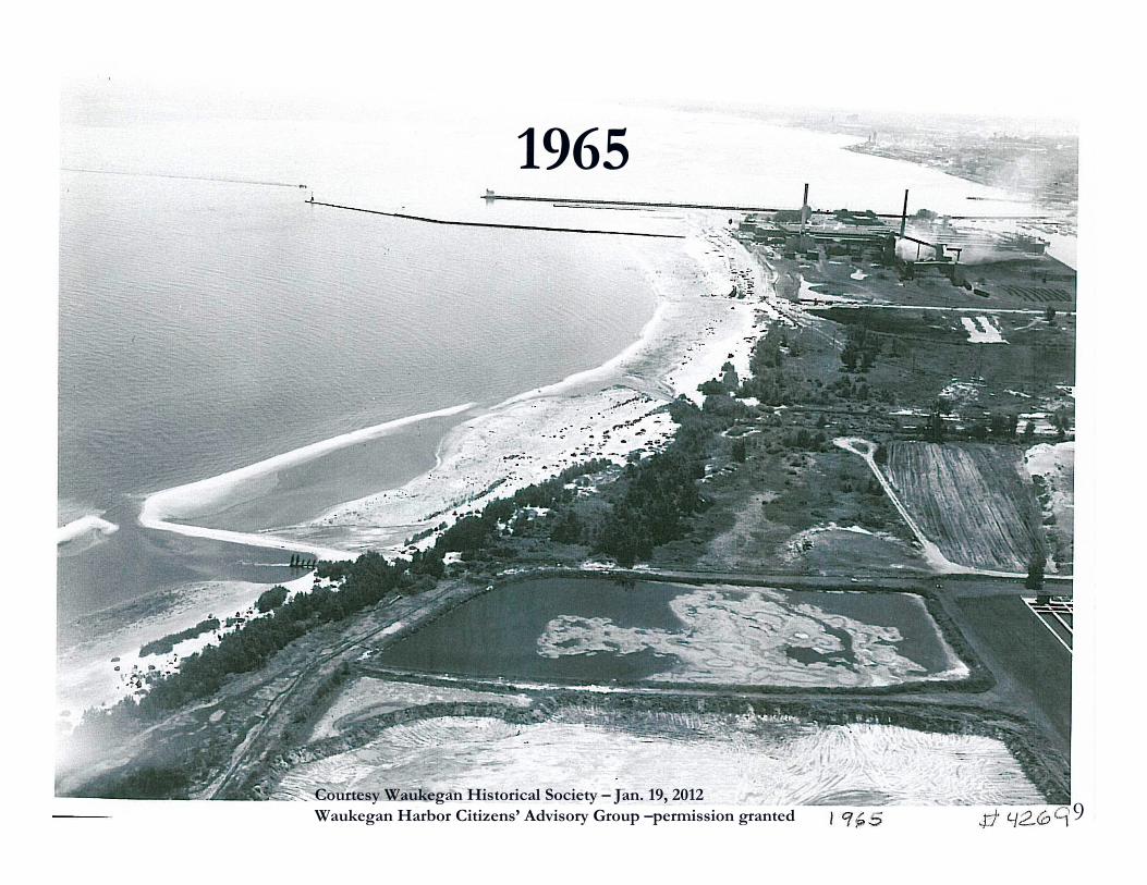
Courtesy Waukegan Historical Society – Jan. 19, 2012
Waukegan Harbor Citizens’ Advisory Group –permission granted
1965
9
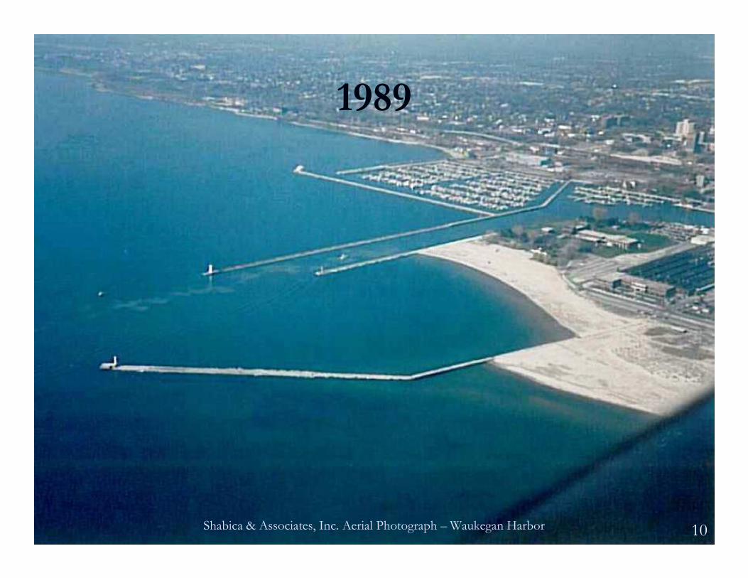
1989
Shabica & Associates, Inc. Aerial Photograph – Waukegan Harbor 10
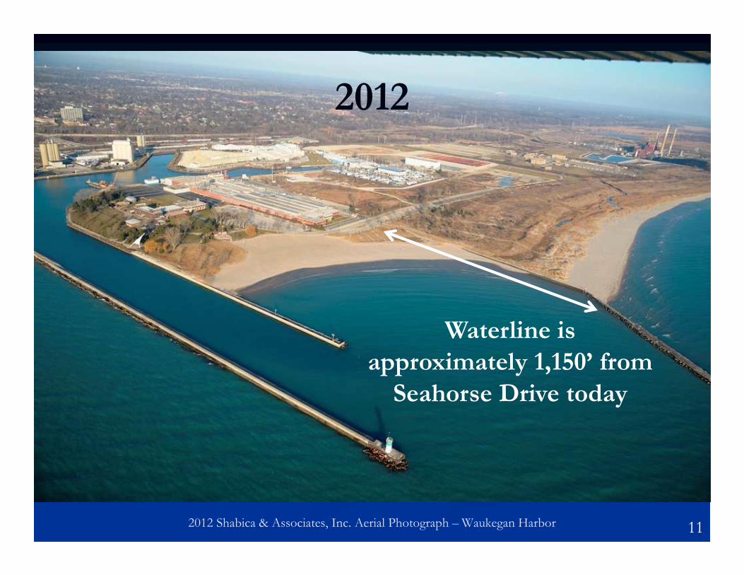
2012 Shabica & Associates, Inc. Aerial Photograph – Waukegan Harbor
Waterline is
approximately 1,150’ from
Seahorse Drive today
2012
11
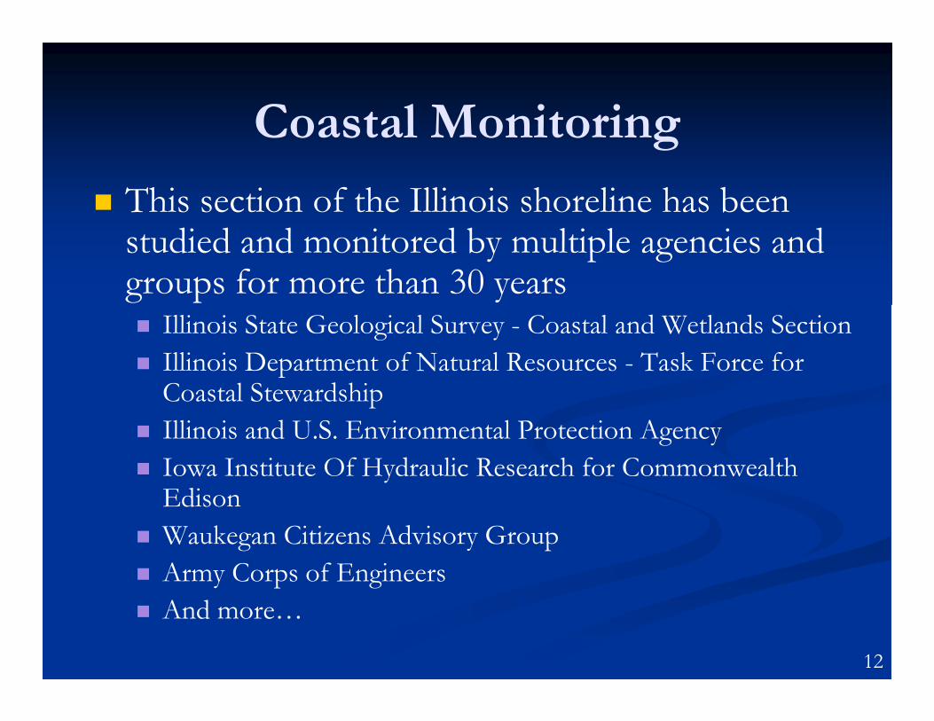
Coastal Monitoring
� This section of the Illinois shoreline has been studied and monitored by multiple agencies and groups for more than 30 years� Illinois State Geological Survey - Coastal and Wetlands Section
� Illinois Department of Natural Resources - Task Force for Coastal Stewardship
� Illinois and U.S. Environmental Protection Agency
� Iowa Institute Of Hydraulic Research for Commonwealth Edison
� Waukegan Citizens Advisory Group
� Army Corps of Engineers
� And more…
12
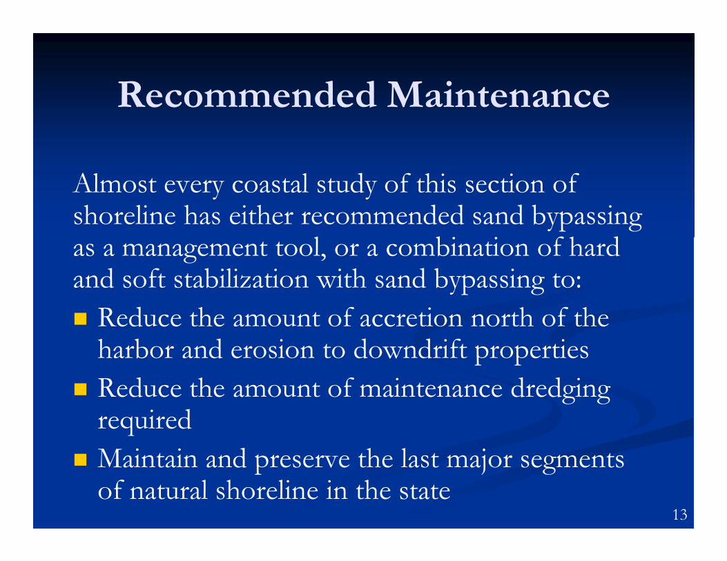
Recommended Maintenance
Almost every coastal study of this section of shoreline has either recommended sand bypassing as a management tool, or a combination of hard and soft stabilization with sand bypassing to:
� Reduce the amount of accretion north of the harbor and erosion to downdrift properties
� Reduce the amount of maintenance dredging required
� Maintain and preserve the last major segments of natural shoreline in the state
13
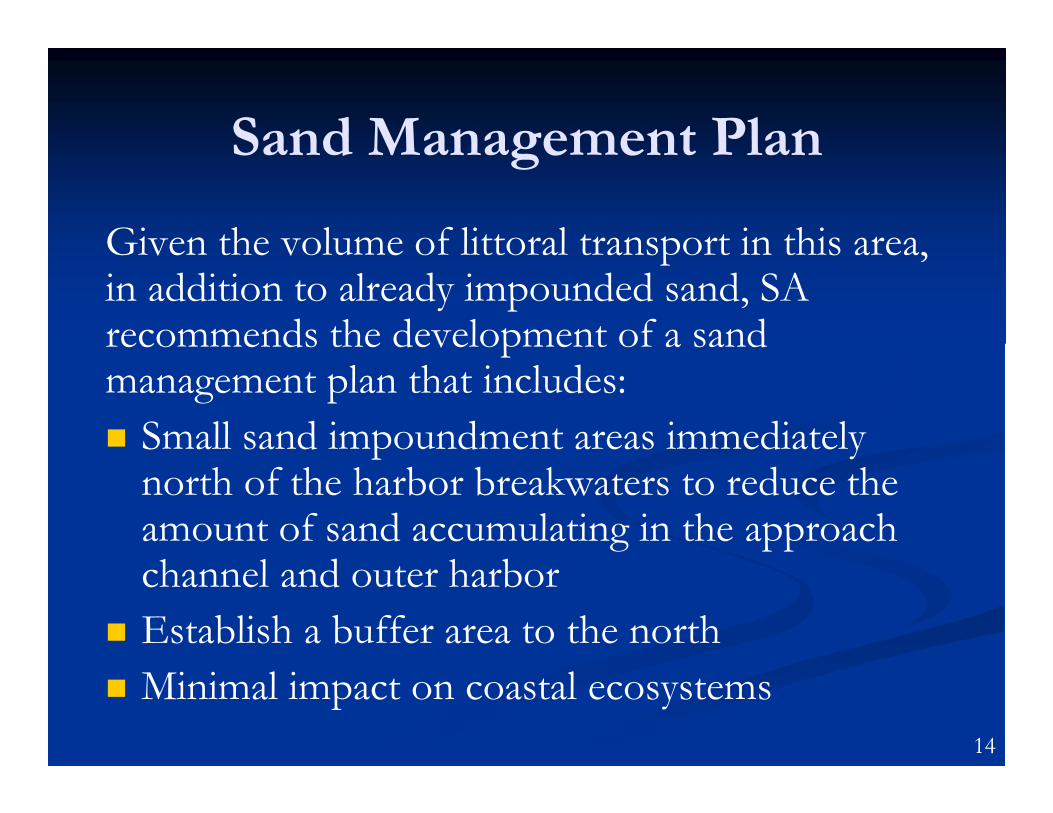
Sand Management Plan
Given the volume of littoral transport in this area, in addition to already impounded sand, SA recommends the development of a sand management plan that includes:
� Small sand impoundment areas immediately north of the harbor breakwaters to reduce the amount of sand accumulating in the approach channel and outer harbor
� Establish a buffer area to the north
� Minimal impact on coastal ecosystems
14
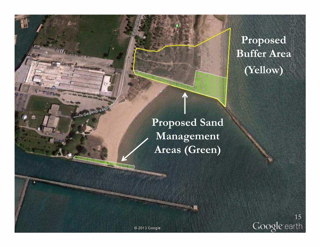
Proposed
Buffer Area
(Yellow)
Proposed Sand
Management
Areas (Green)
15
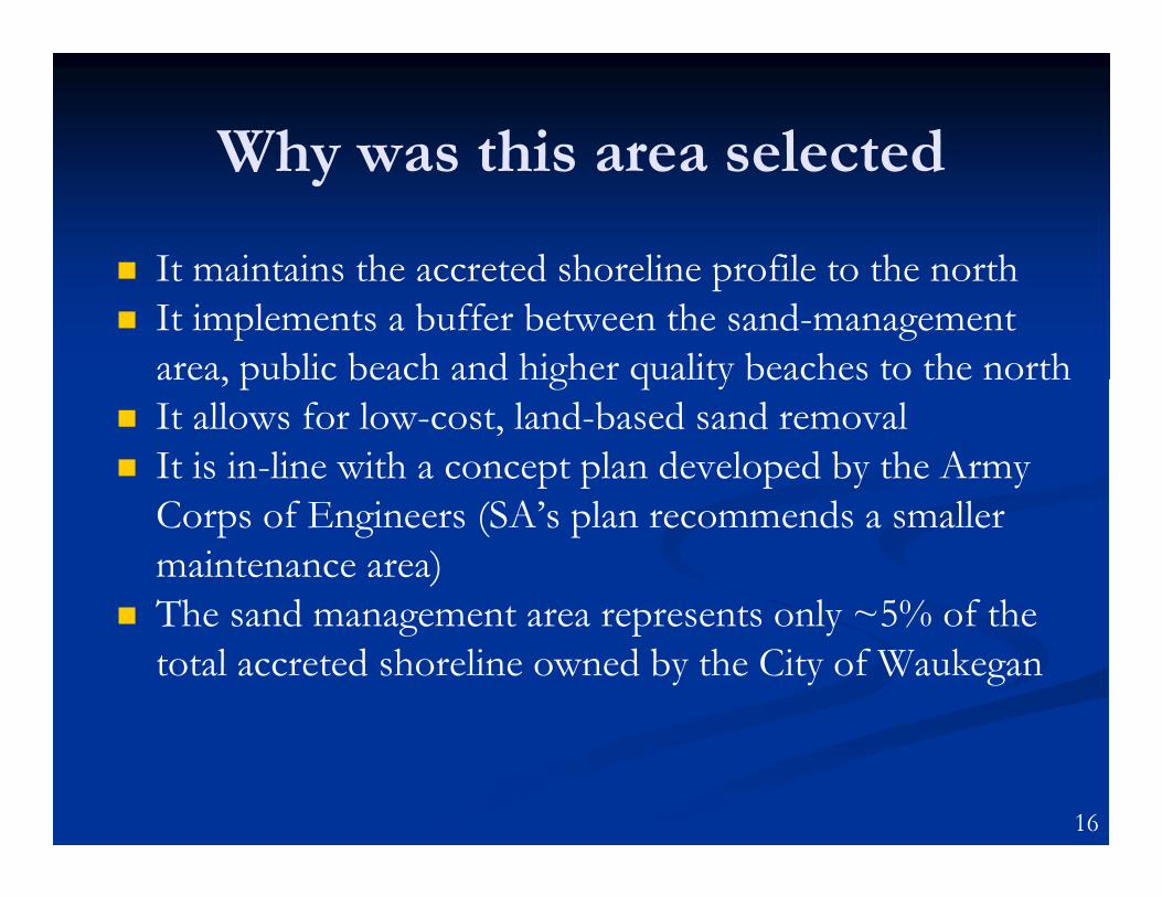
Why was this area selected
� It maintains the accreted shoreline profile to the north
� It implements a buffer between the sand-management
area, public beach and higher quality beaches to the north
� It allows for low-cost, land-based sand removal
� It is in-line with a concept plan developed by the Army
Corps of Engineers (SA’s plan recommends a smaller
maintenance area)
� The sand management area represents only ~5% of the
total accreted shoreline owned by the City of Waukegan
16
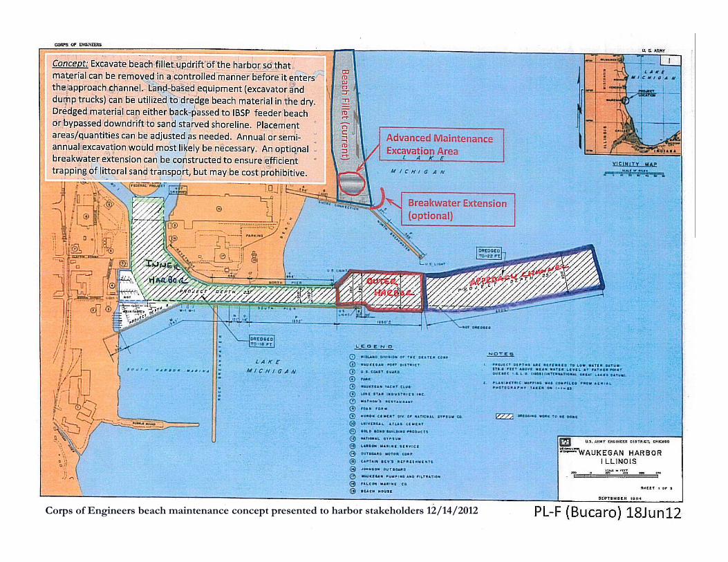
Corps of Engineers beach maintenance concept presented to harbor stakeholders 12/14/2012
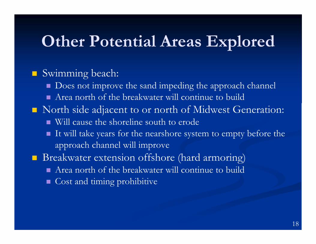
Other Potential Areas Explored
� Swimming beach:� Does not improve the sand impeding the approach channel
� Area north of the breakwater will continue to build
� North side adjacent to or north of Midwest Generation:� Will cause the shoreline south to erode
� It will take years for the nearshore system to empty before the
approach channel will improve
� Breakwater extension offshore (hard armoring)� Area north of the breakwater will continue to build
� Cost and timing prohibitive
18
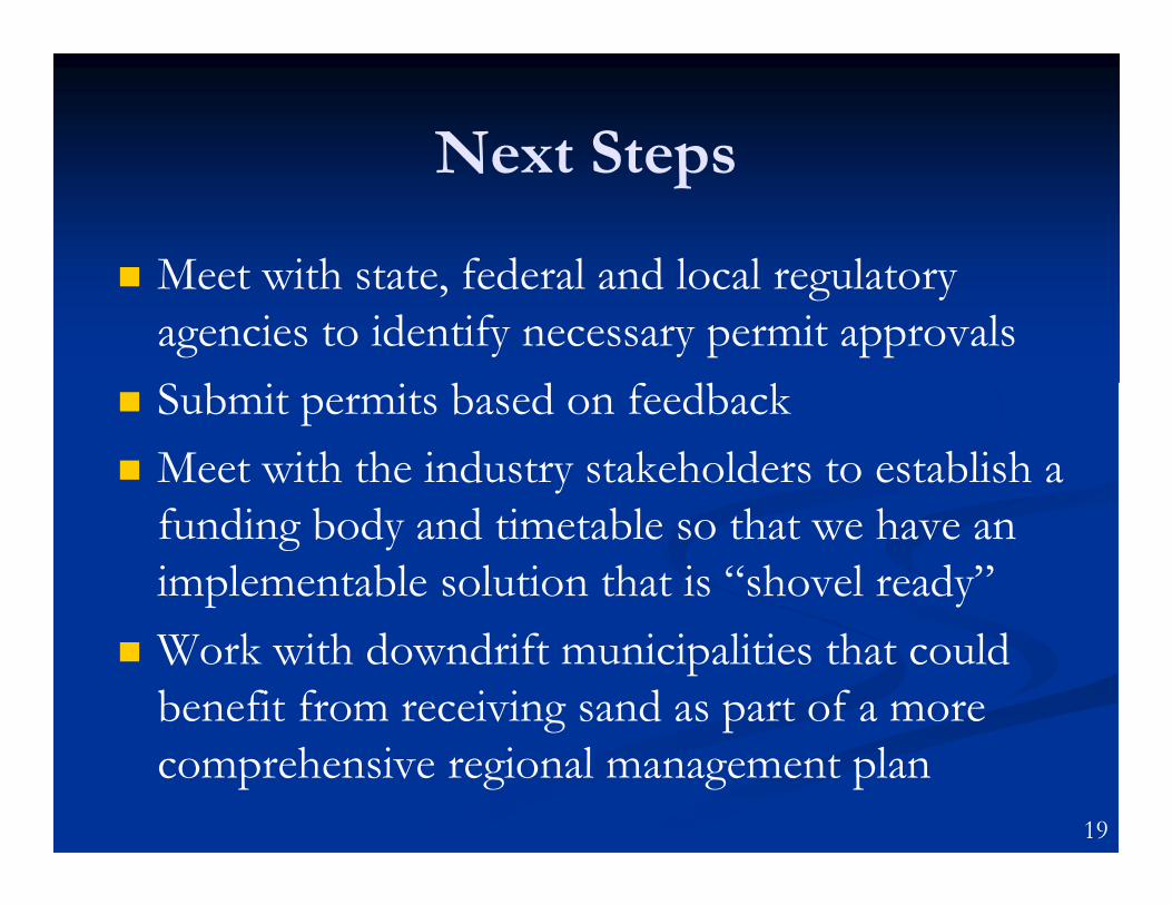
Next Steps
� Meet with state, federal and local regulatory
agencies to identify necessary permit approvals
� Submit permits based on feedback
� Meet with the industry stakeholders to establish a
funding body and timetable so that we have an
implementable solution that is “shovel ready”
� Work with downdrift municipalities that could
benefit from receiving sand as part of a more
comprehensive regional management plan
19
Questions?
Shabica & Associates, Inc.
Sustainable Coastal Solutions
550 Frontage Road, Suite 3735Northfield, IL [email protected]