Embed Size (px)
Citation preview
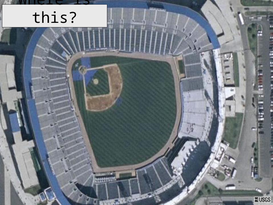
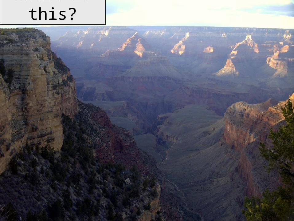
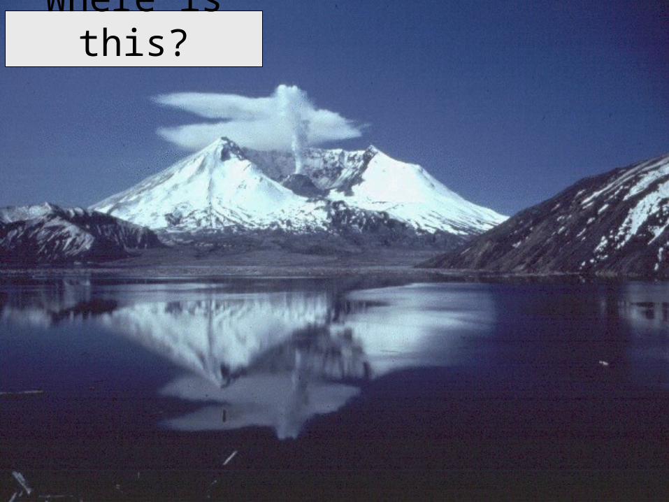
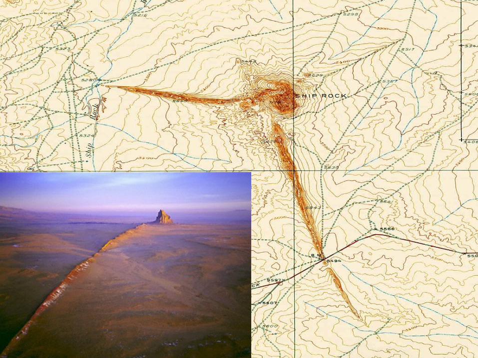
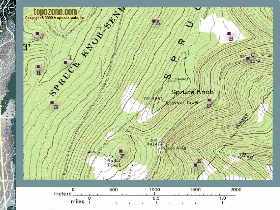
Where is this?
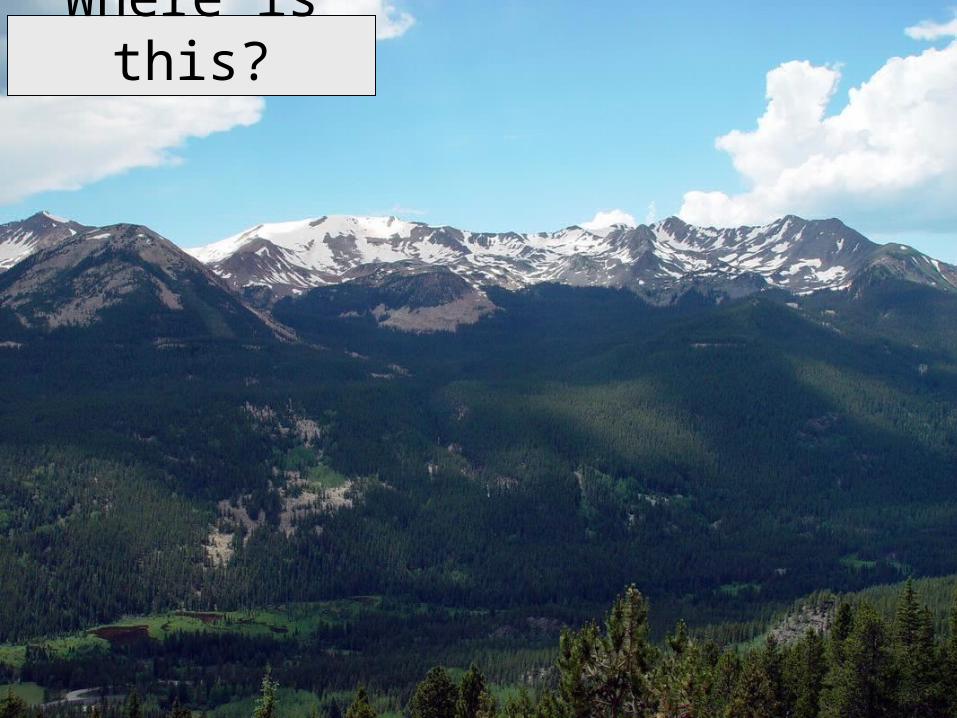
Where is this?
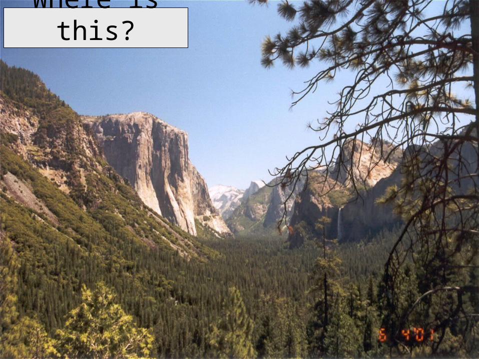
Where is this?
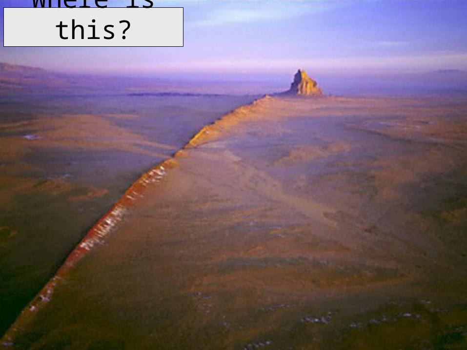
Where is this?
Where is this?
Where is this?
Where is this?
Where is this?
Where is this?
Where is this?
How would you represent these, or any other landform, on a map?
In other words, is it possible to show a three dimensional object on a two dimensional piece of paper?
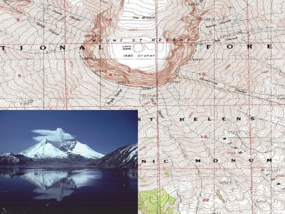
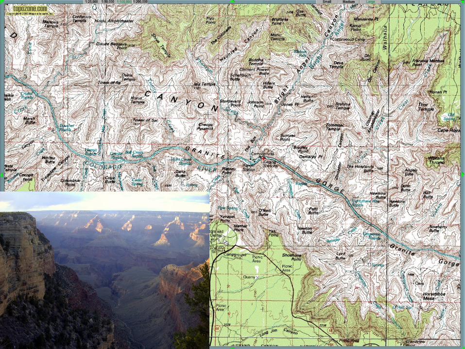
Topographic Maps
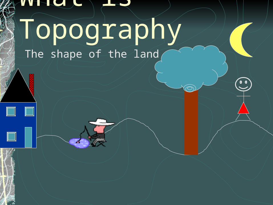
What is Topography The shape of the land
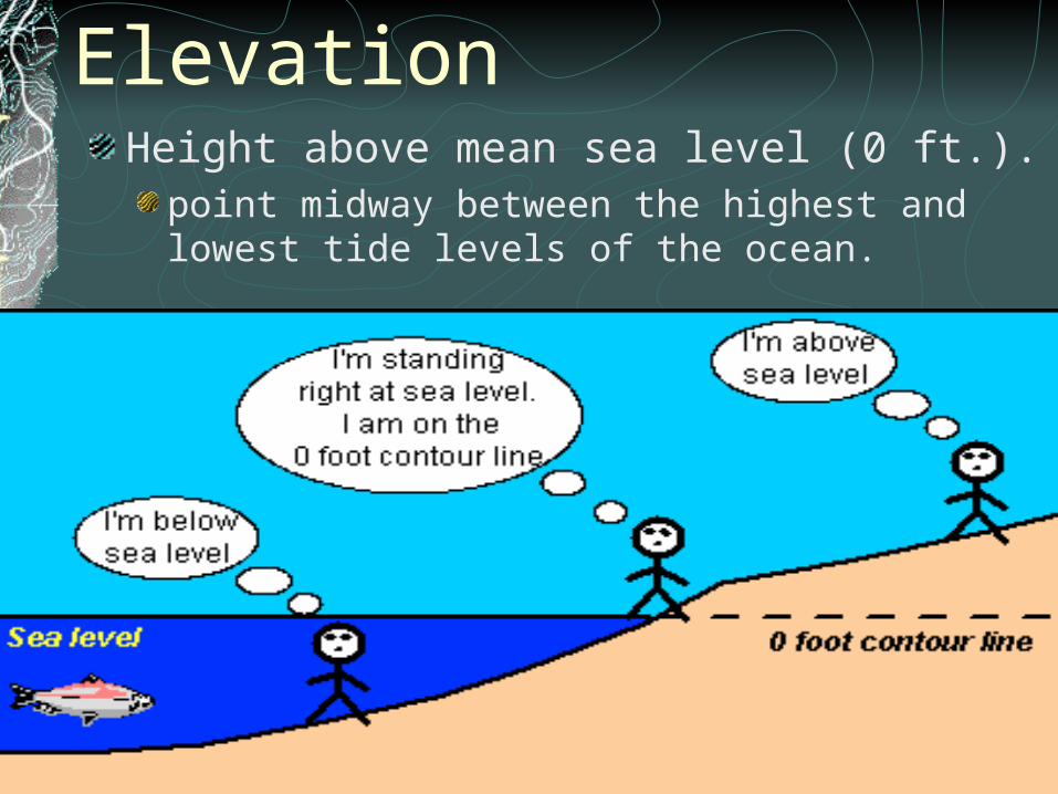
ElevationHeight above mean sea level (0 ft.).
point midway between the highest and lowest tide levels of the ocean.
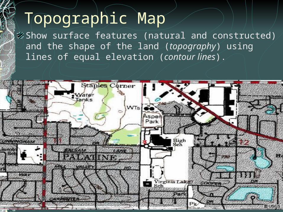
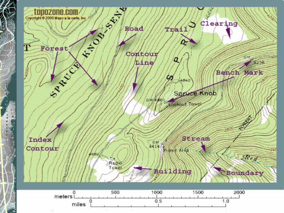
Topographic MapShow surface features (natural and constructed) and the shape of the land (topography) using lines of equal elevation (contour lines).
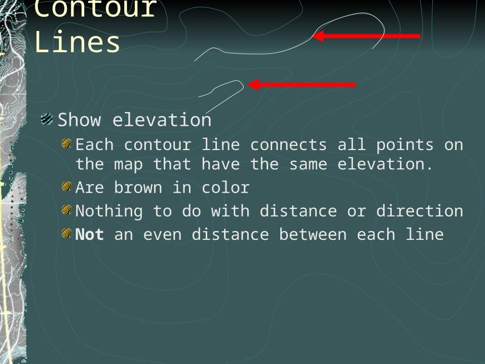
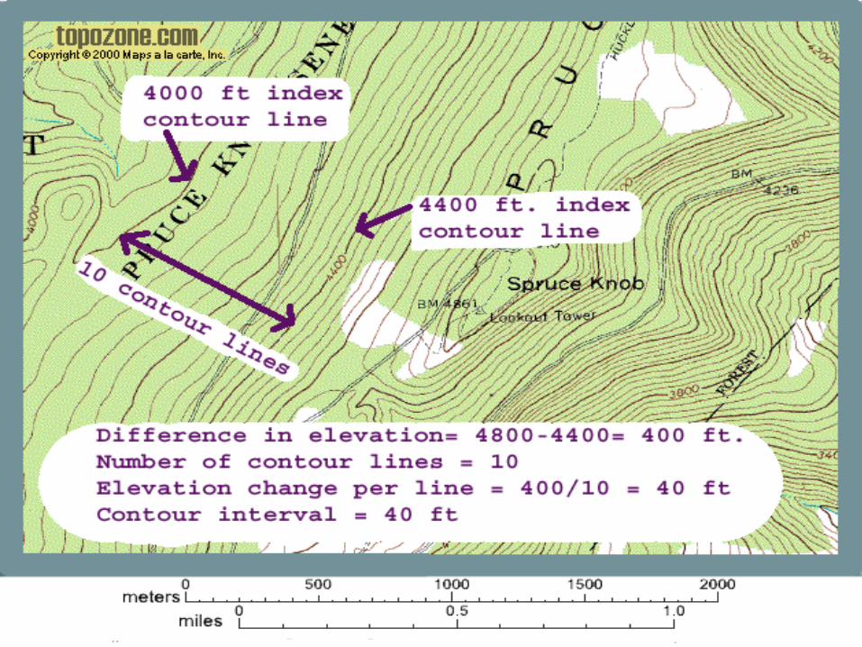
Contour Lines
Show elevation Each contour line connects all points on the map that have the same elevation.Are brown in colorNothing to do with distance or directionNot an even distance between each line
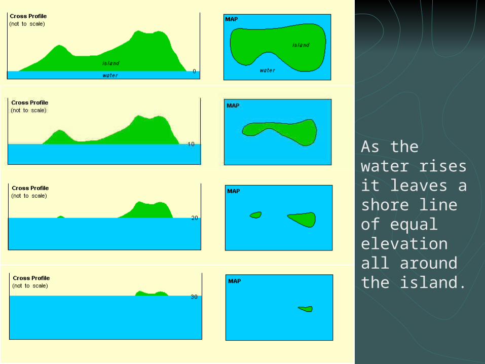
As the water rises it leaves a shore line of equal elevation all around the island.
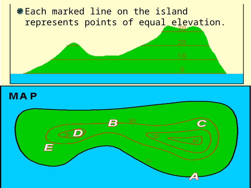
Each marked line on the island represents points of equal elevation.
Examples
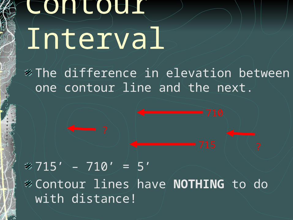
Contour IntervalThe difference in elevation between one contour line and the next.
715’ – 710’ = 5’Contour lines have NOTHING to do with distance!
710
715
? ?
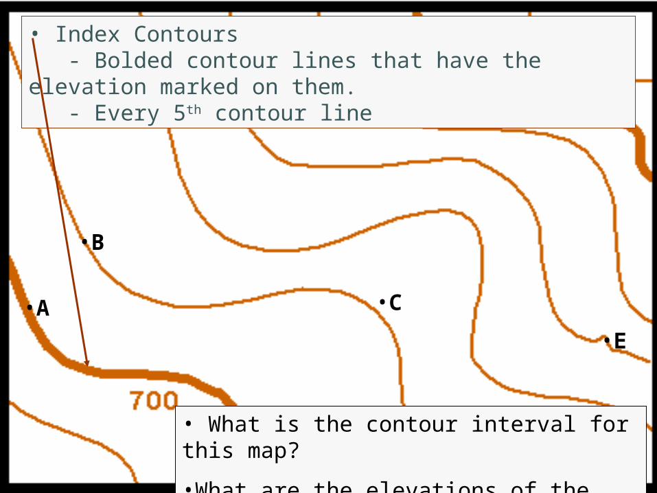
•A
•E
•F
•D
•C
•B
•G
• What is the contour interval for this map?
•What are the elevations of the marked points?
• Index Contours - Bolded contour lines that have the elevation marked on them. - Every 5th contour line
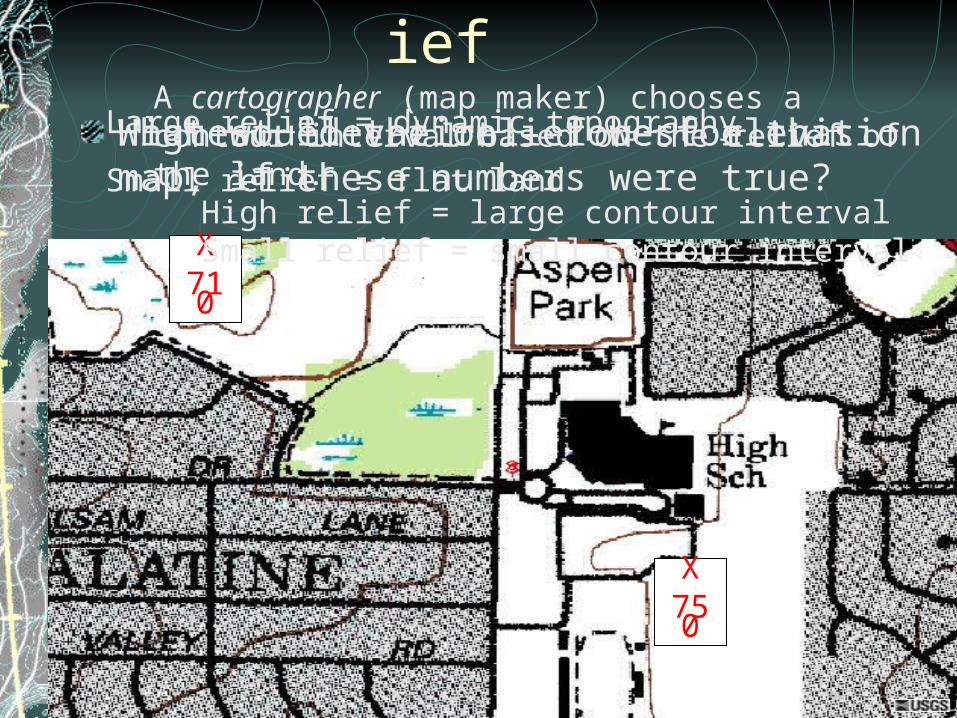
ReliefHighest elevation – lowest elevation
X750
X710
What would the relief be for this map, if these numbers were true?
Large relief = dynamic topography
Small relief = flat land
A cartographer (map maker) chooses a contour interval based on the relief of the land.
High relief = large contour intervalSmall relief = small contour interval
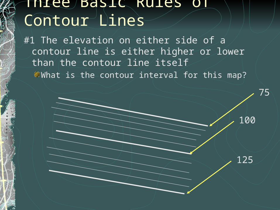
Three Basic Rules of Contour Lines#1 The elevation on either side of a contour line is
either higher or lower than the contour line itselfWhat is the contour interval for this map?
100
125
75
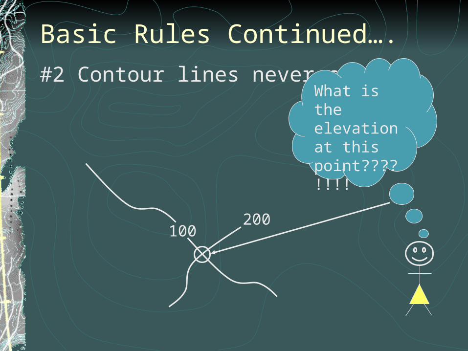
Basic Rules Continued….#2 Contour lines never cross
100200
What is the elevation at this point????!!!!
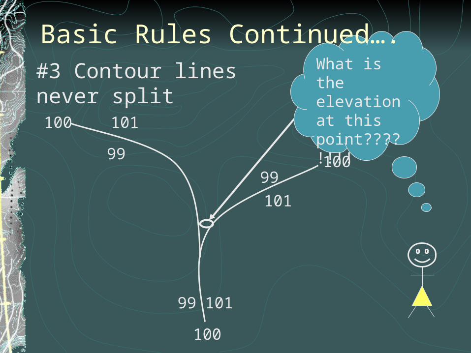
100
100
100
99
99
101
101
101
99
What is the elevation at this point????!!!!
#3 Contour lines never split
Basic Rules Continued….
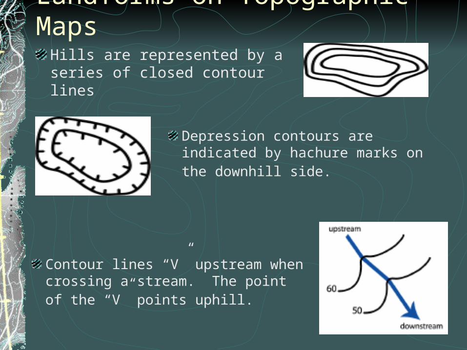
Landforms on Topographic MapsHills are represented by a series of closed contour lines
Depression contours are indicated by hachure marks on the downhill side.
Contour lines “V” upstream when crossing a stream. The point of the “V” points uphill.
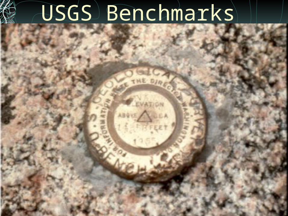
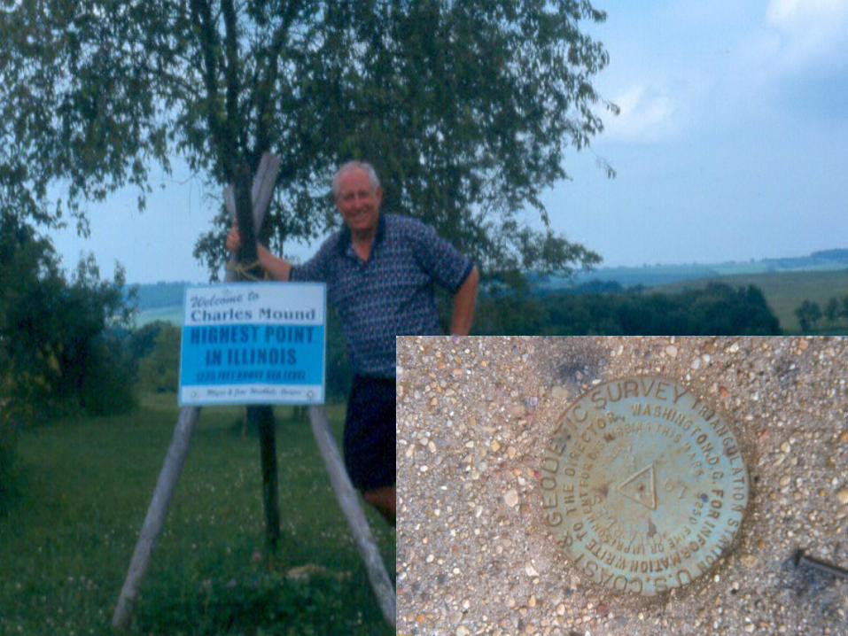
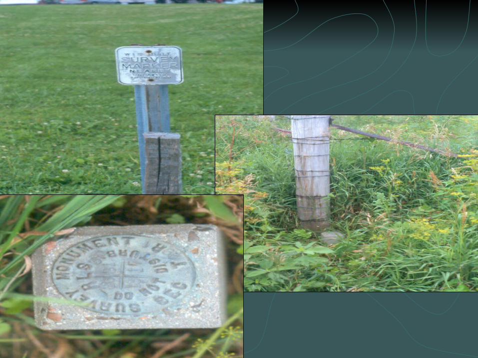
USGS Benchmarks
Gradient
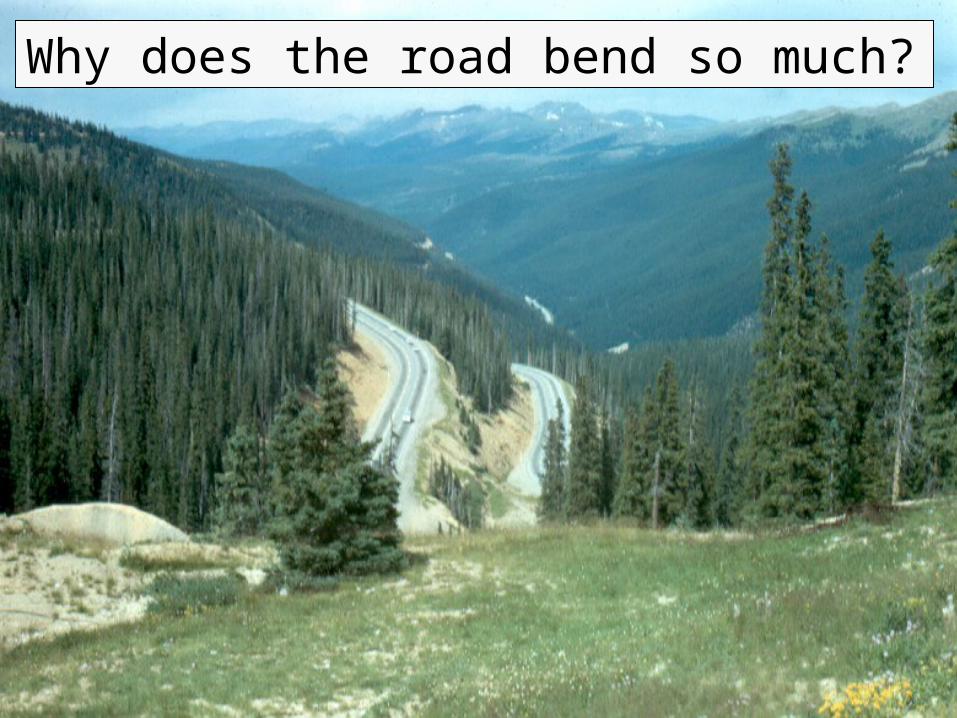
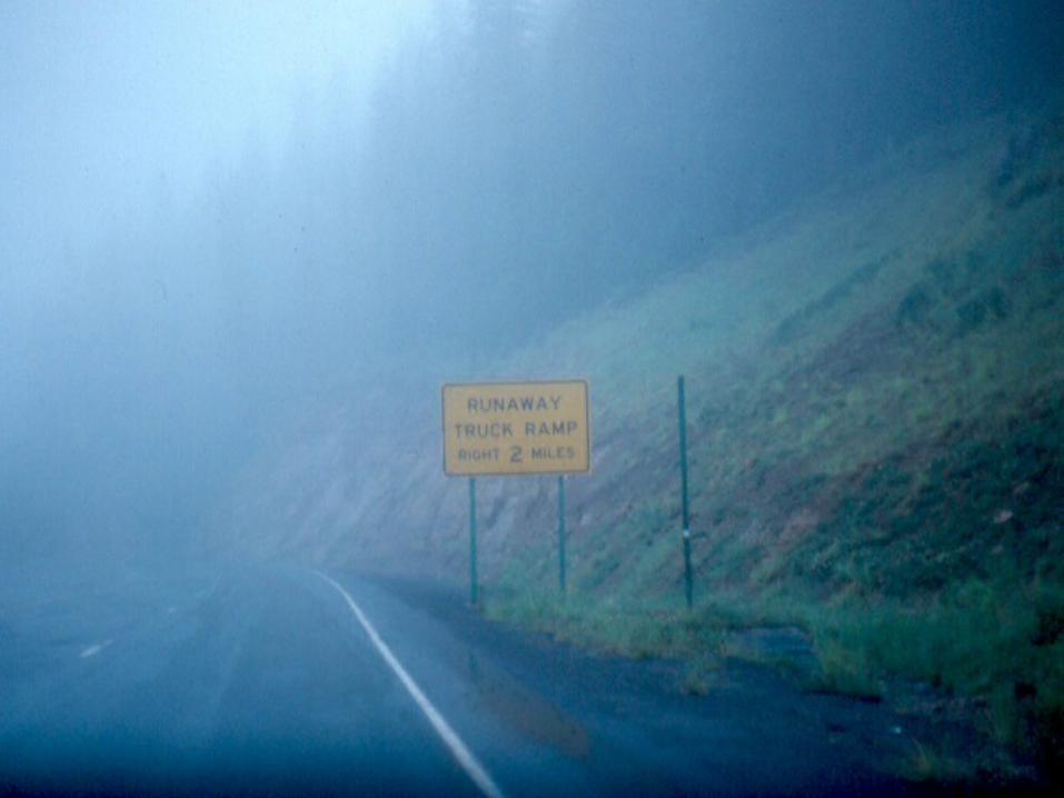
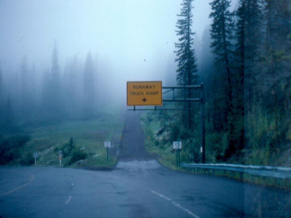
Why does the road bend so much?
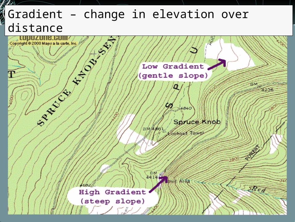
Gradient – change in elevation over distance