© 2011 Autodesk
3-in-1 Stream Restoration Using AutoCAD® Civil 3D®, Map 3D, and Autodesk® Storm and Sanitary Analysis
Heather NagelApplication Engineer

© 2011 Autodesk
Class Summary
This class will explain how Civil 3D® and the new Storm and Sanitary application help with the design and evaluation of natural channels and stormwater management facilities. Attendees will learn how to import and integrate GIS data into AutoCAD® Map 3D, create custom assemblies in Civil 3D® for natural channel design, and develop existing and post-development hydrology in Storm and Sanitary Analysis.

© 2011 Autodesk
3-in-1 Stream Restoration AutoCAD® Civil 3D® AutoCAD® Map 3D
Autodesk® Storm and Sanitary Analysis
4-in-1 Stream Restoration
AutoCAD® Civil 3D® AutoCAD® Map 3D
Autodesk® Storm and Sanitary Analysis
River Analysis

© 2011 Autodesk
Learning Objectives
At the end of this class, you will be able to:
Develop a workflow for stream restoration Identify constraints and provide preliminary site assessments using Map 3D Utilize Storm and Sanitary Analysis to determine impacts on bankfull and flood
discharges Evaluate stream corridor design scenarios Utilize River Analysis to determine cross sections and HEC RAS analysis
(Bonus Material)
© 2011 Autodesk
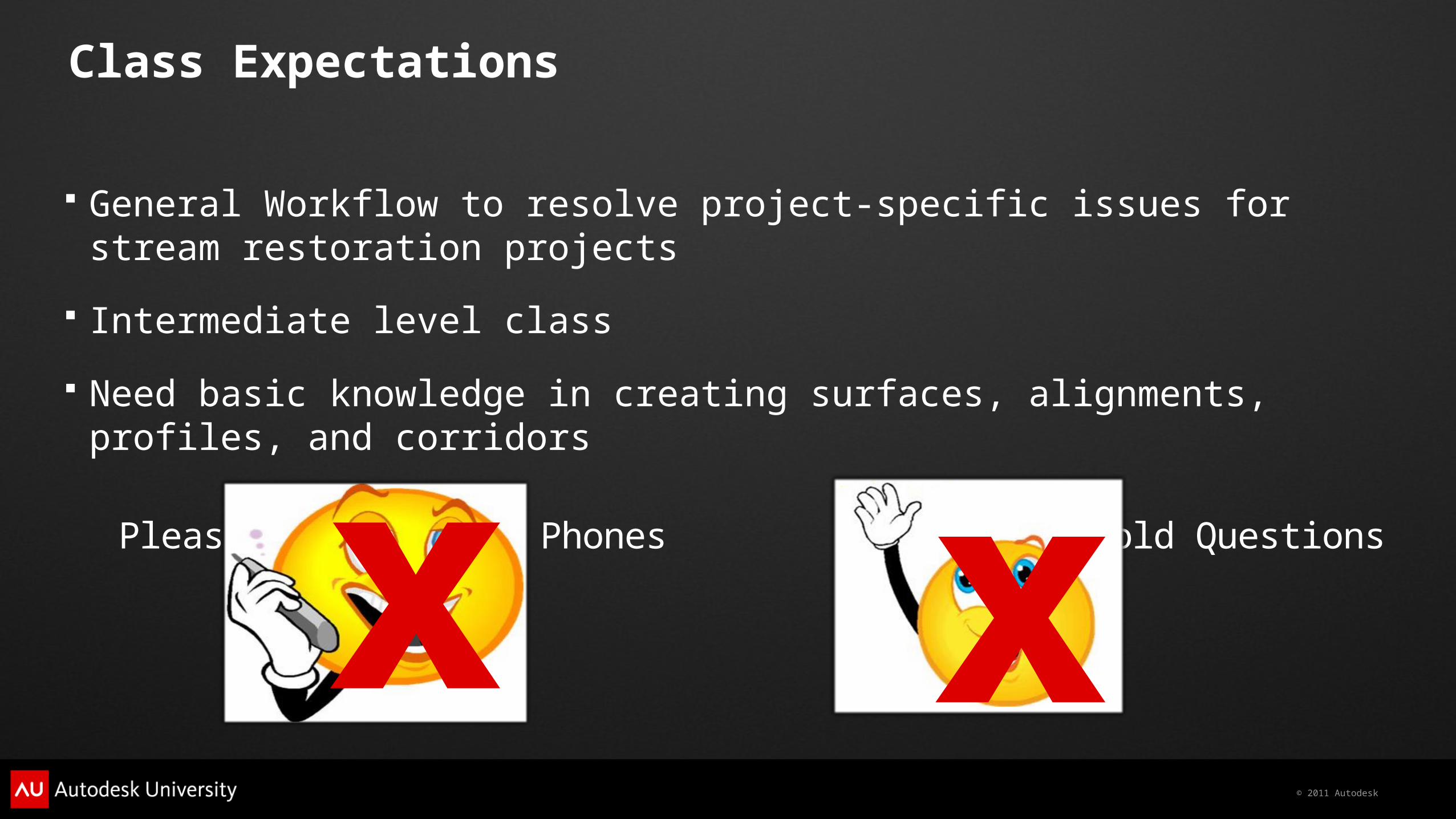
Class Expectations
General Workflow to resolve project-specific issues for stream restoration projects
Intermediate level class
Need basic knowledge in creating surfaces, alignments, profiles, and corridors
Please Silence Cell Phones Please Hold Questions
x x

© 2011 Autodesk
Importance of Stream Restoration in the 21st Century
“At no other time in the history of modern man have the cumulative impacts associated with development along the river had a greater impact on water resource values.”
Dave Rosgen, Applied River Morphology
© 2011 Autodesk
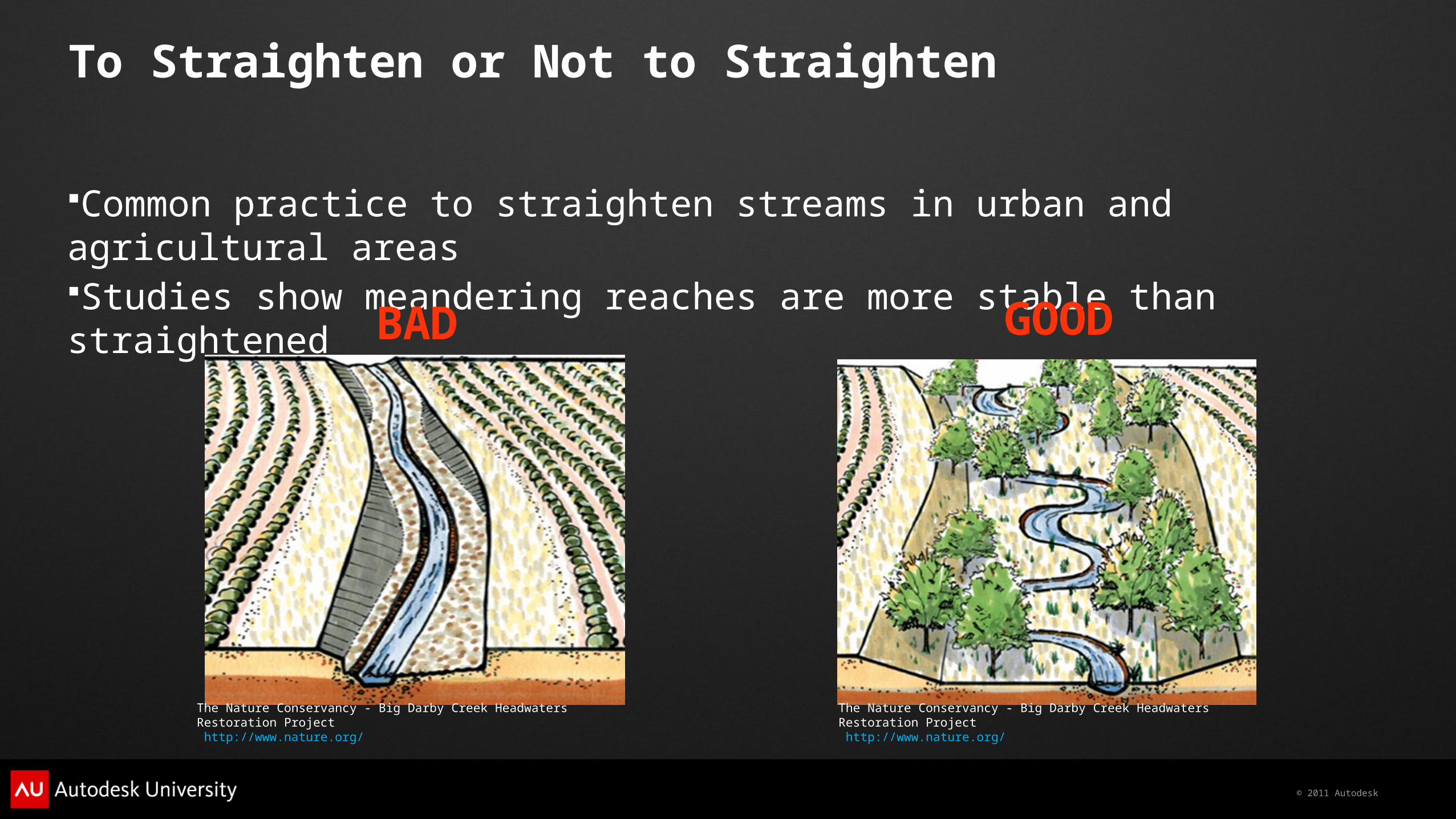
To Straighten or Not to Straighten
Common practice to straighten streams in urban and agricultural areas Studies show meandering reaches are more stable than straightened
The Nature Conservancy - Big Darby Creek Headwaters Restoration Project http://www.nature.org/
The Nature Conservancy - Big Darby Creek Headwaters Restoration Project http://www.nature.org/
GOODBAD

© 2011 Autodesk
4 in 1 Workflow for Streams
Build BasemapBuild Existing DataRun Existing Hydrological and Hydraulical AnalysisCreate Proposed DesignRun Proposed AnalysisCompare Data Modify Design and Repeat Steps as needed
© 2011 Autodesk
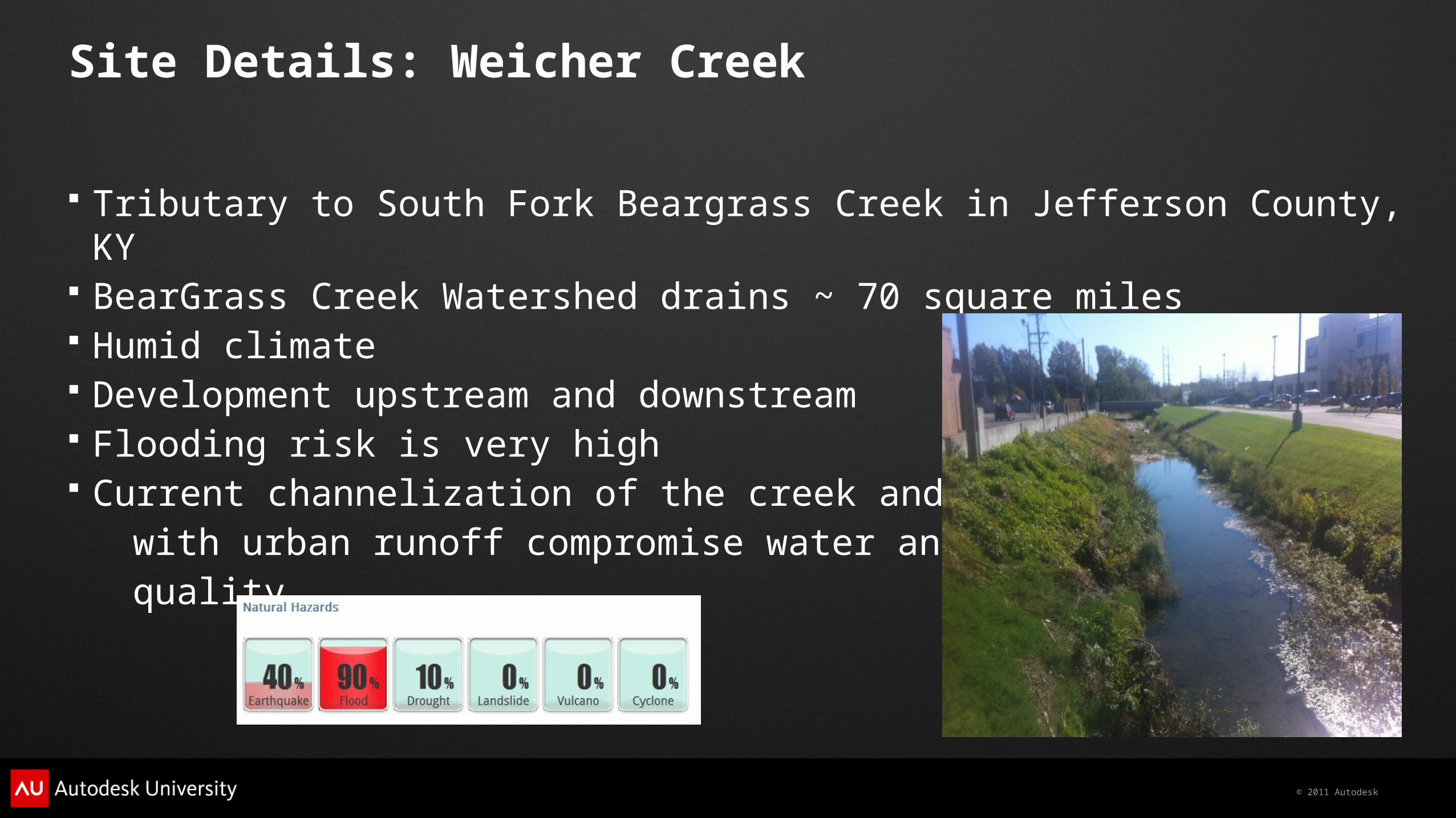
Site Details: Weicher Creek
Tributary to South Fork Beargrass Creek in Jefferson County, KY BearGrass Creek Watershed drains ~ 70 square miles Humid climate Development upstream and downstream Flooding risk is very high Current channelization of the creek and problems with urban runoff compromise water and habitat quality.

© 2011 Autodesk
Using GIS to its MAX
Aerial Imagery Topographic Maps Dem Surfaces FEMA data Soil Data Land Use Data Parcel Data Stream Data (if available) Precipitation Data (if available)
www.nationalatlas.gov

© 2011 Autodesk
AutoCAD® Map 3D Demo
© 2011 Autodesk
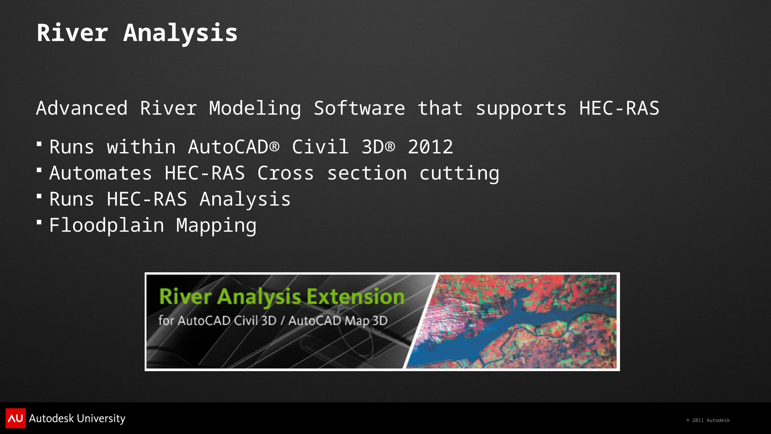
River Analysis
Advanced River Modeling Software that supports HEC-RAS
Runs within AutoCAD® Civil 3D® 2012 Automates HEC-RAS Cross section cutting Runs HEC-RAS Analysis Floodplain Mapping

© 2011 Autodesk
Existing HEC-RAS Analysis
Steps for HEC-RAS Analysis:
Draw stream centerline and bankfull lines as polylines Create sections Enter downstream flows Choose Manning’s coefficient Compute analysis
© 2011 Autodesk
River Analysis Demo

© 2011 Autodesk
Autodesk® Storm and Sanitary Analysis and Peak Flow
Advanced, powerful, and comprehensive modeling package for analyzing and designing urban drainage systems, stormwater sewers, and sanitary sewers
Steps for determining Peak Flow:
Create Subbasins Add Nodes and Links Add a Rain Gage Choose Analysis Options Run Analysis Review Results

© 2011 Autodesk
Autodesk® Storm and Sanitary Analysis Demo
© 2011 Autodesk
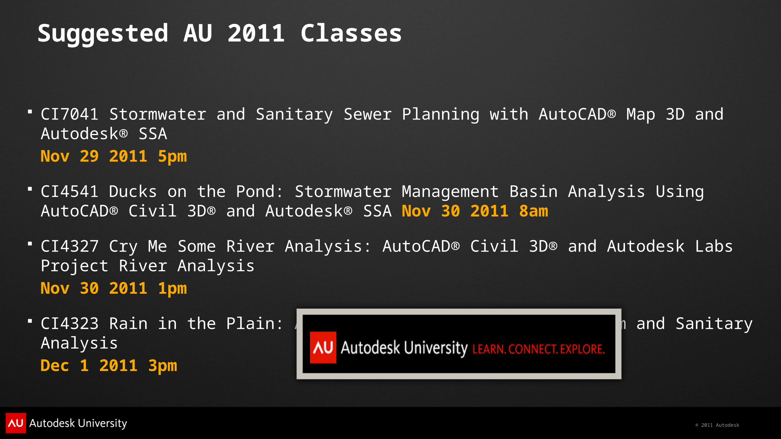
Suggested AU 2011 Classes
CI7041 Stormwater and Sanitary Sewer Planning with AutoCAD® Map 3D and Autodesk® SSANov 29 2011 5pm
CI4541 Ducks on the Pond: Stormwater Management Basin Analysis Using AutoCAD® Civil 3D® and Autodesk® SSA Nov 30 2011 8am
CI4327 Cry Me Some River Analysis: AutoCAD® Civil 3D® and Autodesk Labs Project River AnalysisNov 30 2011 1pm
CI4323 Rain in the Plain: An Introduction to Autodesk® Storm and Sanitary Analysis Dec 1 2011 3pm
© 2011 Autodesk
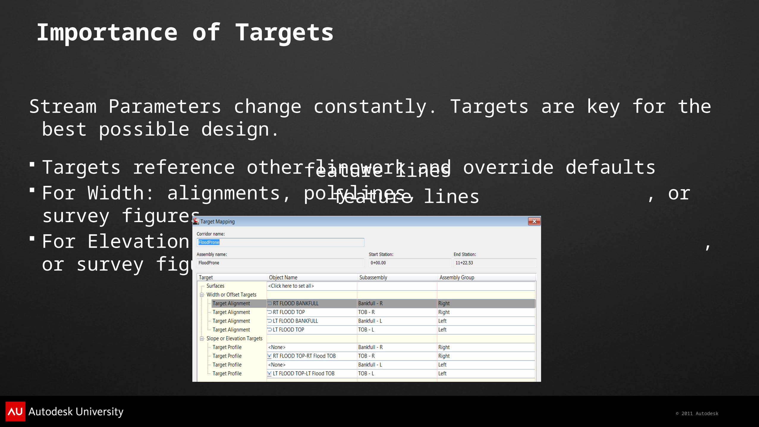
Importance of Targets
Stream Parameters change constantly. Targets are key for the best possible design.
Targets reference other linework and override defaults For Width: alignments, polylines, , or survey figures For Elevation: profiles, 3D polylines, , or survey figures
feature linesfeature lines
© 2011 Autodesk
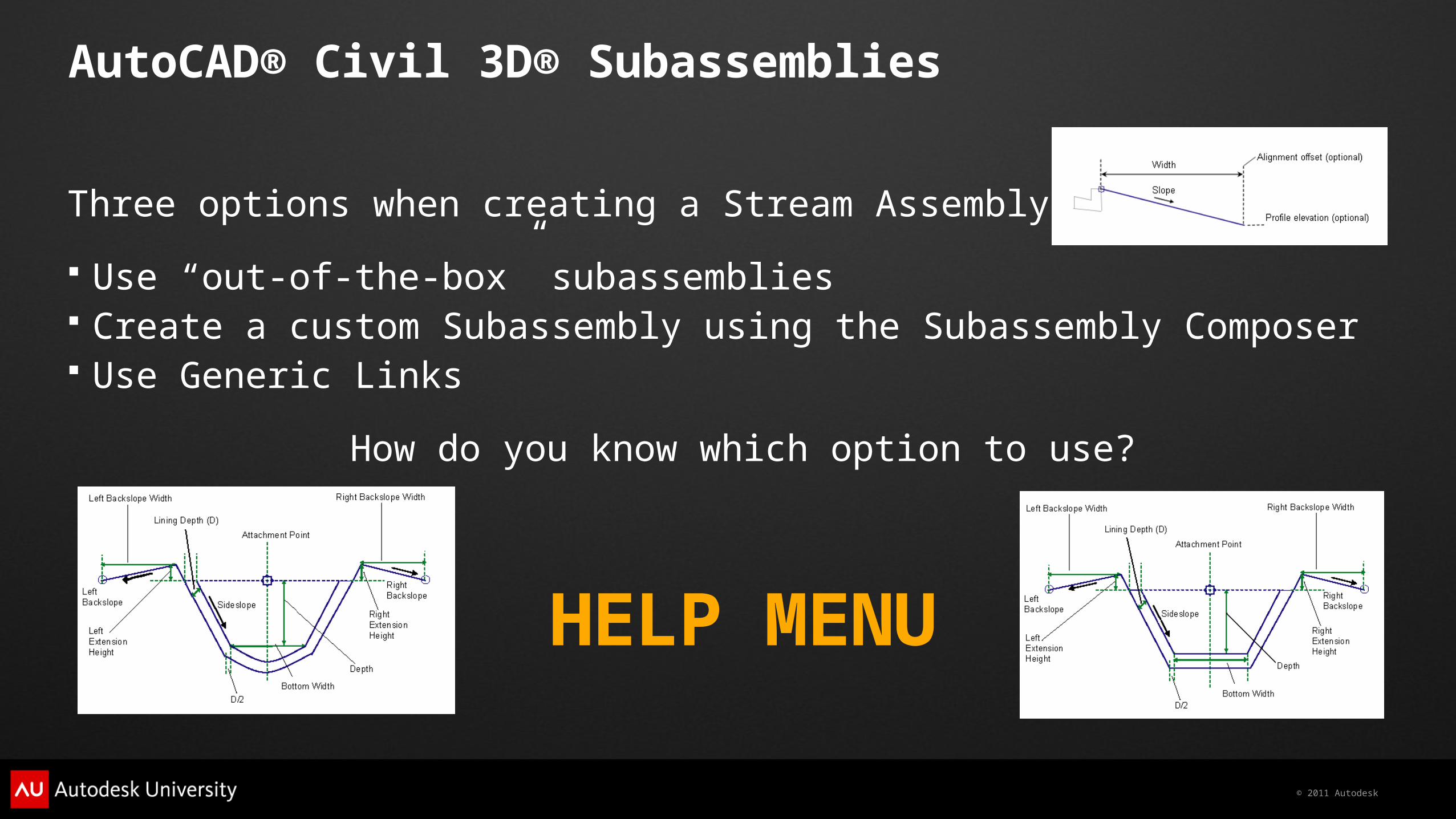
AutoCAD® Civil 3D® Subassemblies
Three options when creating a Stream Assembly
Use “out-of-the-box” subassemblies Create a custom Subassembly using the Subassembly Composer Use Generic Links
How do you know which option to use?
HELP MENU
© 2011 Autodesk
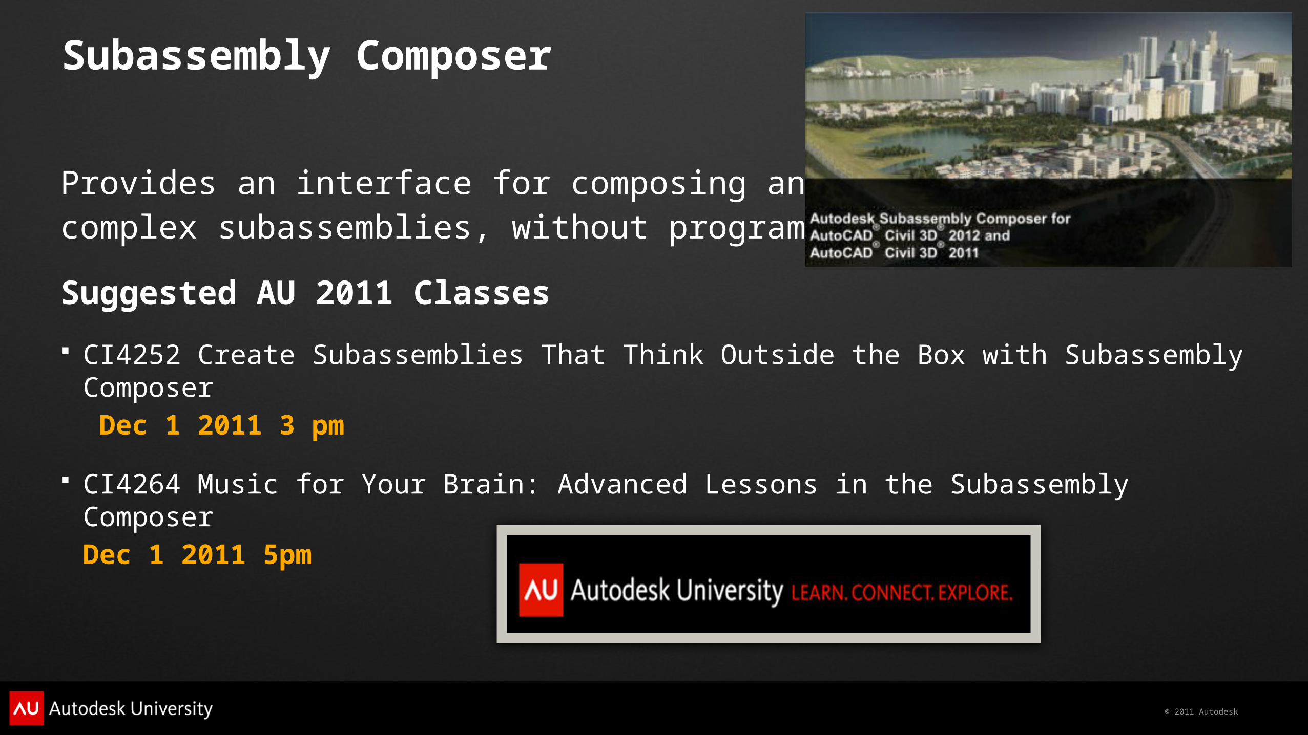
Subassembly Composer
Provides an interface for composing and modifying complex subassemblies, without programming
Suggested AU 2011 Classes
CI4252 Create Subassemblies That Think Outside the Box with Subassembly Composer Dec 1 2011 3 pm
CI4264 Music for Your Brain: Advanced Lessons in the Subassembly Composer Dec 1 2011 5pm
© 2011 Autodesk
AutoCAD® Civil 3D® Demo
© 2011 Autodesk
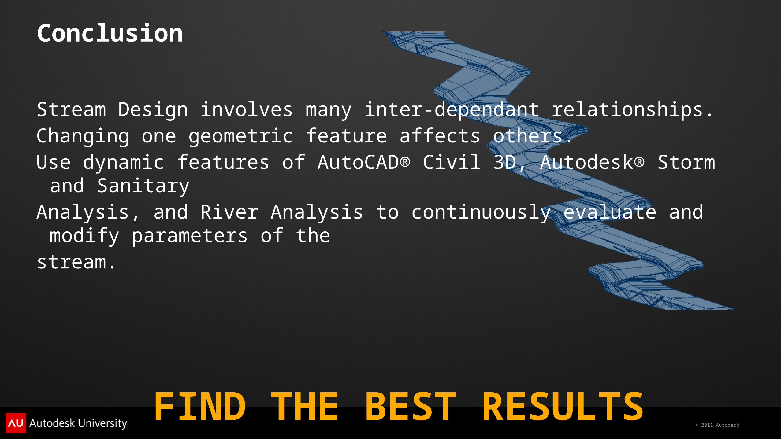
Conclusion
Stream Design involves many inter-dependant relationships. Changing one geometric feature affects others. Use dynamic features of AutoCAD® Civil 3D, Autodesk® Storm and Sanitary Analysis, and River Analysis to continuously evaluate and modify parameters of the stream.
FIND THE BEST RESULTS

© 2011 Autodesk
Autodesk, AutoCAD* [*if/when mentioned in the pertinent material, followed by an alphabetical list of all other trademarks mentioned in the material] are registered trademarks or trademarks of Autodesk, Inc., and/or its subsidiaries and/or affiliates in the USA and/or other countries. All other brand names, product names, or trademarks belong to their respective holders. Autodesk reserves the right to alter product and services offerings, and specifications and pricing at any time without notice, and is not responsible for typographical or graphical errors that may appear in this document. © 2011 Autodesk, Inc. All rights reserved.
Recommended