Global Spatial Data Global Spatial Data InfrastructureInfrastructure
Mark ReichardtMark [email protected]@usgs.gov
Federal Geographic Data CommitteeFederal Geographic Data Committee
GSDI Steering Group MemberGSDI Steering Group Member

SDI activities underway or planned around SDI activities underway or planned around the globethe globe– 45+ nations planning or implementing NSDI45+ nations planning or implementing NSDI– Regional organizations in Europe, Asia/Pacific, Regional organizations in Europe, Asia/Pacific,
AmericasAmericas
Survey of SDI’s Around the Survey of SDI’s Around the WorldWorld
Many differences, but may Many differences, but may common themescommon themes
Survey extended to broaden Survey extended to broaden responses and analyze responses and analyze implicationsimplicationshttp://www.spatial.maine.edu/~onsrud/GSDI.htm
Global Spatial Data Global Spatial Data InfrastructureInfrastructure
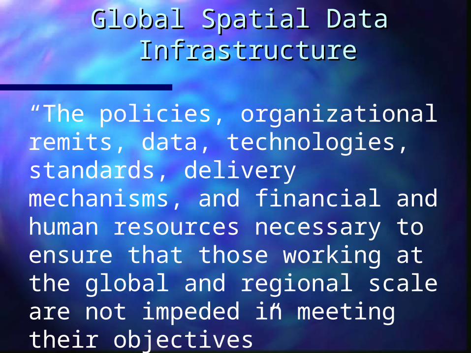
“The policies, organizational remits, data, technologies, standards, delivery mechanisms, and financial and human resources necessary to ensure that those working at the global and regional scale are not impeded in meeting their objectives”
Source: Second GSDI Conference, 1997, North Carolina USA
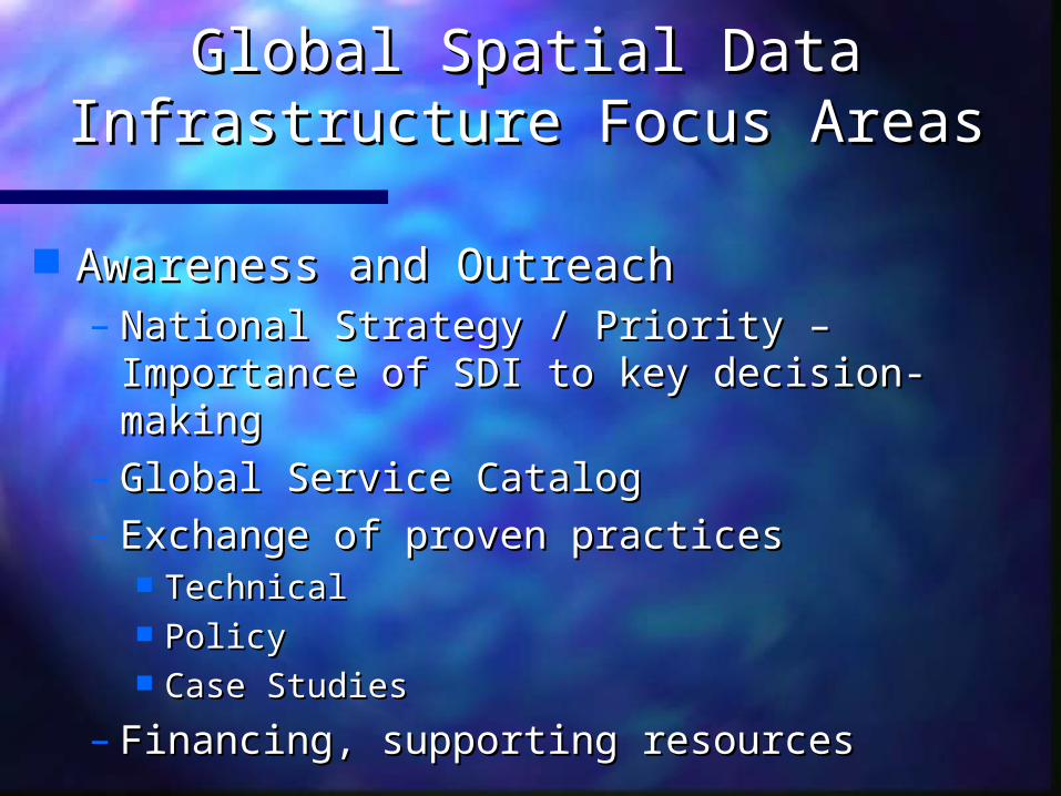
Awareness and OutreachAwareness and Outreach– National Strategy / Priority – Importance National Strategy / Priority – Importance
of SDI to key decision-makingof SDI to key decision-making– Global Service CatalogGlobal Service Catalog– Exchange of proven practicesExchange of proven practices
TechnicalTechnical PolicyPolicy Case StudiesCase Studies
– Financing, supporting resourcesFinancing, supporting resources
Global Spatial Data Global Spatial Data Infrastructure Focus AreasInfrastructure Focus Areas

Global Spatial Data Global Spatial Data InfrastructureInfrastructureFocus AreasFocus Areas
Business Case Study (2000)Business Case Study (2000) SDI Implementation Guide – internationally SDI Implementation Guide – internationally
developed document to help grow globally developed document to help grow globally compatible SDI’scompatible SDI’s
Geodata DevelopmentGeodata CatalogingVisualization, and AccessMetadata, StandardsSupporting Case StudiesOutreach and Capacity BuildingOther Services
Version1.0
Online by April 2000
www.gsdi.org

Global Spatial Data Global Spatial Data InfrastructureInfrastructureFocus AreasFocus Areas
Regional SDI ActivitiesRegional SDI Activities
– Permanent Committee on Geospatial Permanent Committee on Geospatial Infrastructure for Asia and the Pacific Infrastructure for Asia and the Pacific (PCGIAC)(PCGIAC)
– European Umbrella Organization for European Umbrella Organization for Geographic Information (EUROGI)Geographic Information (EUROGI)
– Permanent Committee of the Americas Permanent Committee of the Americas February 2000February 2000
Global Spatial Data Global Spatial Data Infrastructure Focus AreasInfrastructure Focus Areas
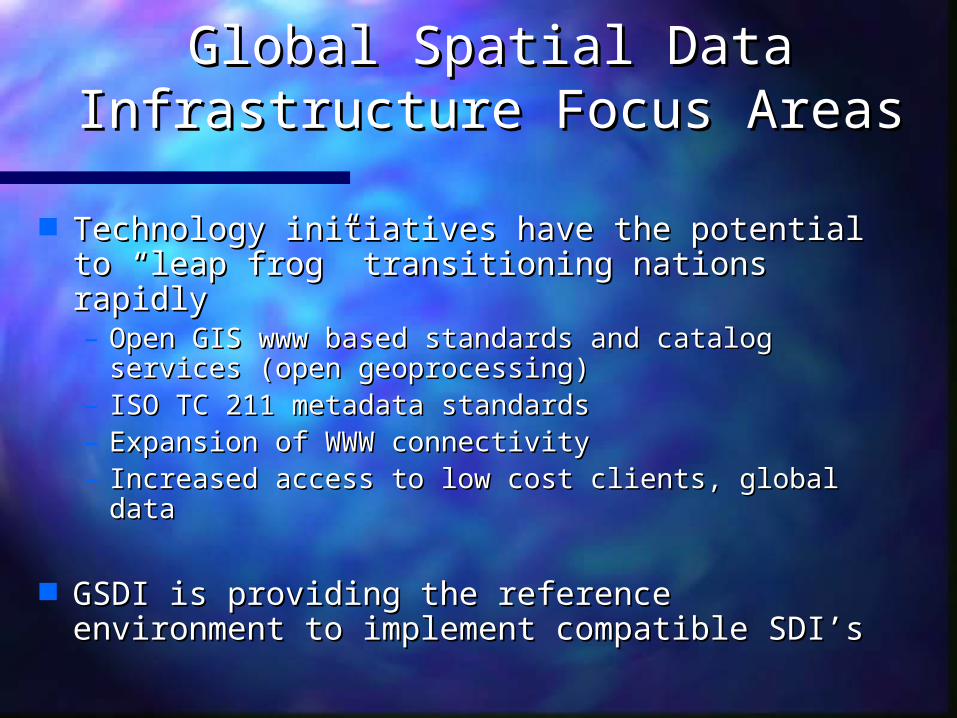
Technology initiatives have the potential to Technology initiatives have the potential to “leap frog” transitioning nations rapidly “leap frog” transitioning nations rapidly – Open GIS www based standards and catalog Open GIS www based standards and catalog
services (open geoprocessing)services (open geoprocessing)– ISO TC 211 metadata standardsISO TC 211 metadata standards– Expansion of WWW connectivityExpansion of WWW connectivity– Increased access to low cost clients, global dataIncreased access to low cost clients, global data
GSDI is providing the reference environment GSDI is providing the reference environment to implement compatible SDI’sto implement compatible SDI’s

US NSDI Clearinghouse US NSDI Clearinghouse Growth 1994 – 2000Growth 1994 – 2000

SDI RelationshipsSDI Relationships
Digital EarthDigital EarthDigital EarthDigital Earth
ISO/TC211ISO/TC211ISO/TC211ISO/TC211
AP
SD
I
ICD
E
NSDI
ASDI
CG
DI
EGII
NaL
IS
NS
I F
HU
NA
GI
NSDIPA
SNIG
NG
DF
Open GISOpen GIS
Org
aniz
atio
nal
Remits
Data
Policie
s
Technolo
gies
Standar
ds
Deliv
ery
Mec
hanis
ms
Finan
ce/H
uman
Resourc
es
ClearinghousesClearinghouses
OGDIOGDIOGDIOGDI
http://www.gsdi.org
NMA’s / World BankNMA’s / World BankNMA’s / World BankNMA’s / World Bank
Global Map, SRTM, Global Map, SRTM, CorineCorine
Global Map, SRTM, Global Map, SRTM, CorineCorine
Forecast for 2003Forecast for 2003
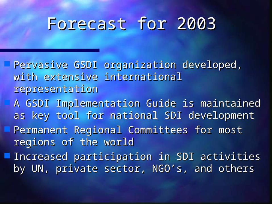
Pervasive GSDI organization developed, Pervasive GSDI organization developed, with extensive international representationwith extensive international representation
A GSDI Implementation Guide is A GSDI Implementation Guide is maintained as key tool for national SDI maintained as key tool for national SDI developmentdevelopment
Permanent Regional Committees for most Permanent Regional Committees for most regions of the worldregions of the world
Increased participation in SDI activities by Increased participation in SDI activities by UN, private sector, NGO’s, and others UN, private sector, NGO’s, and others

Forecast for 2003Forecast for 2003
Open geoprocessing technology and Open geoprocessing technology and data standards move us to a virtual data standards move us to a virtual WWW SDI marketplace WWW SDI marketplace
Telecommunications growth in Africa, Telecommunications growth in Africa, South America, & other areas increases South America, & other areas increases accessibilityaccessibility
Financing sources increase support of Financing sources increase support of infrastructure development as part of infrastructure development as part of focus programsfocus programs
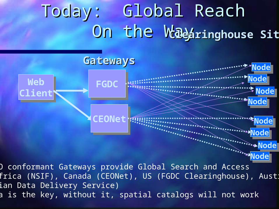
Today: Global Reach On Today: Global Reach On the Waythe Way
GatewaysGateways
WebClient
WebClient
Clearinghouse SitesClearinghouse Sites
CEONetCEONet
NodeNodeNodeNode
NodeNodeNodeNode
FGDCFGDC
NodeNodeNodeNode
NodeNodeNodeNode
•Many ISO conformant Gateways provide Global Search and Access•South Africa (NSIF), Canada (CEONet), US (FGDC Clearinghouse), Australia(Australian Data Delivery Service)•Metadata is the key, without it, spatial catalogs will not work

Tomorrow: A Global Spatial Infrastructure Enabled Through Partnerships, Standards, Technology
Businessess
Consumerss
GovernmentsUsers
Imagery
Web-Enabled Services
MapServices
CatalogServices
Service
Registry
Internet
Elevation HydrographyDemographics Health GeodeticControl
Transportation
Internet
GlobalServiceCatalog
Economic
•E-Commerce•Authentication•Other
Metadata Metadata Metadata Metadata Metadata Metadata Metadata
CrimeEnvironment LocalCadastre
Urban Indicators
Food AvailForecasts
RegisteredLocal, ,Regional,Data

RecommendationsRecommendations
Many of the building blocks for a UN data base Many of the building blocks for a UN data base exist todayexist today
Move to:Move to:– Identify assetsIdentify assets– Inventory – Create Metadata for geospatial Inventory – Create Metadata for geospatial
information holdings (cost, control, liability)information holdings (cost, control, liability)– Advertise - your data and services for others to Advertise - your data and services for others to
discover (Catalog)discover (Catalog)– Consistency – use proven practices and standardsConsistency – use proven practices and standards– Partner – agreements to share and maintainPartner – agreements to share and maintain
Share when possible – don’t recreate Share when possible – don’t recreate Interoperate when you can, don’t designInteroperate when you can, don’t design

Additional InformationAdditional Information
www.gsdi.orgwww.gsdi.org Global Spatial Data Global Spatial Data Infrastructure Infrastructure
www.fgdc.govwww.fgdc.gov Federal Geographic Federal Geographic Data Committee Data Committee
www.fgdc.gov/clearinghouse/www.fgdc.gov/clearinghouse/ US NSDI US NSDI clearinghouse.htmlclearinghouse.html Clearinghouse\ Clearinghouse\
www.opengis.orgwww.opengis.org Open GIS ConsortiumOpen GIS Consortium
http://.ceonet.ccrs.nrcan.gc.ca/http://.ceonet.ccrs.nrcan.gc.ca/ CEONet CanadaCEONet Canada
www.auslig.gov.au/www.auslig.gov.au/ AUSLIGAUSLIG
Recommended