
Seismic in Survey Education
Victor Abbott

Recessionary effects
• John Westwood’s talk from IECO 2009
– Clear dependence upon continued oil and gas
– Evidence of temporary reductions in
exploration
– Expectation of return to recent levels
– Clear need for major investment over thirty
years
Demographics
• Andrea Windsor-Collins
– Statistics applicable only to consultancy ...
– Only 10% of marine and land seismic
personnel under 40
UK land and hydro courses
• Plymouth
• London
• Nottingham
• Newcastle
Seismic exploration in context, i
• Geodesy
– UK, European, Global examples
– Metric, Footric
• GPS
– Stand-alone, Differential, RTK, PPK
– WAAS, EGNOS, MSAS
– Glonass, Galileo, Compass
Seismic exploration in context, ii
• Water, seawater parameters
– Physics, chemistry, sound, light
• Acoustics
– Transmission characteristics, ranging
• Geology
• Electronics
Seismic exploration in context, iii
• Survey planning, the exploration and
production cycle
• Health and safety
• Costing, tendering, qc, qa
• ... and so to seismic vessels, planning,
navigating
Offshore and land seismics
• Plymouth
– Offshore seismic industry dominates our
teaching
– Land survey intrinsic to our introductory
teaching and revised later in the course
– If fieldwork occurs at all, it is with a borrowed
sub-bottom profiler in waters from 10 to 40
metres deep

External influences
• FIG/IHO/ICA joint syllabus
E6.3 Marine geology and geophysics, i
Marine geology:
• Seabed samplers: grabs, corers and dredges
• Rock types and structure of the Earth
Geomorphology:
• Geomorphological structures and processes
• Effects on seabed topography, especially the continental
shelf
E6.3 Marine geology and geophysics, ii
Earth's magnetic field:
• Magnetic field terms. Geomagnetic surveys and the use
of magnetometers. Correction by observatory records.
Define polar reversals and anomalies.
Earth's internal structure:
• Gravimetric terms. Gravity surveys. Gravimeters and the
application of Eötvos correction
E6.3 Marine geology and geophysics, iii
Seismic profiling
• Continuous reflection/refraction seismic profiling
• Equipment: sound sources, receivers and recorders
Geotechnical sampling:
• The objective of geotechnical sampling
• Equipment
• Sampling, storage, analysis
Deposition and erosion:
• Seabed material. Sediment transport and deposition, ...
Option 3: Offshore geophysical
surveying, i
O3.1 Geomagnetic surveys
• Geomagnetic surveys principles; distinguish different aerial survey techniques and applications. Use magnetometer
O3.2 Gravity surveys
• Gravity surveys and operations, both offshore and onshore. Fundamentals of a gravimeter
O3.3 Digital seismic techniques
• Reflection, refraction, multiple fold profiling, 2D, 3D, high resolution shallow seismic, navigation processing for 3D seismic, integrated seismic network solutions, Kalmanfiltering. Specify and Plan Seismic Surveys
Option 3: Offshore geophysical
surveying, ii
O3.4 Digital seismic data acquisition
• Acoustic sources, streamers, resolution, penetration, depth of tow, tail buoys and equipment tests for specific applications. Appropriate equipment for seismic data acquisition
O3.5 Digital seismic data processing
• Basic techniques: stacking, migration, normal moveout, interpretation (conventional and computer-assisted) techniques to identify anomalies
O3.6 Analogue equipment
• Profilers: boomers, sparkers and chirp systems. Frequency and wavelength wrt resolution and penetration. Equipment for towing, launch and recovery. Coverage and penetration of systems and select equipment for appropriate applications

External influences
• IHO syllabus
• IMCA
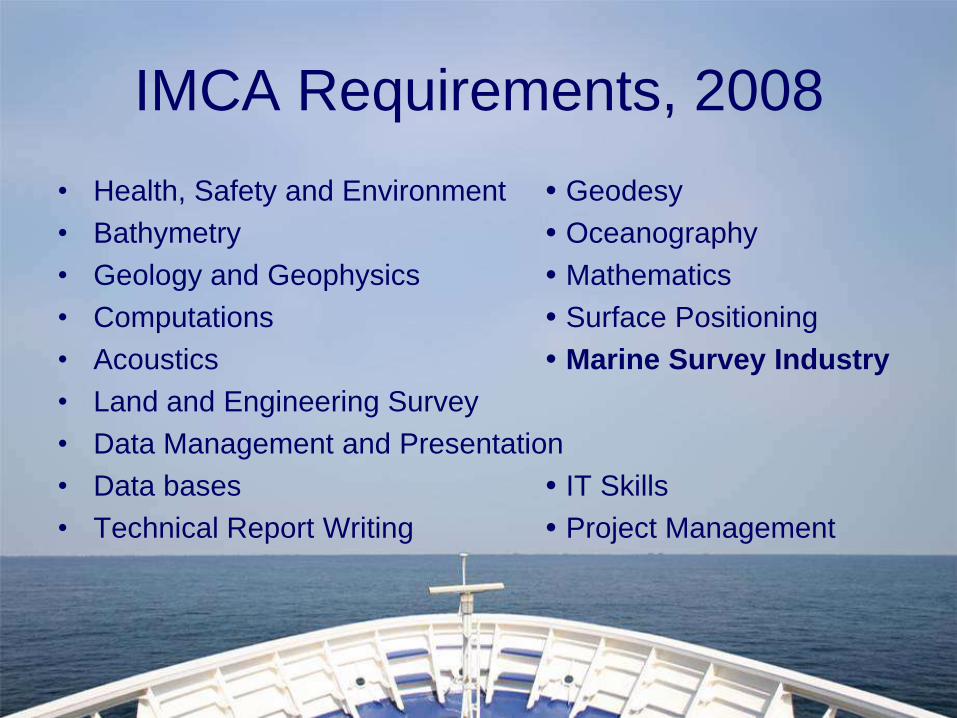
IMCA Requirements, 2008
• Health, Safety and Environment Geodesy
• Bathymetry Oceanography
• Geology and Geophysics Mathematics
• Computations Surface Positioning
• Acoustics Marine Survey Industry
• Land and Engineering Survey
• Data Management and Presentation
• Data bases IT Skills
• Technical Report Writing Project Management
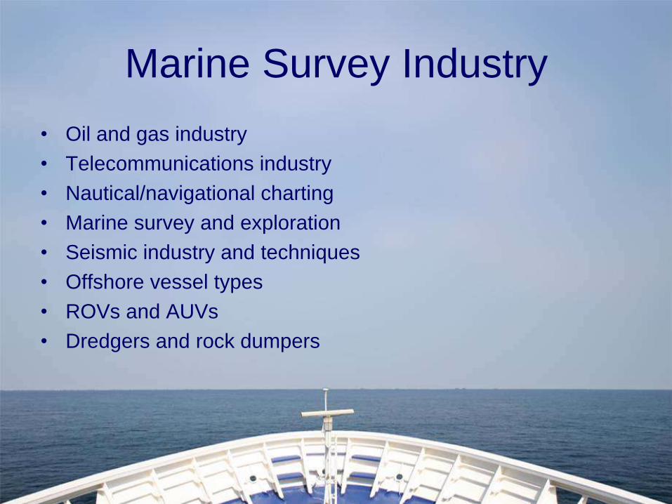
Marine Survey Industry
• Oil and gas industry
• Telecommunications industry
• Nautical/navigational charting
• Marine survey and exploration
• Seismic industry and techniques
• Offshore vessel types
• ROVs and AUVs
• Dredgers and rock dumpers
External influences
• IHO syllabus
• IMCA
• IMarEST
• RICS
• CICES
• The Hydrographic Society
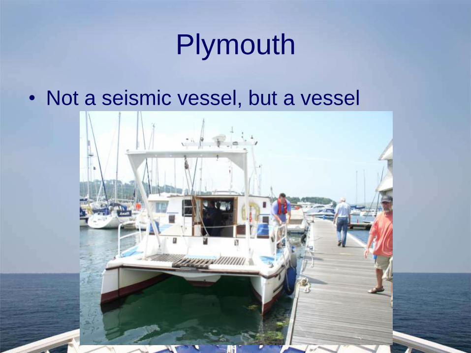
Plymouth
• Not a seismic vessel, but a vessel
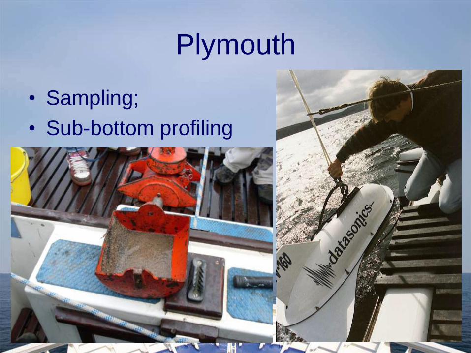
Plymouth
• Sampling;
• Sub-bottom profiling
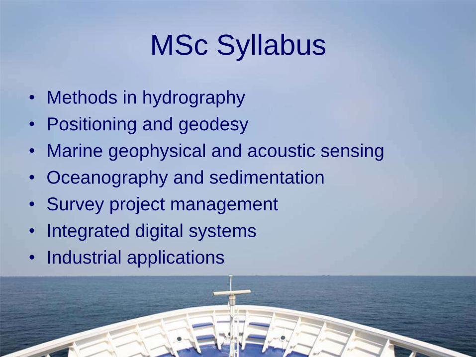
MSc Syllabus
• Methods in hydrography
• Positioning and geodesy
• Marine geophysical and acoustic sensing
• Oceanography and sedimentation
• Survey project management
• Integrated digital systems
• Industrial applications
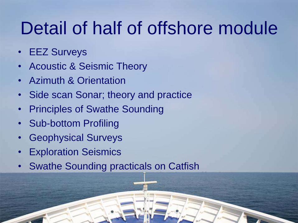
Detail of half of offshore module• EEZ Surveys
• Acoustic & Seismic Theory
• Azimuth & Orientation
• Side scan Sonar; theory and practice
• Principles of Swathe Sounding
• Sub-bottom Profiling
• Geophysical Surveys
• Exploration Seismics
• Swathe Sounding practicals on Catfish
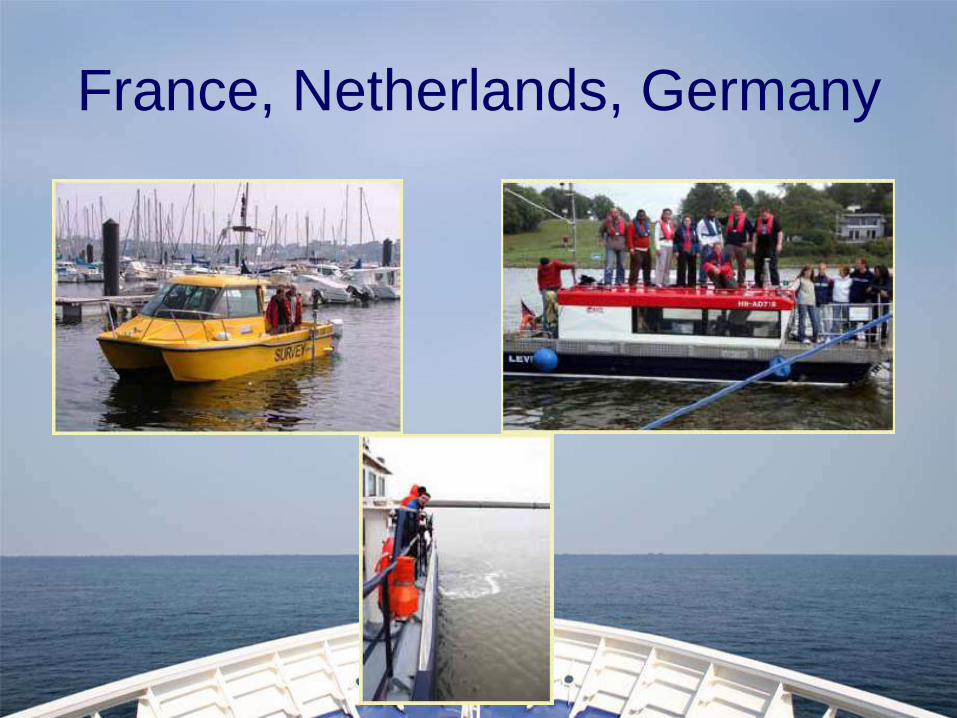
France, Netherlands, Germany
KTP Project, WGP, Bude
• Government subsidised (NERC, DTI)
• 2 way flow of information and experience
– Industrial level seismic experience
– Establishment of GIS
• Interesting project
• Short course and consequential publicity
• Accreditation
Conclusion
• Originally employed with recent industrial
experience
• Now a concentration on research …
• Occasional forays afloat …
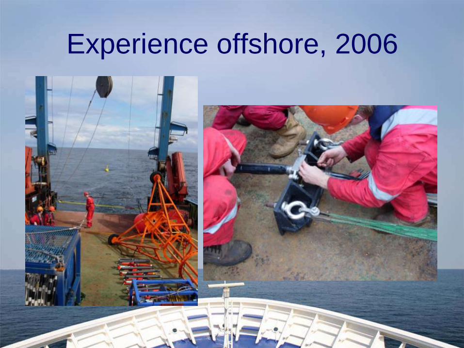
Experience offshore, 2006
Recommended