WOC2005 mapping with GPS
Kazushige HatoriWOC2005 mapping team
Summary
General report of WOC2005 mapping
How to use GPS for o-mapping ? How effective is GPS ? GPS use in the future
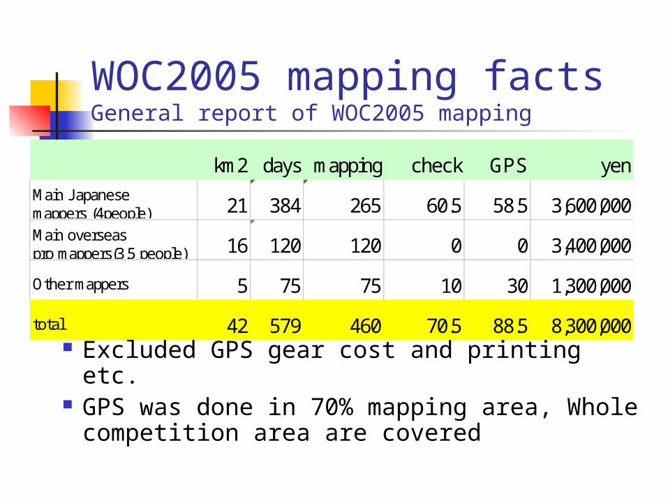
WOC2005 mapping facts General report of WOC2005 mapping
Excluded GPS gear cost and printing etc. GPS was done in 70% mapping area,
Whole competition area are covered
km2 days mapping check GPS yenMain J apanese mappers (4people) 21 384 265 60.5 58.5 3,600,000Main overseaspro mappers(3.5 people) 16 120 120 0 0 3,400,000
Other mappers 5 75 75 10 30 1,300,000
total 42 579 460 70.5 88.5 8,300,000
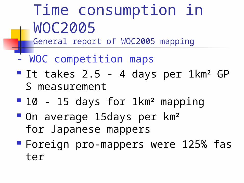
Time consumption in WOC2005General report of WOC2005 mapping
- WOC competition maps It takes 2.5 - 4 days per 1km2 GPS measur
ement 10 - 15 days for 1km2 mapping On average 15days per km2
for Japanese mappers Foreign pro-mappers were 125% faster
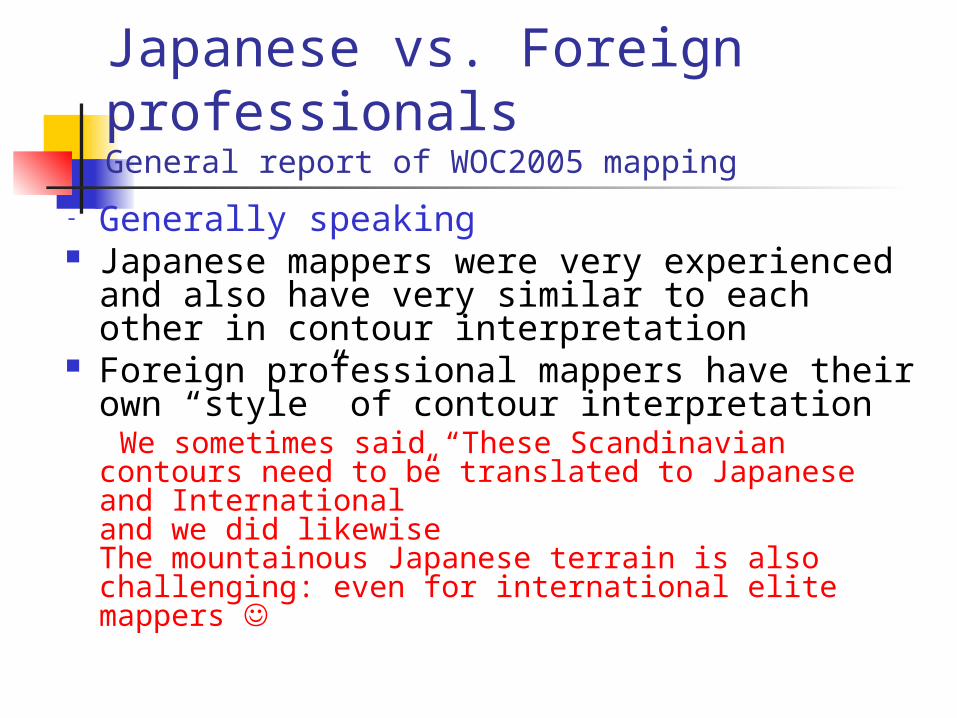
Japanese vs. Foreign professionalsGeneral report of WOC2005 mapping
- Generally speaking Japanese mappers were very experienced
and also have very similar to each other in contour interpretation
Foreign professional mappers have their own “style” of contour interpretation
We sometimes said “These Scandinavian contours need to be translated to Japanese and International”and we did likewiseThe mountainous Japanese terrain is also challenging: even for international elite mappers
Summary 2
General report of WOC2005 mapping
How to use GPS for o-mapping ? How effective is GPS? GPS use in the future
GPS use for mappingHow to use GPS for o-mapping ?
We use GPS only for improving the basemap
We didn’t use GPS for real-time electronic mapping
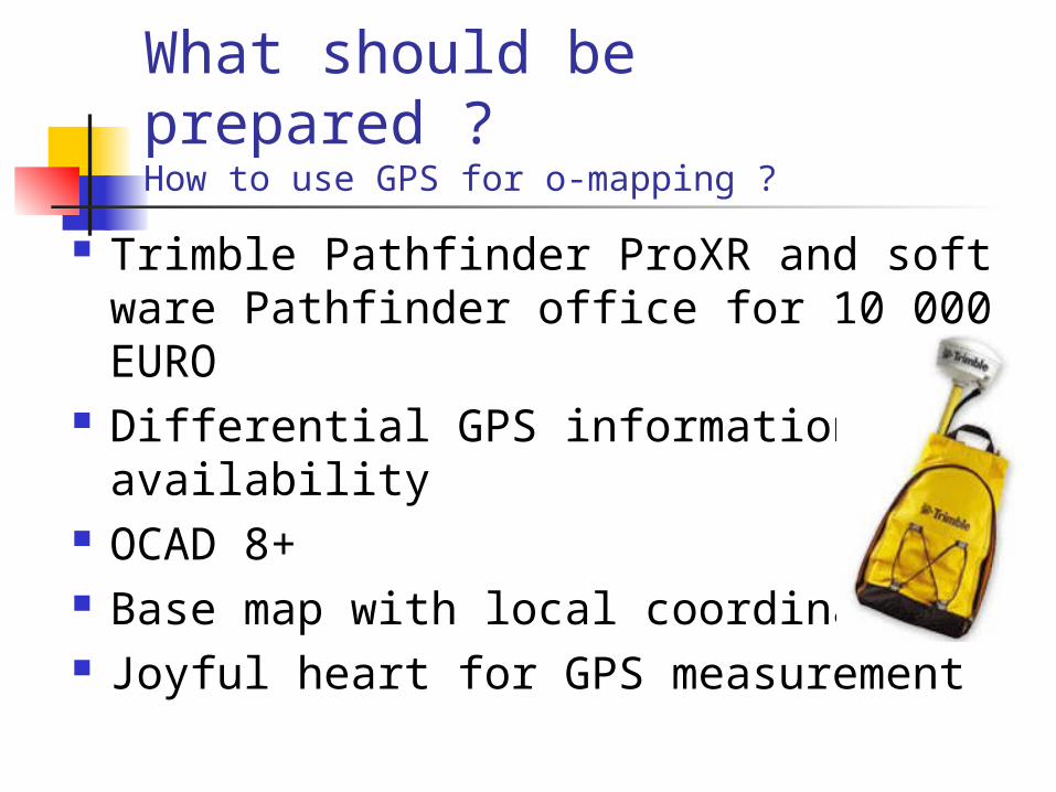
What should be prepared ?How to use GPS for o-mapping ?
Trimble Pathfinder ProXR and software Pathfinder office for 10 000EURO
Differential GPS information availability
OCAD 8+ Base map with local coordinates Joyful heart for GPS measurement
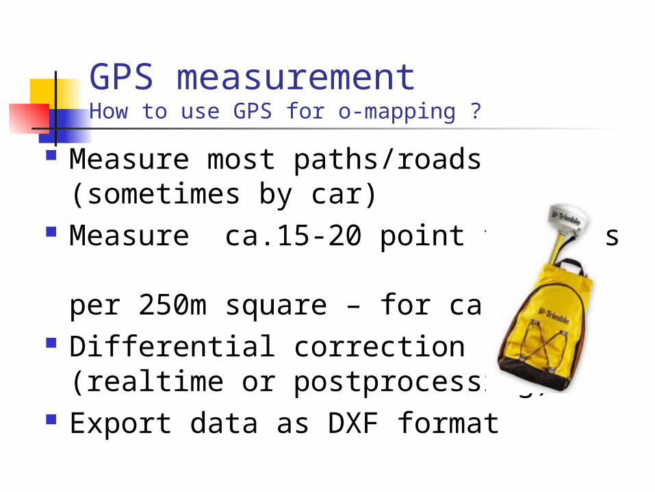
GPS measurementHow to use GPS for o-mapping ?
Measure most paths/roads (sometimes by car)
Measure ca.15-20 point features per 250m square – for ca.1hour
Differential correction(realtime or postprocessing)
Export data as DXF format
Making base mapHow to use GPS for o-mapping ?
Scan local coordinate basemap Set the basemap on OCAD using
‘template adjust’ according to local coordinates
Import GPS DXF data and allocate suitable symbols to each GPS feature
Printout the improved basemap.
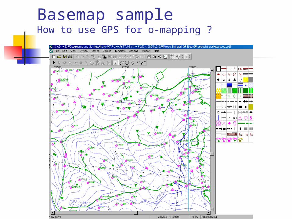
Basemap sampleHow to use GPS for o-mapping ?
Summary 3
General report of WOC2005 mapping
How to use GPS with o-mapping ? How effective is GPS? GPS use in the future
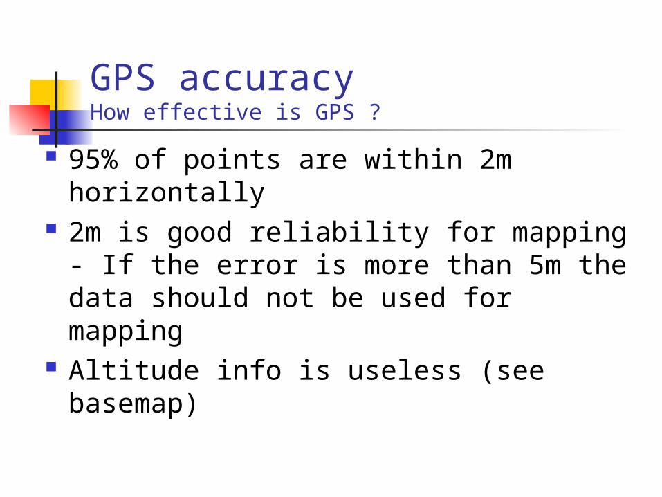
GPS accuracyHow effective is GPS ?
95% of points are within 2m horizontally
2m is good reliability for mapping- If the error is more than 5m the data should not be used for mapping
Altitude info is useless (see basemap)
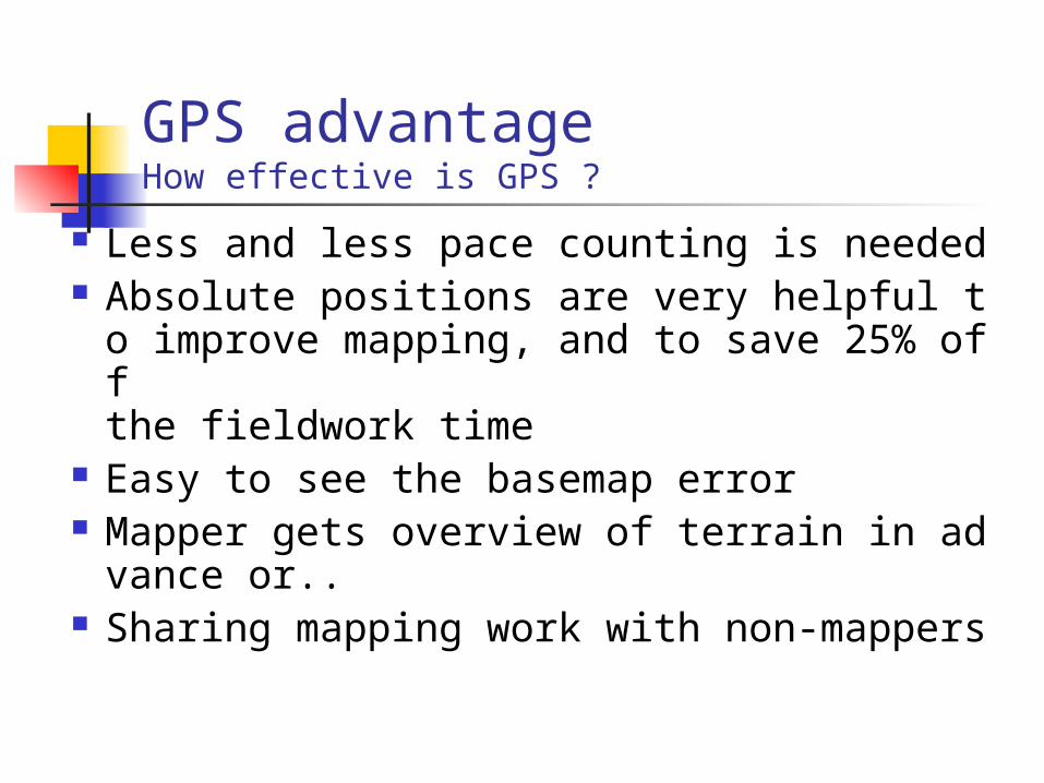
GPS advantageHow effective is GPS ?
Less and less pace counting is needed Absolute positions are very helpful to impro
ve mapping, and to save 25% off the fieldwork time
Easy to see the basemap error Mapper gets overview of terrain in advance
or.. Sharing mapping work with non-mappers
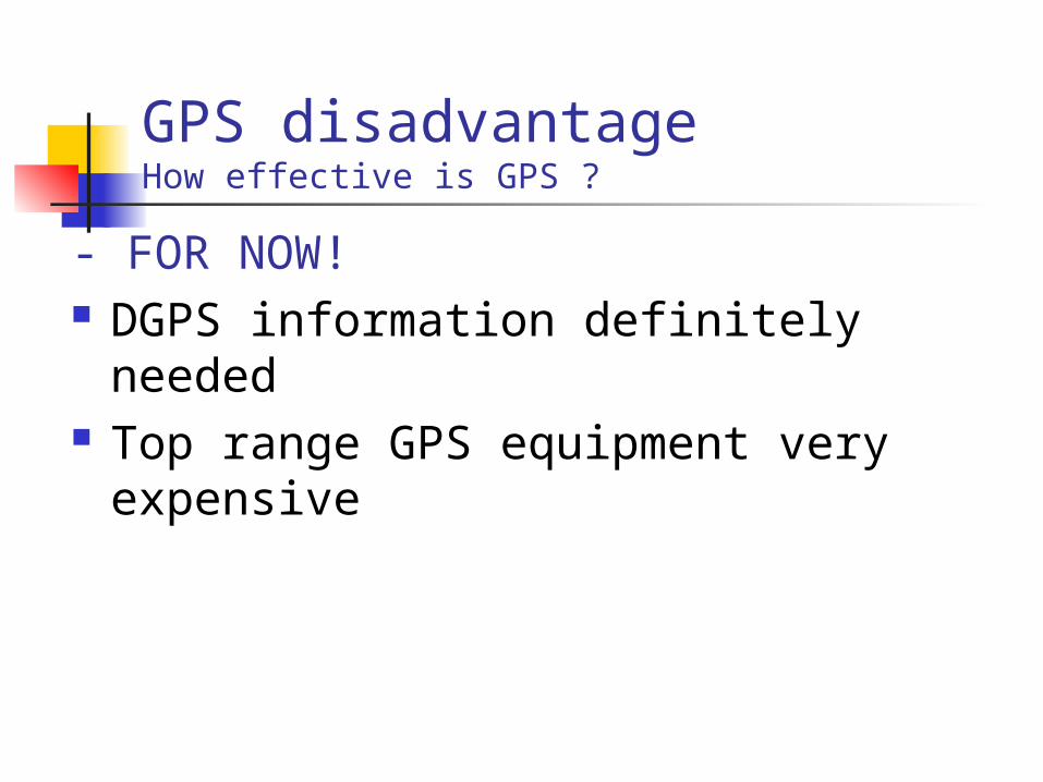
GPS disadvantageHow effective is GPS ?
- FOR NOW! DGPS information definitely needed Top range GPS equipment very
expensive
Summary 4
General report of WOC2005 mapping
How to use GPS with o-mapping ? How effective to use GPS ? GPS use in the future
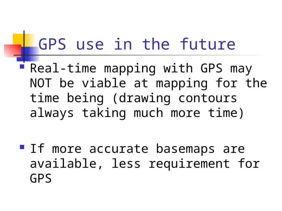
GPS use in the future Real-time mapping with GPS may
NOT be viable at mapping for the time being (drawing contours always taking much more time)
If more accurate basemaps are available, less requirement for GPS
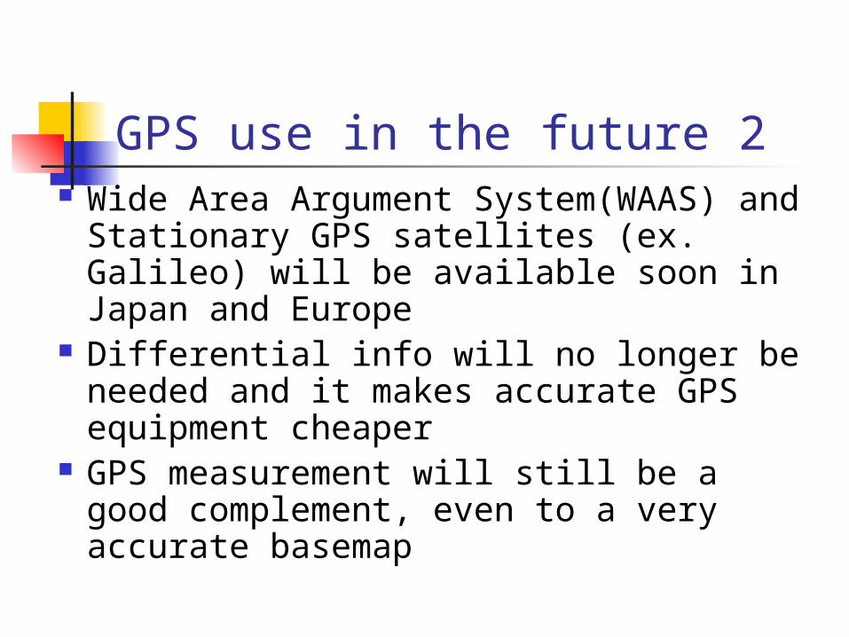
GPS use in the future 2 Wide Area Argument System(WAAS) and
Stationary GPS satellites (ex. Galileo) will be available soon in Japan and Europe
Differential info will no longer be needed and it makes accurate GPS equipment cheaper
GPS measurement will still be a good complement, even to a very accurate basemap
Recommended