DEALING GEOGRAPHIC DATA
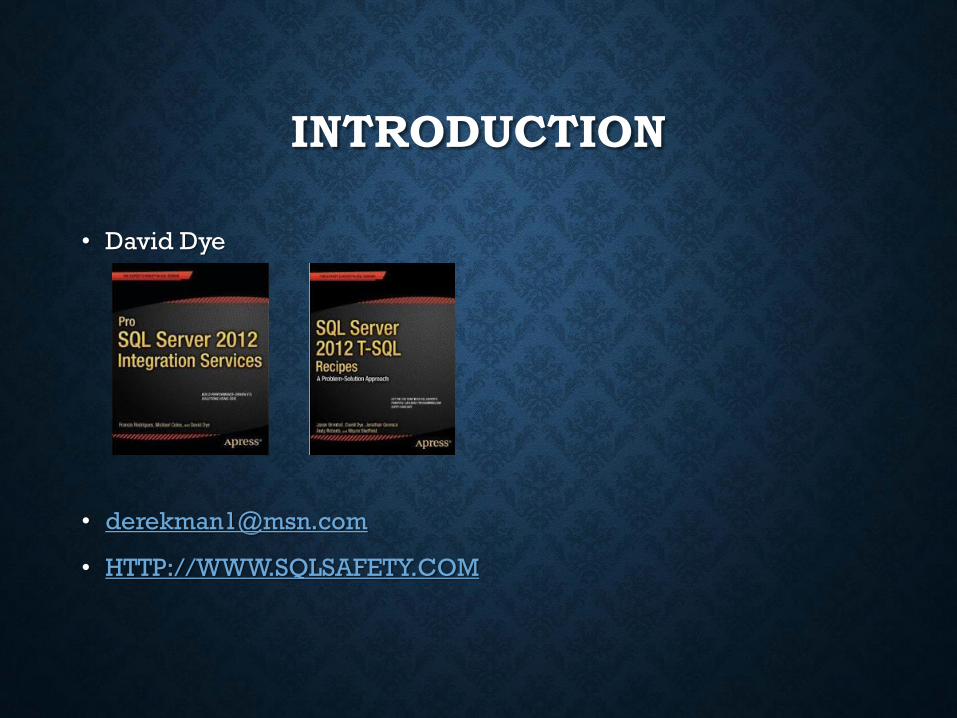
David Dye

DEALING GEOGRAPHIC DATA
• Introduction
• Working With Addresses
• ETL
• Presenting
INTRODUCTION
• David Dye
• HTTP://WWW.SQLSAFETY.COM

WORKING WITH ADDRESSES

BACKGROUND• Within Public Safety many reports are geographically based and visual reports
are helpful
• Pin maps became the de facto standard of geographic maps
• Looks kewl, but no so easy to automatw
• Crime clusters
• Burglaries within a xx radius
• Focused patrol areas
• Traffic crashes with injuries
• YES we target problem areas NOT people
• Traffic crashes without injuries
• Granularity based on the reason for the first harmful event
• Did He do that too???
• Locate similar crimes in the area where suspects are arrested
• Car hoppers!!!
• AKA job security!!

DEALING WITH LOCATION
• What location information do you deal with?
• Country
• State/Providence
• Zip code
• City
• Address
• Block range
• What do you need to report on
• Granularity!!!
• How does it have to be reported?
• Aggregations
• Non-map based
• Visual representation

DEFINE REPORT FORMAT
• Table, matrix, list
• Visual

PRESENTING TO POLICE

DEMONSTRATION
Tabular report (BasicAddressReport.rdl)
Data set review
SSRS report expression
Map control report (MapReport.rdl)
Map Control Wizard

HOW IS LOCATION RECEIVED/STORED
• How do you receive and store your date
• Fully parsed address
• Full address
• Lon and Lat
• SQL Spatial
• The higher the level of receipt/storage the more analysis and
cleansing
• TAKE THE TIME TO DO EXHAUSTIVE EVALUATION
• Look for the rules and then find the most common exceptions
• Generally the more granular the storage/receipt the easier it is to
validate and piece together

WHAT IS BEING REPORTED?
• Review how the geographic data is being reported
• Granularity
• Zip
• Block ranges
• Latitude and longitude/Point
• Strive to drill down to the lowest level
• Does it require visualization (SSRS Map Component)
• “14 Crashes in the 100 Block North Del Prado”

CREATE YOUR DIMENSION
• Based on the reporting needs will drive the schema of the
dimension table
CREATE TABLE [dbo].[DimGeography](
[geoid] [int] IDENTITY(1,1) NOT NULL,
[commitedkey] [int] NULL,
[inci_id] [varchar](14) NULL,
[block] [int] NULL…………
• Review DDL Example
DEMONSTRATION
DDL statement (LocationQueries.sql)
Discuss requirements
Crossrd(s)
Block range critical!!
geox
geoy

ETL

EVALUATE DATA SOURCES
• Where is geographic data being stored
• SQL
• Excel (SORRY BRO!!)
• ESRI
• CSV
• Fox Pro (REALLY!! Why not Aramaic?)
• Can separate sources be maintained
• Based on the ability to present as a whole and consistency and
accuracy
• Is location parsed?
• If not evaluate the need/ability to parse during the
transformation
• Eases presenting and cleansing
IMPORTING
• If possible parse the data to its most granular segments
• Street number
• Street
• Street prefix
• Street Suffix
• City
• Zip
• State
• Clean it up!!
• Find most common inconsistencies
• Str, S, or Street should all be “St”
• Del Prdo, D.P., Dele Prado should all be “Del Prado”
• REVIEW DEMO T-SQL CODE

TRANSFORMATIONS
• Based on the source data not all data sets may be present
• Block range
• VIEW DEMO CODE
• Longitude/Latitude
• Cross street(s)
• Address accuracy is critical at this point!!
• Accurate and consistent!

HOW DO I GET LAT/LON?
• You can manually enter each address
• http://itouchmap.com/latlong.html
• http://stevemorse.org/jcal/latlon.php
• C’Mon Man!! Really?!?!
• Automate!!
• Google Maps API
• https://developers.google.com/maps/documentation/geocoding/#geocoding
• Limits usage
• Free 2,500 within 24 hours
• Business 100,000 within 24 hours
• Will also begin to throttle based on requests submitted within a minute threshold
• MelissaData
• Native SSIS transformation
• Provides extensible transformation
• US and International
• DEMO

DEMONSTRATION
SQL Cleansing (LocationQueries.sql)
Discuss requirements
Crossrd(s)
Block range critical!!
geox
geoy

KEWL, BUT NOW WHAT?!?
• I got lat and lon!! Now what?!?!
• Power Pivot/ Power Map Demo
• Address only
• THIS IS WHY WE NEED LAT LON
• Lat lon in Power Map
• We can do better!!
• SQL Server spatial data type supports
• Native functions
• SSRS map control
• Provides dynamic visualization of geographic data

DEMONSTRATION
Power Map using address
OUCH!!
Power Map using Lat/Lon
Getting there!

SQL SPATIAL PRIMER
• Introduced in SQL 2008
• Based on CLR user defined type
• System provided
• Does not require enabling CLR
• Geography
• Supports methods
• Open Geospatial Consortium (OGC) standard
• Set of Microsoft extensions to that standard
• Geometry
• Supports methods
• Open Geospatial Consortium (OGC) standard
• Set of Microsoft extensions to that standard

DEMONSTRATION
Geometry (LocationQueries.sql)
Geography(LocationQueries.sql)

WHY USE SQL SPATIAL
• It’s KEWL
• Chicks dig it

WHY USE SPATIAL
• Provides the ability create SSRS reports using the Map Control
• Better than address and latitude and longitude
• More exact
• Spatial functions can be applied
• All points within the radius of a point
• Once longitude and latitude is obtained we can convert this to
geography data type
• Geography column can be set using an UPDATE statement
• DEMO

DEMONSTRATION
Update spatial column
Spatial methods
STDistance

SSRS MAP COMPONENT
• Wizards ROCK!!
• Report builder 3.0 Map Report
• SSDT
• More control!

DEMONSTRATION
Map Builder
Wizard
SSDT
Basic
Radius
Parameterized
Recommended