Embed Size (px)
Citation preview

WHERE IS BANGLADESH? – WHAT ARE THE HUMAN AND PHYSICAL CHARACTERISTICS OF BANGLADESH? Caitlin, William and Charlie!
WHERE IS BANGLADESH?
Bangladesh is a south Asian country, which is bordered by India (to its west, north and east), then Burma is to its southeast and separated from Nepal and Bhutan by the Chicken’s Neck corridor. To its south, it faces the Bay of Bengal. Bangladesh is one of the world's most densely populated countries, with its people crammed into a delta of rivers that empties into the Bay of Bengal.

WHY DOES IT SUFFER FROM FLOODING? WHEN HAS FLOODING OCCURRED?
Kels, Sam& Brodyn
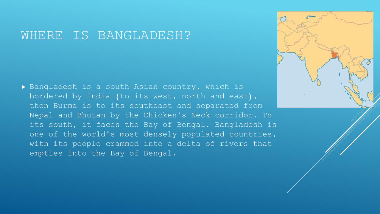
Bangladesh is prone to serious and chronic flooding with 75% of the country below 10m above sea level. 80% is classified as floodplain as Bangladesh is principally the delta region of South Asia’s great rivers.
o Cyclones cause coastal flooding
o There is lots of low lying land
o Heavy monsoon rains
o Deforestation
o Melt water from Himalayas
o Increasing urban areas
WHY DOES IT SUFFER FROM FLOODING?
WHEN HAS FLOODING OCCURRED?
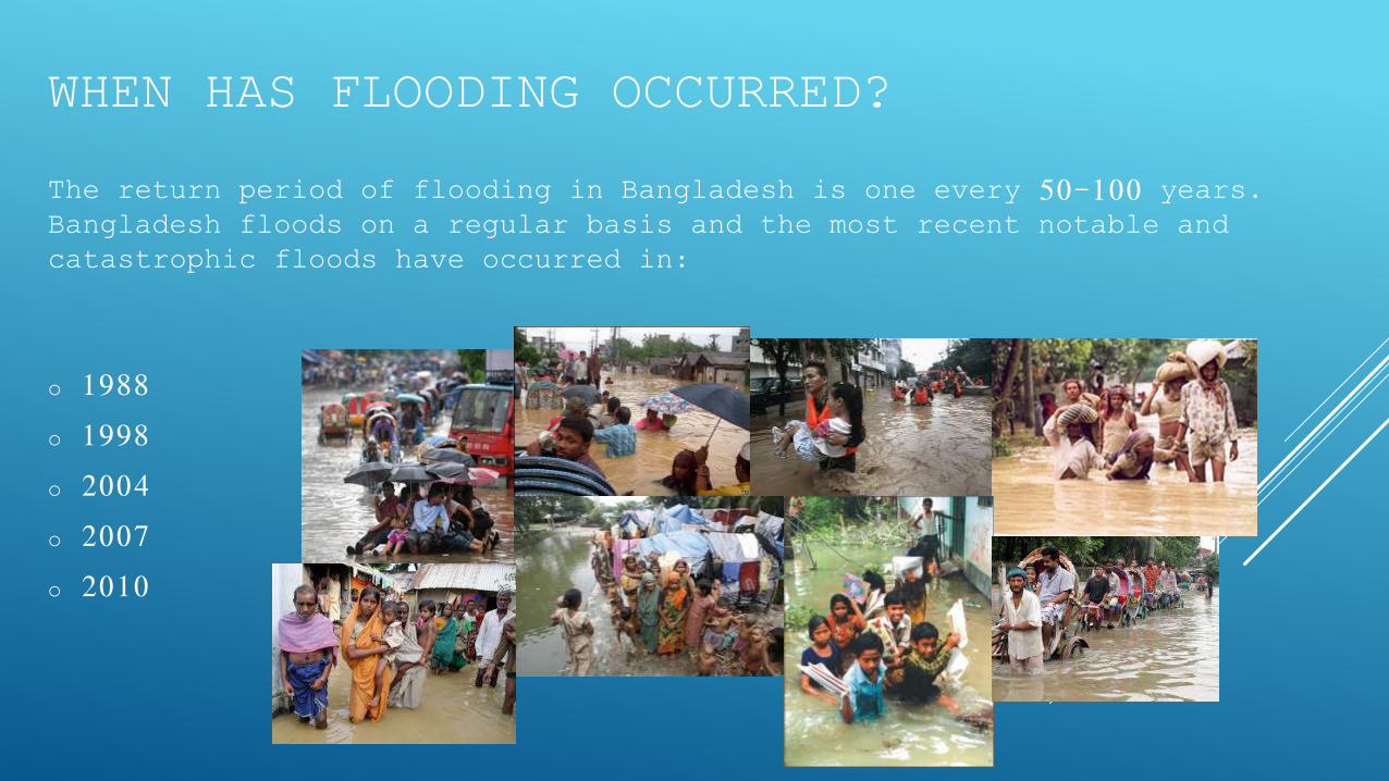
The return period of flooding in Bangladesh is one every 50-100 years. Bangladesh floods on a regular basis and the most recent notable and catastrophic floods have occurred in:
o 1988
o 1998
o 2004
o 2007
o 2010

CAUSES OF THE 1998 FLOOD
PHYSICALS CAUSES
High tides in the centre of the country.
Most of the country consists of a huge flood plain and delta.
70% of the total area is less than 1 metre above sea level.
10% of the land area is made up of Lakes and Rivers
Snowmelt from the Himalayas takes place in late spring & summer
Bangladesh experiences heavy monsoon rains, especially over the highlands
Tropical storms bring heavy rains and coastal flooding
All rivers experienced their peak flow at the same time.
HUMAN CAUSES
Deforestation in Nepal and the Himalayas increases run off and adds to deposition and flooding downstream
Urbanisation of the flood plain has increased magnitude & frequency of floods
The building of dams in India
Global warming is blamed for sea level rise, increased snow melt & increased rainfall in the region
Poorly maintained embankments (levees) leak & collapse in times of high discharge
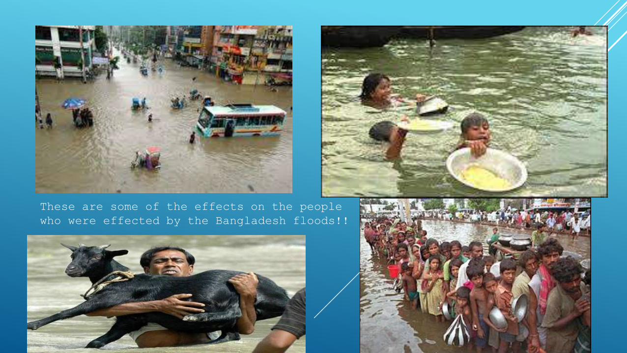
These are some of the effects on the people who were effected by the Bangladesh floods!!
EFFECTS ON PEOPLE
Over 1300 people were killed
7 million homes were destroyed
25 million people were made homeless
Diseases spread such as bronchitus and cholera/diarrhoea
approximately 2 million tons of rice being wiped out.
EFFECTS ON THE COMMUNITY
Over 57% of the land area was flooded
There was a serious shortage of drinking water & dry food
2 million tonnes of rice was destroyed
1/2 million cattle and poultry were lost
Overall the floods cost the country almost $1 billion

WHAT WERE THE CAUSES OF THE FLOODING IN 2004?By Fin & Chels
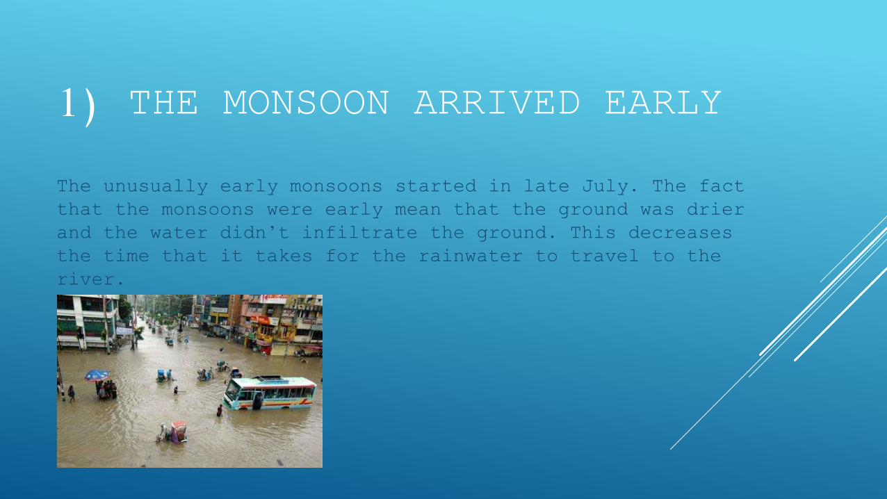
1) THE MONSOON ARRIVED EARLY
The unusually early monsoons started in late July. The fact that the monsoons were early mean that the ground was drier and the water didn’t infiltrate the ground. This decreases the time that it takes for the rainwater to travel to the river.
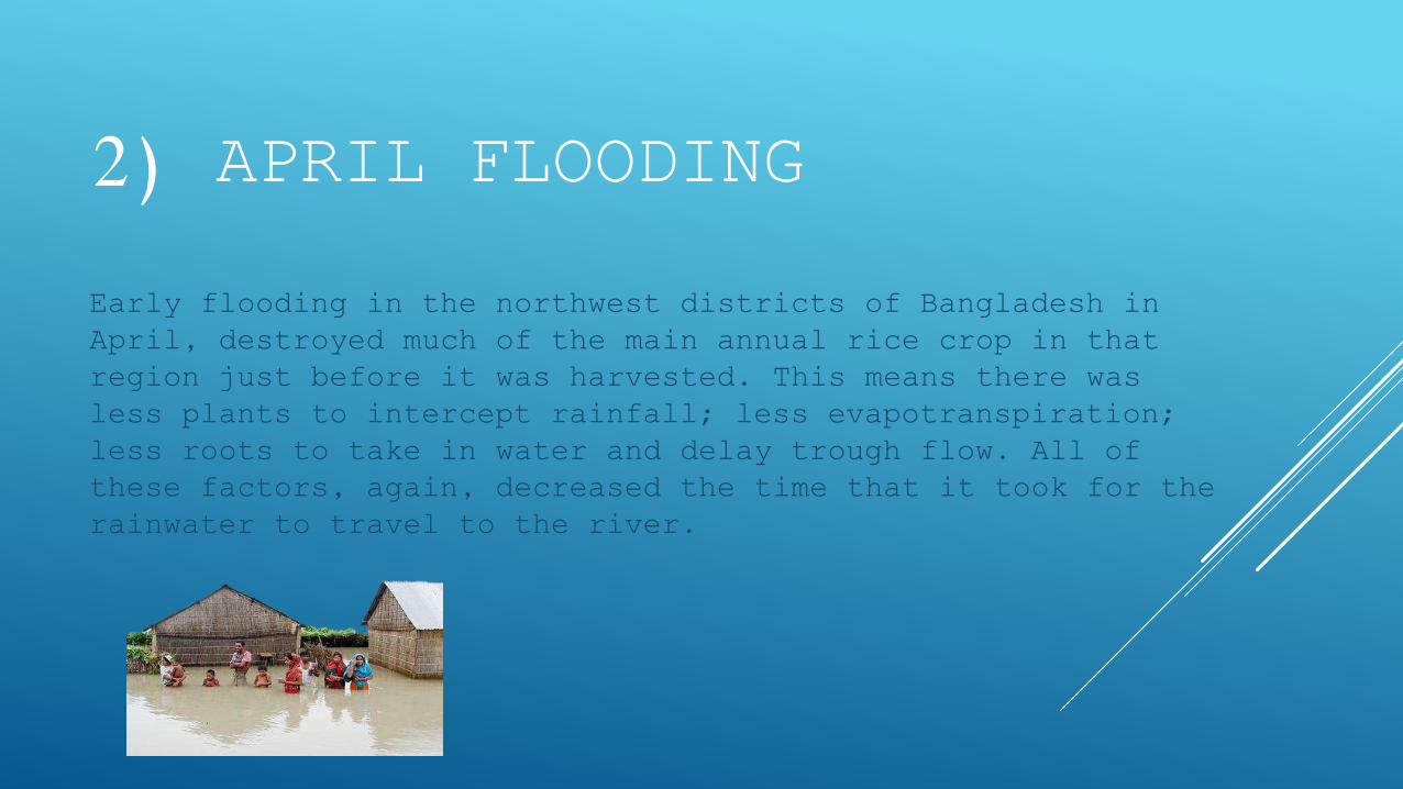
2) APRIL FLOODING
Early flooding in the northwest districts of Bangladesh in April, destroyed much of the main annual rice crop in that region just before it was harvested. This means there was less plants to intercept rainfall; less evapotranspiration; less roots to take in water and delay trough flow. All of these factors, again, decreased the time that it took for the rainwater to travel to the river.
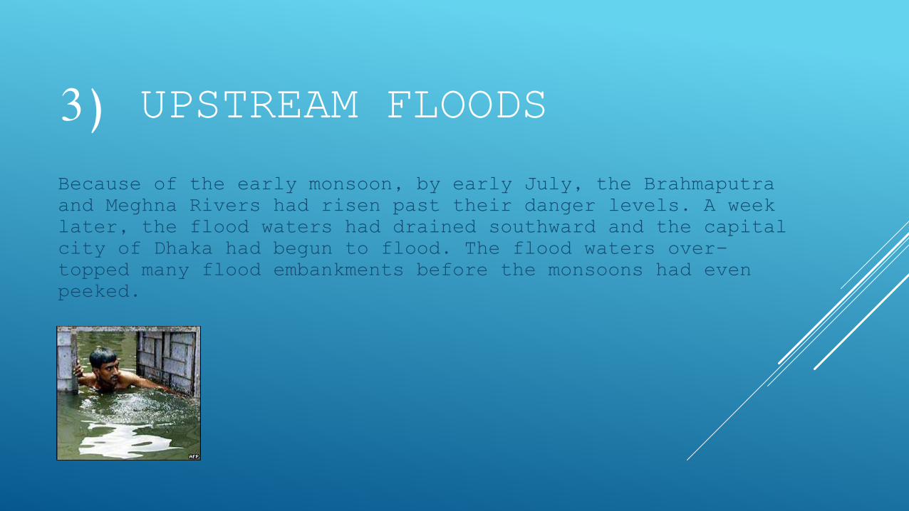
3) UPSTREAM FLOODS
Because of the early monsoon, by early July, the Brahmaputra and Meghna Rivers had risen past their danger levels. A week later, the flood waters had drained southward and the capital city of Dhaka had begun to flood. The flood waters over-topped many flood embankments before the monsoons had even peeked.
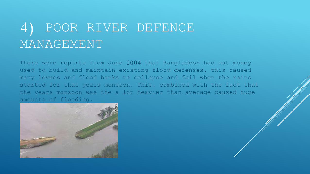
4) POOR RIVER DEFENCE MANAGEMENT There were reports from June 2004 that Bangladesh had cut money used to build and maintain existing flood defenses, this caused many levees and flood banks to collapse and fail when the rains started for that years monsoon. This, combined with the fact that the years monsoon was the a lot heavier than average caused huge amounts of flooding.

THE EFFECTS OF THE 2004 FLOODING (ON THE PEOPLE AND THE ECONOMY)
by Anthony , Shaun & Josh
HUMAN EFFECTS (MALNUTRITION)
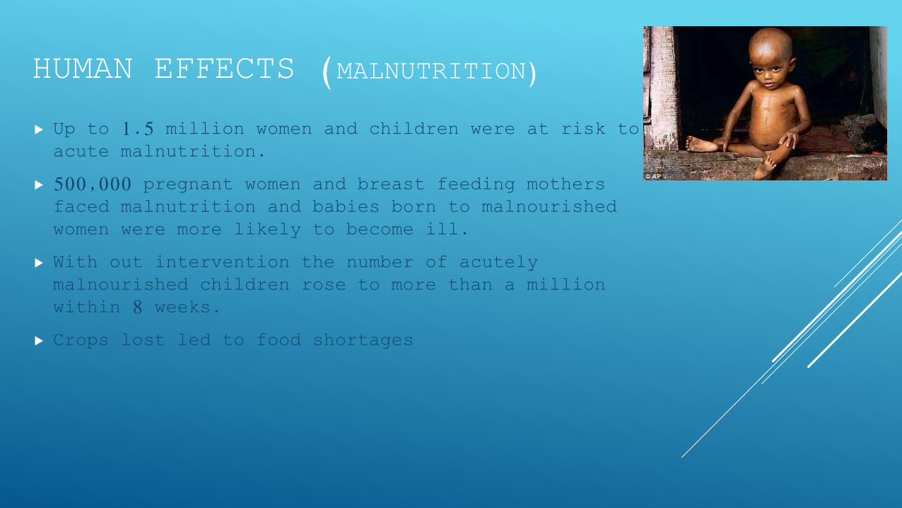
Up to 1.5 million women and children were at risk to acute malnutrition.
500,000 pregnant women and breast feeding mothers faced malnutrition and babies born to malnourished women were more likely to become ill.
With out intervention the number of acutely malnourished children rose to more than a million within 8 weeks.
Crops lost led to food shortages
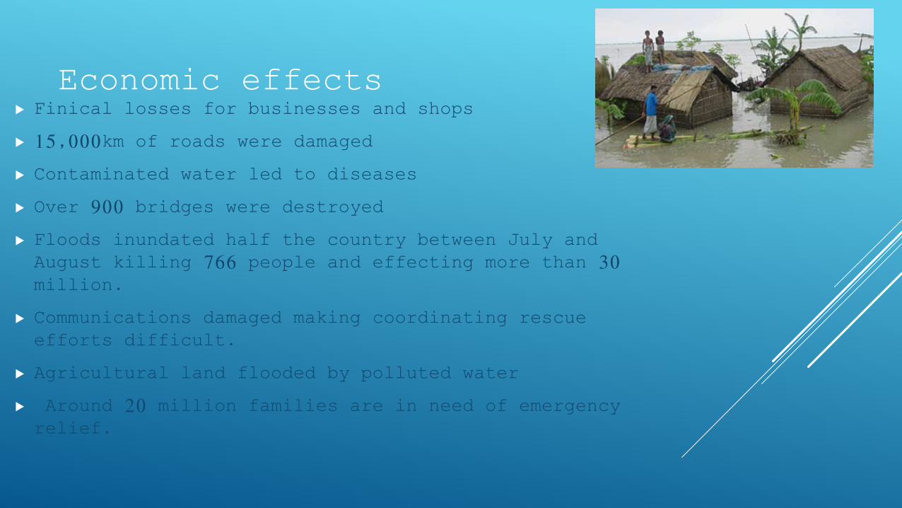
Finical losses for businesses and shops
15,000km of roads were damaged
Contaminated water led to diseases
Over 900 bridges were destroyed
Floods inundated half the country between July and August killing 766 people and effecting more than 30 million.
Communications damaged making coordinating rescue efforts difficult.
Agricultural land flooded by polluted water
Around 20 million families are in need of emergency relief.
Economic effects

FLOOD CAUSES 2007By Mitch and Meredith
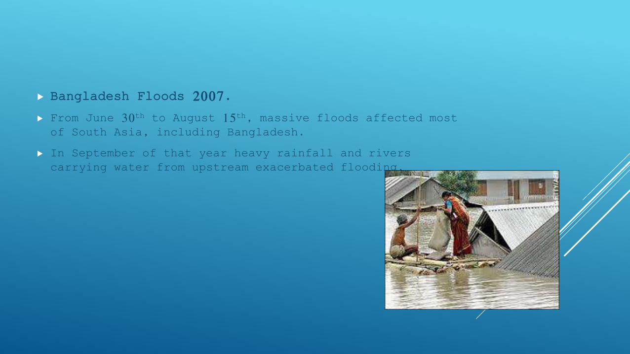
Bangladesh Floods 2007.
From June 30th to August 15th, massive floods affected most of South Asia, including Bangladesh.
In September of that year heavy rainfall and rivers carrying water from upstream exacerbated flooding.

Natural causes of flooding in Bangladesh:
Cyclones cause coastal flooding – Bangladesh is near the Indian Ocean, one of the wold’s warmest oceans. Warm water is needed to create a cyclone.
Lots of low lying land – Most of Bangladesh is below sea level.
Heavy monsoon rains – Approximately 80% of Bangladesh’s rainfall occurs from June – October.
Human causes of flooding in Bangladesh:
Melt water from the Himalayas – in the Himalayas water melts because global warming is destroying the glaciers. This causes some of the water to flow into the Ganges increasing the water level.
Deforestation – People in Bangladesh have a growing population increasing the demand of resources. As a result there have been more trees cut down reducing the interception levels allowing water to flow faster into the river.
Increasing urban areas – urbanisation results in massive pieces of land being concreted over making infiltration impossible which increases surface runoff.
Agriculture – increased irrigation and agricultural activity in the country's towards the north of Bangladesh, results In more silt being deposited in the Ganges. This elevates the river bed so it can not hold as much water.
THE EFFECTS OF THE BANGLADESH FLOODS 2007By Ben and Jack c
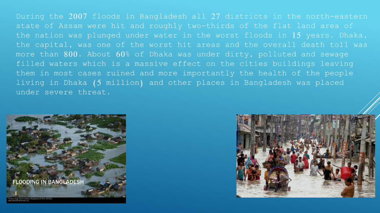
During the 2007 floods in Bangladesh all 27 districts in the north-eastern state of Assam were hit and roughly two-thirds of the flat land area of the nation was plunged under water in the worst floods in 15 years. Dhaka, the capital, was one of the worst hit areas and the overall death toll was more than 800. About 60% of Dhaka was under dirty, polluted and sewage filled waters which is a massive effect on the cities buildings leaving them in most cases ruined and more importantly the health of the people living in Dhaka (5 million) and other places in Bangladesh was placed under severe threat.
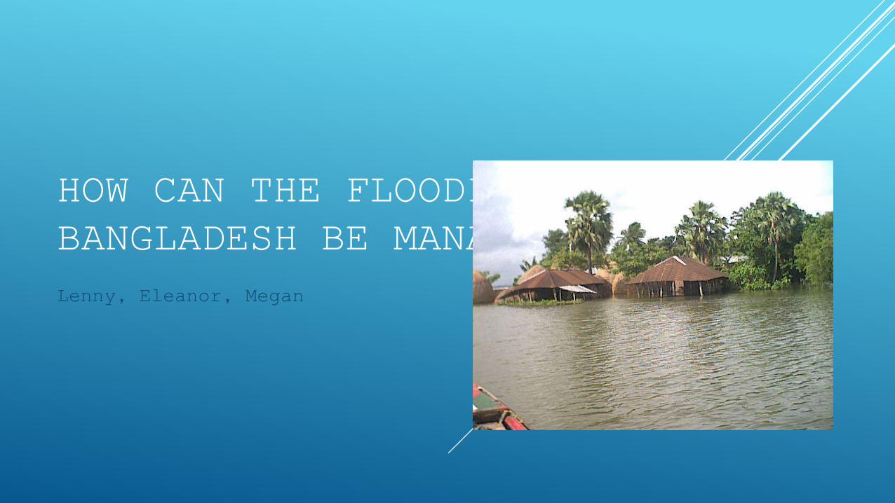
HOW CAN THE FLOODING IN BANGLADESH BE MANAGED?Lenny, Eleanor, Megan
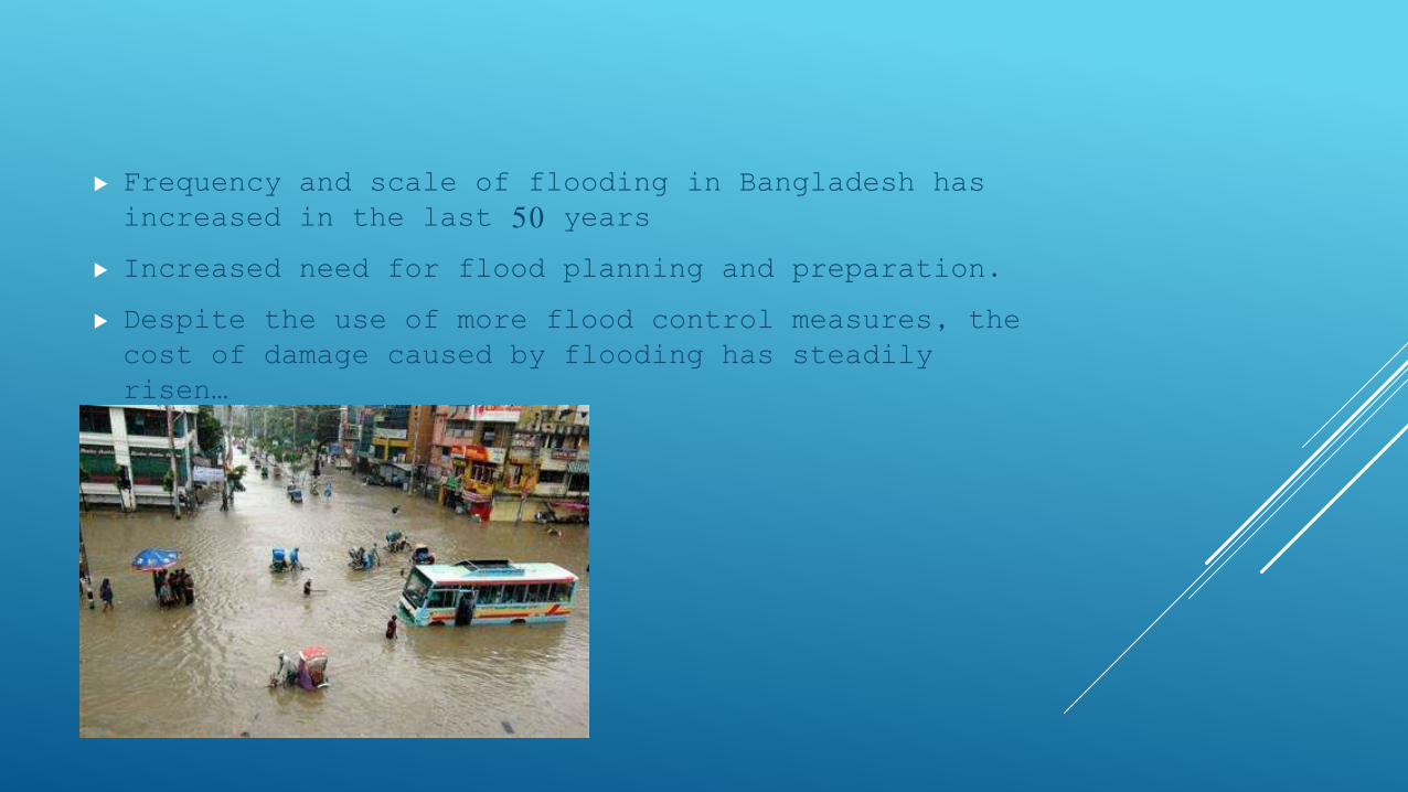
Frequency and scale of flooding in Bangladesh has increased in the last 50 years
Increased need for flood planning and preparation.
Despite the use of more flood control measures, the cost of damage caused by flooding has steadily risen…
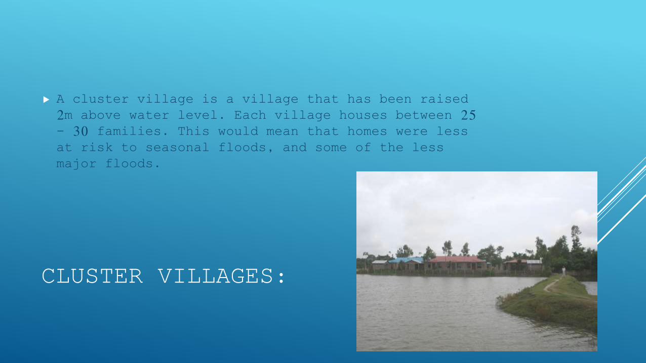
CLUSTER VILLAGES:
A cluster village is a village that has been raised 2m above water level. Each village houses between 25 - 30 families. This would mean that homes were less at risk to seasonal floods, and some of the less major floods.
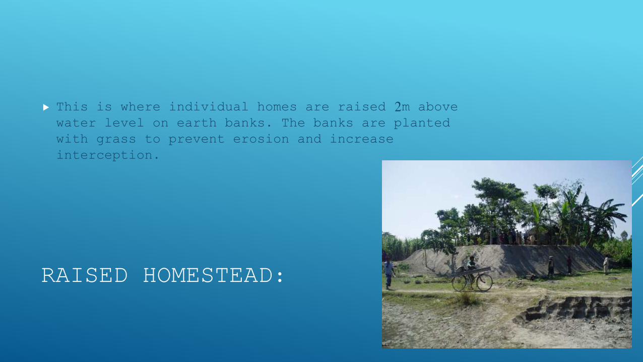
RAISED HOMESTEAD:
This is where individual homes are raised 2m above water level on earth banks. The banks are planted with grass to prevent erosion and increase interception.
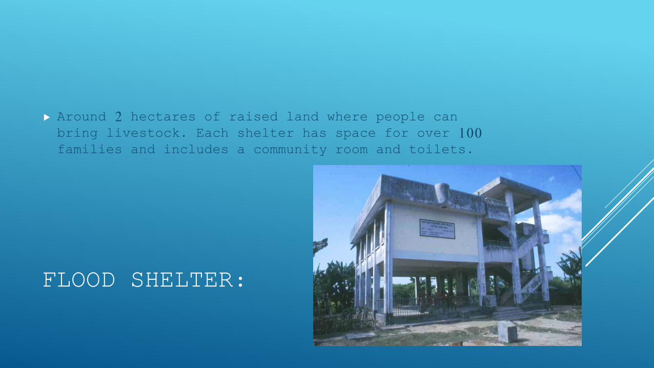
FLOOD SHELTER:
Around 2 hectares of raised land where people can bring livestock. Each shelter has space for over 100 families and includes a community room and toilets.
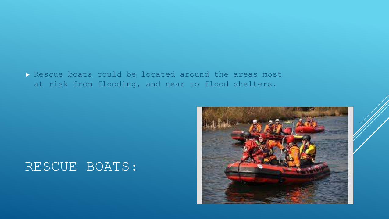
RESCUE BOATS:
Rescue boats could be located around the areas most at risk from flooding, and near to flood shelters.
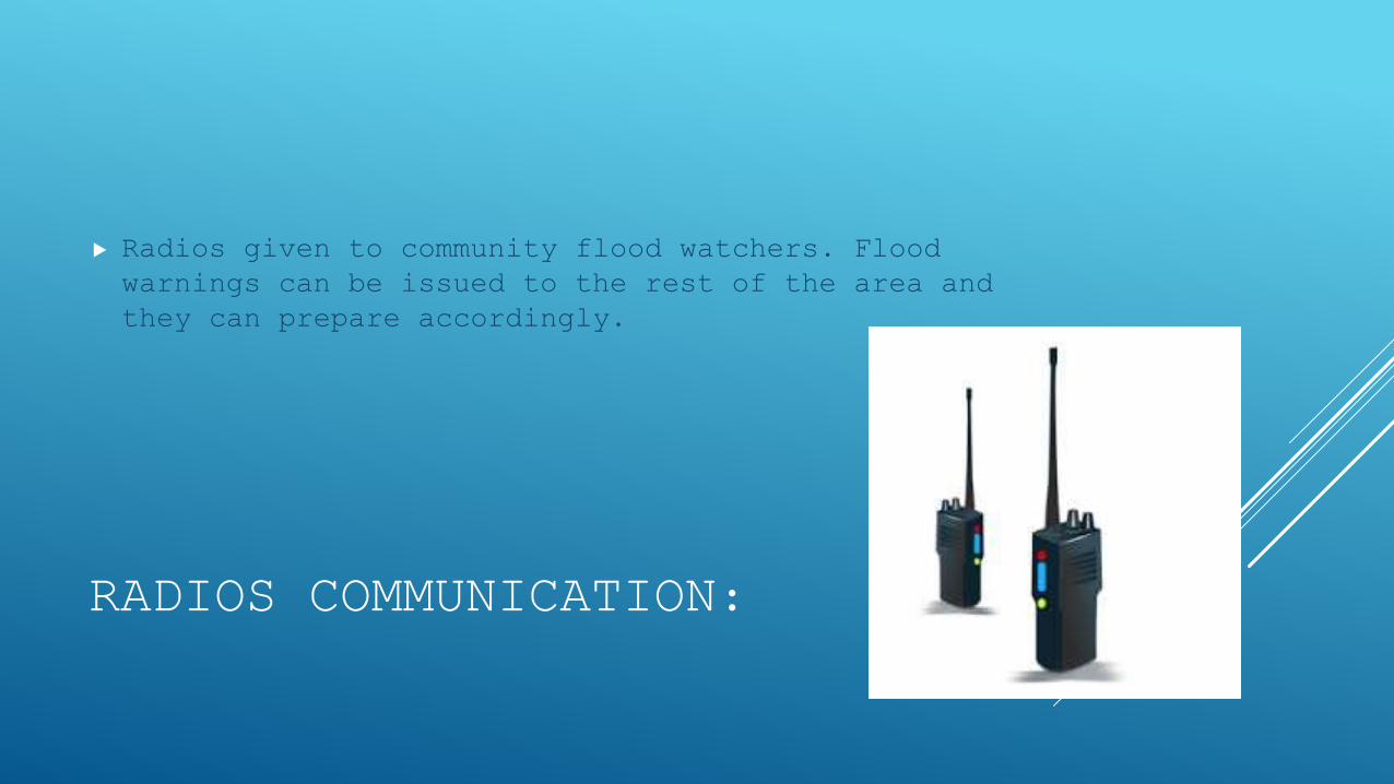
RADIOS COMMUNICATION:
Radios given to community flood watchers. Flood warnings can be issued to the rest of the area and they can prepare accordingly.