Embed Size (px)
Citation preview
DEVELOPING A WEATHER FORECASTING WEB-SERVICE USING ARCGIS FOR SERVER AND ARCGIS API FOR JAVASCRIPTBy: Alexa Guertin
OUTLINE• Who are The Applied Geomatics Research Group (AGRG)
• LiDAR Acquisition and Uses• Project Purpose• Methods:
• Web Programming• Weather Forecasting Data
• Demo• Goals Accomplished• Future Possibilities• Acknowledgements
APPLIED GEOMATICS RESEARCH GROUP
• Collaborative team of Research Scientists and Associates, and Graduate Students• Research Specialization Include:
• Flood risk mapping• Microclimate and agriculture• Vegetation canopy• Air quality monitoring• Hydrology and river flooding• Atlantic coastal plain flora• Wetlands mapping and forest practices• Health GIS applications• Atlas of sustainable development• Modeling coastal processes
LIDAR
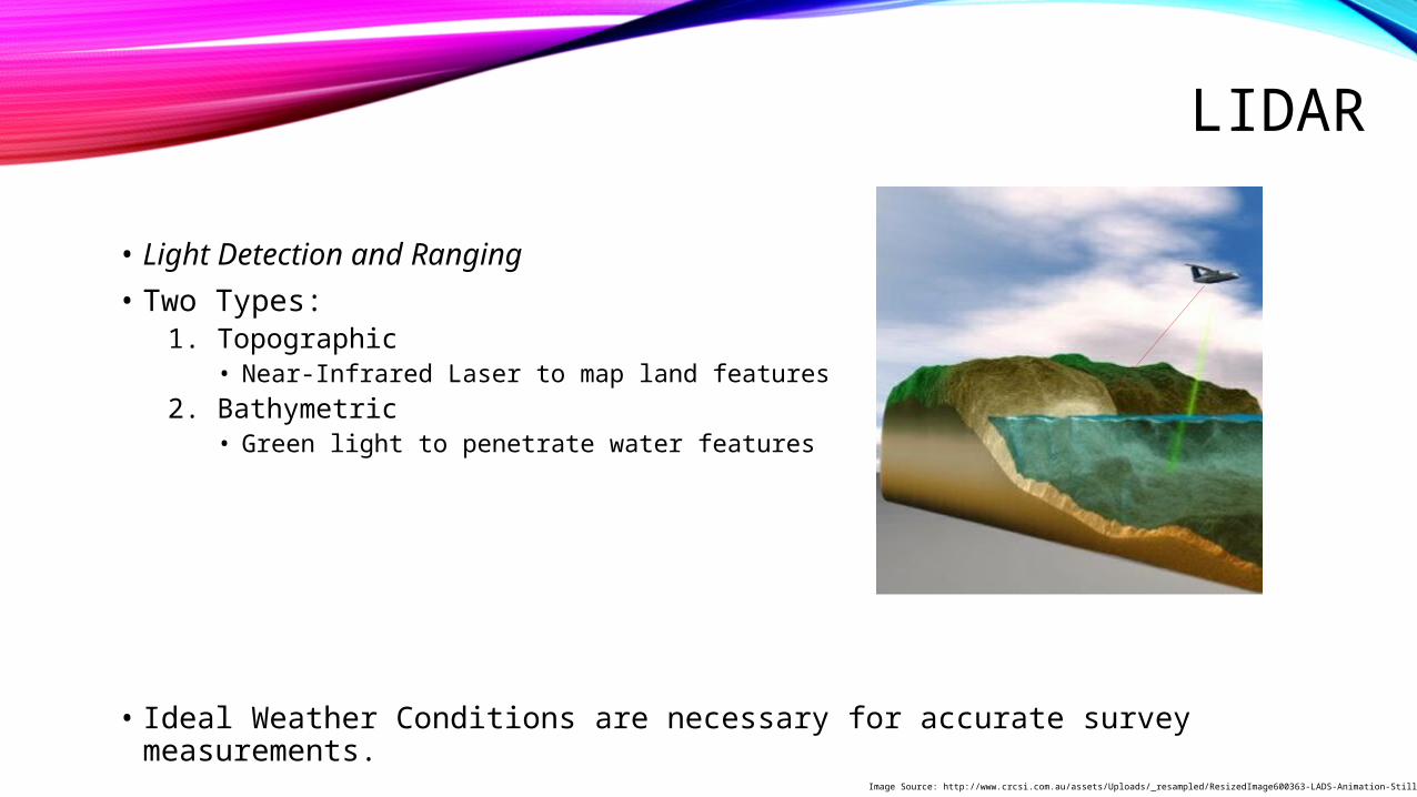
• Light Detection and Ranging• Two Types:
1. Topographic• Near-Infrared Laser to map land features
2. Bathymetric• Green light to penetrate water features
• Ideal Weather Conditions are necessary for accurate survey measurements.Image Source: http://www.crcsi.com.au/assets/Uploads/_resampled/ResizedImage600363-LADS-Animation-Still-v3.jpg
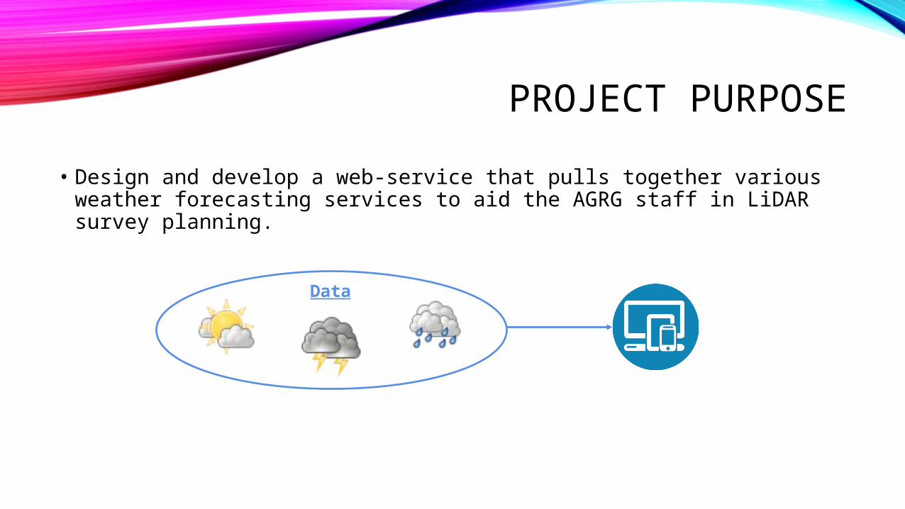
PROJECT PURPOSE• Design and develop a web-service that pulls together various weather
forecasting services to aid the AGRG staff in LiDAR survey planning.
Data
METHODS
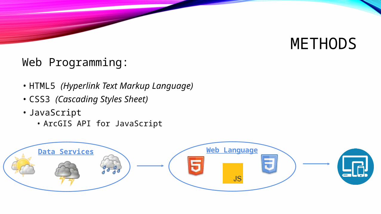
• HTML5 (Hyperlink Text Markup Language)• CSS3 (Cascading Styles Sheet)• JavaScript
• ArcGIS API for JavaScript
Web Programming:
Data Services Web Language
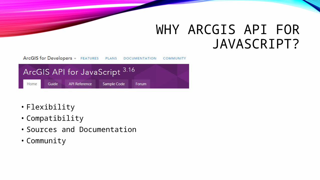
WHY ARCGIS API FOR JAVASCRIPT?
• Flexibility• Compatibility• Sources and Documentation• Community
DATA SOURCES• Weather Underground Forecast Stations (Python Script and Data Fetching)• Environment Canada Weather Station Services (Map Service)• Environment Canada Weather Radar (Image Service)• Weather Underground Radar API (GitHub)
WEATHER UNDERGROUND FORECAST STATIONS (PYTHON SCRIPT AND DATA FETCHING)
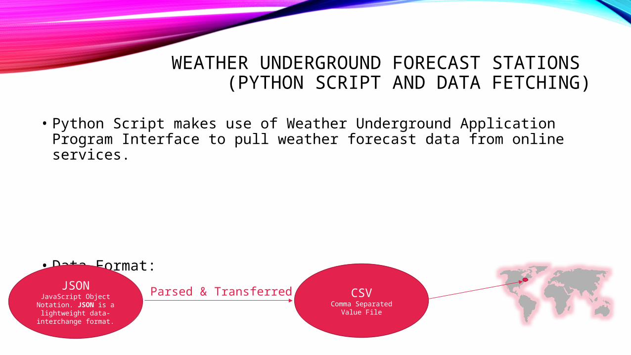
• Python Script makes use of Weather Underground Application Program Interface to pull weather forecast data from online services.
• Data Format:
JSONJavaScript Object
Notation. JSON is a lightweight data-
interchange format.
Parsed & Transferred CSVComma Separated Value
File
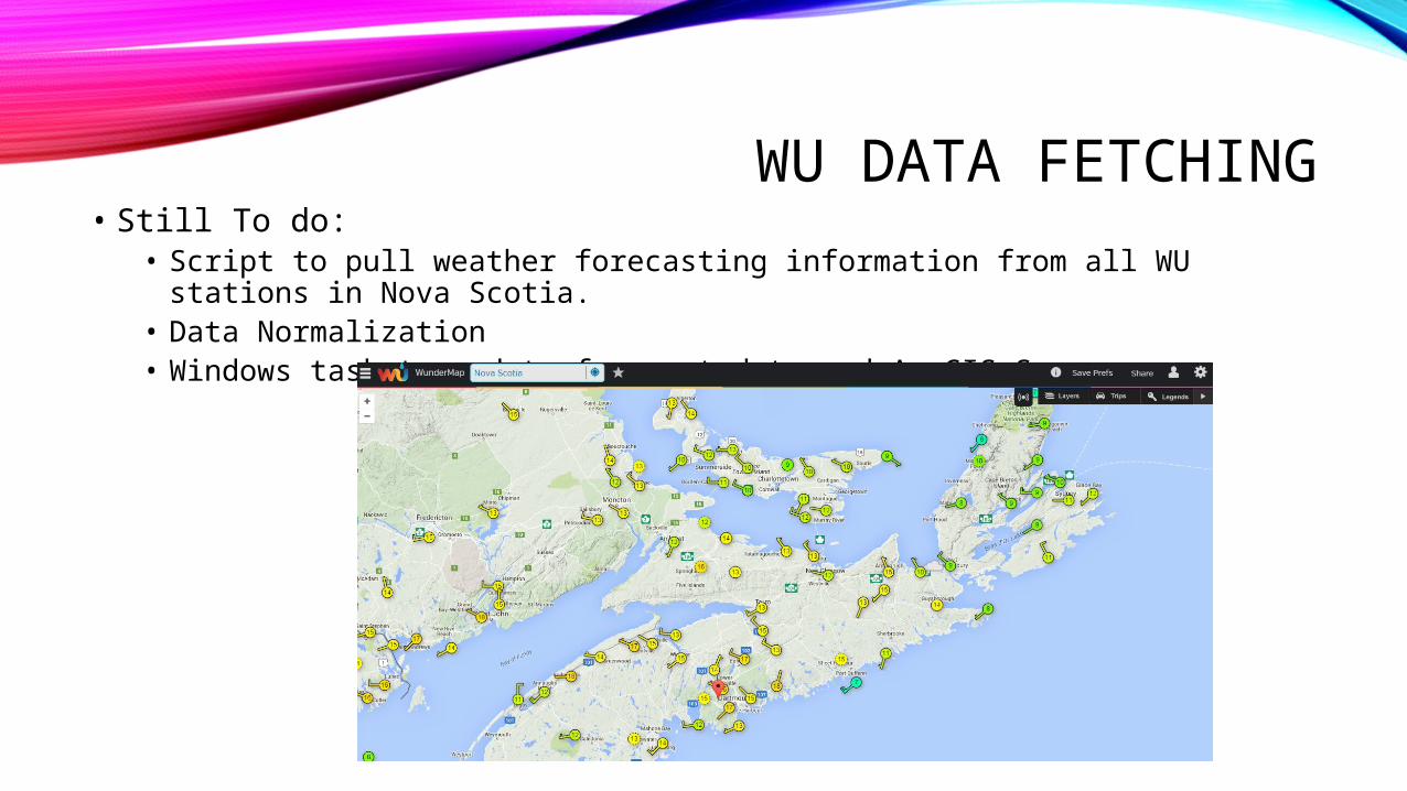
WU DATA FETCHING• Still To do:
• Script to pull weather forecasting information from all WU stations in Nova Scotia.
• Data Normalization• Windows task to update forecast data and ArcGIS Server.
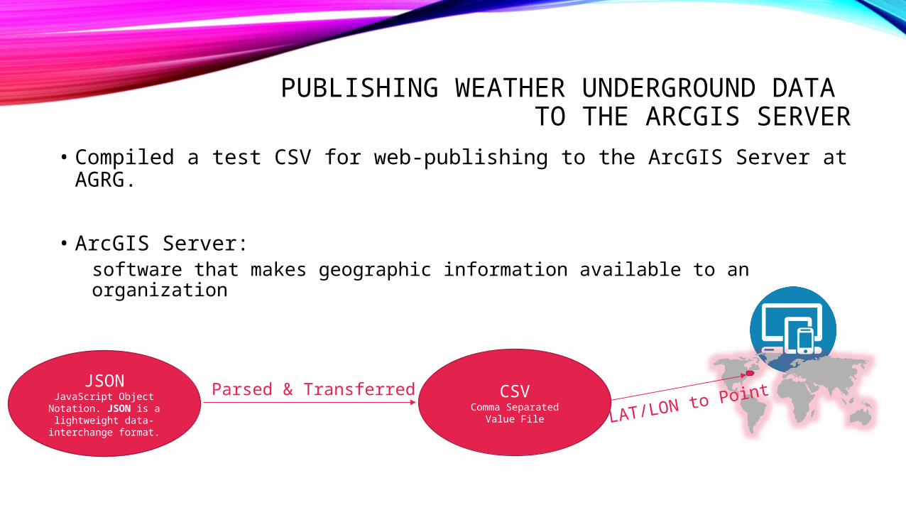
PUBLISHING WEATHER UNDERGROUND DATA TO THE ARCGIS SERVER
• Compiled a test CSV for web-publishing to the ArcGIS Server at AGRG.
• ArcGIS Server: software that makes geographic information available to an organization
JSONJavaScript Object
Notation. JSON is a lightweight data-
interchange format.
Parsed & Transferred CSVComma Separated Value
File LAT/LON to Point
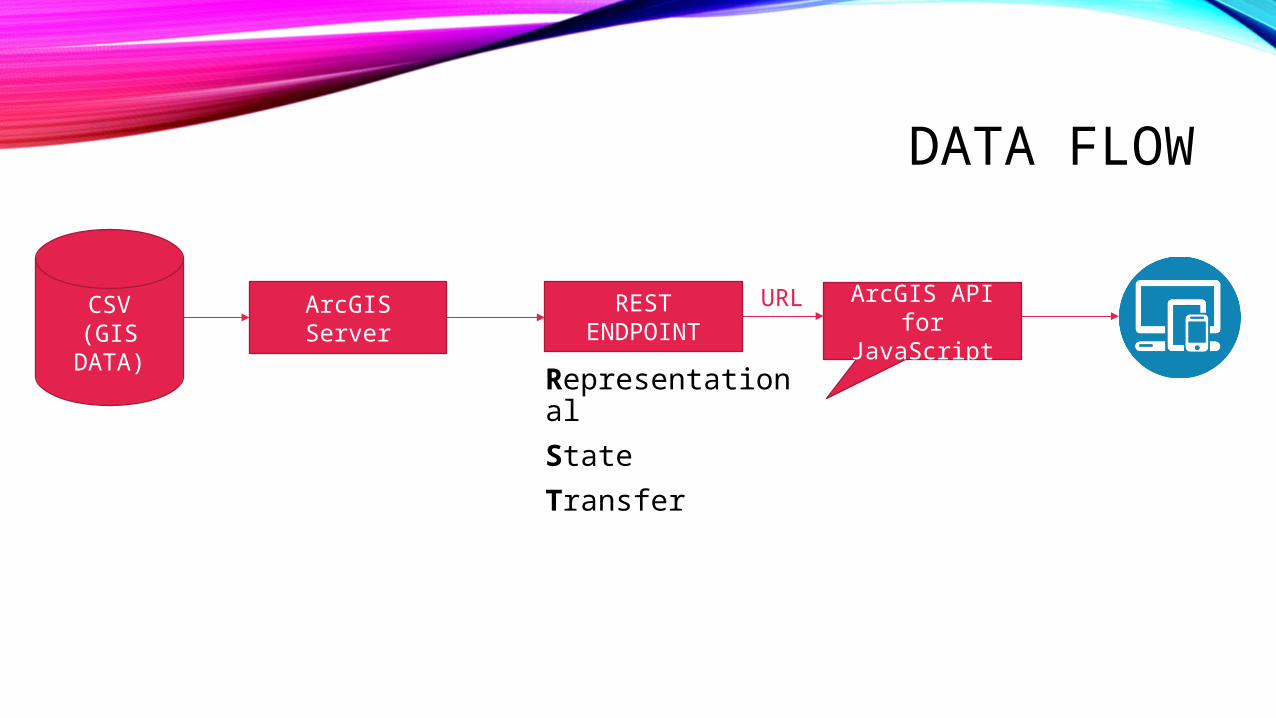
DATA FLOW
RepresentationalState Transfer
CSV(GIS
DATA)ArcGIS Server REST
ENDPOINTArcGIS API for
JavaScriptURL
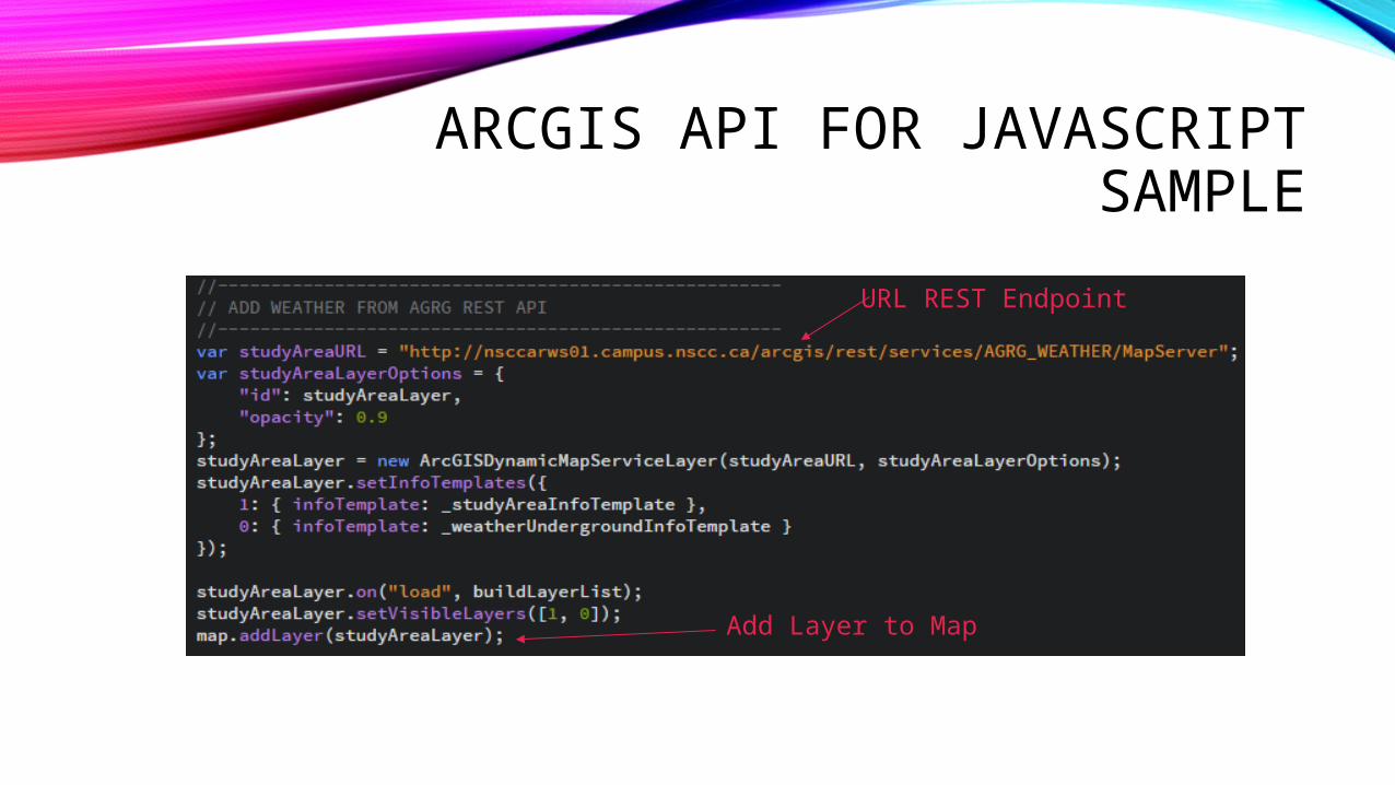
ARCGIS API FOR JAVASCRIPT SAMPLE
URL REST Endpoint
Add Layer to Map
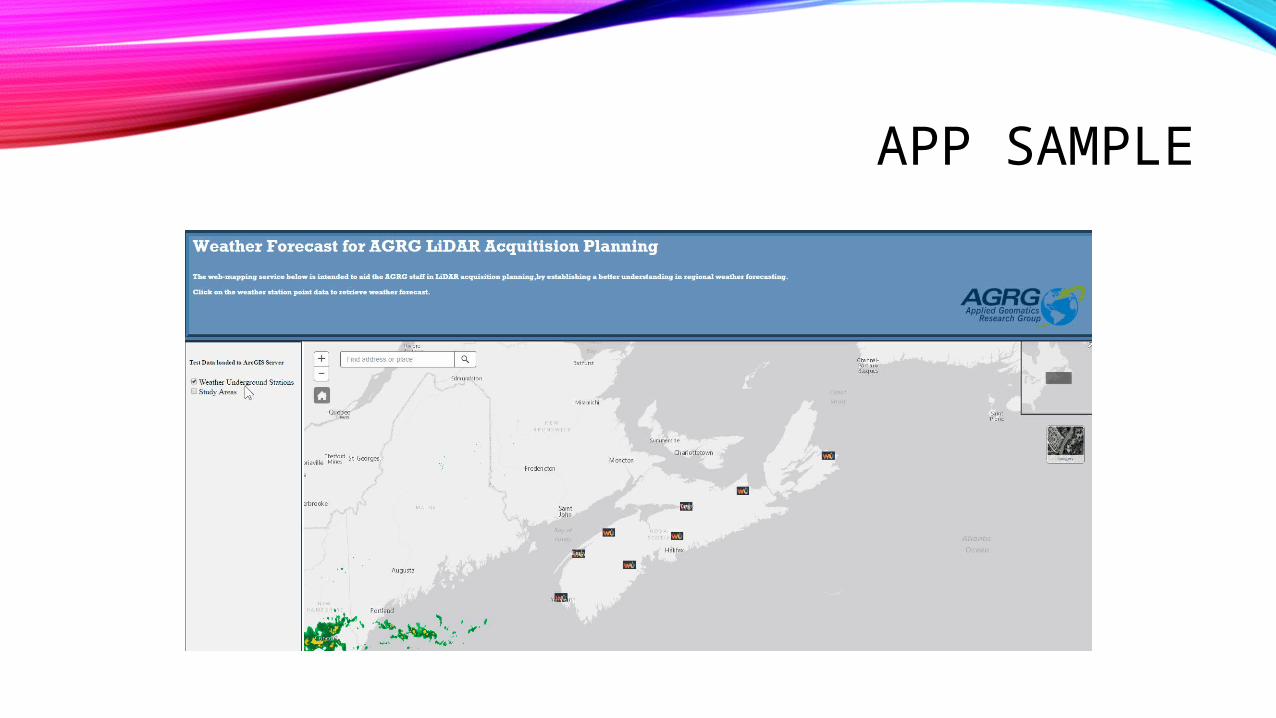
APP SAMPLE
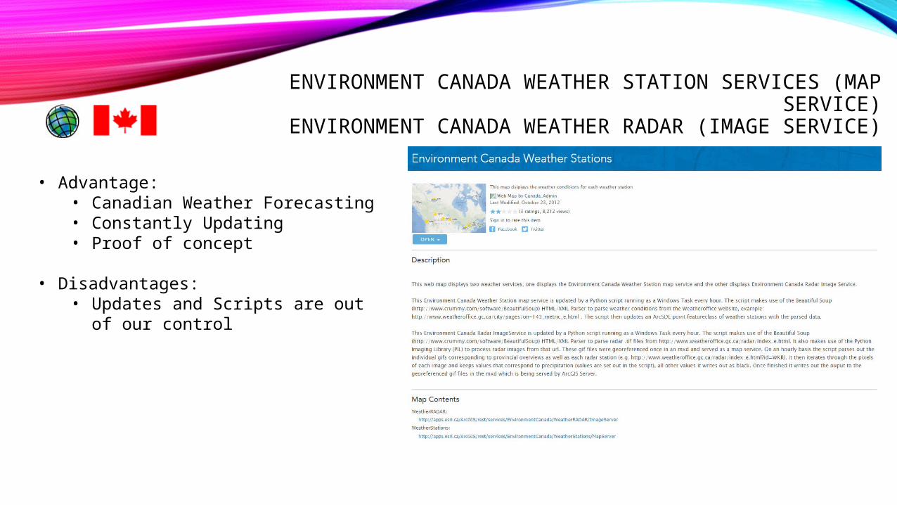
ENVIRONMENT CANADA WEATHER STATION SERVICES (MAP SERVICE)
ENVIRONMENT CANADA WEATHER RADAR (IMAGE SERVICE)
• Advantage:• Canadian Weather Forecasting• Constantly Updating• Proof of concept
• Disadvantages:• Updates and Scripts are out of our
control
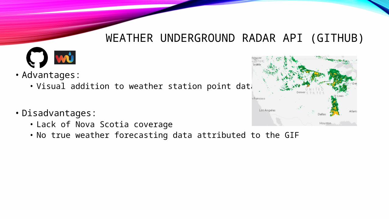
WEATHER UNDERGROUND RADAR API (GITHUB)
• Advantages:• Visual addition to weather station point data
• Disadvantages:• Lack of Nova Scotia coverage• No true weather forecasting data attributed to the GIF
FUTURE POSSIBILITIES• Continue to develop Python script for ArcGIS Server publishing and
automated updates. • Data analysis to determine ideal LiDAR acquisition times
• Additional API’s• Twitter Updates from Environment Canada (Weather Warnings)
• Multi-purpose application• Survey Planning• Weather Forecasting
REFLECTIONGoals Accomplished:• Connection between AGRG’s weather forecast data download.
• Proof of Concept Potential for Success
• API Connections from multiple sources
ACKNOWLEDGEMENTS• Alastair MacDonald – Data Download
• Applied Geomatics Research Group Staff• Mentor: David Kristiansen• Technical Assistance: Nathan Kendall• Supervisor: Candace MacDonald
• COGS Faculty:• David MacLean for Project Panning Advice• Kathleen Stewart for Web Development Courses