Embed Size (px)
Citation preview

GE 152: Reference Systems and Reference Frames Lecture 2 – 2nd Semester 2013-2014
Lecturer: Sheryl Rose C. Reyes Department of Geodetic Engineering

A Reference System is a set of prescriptions and conventions together with modeling required to define at any time a triad of coordinate axes
A Reference Frame realizes the system by
means of coordinates of definite points that are accessible directly by occupation or by observation
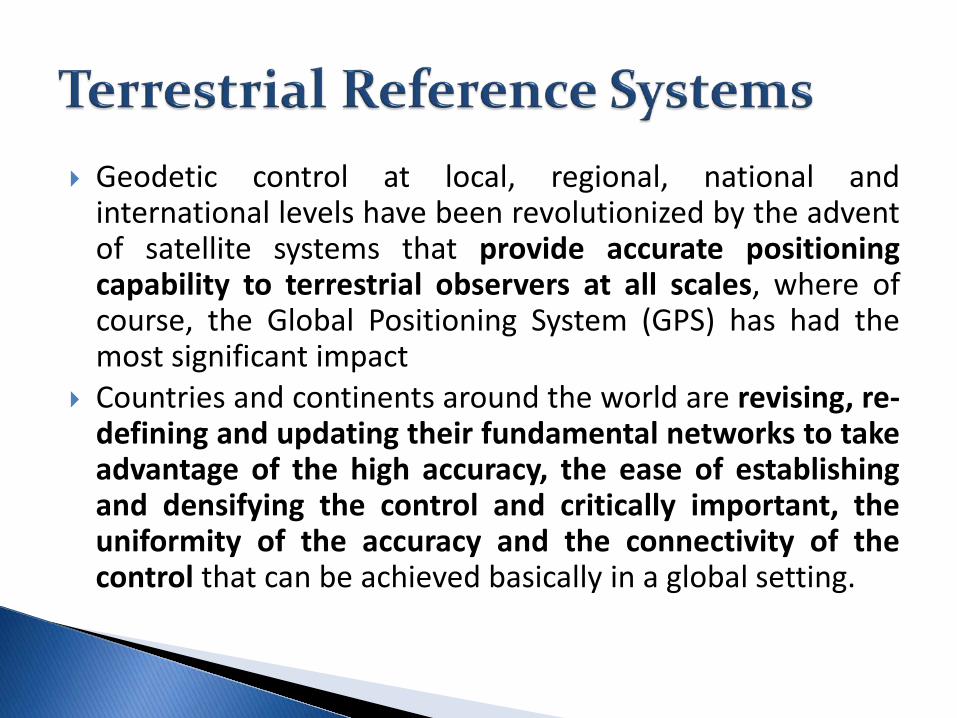
Geodetic control at local, regional, national and international levels have been revolutionized by the advent of satellite systems that provide accurate positioning capability to terrestrial observers at all scales, where of course, the Global Positioning System (GPS) has had the most significant impact
Countries and continents around the world are revising, re-defining and updating their fundamental networks to take advantage of the high accuracy, the ease of establishing and densifying the control and critically important, the uniformity of the accuracy and the connectivity of the control that can be achieved basically in a global setting.

NGS (1986): A set of constants specifying the coordinate system used for geodetic control, i.e., for calculating coordinates of points on the Earth. Torge (1991): Defines the orientation of a conventional [coordinate] system with respect to the global X,Y,Z- system and hence with respect to the body of the Earth Moritz (1978): A geodetic datum is usually defined in terms of five parameters… Ewing and Mitchell (1970): A geodetic datum is comprised of an ellipsoid of revolution fixed in some manner to the physical Earth

A Geodetic Datum is a set of parameters and constants that defines a coordinate system, including its origin and (where appropriate) its orientation and scale, in such a way as to make these accessible to geodetic applications. (Jekeli, 2006)
Note: Conceptually, the geodetic datum defines a coordinate system, but once the parameters that constitute a particular datum are specified, it takes on the definition of a frame

A horizontal geodetic datum is a geodetic datum for horizontal geodetic control in which points are mapped onto a specified ellipsoid
A vertical geodetic datum is a geodetic datum for vertical geodetic control in which points are mapped to the geopotential
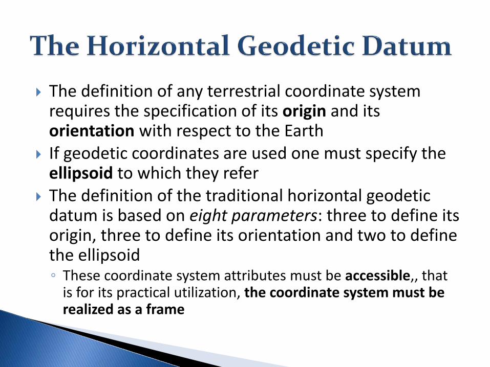
The definition of any terrestrial coordinate system requires the specification of its origin and its orientation with respect to the Earth
If geodetic coordinates are used one must specify the ellipsoid to which they refer
The definition of the traditional horizontal geodetic datum is based on eight parameters: three to define its origin, three to define its orientation and two to define the ellipsoid ◦ These coordinate system attributes must be accessible,, that
is for its practical utilization, the coordinate system must be realized as a frame

The origin could be defined by identifying the point (0,0,0) of the coordinate system with the center of mass of the Earth ◦ Prior to the emergence of artificial satellites, this
origin is not accessible ◦ The ellipsoid thus positioned relative to the Earth
rarely “fit” the region in which geodetic control was to be established

The alternative definition of the “origin” places the ellipsoid with respect to the Earth such that a specific point on the Earth’s surface has given (i.e. specified or defined) geodetic coordinates
This datum origin point, also call the initial datum point, is then obviously accessible – it is a monumented marker on the Earth

The Datum Origin Point


The coordinates (𝜙𝜙0, 𝜆𝜆0,ℎ0), of the origin point can be chosen arbitrarily, but usually they are determined under an imposed additional condition that the separation between the ellipsoid and the geoid in the particular should be minimized:
Where 𝐻𝐻0 is the height of the origin above the geoid (the orthometric height); this is a measurable quantity, again defined by nature
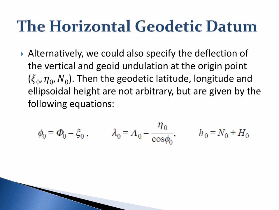
Alternatively, we could also specify the deflection of the vertical and geoid undulation at the origin point (𝜉𝜉0, 𝜂𝜂0,𝑁𝑁0). Then the geodetic latitude, longitude and ellipsoidal height are not arbitrary, but are given by the following equations:

Geoid undulation, 𝑵𝑵𝟎𝟎, at the origin point in general

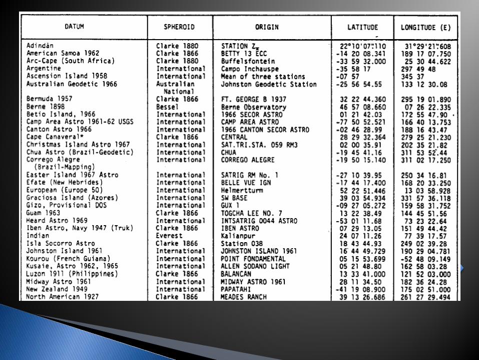
The horizontal geodetic datum as a reference system is defined as a system of coordinates referring to an ellipsoid whose origin is fixed to the Earth in some prescribed way (e.g., by “attaching” the ellipsoid to a monument on the Earth’s surface) and whose orientation is defined with respect to the astronomic system
The datum as reference frame is realized by specifying the two ellipsoid parameters (shape and scale), the three origin point coordinates and the three orientation parameters


A vertical datum, like a horizontal datum, requires an origin, but being one-dimensional, there is no orientation; and the scale is inherent in the measuring apparatus (leveling rods)
The origin is a point on the Earth’s surface where the height is a defined value (e.g., zero height at a coastal tide-gauge station)
Traditionally, a point at mean sea level served as origin point, but is not important what the absolute gravity potential is at this point, since one is interested only in height differences

Two vertical datums with respect to mean sea level

The heights that are measured and belong to a particular vertical datum are defined by differences in gravity potential with respect to the origin point
The most natural height is the orthometric height, 𝑯𝑯, defined as the distance along the (curved) plumb line from the level surface through the datum origin to the point being observed

where 𝑁𝑁 is the distance from the ellipsoid to the level surface through the origin point. This is the geoid undulation only if the geoid passes through the origin point. Otherwise, it is the geoid undulation plus the offset of the geoid from the origin point
National Geodetic Vertical Datum of 1929 (NGVD 29) – US and Canada until the 1980s
North American Vertical Datum of 1988 (NAVD88) – US, Canada, Mexico since 1988

Jekeli, Christopher. "Geometric reference systems in
geodesy." Report, Division of Geodesy and Geospatial Science, School of Earth Sciences, Ohio State University (2006).