Embed Size (px)
Citation preview
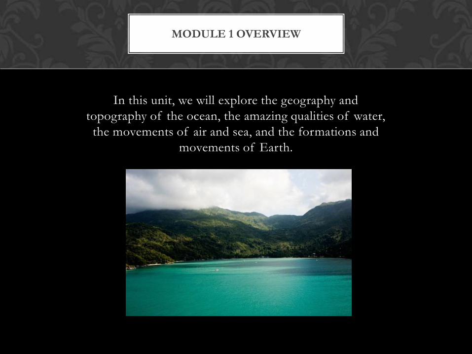
In this unit, we will explore the geography and
topography of the ocean, the amazing qualities of water,
the movements of air and sea, and the formations and
movements of Earth.
MODULE 1 OVERVIEW

Question for students: Does science change or does our interpretation of the data change?
When this textbook was written, there were 4 oceans. Many of you will already be familiar with the fact that oceanographers have now delineated a fifth ocean.
Please read about why some scientists today, felt that this ocean was indeed separate from the Pacific and Atlantic Oceans and answer the questions on the eLC:
Link: http://geography.about.com/od/learnabouttheearth/a/fifthocean.htm
Please print the page in the link below, label the oceans correctly, and bring this in your homework notebook:
Link: http://members.enchantedlearning.com/geography/label/labeloceans.shtml
THE GEOGRAPHY OF THE
OCEANS

The ocean floor has 4 major areas:
1. The Continental Shelf
2. The Continental Slope
3. The Continental Rise
4. Abyssal Plain
There are also some rather unique features like sea mounts and guyots. Please read the article in the link below: (You may need to copy & paste this link if it
doesn’t appear in your browser)
http://www.pass.leon.k12.fl.us/All%20Books/7a%20MS%20SB%20Unit%207%20159-168.pdf
Please print the last two pages, label the ocean floor on 167 and answer the questions on page 168
TOPOGRAPHY OF THE OCEAN
FLOOR

CONTINENTAL DRIFT
A few hundred years ago as
cartographers began to map
the continents and see what
appeared to be continental
puzzle pieces, scientists began
to believe that at one time the
continents had been one large
super continent, Pangaea,
that had broken apart and
spread.

PLATE TECTONICS THEORY
Because we have no written accountof this occurrence, the challenge forscientists is to discover themechanism and causation of thismovement in the earth's crust. Thisprocess is now best known as platetectonics. Click on this link to see aquick video about plate tectonics:(**On the left side of the link click onEARTH SCIENCE MUTLIMEDIAand on the right click on PLATETECTONICS then at the bottomclick on the (+) Maximize button)
http://www.hippocampus.org/Earth%20Science

CATASTROPHIC PLATE TECTONIC
THEORY
Read these articles and then participate in the forum on the eLC.
http://www.icr.org/article/78/
http://www.answersingenesis.org/articles/nab/catastrophic-plate-tectonics

Here if Florida we know all about waves!
(For you surfers – best waves Are at Bethune beach!)
Here is a great multimedia presentation on waves: To access, on your left screen click on “Earth Science MultiMedia & on the Right, scroll down and click on NOAA: Waves , then click on
the (+) maximize button:
http://www.hippocampus.org/Earth%20Science;jsessionid=2342D588F360B0A5C05C5852A6A4A578
Here are two great interactive activities about waves: Catch a Wave & Measure a Wave. (You may need to copy & paste this
link)
http://www.montereyinstitute.org/courses/Environmental%20Science/course%20files/multimedia/noaa/lesson09/l9la1.htm
WAVES

We all remember the devastation a few years back from the tsunami in
the pacific. Here is a great multimedia presentation on tsunamis.
(You may need to copy & paste this link.)
Answer the critical questions at the end and check your answers for class
discussion.
TSUNAMIS
http://www.montereyinstitute.org/courses/Environmental%20Science/course%20files/mul
timedia/noaa/lesson09/l9la2.htm

The tides are also something that we are very familiar with in Florida.
This is a multimedia presentation on tides:
Here is a great multimedia presentation on waves:
(To access, click on the link. On your left screen click on “Earth Science MultiMedia” & on the
Right, scroll down and click on “NOAA: Tides” then click on the (+) Maximize button on the
bottom)
http://www.hippocampus.org/Earth%20Science
TIDES
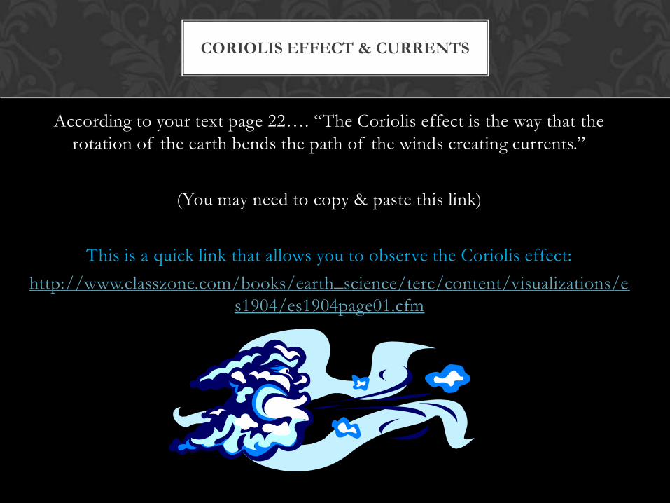
According to your text page 22…. “The Coriolis effect is the way that the
rotation of the earth bends the path of the winds creating currents.”
(You may need to copy & paste this link)
This is a quick link that allows you to observe the Coriolis effect:
http://www.classzone.com/books/earth_science/terc/content/visualizations/e
s1904/es1904page01.cfm
CORIOLIS EFFECT & CURRENTS

But a more important question for you is….what does it do to
a ship’s cannon fire? Find out:
Really cool animations. Complete all 3 activities
(You may need to copy & paste the link)
http://weather.about.com/gi/o.htm?zi=1/XJ&zTi=1&sdn=w
eather&cdn=education&tm=9&gps=408_252_1362_552&f=1
0&su=p284.13.342.ip_&tt=3&bt=1&bts=1&zu=http%3A//w
ww.uwf.edu/atc/projects/coriolis/main.swf
This last link will take just a minute or so. This link offers a
hands-on activity to experiment with wind & ocean currents:
http://oceanservice.noaa.gov/education/pd/oceans_weather_
climate/media/ocean_and_wind_currents.swf
CORIOLIS EFFECT & CURRENTS

You may desire to print out & hole punch your class notes outline. This outlines will help you take notes in class and will along with your study guide
be the best preparation for your Module 1 exam.
Please also double check your class supplies: notebook paper, pencil/pen, homework file, textbook, colored pencils.
Your homework file to bring to class 2 should include:
Your world oceans print out with all 5 oceans labeled.
The last two sheets on the Topography link printed out and answered
The lab sheet for your in class experiment on week 2 (Lab 1.3)
In addition you should bring:
Your marked bottle from experiment 1.2
Your ocean salts from experiment 1.1
HOMEWORK TO BRING TO CLASS