Embed Size (px)
Citation preview

RGS-IBG support for GIS and other resources
Judith Mansell
Education Officer
18.11.09

Slide title
First level bullet Second level
• Third level• Fourth level
• Fifth level

Slide title
First level bulletSecond level
• Third level• Fourth level
• Fifth level

Slide title
First level bullet Second level
• Third level• Fourth level
• Fifth level

Slide title

Slide title


Free resources for teachingSoftware Mostly web-based Sample materials from providers Some are demonstrators some can be
manipulatedData Own collection OS data Census data Local authority sites

sourcesWhat its best for Not so good at…..
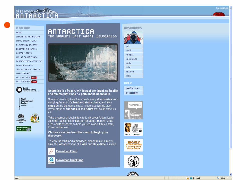
Go to the “Get-a-map” section to get a free section on an OS map anywhere (England, Wales, Scotland) down to 1;25,000 scale. Also searchable by postcode. Good for project work. Individual copies permitted.
Map coverage at larger scales (!:50,000 and 1:25,000) is restricted to a few square km.
Coverage of most major countries. Ability to overlay map information on to an air photo of a selected area. Also gives latitude and longitude.
Resolution of detail is poor at large scales, especially in rural areas.Lots of adverts on the site.
Maps are very much focused towards being an electronic street map. Roads clearly marked and easy to read. Range of search options.
No one way system details.Heavy on adverts in the top and side frames of the web page.
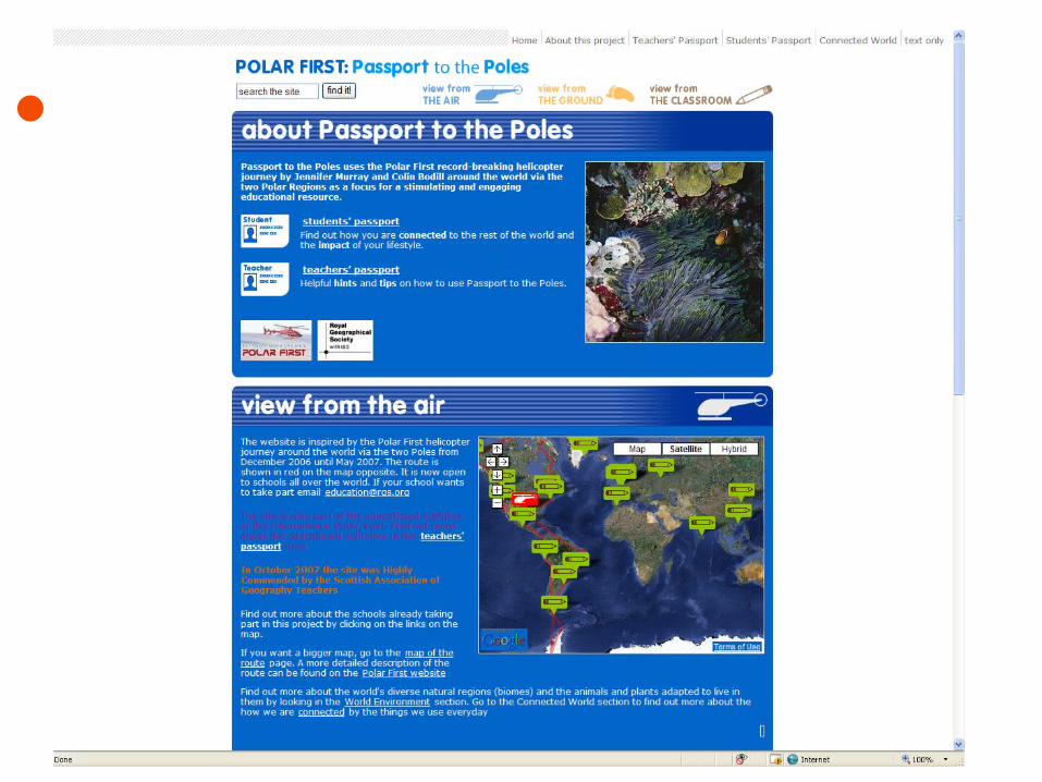
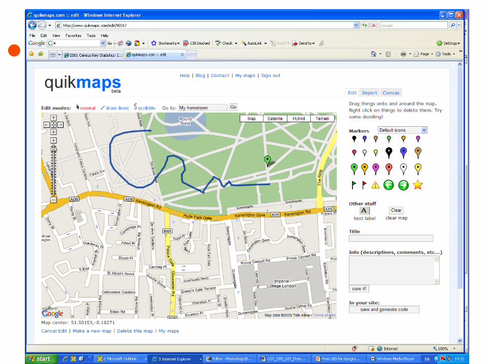
http://local.google.co.uk/ has a range of local maps which are good at street level. A clever feature is the ability to search for particular shops, e.g. banks which are then shown on the map.
Detail best in urban areas, no contours, few boundaries etc. Satellite imagery resolution is questionable for much of the UK, especially in rural areas.
Looking at world atlas maps – small scale maps, but lots of coverage. Also has a good little country summary, including ‘ current environmental issues’ which is quite quirky.
Fairly heavy on adverts and sponsored links. Strong US bias. Can be tricky to navigate to the map you are interested in.
The ‘About Geography’ website http://geography.about.com/ has lots of good map resources, including free outline maps of countries of the world.
Lots of adverts clutter the site – this can make it tricky to navigate and find exactly what you are looking for. There are also lots of ‘sponsored links’ which you should avoid.
This site specialises in free downloads of old maps from around 120 years ago. Easy search system and maps are fully scalable. Seems to have full coverage of most of Britain.
The resolution of the maps is not so great, especially at large scale. Sometimes, its also difficult to match locations on old and new maps – best to use roads as guides.

Framework for GIS progression Presenting spatial data Processing and analysing spatial data Data input and editing of spatial data
The GEOGRAPHY is the most important part of the process not the technical wizardry of the GIS used


http://www.ordnancesurvey.co.uk/oswebsite/getamap/


Training Face to face twilight sessions at the
RGS-IBG in London Regional network training sessions Online tutorials