Embed Size (px)
Citation preview
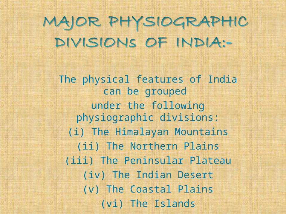
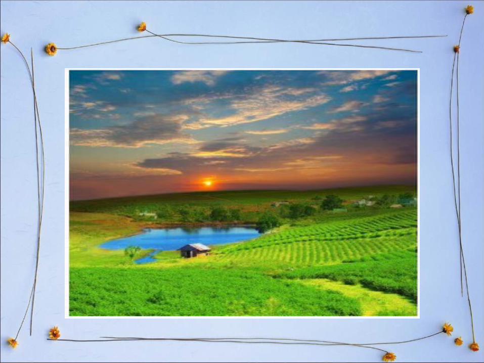
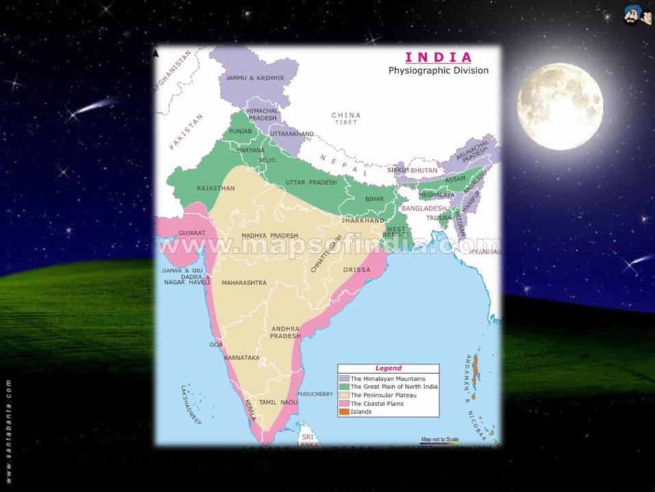
The physical features of India can be grouped
under the following physiographic divisions:
(i) The Himalayan Mountains(ii) The Northern Plains
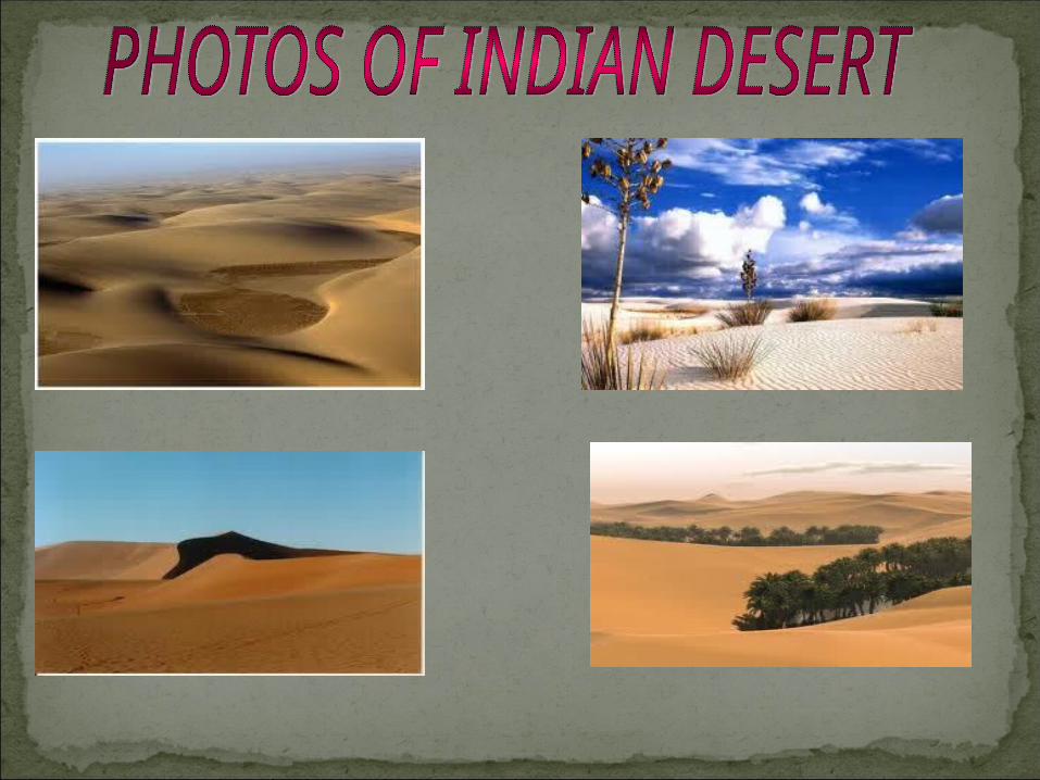
(iii) The Peninsular Plateau(iv) The Indian Desert(v) The Coastal Plains
(vi) The Islands
(i) THE HIMALAYAN MOUNTAIN:- • The Himalayan ranges contain several high
peaks. Mount Everest is the highest peak in the world.
• The Himalayan Mountains stretch in a long curve from Jammu and Kashmir in the west to Arunachal Pradesh in the east.
• Their length is about 2000 kilometers and width between 230 and 400 kilometers.
The Himalayas are quite useful to us. The advantages are as
follows:- High mountain ranges and peaks act as a barrier for enemies and so
play a great role in the Defence of India.
The Himalayas protect the country against the cold winds blowing from Siberia through Central Asia.
The Himalayas check rain bearing wind and cause heavy rainfall. The eastern part of the mountain prevents the monsoon clouds from escaping northwards out of India. This causes rain in the whole of northern India.
There are dense forests up to an altitude of 1500 meters. Different types of trees, bushes and wild animals are found in these forests.
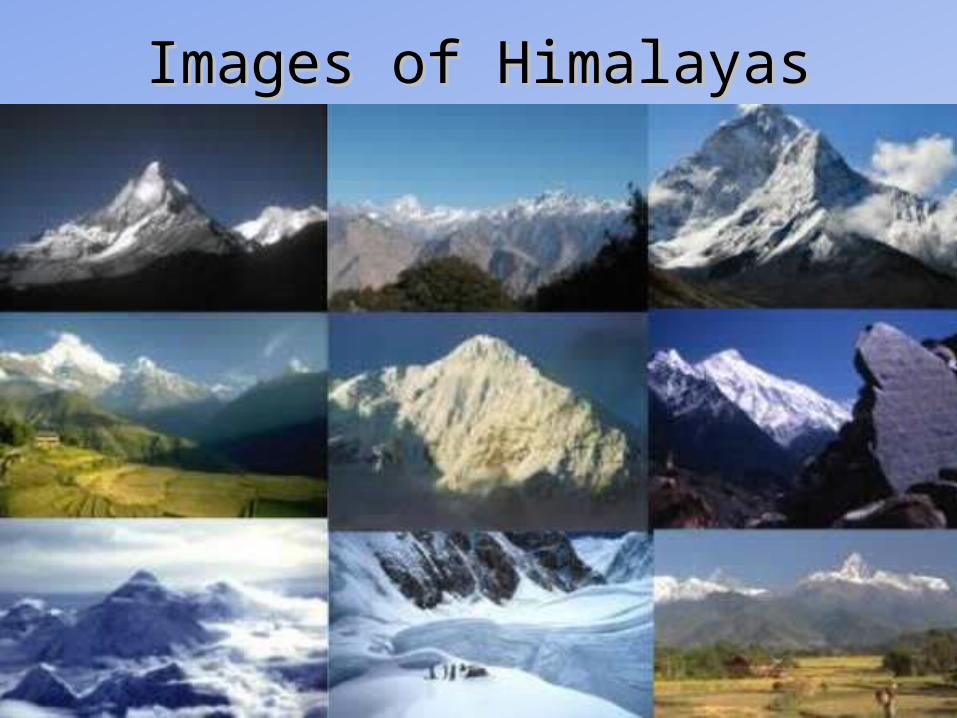
Images of HimalayasImages of Himalayas
THREE MAIN RANGES OF HIMALAYA
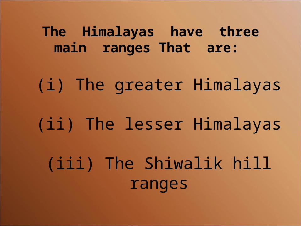
The Himalayas have three main ranges That are:
(i) The greater Himalayas
(ii) The lesser Himalayas
(iii) The Shiwalik hill ranges
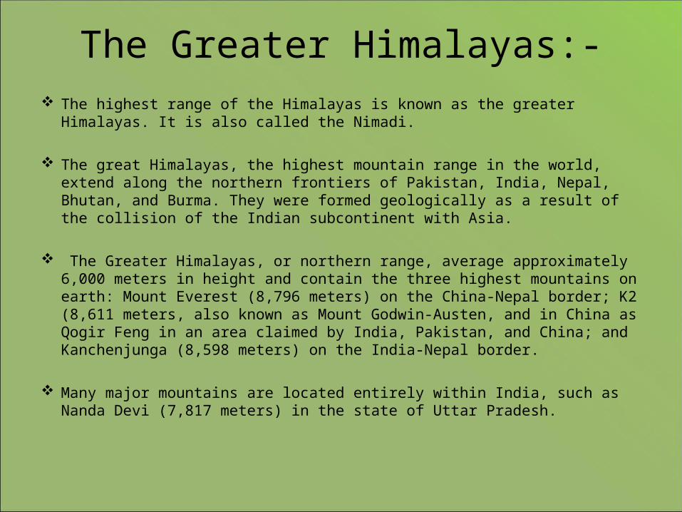
The Greater Himalayas:- The highest range of the Himalayas is known as the greater Himalayas. It is also
called the Nimadi.
The great Himalayas, the highest mountain range in the world, extend along the northern frontiers of Pakistan, India, Nepal, Bhutan, and Burma. They were formed geologically as a result of the collision of the Indian subcontinent with Asia.
The Greater Himalayas, or northern range, average approximately 6,000 meters in height and contain the three highest mountains on earth: Mount Everest (8,796 meters) on the China-Nepal border; K2 (8,611 meters, also known as Mount Godwin-Austen, and in China as Qogir Feng in an area claimed by India, Pakistan, and China; and Kanchenjunga (8,598 meters) on the India-Nepal border.
Many major mountains are located entirely within India, such as Nanda Devi (7,817 meters) in the state of Uttar Pradesh.
Importance of Greater Himalayas:-
The wetlands of the greater Himalayan region such as lakes, marshes, peat lands and rivers provide important ecological functions and services to sustain livelihoods.
River flow regimes and quality of ten major rivers of Asia namely Amu Darya , Indus, Ganges, Brahmaputra, Irrawaddy, Salween, Mekong, Yellow and Yangtze are to a large extent determined by these wetlands, in turn affecting water resources in more populous and agriculturally/industrially valuable areas downstream.
Furthermore climate change and variability will dramatically affect these wetlands and the provision of their services as it will change the water cycle on which these wetlands depend. This will in many cases magnify the effects of other threats.
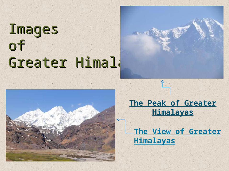
Images Images of of Greater HimalayaGreater HimalayaThe Peak of Greater
Himalayas
The View of Greater Himalayas
(ii) The Lesser Himalayas• The Lower Himalayan Range (also known
as the Lesser Himalayan Range) lies north of the Sub-Himalayan Range or Siwalik Range and south of the Great Himalayas.
• The Lesser Himalayas is a prominent range 2,000 to 3,000 meters (6,600 to 9,800 ft) high formed along the Main Boundary .
Importance of Lesser Importance of Lesser HimalayaHimalaya
• They provide a physical screen within They provide a physical screen within which the monsoon system operates and are which the monsoon system operates and are the source of the great river systems that the source of the great river systems that water the alluvial plains below.water the alluvial plains below.
• As a result of erosion, the rivers coming As a result of erosion, the rivers coming from the mountains carry vast quantities from the mountains carry vast quantities of silt that enrich the plains.of silt that enrich the plains.
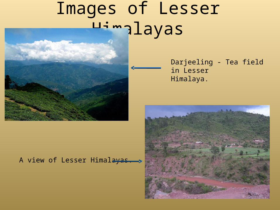
Images of Lesser Himalayas
Darjeeling - Tea field in Lesser Himalaya.
A view of Lesser Himalayas.
(iii) The Shivalik ranges• The Shivalik Hills or Range are the southernmost and geologically youngest east-
west mountain chain of the Himalayas.
• The Shivalik form a belt, which runs continuously from Jammu, Kangra valley, Sirmur district to Dehradun and finally ending up in the Bhabbar tracts of Garhwal and Kumaon. The Sivalik extends about 1,689 km from southwest Kashmir through northern India into southern Nepal. The hills consists of 6000 meters of layered rocks
• The Shivaliks crest at 600 to 1,200 metres and have many sub-ranges. They extend 1,600 km from the Teesta River in Sikkim, westward through Nepal and Uttarkhand, continuing into Kashmir and Northern Pakistan, and are cut through at wide intervals by large rivers flowing south from the Himalayas.
Importance of Shivalik hills
•The physical features and the climatic conditions of this region have played an important role in shaping and making it an important part from the rest of the country.
•The physical features and the climatic conditions of this region have played an important role in shaping and making it an important part from the rest of the country.
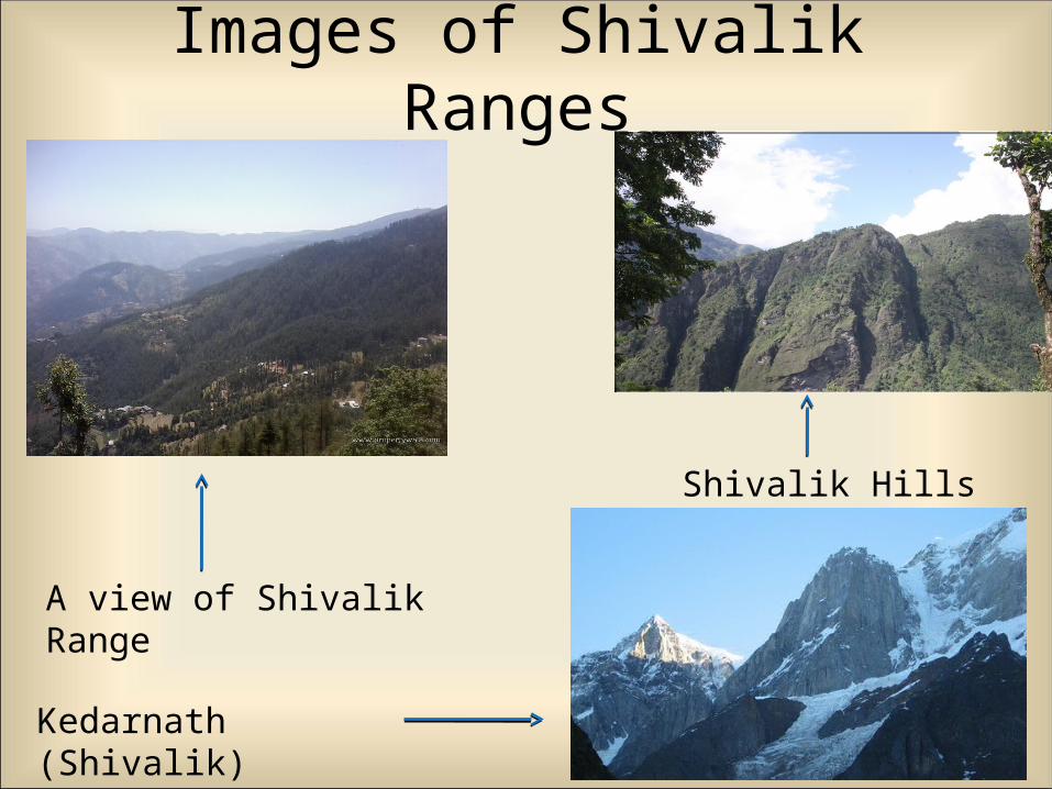
Images of Shivalik Ranges
Shivalik Hills
Kedarnath (Shivalik)
A view of Shivalik Range
It has been made by the three major river systems:-
The Indus The Ganga The Brahmaputra
It plain is formed by alluvial soil. The area covered by this plain is 7 lakh
kilometers. The plain is about 2400 km long and 240 to 320
km broad is a densely physiographic division.
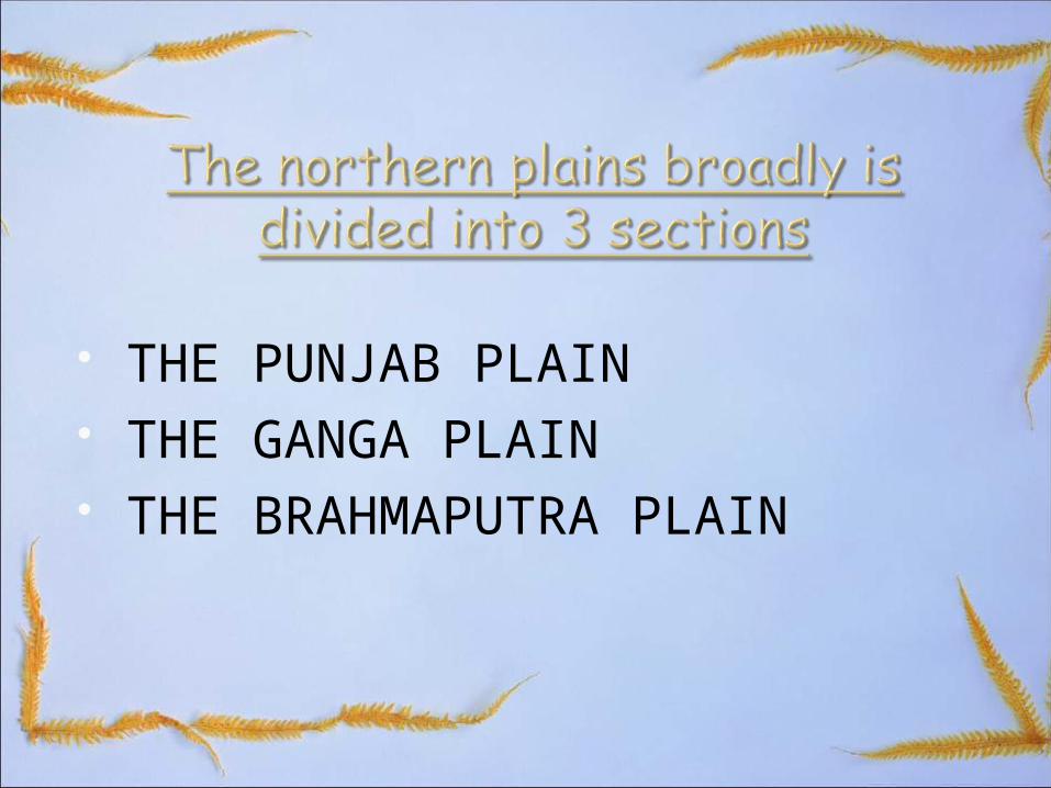
THE PUNJAB PLAIN THE GANGA PLAIN THE BRAHMAPUTRA PLAIN
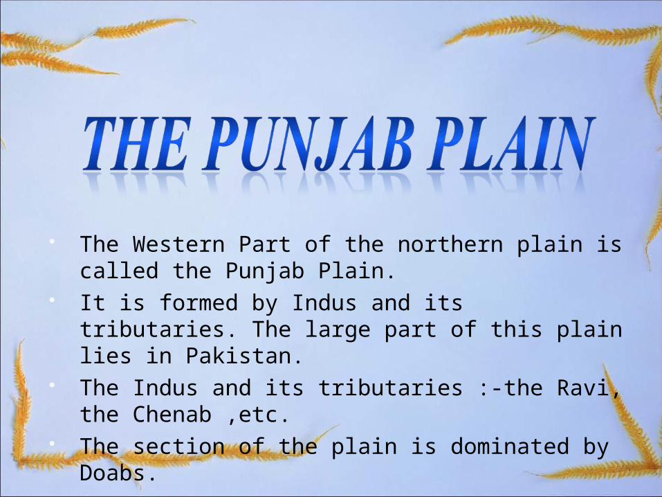
The Western Part of the northern plain is called the Punjab Plain.
It is formed by Indus and its tributaries. The large part of this plain lies in Pakistan.
The Indus and its tributaries :-the Ravi, the Chenab ,etc.
The section of the plain is dominated by Doabs.

It extends between Ghaggar and teesta river at Sikkim.
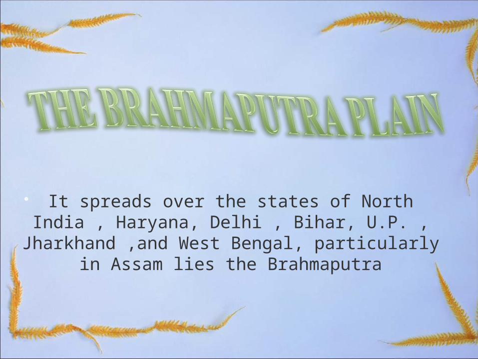
It spreads over the states of North India , Haryana, Delhi , Bihar, U.P. , Jharkhand ,and West Bengal, particularly in Assam lies the
Brahmaputra
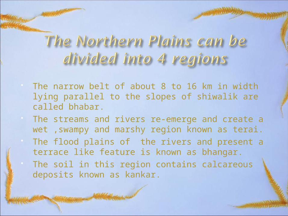
The narrow belt of about 8 to 16 km in width lying parallel to the slopes of shiwalik are called bhabar.
The streams and rivers re-emerge and create a wet ,swampy and marshy region known as terai.
The flood plains of the rivers and present a terrace like feature is known as bhangar.
The soil in this region contains calcareous deposits known as kankar.

The Peninsular Plateau

The Peninsular Plateau The peninsular plateau is a tableland
composed of the old crystalline, igneous and metamorphic rocks.
It is formed due to the breaking and drifting of the gondwana land.
It has a broad and shallow valleys and rounded hills
This plateau consists of two broad divisions are:
Central highlands
Deccan plateau
Central Highlands
The part of peninsular plateau lying to the north of the narmada river covering a major area of the malwa plateau is known as the central highlands.
The extend of central highlands is from vindhya to aravalli hills.
The slope of central highlands is from south-west to north-east
The rivers chambal,sind,betwa and ken flow are according to the slope of the plateau.
The central highlands are wider in the west and are narrower in the east.
The chotanagpur plateau is the eastward extension of central highlands.
The chotanagpur plateau is drained from damodar river.
Deccan Plateau The deccan plateau is a triangular
landmass that lies to the south of the river narmada.
The deccan plateau is higher in the west and slopes gently eastwards.
It is separated by fault from the chotanagpur plateau.
Three prominent hills ranges from the west to east are:
Garo hills
Khasi hills
Jaintia hills
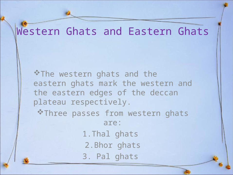
Western Ghats and Eastern Ghats
The western ghats and the eastern ghats mark the western and the eastern edges of the deccan plateau respectively. Three passes from western ghats are:
1.Thal ghats 2.Bhor ghats3. Pal ghats
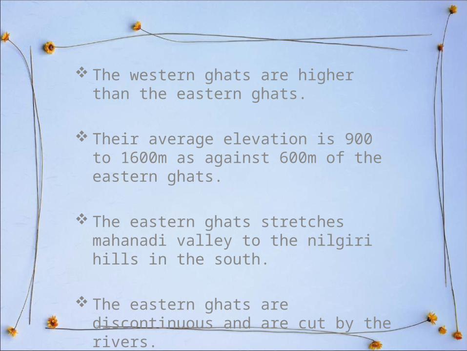
The western ghats are higher than the eastern ghats.
Their average elevation is 900 to 1600m as against 600m of the eastern ghats.
The eastern ghats stretches mahanadi valley to the nilgiri hills in the south.
The eastern ghats are discontinuous and are cut by the rivers.
1.
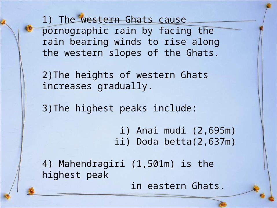
1) The western Ghats cause pornographic rain by facing the rain bearing winds to rise along the western slopes of the Ghats.
2)The heights of western Ghats increases gradually.
3)The highest peaks include: i) Anai mudi (2,695m) ii) Doda betta(2,637m)
4) Mahendragiri (1,501m) is the highest peak in eastern Ghats.
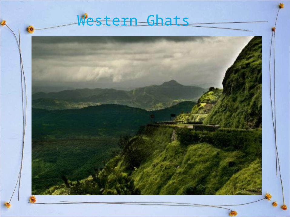
Western Ghats
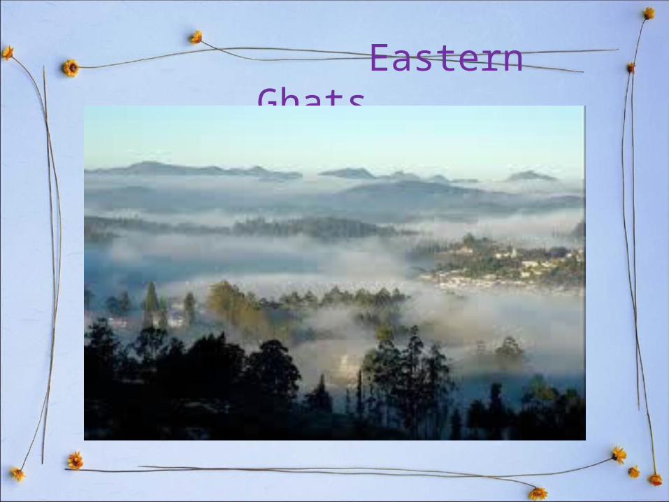
Eastern Ghats
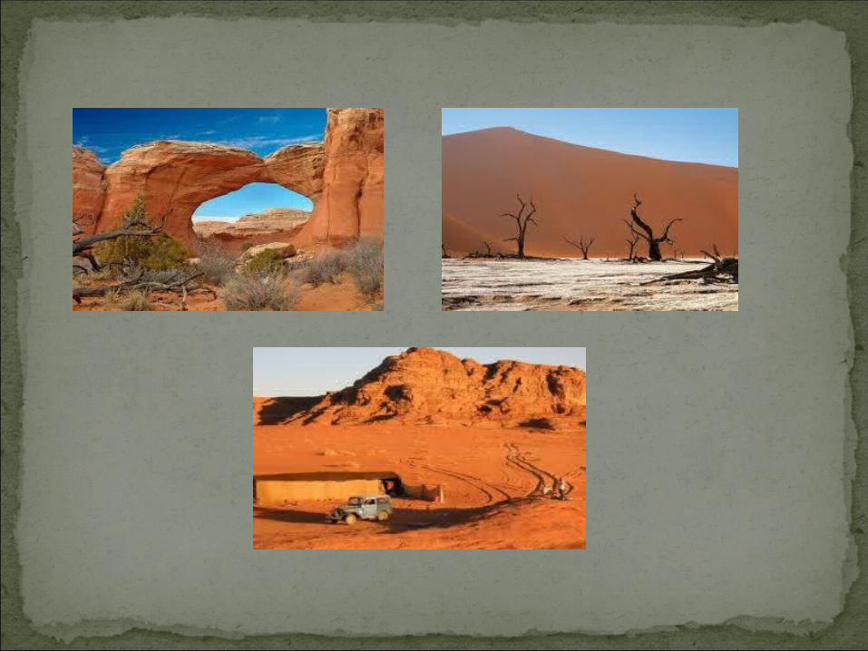
A place that receives less than 10 inches (25 centimeters) of rain per year is considered a desert.Deserts cover more than one fifth of the Earth's land,
and they are found on every continent. Deserts are. part of a wider classification of regions
called "dry lands .These areas exist under a moisture deficit, which
means they can frequently lose more moisture through evaporation than they receive from annual
precipitation.

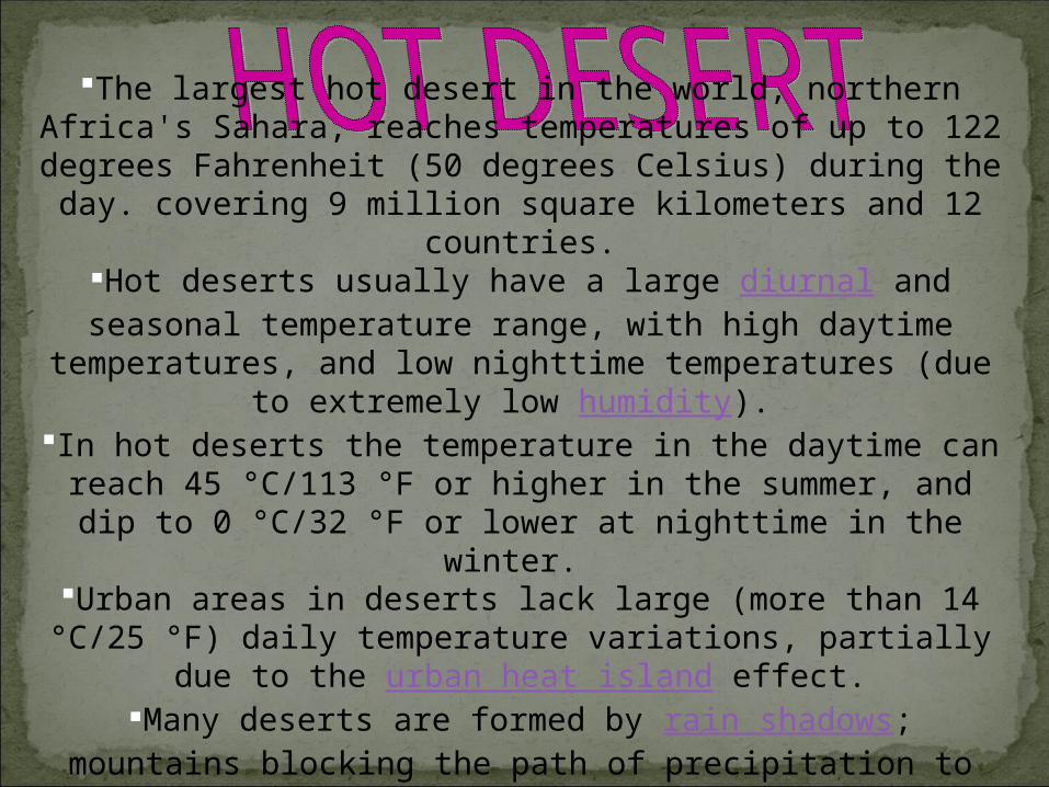
The largest hot desert in the world, northern Africa's Sahara, reaches temperatures of up to 122 degrees Fahrenheit (50 degrees Celsius) during the day. covering 9 million square kilometers and 12
countries.Hot deserts usually have a large diurnal and seasonal temperature
range, with high daytime temperatures, and low nighttime temperatures (due to extremely low humidity).
In hot deserts the temperature in the daytime can reach 45 °C/113 °F or higher in the summer, and dip to 0 °C/32 °F or lower at
nighttime in the winter. Urban areas in deserts lack large (more than 14 °C/25 °F) daily
temperature variations, partially due to the urban heat island effect.Many deserts are formed by rain shadows; mountains blocking the path of precipitation to the desert (on the lee side of the mountain).
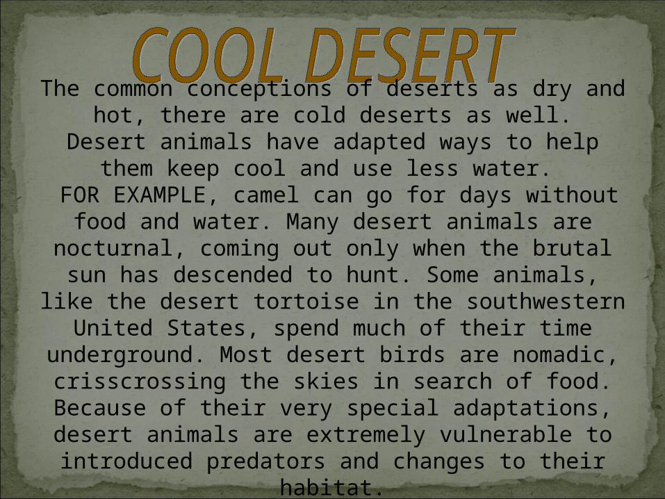
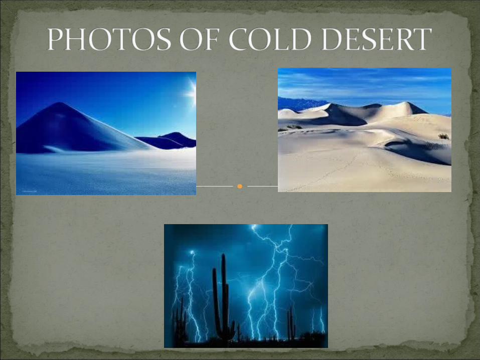
The common conceptions of deserts as dry and hot, there are cold deserts as well.
Desert animals have adapted ways to help them keep cool and use less water.
FOR EXAMPLE, camel can go for days without food and water. Many desert animals are nocturnal, coming out only when the brutal sun has descended to hunt. Some animals, like the desert tortoise in the southwestern United States,
spend much of their time underground. Most desert birds are nomadic, crisscrossing the skies in search of food. Because
of their very special adaptations, desert animals are extremely vulnerable to introduced predators and changes to
their habitat.
The Costal Plains
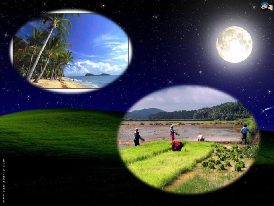
Coastal plains are a geologic feature found around the world and on both the eastern and western coasts of India. Coastal plains are characterized by an area of flat low lying land that is situated adjacent to a water body often a sea or ocean. It is also of note that coastal plains are separated from the interior of the larger land mass by other unique features. Coastal plains have limited vegetation; however grasses and trees are not uncommon. The coastal plains of India are relatively expansive regions which contribute significantly to the geography of the region.
The Costal Plain
The eastern coastal plains are located on a wide stretch of land between the Eastern Ghats of India and the Bay of Bengal. This stretch of land stretches to 120 km in width at parts. The eastern coastal plains extend from Tamil Nadu in the south to West Bengal in the north. The eastern deltas also occupy the valleys. The region of the eastern coastal plains is an expansive area and is divided into six regions. The six regions of the eastern coastal plains of India are the Mahanadi Delta, the Southern Andhra Pradesh Plain, the Krishna Godavari deltas, the Kanyakumari Coast, the Coromandel and the Sandy Coastal regions.
The eastern coastal plains are characterized by a temperature that exceeds 30 degrees Celsius and also experiences high levels of humidity. The rainfall of the region is also abundant in the region with rainfall amounts in excess of 1000mm annually with the amount usually approaching 3000mm. It is also of note that this region of the eastern coastal plains is subject to both northeast and southwest monsoon rains when these storms are in season.
Eastern Coastal Plains
The western coastal plain of India in contrast to the eastern coastal plain is located on a narrow strip of land. The western coastal plains are located in the west of India between the Western Ghats and the Arabian Sea. They extend from Gujarat in the north down 50 km to the south in Kerala and are characterized by numerous backwaters and rivers that flow into the region. These rivers that flow into the region lead to the forming of estuaries that are found in the western coastal plains of India. The storm activity here is considerably less than on the eastern coastal plains. The maximum storm activity on the western coastal plains occurs in the month of March. The western coastal plains are smaller than their eastern counterpart and the region is divided into three parts. The western coastal plains are divided into the regions of Konkan, Kanara, and the Malabar Coast.
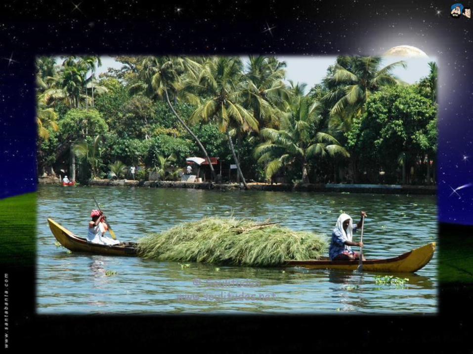
The Island
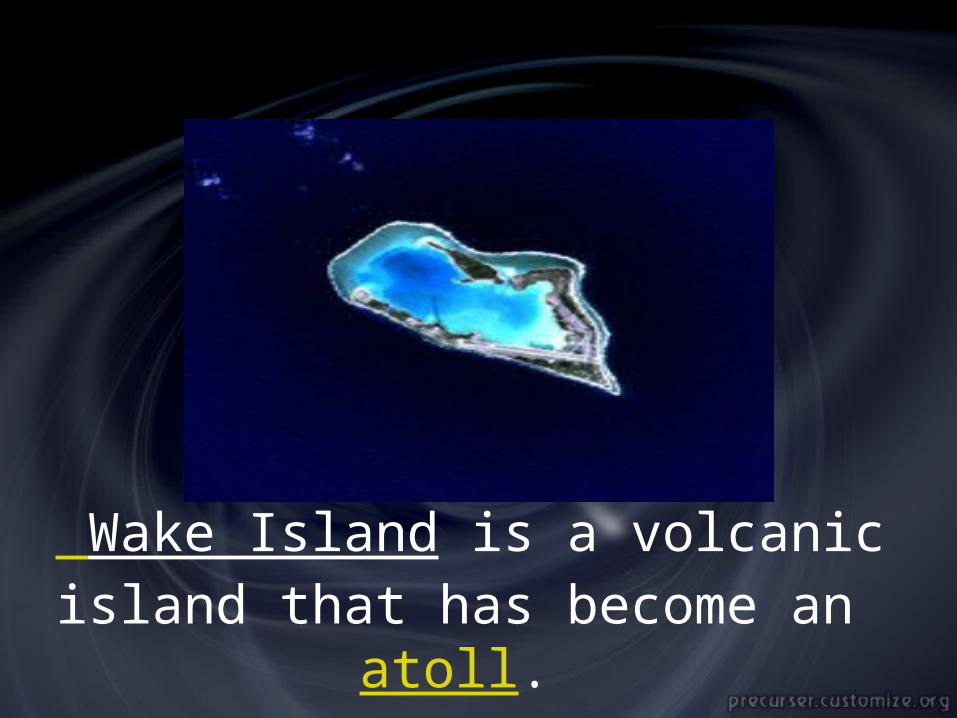
Wake Island is a volcanic island that has become an atoll.
• An island is any piece of sub-continental land that is surrounded by water. Very small islands such as emergent land features on atolls can be called islets, cays or keys. An island in a river or lake may be called an eyot , or holm. A grouping of geographically or geologically related islands is called an archipelago.
• An island may still be described as such despite the presence of an artificial land bridge, for example Singapore and its causeway, or the various Dutch delta islands, such as Ijssel monde. Some places may even retain "island" in their names for historical reasons after being connected to a larger landmass by a wide land bridge, such as Coney Island. Conversely, when a piece of land is separated from the mainland by a man-made canal, for example thePeloponnese by the Corinth Canal, it is generally not considered an island.
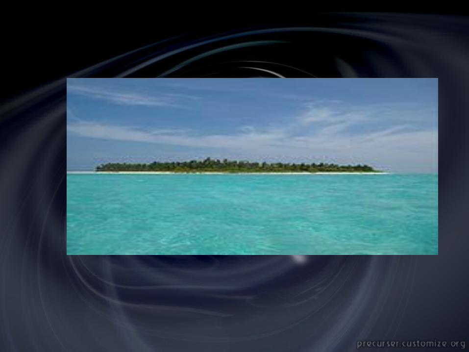
Lakshadweep• Lakshadweep, also known as the Laccadive Islands, is a
group of islands in the Laccadive Sea, 200 to 440 km off the coast of the South West Indian state of Kerala. The islands form the smallest Union Territory of India. The total land area is 11 sq mi or 32 km². Ten of the islands are inhabited. Lakshadweep is the northern part of the erstwhile Lakshadweep. The islands are the northernmost among the Lakshadweep-Maldives-Chagos group of islands, which are actually the tops of a vast undersea mountain range, in the Indian Ocean and the Arabian Sea.
• land area is 32 km2; the lagoon area is about 4200 km2, the territorial waters area is 20,000 km2 and the economic zone area is 4,00,000 km2
• Sardar Patel is the man behind the integration of Lakshadweep Islands with the Republic of India. The inhabitants of these islands were cut off from the mainstream of the country and learnt about Indian Independence days after 15 August 1947. It was Patel who realised that Pakistan could lay claim to these islands on the grounds of Muslim majority, though the islands were nowhere near the new state of Pakistan. An Indian Navy ship was sent to Lakshadweep to hoist the national flag by Patel to thwart any attempt by Pakistan to grab the islands. Hours later, vessels belonging to the Pakistan Navy were spotted near the islands. These vessels however retreated to Karachi after seeing the Indian flag flying over the Lakshadweep.

• The word island comes from Middle English iland, from Old English igland (from ig, similarly meaning 'island' when used independently, and -land carrying its contemporary meaning; cf. Dutch eiland ("island"), German Eiland ("small island")). However, the spelling of the word was modified in the 15th century due to an incorrect association with the etymologically unrelated Old French loanword isle, which itself comes from the Latin word insula. Old English ig is actually a cognate of Latin aqua

JNANAM JNANAM SHAHSHAH
MADE BY:-