Embed Size (px)
Citation preview
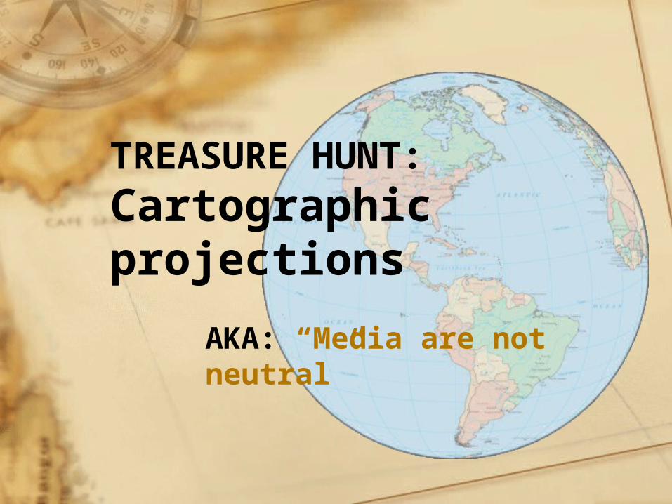
TREASURE HUNT: Cartographic projections
AKA: “Media are not neutral”
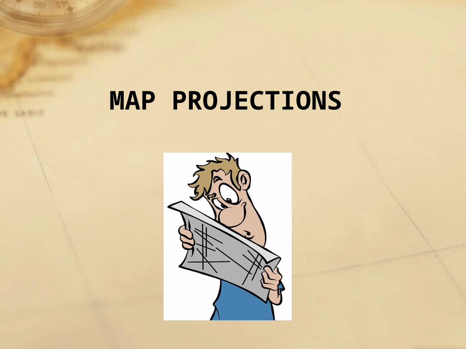
MAP PROJECTIONS
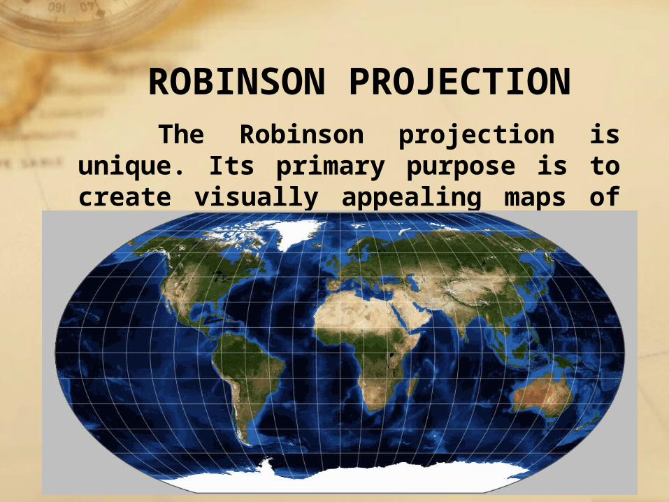
ROBINSON PROJECTION The Robinson projection is unique.
Its primary purpose is to create visually appealing maps of the entire world
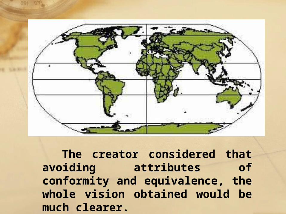
The creator considered that avoiding attributes of conformity and equivalence, the whole vision obtained would be much clearer.
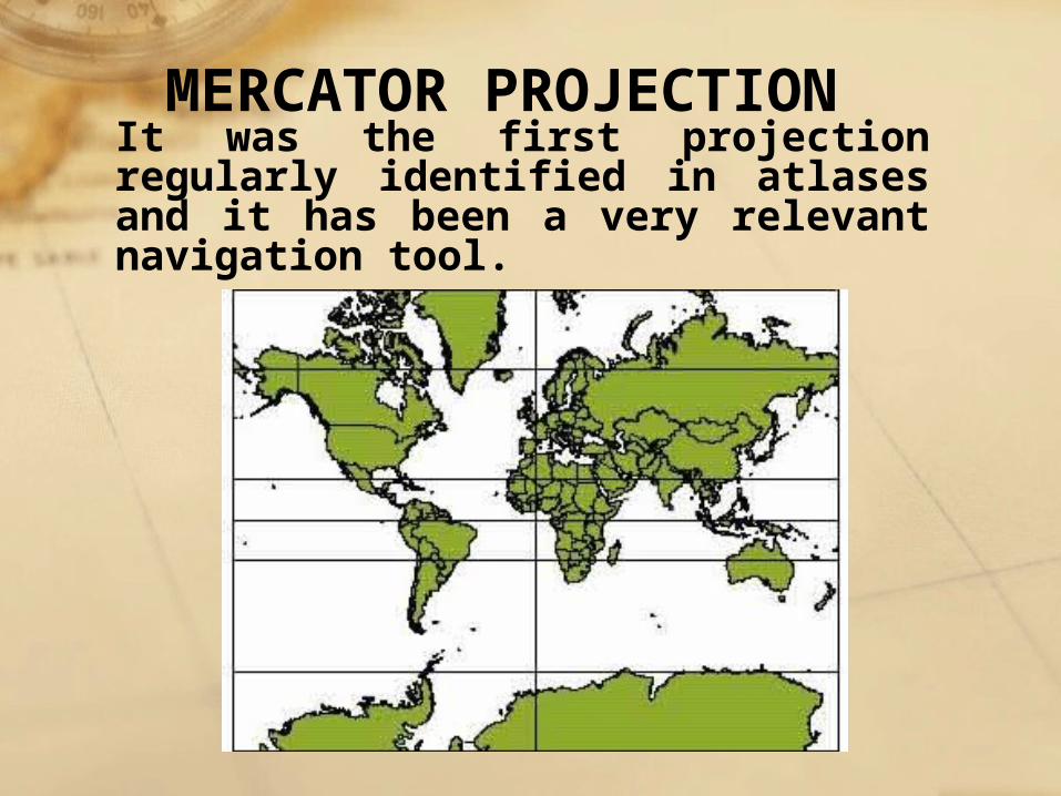
It was the first projection regularly identified in atlases and it has been a very relevant navigation tool.
MERCATOR PROJECTION
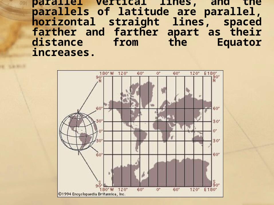
The meridians are equally spaced, parallel vertical lines, and the parallels of latitude are parallel, horizontal straight lines, spaced farther and farther apart as their distance from the Equator increases.
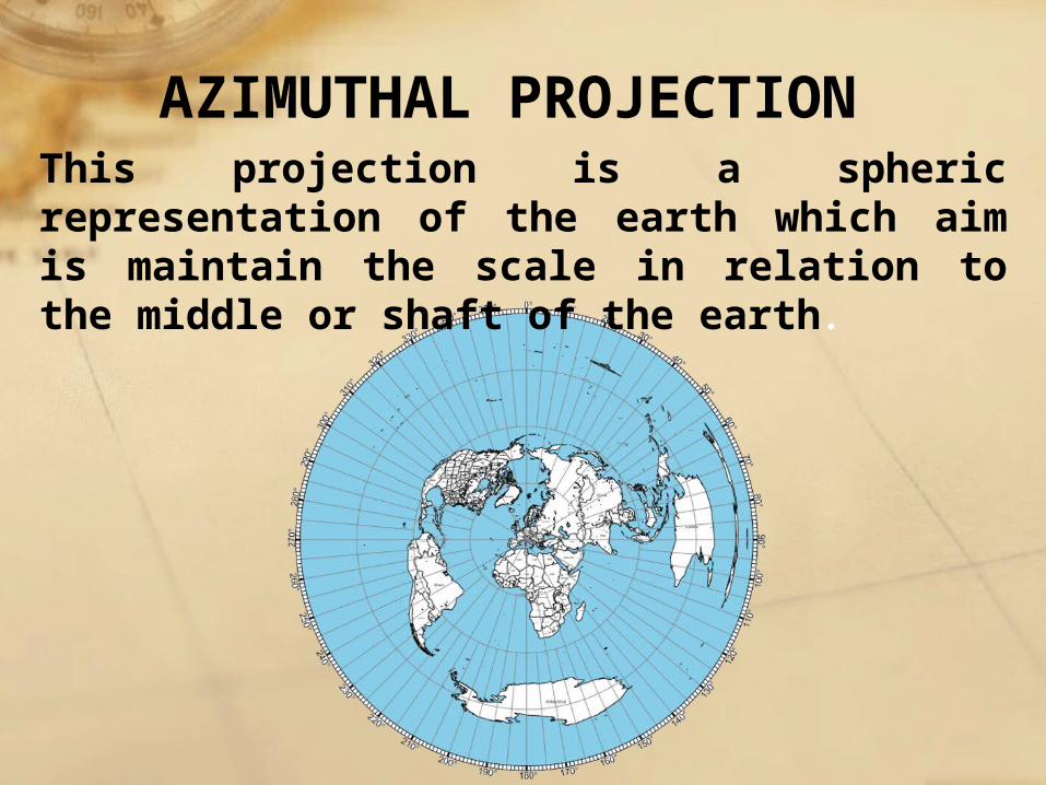
AZIMUTHAL PROJECTIONThis projection is a spheric representation of the earth which aim is maintain the scale in relation to the middle or shaft of the earth.
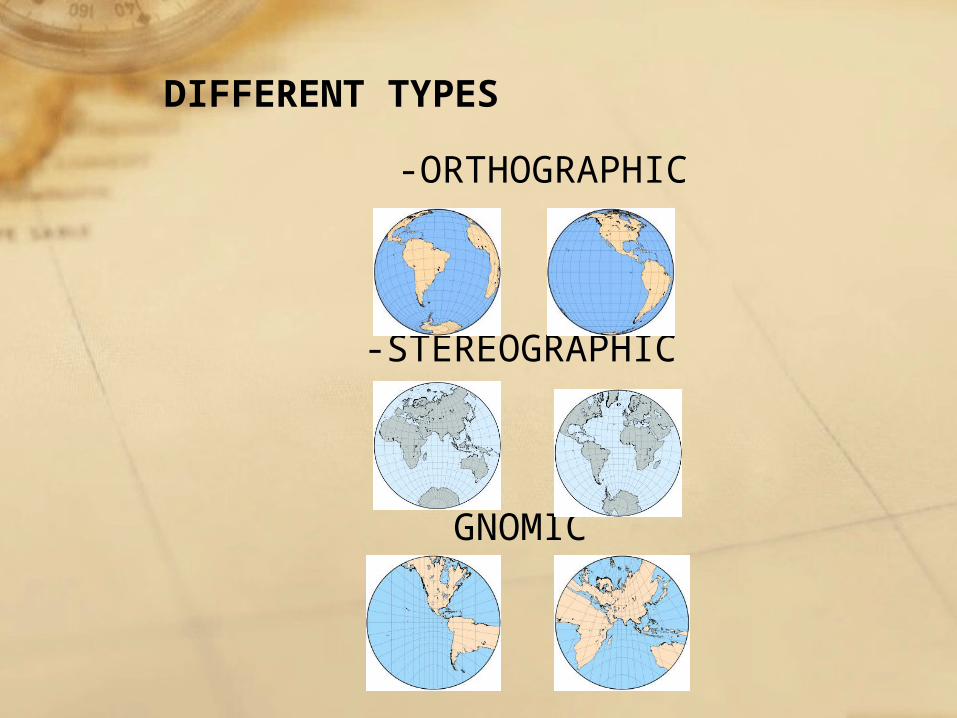
-ORTHOGRAPHIC
-STEREOGRAPHIC
GNOMIC
DIFFERENT TYPES
THE BIG QUESTIONS
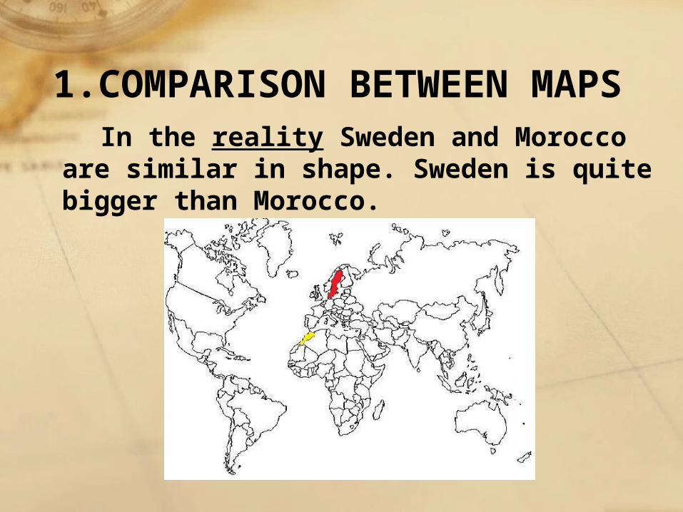
In the reality Sweden and Morocco are similar in shape. Sweden is quite bigger than Morocco.
1.COMPARISON BETWEEN MAPS
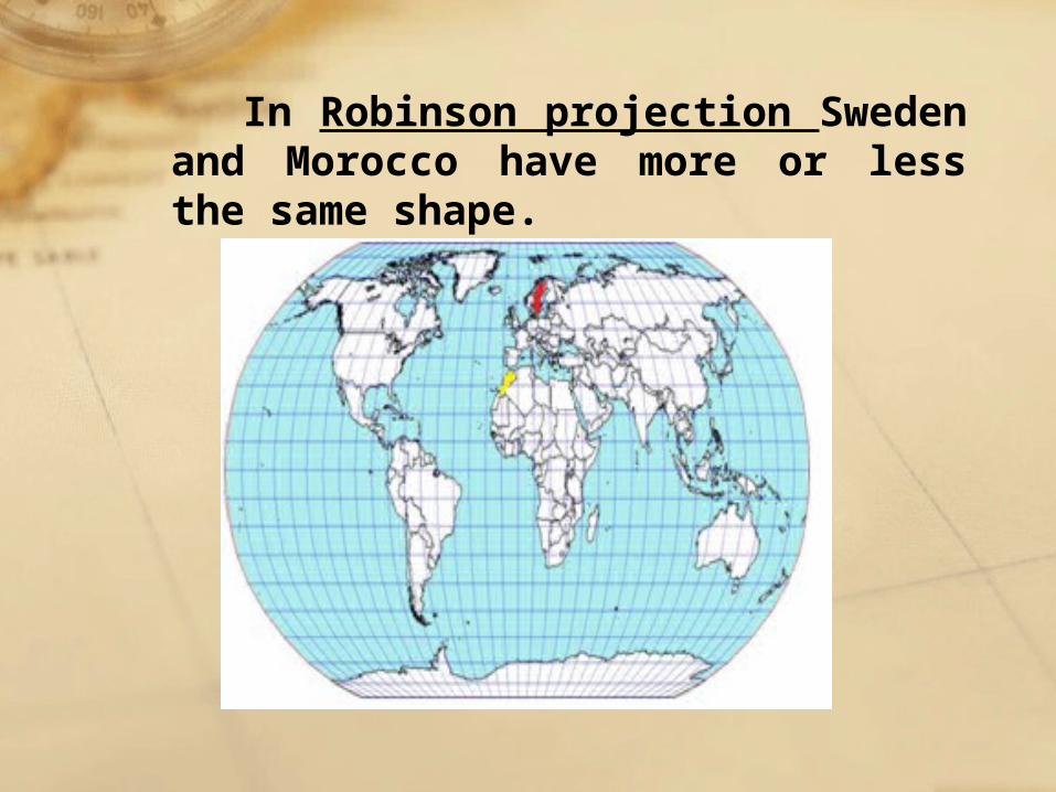
In Robinson projection Sweden and Morocco have more or less the same shape.
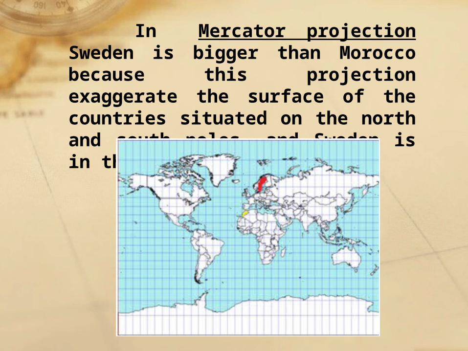
In Mercator projection Sweden is bigger than Morocco because this projection exaggerate the surface of the countries situated on the north and south poles, and Sweden is in the North Pole.
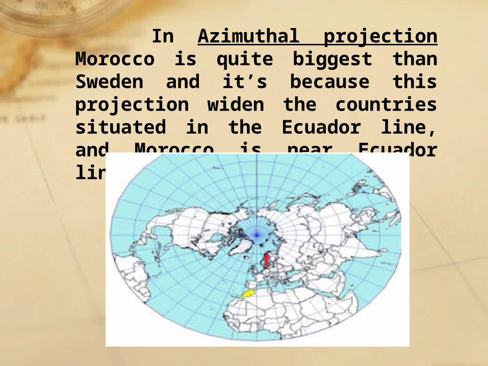
In Azimuthal projection Morocco is quite biggest than Sweden and it’s because this projection widen the countries situated in the Ecuador line, and Morocco is near Ecuador line.
BEST PROJECTION FOR BEING USED IN A
CLASSROOMAfter having understood the different projections and having made a comparison between them, we have concluded that the best projection for use in classroom is Mercator projection, because is similar to the real one and it is used in many classrooms for large maps and in a lot of primary school books.
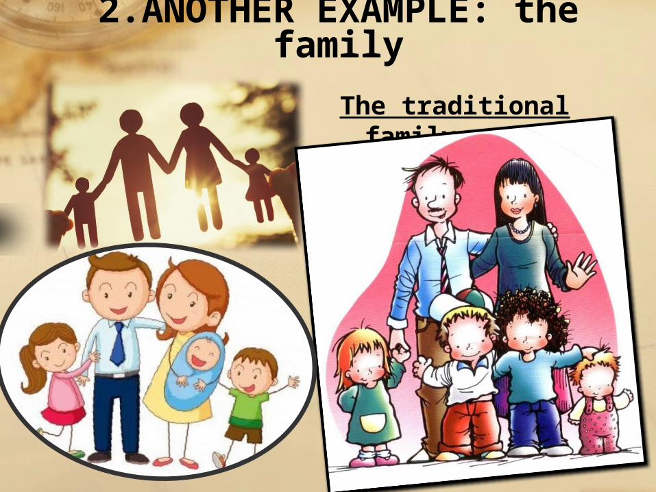
The traditional family
2.ANOTHER EXAMPLE: the family
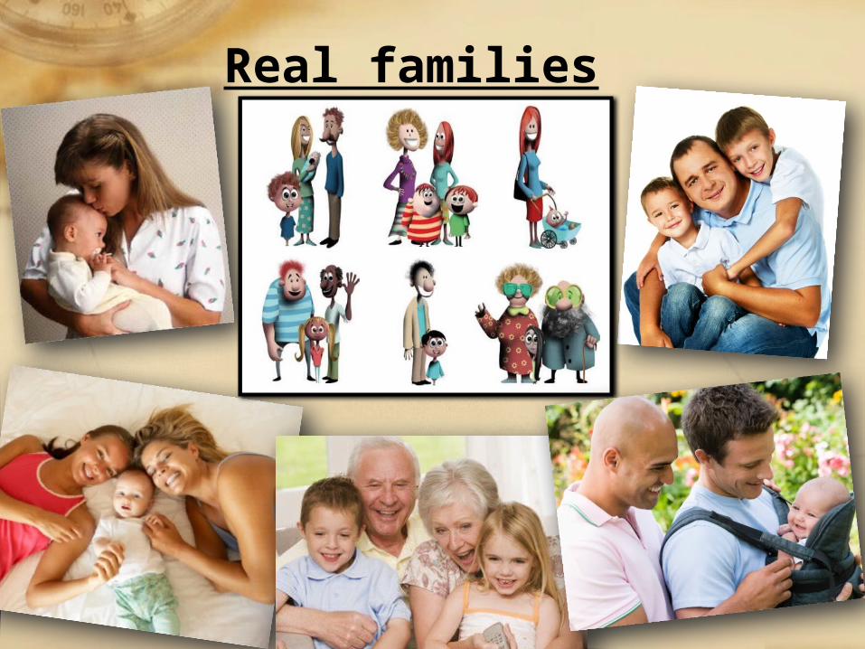
Real families
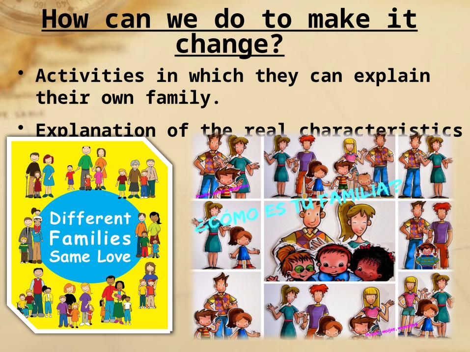
How can we do to make it change?
• Activities in which they can explain their own family.
• Explanation of the real characteristics of a family.
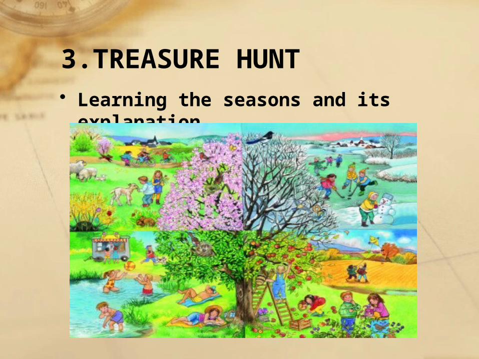
• Learning the seasons and its explanation
3.TREASURE HUNT
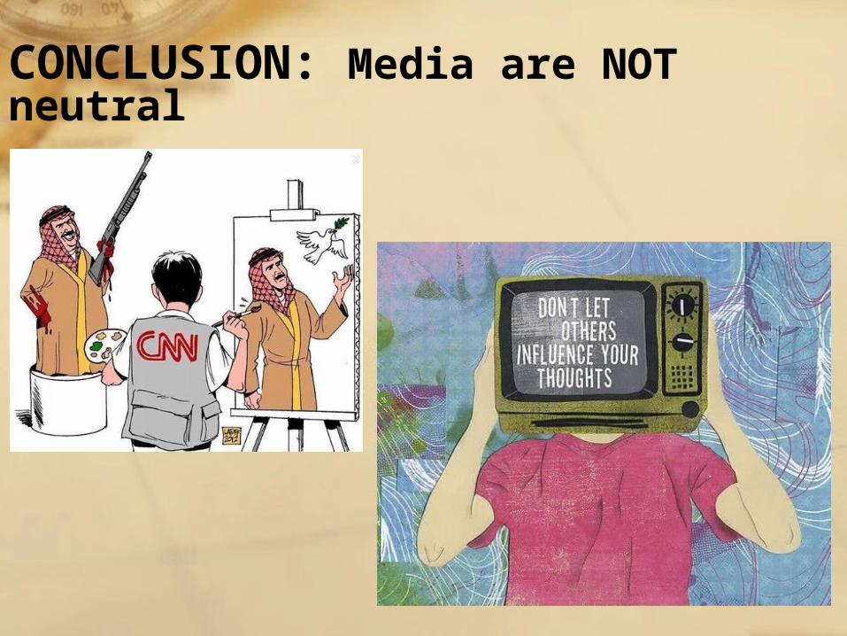
CONCLUSION: Media are NOT neutral
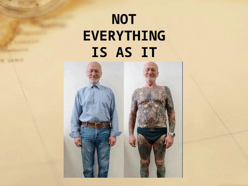
NOT EVERYTHING IS AS IT
SEEMS