Embed Size (px)
Citation preview
Concept of GPS
The Global Positioning System (GPS) is a satellite
based navigation system that can be used to locate
positions anywhere on earth.
Designed and operated by the U.S. Department of
Defense, it consists of satellites, control and monitor
stations, and receivers.
GPS receivers take information transmitted from
the satellites and uses triangulation to calculate a
user’s exact location.
Concept of GPS (Cont.)
GPS is used on incidents in a variety of ways, such as:
To determine position locations; for example, you
need to radio a helicopter pilot the coordinates of
your position location so the pilot can pick you up.
To navigate from one location to another; for
example, you need to travel from a lookout to the fire
perimeter.
To create digitized maps; for example, you are
assigned to plot the fire perimeter and hot spots.
To determine distance between two points or how far
you are from another location.
Concept of GPS (Cont.)
Official name of GPS is navigational Satellite
Timing And Ranging Global Positioning System
(NAVSTAR GPS)
Global Positioning Systems (GPS) is a form of
Global Navigation Satellite System (GNSS)
First developed by the United States Department
of Defense
Consists of two dozen GPS satellites in medium
Earth orbit (The region of space between 2000km
and 35,786 km)
Concept of GPS (Cont.)
Made up of two dozen satellites working in unison are
known as a satellite constellation
This constellation is currently controlled by the United
States Air Force 50th Space Wing
It costs about $750 million to manage and maintain the
system per year
Mainly used for navigation, map-making and surveying
Concept of GPS (Cont.)
A GPS receiver can tell its own position by using the position
data of itself, and compares that data with 3 or more GPS
satellites.
To get the distance to each satellite, the GPS transmits a signal to
each satellite.
The signal travels at a known speed.
The system measures the time delay between the signal
transmission and signal reception of the GPS signal.
The signals carry information about the satellite’s location.
Determines the position of, and distance to, at least three
satellites, to reduce error.
The receiver computes position using trilateration.
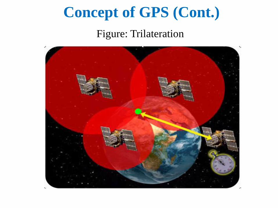
Concept of GPS (Cont.)
Figure: Trilateration
How the GPS Works
The basis of the GPS is a constellation of satellites that
are continuously orbiting the earth.
These satellites, which are equipped with atomic clocks,
transmit radio signals that contain their exact location,
time, and other information.
The radio signals from the satellites, which are
monitored and corrected by control stations, are picked
up by the GPS receiver.
A GPS receiver needs only three satellites to plot a
rough, 2D position, which will not be very accurate.
Ideally, four or more satellites are needed to plot a 3D
position, which is much more accurate.
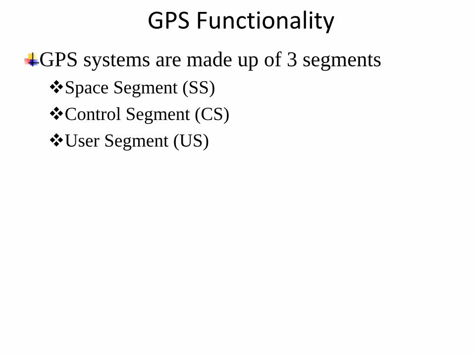
GPS Functionality
GPS systems are made up of 3 segments
Space Segment (SS)
Control Segment (CS)
User Segment (US)

Concept of GPS (Cont.)
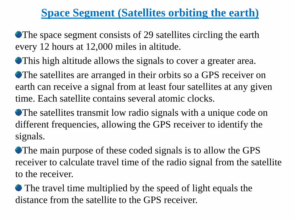
Space Segment (Satellites orbiting the earth)
The space segment consists of 29 satellites circling the earth
every 12 hours at 12,000 miles in altitude.
This high altitude allows the signals to cover a greater area.
The satellites are arranged in their orbits so a GPS receiver on
earth can receive a signal from at least four satellites at any given
time. Each satellite contains several atomic clocks.
The satellites transmit low radio signals with a unique code on
different frequencies, allowing the GPS receiver to identify the
signals.
The main purpose of these coded signals is to allow the GPS
receiver to calculate travel time of the radio signal from the satellite
to the receiver.
The travel time multiplied by the speed of light equals the
distance from the satellite to the GPS receiver.

Control Segment (The control and monitoring stations)
The control segment tracks the satellites and
then provides them with corrected orbital and time
information.
The control segment consists of five unmanned
monitor stations and one Master Control Station.
The five unmanned stations monitor GPS
satellite signals and then send that information to
the Master Control Station where anomalies are
corrected and sent back to the GPS satellites
through ground antennas.

User Segment
(The GPS receivers owned by civilians and military)
The user segment consists of the
users and their GPS receivers.
The number of simultaneous users
is limitless.
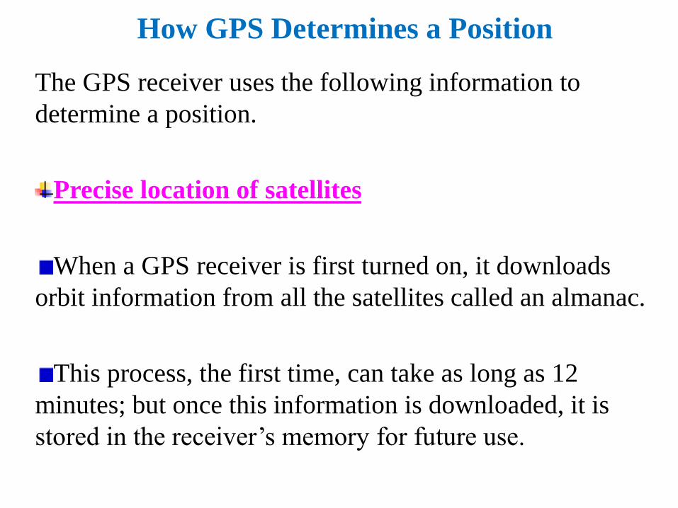
How GPS Determines a Position
The GPS receiver uses the following information to
determine a position.
Precise location of satellites
When a GPS receiver is first turned on, it downloads
orbit information from all the satellites called an almanac.
This process, the first time, can take as long as 12
minutes; but once this information is downloaded, it is
stored in the receiver’s memory for future use.
How GPS Determines a Position(Cont.)
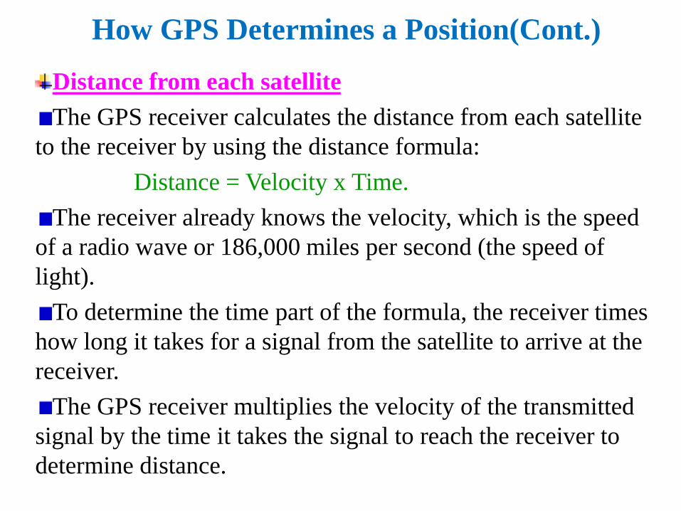
Distance from each satellite
The GPS receiver calculates the distance from each satellite
to the receiver by using the distance formula:
Distance = Velocity x Time.
The receiver already knows the velocity, which is the speed
of a radio wave or 186,000 miles per second (the speed of
light).
To determine the time part of the formula, the receiver times
how long it takes for a signal from the satellite to arrive at the
receiver.
The GPS receiver multiplies the velocity of the transmitted
signal by the time it takes the signal to reach the receiver to
determine distance.
How GPS Determines a Position (Cont.)
Triangulation to determine position
The receiver determines position by using
triangulation.
When it receives signals from at least three satellites
the receiver should be able to calculate its approximate
position (a 2D position).
The receiver needs at least four or more satellites to
calculate a more accurate 3D position.
The position can be reported in latitude/longitude,
UTM (Universal Transverse Mercator), or other
coordinate system.
Sources of Errors
The sources of GPS errors are-
User mistakes
Multipath interference
Satellite and receiver clock error
Orbit errors
Satellite Geometry
Atmospheric interference
Selective availability
Correction System
Real-time differentiation GPS
Wide area argumentation System

Fig. Sources of Error