Embed Size (px)
Citation preview

Opportunity for rectification of
inadvertently cutoff meander.Tony Smith • Friends of Moonee Ponds Creek • 3 June 2016
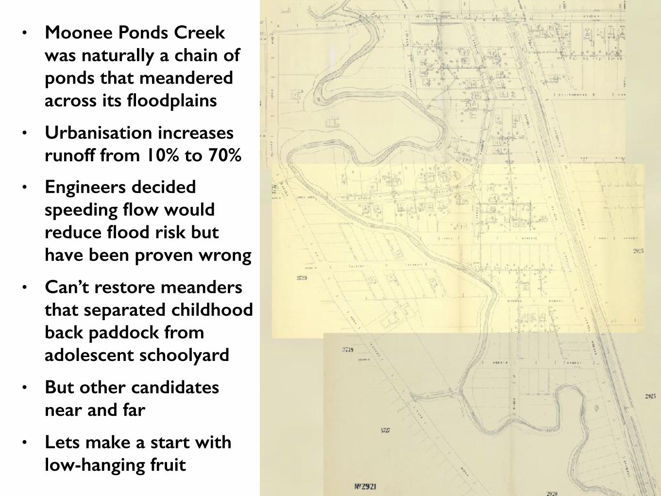
• Moonee Ponds Creek was naturally a chain of ponds that meandered across its floodplains
• Urbanisation increases runoff from 10% to 70%
• Engineers decided speeding flow would reduce flood risk but have been proven wrong
• Can’t restore meanders that separated childhood back paddock from adolescent schoolyard
• But other candidates near and far
• Lets make a start with low-hanging fruit
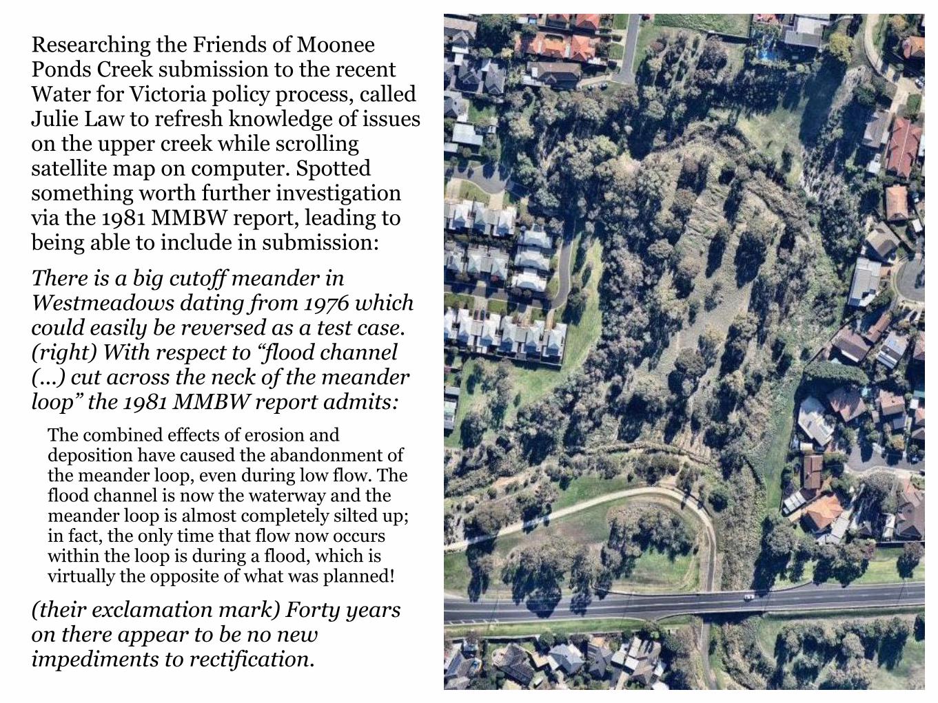
Researching the Friends of Moonee Ponds Creek submission to the recent Water for Victoria policy process, called Julie Law to refresh knowledge of issues on the upper creek while scrolling satellite map on computer. Spotted something worth further investigation via the 1981 MMBW report, leading to being able to include in submission: There is a big cutoff meander in Westmeadows dating from 1976 which could easily be reversed as a test case. (right) With respect to “flood channel (...) cut across the neck of the meander loop” the 1981 MMBW report admits:
The combined effects of erosion and deposition have caused the abandonment of the meander loop, even during low flow. The flood channel is now the waterway and the meander loop is almost completely silted up; in fact, the only time that flow now occurs within the loop is during a flood, which is virtually the opposite of what was planned!
(their exclamation mark) Forty years on there appear to be no new impediments to rectification.
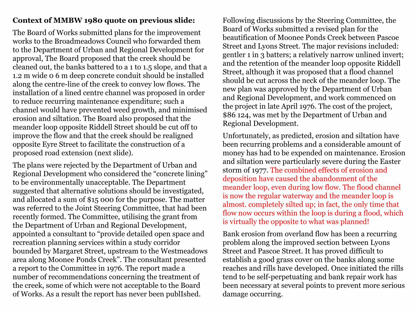
Context of MMBW 1980 quote on previous slide: The Board of Works submitted plans for the improvement works to the Broadmeadows Council who forwarded them to the Department of Urban and Regional Development for approval, The Board proposed that the creek should be cleaned out, the banks battered to a 1 to 1.5 slope, and that a 1.2 m wide 0 6 m deep concrete conduit should be installed along the centre-line of the creek to convey low flows. The installation of a lined centre channel was proposed in order to reduce recurring maintenance expenditure; such a channel would have prevented weed growth, and minimised erosion and siltation. The Board also proposed that the meander loop opposite Riddell Street should be cut off to improve the flow and that the creek should be realigned opposite Eyre Street to facilitate the construction of a proposed road extension (next slide). The plans were rejected by the Department of Urban and Regional Development who considered the “concrete lining” to be environmentally unacceptable. The Department suggested that alternative solutions should be investigated, and allocated a sum of $15 000 for the purpose. The matter was referred to the Joint Steering Committee, that had been recently formed. The Committee, utilising the grant from the Department of Urban and Regional Development, appointed a consultant to “provide detailed open space and recreation planning services within a study corridor bounded by Margaret Street, upstream to the Westmeadows area along Moonee Ponds Creek”. The consultant presented a report to the Committee in 1976. The report made a number of recommendations concerning the treatment of the creek, some of which were not acceptable to the Board of Works. As a result the report has never been publIshed.
Following discussions by the Steering Committee, the Board of Works submitted a revised plan for the beautification of Moonee Ponds Creek between Pascoe Street and Lyons Street. The major revisions included: gentler 1 in 3 batters; a relatively narrow unlined invert; and the retention of the meander loop opposite Riddell Street, although it was proposed that a flood channel should be cut across the neck of the meander loop. The new plan was approved by the Department of Urban and Regional Development, and work commenced on the project in late April 1976. The cost of the project, $86 124, was met by the Department of Urban and Regional Development. Unfortunately, as predicted, erosion and siltation have been recurring problems and a considerable amount of money has had to be expended on maintenance. Erosion and siltation were particularly severe during the Easter storm of 1977. The combined effects of erosion and deposition have caused the abandonment of the meander loop, even during low flow. The flood channel is now the regular waterway and the meander loop is almost. completely silted up; in fact, the only time that flow now occurs within the loop is during a flood, which is virtually the opposite to what was planned! Bank erosion from overland flow has been a recurring problem along the improved section between Lyons Street and Pascoe Street. It has proved difficult to establish a good grass cover on the banks along some reaches and rills have developed. Once initiated the rills tend to be self-perpetuating and bank repair work has been necessary at several points to prevent more serious damage occurring.
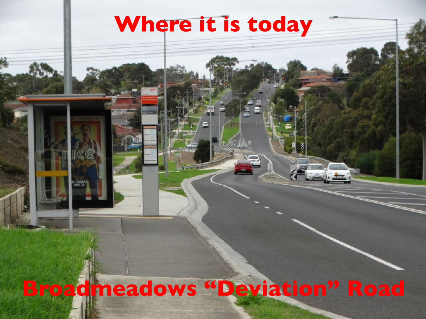
Where it is today
Broadmeadows “Deviation” Road
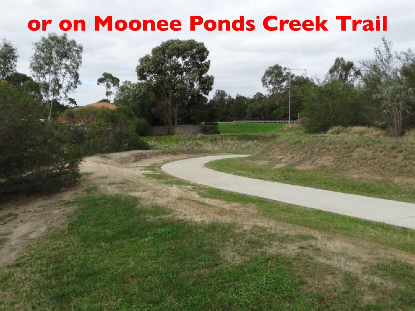
or on Moonee Ponds Creek Trail

• Only walkable entry from Riddell Street
• Overview from where Johnstone Street turns into Shadforth
• Maps of meander, subcatchment and property boundaries
• Pictures from inside and around meander
• Where to from here?


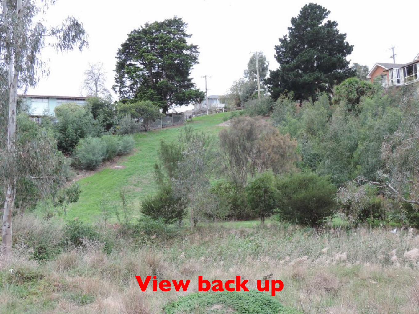
View back up
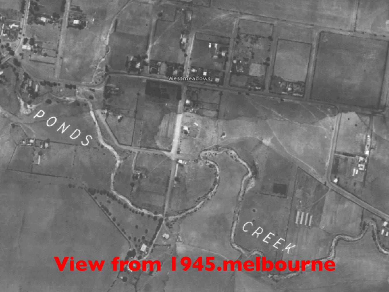
View from 1945.melbourne


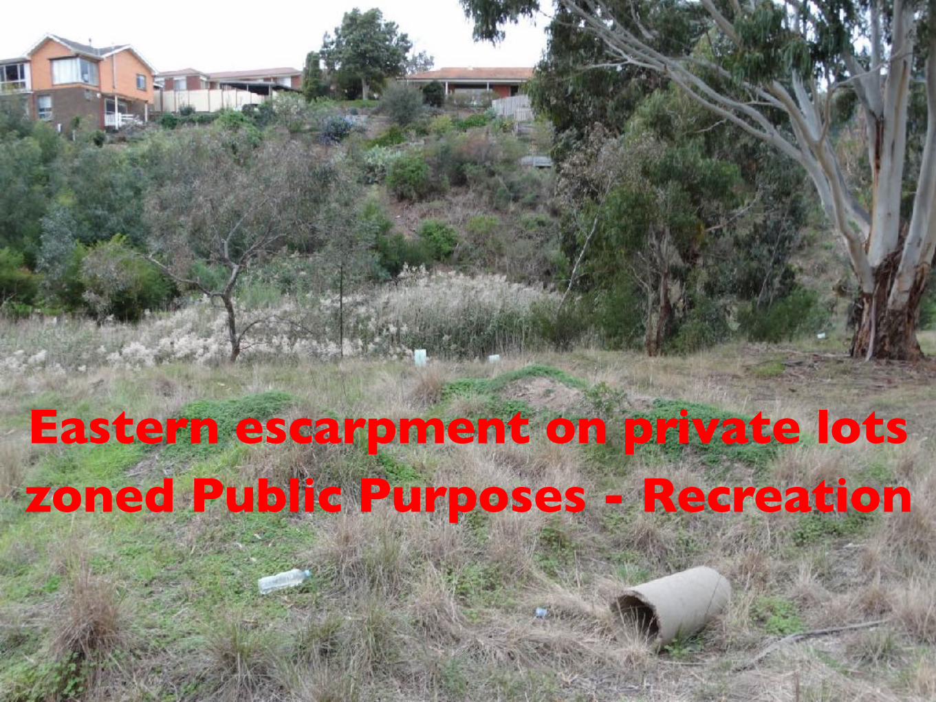
Eastern escarpment on private lots zoned Public Purposes - Recreation

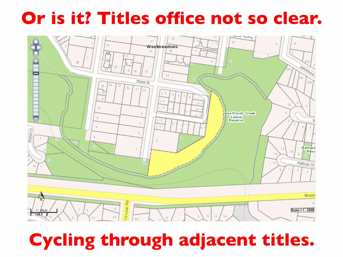
Or is it? Titles office not so clear.
Cycling through adjacent titles.
Or is it? Titles office not so clear.
Cycling through adjacent titles.

Or is it? Titles office not so clear.
Cycling through adjacent titles.

Or is it? Titles office not so clear.
Cycling through adjacent titles.

Or is it? Titles office not so clear.
Cycling through adjacent titles.

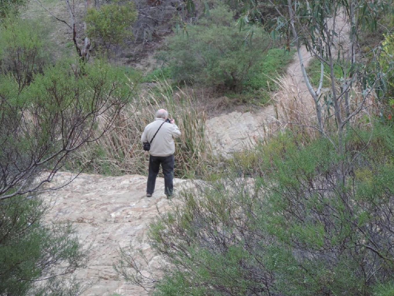
Floodway formed by scraping into bedrock

with pools for Frog Lady’s tadpoles
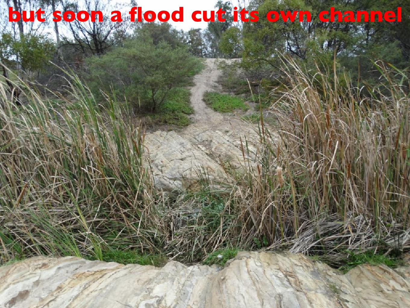
but soon a flood cut its own channel


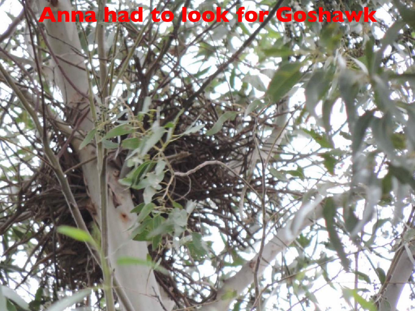
Anna had to look for Goshawk

Drains either side of track in from Riddell St put water in old channel

• In 40 years no-one has sought to reverse an outcome which was “the opposite of what was planned!”
• Gavan at Melbourne Water and Damien at Hume have informally indicated interest in the potential
• Needs a proposition to which officers can respond
• Likely to need a planning process including consultation with neighbours and interest groups
• Too early to more than suggest weir across floodway
• Get plan on the books then push for it to be funded

Questions?