Embed Size (px)
Citation preview
U N HR E S E A R C H
F A C I L I T I E SDr . Larry Mayer UNH
The University of New
Hampshire has a
wonderful Center for Coastal
Mapping/Joint Hydrographic
Center which works to train
future ocean mappers and create
revolutionary new tools for ocean
exploration.
A lot of research occurs in
this center, including
improving sensors made to
map large bodies of water for
further accuracy, working on
ocean mapping in 3D and 4D,
and in-depth studies of
coastal processes.
Here are the facilities in
which this
revolutionary research
occurs:
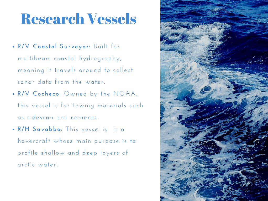
R/V Coas ta l Surveyor : Bu i l t f o r
mu l t i beam coas ta l hydrography ,
mean ing i t t rave l s a round to co l l e c t
sonar da ta f rom the wate r .
R/V Cocheco : Owned by the NOAA,
th i s ve s se l i s f o r t ow ing mate r i a l s such
as s i de s can and cameras .
R/H Savabba : Th i s ve s se l i s i s a
hove r c ra f t whose ma in purpose i s t o
p ro f i l e sha l l ow and deep l aye r s o f
a r c t i c wate r .
Research Vessels
These test tanks are both a wave
tank
and an engineering tank. The wave
tank has wave-maker software that
helps test instrumentation while the
engineering tank is used for research,
machine tests, and classes.
Test Tanks
The Library: Contains thousands of books
and journals on ocean mapping and
hydrography.
Computer/Electronics Labs: Have a large
number of equipment and tools.
High Bay Facility: Has multiple work
bays, and also holds the Center’s two test
tanks.
Data Visualization Research Lab:
Is focused on 3D simulations.
Labs andWorkspaces
This piece of technology is essential
to
remote research, as well as to the
ability to collaborate with other
researchers. It is one of the few in the
United States!
TelepresenceConsole