Embed Size (px)
Citation preview
Google Earthの使い方?
新領域創成科学研究科 中村英史
1
課題 Google Earth を使って海底に沈んでいる タイタニック号を見つけてください。
2
タイタニック号の沈没場所を検索します
3

4
5
6
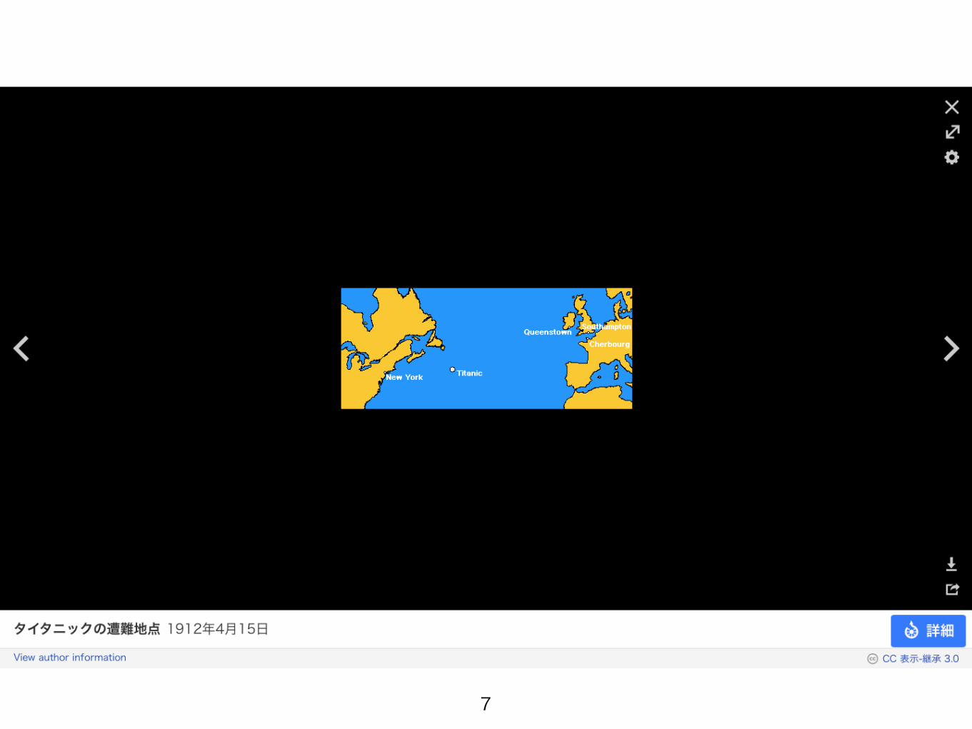
7
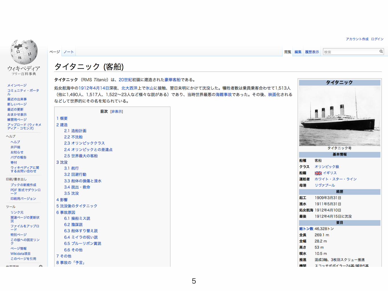
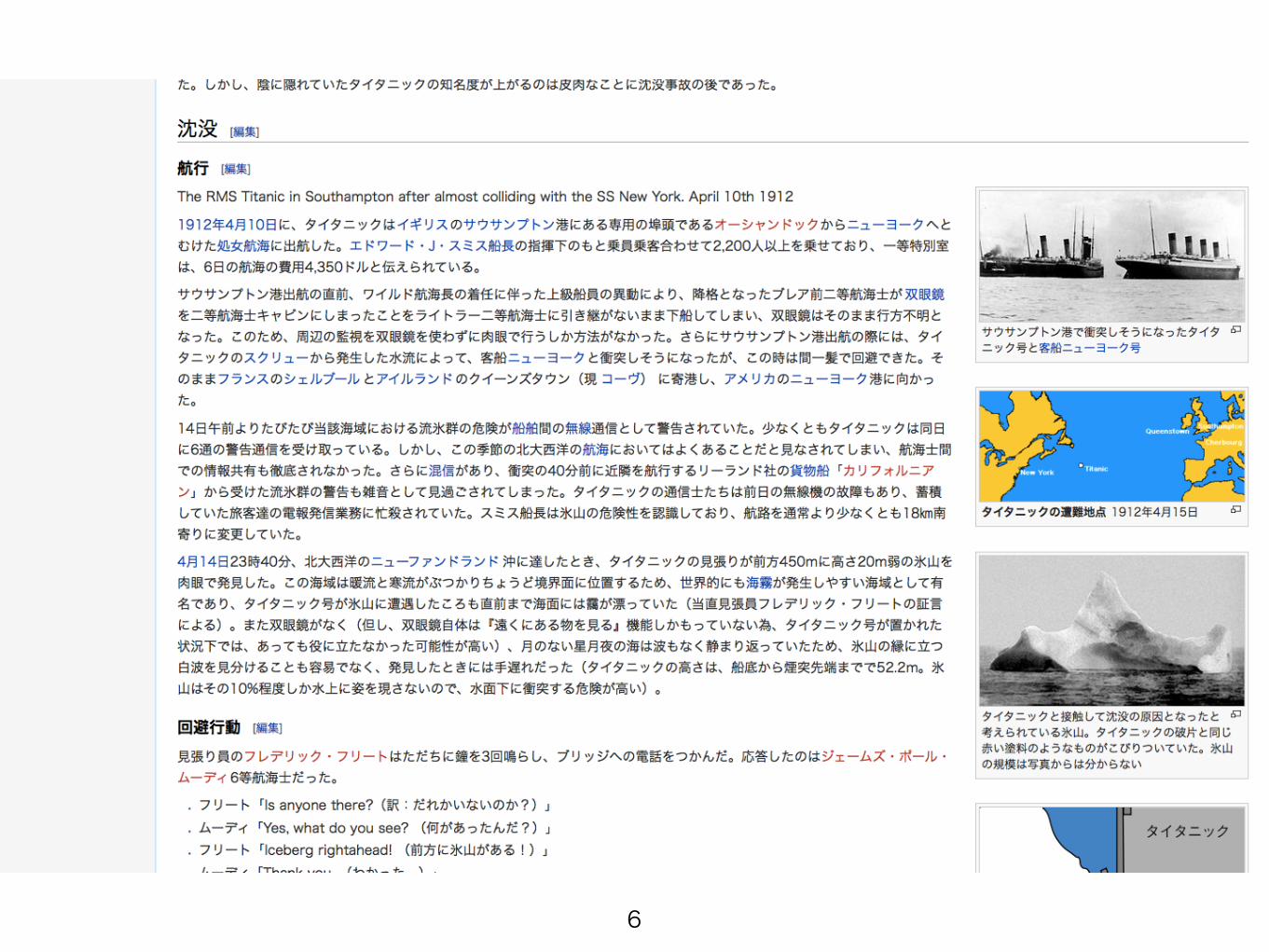
ニューヨークの東の沖で遭難したらしい
8
Google Earth で見てみる
9
10
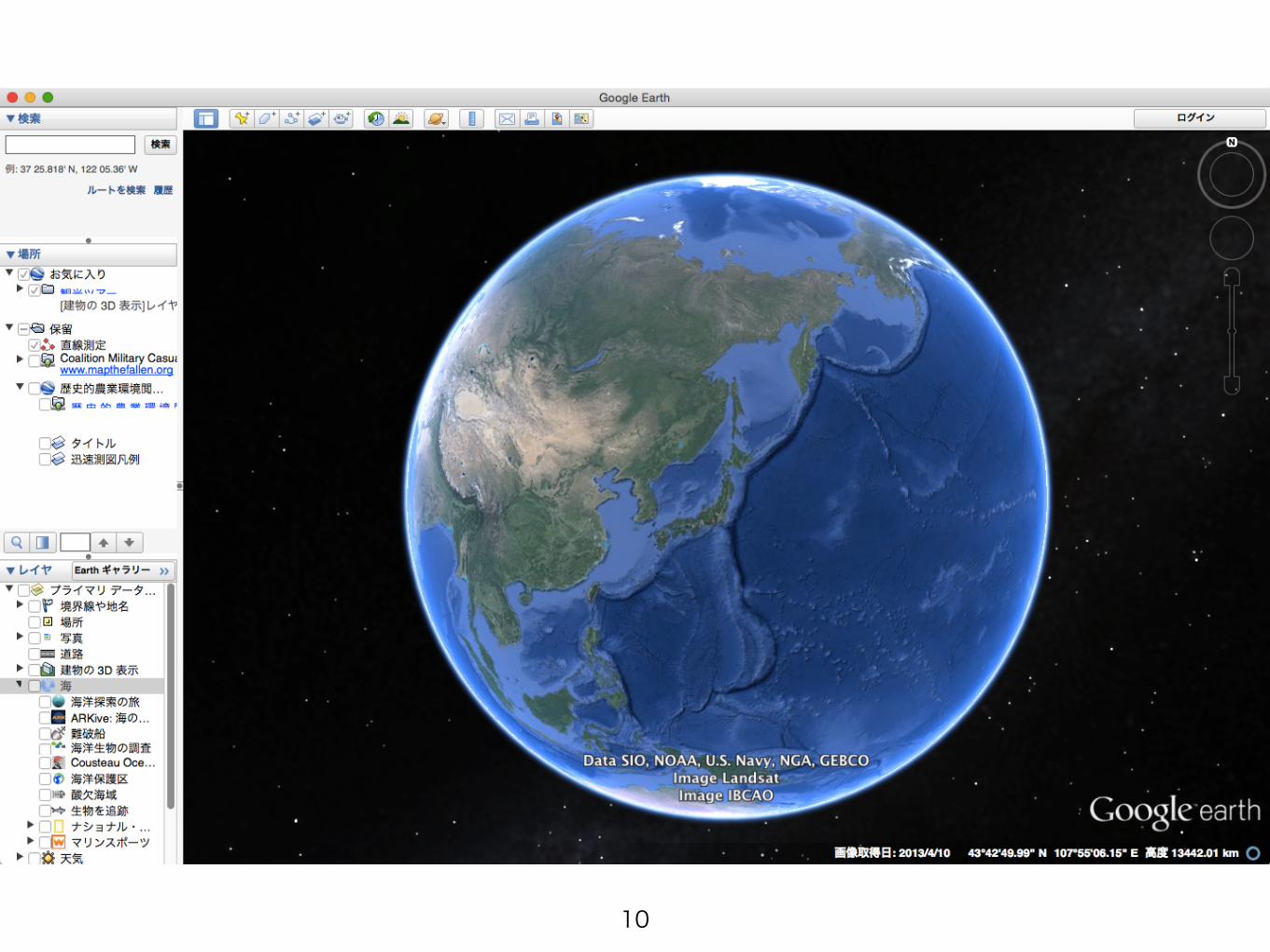
まずはNew York へ
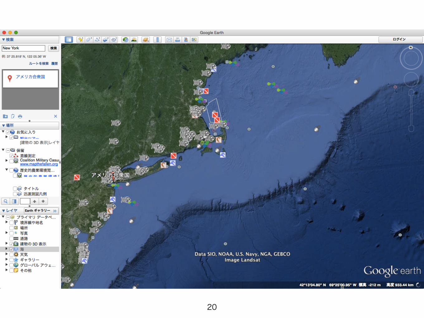
11
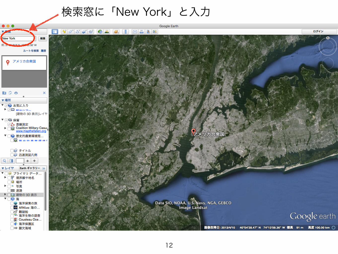
検索窓に「New York」と入力
12
情報を頼りに探しに行く
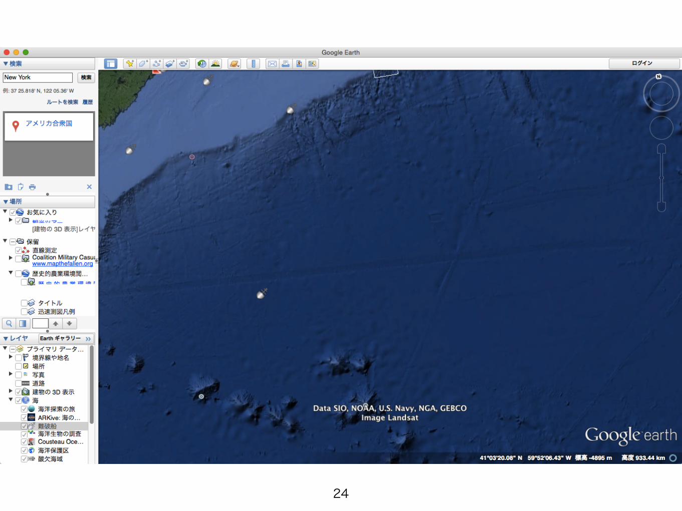
13
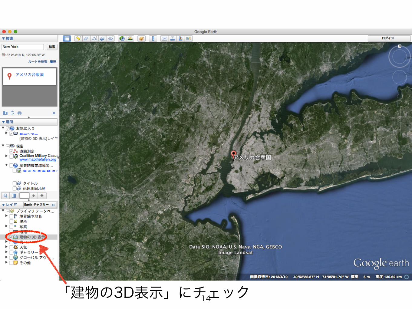
「建物の3D表示」にチェック14
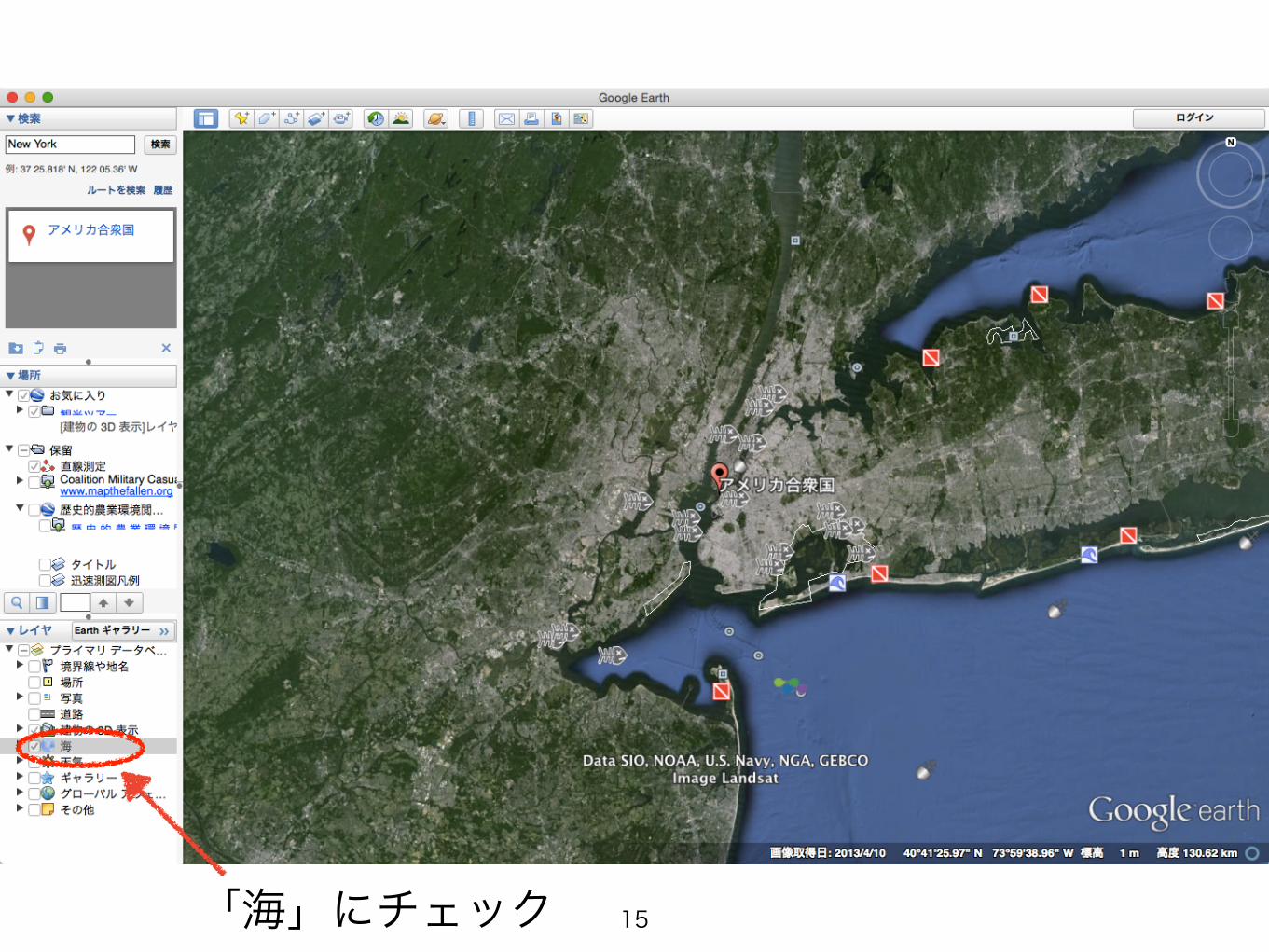
「海」にチェック 15

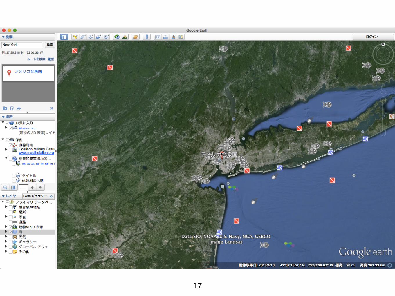
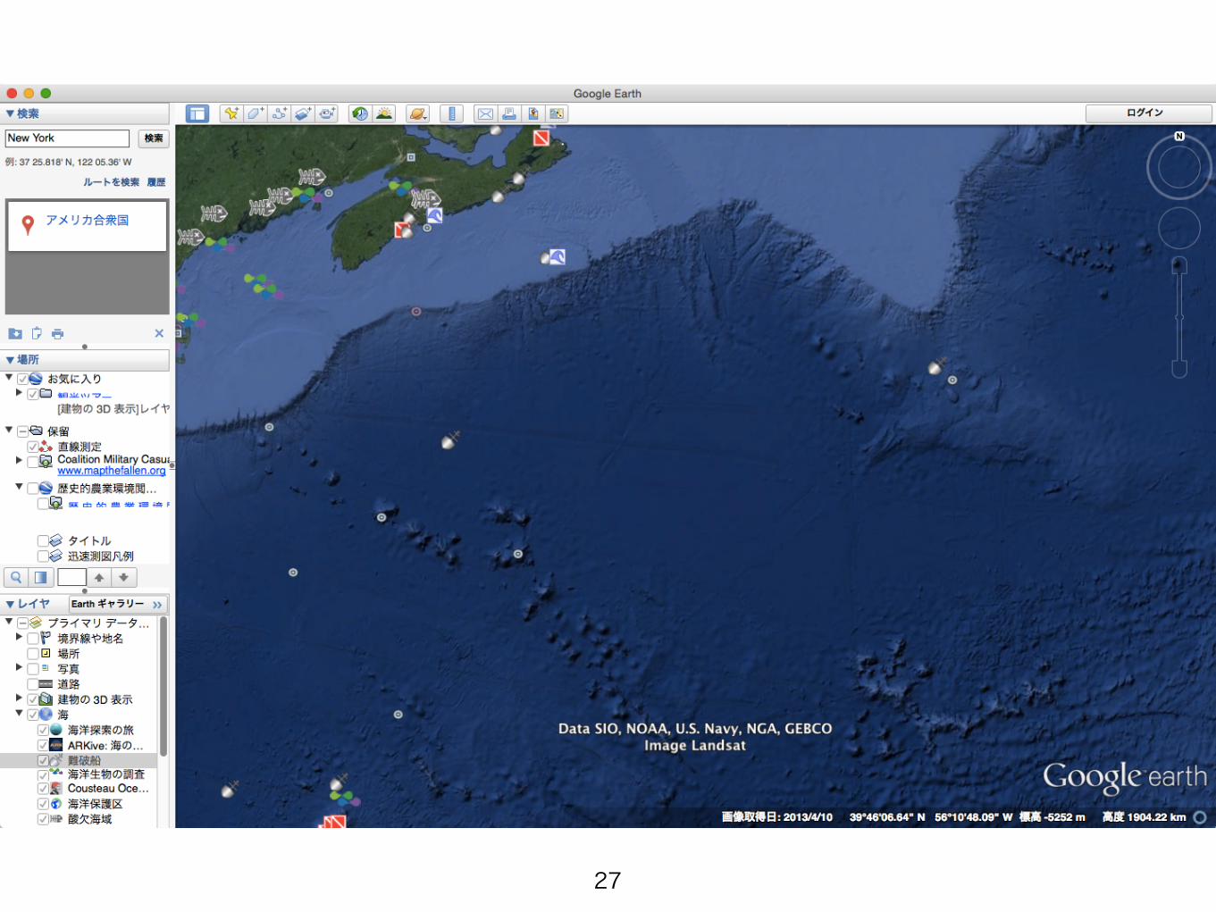
東の海上へ
16
17
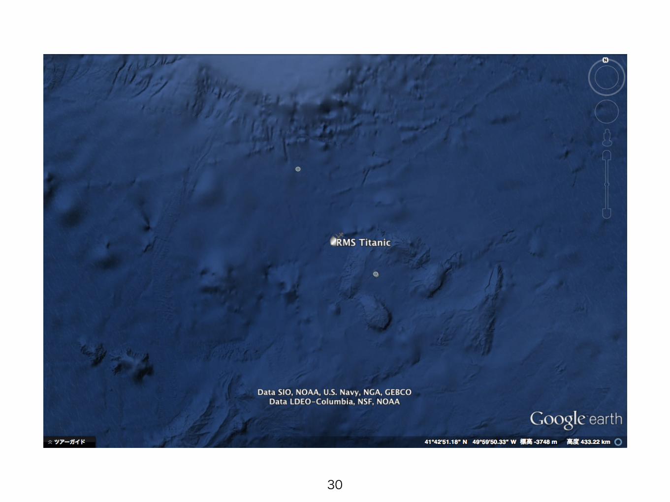
18
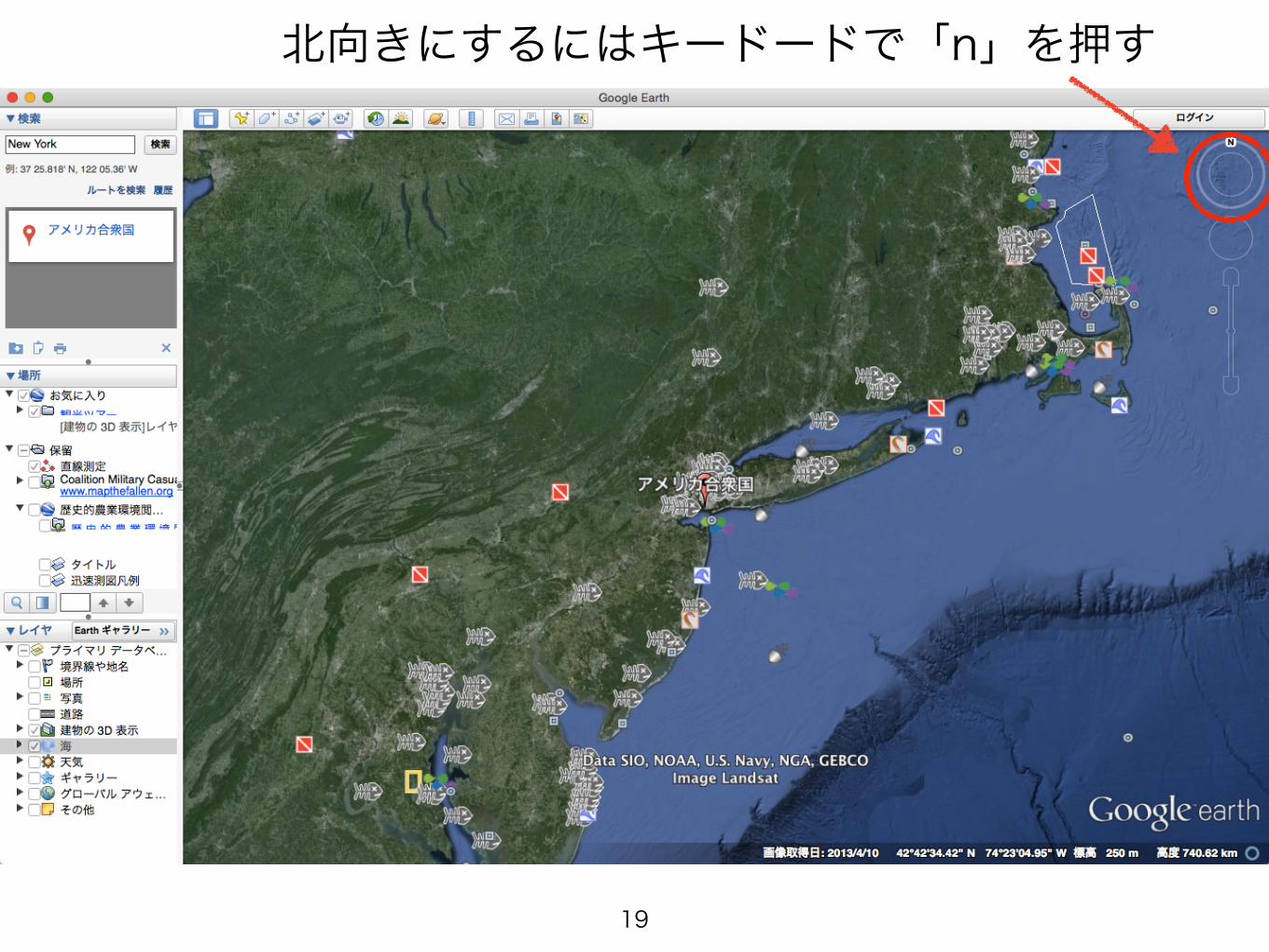
北向きにするにはキードードで「n」を押す
19
20
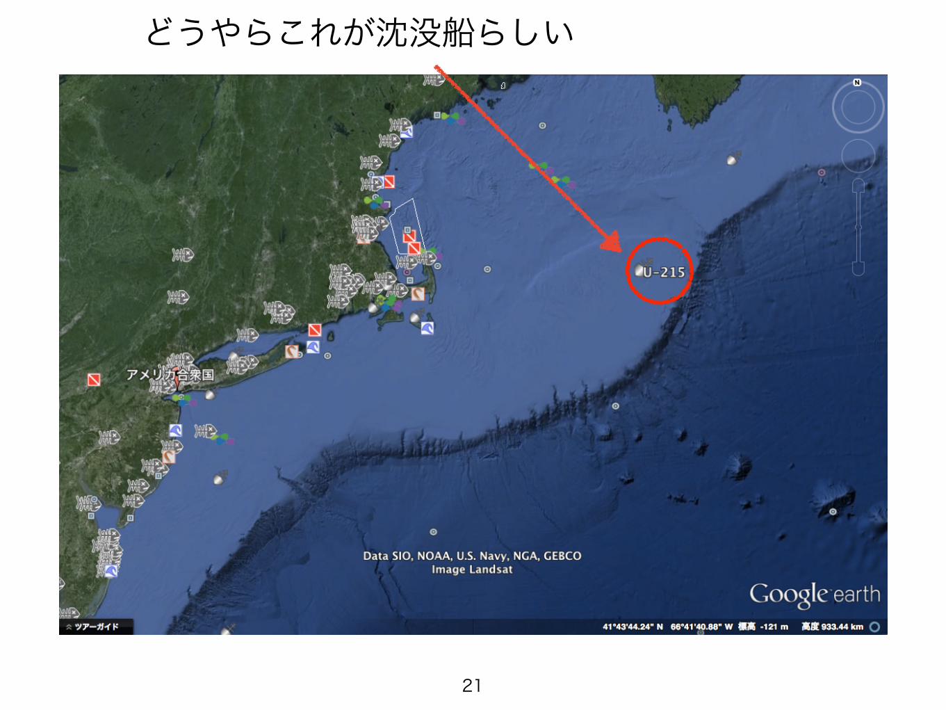
どうやらこれが沈没船らしい
21
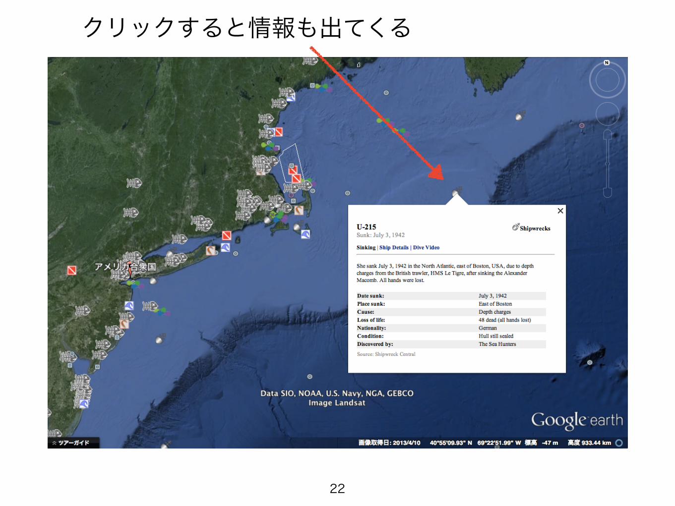
クリックすると情報も出てくる
22
23
24

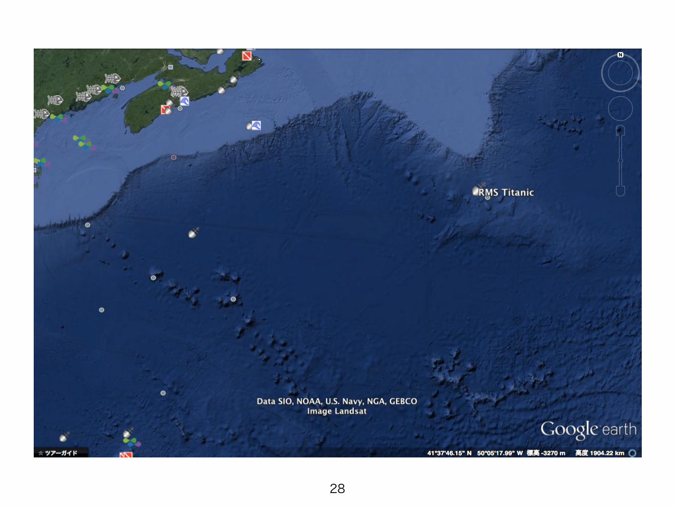
これっぽい
25
少し引いて見てみる
26
27
28
発見
29
30
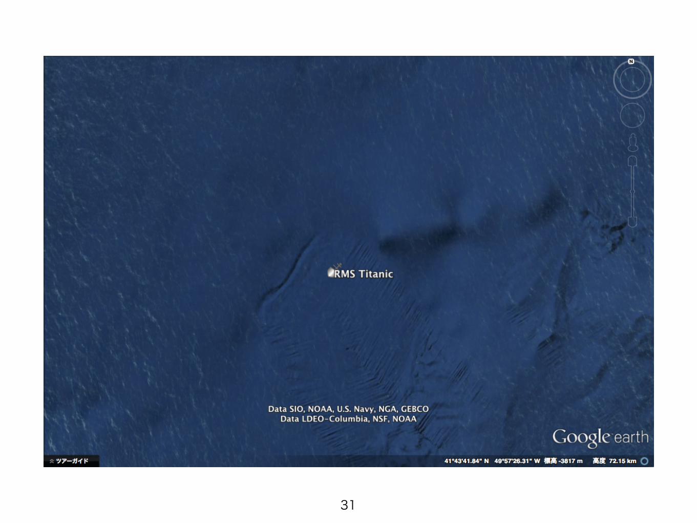
31
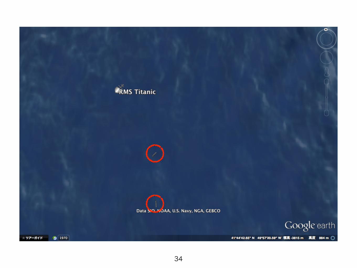
どんどん寄ると…
32
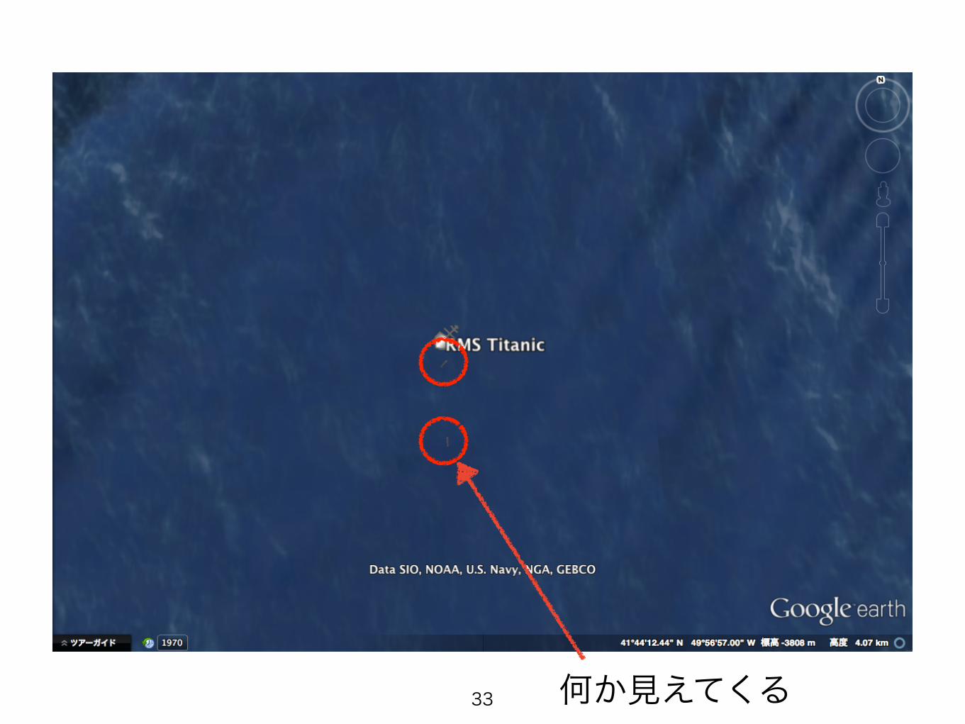
何か見えてくる33
34
35
36
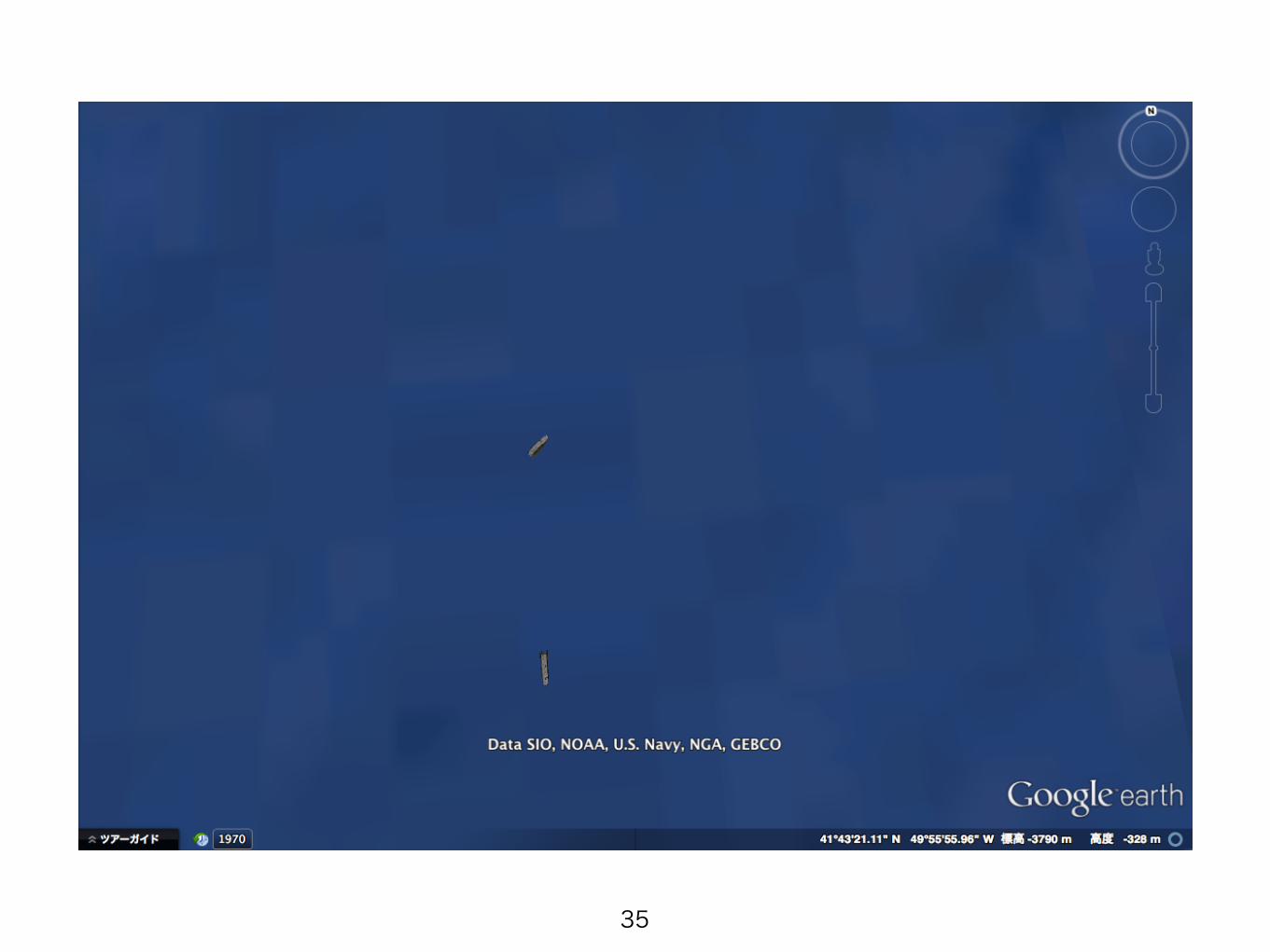
「Shift + ドラッグ」で視点を変えてみる
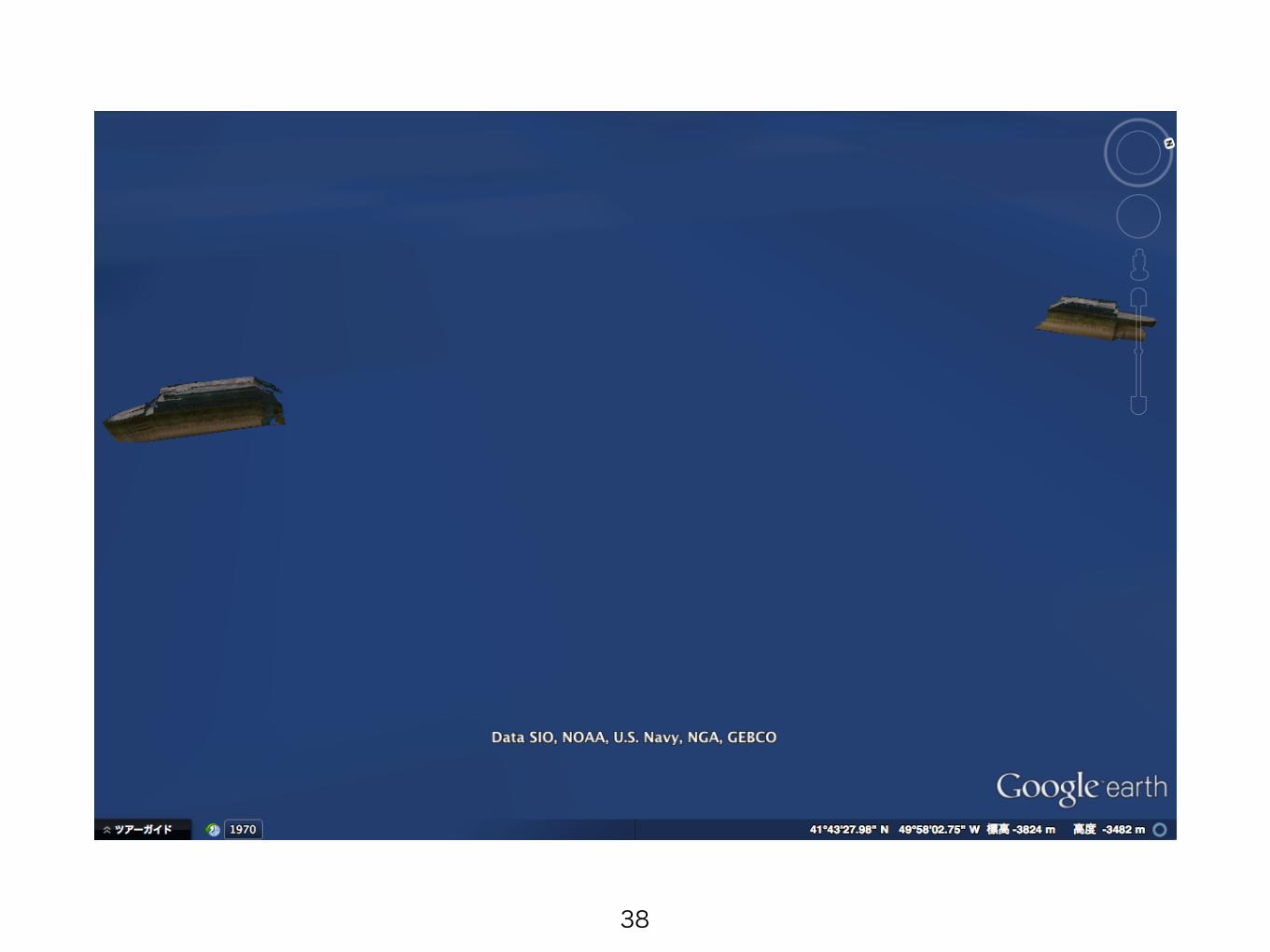
37
38
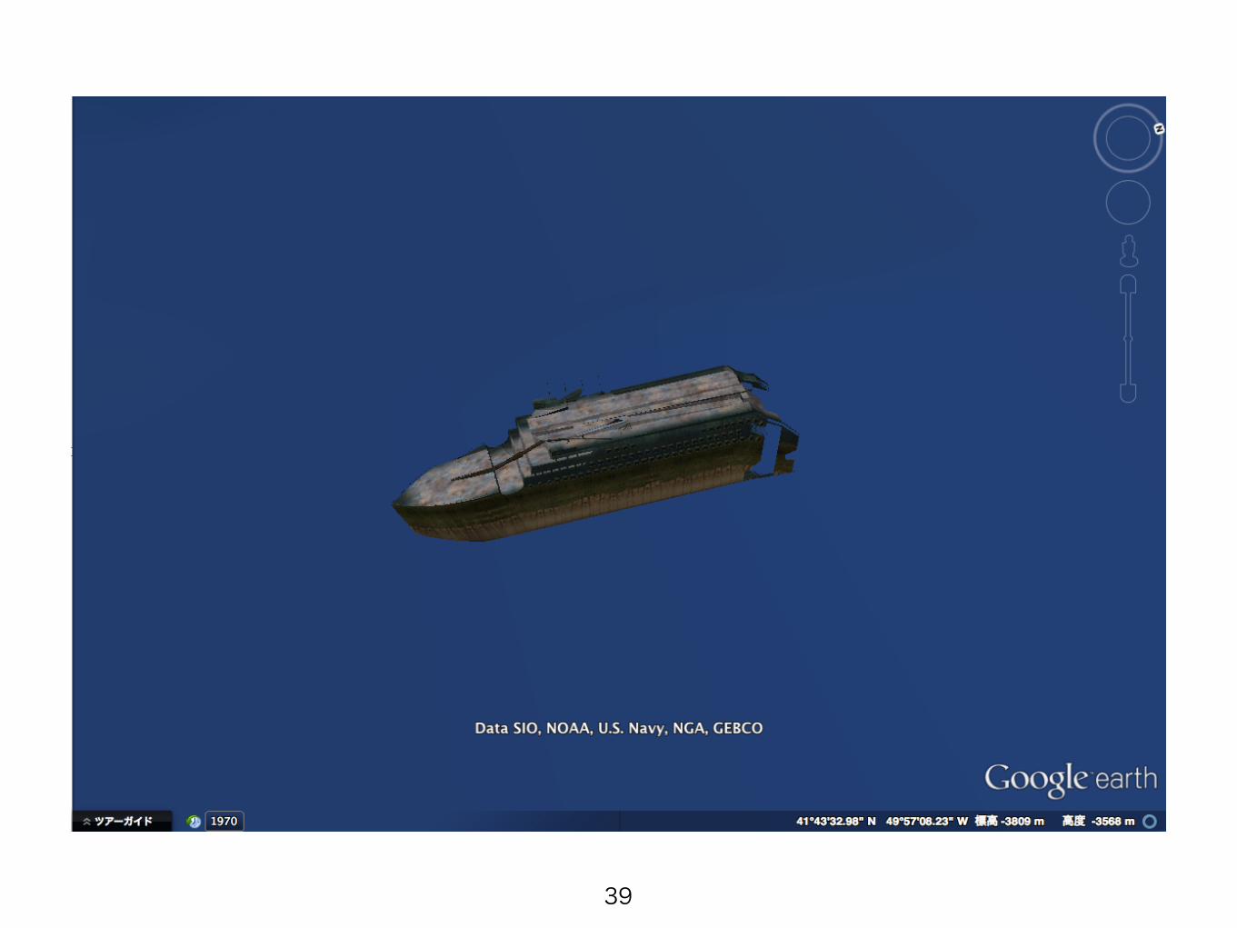
39
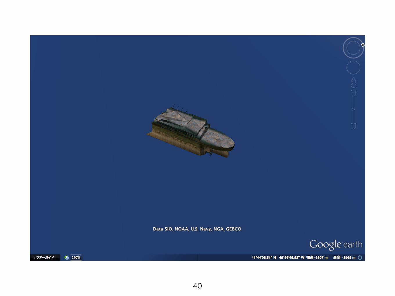
40
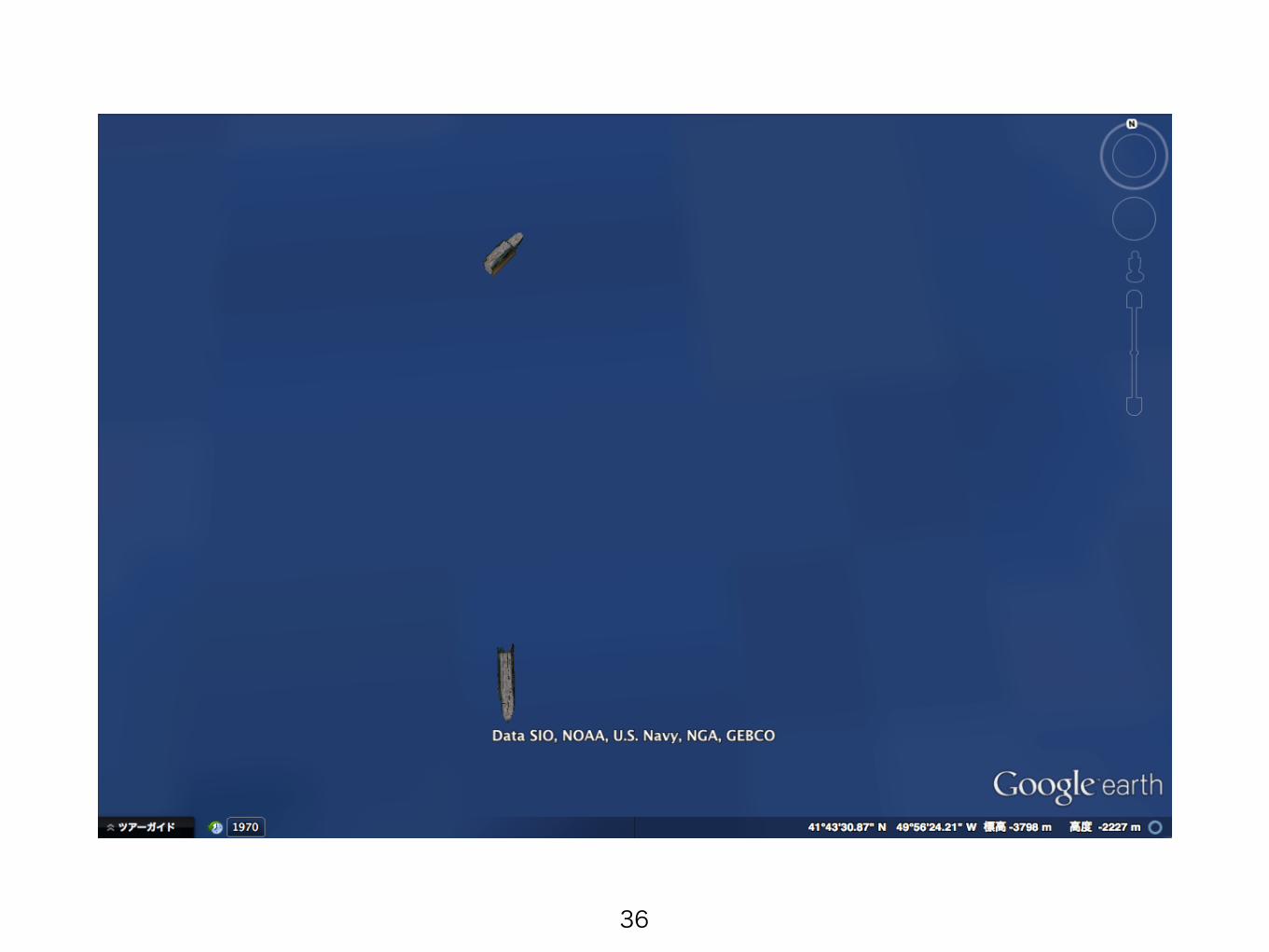
2つに割れたタイタニック号でした
41
海底に沈むタイタニック号を発見できました
42
以上です
43

![How to use Google Earth - KOCW · 2013. 3. 18. · How to use Google Earth Instructor: Join Mike Senise Institution: UCTV Dictated by: 김윤정, 이얼, 이유진, 이한빛 [0:00]](https://img.pdfslide.net/doc/110x75/5fc4b1de2dea681abe016541/how-to-use-google-earth-2013-3-18-how-to-use-google-earth-instructor-join.jpg)