Embed Size (px)
Citation preview

Let’s Talk Cartography!Stephanie Oliver – Boulder County Transportation
GIS in the Rockies, September 20, 2017


“Good cartography has been
figured out, and we don't
want to take steps
backward.” - Andy Woodruff
“Learn the rules, then break some.”

Bad Maps


• Title
• North arrow
• Scale bar
• Grid or graticule
• Legend
• Labels
• Location Map
• Notes about projection, coordinate system, datum,
data source(s) and any other pertinent details
• Who produced the map
Standard cartographic elements

What is the purpose of your map?
Who is the audience for your map?


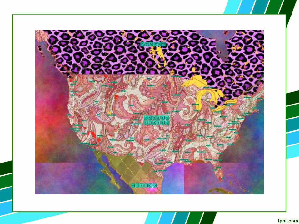
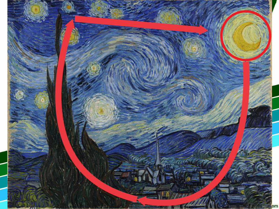
Treat Maps as… ART
Denver Southbound
by Ed Fairburn


Chroma
Value


“As for the matter of colour, what may be observed is simply without end. Those who have had no training in the way to see colour nearly always
deceive themselves into thinking that they see it as they know it is locally, whereas the trained eye sees colour due to relation and as it truly appears to be.”
– Gertrude Jekyll, Home and Garden


Color Design for the Color Vision Impaired – Jenny and Kelso, 2007
Color-blind readability

Protanopia Deuteranopia

Red Yellow/Green Blue/Purple


Color Design for the Color Vision Impaired – Jenny and Kelso, 2007
Color-blind readability


ArcGIS Online – Light Grey CanvasMapBox – MoonlightMapBox – Light Grey CanvasMapBox – North Star

FONTS


Serif vs Sans Serif

Suggested fonts for readability:
• Comic Sans• Helvetica• Courier
• Arial
• Verdana


Can you read this? No? Well, neither can your project manager.

*sobbing uncontrollably *
“Can we change the size of the map?”

• Resize the map in you current MXD
• Start with a new MXD

Reference Scale


Bookmarks
• Capture your favorite map extent
• Export and import bookmarks
• Can be used for QA/QC and shared among
colleagues
• Or…use it to rebuild your MXD!

Style Sheets


Templates

Save your template as an MXD
Load it using the Change Layout button
Note: MXT format is still supported but the file can be unstable
Cannot create new MXT files since ArcGIS 10.1

Annotation
• Advanced labeling technique
• Stored in a database or in map
• Scale dependent
• Not practical for every map


Fake it to make it…
PRETTY!

• Tricking the system
• Emulate someone else’s design,
standards, or symbology
• Using duplicate or “dummy” data

http://tinyurl.com/ArrowsInAnno

http://tinyurl.com/ContoursInArcGIS

Fonts:
• Time New Roman
• Calibri• Arial
• Myriad Pro
• Minion Pro

Beautiful Maps


https://earth.nullschool.net/

THANK YOU!
Special thanks to:
Kevin Sheehan – Manuscript Maps
http://www.manuscriptmaps.com/
Dave Watson – Boulder County Transportation
Boulder County Parks and Open Space
Stephanie Oliver
http://tinyurl.com/LetsTalkCartography