Embed Size (px)
Citation preview
®
Sponsored by Hosted by
Invitation to Monitoring & QoS Ad hoc
99th OGC Technical CommitteeDublin, Ireland
Ilkka Rinne / Spatineo20th June 2016
Copyright © 2016 Open Geospatial Consortium
OGC®
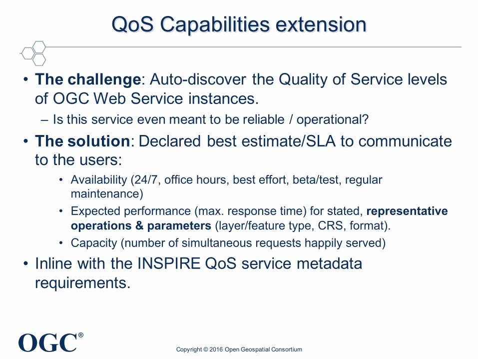
QoS Capabilities extension
• The challenge: Auto-discover the Quality of Service levels of OGC Web Service instances.– Is this service even meant to be reliable / operational?
• The solution: Declared best estimate/SLA to communicate to the users:
• Availability (24/7, office hours, best effort, beta/test, regular maintenance)
• Expected performance (max. response time) for stated, representative operations & parameters (layer/feature type, CRS, format).
• Capacity (number of simultaneous requests happily served)
• Inline with the INSPIRE QoS service metadata requirements.
Copyright © 2016 Open Geospatial Consortium
OGC®
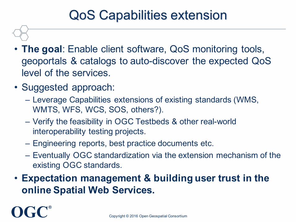
QoS Capabilities extension
• The goal: Enable client software, QoS monitoring tools, geoportals & catalogs to auto-discover the expected QoSlevel of the services.
• Suggested approach:– Leverage Capabilities extensions of existing standards (WMS,
WMTS, WFS, WCS, SOS, others?).– Verify the feasibility in OGC Testbeds & other real-world
interoperability testing projects.– Engineering reports, best practice documents etc.– Eventually OGC standardization via the extension mechanism of the
existing OGC standards.• Expectation management & building user trust in the
online Spatial Web Services.
Copyright © 2016 Open Geospatial Consortium
OGC®
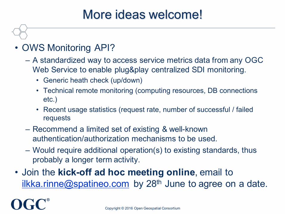
More ideas welcome!
• OWS Monitoring API?– A standardized way to access service metrics data from any OGC
Web Service to enable plug&play centralized SDI monitoring.• Generic heath check (up/down)• Technical remote monitoring (computing resources, DB connections
etc.)• Recent usage statistics (request rate, number of successful / failed
requests– Recommend a limited set of existing & well-known
authentication/authorization mechanisms to be used.– Would require additional operation(s) to existing standards, thus
probably a longer term activity.• Join the kick-off ad hoc meeting online, email to
[email protected] by 28th June to agree on a date.
Copyright © 2016 Open Geospatial Consortium