Embed Size (px)
Citation preview

QGIS Server: The Good, the Not-so-Good and the Ugly
Fiona Hemsley-Flint
EDINA
Digimap
• Online mapping portal for data from:
• Available to HE and FE
• Currently 22,000 active users
• 25 million screen maps in last year
• 500,000 print requests per year
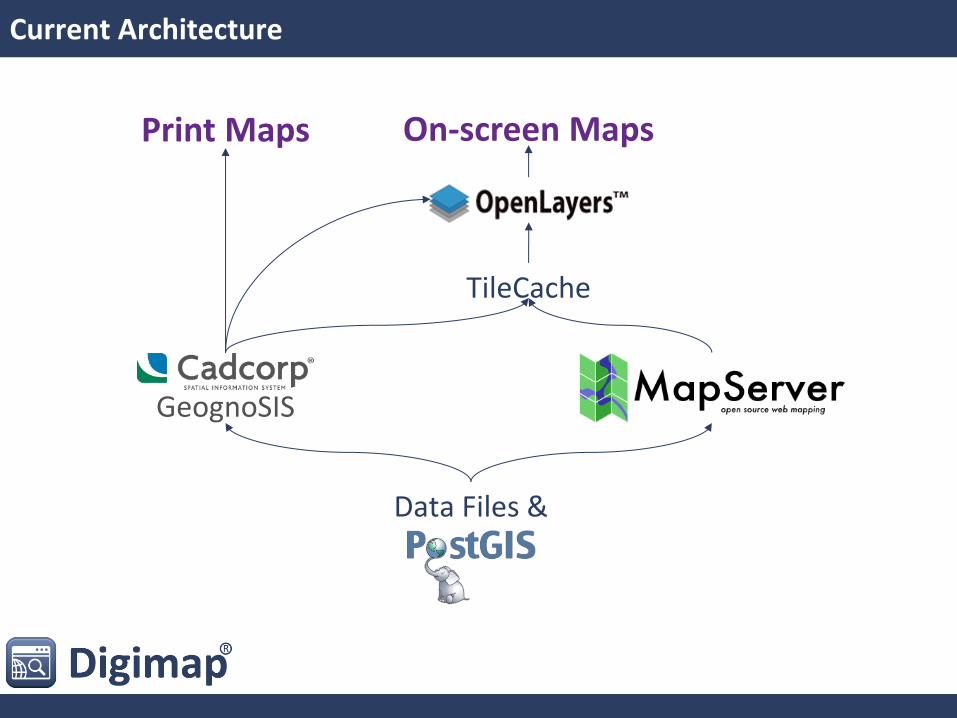
Current Architecture
TileCache
On-screen Maps Print Maps
Data Files &
GeognoSIS
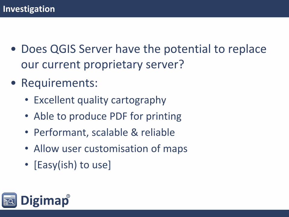
Investigation
• Does QGIS Server have the potential to replace our current proprietary server?
• Requirements:
• Excellent quality cartography
• Able to produce PDF for printing
• Performant, scalable & reliable
• Allow user customisation of maps
• [Easy(ish) to use]
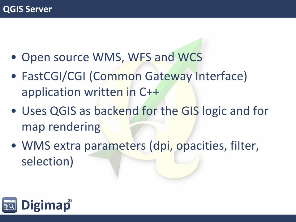
QGIS Server
• Open source WMS, WFS and WCS
• FastCGI/CGI (Common Gateway Interface) application written in C++
• Uses QGIS as backend for the GIS logic and for map rendering
• WMS extra parameters (dpi, opacities, filter, selection)
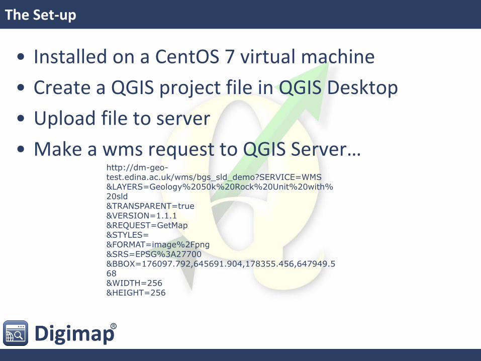
The Set-up
• Installed on a CentOS 7 virtual machine
• Create a QGIS project file in QGIS Desktop
• Upload file to server
• Make a wms request to QGIS Server… http://dm-geo-test.edina.ac.uk/wms/bgs_sld_demo?SERVICE=WMS &LAYERS=Geology%2050k%20Rock%20Unit%20with%20sld &TRANSPARENT=true &VERSION=1.1.1 &REQUEST=GetMap &STYLES= &FORMAT=image%2Fpng &SRS=EPSG%3A27700 &BBOX=176097.792,645691.904,178355.456,647949.568 &WIDTH=256 &HEIGHT=256
The Challenge
• Replicate cartographic style for:
• BGS’s DiGMapGB-50
• OS’s Open Map Local in our greyscale styling
• Replicate our current A4 print template
• Options for map customisation
• Test performance
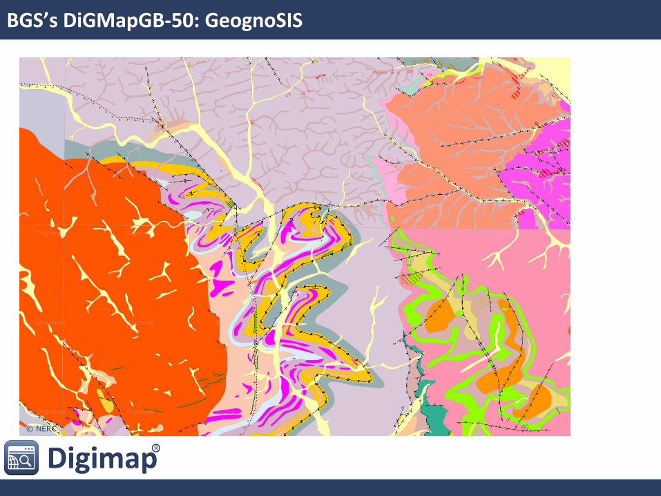
BGS’s DiGMapGB-50: GeognoSIS
© NERC
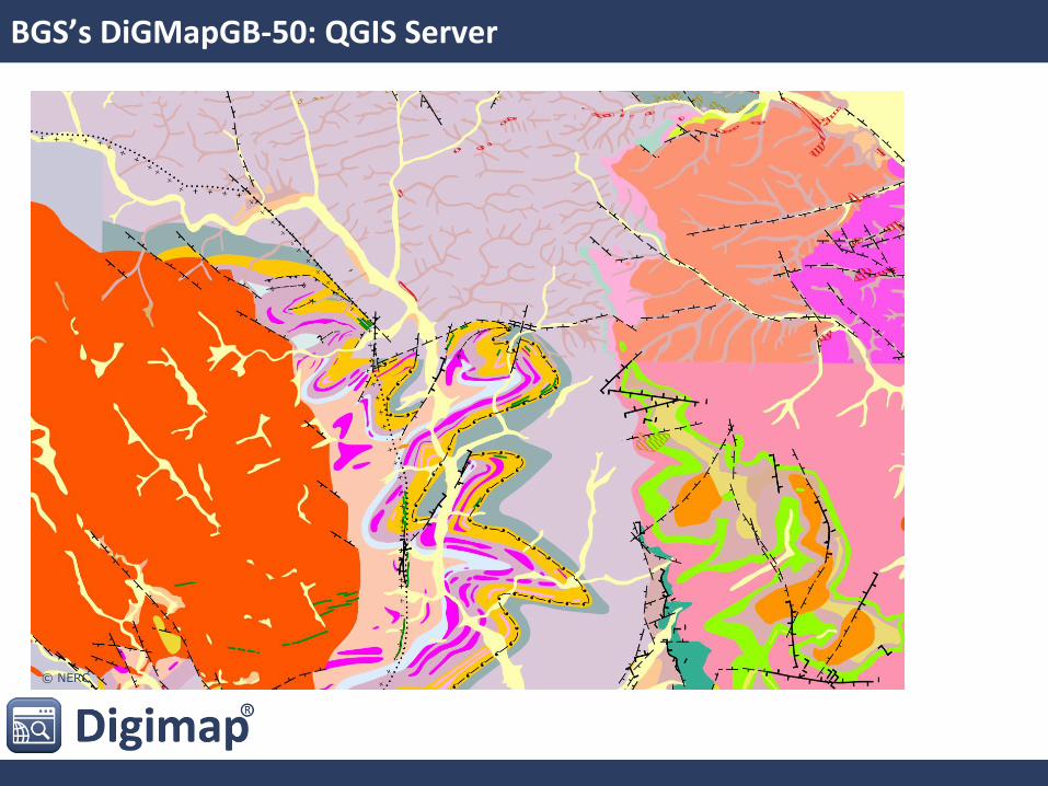
BGS’s DiGMapGB-50: QGIS Server
© NERC
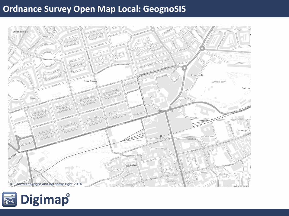
Ordnance Survey Open Map Local: GeognoSIS
© Crown copyright and database right 2016
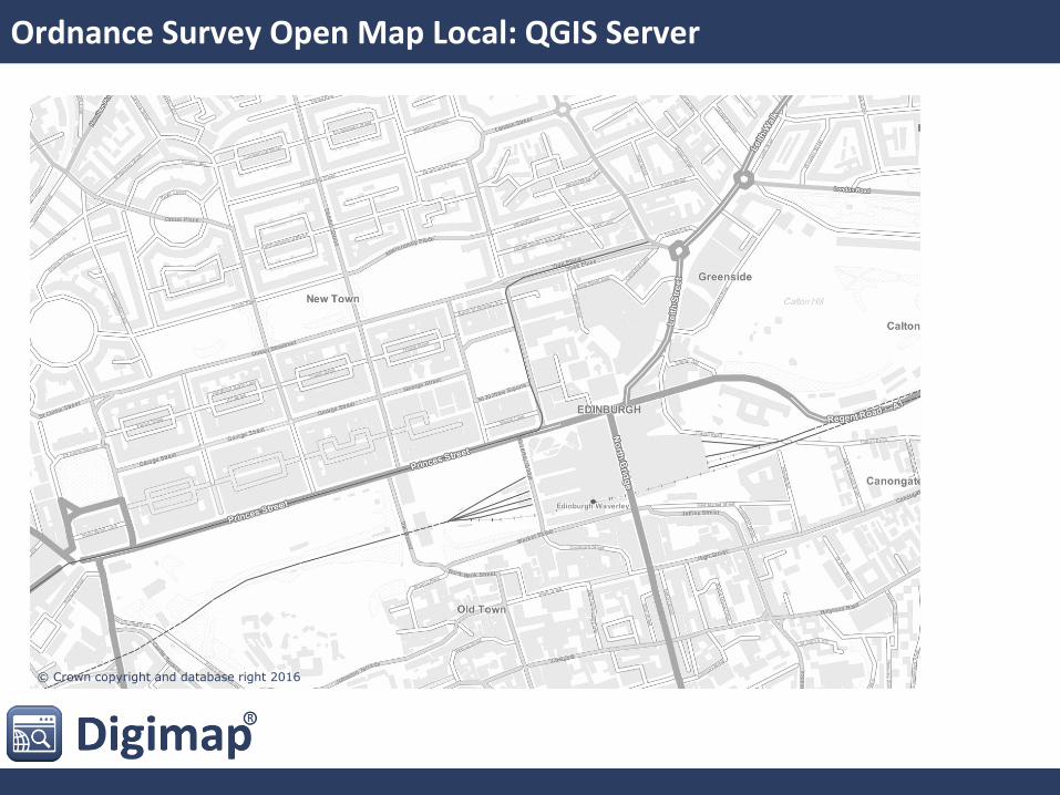
Ordnance Survey Open Map Local: QGIS Server
© Crown copyright and database right 2016
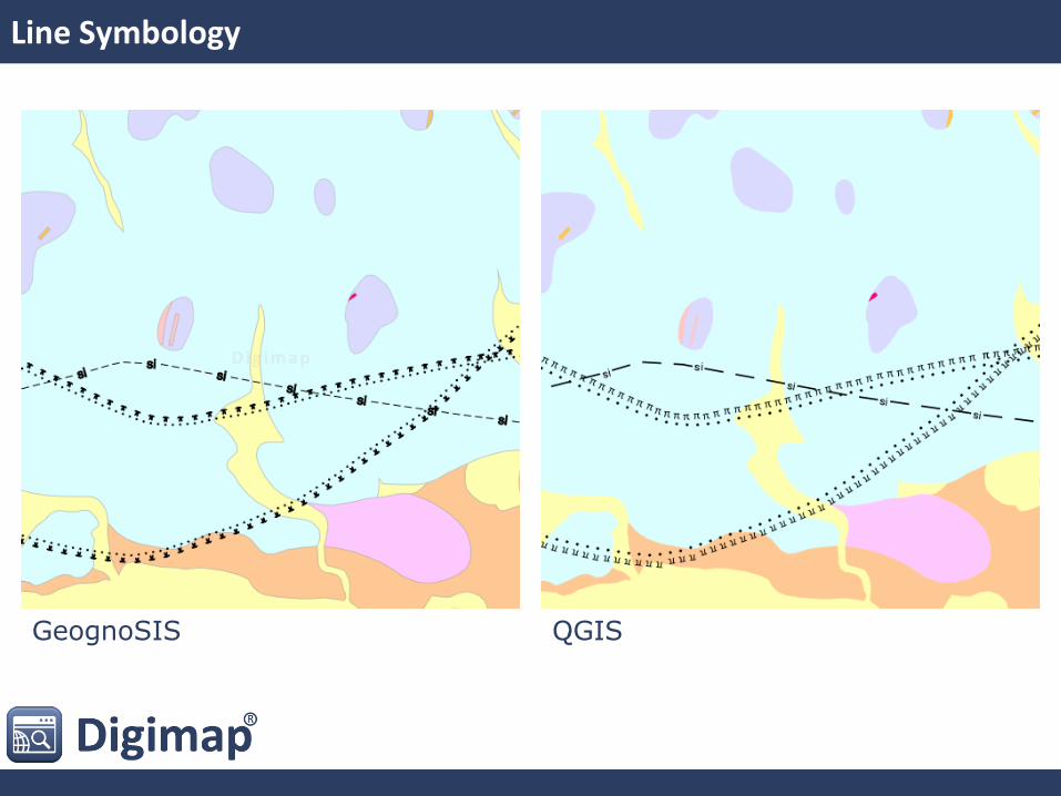
Line Symbology
GeognoSIS QGIS
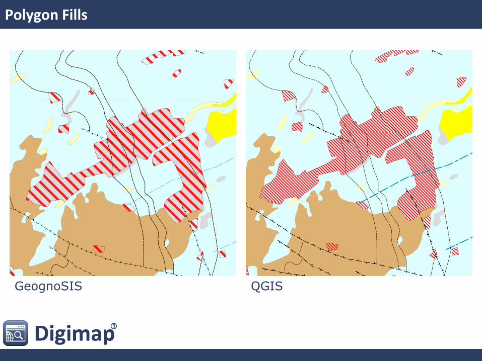
Polygon Fills
GeognoSIS QGIS

Labelling
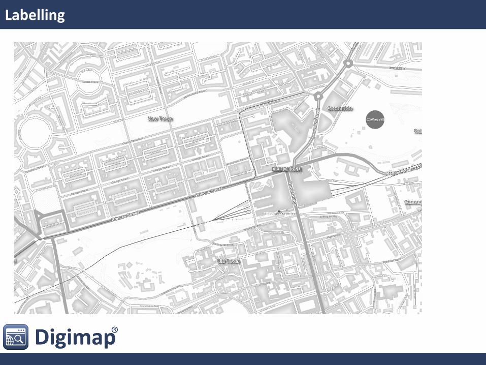
Labelling
Cartography: Summary
• Good:
• Can replicate styles
• Import as SLD
• Has additional features missing in GeognoSIS
• Not So Good:
• Can be a bit complex to get spacing and scaling correct on linework
• Ugly:
• WMS tiling results in edge effects on labels and polygon fill patterns
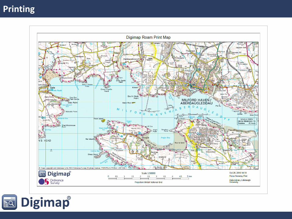
Printing
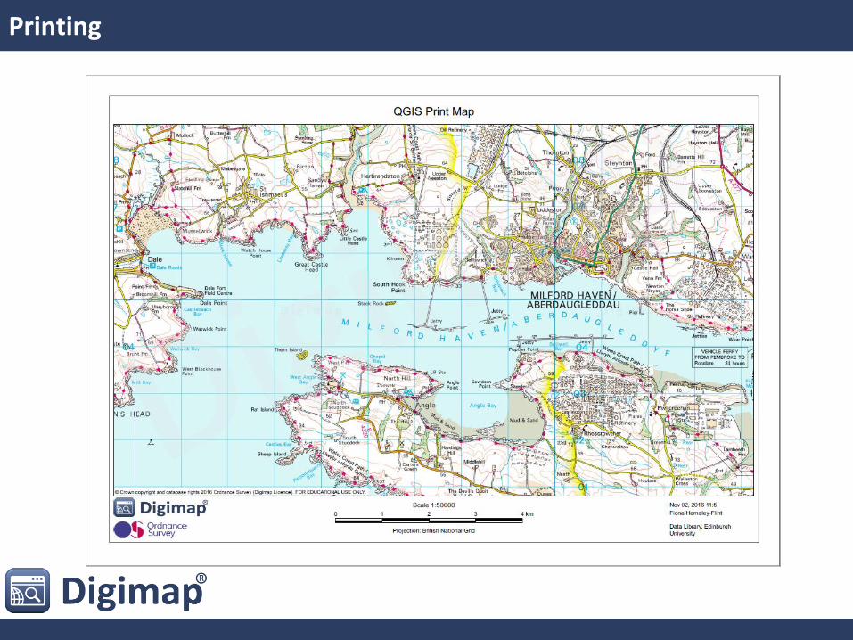
Printing
Printing: Summary
• Good:
• It is possible!
• Not So Good:
• Seems rather complicated to get bbox/scale correct
• Scale bar tricky to get right, but we have had to do some customisation to GeognoSIS for this too.
• Ugly:
• Dodgy minutes in time report

Map Customisation
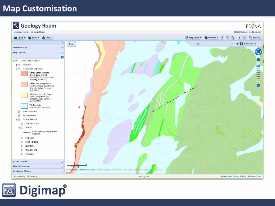
Map Customisation
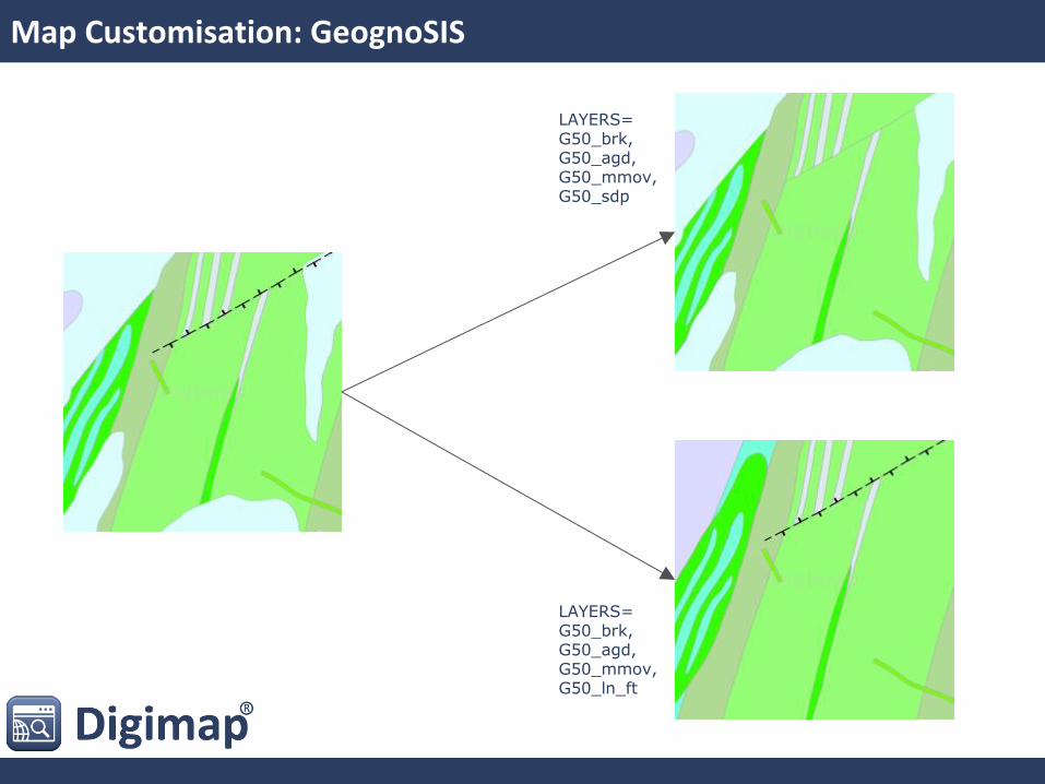
Map Customisation: GeognoSIS
LAYERS= G50_brk, G50_agd, G50_mmov, G50_ln_ft
LAYERS= G50_brk, G50_agd, G50_mmov, G50_sdp
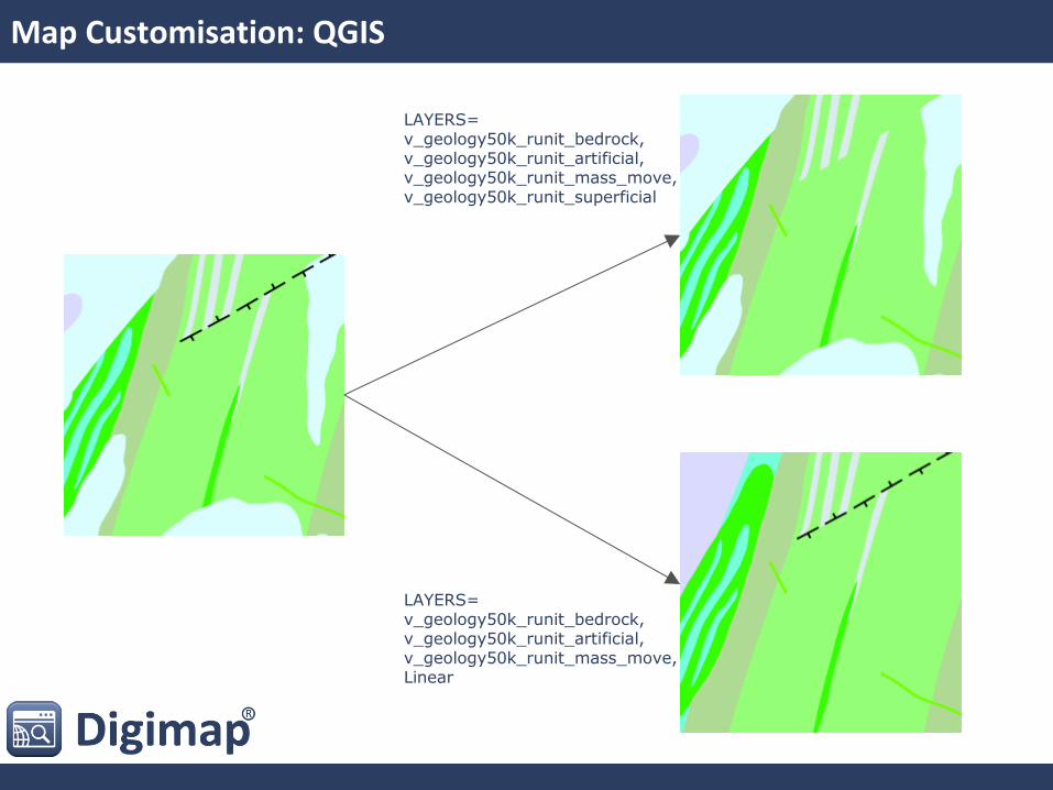
Map Customisation: QGIS
LAYERS= v_geology50k_runit_bedrock, v_geology50k_runit_artificial, v_geology50k_runit_mass_move, Linear
LAYERS= v_geology50k_runit_bedrock, v_geology50k_runit_artificial, v_geology50k_runit_mass_move, v_geology50k_runit_superficial
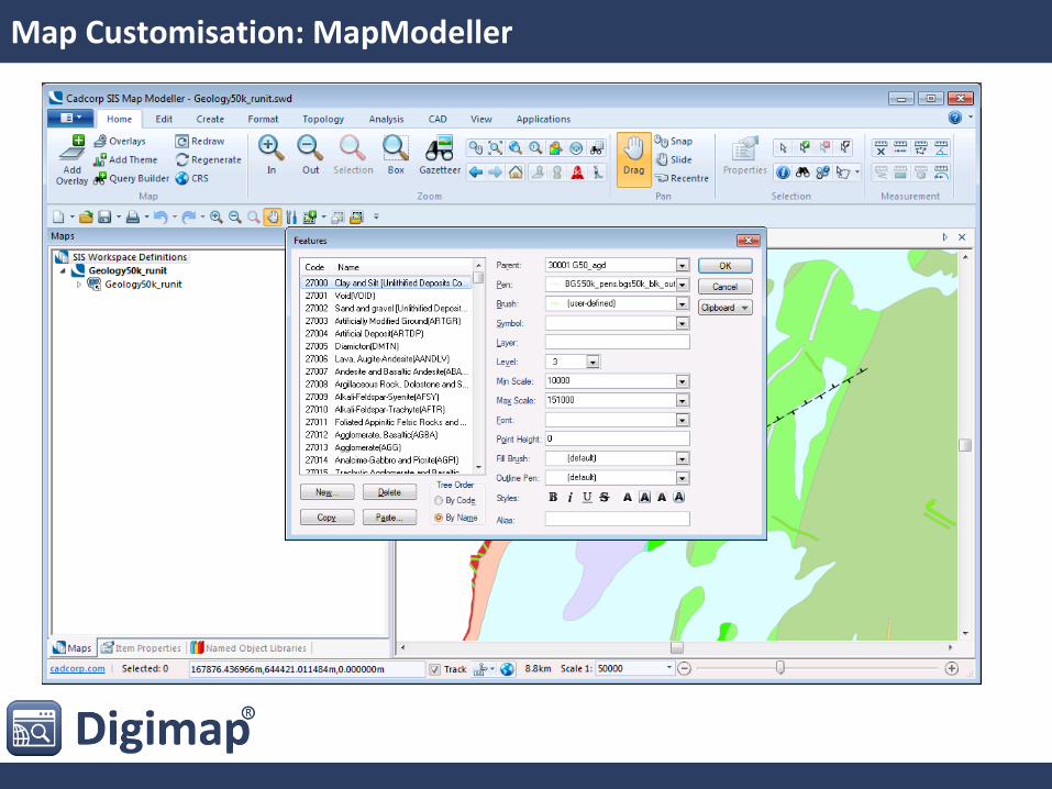
Map Customisation: MapModeller
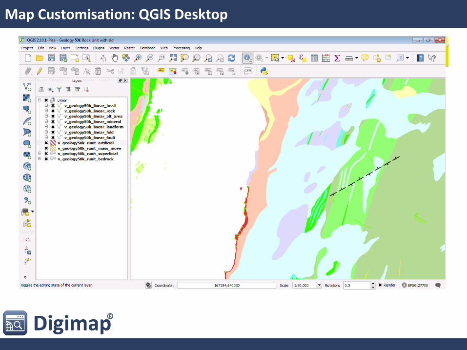
Map Customisation: QGIS Desktop
Map Customisation: Summary
• Good:
• It is possible
• Not So Good:
• It’s quite complex, and potentially hard to implement and retain levelling
• Ugly:
• Not much, but reminds me that you can’t call mixed geometry tables in QGIS
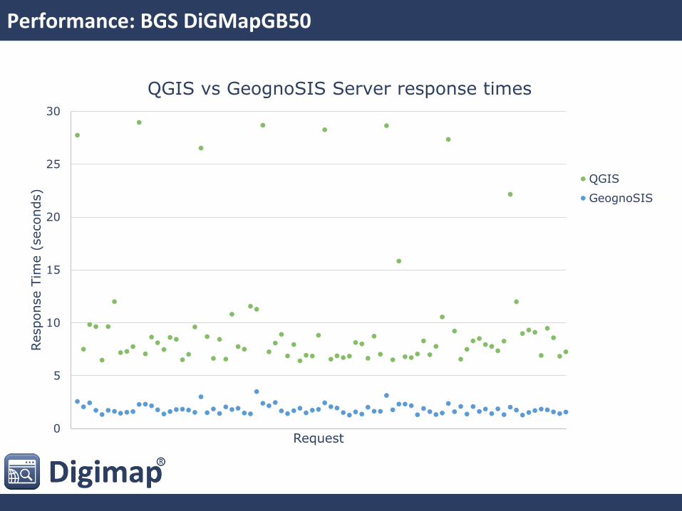
Performance: BGS DiGMapGB50
0
5
10
15
20
25
30
Response T
ime (
seconds)
Request
QGIS vs GeognoSIS Server response times
QGIS
GeognoSIS
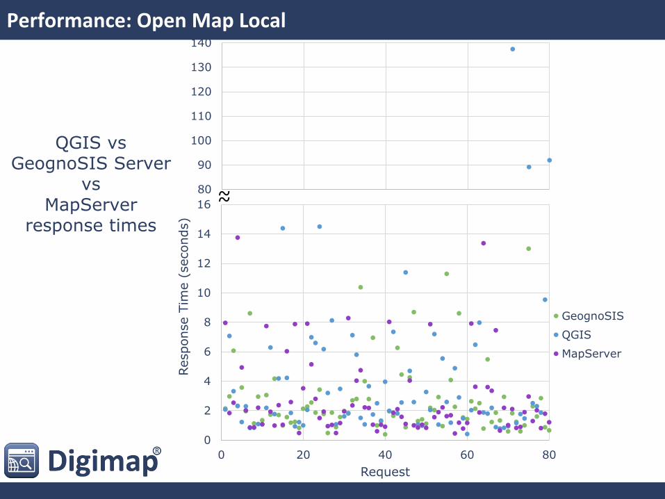
Performance: Open Map Local
80
90
100
110
120
130
140
0
2
4
6
8
10
12
14
16
0 20 40 60 80
Response T
ime (
seconds)
Request
GeognoSIS
QGIS
MapServer
~ ~
QGIS vs GeognoSIS Server
vs MapServer
response times
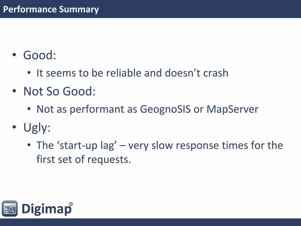
Performance Summary
• Good:
• It seems to be reliable and doesn’t crash
• Not So Good:
• Not as performant as GeognoSIS or MapServer
• Ugly:
• The ‘start-up lag’ – very slow response times for the first set of requests.
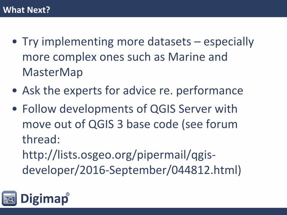
What Next?
• Try implementing more datasets – especially more complex ones such as Marine and MasterMap
• Ask the experts for advice re. performance
• Follow developments of QGIS Server with move out of QGIS 3 base code (see forum thread: http://lists.osgeo.org/pipermail/qgis-developer/2016-September/044812.html)
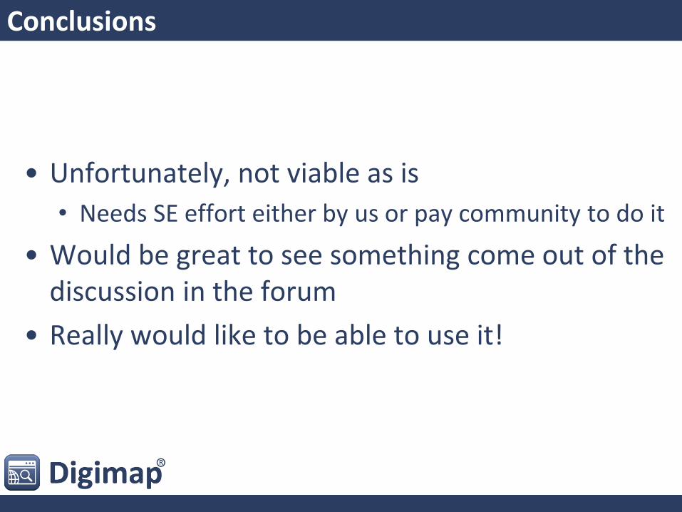
Conclusions
• Unfortunately, not viable as is
• Needs SE effort either by us or pay community to do it
• Would be great to see something come out of the discussion in the forum
• Really would like to be able to use it!
Other Users
Faunalia
[email protected] digimap.edina.ac.uk
Resources
• http://docs.qgis.org/2.14/en/docs/user_manual/working_with_ogc/ogc_server_support.html
• http://hub.qgis.org/projects/quantum-gis/wiki/QGIS_Server_Tutorial
• https://anitagraser.com/2012/04/06/qgis-server-on-windows7-step-by-step/