Embed Size (px)
Citation preview
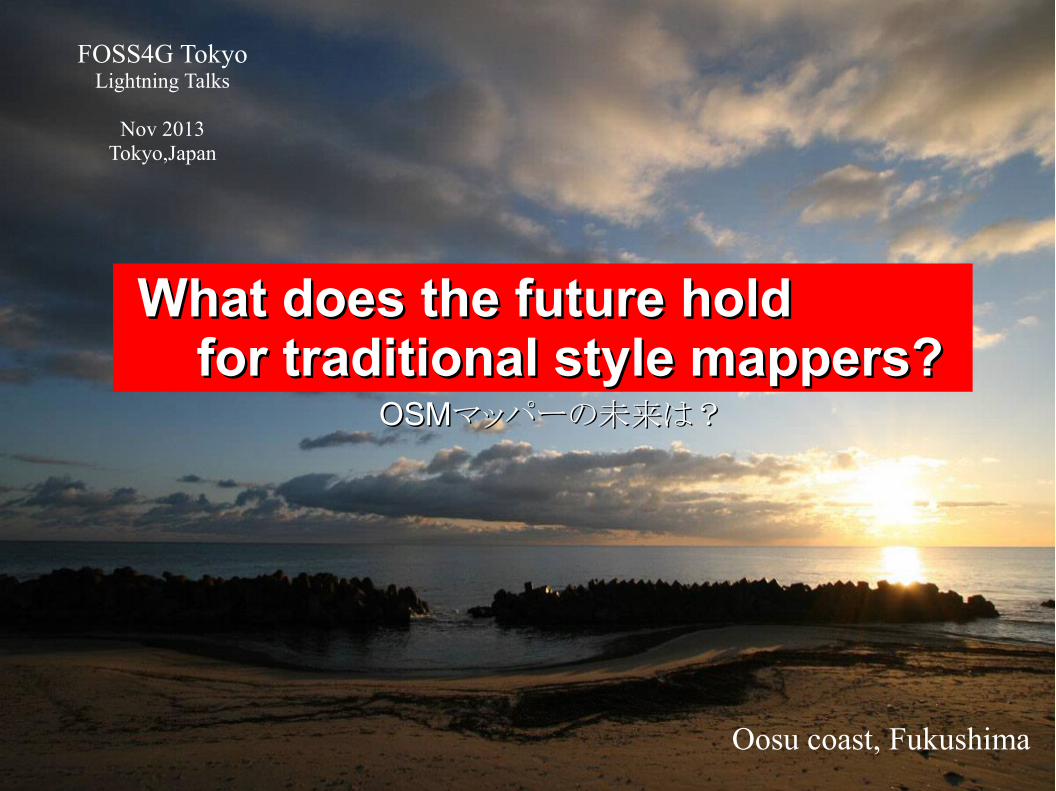
What does the future hold What does the future hold for traditional style mappers?for traditional style mappers?
Oosu coast, Fukushima
FOSS4G TokyoLightning Talks
Nov 2013Tokyo,Japan
OSMOSMマッパーの未来は?マッパーの未来は?

'Where did you contribute to OpenStreetMap? ' http://yosmhm.neis-one.org/?ikiya
I'm Ikiya.I live in Fukushima, Japan.I've mapped Japan and other countris.Sorry, my english is not so fluent.
Self-introduction

GPS Mapping
What does the future hold for traditional style mappers?
OpenStreetMapにおけるGPSマッピングとは

OpenStreetMapは白紙の状態から自分たちで地図を描き始めました。
2007年Tokyoの書き始めです。
決して他の地図や情報を写すことなく、GPSログと使用が許される情報のみで地図を描きます。
OpenStrtMap
OpenStreetMap白紙から地図を書きます。
地図を描くためには下絵が必要!
自由に使える下絵とは?

下絵となるのは
位置情報を持ったGPSログ

OpenStreetMap白紙から地図を書きます。
GPSログ
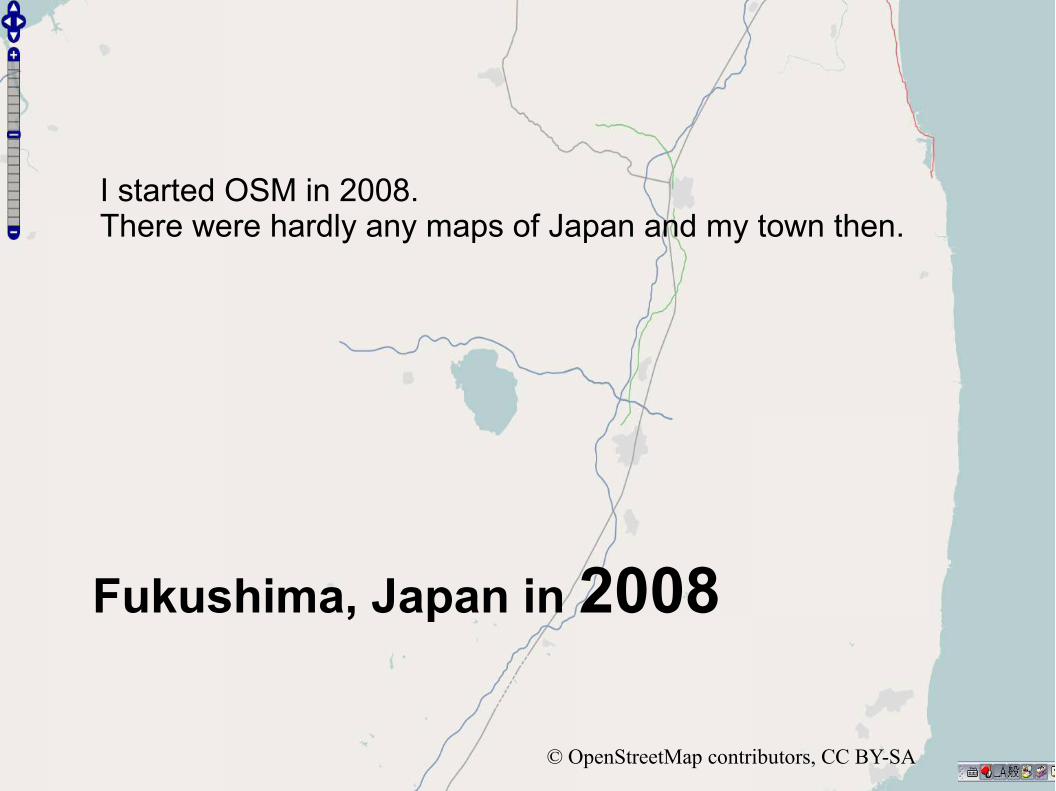
I started OSM in 2008.There were hardly any maps of Japan and my town then.
Fukushima, Japan in 2008
© OpenStreetMap contributors, CC BY-SA

These are my GPS Logs of the Fukushima area.

Fukushima,Japan in 2013© OpenStreetMap contributors, CC BY-SA
I spent many hours mapping towns on foot and by car using a GPS.

Walking a lot and recording a lot of points was necessary for detailed mapping in Japan.I did a lot of walking and driving to record these GPS logs.

Tsuruga-jo Castle in Aizu Wakamatsu, Fukushima
This is Tsuruga-jo castle in Fukushima, Japan.You may have heard of Tsuruga-jo castle through OSM.

Tsuruga-jo Castle in Aizu Wakamatsu, Fukushima
I spent 6 months mapping this castle using GPS logs and data I collected on-site.

Mapping of Tsuruga-jo Castle Logs
These are my Tsuruga-jo Logs.

The outer perimeter of Tsuruga-jo Castle is about 2.5km.I wanted to map it in detail mapping.On some days I walked up to 23km collecting data fromthe outer regions of the castle.

Before Mapping of Tsuruga-jo Castle
© OpenStreetMap contributors, CC BY-SA

After Mapping of Tsuruga-jo Castle
© OpenStreetMap contributors, CC BY-SA

Creating maps from scratch using a GPS takes time and effort but is very satisfying.

The introduction of Bing images - 2010
What does the future hold for traditional style mappers?
OpenStreetMapにおけるBing衛星写真の利用
http://wiki.openstreetmap.org/wiki/Bing
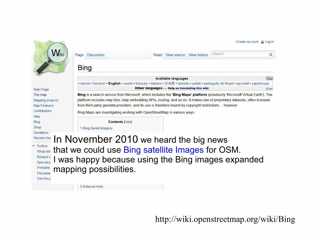
In November 2010 we heard the big news that we could use Bing satellite Images for OSM.I was happy because using the Bing images expanded mapping possibilities.

But at the same time I was sad.When I realized the amount of information and detail collected through Bing images.I could see that maps such as those I created on foot with a GPSwould start to replaced by maps created using high resolution satellite images.
Yokomaha CityUse of Bing images in OSM

Many of the maps that I have spent months creating using GPS logs and logging photos cannot compete with the information and detail of Bing Images.
Tokyo Station
Use of Bing images in OSM

Tokyo, Kamakura, Yokohama・・・Many of the places we spent time GPS mapping hold deep memories for us.But with the advance of tracing using Bing images,I can see that the maps I created will soon be replaced.

Even so, I'm a mapper!I was happy to be able to use Bing Images in Japanand have spent many hours tracing Bing Images, and thinking about how I could trace best.I have traced several thousand buildings and roads around Japan.“Red = ikiya”
Yokohama, Japanito! OSM Mapperhttp://www.itoworld.com/static/openstreetmap_tools/osm_mapper.html

In 9 months, I traced 16,000 buildings in central Tokyo using Bing images. Red=ikiya
Tokyo, Japanito! OSM Mapperhttp://www.itoworld.com/static/openstreetmap_tools/osm_mapper.html

But in Japan, something even more sensational for me was to come.

The introduction of KIBAN - 2012
KIBAN Chizu Joho (Fundamental Geospatial Data )http://wiki.openstreetmap.org/wiki/JA:GSI_KIBAN
What does the future hold for traditional style mappers?
OpenStreetMapにおける基盤地図情報の利用

In 2011, the Geospatial Information Authority of Japan (GSI) decided to allow people to use the government's mapping data called Kiban Chizu Joho (KIBAN), on OSM.This would allow people to trace KIBAN illustrations but would not allow the importing of data.
http://wiki.openstreetmap.org/wiki/JA:GSI_KIBAN

基盤地図情報閲覧サービス http://fgd.gsi.go.jp/view/
Fundamental Geospatial Data ;KIBAN Chizu Joho(GSI)
This is a sample of Kiban Chizu Joho of GSI data. (1/2,500 scale)

http://wiki.openstreetmap.org/wiki/JA:GSI_KIBAN/Using_GSI_KIBAN_WMS
In 2012, it became possible to use KIBAN as an underlay when editing data on TMS.

Although KIBAN data is not as new as Bing Images,it is more accurate and even in its coverage of cities.Also, with Bing, it is necessary to interpret images to determine roads or buildings.However, because this is not necessary with KIBAN.Map-making has become faster and more accurate.
In 10 months, I traced 70,000 buildings using KIBAN data. Red=ikiya
ito! OSM Mapperhttp://www.itoworld.com/static/openstreetmap_tools/osm_mapper.html

Looking back over my experiences over the last few years, I see this.Maps created over many months with a GPS have replaced with more accurate maps created using Bing.Maps created over many months using Bing images have been replaced with maps created using even more accurate data.
What do you, as OSM Mappers, think of this?
To be honest, 'the mapper in me' feel sad.

It seems to me that we are moving more towardsopen data and open governments.I for see that even more accurate and detailed data sources will be used on OSM in the future. Should this progress be stopped?今後、OSMへのより精度が高く、詳細なデータの利用は進むでしょう。
Yokomaha City

Bus stop data collected by riding buses for many months May be replaced by even more detailed data released by governments.The same may be said of Street maps created over many months using satellite images and GPS mapping.長い時間をかけてマッピングしたバス停データがインポートされたデータで置き換わるようなことがコツコツ衛星写真やGPSでマッピングした地図においても起こるでしょう。

Mappers and Change
What does the future hold for traditional style mappers?
マッパーと変化:諸行無常

I have spent many hours thinking about this, I have spent many hours thinking about this, But as permission to use the data has been given,But as permission to use the data has been given,I cannot find a reason not to use this I cannot find a reason not to use this more detailed and accurate data.more detailed and accurate data.長い間、マッパーとしてこのことについて考えてきました。長い間、マッパーとしてこのことについて考えてきました。
Underlying this is my opinion that OSM should not be Underlying this is my opinion that OSM should not be a community just for mappers a community just for mappers - it should be a community for all people.- it should be a community for all people.Even if long hours have been spent creating a map, Even if long hours have been spent creating a map, if a better map is produced, it should be the one used.if a better map is produced, it should be the one used.
Oosu coast, Fukushima

As mappers who come into direct contact with mapping data, As mappers who come into direct contact with mapping data, our roles and presence will changes as OSM grows our roles and presence will changes as OSM grows and its environment changes.and its environment changes.
The driving force behind OSM is the community and people, The driving force behind OSM is the community and people, and I hope it always will be.and I hope it always will be.
OpenStreetMapOpenStreetMapのフォースはコミュニティであり人である。のフォースはコミュニティであり人である。このことは今までも、そして今後も変わらないと思います。このことは今までも、そして今後も変わらないと思います。

The role of Mappers is to link OSM and people going about their daily lives.If you look around, you will see that as mappers, there are still many things we can do.As for me, I will continue to map with GPS and Bing trace and KIBAN trace as always.
試行錯誤する中で、今後も私はGPS、衛星写真、基盤地図情報・・・を使ってOSMマッピングを続けるでしょう。
一連の思いに答えが見えた最近です。
答えは 「先人を越えて:地図」 でした。来年のOSMカンファレンステーマなるかも?

Thank you for listening to the ramblings of a mapper !
FOSS4G TokyoLightning Talks