Embed Size (px)
Citation preview
Old maps in
Moravian LibraryJiří Dufka
Moravská zemská knihovna v Brně
Brno, Czech Republic
The maps printed before 1850
Moll's Collection Maps sheets printed before 1850 Atlases printed before 1850
Some maps are preserved in books and atlases, some maps and most of the atlases are registered as books.
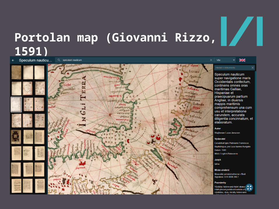
Portolan map (Giovanni Rizzo, 1591)
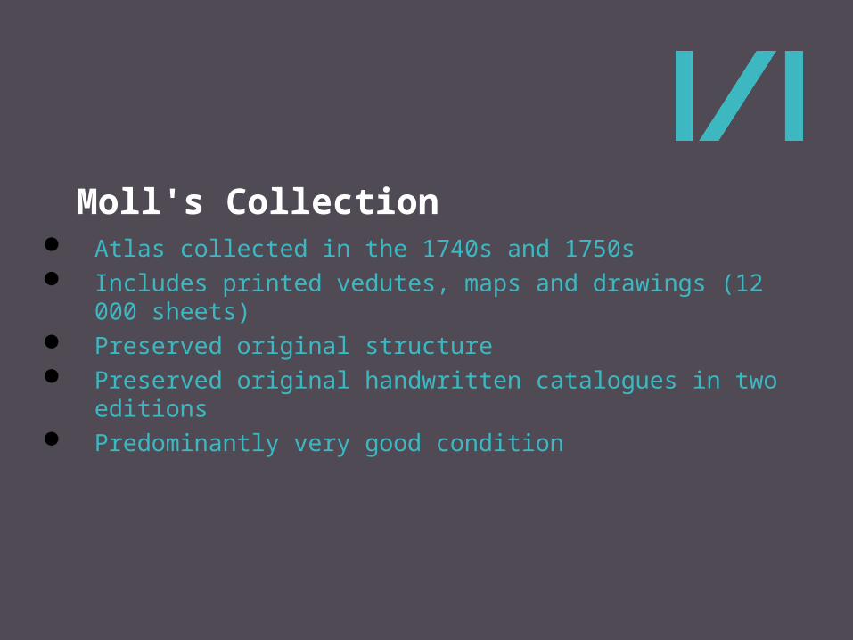
Moll's Collection
Atlas collected in the 1740s and 1750s Includes printed vedutes, maps and drawings (12 000 sheets) Preserved original structure Preserved original handwritten catalogues in two editions Predominantly very good condition
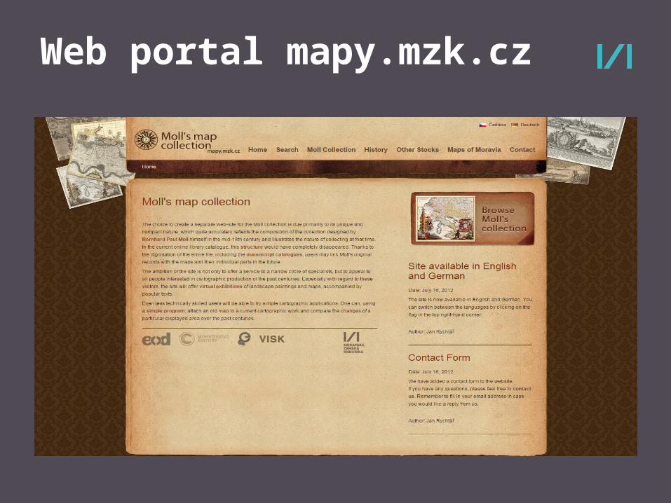
Web portal mapy.mzk.cz
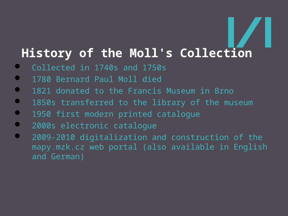
History of the Moll's Collection Collected in 1740s and 1750s 1780 Bernard Paul Moll died 1821 donated to the Francis Museum in Brno 1850s transferred to the library of the museum 1950 first modern printed catalogue 2000s electronic catalogue 2009-2010 digitalization and construction of the mapy.mzk.cz web
portal (also available in English and German)
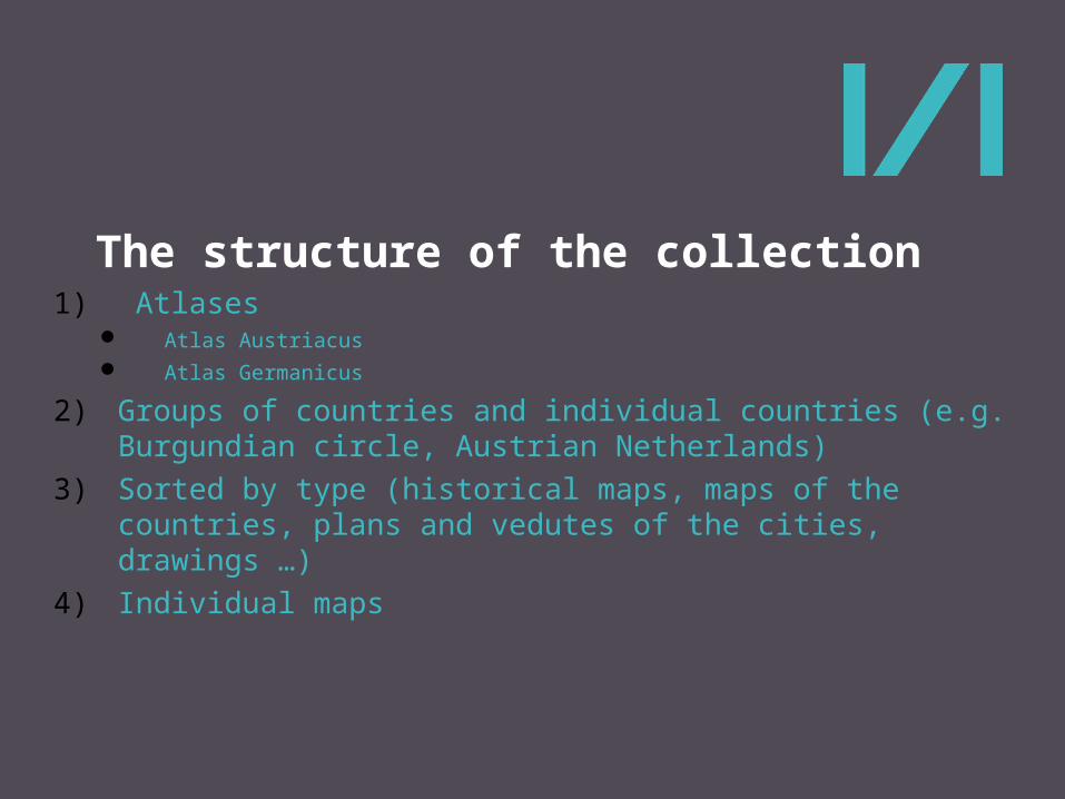
The structure of the collection
1) Atlases Atlas Austriacus Atlas Germanicus
2) Groups of countries and individual countries (e.g. Burgundian circle, Austrian Netherlands)
3) Sorted by type (historical maps, maps of the countries, plans and vedutes of the cities, drawings …)
4) Individual maps
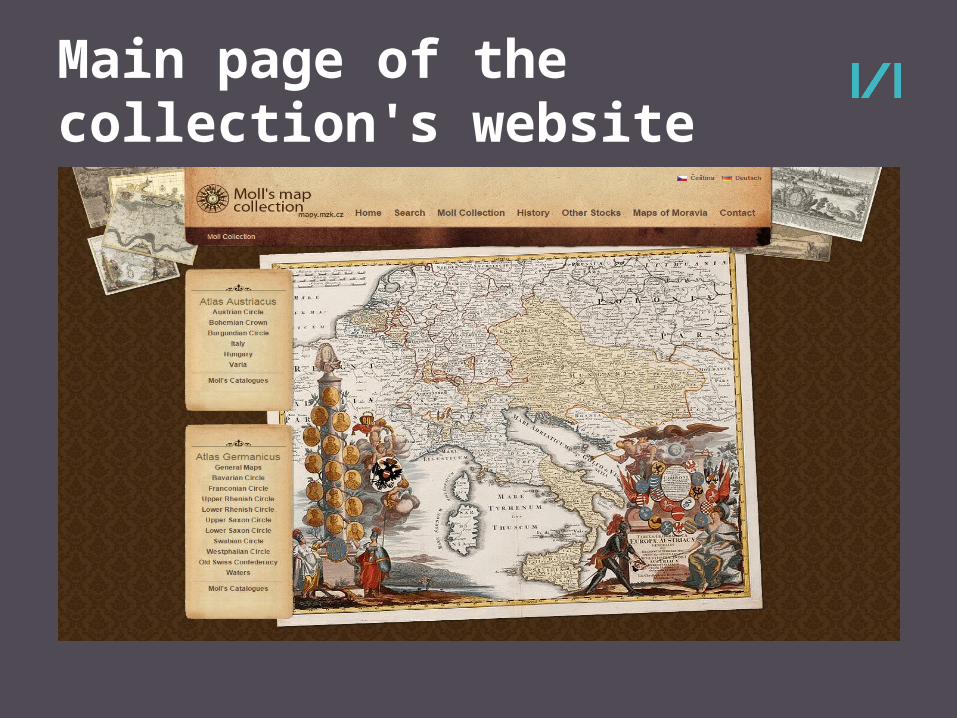
Main page of the collection's website
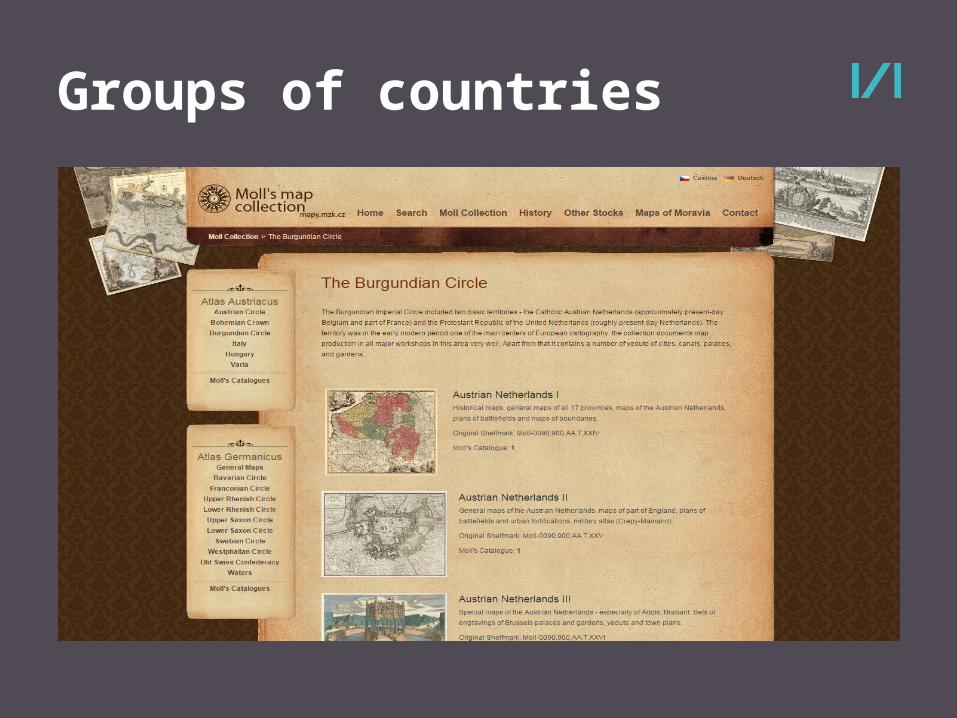
Groups of countries
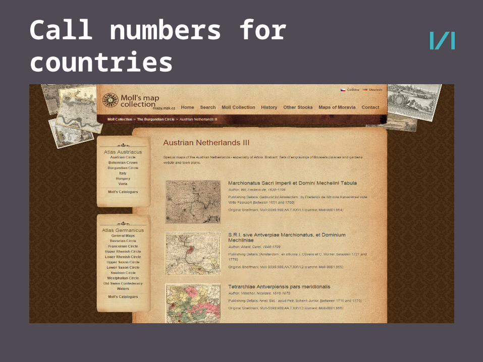
Call numbers for countries
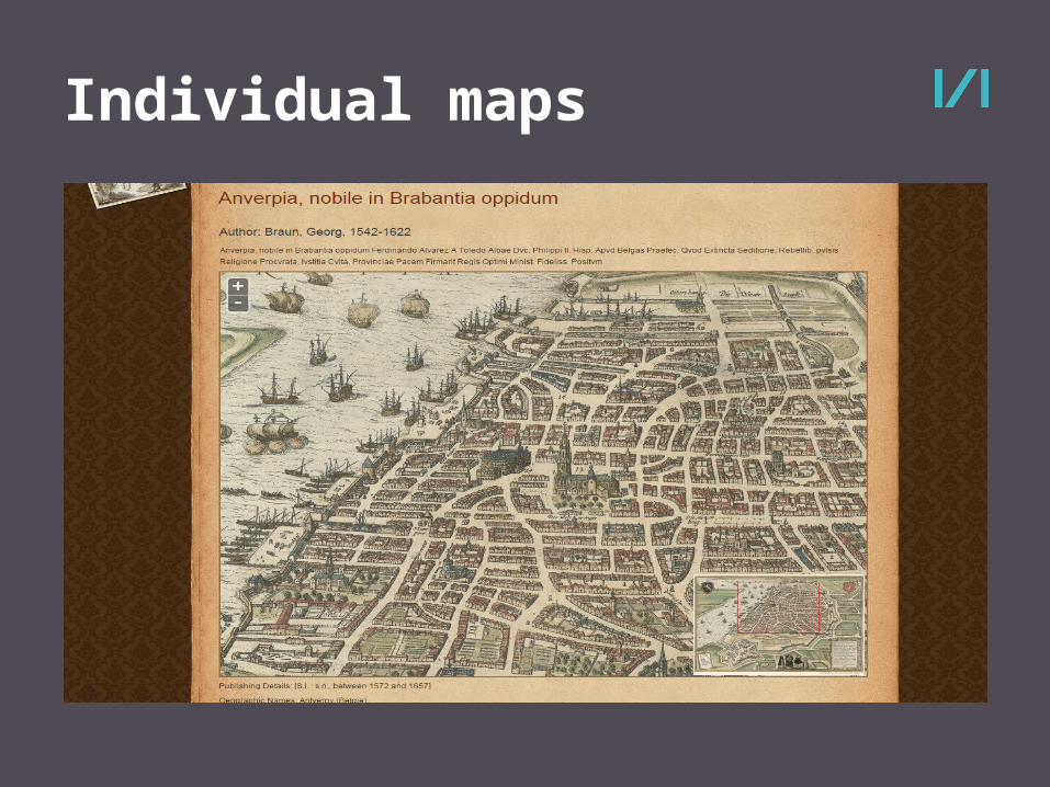
Individual maps
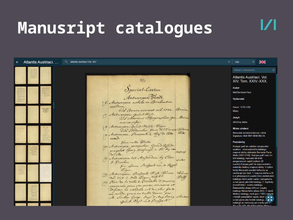
Manusript catalogues
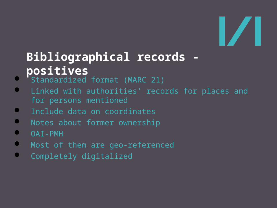
Bibliographical records - positives
Standardized format (MARC 21) Linked with authorities' records for places and for persons
mentioned Include data on coordinates Notes about former ownership OAI-PMH Most of them are geo-referenced Completely digitalized
Bibliographical records - negatives
Standardised format and cataloguing rules – but incorrectly applied Digitalized – but not all pictures were preserved in original format Content of the maps was not catalogued Definitions of the bounding boxes was not approved Dating of the maps was not approved Not sufficiently connected with the original catalogues
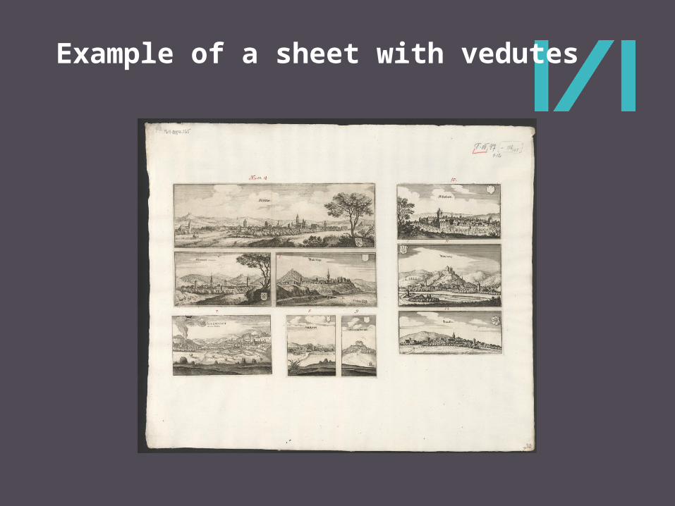
Example of a sheet with vedutes
Availability
Mapy.mzk.cz website Licence CC BY-SA (under review) Full-resolution images remain for scientific use free of charge Geographical search

Moravská zemská knihovna v Brněwww.mzk.cz
Jiří Dufka
Thank you for your attention