Embed Size (px)
Citation preview

Review ofReview ofCartographic Data Types and Cartographic Data Types and
Data ModelsData Models
GIS Data ModelsGIS Data Models
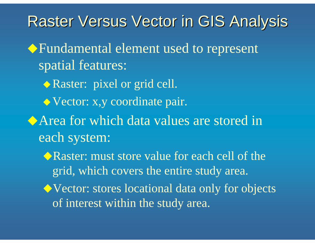
Raster Versus Vector in GIS AnalysisRaster Versus Vector in GIS Analysis
Fundamental element used to represent spatial features:
Raster: pixel or grid cell.Vector: x,y coordinate pair.
Area for which data values are stored in each system:
Raster: must store value for each cell of the grid, which covers the entire study area.Vector: stores locational data only for objects of interest within the study area.

Modeling Geospatial RealityModeling Geospatial Reality
Real World
Vector Model
Raster Model

Coding Vector GISCoding Vector GIS
RealityReality Vector Mode Model of RealityVector Mode Model of Reality

Coding Vector GISCoding Vector GIS
PolygonI
PolygonII
PolygonIII
PolygonV
PolygonIV
node
A
node
Bnode
C
node
E node
F
node
G
node
D
RealityReality Vector Mode Model of RealityVector Mode Model of Reality

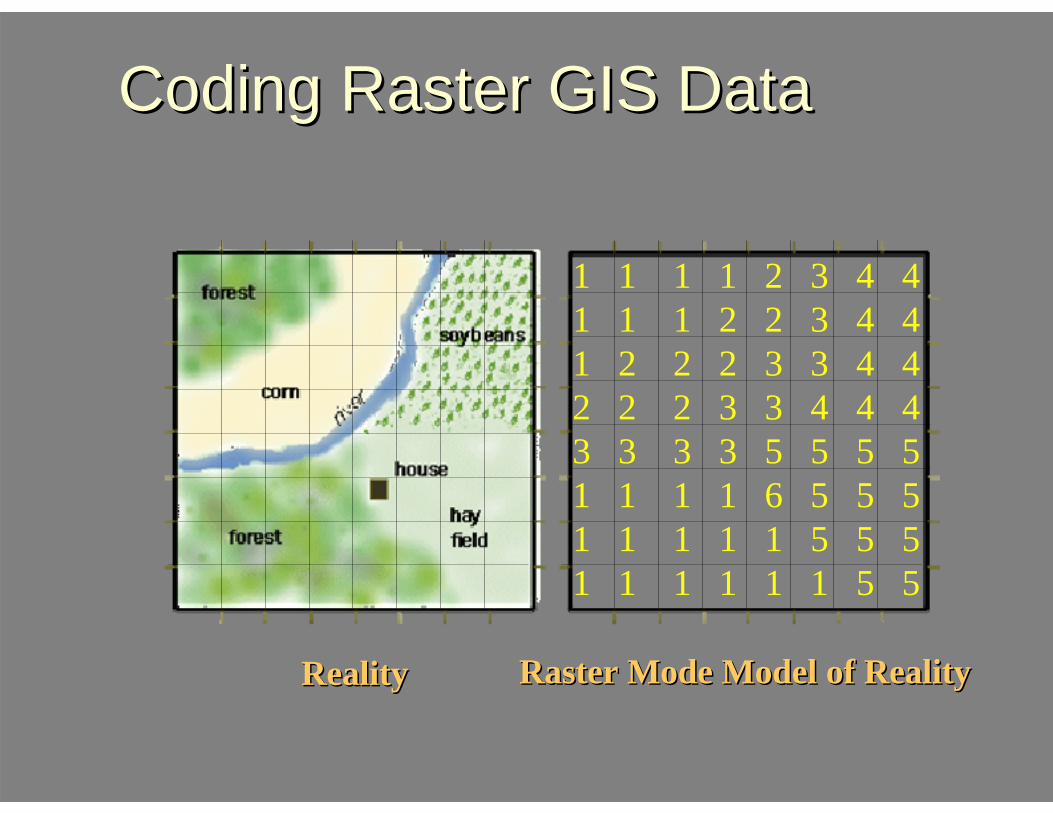
Coding Raster GIS DataCoding Raster GIS Data
RealityReality Raster Mode Model of RealityRaster Mode Model of Reality
Coding Raster GIS DataCoding Raster GIS Data
1 1 1 1 2 3 4 41 1 1 2 2 3 4 41 2 2 2 3 3 4 42 2 2 3 3 4 4 43 3 3 3 5 5 5 51 1 1 1 6 5 5 51 1 1 1 1 5 5 51 1 1 1 1 1 5 5
RealityReality Raster Mode Model of RealityRaster Mode Model of Reality

Representing Representing ValueValue and and LocationLocation in in Space: Space: PointsPoints
Raster points: location: cell position as specified by row and
column position within grid, which should be geo-referenced.value: specified by the number stored for the
cell.Vector points:
location: position specified by single x, y coordinate pair. value: stored as data values in attribute file and
tied to the point by means of a geo-code.

000 0 0 000
0 00000 1 0000 0000 0
00 0 1 00 00
0 0 01 0 0 0 000000 0 10
Points Points Encoded as Encoded as
RasterRaster
Points in the World Out There Raster Encoding
Resulting Image

Points Points Encoded as Encoded as
VectorVector
Points in the World Out There Vector Encoding
Resulting Image
1
4
3
2Point X Y
1 X1 Y1
3 X3 Y3
2 X2 Y2
4 X4 Y4
X
Y

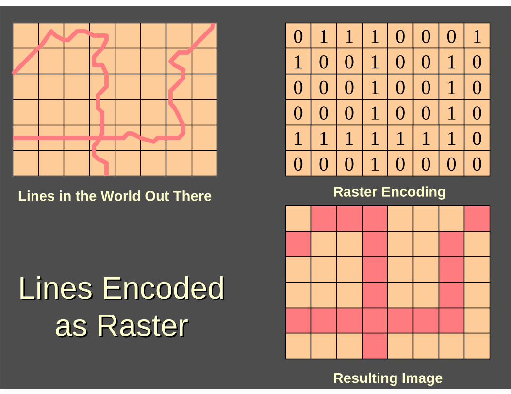
Representing Representing ValueValue and and LocationLocation in in Space: Space: LinesLines
Raster lines:location: linear set of contiguous cells, each identified by a row and column location and each having the same data value.value: data value of each linear feature is represented by the cell value stored for each cell.
Vector lines: location: ordered set of x,y coordinate pairs.value: a geo-code assigned to the line is tied to a geo-code in an attribute file where the computer stores the data value or values for the line.
0
1
No Road
Road000 0 0 001
0 00000 1 1000 0001 1
01 1 1 11 11
0 0 01 1 1 0 100000 1 11
Lines Encoded Lines Encoded as Raster as Raster
Lines in the World Out There Raster Encoding
Resulting Image

Lines Encoded Lines Encoded as Vector as Vector
Lines in the World Out There
Vector Encoding
Resulting Image
X
Y Line X Y1 X11 Y11
X12 Y12. . . . . . X1n Y1n
2 X21 Y21 X2n Y2n
1
2
3
Vertex
Node
3 X31 Y31X32 Y32. . . . . .X3n Y3n
4
4 X41 Y41X4n Y4n

Vector Line Theme Raster Line Theme
Vector &Raster Themes

Representing Representing Values and LocationValues and Location in in Space: Space: AreasAreas
Raster areas:location: region of contiguous cells all of which have the same data value.value: data value stored for each cell is the data value for the area [e.g., for population density, a density of 589 would be represented by assigning each cell comprising the area the value 589].
Vector areas:location: closed set of x,y coordinate pairs.value: point within area is “tied” by means of a geo-code to an attribute file value or values to be assigned to the area defined by the x,y coordinates.

333 3 3 333
1 32211 2 3111 3221 3
33 3 3 33 33
1 2 21 1 2 3 332211 2 31
Areas Areas Encoded as Encoded as
Raster Raster
Areas in the World Out There Raster Encoding
Resulting Raster Image
Industry Residential
Agriculture
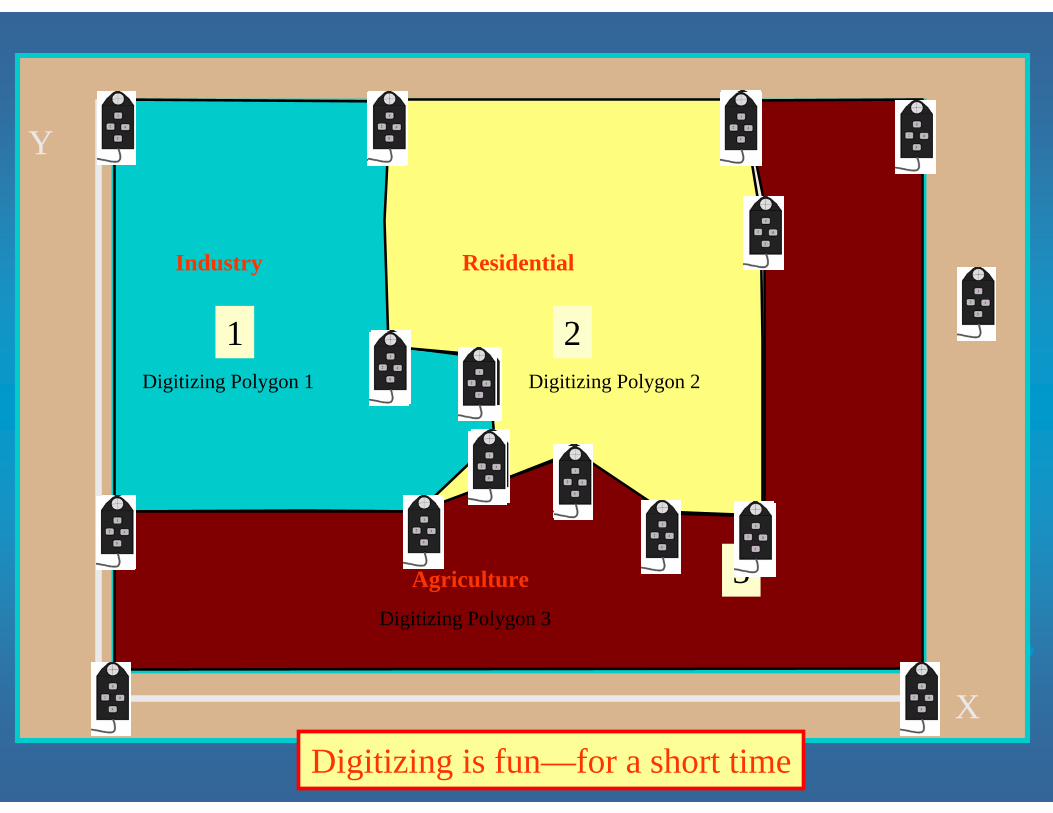
Capturing Vector DataCapturing Vector Data
34005
Digitizing is fun—for a short time
Industry
1
Residential
2
Agriculture 3
X
Y
Digitizing Polygon 1
Digitizing Polygon 3
Digitizing Polygon 2

Areas Areas Encoded as Encoded as
Vector Vector
Areas in the World Out There
Vector Encoding
X
Y
Resulting Vector Image
Industry Residential
Agriculture
Area X Y1 X11 Y11
X1i Y1iX11 Y11
2 X21 Y21.X2i Y2iX21 Y21
Industry
1Residential
2
Agriculture 33 X31 Y31
X3i Y3iX31 Y31

Vector Area Theme
Raster Area Theme

Representing Representing Values and LocationValues and Location in in Space: Space: VolumeVolume
Raster volume:location: row and column position represents position on the surface.value: cell data value represents the height of the surface at the location of the cell.
Vector volume:location: x,y coordinates position triangles that comprise a TIN.value: z data value stored for each x,y coordinate position.

Vector Surface Theme
Raster Surface Theme
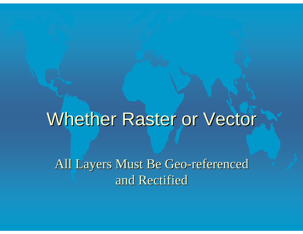
Whether Raster or VectorWhether Raster or Vector
All Layers Must Be GeoAll Layers Must Be Geo--referenced referenced and Rectifiedand Rectified

Earth
Latitude Longitude
Assign Coordinate Values to Locations
Elevation
Block Groups
Streams
Wells

Raster ConventionsRaster Conventions
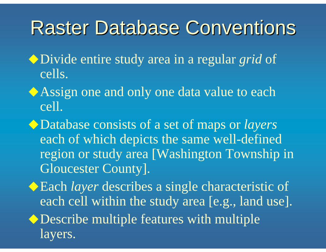
Raster Database ConventionsRaster Database ConventionsDivide entire study area in a regular grid of cells.Assign one and only one data value to each cell.Database consists of a set of maps or layerseach of which depicts the same well-defined region or study area [Washington Township in Gloucester County].Each layer describes a single characteristic of each cell within the study area [e.g., land use].Describe multiple features with multiple layers.

Raster DefinitionsRaster Definitions
Orientation: angle between true north and the direction defined by the columns of the raster.
N000 0 0 001
0 00000 1 2000 0001 2
02 2 2 21 22
0 0 01 1 1 0 200000 1 21

Raster DefinitionsRaster Definitions
Region: within a single layer, a set of contiguous cells that all have the same value.
Zone: all of the regions within a layer that have the same value1.
1 In much of the GIS literature Arc Map’s region is called a zone and Arc Map’s zone is called a class.
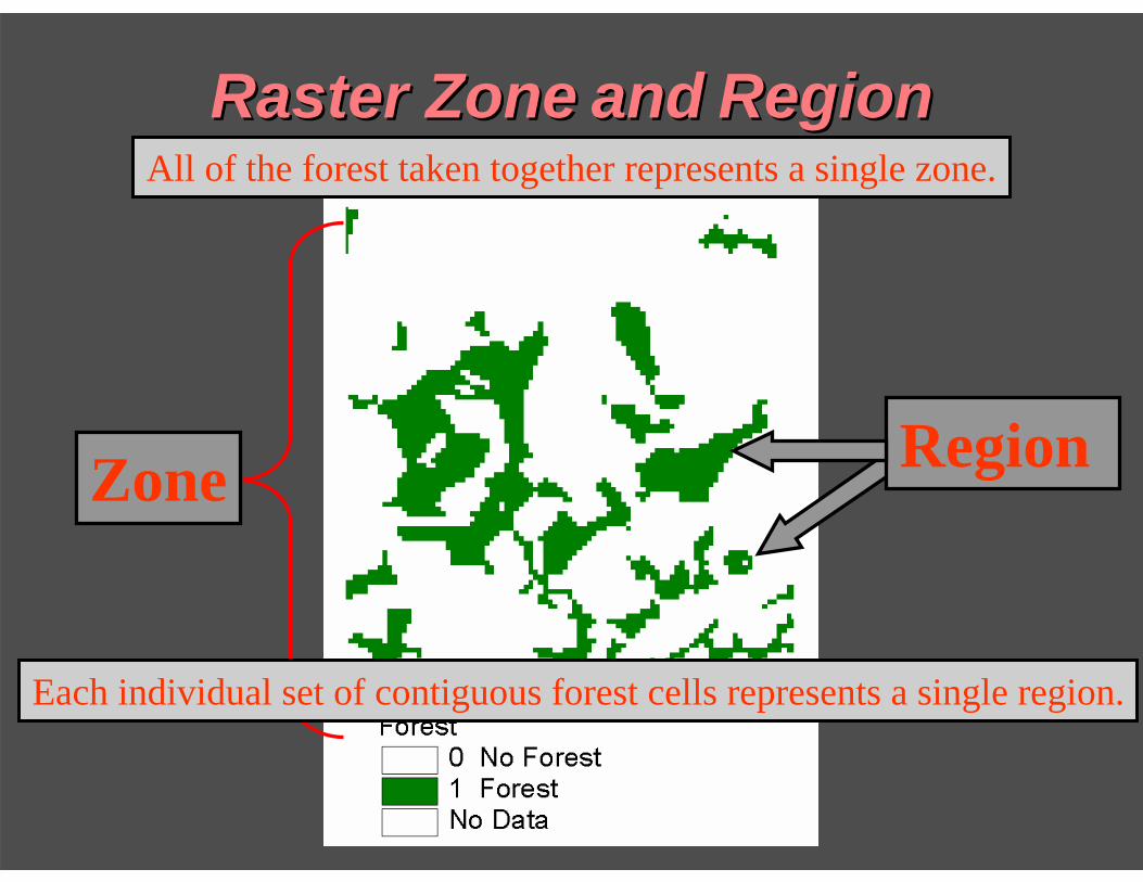
Raster ZoneRaster Zone andand RegionRegion
Region Zone
All of the forest taken together represents a single zone.
Each individual set of contiguous forest cells represents a single region.
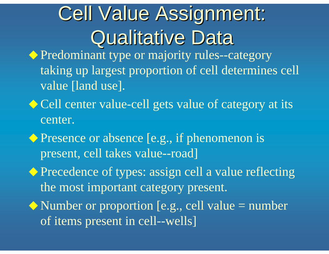
Cell Value Assignment: Cell Value Assignment: Qualitative DataQualitative Data
Predominant type or majority rules--category taking up largest proportion of cell determines cell value [land use].Cell center value-cell gets value of category at its center.Presence or absence [e.g., if phenomenon is present, cell takes value--road]Precedence of types: assign cell a value reflecting the most important category present.Number or proportion [e.g., cell value = number of items present in cell--wells]

Majority Rules AssignmentMajority Rules Assignment
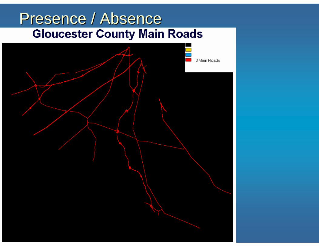
Presence / AbsencePresence / Absence
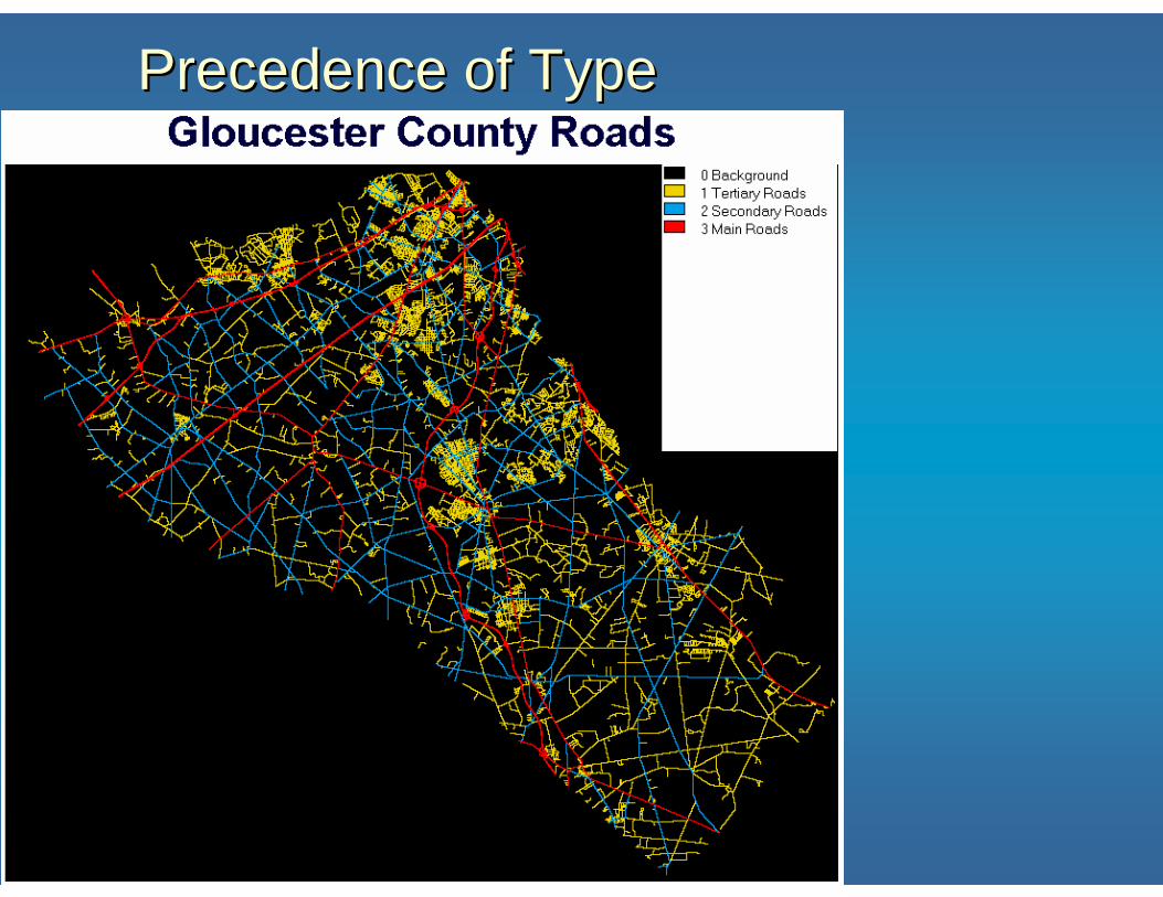
Precedence of TypePrecedence of Type
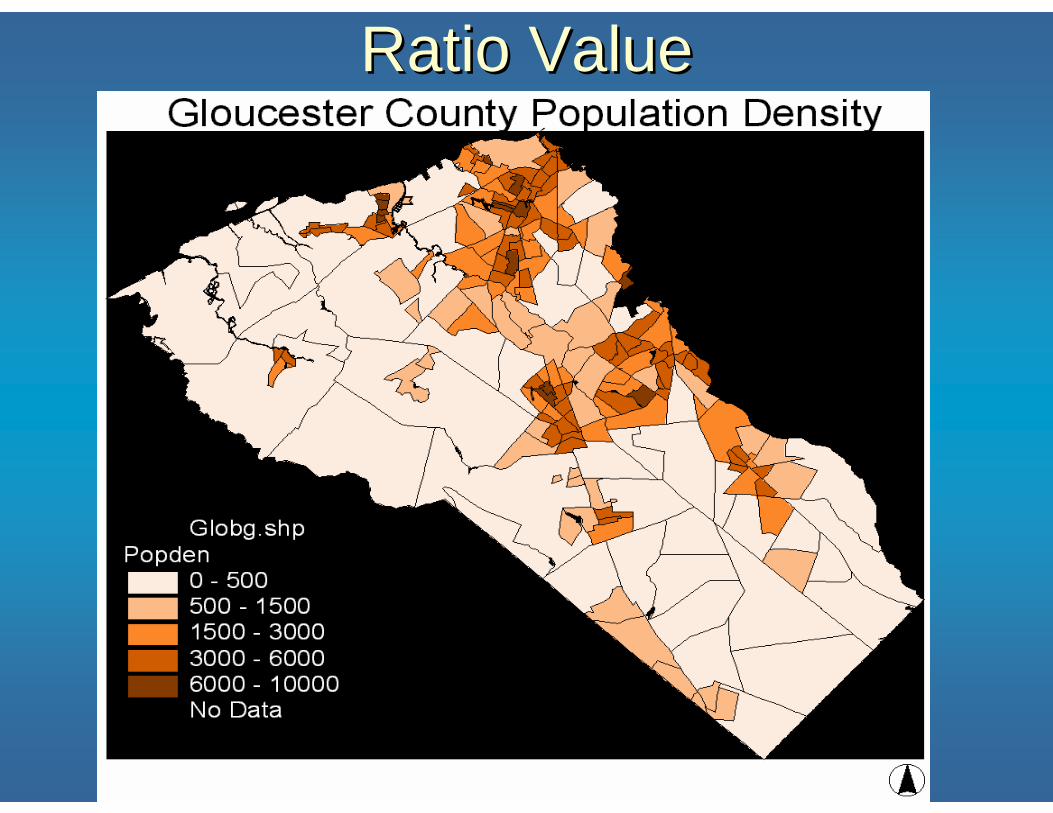
Ratio ValueRatio Value
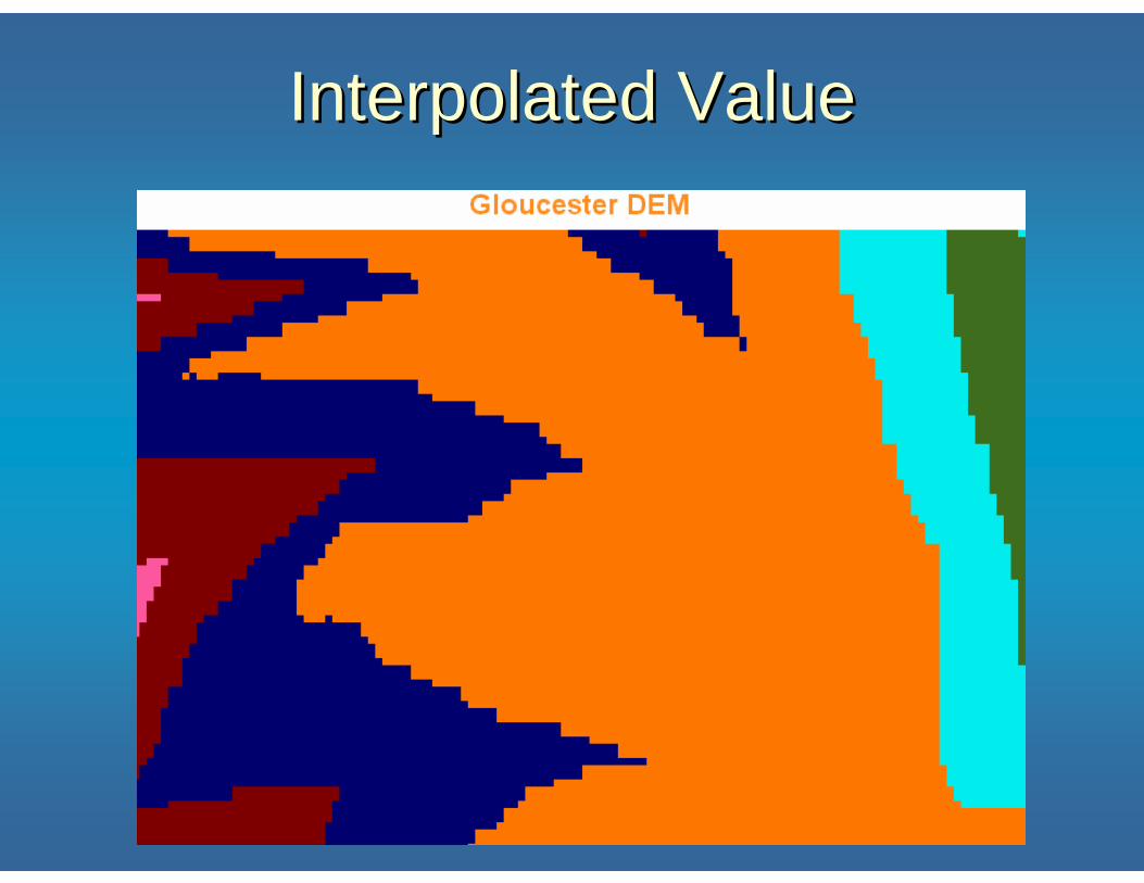
Interpolated ValueInterpolated Value