Embed Size (px)
Citation preview
1
Lab 09-2 ONLINE
LESSON
2
If viewing this lesson in Powerpoint
Use down or up arrows to navigate
3
Do take notes as we peruse through this
lesson…
4
Azimuth and Distance
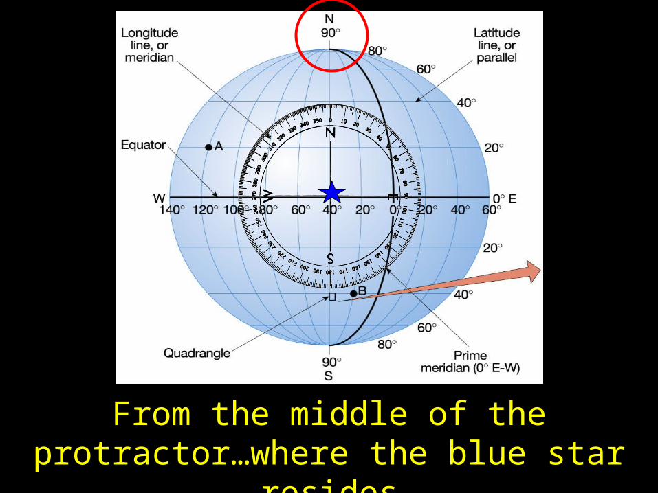
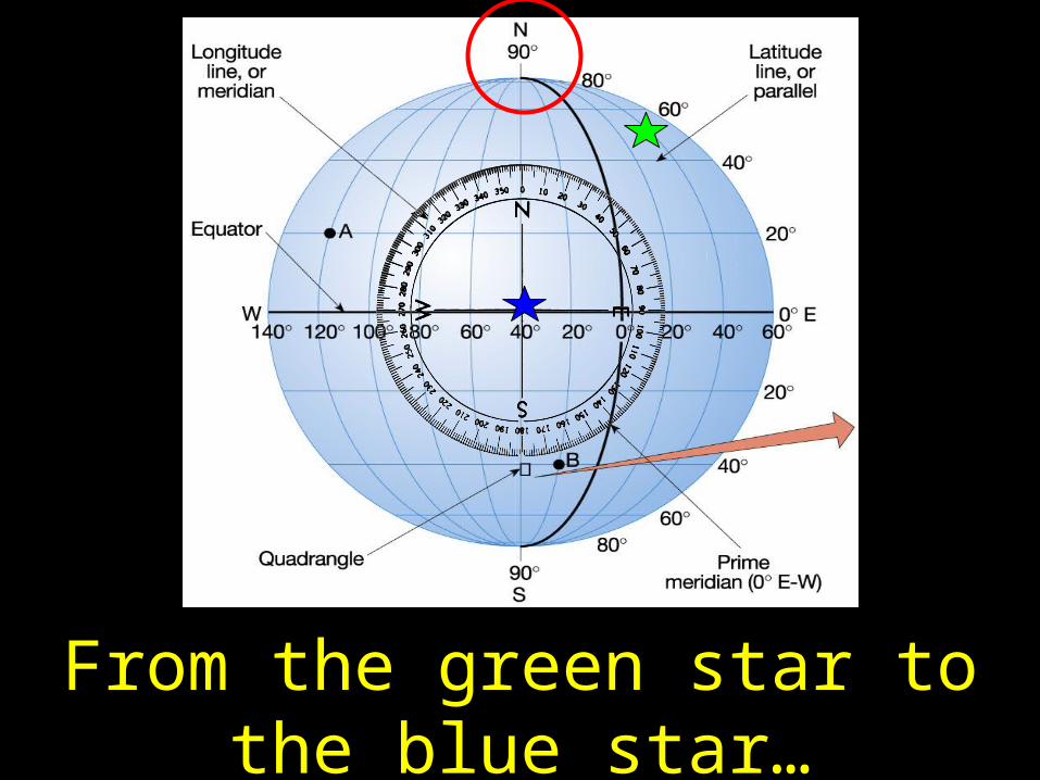
5
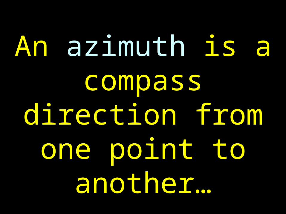
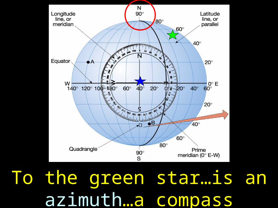
An azimuth is a compass direction from one point to
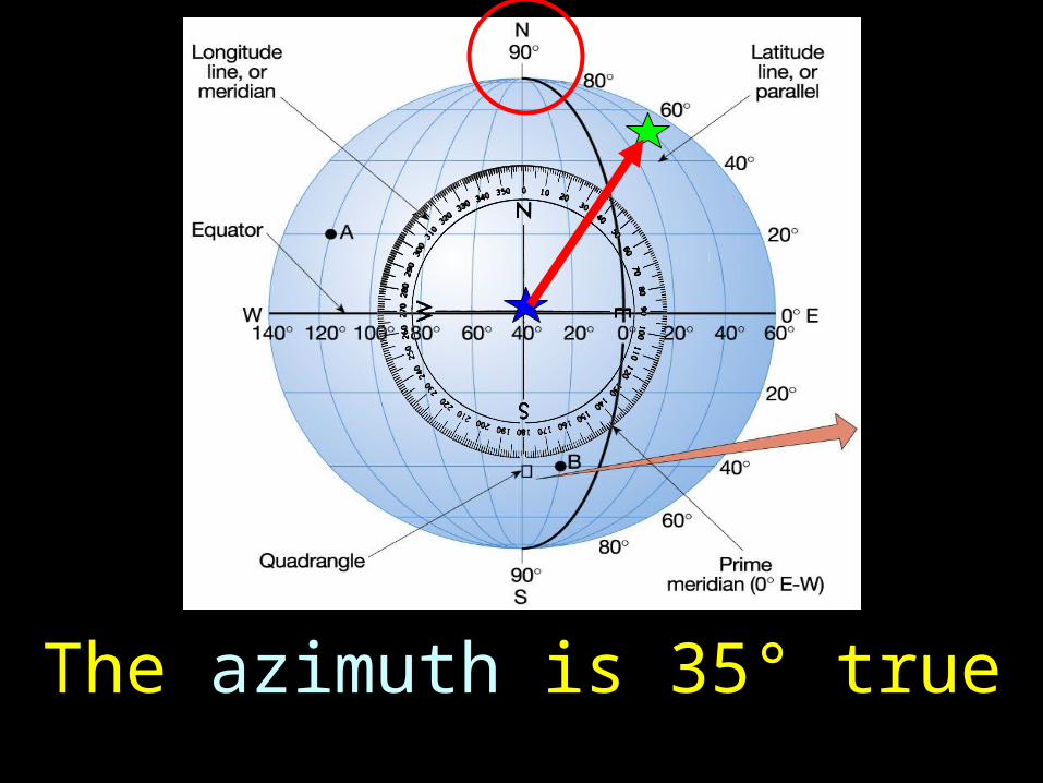
another…
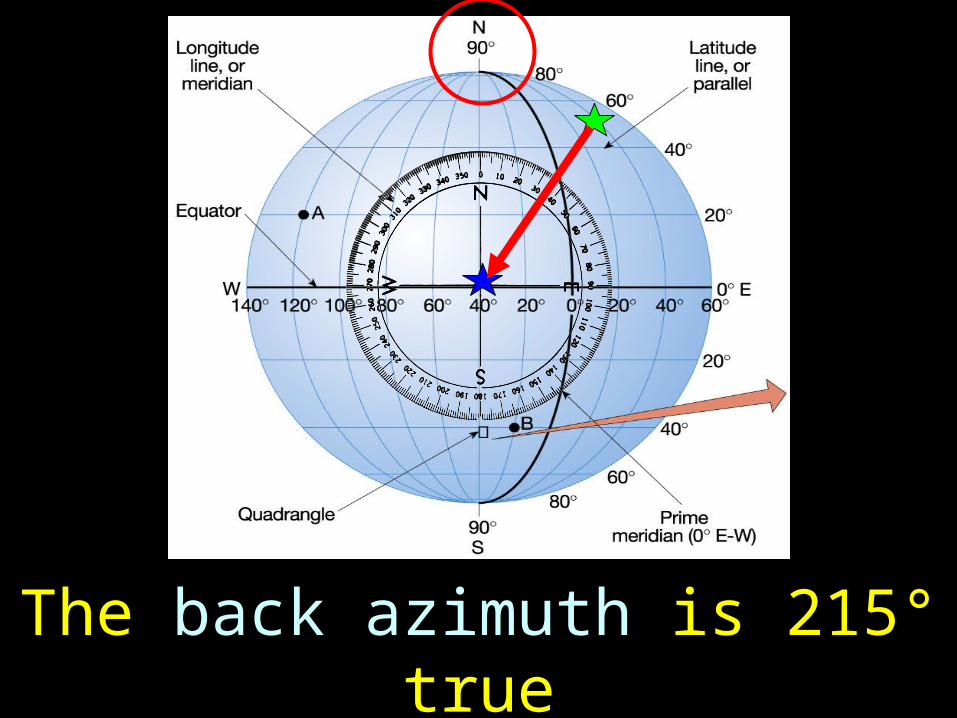
6
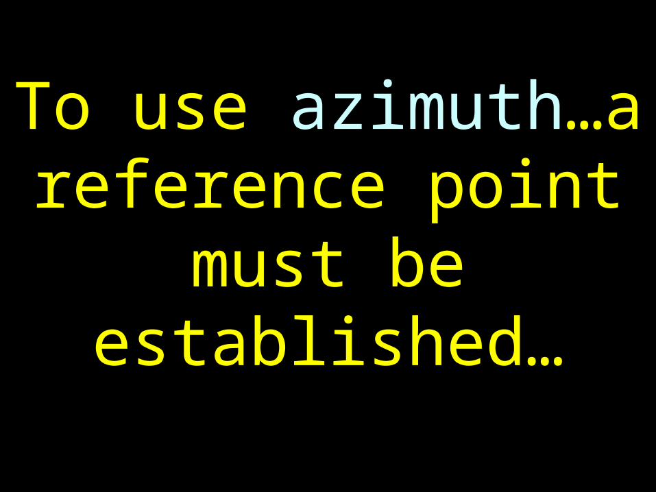
To use azimuth…a reference point must
be established…
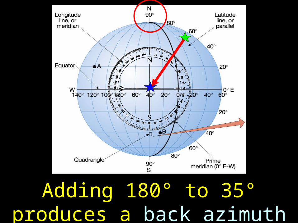
7
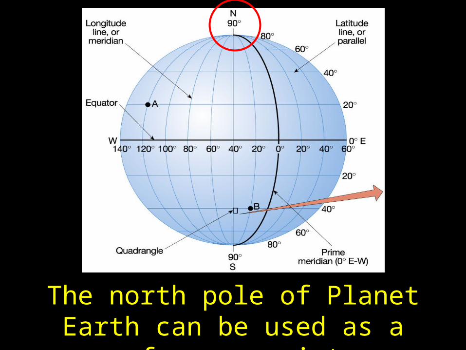
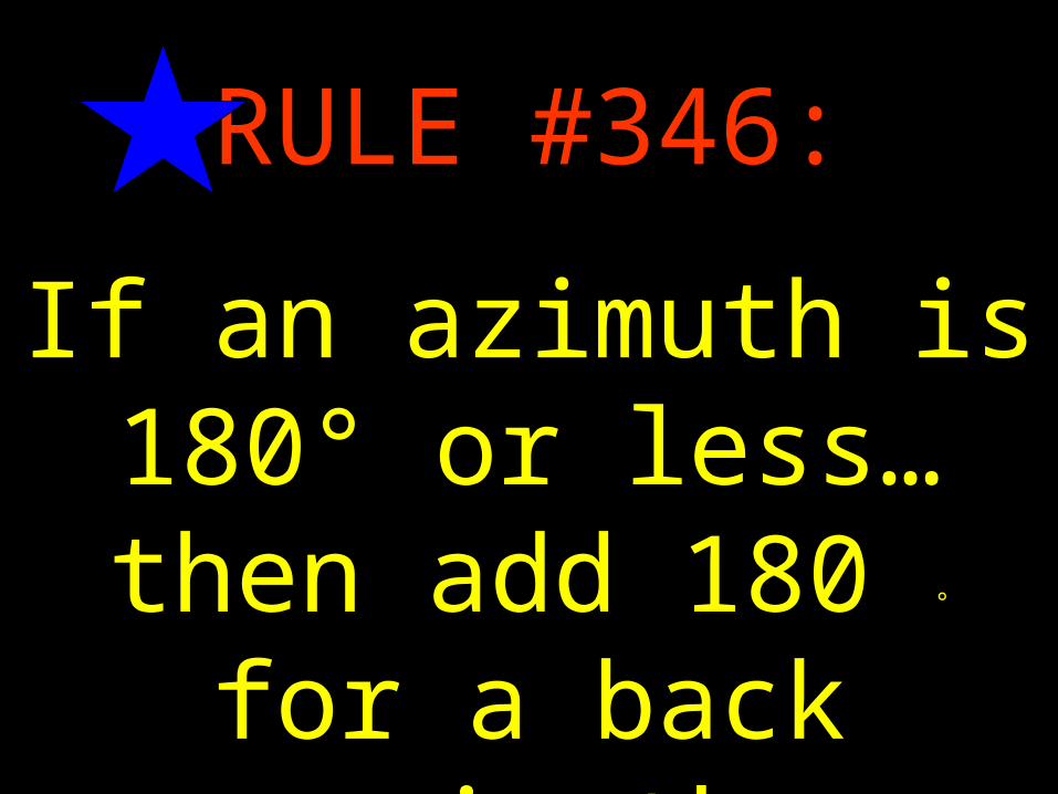
The north pole of Planet Earth can be used as a reference point.
8
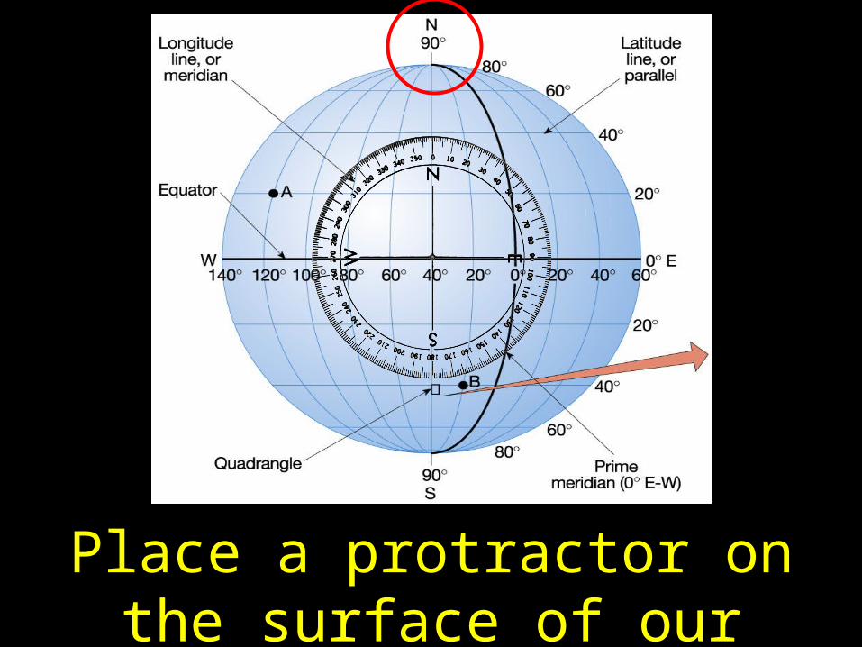
Place a protractor on the surface of our planet.
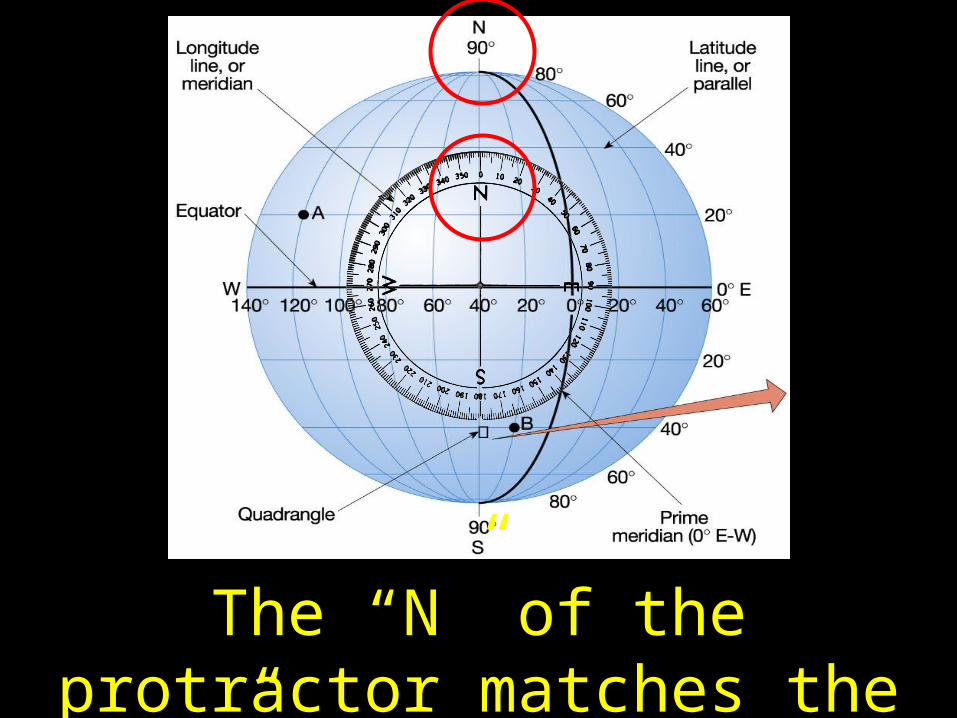
9
The “N” of the protractor matches the “N” of our planet…
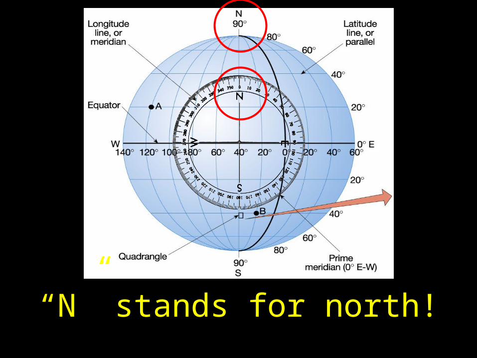
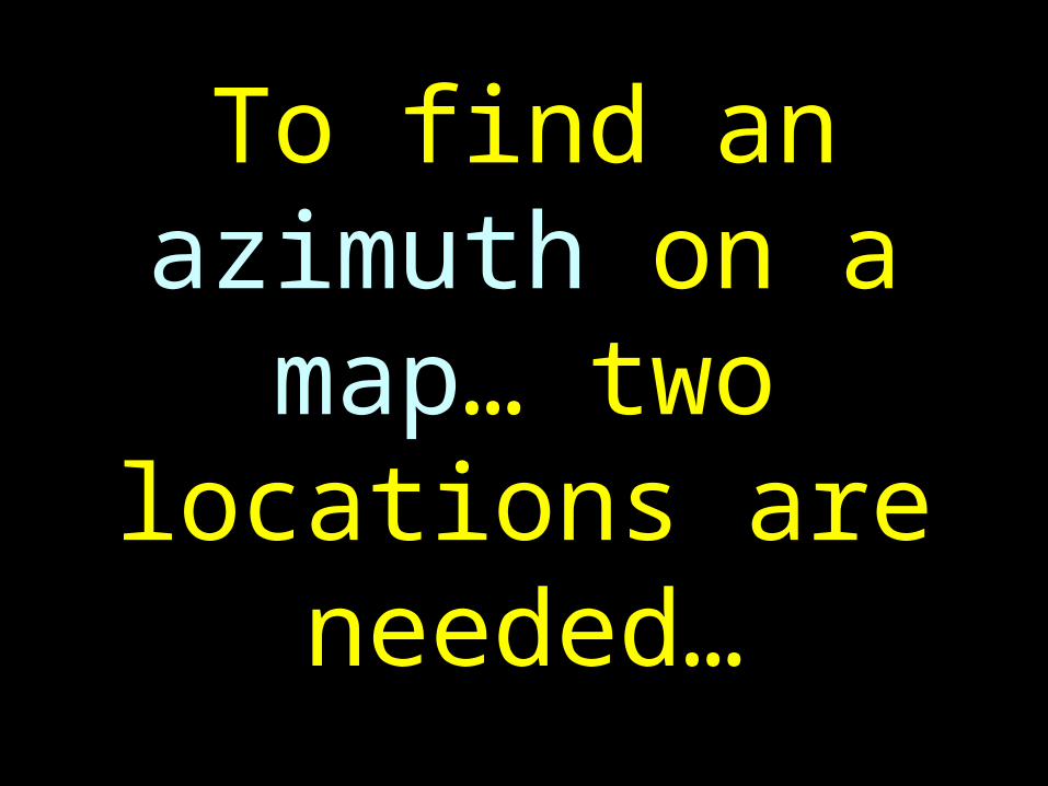
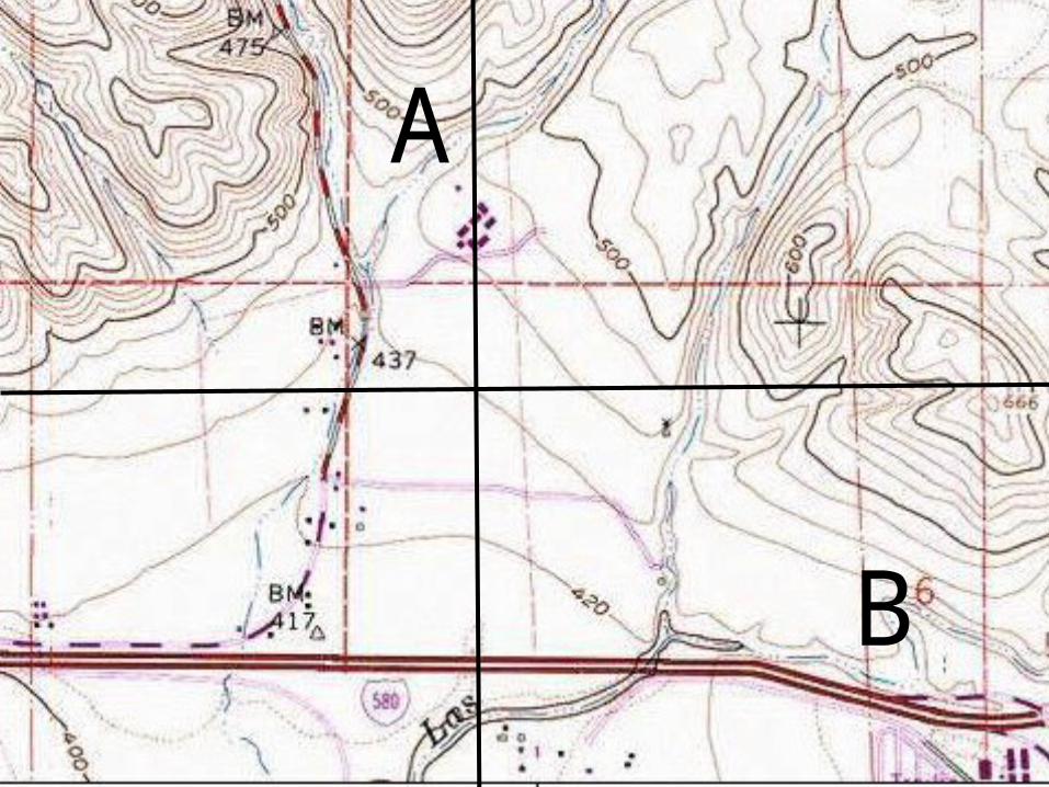
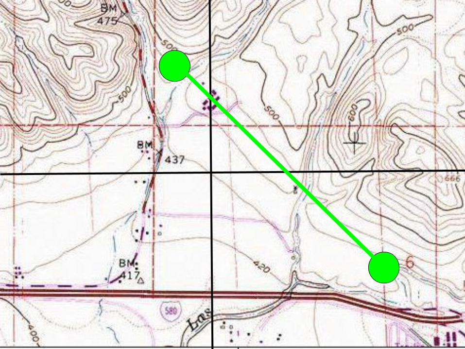
10
“N” stands for north!
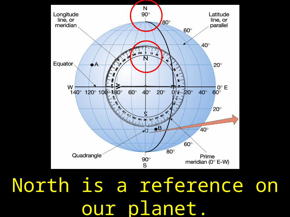
11
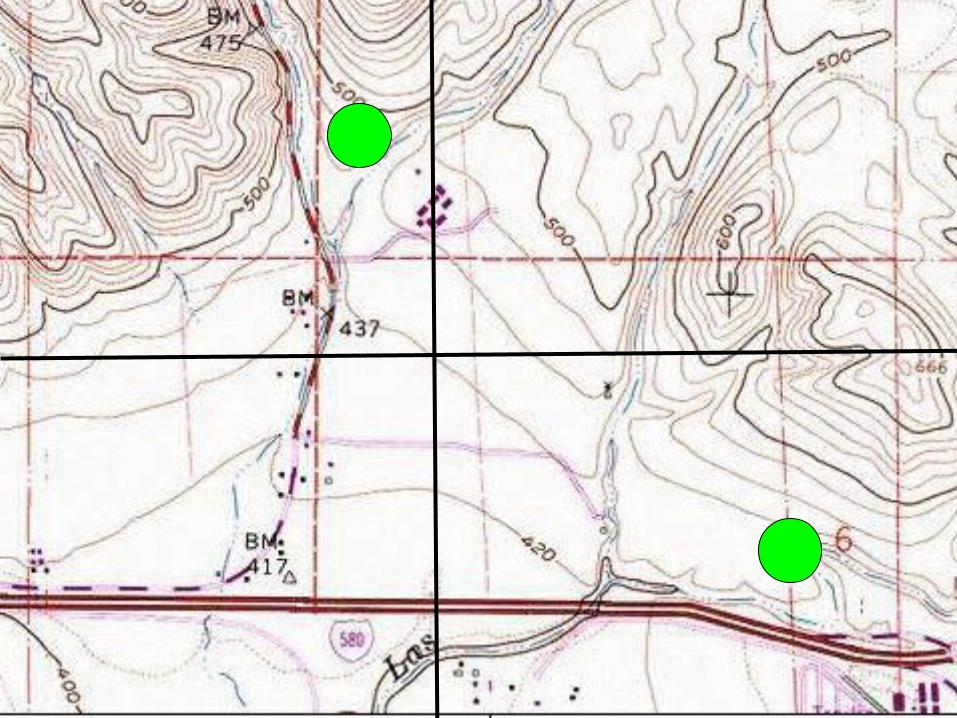
North is a reference on our planet.
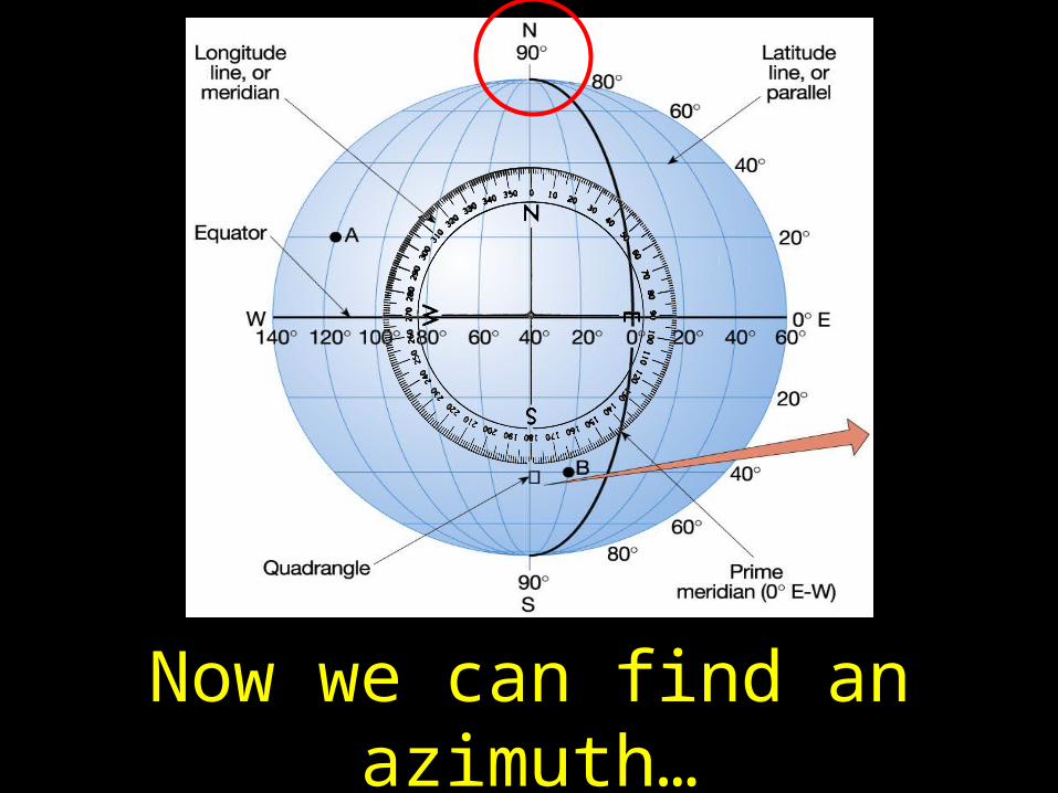
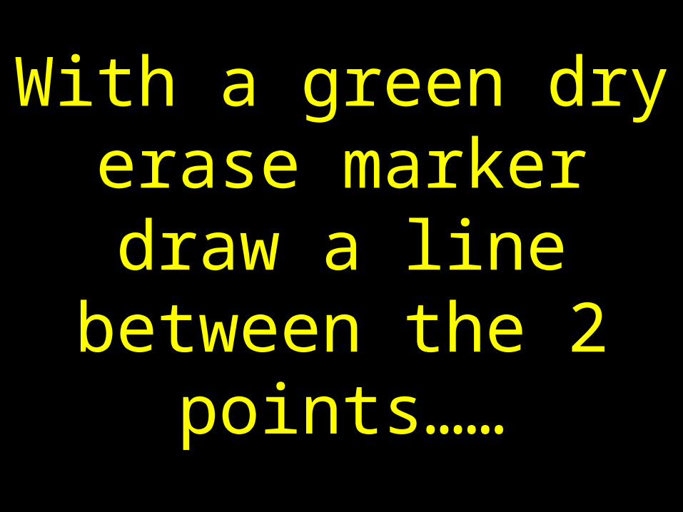
12
Now we can find an azimuth…
13
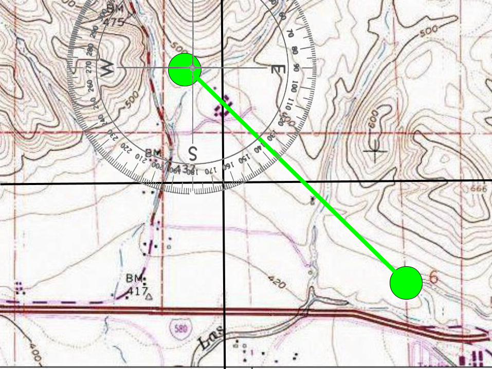
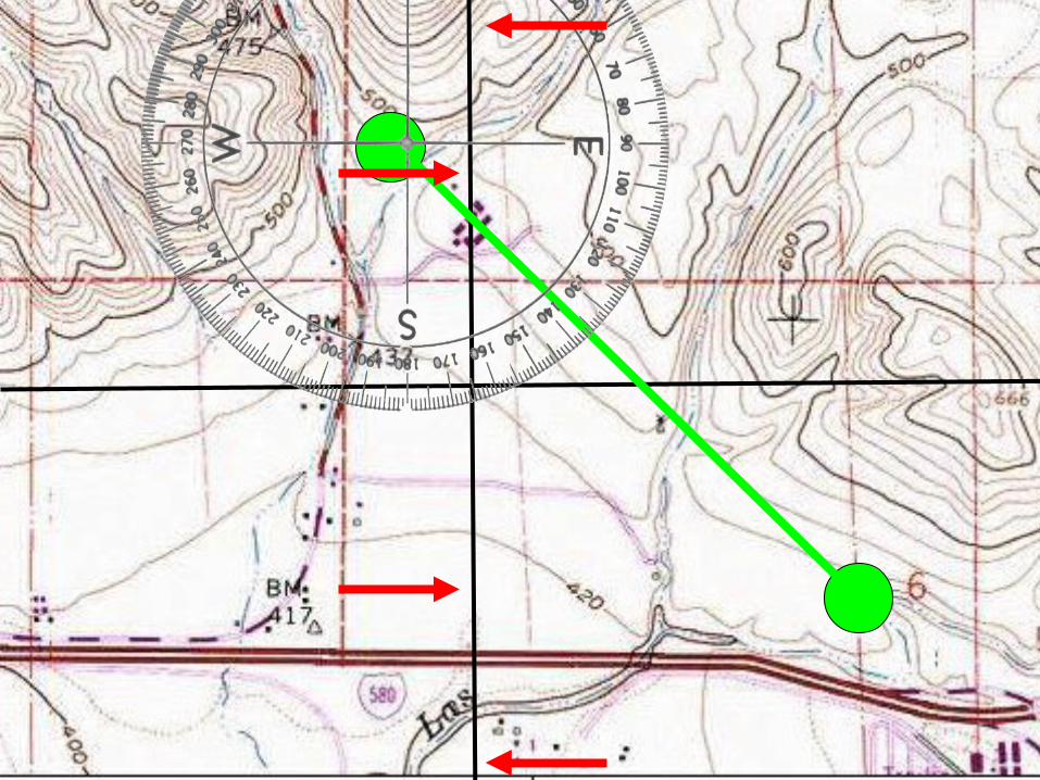
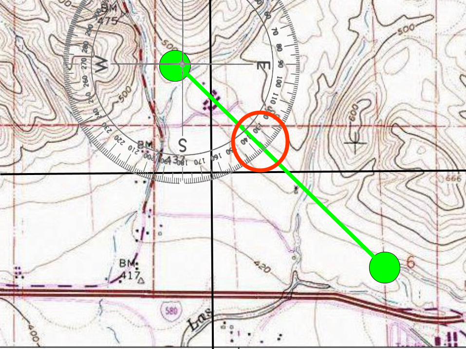
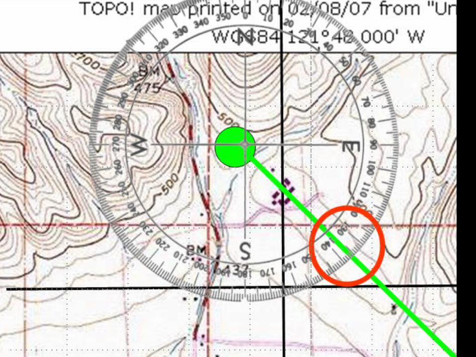
From the middle of the protractor…where the blue star resides
14
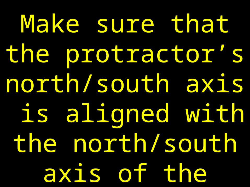
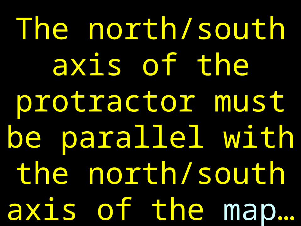
To the green star…is an azimuth…a compass direction.
15
The azimuth is 35° true
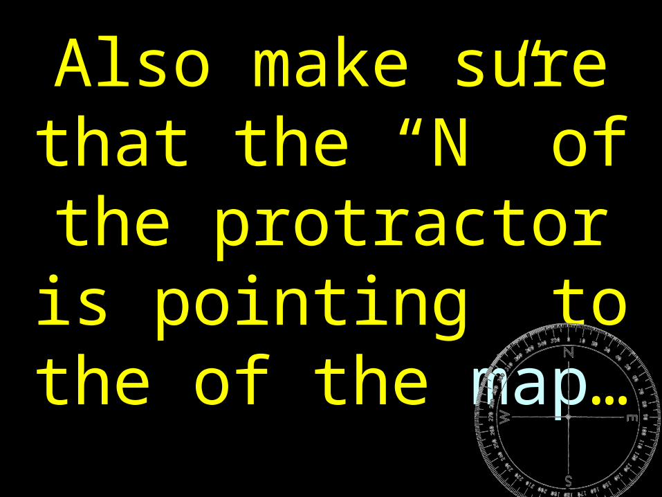
16
A back azimuth is just an azimuth in the
opposite direction…
17
From the green star to the blue star…
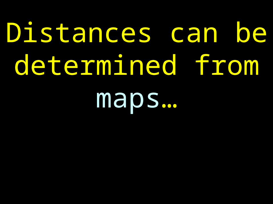
18
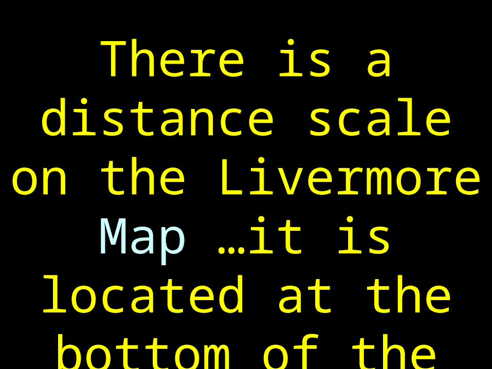
The back azimuth is 215° true
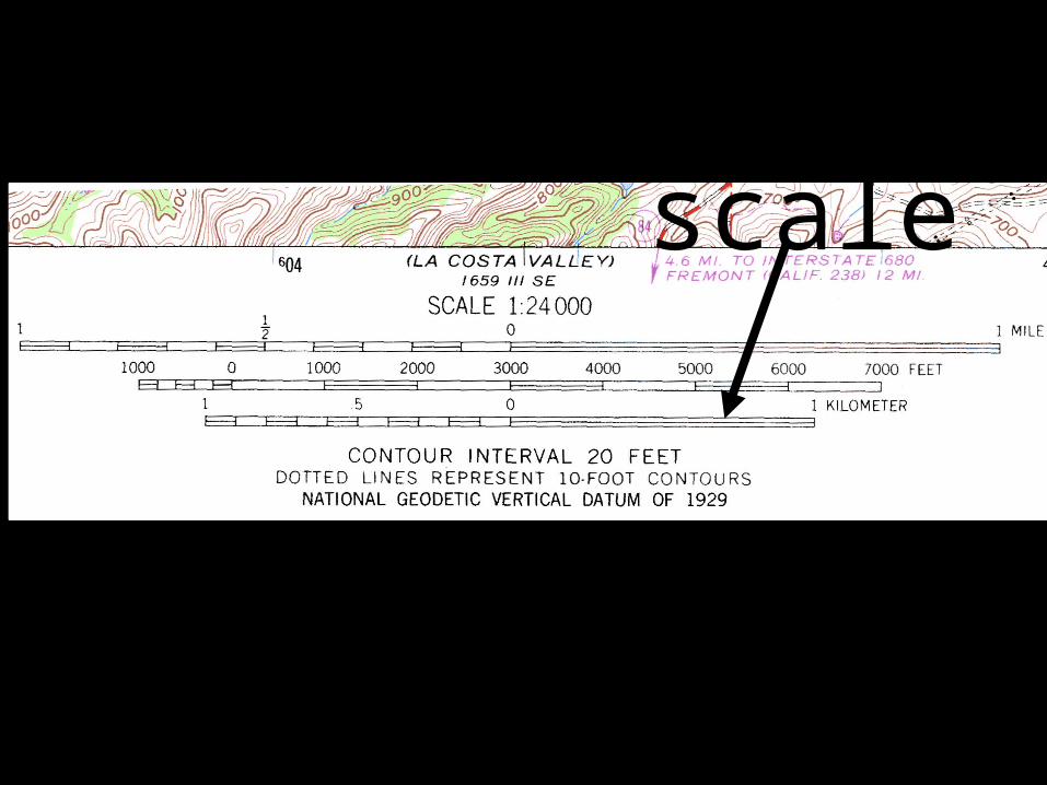
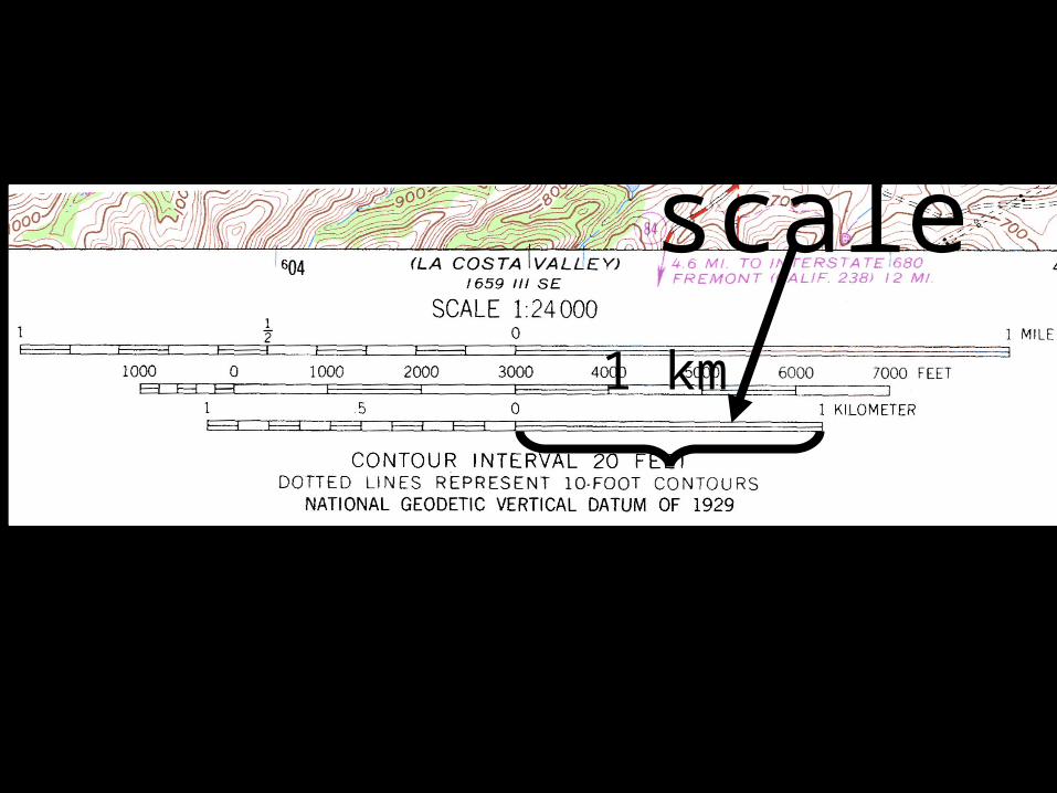
19
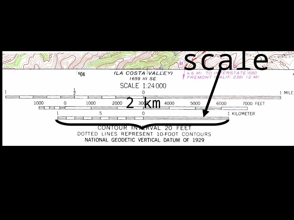
Adding 180° to 35° produces a back azimuth of 215.
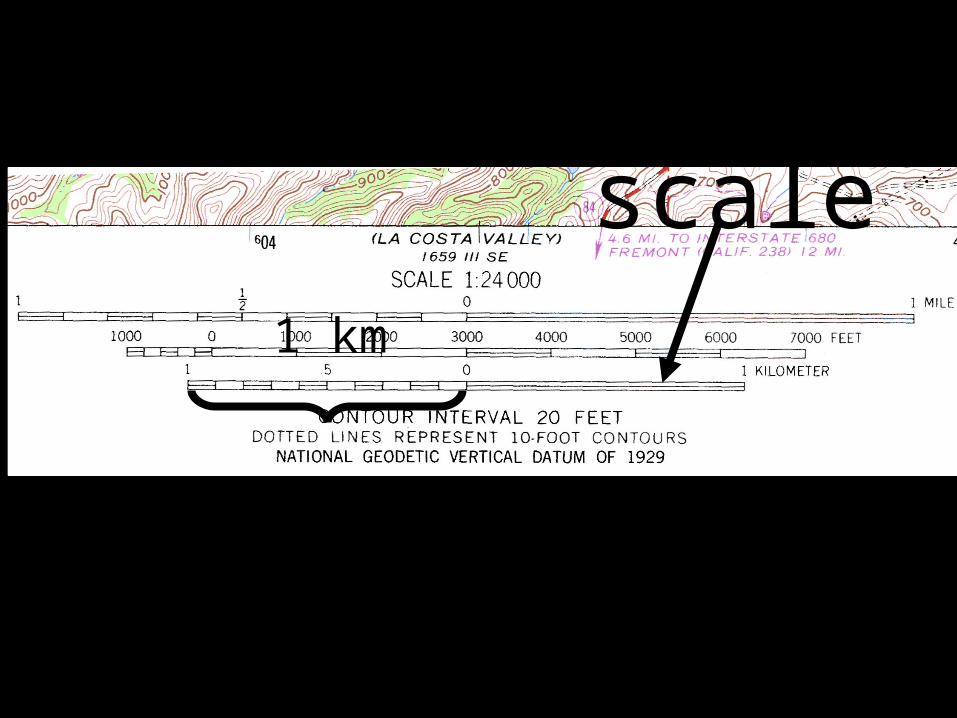
20
RULE #346:
If an azimuth is 180° or less…then add 180
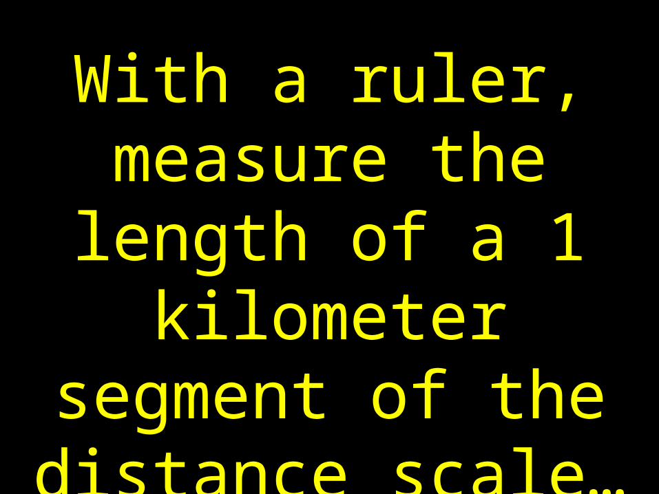
° for a back azimuth
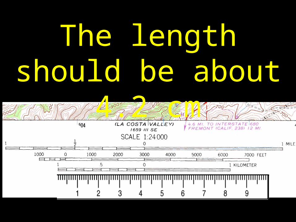
21
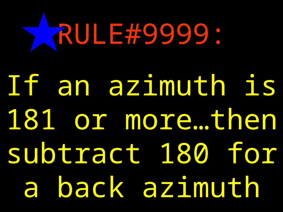
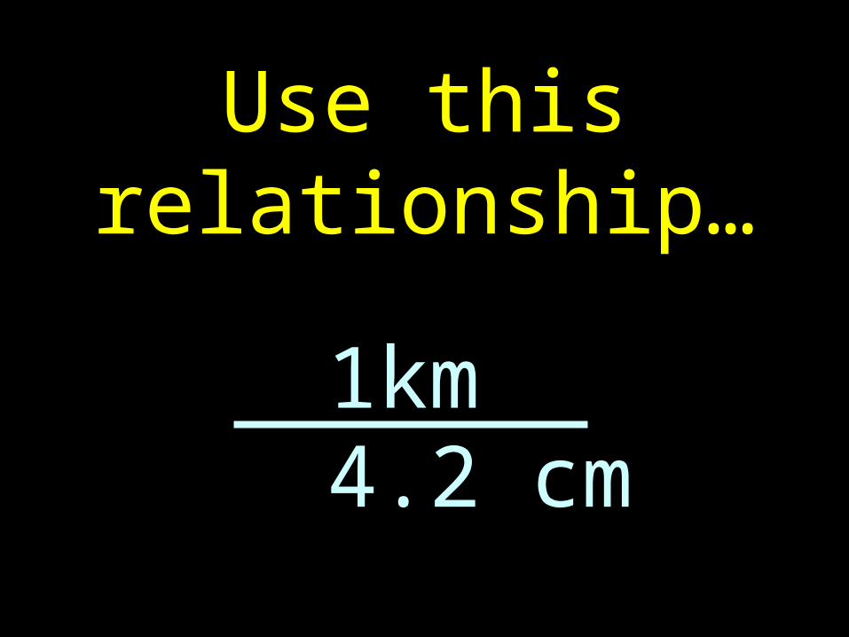
RULE#9999:
If an azimuth is 181 or more…then
subtract 180 for a back azimuth
22
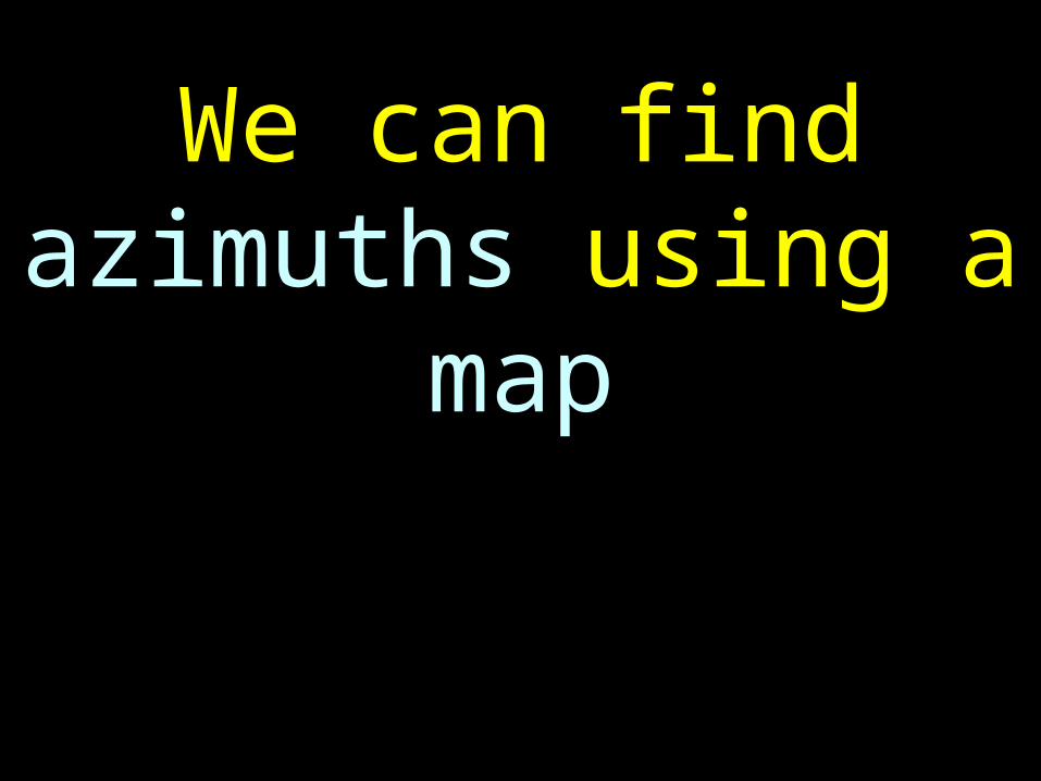
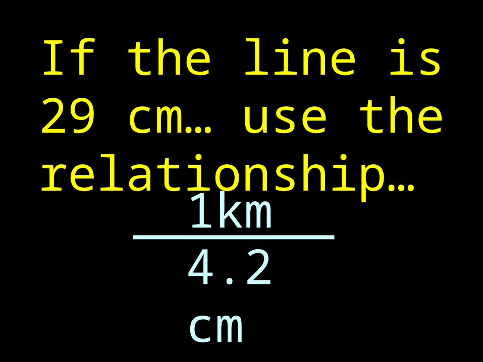
We can find azimuths using a map
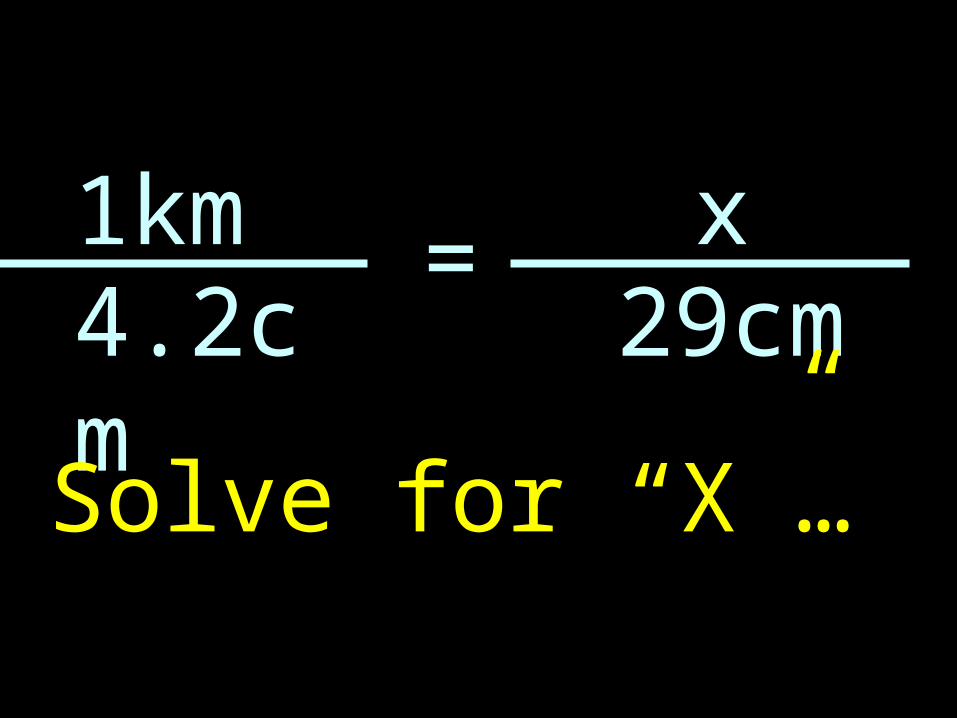
23
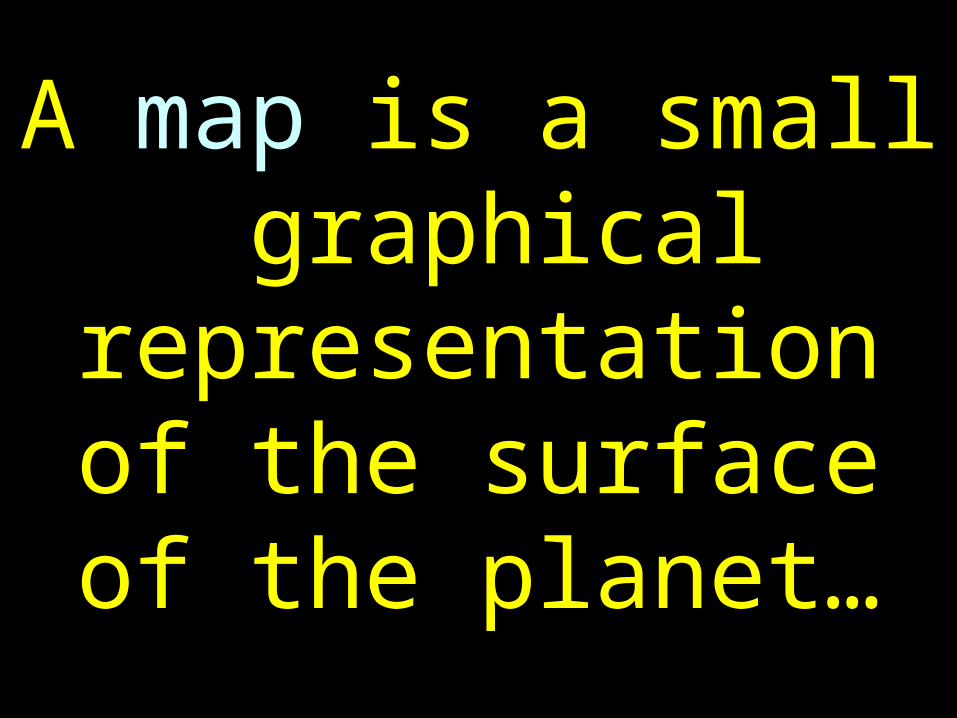
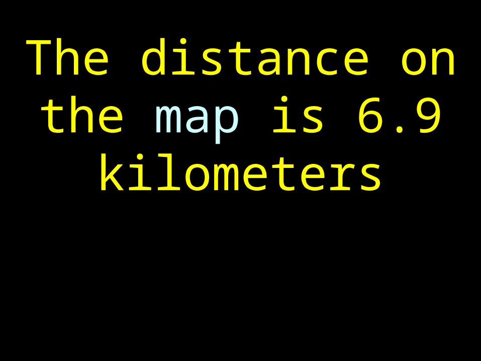
A map is a small graphical
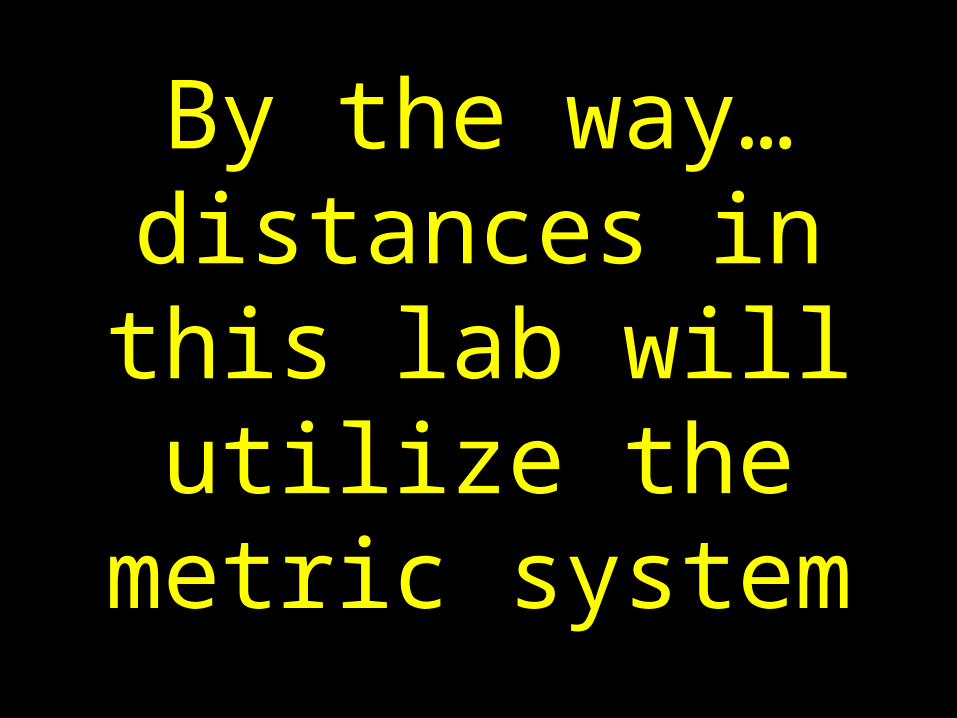
representation of the surface of the
planet…
24
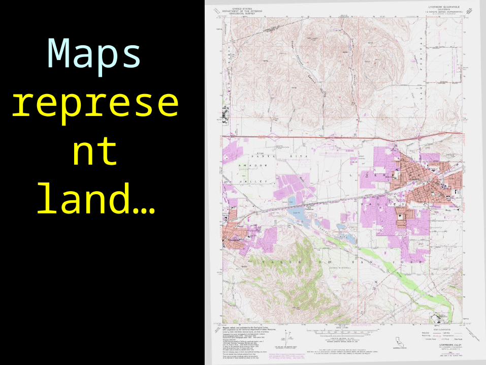
Maps represent
land…
25
To find an azimuth on a map… two locations are
needed…

26
An origination point (A) and a destination
point (B)…
27
A
B
28
Mark 2 locations on the map with a green dry erase marker…
29
30
With a green dry erase marker draw a line between the 2
points……
31
32
Place a protractor on the map…
33
34
Make sure that the protractor’s
north/south axis is aligned with the
north/south axis of the chart…
35
36
The north/south axis of the protractor must
be parallel with the north/south axis of
the map…
37
Also make sure that the “N” of the
protractor is pointing to the of the map…
38
Then read the azimuth…
39
40
41
The azimuth is 135° true…
42
Distances can be determined from
maps…
43
There is a distance scale on the
Livermore Map …it is located at the bottom
of the map.
44
scale

45
The scale represents 2 kilometers
46
1 km
scale
47
1 km
scale
48
2 km
scale
49
With a ruler, measure the length of a 1
kilometer segment of the distance scale…
50
The length should be about 4.2 cm
51
Use this relationship…
1km4.2 cm
52
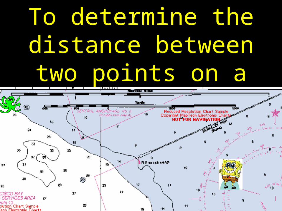
To determine the distance between two points on a
map…
53
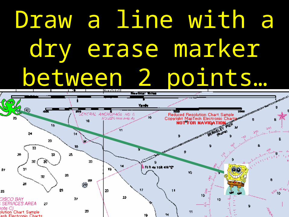
Draw a line with a dry erase marker between 2
points…
54
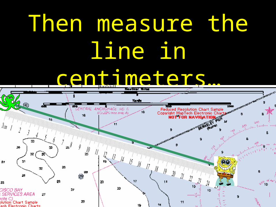
Then measure the line in centimeters…
55
If the line is 29 cm… use the relationship…
1km4.2 cm
56
1km4.2cm
x29cm
=
Solve for “X”…
57
The distance on the map is 6.9 kilometers
58
By the way…distances in this lab will utilize the metric
system
59
Ask Bob for Lab 09-2Q questions
60
END
L09-2