Embed Size (px)
DESCRIPTION
1Spatial Managing Big Spatial Data with Process Automation [email protected] Sales Manager. Great Expectations. An Evolution. Data providers are now supplying rich, intelligent data Driven by a need to:. Human Assistance. Delivering Speed. Human Assistance. - PowerPoint PPT Presentation
Citation preview

Great Expectations

Data providers are now supplying rich, intelligent data
Driven by a need to:
An Evolution

Human AssistanceDelivering Speed

Delivering Productivity, Power & Performance
Human Assistance

Automation & Big Spatial Data
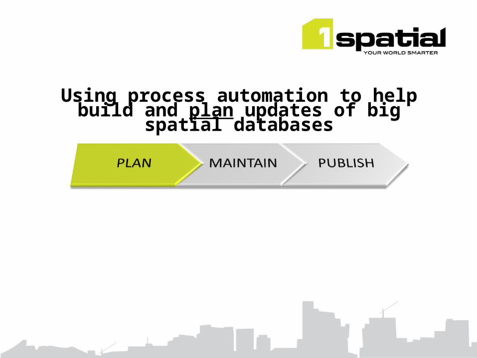
Using process automation to help build and plan updates of big spatial
databases

Example: PRIME2
•Will allow OSi to advance its role as the authoritative source of national spatial data and provider of data services
•“The most significant revision to OSi’s data management and product generation process in over 30 years”
•A database of real world features derived initially from multiple current sources
•A repository for:– a topologically clean skin of the earth– Road/Water/Rail networks– Buildings/Groups/Units and their relationships to each other and to Roads
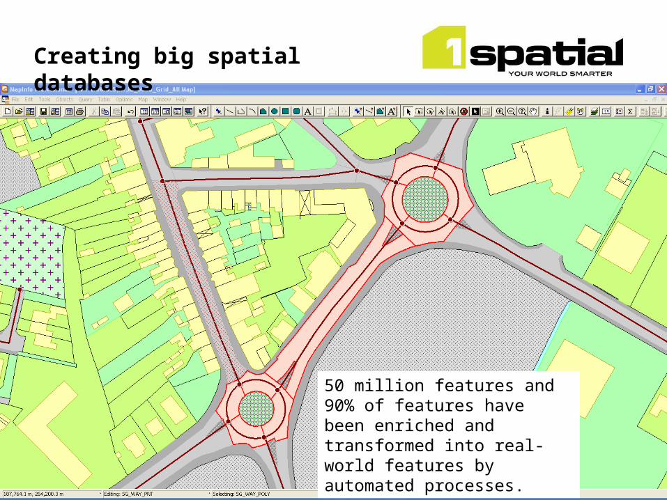
Creating big spatial databases

•PRIME2 is NOT a product (it can be used to derive products)
•Automation played a key role in its creation– Build real world features through rules and actions– Classify features and set properties– Data validation
•Estimated 5-7yr manual project completed in 18 months
•Automation can also be used for other processing tasks– edge matching– positional accuracy improvement (shift vector creation and shifting)
Creating big spatial databases

Creating big spatial databases

Creating big spatial databases
Creating big spatial databases
50 million features and 90% of features have been enriched and transformed into real-world features by automated processes.

Buildings More complex data models to accommodate “intelligent” real world data.
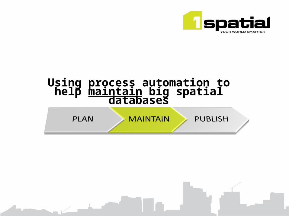
Using process automation to help maintain big spatial databases
Maintaining the Database
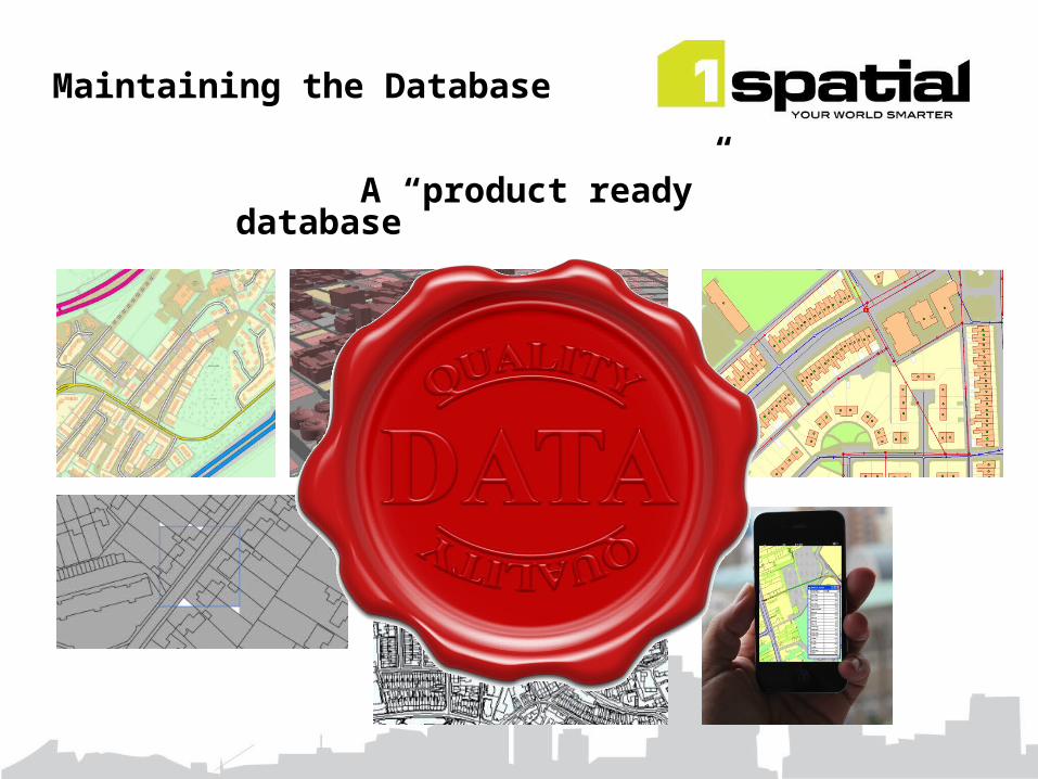
Maintaining the Database
A “product ready” database

@ Ordnance Survey Great Britain
Geospatial Database Management System capable of supporting:
•500 million features capacity (+ history)
•650 users
•4000 update jobs per day
•36 million features per day throughput
•313,000 features per day updated
•99.5% system availability
Maintaining the Database

Automation to help exploit big spatial databases

•Automatically create new data products & services
Exploiting Big Spatial Data

Exploiting Big Spatial Data
•Utilise real world features and relationships

•Build intelligent applications
Exploiting Big Spatial Data
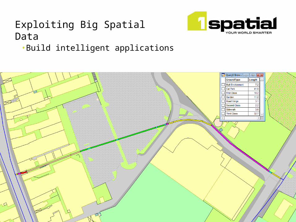
•Build intelligent applications
Exploiting Big Spatial Data

•Infer missing information
Exploiting Big Spatial Data
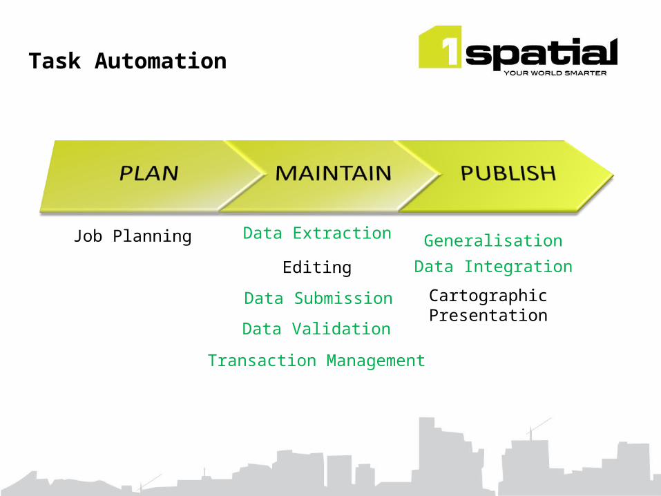
Task Automation
Job Planning Data Extraction
Data Submission
Transaction Management
Data Validation
Editing
Generalisation
Data Integration
Cartographic Presentation
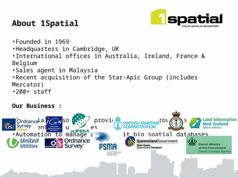
About 1Spatial
•Founded in 1969•Headquarters in Cambridge, UK•International offices in Australia, Ireland, France & Belgium•Sales agent in Malaysia•Recent acquisition of the Star-Apic Group (includes Mercator)•200+ staff
Our Business :
•A specialist solution provider to data providers, government and utilities•Automation to manage and exploit big spatial databases

Thank [email protected] Follow us @1spatial