Embed Size (px)
Citation preview
#335
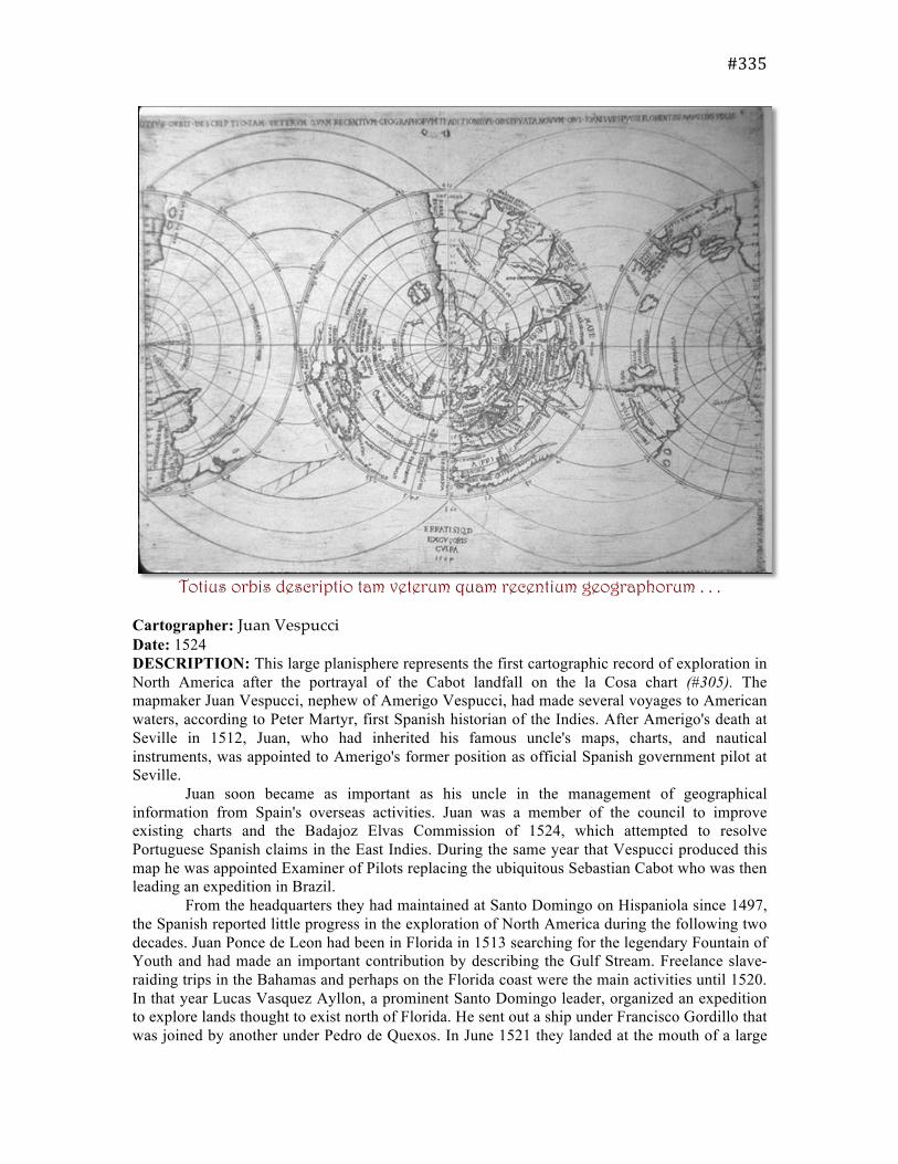
Totius orbis descriptio tam veterum quam recentium geographorum . . . Cartographer: Juan Vespucci Date: 1524 DESCRIPTION: This large planisphere represents the first cartographic record of exploration in North America after the portrayal of the Cabot landfall on the la Cosa chart (#305). The mapmaker Juan Vespucci, nephew of Amerigo Vespucci, had made several voyages to American waters, according to Peter Martyr, first Spanish historian of the Indies. After Amerigo's death at Seville in 1512, Juan, who had inherited his famous uncle's maps, charts, and nautical instruments, was appointed to Amerigo's former position as official Spanish government pilot at Seville. Juan soon became as important as his uncle in the management of geographical information from Spain's overseas activities. Juan was a member of the council to improve existing charts and the Badajoz Elvas Commission of 1524, which attempted to resolve Portuguese Spanish claims in the East Indies. During the same year that Vespucci produced this map he was appointed Examiner of Pilots replacing the ubiquitous Sebastian Cabot who was then leading an expedition in Brazil. From the headquarters they had maintained at Santo Domingo on Hispaniola since 1497, the Spanish reported little progress in the exploration of North America during the following two decades. Juan Ponce de Leon had been in Florida in 1513 searching for the legendary Fountain of Youth and had made an important contribution by describing the Gulf Stream. Freelance slave-raiding trips in the Bahamas and perhaps on the Florida coast were the main activities until 1520. In that year Lucas Vasquez Ayllon, a prominent Santo Domingo leader, organized an expedition to explore lands thought to exist north of Florida. He sent out a ship under Francisco Gordillo that was joined by another under Pedro de Quexos. In June 1521 they landed at the mouth of a large
#335
river, which they named after St. John the Baptist. The two captains claimed the surrounding land for Spain and, against Ayllon's orders, took 150 natives back to Santo Domingo to be sold as slaves. Quexos's ship returned safely, but Gordillo's was lost at sea. Diego Columbus headed a royal investigation that ordered the surviving Indians returned to their homeland and released. Ayllon received a royal grant of the territory and title of governor. In 1525 he sent Quexos back to explore further and he probed the coastline from Florida to just north of the Chesapeake. Not until July 1526 did Ayllon and his party of colonists land on the Carolina coast at the estuary they called the Jordan River. The colony was a tragic failure, but the pioneering Spaniards left their mark on the American southeastern coast via Vespucci's map. St. Helena, a sound between Beaufort and Edisto Island reflects this: it is one of the oldest place-names still in use on the Atlantic coast.
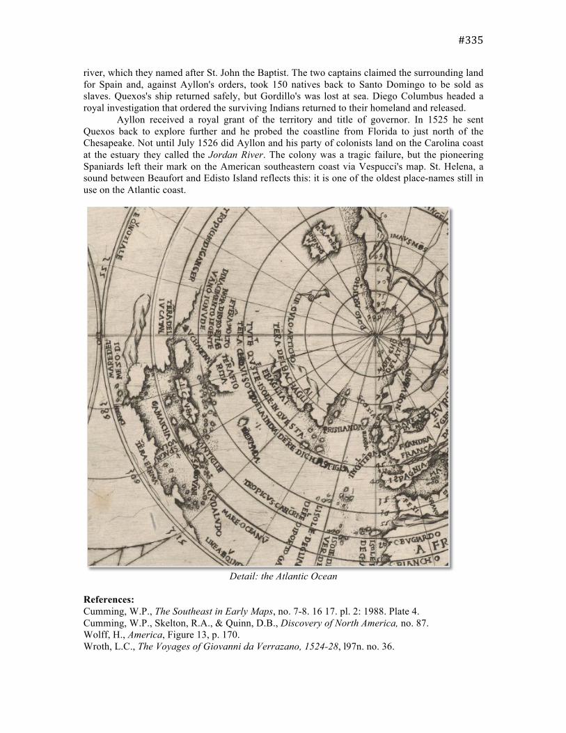
Detail: the Atlantic Ocean
References: Cumming, W.P., The Southeast in Early Maps, no. 7-8. 16 17. pl. 2: 1988. Plate 4. Cumming, W.P., Skelton, R.A., & Quinn, D.B., Discovery of North America, no. 87. Wolff, H., America, Figure 13, p. 170. Wroth, L.C., The Voyages of Giovanni da Verrazano, 1524-28, l97n. no. 36.