Embed Size (px)
Citation preview
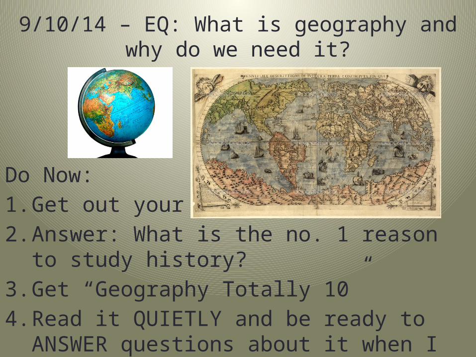
9/10/14 – EQ: What is geography and why do we need it?
Do Now:1. Get out your HW2. Answer: What is the no. 1 reason to study history?3. Get “Geography Totally 10”4. Read it QUIETLY and be ready to ANSWER
questions about it when I come in
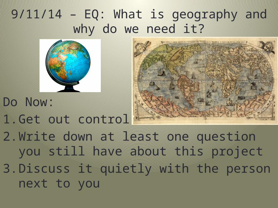
9/11/14 – EQ: What is geography and why do we need it?
Do Now:1. Get out control sheet2. Write down at least one question you still have
about this project3. Discuss it quietly with the person next to you

9/16/14 – EQ: What is geography and why do we need it?
Do Now:1. Get out control sheet2. Tally your points to check your progress3. Have your daily goals ready for me to check• If you’re missing any, fill them out before I come in
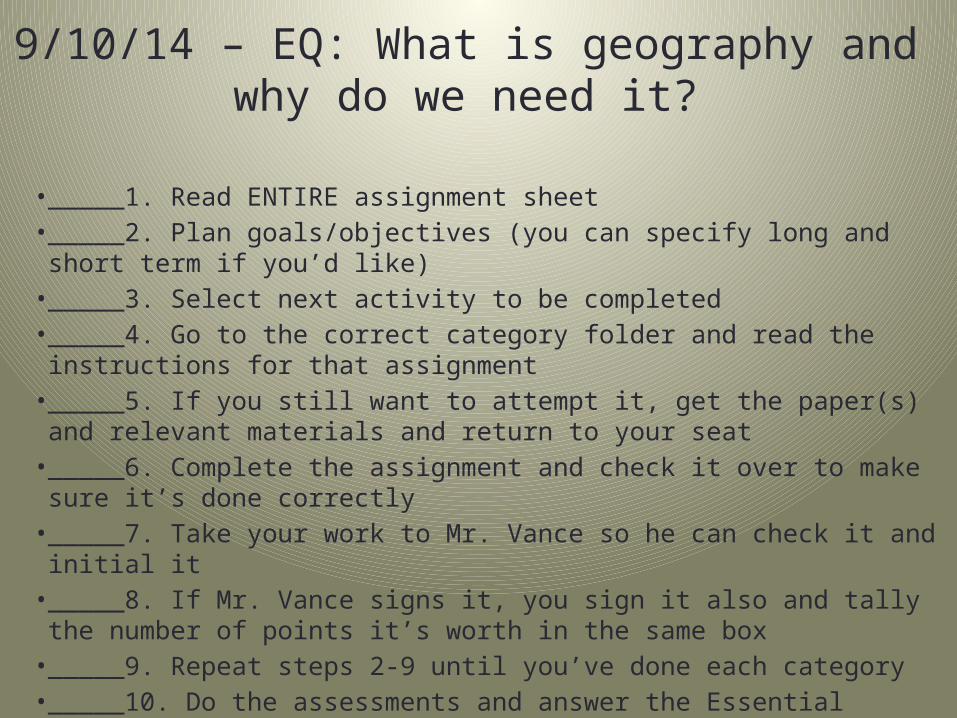
9/10/14 – EQ: What is geography and why do we need it?
• _____1. Read ENTIRE assignment sheet• _____2. Plan goals/objectives (you can specify long and short term
if you’d like)• _____3. Select next activity to be completed• _____4. Go to the correct category folder and read the instructions
for that assignment• _____5. If you still want to attempt it, get the paper(s) and relevant
materials and return to your seat• _____6. Complete the assignment and check it over to make sure
it’s done correctly• _____7. Take your work to Mr. Vance so he can check it and initial it• _____8. If Mr. Vance signs it, you sign it also and tally the number
of points it’s worth in the same box• _____9. Repeat steps 2-9 until you’ve done each category• _____10. Do the assessments and answer the Essential Question
(EQ)
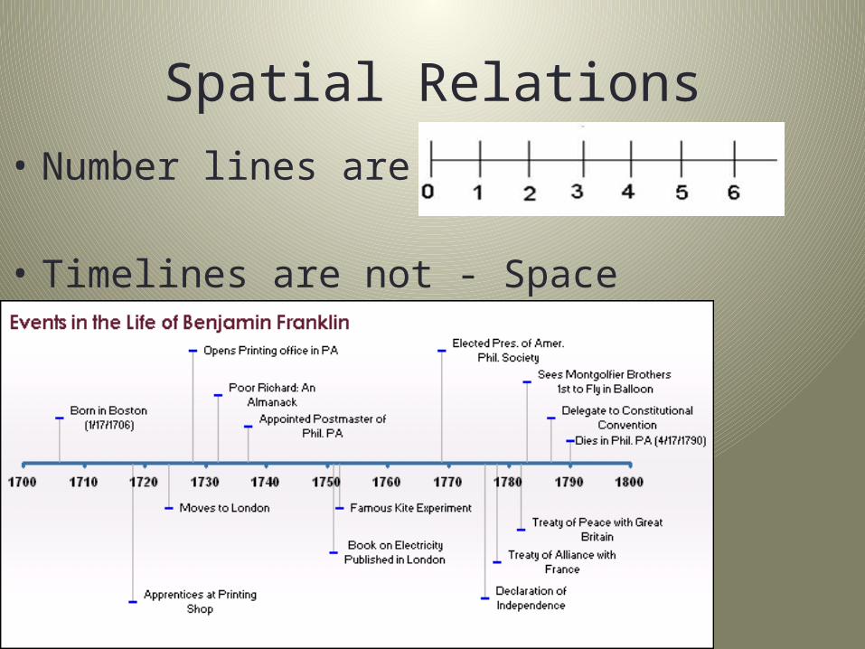
Spatial Relations• Number lines are even
• Timelines are not - Space Matters!!!
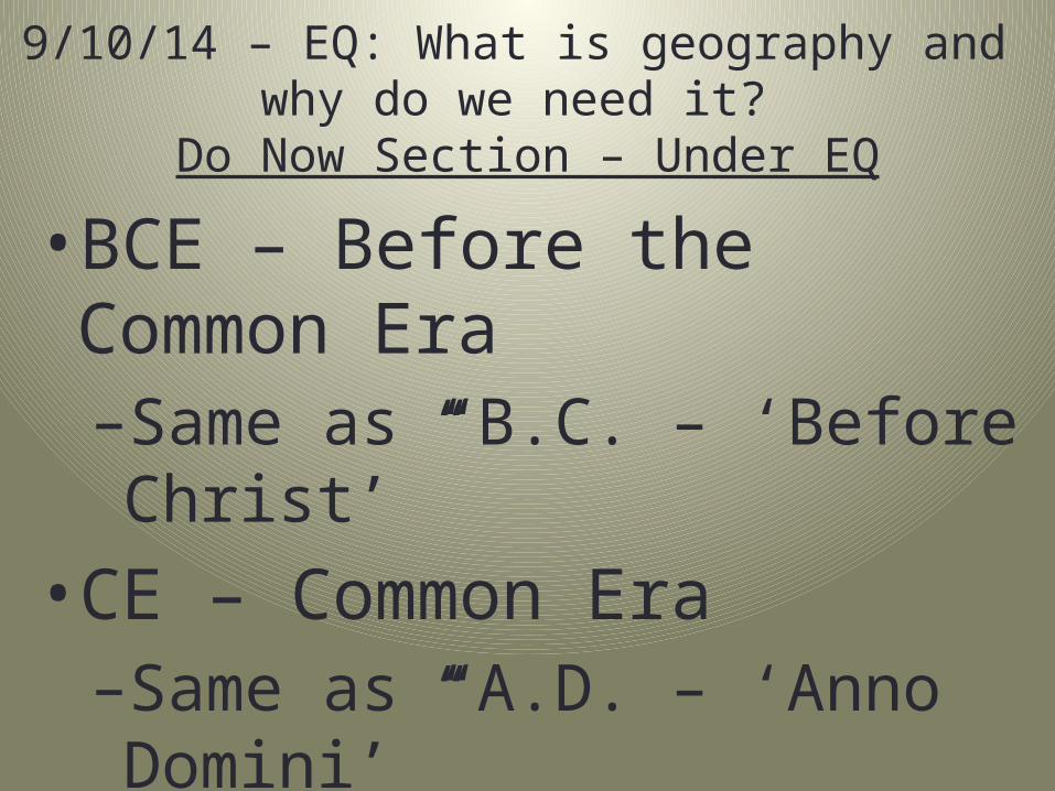
9/10/14 – EQ: What is geography and why do we need it?
Do Now Section – Under EQ
• BCE – Before the Common Era–Same as “B.C. – ‘Before Christ’”
• CE – Common Era–Same as “A.D. – ‘Anno Domini’”
• So this year is 2014 ___ & ___• 2015 years ago was 1 ___ & ___
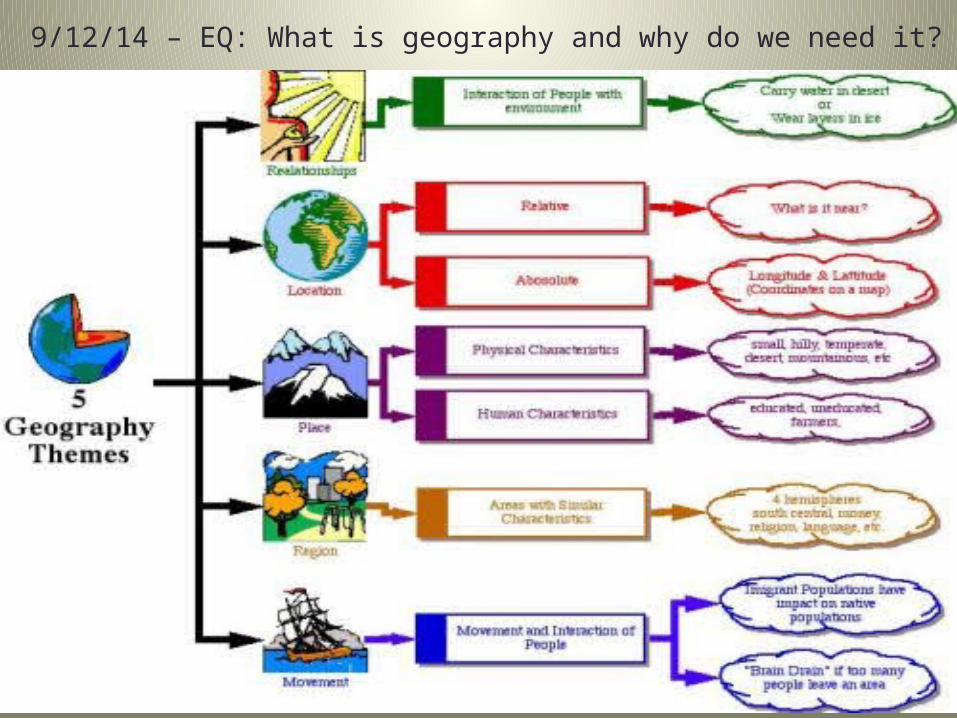
9/12/14 – EQ: What is geography and why do we need it?
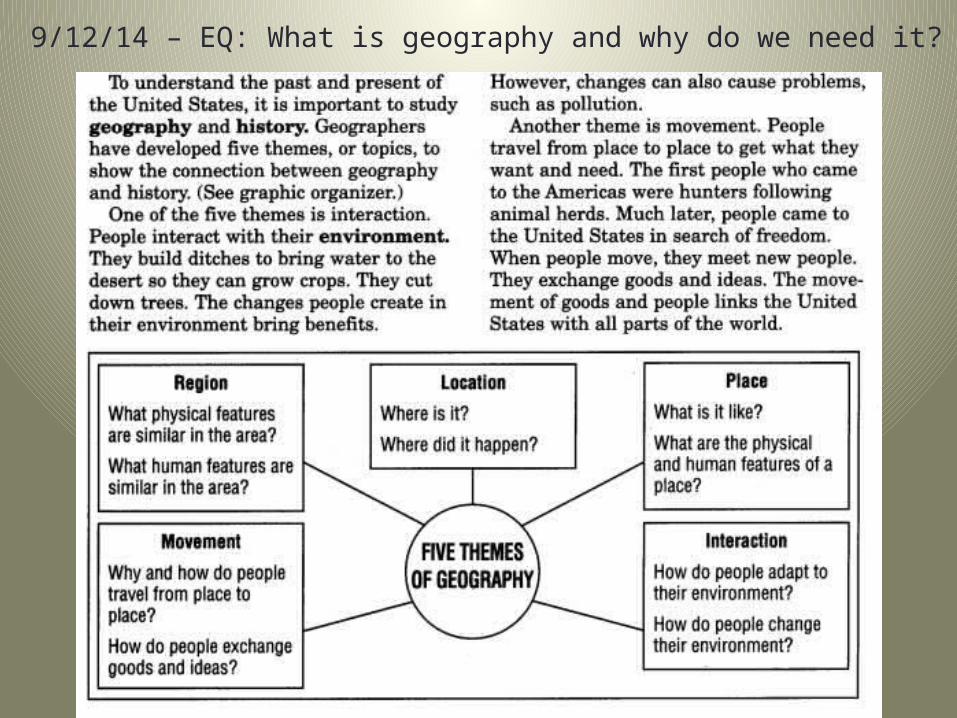
9/12/14 – EQ: What is geography and why do we need it?
Map Elements
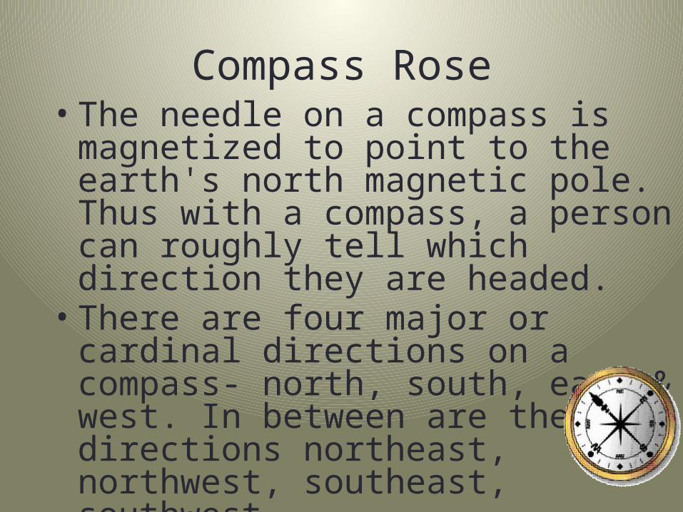
Compass Rose• The needle on a compass is magnetized to
point to the earth's north magnetic pole. Thus with a compass, a person can roughly tell which direction they are headed.
• There are four major or cardinal directions on a compass- north, south, east & west. In between are the directions northeast, northwest, southeast, southwest.
Directions
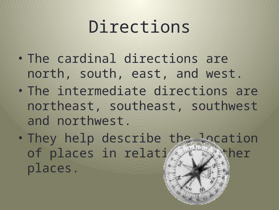
• The cardinal directions are north, south, east, and west.
• The intermediate directions are northeast, southeast, southwest and northwest.
• They help describe the location of places in relation to other places.
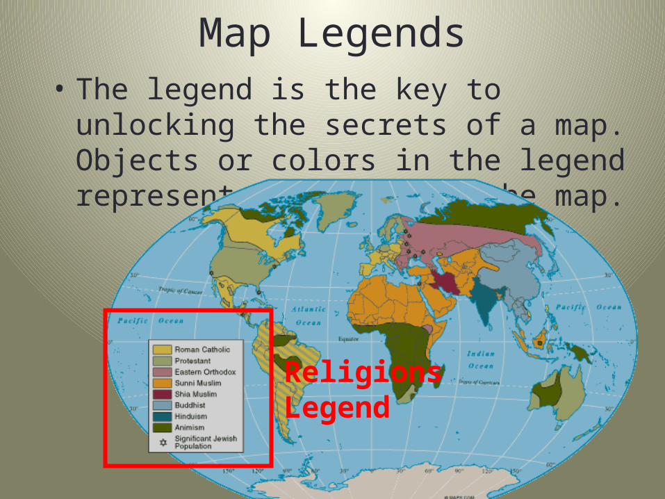
Map Legends• The legend is the key to unlocking the secrets of
a map. Objects or colors in the legend represent something on the map.
Religions Legend
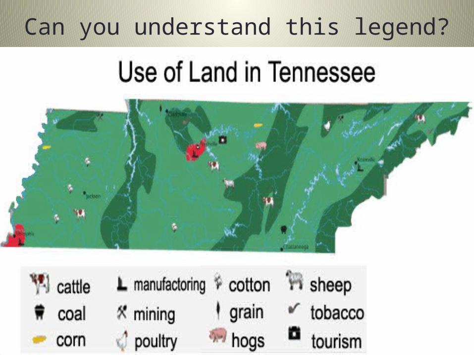
Can you understand this legend?
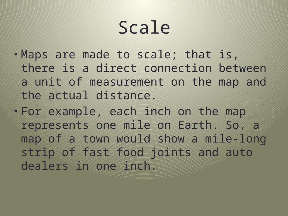
Scale• Maps are made to scale; that is, there is a
direct connection between a unit of measurement on the map and the actual distance.
• For example, each inch on the map represents one mile on Earth. So, a map of a town would show a mile-long strip of fast food joints and auto dealers in one inch.
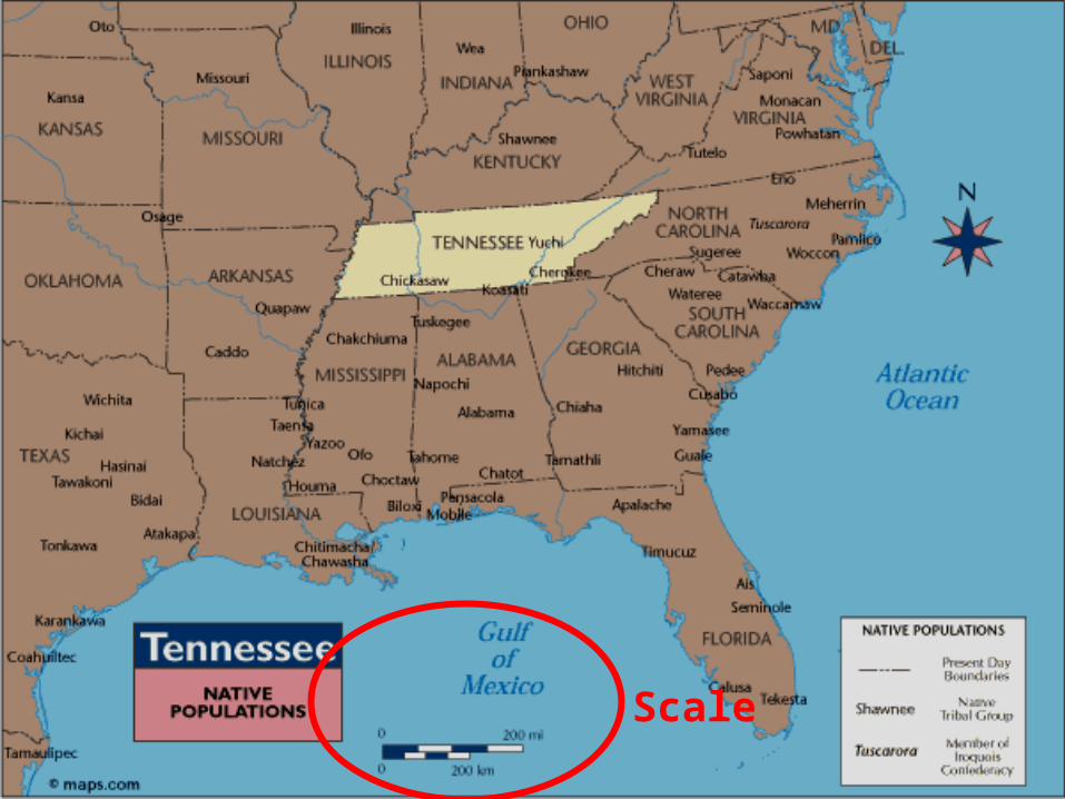
Scale
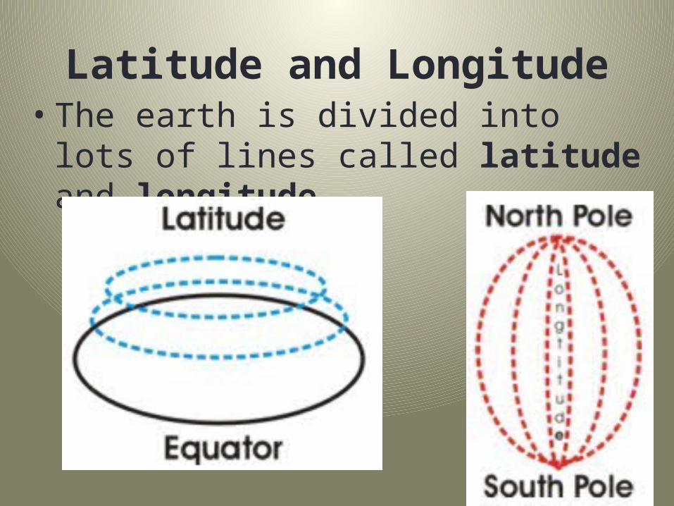
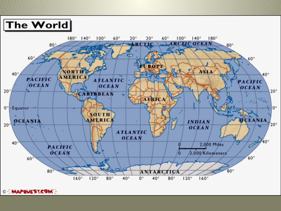
Latitude and Longitude• The earth is divided into lots of lines called
latitude and longitude.
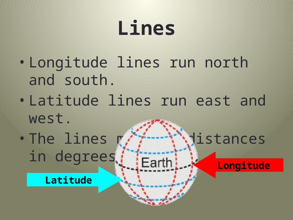
Lines
• Longitude lines run north and south.• Latitude lines run east and west. • The lines measure distances in degrees.
LongitudeLatitude
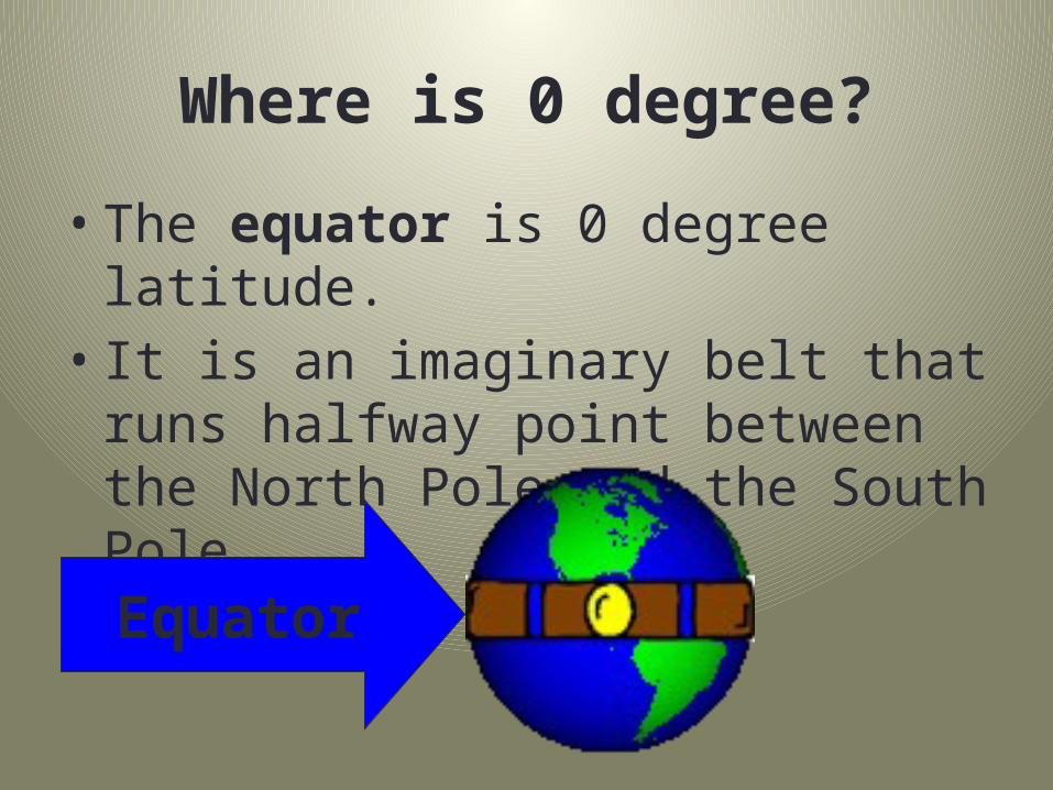
Where is 0 degree?
• The equator is 0 degree latitude. • It is an imaginary belt that runs halfway
point between the North Pole and the South Pole.
Equator
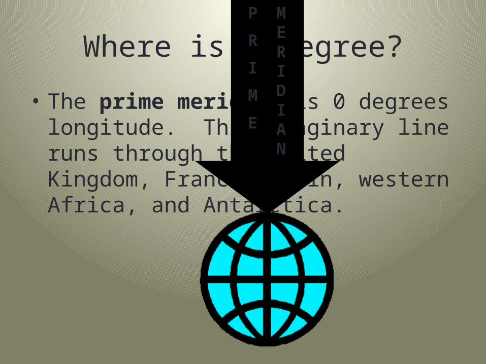
Where is 0 degree?
• The prime meridian is 0 degrees longitude. This imaginary line runs through the United Kingdom, France, Spain, western Africa, and Antarctica.
P
R
I
M
E
MERIDIAN
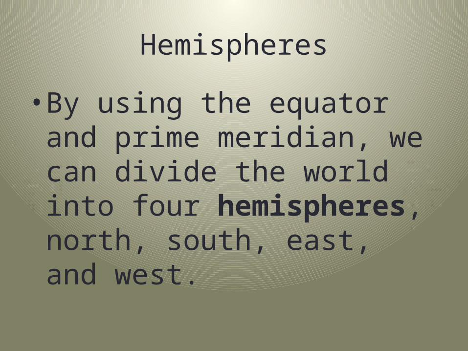
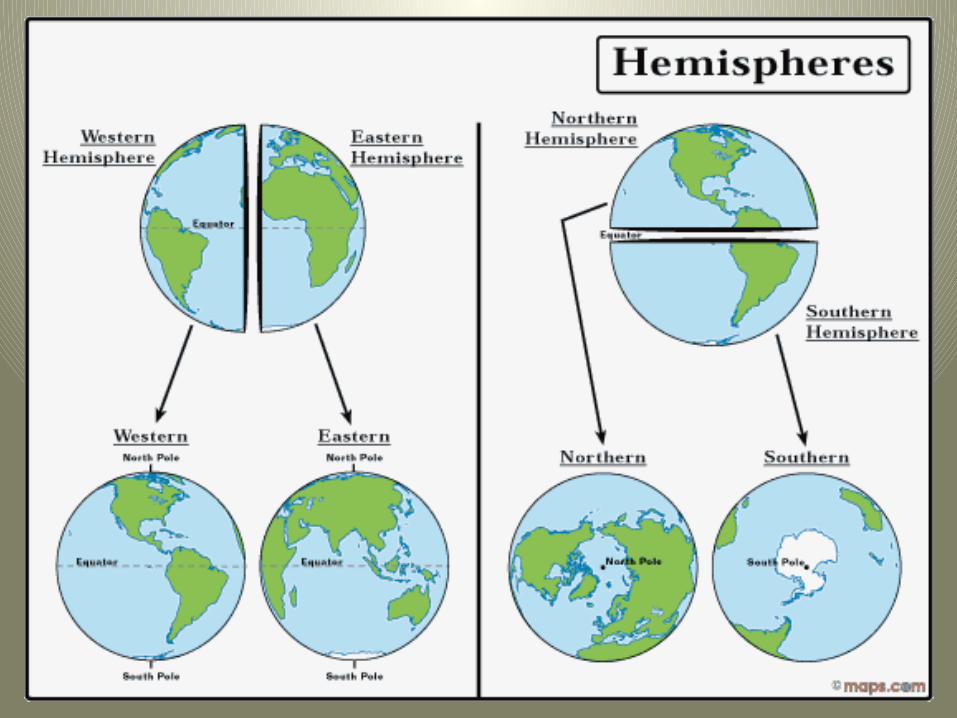
Hemispheres
• By using the equator and prime meridian, we can divide the world into four hemispheres, north, south, east, and west.
9/17/14 – EQ: What should you be expected to know about geography after this project?
Do Now:1. Put finished Totally 10 papers in period bin (with name!)2. Answer EQ in Do Now Section
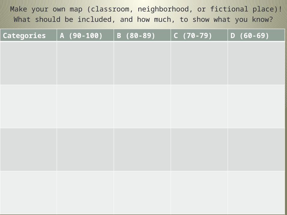
Categories A (90-100) B (80-89) C (70-79) D (60-69)
Make your own map (classroom, neighborhood, or fictional place)!What should be included, and how much, to show what you know?