Embed Size (px)
Citation preview
IntroductionComponents
Why contributeUse data
Community
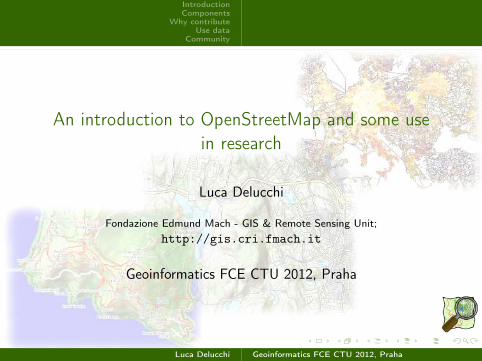
An introduction to OpenStreetMap and some use
in research
Luca Delucchi
Fondazione Edmund Mach - GIS & Remote Sensing Unit;
http://gis.cri.fmach.it
Geoinformatics FCE CTU 2012, Praha
Luca Delucchi Geoinformatics FCE CTU 2012, Praha

IntroductionComponents
Why contributeUse data
Community
AboutWhat is notWhyStory
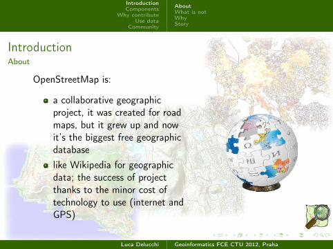
IntroductionAbout
OpenStreetMap is:
a collaborative geographicproject, it was created for roadmaps, but it grew up and nowit’s the biggest free geographicdatabase
Luca Delucchi Geoinformatics FCE CTU 2012, Praha
IntroductionComponents
Why contributeUse data
Community
AboutWhat is notWhyStory
IntroductionAbout
OpenStreetMap is:
a collaborative geographicproject, it was created for roadmaps, but it grew up and nowit’s the biggest free geographicdatabase
like Wikipedia for geographicdata; the success of projectthanks to the minor cost oftechnology to use (internet andGPS)
Luca Delucchi Geoinformatics FCE CTU 2012, Praha
IntroductionComponents
Why contributeUse data
Community
AboutWhat is notWhyStory
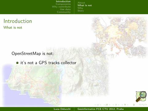
IntroductionWhat is not
OpenStreetMap is not:
it’s not a GPS tracks collector
Luca Delucchi Geoinformatics FCE CTU 2012, Praha
IntroductionComponents
Why contributeUse data
Community
AboutWhat is notWhyStory
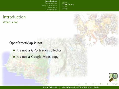
IntroductionWhat is not
OpenStreetMap is not:
it’s not a GPS tracks collector
it’s not a Google Maps copy
Luca Delucchi Geoinformatics FCE CTU 2012, Praha

IntroductionComponents
Why contributeUse data
Community
AboutWhat is notWhyStory
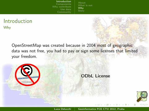
IntroductionWhy
OpenStreetMap was created because in 2004 most of geographicdata was not free, you had to pay or sign some licenses that limitedyour freedom.
Luca Delucchi Geoinformatics FCE CTU 2012, Praha
IntroductionComponents
Why contributeUse data
Community
AboutWhat is notWhyStory
IntroductionWhy
OpenStreetMap was created because in 2004 most of geographicdata was not free, you had to pay or sign some licenses that limitedyour freedom.
ODbL License
Luca Delucchi Geoinformatics FCE CTU 2012, Praha
IntroductionComponents
Why contributeUse data
Community
AboutWhat is notWhyStory
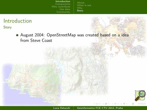
IntroductionStory
August 2004: OpenStreetMap was created based on a ideafrom Steve Coast
Luca Delucchi Geoinformatics FCE CTU 2012, Praha
IntroductionComponents
Why contributeUse data
Community
AboutWhat is notWhyStory
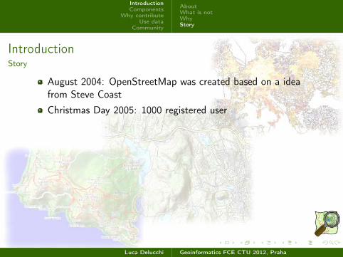
IntroductionStory
August 2004: OpenStreetMap was created based on a ideafrom Steve Coast
Christmas Day 2005: 1000 registered user
Luca Delucchi Geoinformatics FCE CTU 2012, Praha
IntroductionComponents
Why contributeUse data
Community
AboutWhat is notWhyStory
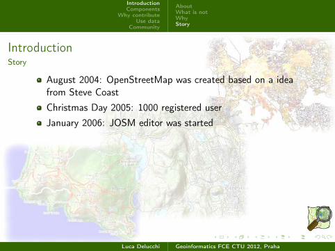
IntroductionStory
August 2004: OpenStreetMap was created based on a ideafrom Steve Coast
Christmas Day 2005: 1000 registered user
January 2006: JOSM editor was started
Luca Delucchi Geoinformatics FCE CTU 2012, Praha
IntroductionComponents
Why contributeUse data
Community
AboutWhat is notWhyStory
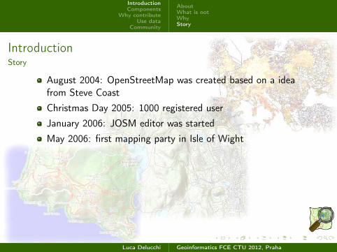
IntroductionStory
August 2004: OpenStreetMap was created based on a ideafrom Steve Coast
Christmas Day 2005: 1000 registered user
January 2006: JOSM editor was started
May 2006: first mapping party in Isle of Wight
Luca Delucchi Geoinformatics FCE CTU 2012, Praha
IntroductionComponents
Why contributeUse data
Community
AboutWhat is notWhyStory
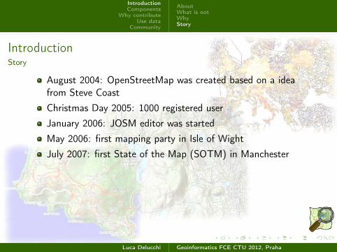
IntroductionStory
August 2004: OpenStreetMap was created based on a ideafrom Steve Coast
Christmas Day 2005: 1000 registered user
January 2006: JOSM editor was started
May 2006: first mapping party in Isle of Wight
July 2007: first State of the Map (SOTM) in Manchester
Luca Delucchi Geoinformatics FCE CTU 2012, Praha
IntroductionComponents
Why contributeUse data
Community
AboutWhat is notWhyStory
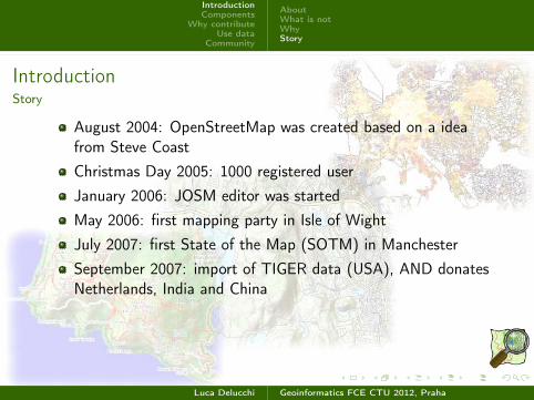
IntroductionStory
August 2004: OpenStreetMap was created based on a ideafrom Steve Coast
Christmas Day 2005: 1000 registered user
January 2006: JOSM editor was started
May 2006: first mapping party in Isle of Wight
July 2007: first State of the Map (SOTM) in Manchester
September 2007: import of TIGER data (USA), AND donatesNetherlands, India and China
Luca Delucchi Geoinformatics FCE CTU 2012, Praha
IntroductionComponents
Why contributeUse data
Community
AboutWhat is notWhyStory
IntroductionStory
August 2004: OpenStreetMap was created based on a ideafrom Steve Coast
Christmas Day 2005: 1000 registered user
January 2006: JOSM editor was started
May 2006: first mapping party in Isle of Wight
July 2007: first State of the Map (SOTM) in Manchester
September 2007: import of TIGER data (USA), AND donatesNetherlands, India and China
2008: first scientific pubblications about OpenStreetMap
Luca Delucchi Geoinformatics FCE CTU 2012, Praha
IntroductionComponents
Why contributeUse data
Community
AboutWhat is notWhyStory
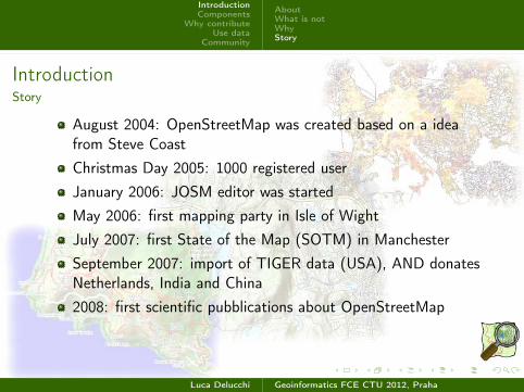
IntroductionStory
August 2004: OpenStreetMap was created based on a ideafrom Steve Coast
Christmas Day 2005: 1000 registered user
January 2006: JOSM editor was started
May 2006: first mapping party in Isle of Wight
July 2007: first State of the Map (SOTM) in Manchester
September 2007: import of TIGER data (USA), AND donatesNetherlands, India and China
2008: first scientific pubblications about OpenStreetMap
2009: Humanitarian OpenStreetMap Team
Luca Delucchi Geoinformatics FCE CTU 2012, Praha
IntroductionComponents
Why contributeUse data
Community
AboutWhat is notWhyStory
IntroductionStory
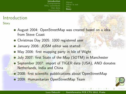
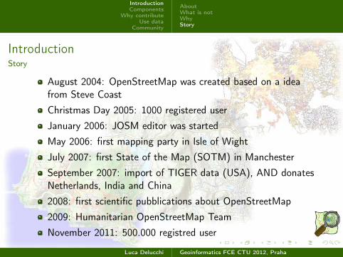
August 2004: OpenStreetMap was created based on a ideafrom Steve Coast
Christmas Day 2005: 1000 registered user
January 2006: JOSM editor was started
May 2006: first mapping party in Isle of Wight
July 2007: first State of the Map (SOTM) in Manchester
September 2007: import of TIGER data (USA), AND donatesNetherlands, India and China
2008: first scientific pubblications about OpenStreetMap
2009: Humanitarian OpenStreetMap Team
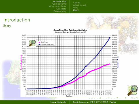
November 2011: 500.000 registred user
Luca Delucchi Geoinformatics FCE CTU 2012, Praha
IntroductionComponents
Why contributeUse data
Community
AboutWhat is notWhyStory
IntroductionStory
Luca Delucchi Geoinformatics FCE CTU 2012, Praha
IntroductionComponents
Why contributeUse data
Community
Quality check
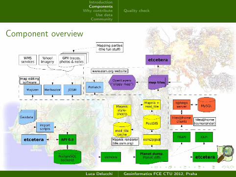
Component overview
Luca Delucchi Geoinformatics FCE CTU 2012, Praha
IntroductionComponents
Why contributeUse data
Community
Quality check
ComponentsQuality check
Quality is one of more important element of OpenStreetMap ...
Luca Delucchi Geoinformatics FCE CTU 2012, Praha
IntroductionComponents
Why contributeUse data
Community
Quality check
ComponentsQuality check
Quality is one of more important element of OpenStreetMap ...Quality check is done by:
Luca Delucchi Geoinformatics FCE CTU 2012, Praha

IntroductionComponents
Why contributeUse data
Community
Quality check
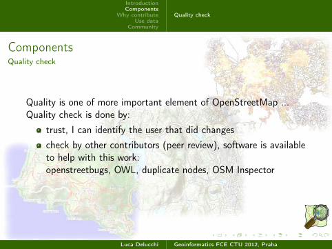
ComponentsQuality check
Quality is one of more important element of OpenStreetMap ...Quality check is done by:
trust, I can identify the user that did changes
Luca Delucchi Geoinformatics FCE CTU 2012, Praha
IntroductionComponents
Why contributeUse data
Community
Quality check
ComponentsQuality check
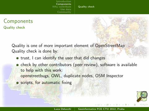
Quality is one of more important element of OpenStreetMap ...Quality check is done by:
trust, I can identify the user that did changes
check by other contributors (peer review), software is availableto help with this work:openstreetbugs, OWL, duplicate nodes, OSM Inspector
Luca Delucchi Geoinformatics FCE CTU 2012, Praha
IntroductionComponents
Why contributeUse data
Community
Quality check
ComponentsQuality check
Quality is one of more important element of OpenStreetMap ...Quality check is done by:
trust, I can identify the user that did changes
check by other contributors (peer review), software is availableto help with this work:openstreetbugs, OWL, duplicate nodes, OSM Inspector
scripts, for automatic fixing
Luca Delucchi Geoinformatics FCE CTU 2012, Praha
IntroductionComponents
Why contributeUse data
Community
FunHumanitarian helpProfessional applications
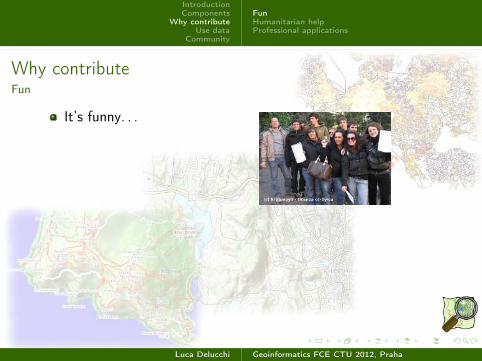
Why contributeFun
It’s funny. . .
Luca Delucchi Geoinformatics FCE CTU 2012, Praha
IntroductionComponents
Why contributeUse data
Community
FunHumanitarian helpProfessional applications
Why contributeFun
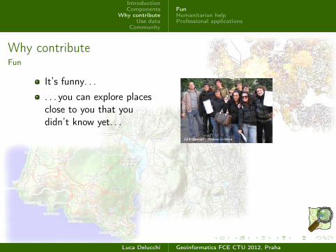
It’s funny. . .
. . . you can explore placesclose to you that youdidn’t know yet. . .
Luca Delucchi Geoinformatics FCE CTU 2012, Praha
IntroductionComponents
Why contributeUse data
Community
FunHumanitarian helpProfessional applications
Why contributeFun
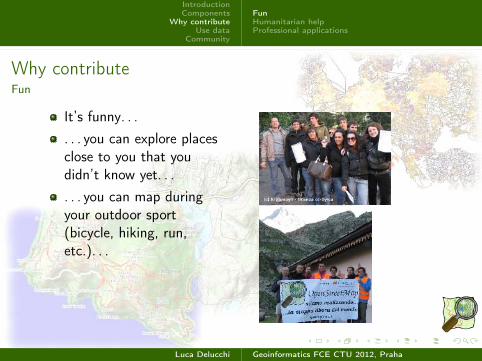
It’s funny. . .
. . . you can explore placesclose to you that youdidn’t know yet. . .
. . . you can map duringyour outdoor sport(bicycle, hiking, run,etc.). . .
Luca Delucchi Geoinformatics FCE CTU 2012, Praha
IntroductionComponents
Why contributeUse data
Community
FunHumanitarian helpProfessional applications
Why contributeFun
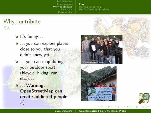
It’s funny. . .
. . . you can explore placesclose to you that youdidn’t know yet. . .
. . . you can map duringyour outdoor sport(bicycle, hiking, run,etc.). . .
. . .Warning:
OpenStreetMap can
create addicted people
:-)
Luca Delucchi Geoinformatics FCE CTU 2012, Praha
IntroductionComponents
Why contributeUse data
Community
FunHumanitarian helpProfessional applications
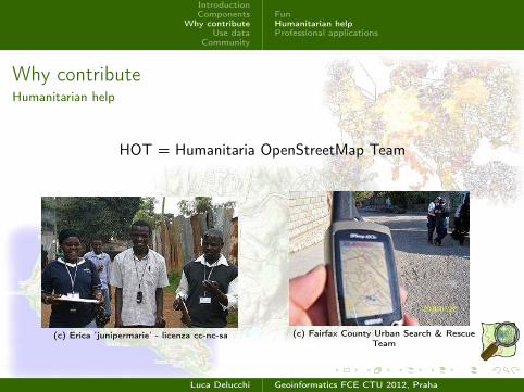
Why contributeHumanitarian help
HOT = Humanitaria OpenStreetMap Team
(c) Erica ’junipermarie’ - licenza cc-nc-sa (c) Fairfax County Urban Search & RescueTeam
Luca Delucchi Geoinformatics FCE CTU 2012, Praha
IntroductionComponents
Why contributeUse data
Community
FunHumanitarian helpProfessional applications
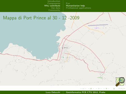
Mappa di Port Prince al 30 - 12 -2009
Luca Delucchi Geoinformatics FCE CTU 2012, Praha
IntroductionComponents
Why contributeUse data
Community
FunHumanitarian helpProfessional applications
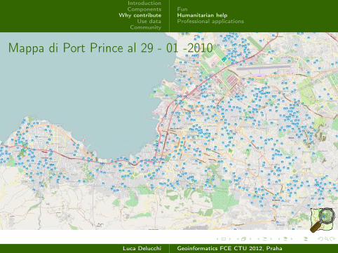
Mappa di Port Prince al 29 - 01 -2010
Luca Delucchi Geoinformatics FCE CTU 2012, Praha
IntroductionComponents
Why contributeUse data
Community
FunHumanitarian helpProfessional applications
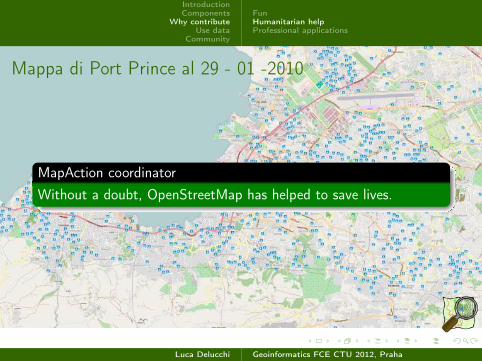
Mappa di Port Prince al 29 - 01 -2010
MapAction coordinator
Without a doubt, OpenStreetMap has helped to save lives.
Luca Delucchi Geoinformatics FCE CTU 2012, Praha
IntroductionComponents
Why contributeUse data
Community
FunHumanitarian helpProfessional applications
Why contributeHumanitarian help
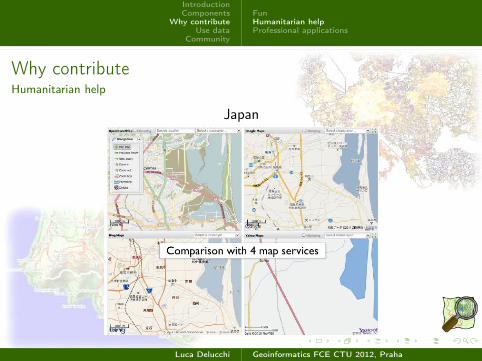
Japan
Luca Delucchi Geoinformatics FCE CTU 2012, Praha
IntroductionComponents
Why contributeUse data
Community
FunHumanitarian helpProfessional applications
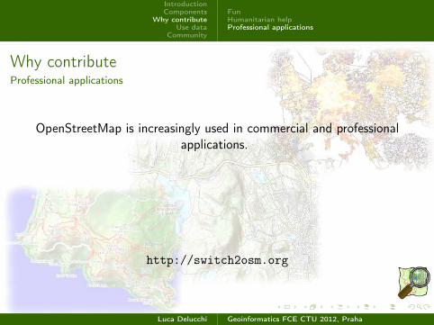
Why contributeProfessional applications
OpenStreetMap is increasingly used in commercial and professionalapplications.
http://switch2osm.org
Luca Delucchi Geoinformatics FCE CTU 2012, Praha
IntroductionComponents
Why contributeUse data
Community
FunHumanitarian helpProfessional applications
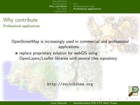
Why contributeProfessional applications
OpenStreetMap is increasingly used in commercial and professionalapplications.
replace proprietary solution for webGIS usingOpenLayers/Leaflet libraries with several tiles repository
http://switch2osm.org
Luca Delucchi Geoinformatics FCE CTU 2012, Praha
IntroductionComponents
Why contributeUse data
Community
FunHumanitarian helpProfessional applications
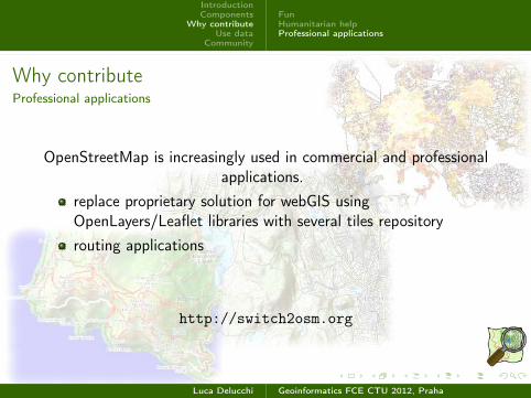
Why contributeProfessional applications
OpenStreetMap is increasingly used in commercial and professionalapplications.
replace proprietary solution for webGIS usingOpenLayers/Leaflet libraries with several tiles repository
routing applications
http://switch2osm.org
Luca Delucchi Geoinformatics FCE CTU 2012, Praha

IntroductionComponents
Why contributeUse data
Community
FunHumanitarian helpProfessional applications
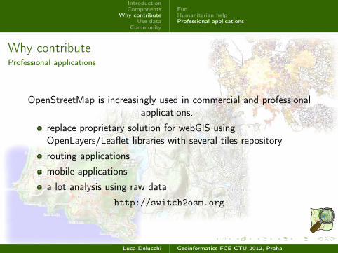
Why contributeProfessional applications
OpenStreetMap is increasingly used in commercial and professionalapplications.
replace proprietary solution for webGIS usingOpenLayers/Leaflet libraries with several tiles repository
routing applications
mobile applications
http://switch2osm.org
Luca Delucchi Geoinformatics FCE CTU 2012, Praha
IntroductionComponents
Why contributeUse data
Community
FunHumanitarian helpProfessional applications
Why contributeProfessional applications
OpenStreetMap is increasingly used in commercial and professionalapplications.
replace proprietary solution for webGIS usingOpenLayers/Leaflet libraries with several tiles repository
routing applications
mobile applications
a lot analysis using raw data
http://switch2osm.org
Luca Delucchi Geoinformatics FCE CTU 2012, Praha
IntroductionComponents
Why contributeUse data
Community
WebBase layerRoutingSocial
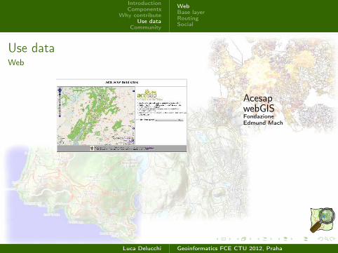
Use dataWeb
AcesapwebGISFondazioneEdmund Mach
Luca Delucchi Geoinformatics FCE CTU 2012, Praha
IntroductionComponents
Why contributeUse data
Community
WebBase layerRoutingSocial
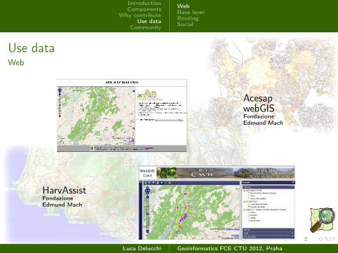
Use dataWeb
AcesapwebGISFondazioneEdmund Mach
HarvAssistFondazioneEdmund Mach
Luca Delucchi Geoinformatics FCE CTU 2012, Praha

IntroductionComponents
Why contributeUse data
Community
WebBase layerRoutingSocial
Use dataBase layer
Fondazione Edmund MachCreated by GRASS Cartographic Composer developed by Anna Kratochvilova
Luca Delucchi Geoinformatics FCE CTU 2012, Praha
IntroductionComponents
Why contributeUse data
Community
WebBase layerRoutingSocial
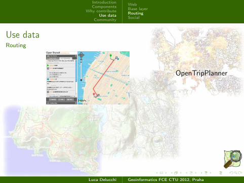
Use dataRouting
OpenTripPlanner
Luca Delucchi Geoinformatics FCE CTU 2012, Praha
IntroductionComponents
Why contributeUse data
Community
WebBase layerRoutingSocial
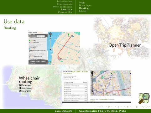
Use dataRouting
OpenTripPlanner
WheelchairroutingGIScienceHeidelbergUniversity
Luca Delucchi Geoinformatics FCE CTU 2012, Praha
IntroductionComponents
Why contributeUse data
Community
WebBase layerRoutingSocial
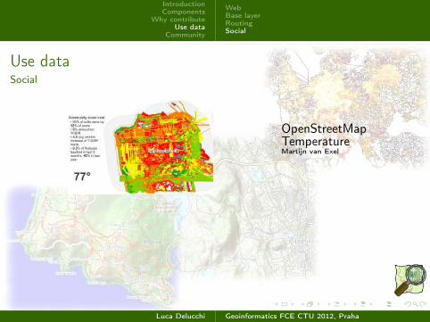
Use dataSocial
OpenStreetMapTemperatureMartijn van Exel
Luca Delucchi Geoinformatics FCE CTU 2012, Praha
IntroductionComponents
Why contributeUse data
Community
WebBase layerRoutingSocial
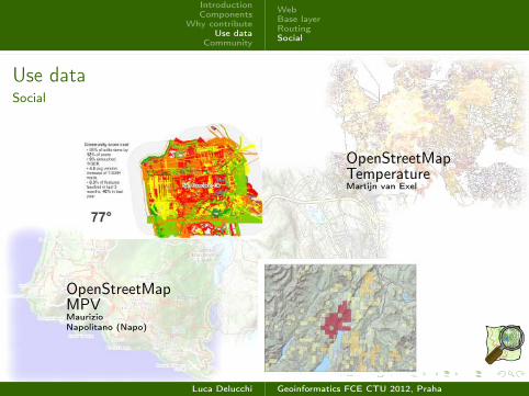
Use dataSocial
OpenStreetMapTemperatureMartijn van Exel
OpenStreetMapMPVMaurizioNapolitano (Napo)
Luca Delucchi Geoinformatics FCE CTU 2012, Praha
IntroductionComponents
Why contributeUse data
Community
Thanks toLicenze
Some links
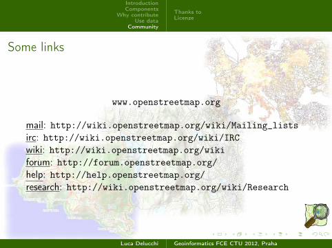
www.openstreetmap.org
mail: http://wiki.openstreetmap.org/wiki/Mailing_listsirc: http://wiki.openstreetmap.org/wiki/IRCwiki: http://wiki.openstreetmap.org/wikiforum: http://forum.openstreetmap.org/help: http://help.openstreetmap.org/research: http://wiki.openstreetmap.org/wiki/Research
Luca Delucchi Geoinformatics FCE CTU 2012, Praha
IntroductionComponents
Why contributeUse data
Community
Thanks toLicenze
CommunityThanks to...
Steve Coast, Simone Cortesi, Schuyler Erle, GIScience HeidelbergUniversity, Edoardo Marascalchi, Mikel Maron, MaurizioNapolitano, Ivan Sanchez Ortega, David Paleino, Frederick Ramm,Niccolò Rigacci, Dane Springmeyer, University College London,Martijn van Exel.....
Luca Delucchi Geoinformatics FCE CTU 2012, Praha
IntroductionComponents
Why contributeUse data
Community
Thanks toLicenze
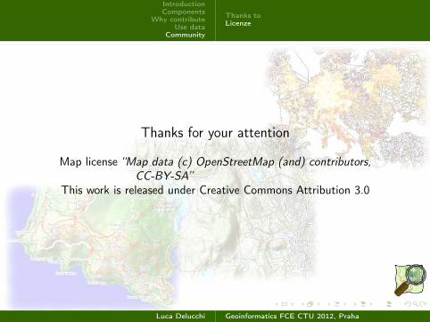
Thanks for your attention
Map license “Map data (c) OpenStreetMap (and) contributors,CC-BY-SA”
This work is released under Creative Commons Attribution 3.0
Luca Delucchi Geoinformatics FCE CTU 2012, Praha