Embed Size (px)
Citation preview

1
Chapter 1
Introduction to World Regional Geography
2
Chapter 1: Introduction to World Regional Geography
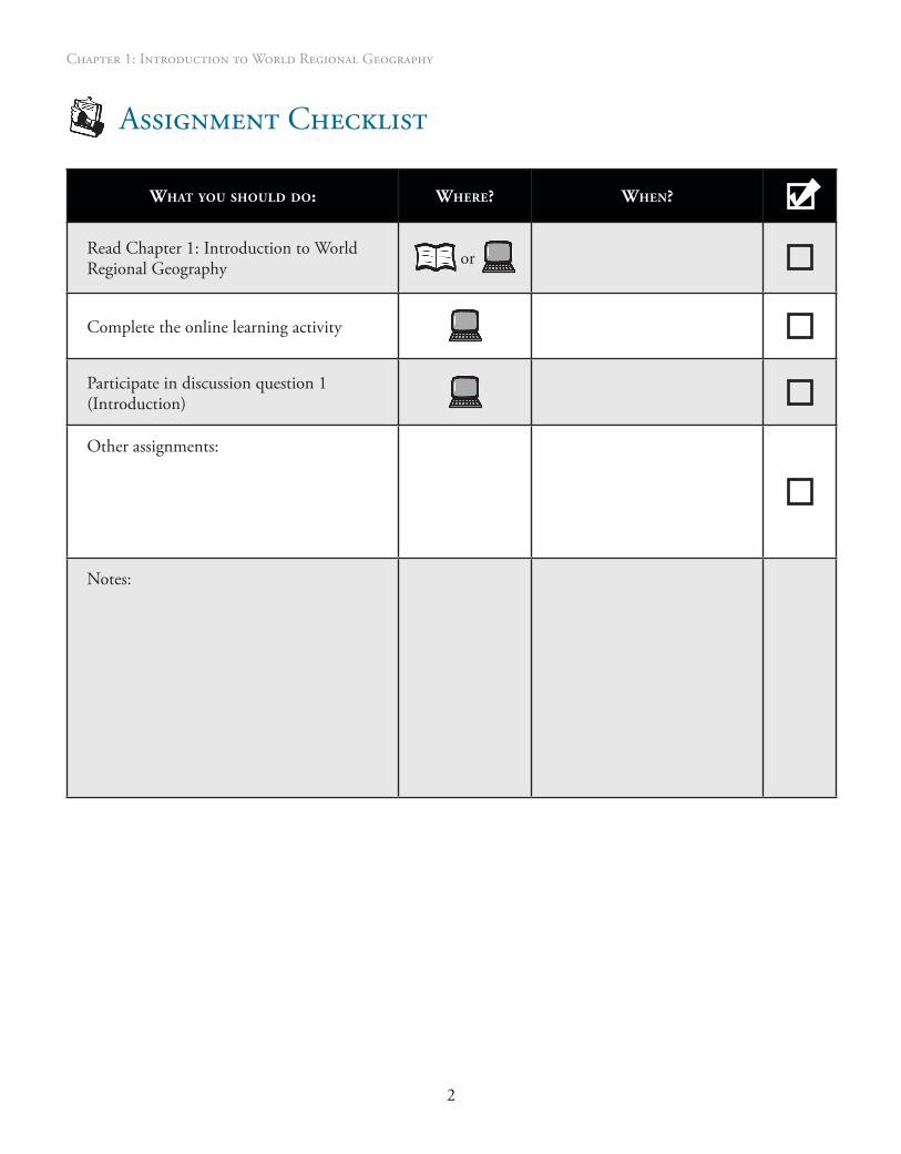
Assignment Checklist
What you should do: Where? When?
Read Chapter 1: Introduction to World Regional Geography
or
Complete the online learning activity
Participate in discussion question 1 (Introduction)
Other assignments:
Notes:
3
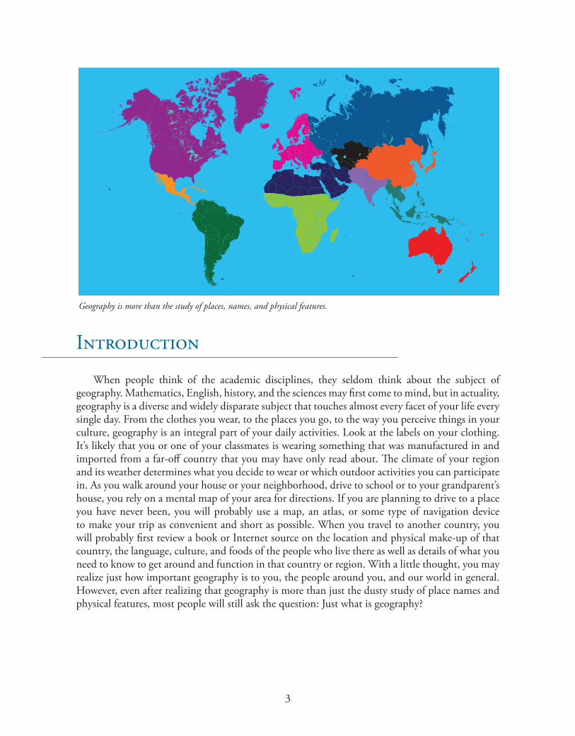
Geography is more than the study of places, names, and physical features.
Introduction
When people think of the academic disciplines, they seldom think about the subject of geography. Mathematics, English, history, and the sciences may first come to mind, but in actuality, geography is a diverse and widely disparate subject that touches almost every facet of your life every single day. From the clothes you wear, to the places you go, to the way you perceive things in your culture, geography is an integral part of your daily activities. Look at the labels on your clothing. It’s likely that you or one of your classmates is wearing something that was manufactured in and imported from a far-off country that you may have only read about. The climate of your region and its weather determines what you decide to wear or which outdoor activities you can participate in. As you walk around your house or your neighborhood, drive to school or to your grandparent’s house, you rely on a mental map of your area for directions. If you are planning to drive to a place you have never been, you will probably use a map, an atlas, or some type of navigation device to make your trip as convenient and short as possible. When you travel to another country, you will probably first review a book or Internet source on the location and physical make-up of that country, the language, culture, and foods of the people who live there as well as details of what you need to know to get around and function in that country or region. With a little thought, you may realize just how important geography is to you, the people around you, and our world in general. However, even after realizing that geography is more than just the dusty study of place names and physical features, most people will still ask the question: Just what is geography?
4
Chapter 1: Introduction to World Regional Geography
Learning Objectives
After completing this chapter you should be able to
•Define the regional approach to geography•Define geography as a discipline•Define and apply the five themes of geography•Distinguish between the various types of geography•Describe the various fields in which geographers work• Identify and describe the tools that geographers use
Key Terms
Absolute location: the fixed position of a place
Arable: suitable for agriculture
Atlas: a collection of maps
Axis: the imaginary line that goes through the center of Earth
Cartography: the art, science, and practice of making maps
Climate: the composite or generally prevailing weather conditions of a region such as temperature, air pressure, humidity, precipitation, sunshine, cloudiness, and winds throughout the year, averaged over a series of years
Equator: the imaginary line that separates the Northern and Southern Hemispheres
Equinox: the time when the sun crosses the plane of the Earth’s equator making night and day of approximately equal length all over the Earth and occurring about March 21 (vernal equinox or spring equinox) and September 22 (autumnal equinox)
Formal region: a type of region characterized by particular human or physical properties
Functional region: a type of region organized around a node (focal point) with surrounding areas connected by some common link
Geographic Information System (GIS): a computer application used to store, view, and analyze geographical information, especially maps
Hemisphere: a half of the terrestrial globe or celestial sphere, especially one of the halves into which the Earth is divided. The most common hemisphere divides are based on direction: Eastern, Western, Northern, and Southern.

5
High latitudes: the area north of the Arctic Circle and south of the Antarctic Circle
Latitude: the angular distance north or south between the equator and a point on the Earth’s surface, measured on the meridian of the point
Low latitudes: the region of Earth between the Tropics of Cancer and Capricorn
Meteorologists: the scientists who study the atmosphere and its phenomena including weather and climate
Middle latitudes: the wide belts between the high and low latitudes
Pedology: the science concerned with the study of soils
Perceptual region: the way a person views a particular region
Region: a part of the Earth’s surface united by a shared characteristic
Relative location: the location of an object in relation to another object
Revolution: a single turn of a cycle, such as the revolution that the earth makes around the sun each year
Rotation: a turning around, as on an axis
Solstice: either of the two times a year when the sun is at its greatest distance from the celestial equator, about June 21 (summer solstice) when the sun reaches its northernmost point on the celestial sphere, or about December 22 (winter solstice) when it reaches its southernmost point
Temperate region: the region between the tropics and the polar regions
Themes of geography (five themes of geography): the framework through which geography can be studied and taught: location, place, region, movement, and human-environment interaction
Tropic of Capricorn/Tropic of Cancer: either of two corresponding parallels of latitude on the terrestrial globe, one (Tropic of Cancer) about 23.5 degrees north and the other (Tropic of Capricorn) about 23.5 degrees south of the equator, the boundaries of the Torrid Zone
Vernacular region: a region as defined by personal perception, that is, by the way local people describe the place they live
Foundations of World Regional Geography
Many people think of geography as learning endless locations on a map, but the discipline is much more than that. One of the most important things you can take away from this course is the knowledge that geography consists of more than the rote memorization of states and their capitals and the location of the Golden Gate Bridge. But if geography isn’t just about memorizing these physical facts, then what is it really all about? True, in its most basic form geography is the study
6
Chapter 1: Introduction to World Regional Geography
of where things and places are in our physical world in relationship to each other, but the subject encompasses far more. Geography is not only the study of Earth, its physiographic regions, the physical and artificial features on its surface, and their relationships to each other. It is also the study of how the human interaction with those physical features and the unique environments produced have affected the development of the peoples and cultures who inhabit those regions; furthermore, it is the study of the way people view and interact with other people and the world around them. That’s a large area of study and one that is increasingly relevant today in our shrinking, globalized world of the twenty-first century.
Geography gets its name from the Greek words geo (Earth) and graph (to write about or describe). So from its Greek origin, geography literally means “to describe the Earth.” Geography is the study of the Earth, the people, places, and things on it, and their interaction with each other. A scientist who specializes in the study of geography is called a geographer. Geography is unlike any other subject because it combines both physical and social sciences. Geography involves the study of landforms, much like geology, which is a physical science. But geography also examines how human cultures live and interact with each other, much like sociology, one of the social sciences. In studying the Earth, geographers ask two important questions: Where? and Why? You know, for example, that Washington, DC, the nation’s capital, is
located on the east coast of the United States. But do you know why it is located there? Why isn’t the nation’s capital located in Kansas or California? The nation’s capital is located in the east because in 1793, when the location for the capital that would be Washington, DC, was selected, the United States’ population was heavily concentrated on the east coast. In fact, all eight of the previous national capitals in United States history have also been in the East. Before 1791, the federal government had no permanent site, so the early Congresses met in eight different cities: Philadelphia, Lancaster, and York, Pennsylvania; Princeton and Trenton, New Jersey; Baltimore and Annapolis, Maryland; and New York City.
Since the United States originated along what is now the country’s east coast as the thirteen British colonies, the capital could not have been in Kansas or California in 1793 because they were not even part of the U.S. territory at the time. From 1782-1783, treaties with the British established the United States as an independent country and set its initial boundaries. The British colony of Canada was set as the country’s northern border; in the south, it was Spanish Florida; the Mississippi River was the western boundary; and in the east, it was the Atlantic Ocean. The young United States did not begin its major westward expansion until after the famed Lewis and Clark Expedition set out in 1804 to explore what lay between the Mississippi River and the Pacific Northwest. Geography had a major influence on the location of our nation’s capital.
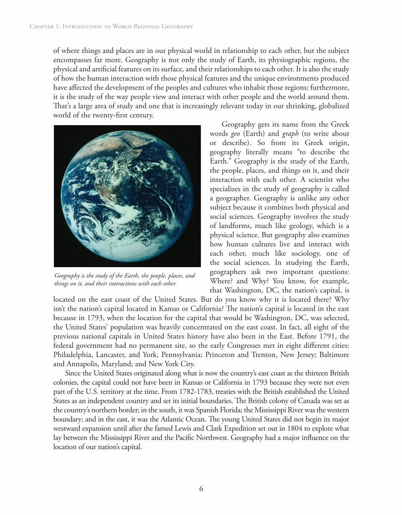
Geography is the study of the Earth, the people, places, and things on it, and their interactions with each other.
7
Approaches to Studying World Regional Geography
The earth is a large, complex, and interrelated system. It contains many different countries, cultures, physical features, and problems. To make the study of our Earth and all of its complexities more manageable, geography is often studied in terms of regions and themes of geography.
To visualize this concept, think of the world as one big family. Regions are the smaller families that make up the big ones. Studying the world in regions allows you to closely examine it by dividing it into smaller sections. Like families, regions have certain things in common. The United States and Canada, two of the countries that make up North America, have a common British heritage in terms of their history, cultures, and language. Great Britain played a large role in their histories and this early influence can still be seen in their cultures today.
Themes, or topics, are used to look at different areas of study within geography. The five widely recognized themes of geography are location, place, movement, regions, and human-environment interaction. These themes were developed in 1984 by the Joint Committee on Geographic Education of the National Council for Geographic Education and the Association of American Geographers. One way to recall all five themes is to simply remember MR. HELP (movement, region, human-environment interaction, location, and place). Each theme looks at a different aspect of geography and how it relates to the others.
locatIon
Every place on Earth has an absolute and relative location. Absolute location is the exact physical location of a place. Parallels of latitude measure distances north and south of the imaginary midline that encircles the Earth, called the equator. Meridians of longitude measure distances east and west of the imaginary north and south dividing line, called the prime meridian. Using this system of latitude and longitude, the coordinates show Jacksonville, Florida, is located at 30.32 degrees north latitude and 81.65 degrees west longitude. Relative location is where a place is in relation to another place. For example, Jacksonville is north of Miami, Florida. If you want to locate places, an atlas is a helpful tool. An atlas is a book organized by geographic area—such as city, state, region, country, and world regions—containing a variety of maps. There are also numerous atlases available on the Internet.
Place
Every place on the planet has certain physical and human characteristics that make it different from other places. The theme of place identifies those characteristics. Think about
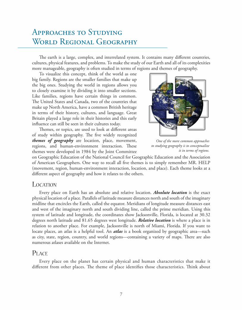
One of the more common approaches to studying geography is to conceptualize
it in terms of regions.
8
Chapter 1: Introduction to World Regional Geography
the features that distinguish Denver, Colorado, from San Francisco, California. Denver, the “Mile-High City,” is at the foot of the massive and picturesque Rocky Mountains. What trip to San Francisco would be complete without touring the Golden Gate Bridge? Another example would be the Great Wall of China, which is one of the world’s most recognizable features. Spanning some 4,160 miles (6,695 kilometers), it is the longest structure in the world created by humans. It was first built in the seventh century BCE to protect the northern borders of the Chinese empire from Mongolian attacks. Other characteristics like language, religion, food, and clothing also differ from one place to another. To understand a place, you have to first understand the characteristics that make it unique.
regIons
The place you live—whether you live in a city, a small town, or in a rural area—is part of a region. A region is a specific geographical area defined by certain unifying characteristics. There are three types of geographic regions: formal, functional, and perceptual.
Formal regions are those that are recognized by official boundaries such as cities, states, and countries. Functional regions, also known as nodal regions, are organized around a node or focal point with the surrounding areas linked to that node. For example, think about the US Postal Service. All of the cities, towns, and rural areas that receive mail from a particular post office would be in that post office’s functional region. There are also perceptual regions. In these regions, which are also called vernacular regions, people share a particular language, religion, nationality, or political system. They could also have a common climate, landform, or vegetation type. Perceptual regions don’t have the precise boundaries of formal regions. Their boundaries are perceptions, or subjective images, which rely on mental maps of an area.
movement
Geographers are also interested in movement—how people, goods, services, and ideas migrate from one place to another. Immigration, a form of movement, has played an important historical role in the development of the United States. With the exception of the descendants of the native peoples of the continent who were here when the first Europeans arrived and settled in North America, all inhabitants of North America spring from immigrants. Immigrants have formed the basis for many of the movements of cultures and ideas that have occurred around the world throughout human history, and this movement of peoples (peacefully or otherwise) and their new concepts has often, in the end, added vitality and strength to stagnant cultures on the verge of decline. This is occurring even today with a massive movement and realignment of populations across the globe. The influx of peoples from the poor and lesser developed countries to the rich, developed countries of the West has fundamentally changed the composition of their populations. For example, in 2006 in the United States, Mexican immigrants represented the largest single immigrant group (11.5 million) living in the United States. New immigrants to our country, their children, and grandchildren born in the United States will account for 82% of the country’s projected population increase from 2005 to 2050 (Passel and Cohn). This makes the United States one of the few developed nations whose population is growing at a rate to prevent population decline, one of the major problems facing Japan, Russia, and many countries in Europe. With this growth in their population, political and economic change is also projected to occur, and Latinos, as a group, will gain political and economic power in many areas as their numbers continue to rise.

9
human-envIronment InteractIon
When geographers examine how people have affected and been affected by their environments, they study human-environment interaction. Throughout history, humans have had to adapt to the physical environments in which they lived. The Imperial Valley in California was once parched, barren, unproductive land. The average annual rainfall in Imperial Valley is less than three inches, hardly sufficient for growing crops, let alone large-scale agricultural production. Yet in the early twentieth century, Dr. O. M. Rozengurt is credited with the development of the plan to use the Colorado River to irrigate the area and make it suitable for agriculture. In 1901, water from the Colorado River was first diverted to the Imperial Valley through a system of aqueducts and canals, and the area became one of the most agriculturally productive parts of the nation. What was once desert land is now a major agricultural source of fruits, vegetables, cotton, alfalfa, and grain. The people of the Imperial Valley adapted to a harsh environment by using artificial means to convert arid land into a productive agricultural region. However, in an example of how such human interventions can negatively affect their environments, diverting the Colorado had the unintended consequence of permanently disrupting its water flow. This now causes shortages of fresh water for the growing populations of areas downstream of the diversion and is a major source of civil conflict between California and its neighboring states through which the river flows.
Our World
the PhysIcal settIng
The Earth’s climate varies from region to region, affected by location on the surface of the Earth relative to the sun. A region’s location also determines its particular season at any point in the year. This means that when it is winter in one place, it is summer in those places that are directly on the other side of the globe. It is also bright and sunny in some regions and cold and dark in others. This wide variation in the planet’s climate is due to the Earth’s rotation on its axis. The Earth actually makes two different movements at the same time. The first movement involves a spinning motion called rotation. Earth spins on its axis, an imaginary line that goes through the center of Earth from the geographical North Pole to the South Pole. The Earth’s rotation causes day and night depending on which part of its surface is facing the sun. Earth’s second movement is its revolution (or orbit) around the sun. Earth makes one complete trip around the sun every 365¼ days, or one calendar year. This movement also causes the various seasons of the year. The Earth reaches a different point on its trip around the sun every day. Different parts of the Earth are slanted toward the sun at different times of the year because Earth’s axis is tilted. This tilt relative to the sun determines the season in the Northern and Southern Hemispheres (halves) of the globe.
To illustrate this point, the northern half of the Earth—which includes North America—is slanted toward the sun in June, which is the beginning of its summer. By the time the planet travels halfway around the sun in December, this northern half, called the Northern Hemisphere, is slanted away from the sun, and it experiences winter. When half of the Earth is tilted toward the sun, the other half is tilted away. The part tilted away receives less solar radiation, and there are fewer hours of sunlight. Because the sun is weaker during these months, the seasonal climate is colder, and it is
10
Chapter 1: Introduction to World Regional Geography
winter in that hemisphere. When meteorologists, scientists who study the weather, mention seasonal changes in the weather, they are actually talking about the climate. The climate of a region and its weather are two different things. The climate is the established weather pattern in a region over a lengthy period of time while weather is the more unpredictable behavior of the atmosphere in a region over a short length of time.
In the Northern Hemisphere, the days gradually become shorter from June 21 to December 22 when the days begin to grow longer again. In the Southern Hemisphere, just the opposite occurs. These changeover dates are known as the solstice, which comes from the Latin word meaning “sun at standstill.” The summer solstice is the date when the daylight is longest for the year while the shortest day of the year is the winter solstice. Both of these days have been marked by human cultures for thousands of years as important turning points of the year.
Twice a year, both hemispheres also have days and nights that are equal in the amount of light and darkness. Each of these days is known as an equinox, which comes from the Latin words meaning “equal night.” The equinoxes occur on September 22 and March 21 every year. These days mark the beginning of two other hemisphere seasons. In the Northern Hemisphere, fall begins around September 22 and spring around March 21. But in the Southern Hemisphere, the order is reversed. However, regardless of which Hemisphere you live in, on March 21 and September 22 every year, all of Earth’s surface experiences an about equal twelve hours of daylight.Despite the drastic differences between the summer and winter climates of some regions, others experience far less change. Some places on Earth are always hot while others remain cool year round. One reason for this is latitude, which measures the distance north or south of the equator with imaginary lines called parallels. Five of the parallels have specific names because they are important in describing how much direct sunlight a place gets. The first important parallel is the equator, the imaginary line that separates the Northern and Southern Hemispheres. Places that lie along the equator get more direct sunlight than anywhere else on Earth, and consequently they are hotter.
North of the equator is another line called the Tropic of Cancer. When the Northern Hemisphere is tilted toward the sun and it is summertime in that hemisphere, the sun shines straight down on that line as Earth rotates. When the Southern Hemisphere tilts toward the sun, causing that area’s summer, the sun shines straight down on another line, the Tropic of Capricorn. The region of Earth between the Tropics of Cancer and Capricorn receives a great deal of sunshine, and that area of the globe tends to be warmer than other parts of Earth. The region is sometimes called the low latitudes or, more commonly, the tropics.
Two wide belts on either side of the low latitudes are called the middle latitudes. In the Northern Hemisphere, the middle latitudes lie between the Tropic of Cancer and the Arctic Circle. The sun never shines straight down on the middle latitudes, so they are cooler than the tropics. The middle latitudes are also known as the temperate regions.
The high latitudes are located north of the Arctic Circle and south of the Antarctic Circle. These areas receive the least amount of heat from the sun, and they remain cold year round. If you stood at the North Pole or the South Pole during their summers, you would observe that the sun actually never rises high in the sky even though the regions experience sunshine twenty-four hours a day. The sun never rises high because of the maximum tilt of the Earth in those locations. The sun is never directly overhead as it is in the tropics. In fact, when the Northern Hemisphere is tipped away from the sun, the North Pole receives no sunlight at all. The same is true for the South Pole when the Southern Hemisphere is tilted away from the sun. This winter “night” lasts for about six months. While one pole has six months of darkness, the other has six months of extended daylight.
11
SoilsSoil—mostly composed of ground rocks, minerals, and organic materials—is one of the world’s most
valuable resources. Good, fertile soil produces rich crops that can sustain large populations of humans and animals, reduces flooding by absorbing excess water, and contributes to a healthy environment. Poor, rocky, and barren soil results in less arable land, fewer marketable crops, and sometimes great difficulty for the inhabitants in raising enough food to subsist. This is particularly true in many tropical rainforest areas where the soils are poor, and the heavy tropical rainfall washes out nutrients and causes erosion; this erosion can be particularly damaging if the land has been cleared by small farmers, especially if they use destructive “slash-and-burn” methods (also known as Swidden agriculture). Since human cultures abandoned the hunter-gatherer lifestyle and began farming, they have had to deal with soil erosion. Though erosion is a natural process and occurs without human activity, the clearing of native vegetation and the planting of crops speed the process. In many countries, farmers fight erosion and the depletion of the soil’s nutrients by rotating crops from one field to another in a multiyear cycle, instead of using the same field for every crop.
There are many different types of soils. Each has certain characteristics including color and composition. Different kinds of soils support the growth of various types of plants and determine how well plant life grows. Soil is formed slowly but can be destroyed or lost quickly under certain conditions. The study of different soil types and their properties is called soil science or pedology. Soil science helps farmers to select and support crops and to maintain a fertile, healthy ground for planting.
The Cultural Setting
Cultural geography is the study of the spatial aspects of human existence on this planet—how humans and human cultures relate to one another and to their environments. Among the different cultural perspectives of geography are languages, religions, history, economics, agriculture, health, and population. A brief overview of each perspective is discussed below.
Languages are a formal system of human communication using specific symbols and media such as vocal sounds, hand gestures, written symbols, or artificial sounds to communicate ideas, concepts, and feelings. Language is universal among all human cultures, and as such, it is one of the cornerstones of culture.
Religion is a system of beliefs, values, rituals, philosophies, mythologies, or practices that are associated with a belief in a system of divine theology, supernatural powers, entities, or spiritualism that must be submitted to or worshipped. Religions are present in one form or another in every human society on Earth.
History, for the purposes of this textbook, can be defined as either a written or oral system (usually chronologically organized) that records or relates both human and natural events that occurred in a geographical place or region over time.
Economics is the study of how goods and services are produced, distributed, and consumed around the world in different countries, regions, and across different political systems.
12
Chapter 1: Introduction to World Regional Geography
Agriculture is the science or practice of producing crops or raising livestock through the cultivation of soil, the use of animal husbandry, and botanical science. The term agriculture also refers to the industry of agriculture itself.
Health is defined by the World Health Organization as “A state of complete physical, mental, and social well-being, not merely the absence of disease of infirmity” (World Health Organization). The philosophies, methodologies, and definitions of health across different human cultures and societies are one of the perspectives of cultural geography.
Population is the people inhabiting an area, region, or country. These people often share common qualities or characteristics either ethnically, socially, or culturally.
Careers in Geography
Geography is a dynamic and growing academic field whose applications extend across many types of occupations and job categories. Geographers—physical, cultural, and those possessing an emphasis in Geographic Information Systems (GIS), the computer application used to store, view, and analyze geographical information, especially maps—are in great demand by government, industry, education, and international organizations. Graduates of accredited geography programs bring a wealth of skills and knowledge to employers—data gathering, research, critical analysis, computer expertise, information synthesis, and broad-based international cultural knowledge, to name a few. Many types of careers encompassing a wide swath of occupations are compatible with a degree in geography. These jobs can range in scope from diplomat to park ranger to marketer to oceanic hydrographer. According to the Association of American Geographers, among the many careers chosen by geographers are
City, Urban, and Regional PlannerEconomic DeveloperGeographic Information Systems Specialist / TopographerEnvironmental ManagementLibrarian / Academic ResearcherTransportation System DeveloperMilitary OfficerSchool Teacher / College FacultyReal Estate AppraiserFederal, State, and Local Government EmployeeEditor / WriterPublic Health / EpidemiologistEmergency ManagerLand and Resource ManagerInternational and Nongovernmental Organizations
13
Geographers are sought after due, in part, to the ability to understand, analyze, and plan for the complex and often subtle interrelationships between the social, political, economic, and environmental factors present in regional and international projects and undertakings relevant to employers across an ever more interconnected and globalized world. Their skill sets are also marketable to many nonprofit organizations in a socioeconomic context due to their training in gender, class, ethnic, and societal issues, their interrelationships, and impacts on society. All of these skills combined figure prominently in the high demand for those holding undergraduate and graduate degrees in the field. The demand for geographers is forecasted to continue growing due to geography’s relevance to so many twenty-first century issues, both at home and abroad. All these factors make the field of geography an excellent career choice for a college student looking for a flexible, exciting, and wide-ranging degree with above-average demand after graduation. For more information on career possibilities, visit the website of the American Association of Geographers.
Tools of Geography
Geographers use some of the same tools as many other disciplines. However, some tools specifically illustrate the spatial, dimensional requirements of geography, and these tools are used more often by geographers than others. Examples of some of these tools are discussed below. This is not a complete list by any means, but these are some of the primary tools used by geographers around the world.
maPs
Maps represent the physical and quantitative features on the face of the Earth. The art and science of producing maps is known as cartography. Maps can be used to illustrate almost any type of spatial or quantitative data about the face of the Earth. There are many different types of maps intended for many different uses. Some of these, such as highway and city maps, are familiar to most people while others, such as navigational charts and natural resource maps, are not. Maps can be manufactured to show just about anything, and they are used extensively not only by geographers but also by anyone who has an interest or requirement in knowing about specific features or data on or about the surface (as well as above and below the surface) of the Earth.
Map ScaleMaps are a representation of specific physical features. These features are represented in a
smaller form—or ratios—to fit on the maps. A 1:1 scale map of an illustrated feature would be the same size of that feature. The representations of physical features drawn on maps are just a fraction of the actual size of the actual feature. There are three ways to indicate map scale:
1. Graphically—by use of a graphic bar or measured area2. With ratio—1:1,0003. In writing—1 inch = 1 mile
14
Chapter 1: Introduction to World Regional Geography
Types of Maps
General MapA general map displays general qualitative information. It primarily illustrates where things
are located and gives some data about them. Some examples of different types of general maps are highway, road, and city maps. These are the most common types of maps and are the ones typically used by most people.
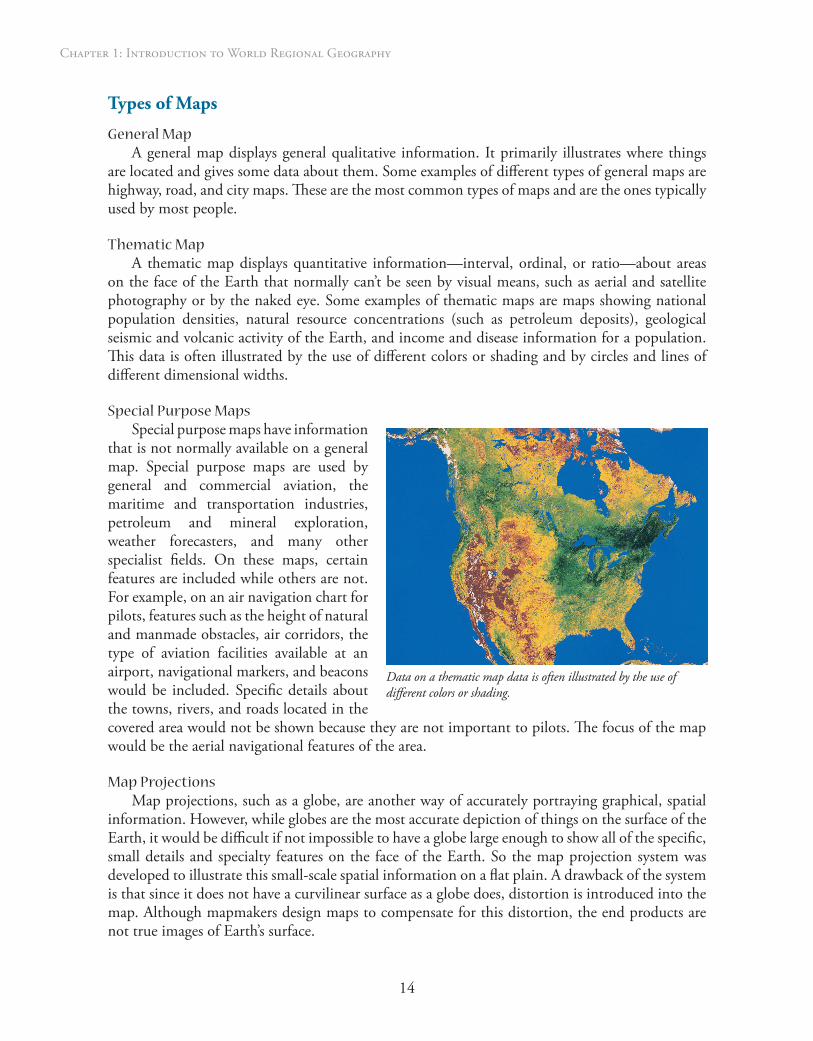
thematic MapA thematic map displays quantitative information—interval, ordinal, or ratio—about areas
on the face of the Earth that normally can’t be seen by visual means, such as aerial and satellite photography or by the naked eye. Some examples of thematic maps are maps showing national population densities, natural resource concentrations (such as petroleum deposits), geological seismic and volcanic activity of the Earth, and income and disease information for a population. This data is often illustrated by the use of different colors or shading and by circles and lines of different dimensional widths.
Special purpose MapsSpecial purpose maps have information
that is not normally available on a general map. Special purpose maps are used by general and commercial aviation, the maritime and transportation industries, petroleum and mineral exploration, weather forecasters, and many other specialist fields. On these maps, certain features are included while others are not. For example, on an air navigation chart for pilots, features such as the height of natural and manmade obstacles, air corridors, the type of aviation facilities available at an airport, navigational markers, and beacons would be included. Specific details about the towns, rivers, and roads located in the covered area would not be shown because they are not important to pilots. The focus of the map would be the aerial navigational features of the area.
Map projectionsMap projections, such as a globe, are another way of accurately portraying graphical, spatial
information. However, while globes are the most accurate depiction of things on the surface of the Earth, it would be difficult if not impossible to have a globe large enough to show all of the specific, small details and specialty features on the face of the Earth. So the map projection system was developed to illustrate this small-scale spatial information on a flat plain. A drawback of the system is that since it does not have a curvilinear surface as a globe does, distortion is introduced into the map. Although mapmakers design maps to compensate for this distortion, the end products are not true images of Earth’s surface.
Data on a thematic map data is often illustrated by the use of different colors or shading.

15
Geographic Information Systems
Geographic Information Systems (GIS) is the modern method used to produce highly accurate maps, utilizing sophisticated computer technology linked to geographic data bases to “draw” maps on computer screens instead of using the traditional pen and ink. The GIS specialty is one of the most rapidly growing sectors in geography, and most geography graduates have at least some familiarity with its uses and applications. Since the powerful mapping computer used to “draw” the maps is linked to an extensive database, the GIS cartographer can easily draw on a huge library of specific quantitative and qualitative information such as spatial, statistical, and population data which can be used to quickly produce sophisticated, custom-made maps. GIS has revolutionized how maps are produced, and how mapping programs can easily change information, data points, and illustrated features to meet any new requirements.
remote sensIng
Remote sensing uses “indirect” technical data-gathering methods such as mapping, radar, and other technological means to collect information about Earth. National space programs also use remote sensing to map other planets such as Mars, Mercury, and Jupiter. The common uses of remote sensors familiar to most people are the weather maps and color weather images on the nightly news, which are produced using Doppler weather radar.
surveys
Surveys are the formal physical means of locating, plotting, and recording specific physical features and the spatial relationships to each other. Surveys are undertaken by specialists known as surveyors who are specially trained and equipped with a variety of tools—both traditional and modern such as global positioning system (GPS) locaters—to accomplish tasks. Prior to the introduction of remote sensing and GIS, surveys and survey reports were the basis for most maps and map data.
mathematIcal models
Geographers also use virtual models based on sophisticated mathematics to illustrate quantifiable information such as spatial relationships of physical features, hydrographic models, and potential severe weather predictions. These models can also be used to illustrate and present data linked to human activities such as deforestation as well as to trends like population growth and future water usage models.
Summary
The discipline of geography includes a vast body of knowledge about both the cultural and the physical world around us. Geographers view the world in terms of regions and use methods like the five themes of geography to approach their studies. Tools of the trade can include maps, population pyramids, geographic information systems, and myriad other technologies. As a result of their knowledge of the world, geographers are suited for a wide range of occupations.
16
Chapter 1: Introduction to World Regional Geography
Geography is not just about the location places on maps. It is a vibrant and relevant academic subject in an increasingly interconnected world. No matter you do on a day-to-day basis, geography not only touches your life in some way every day, but it also plays a daily part in the lives of everyone on this planet—all 6 billion of us. Think about that every time you open this book!
Now that you are more familiar with how and why geographers do what they do, the tools and techniques that they use, the fields that they work in, and the terms that they use, let’s put that knowledge to good use and begin exploring this diverse and unique world that we live in.
Works Cited
Association of American Geographers (AAG). Example Geographic Fields. AAG, 2010. Web. 19 Sept. 2010. <http://communicate.aag.org/eseries/scriptcontent/custom/giwis/cguide/opportunity/cguide_field.cfm>.
Passel, Jeffrey, and D’Vera Cohn. “Immigration to Play Lead Role in Future U.S. Growth: U.S. Population Projections: 2005-2050.” Pew Research Center Publications, 11 Feb. 2008. Web. 19 Sept. 2010. <http://pewresearch.org/pubs/729/united-states-population-projections>.
World Health Organization (WHO). Frequently Asked Questions. WHO, 2010. Web. 19 Sept. 2010. <http://www.who.int/suggestions/faq/en/>.