Embed Size (px)
Citation preview

Raúl A. Martínez Díaz AIM – RO ICAO NACC
Doc 10066 – PANS AIM Contents
Mexico City, 3 to 5 September 2019 03/09/2019 1
Doc 10066 - PANS AIM
1. Definitions
2. Aeronautical Information Management Information management requirements Surveillance and assurance of data integrity
3. Quality Management Quality management system
4. Aeronautical data requirements Data initiation requirements Metadata requirements
5. Aeronautical information products and services Generalities Aeronautical information in standardized presentation Digital data Distribution services Pre-flight information service
6. Aeronautical information updates
Updates of aeronautical information products
CHAPTERS
03/09/2019 2
Appendices 1. Aeronautical data catalog
2. Content of aeronautical information publications
(AIP)
3. NOTAM format
4. SNOWTAM format
5. ASHTAM format
6. Requirements for the provision of attributes of Terrain data and obstacles
7. Default distribution system for NOTAMs
8. Requirements for Terrain and obstacles data
PANS AIM Doc 10066
03/09/2019 3
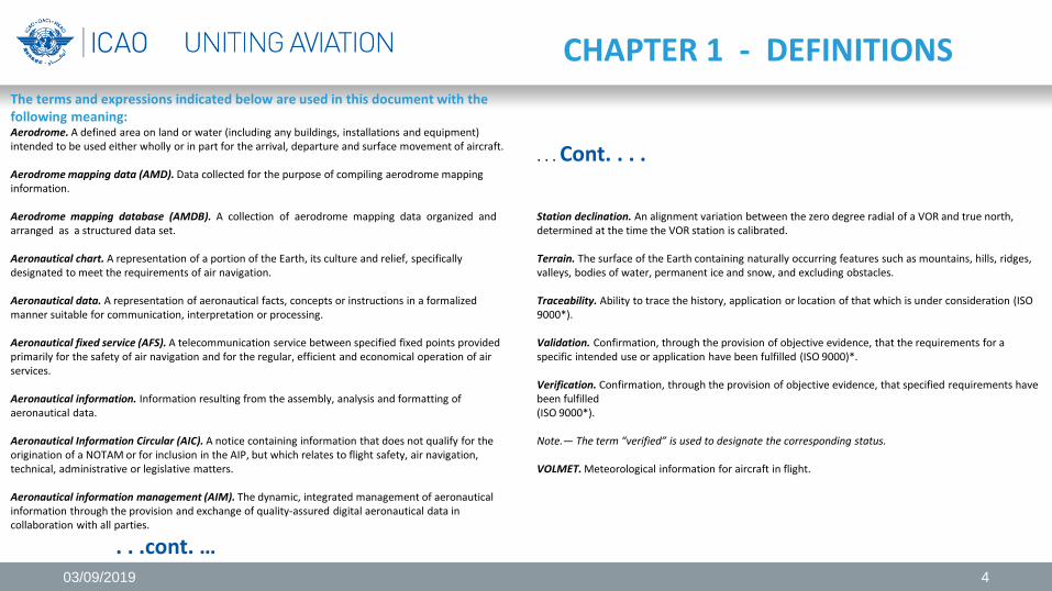
CHAPTER 1 - DEFINITIONS The terms and expressions indicated below are used in this document with the following meaning: Aerodrome. A defined area on land or water (including any buildings, installations and equipment) intended to be used either wholly or in part for the arrival, departure and surface movement of aircraft. Aerodrome mapping data (AMD). Data collected for the purpose of compiling aerodrome mapping information. Aerodrome mapping database (AMDB). A collection of aerodrome mapping data organized and arranged as a structured data set. Aeronautical chart. A representation of a portion of the Earth, its culture and relief, specifically designated to meet the requirements of air navigation. Aeronautical data. A representation of aeronautical facts, concepts or instructions in a formalized manner suitable for communication, interpretation or processing. Aeronautical fixed service (AFS). A telecommunication service between specified fixed points provided primarily for the safety of air navigation and for the regular, efficient and economical operation of air services. Aeronautical information. Information resulting from the assembly, analysis and formatting of aeronautical data. Aeronautical Information Circular (AIC). A notice containing information that does not qualify for the origination of a NOTAM or for inclusion in the AIP, but which relates to flight safety, air navigation, technical, administrative or legislative matters. Aeronautical information management (AIM). The dynamic, integrated management of aeronautical information through the provision and exchange of quality-assured digital aeronautical data in collaboration with all parties.
. . .cont. …
. . . Cont. . . . Station declination. An alignment variation between the zero degree radial of a VOR and true north, determined at the time the VOR station is calibrated. Terrain. The surface of the Earth containing naturally occurring features such as mountains, hills, ridges, valleys, bodies of water, permanent ice and snow, and excluding obstacles. Traceability. Ability to trace the history, application or location of that which is under consideration (ISO 9000*). Validation. Confirmation, through the provision of objective evidence, that the requirements for a specific intended use or application have been fulfilled (ISO 9000)*. Verification. Confirmation, through the provision of objective evidence, that specified requirements have been fulfilled (ISO 9000*). Note.— The term “verified” is used to designate the corresponding status. VOLMET. Meteorological information for aircraft in flight.
03/09/2019 4
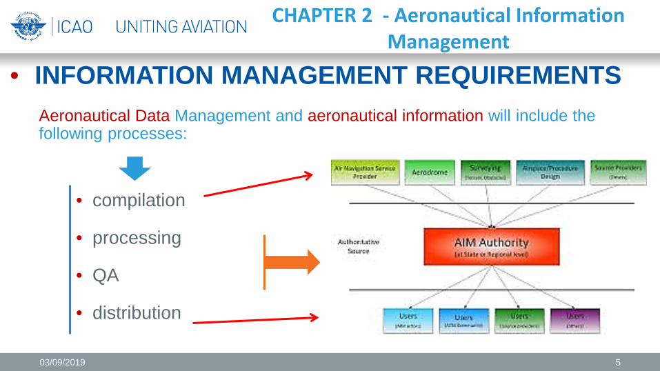
• INFORMATION MANAGEMENT REQUIREMENTS
Aeronautical Data Management and aeronautical information will include the following processes:
• compilation
• processing
• QA
• distribution
CHAPTER 2 - Aeronautical Information Management
03/09/2019 5
Compilation • The identification of the data initiators will be documented
based on the scope of the aeronautical data and the aeronautical information to be collected
• A record of the data initiators should be maintained.
Note.- The information that must be recorded for each initiator is specified in the metadata requirements of Chapter 4 • Each data element that should be collected should be
assigned to an identified data initiator, - formal agreements between the data initiators and the AIS
• The list of aeronautical information issues and their properties should be used to establish formal agreements between the initiators and the AIS - Appendix 1
• Formal agreements between the initiators and the AIS, valid codes should be defined for the code lists of the properties and sub-properties of the aeronautical data - Appendix 1
• Appendix 1 shall be considered as a reference for the requirements for initiation and publication of aeronautical data and aeronautical information
CHAPTER 2 - Aeronautical Information Management
Note 1.- Appendix 1 describes the scope of the data and information that the AIS can collect and maintain.
Note 2.- Appendix 1 describes a common language that data initiators and AIS can use
03/09/2019 6
Processing • The data collected will be verified and validated
with compliance with data quality requirements
• Automation systems for aeronautical data processing and aeronautical information should guarantee the traceability of the actions carried out
Note 1.— Appendix 1 - aeronautical data attributes and quality requirements accuracy, resolution and integrity Note 2. — Guidance of aeronautical data quality requirements for accuracy, resolution, integrity, traceability and protection are in the WGS-84 Manual (Doc 9674). Note 3.— Data quality texts regarding data accuracy, publication resolution and integrity of aeronautical data, and the convention for rounding up data in Doc. DO-201A of RTCA and in Doc. ED-77 of EUROCAE Standards for Aeronautical Information Note 4. — AIM Manual - QMS - Doc 9839 there are guidance texts on the quality management of aeronautical data
Note 5.— Verification activities may include : a) comparison processes in which data and information are compared
with an independent source b) feedback processes in which data and information are compared
between their input status and their output status c) processing by multiple independent and different systems,
comparing the result of each; this includes performing alternative calculations
d) processes in which data and information are compared with the initiator's request.
Note 6.— Validation activities may include: a) application processes for testing data and information; b) processes to compare data and information between 2 different results c) processes to compare data and information with expected interval or other operating rules
CHAPTER 2 - Aeronautical Information Management
03/09/2019 7
Quality Control
• Implement quality checks to ensure
compliance with the product specifications contained in Chapter 5
• If there are equal or duplicate data in different aeronautical information products, verify consistency
Note.— Failures that cause errors throughout the process are mitigated with data quality assurance techniques Tests are made for critical data (flight verification); use of security, logic, semantic, comparison and redundancy checks; Detection of digital errors and the qualification of human resources and processing tools, such as physical and logical media.
CHAPTER 2 - Aeronautical Information Management
03/09/2019 8
Distribution In preparation
CHAPTER 2 - Aeronautical Information Management
03/09/2019 9
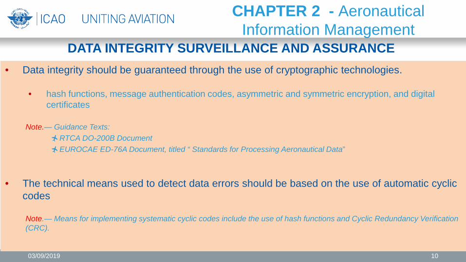
DATA INTEGRITY SURVEILLANCE AND ASSURANCE • Data integrity should be guaranteed through the use of cryptographic technologies.
• hash functions, message authentication codes, asymmetric and symmetric encryption, and digital certificates
Note.— Guidance Texts:
RTCA DO-200B Document EUROCAE ED-76A Document, titled “ Standards for Processing Aeronautical Data”
• The technical means used to detect data errors should be based on the use of automatic cyclic codes
Note.— Means for implementing systematic cyclic codes include the use of hash functions and Cyclic Redundancy Verification (CRC).
CHAPTER 2 - Aeronautical Information Management
03/09/2019 10
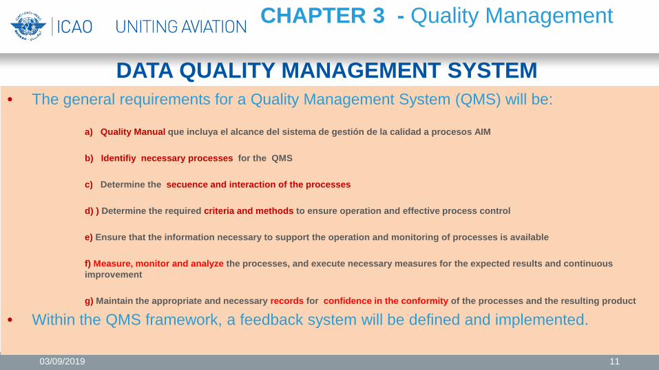
DATA QUALITY MANAGEMENT SYSTEM • The general requirements for a Quality Management System (QMS) will be:
a) Quality Manual que incluya el alcance del sistema de gestión de la calidad a procesos AIM b) Identifiy necessary processes for the QMS c) Determine the secuence and interaction of the processes d) ) Determine the required criteria and methods to ensure operation and effective process control e) Ensure that the information necessary to support the operation and monitoring of processes is available f) Measure, monitor and analyze the processes, and execute necessary measures for the expected results and continuous improvement g) Maintain the appropriate and necessary records for confidence in the conformity of the processes and the resulting product
• Within the QMS framework, a feedback system will be defined and implemented.
CHAPTER 3 - Quality Management
03/09/2019 11
DATA QUALITY MANAGEMENT SYSTEM
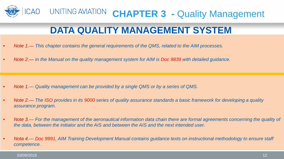
• Note 1.— This chapter contains the general requirements of the QMS, related to the AIM processes.
• Note 2.— In the Manual on the quality management system for AIM is Doc 9839 with detailed guidance.
• Note 1.— Quality management can be provided by a single QMS or by a series of QMS.
• Note 2.— The ISO provides in its 9000 series of quality assurance standards a basic framework for developing a quality assurance program.
• Note 3.— For the management of the aeronautical information data chain there are formal agreements concerning the quality of the data, between the initiator and the AIS and between the AIS and the next intended user.
• Nota 4.— Doc 9991, AIM Training Development Manual contains guidance texts on instructional methodology to ensure staff competence.
CHAPTER 3 - Quality Management
03/09/2019 12
REQUISITOS DE INICIACIÓN DE LOS DATOS
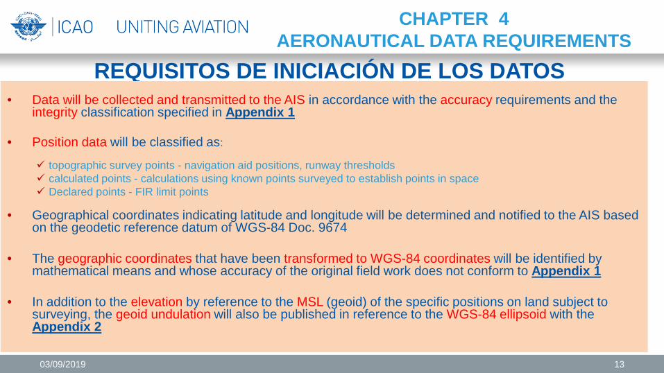
• Data will be collected and transmitted to the AIS in accordance with the accuracy requirements and the integrity classification specified in Appendix 1
• Position data will be classified as:
topographic survey points - navigation aid positions, runway thresholds calculated points - calculations using known points surveyed to establish points in space Declared points - FIR limit points
• Geographical coordinates indicating latitude and longitude will be determined and notified to the AIS based on the geodetic reference datum of WGS-84 Doc. 9674
• The geographic coordinates that have been transformed to WGS-84 coordinates will be identified by
mathematical means and whose accuracy of the original field work does not conform to Appendix 1
• In addition to the elevation by reference to the MSL (geoid) of the specific positions on land subject to surveying, the geoid undulation will also be published in reference to the WGS-84 ellipsoid with the Appendix 2
CHAPTER 4 AERONAUTICAL DATA REQUIREMENTS
03/09/2019 13
METADATA REQUIREMENTS
• The metadata that must be collected will comprise at least:
1. the names of organizations or entities that perform any act of initiation, transmission or manipulation of data
2. Action performed
3. date and time it was made
Nota.— ISO 19115 specifies the metadata requirements for geographic information
CHAPTER 4 AERONAUTICAL DATA REQUIREMENTS
03/09/2019 14
• Aeronautical Data are provided with the resolution requirements of the Appendix 1
• Geographical coordinates not complying with accuracy requirements included in Appendix 1
• Geographical coordinates not complying accuracy requirements can be made by explicitly writing down or providing the actual accuracy value
• Indicate clearly issuing State and authority publishing the AIP
• If no facilities or services are provided or there is no information available to publish regarding one of the information categories of the Appendix 2 indicate the circumstances to which it applies- “NIL” or “no AVBL”
• AIP includes concise and current information related to the topics of Appendix 2
• Facilitates to locate the information under a specific title and the storage and withdrawal of the information through automated processing.
CHAPTER 5 AERONAUTICAL INFORMATION PRODUCTS AND SERVICES
Generalities and Publication of Aeronautical Information (AIP) AERONAUTICAL INFORMATION IN STANDARDIZED PRESENTATION
03/09/2019 15
AERONAUTICAL INFORMATION IN STANDARDIZED PRESENTATION
• Aeronautical Information Circulars (AIC)
• Printed products
• Electronic AIP (eAIP)
• NOTAM
CHAPTER 5 AERONAUTICAL INFORMATION PRODUCTS AND SERVICES
Publication of Aeronautical Information (AIP)
03/09/2019 16
DIGITAL DATA
• Facilitate and support the exchange of digital data sets between data providers and users
• Reference framework ISO 19100 series of standards
for geographic information Note.— Doc. 8126 (Vol. I to Vol. IV) contains guidance texts on the use of the ISO 19100 series of standards
CHAPTER 5 AERONAUTICAL INFORMATION PRODUCTS AND SERVICES
General Provisions • Description of the digital data sets of data product specifications, for air navigation users to evaluate the products and determine if they meet the requirements for the intended use (application)
Note.— ISO 19131 standard describes product specifications for geographic data. . .
• Content and structure of digital data sets are defined
according to application scheme and attribute catalog
Note.— ISO 19109 standard for application schemes, and ISO 19110 standard the method of cataloging geographic information attributes
03/09/2019 17
DIGITAL DATA
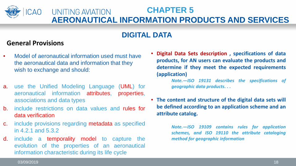
• Model of aeronautical information used must have the aeronautical data and information that they wish to exchange and should:
a. use the Unified Modeling Language (UML) for
aeronautical information attributes, properties, associations and data types
b. include restrictions on data values and rules for data verification
c. include provisions regarding metadata as specified in 4.2.1 and 5.3.2
d. include a temporality model to capture the evolution of the properties of an aeronautical information characteristic during its life cycle
CHAPTER 5 AERONAUTICAL INFORMATION PRODUCTS AND SERVICES
General Provisions • Digital Data Sets description , specifications of data
products, for AN users can evaluate the products and determine if they meet the expected requirements (application)
Note.—ISO 19131 describes the specifications of geographic data products. . .
• The content and structure of the digital data sets will
be defined according to an application scheme and an attribute catalog.
Note.—ISO 19109 contains rules for application schemes, and ISO 19110 the attribute cataloging method for geographic information
03/09/2019 18
DIGITAL DATA
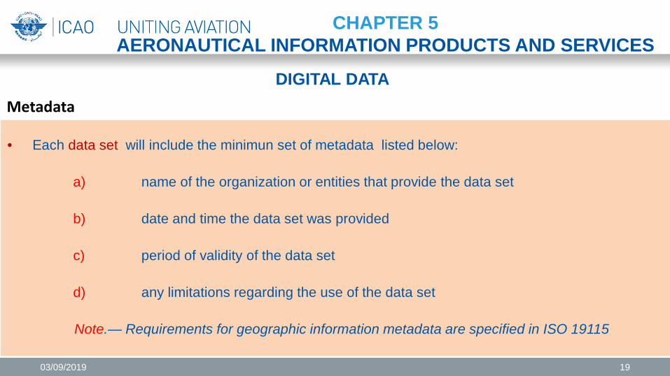
• Each data set will include the minimun set of metadata listed below:
a) name of the organization or entities that provide the data set b) date and time the data set was provided c) period of validity of the data set d) any limitations regarding the use of the data set
Note.— Requirements for geographic information metadata are specified in ISO 19115
CHAPTER 5 AERONAUTICAL INFORMATION PRODUCTS AND SERVICES
Metadata
03/09/2019 19
DIGITAL DATA
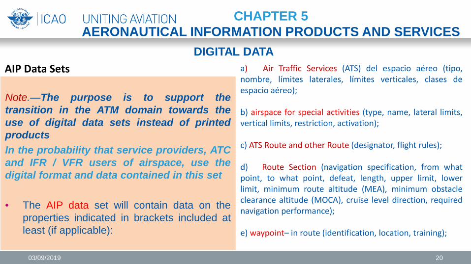
Note.—The purpose is to support the transition in the ATM domain towards the use of digital data sets instead of printed products In the probability that service providers, ATC and IFR / VFR users of airspace, use the digital format and data contained in this set • The AIP data set will contain data on the
properties indicated in brackets included at least (if applicable):
CHAPTER 5 AERONAUTICAL INFORMATION PRODUCTS AND SERVICES
AIP Data Sets a) Air Traffic Services (ATS) del espacio aéreo (tipo,
nombre, límites laterales, límites verticales, clases de espacio aéreo); b) airspace for special activities (type, name, lateral limits, vertical limits, restriction, activation); c) ATS Route and other Route (designator, flight rules); d) Route Section (navigation specification, from what point, to what point, defeat, length, upper limit, lower limit, minimum route altitude (MEA), minimum obstacle clearance altitude (MOCA), cruise level direction, required navigation performance); e) waypoint– in route (identification, location, training);
03/09/2019 20
DIGITAL DATA
CHAPTER 5 AERONAUTICAL INFORMATION PRODUCTS AND SERVICES
AIP Data Sets
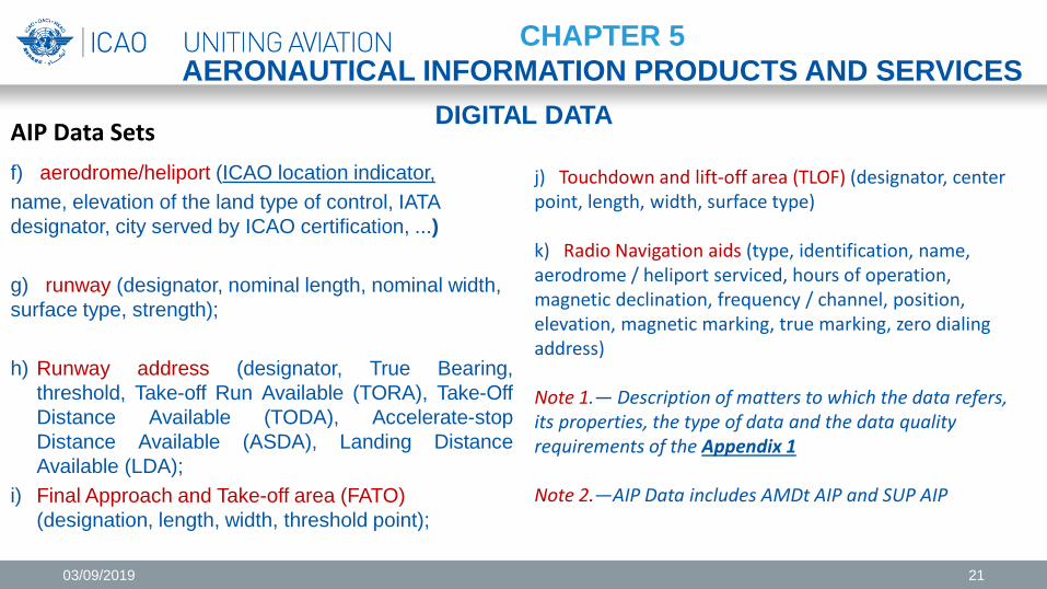
j) Touchdown and lift-off area (TLOF) (designator, center point, length, width, surface type)
k) Radio Navigation aids (type, identification, name, aerodrome / heliport serviced, hours of operation, magnetic declination, frequency / channel, position, elevation, magnetic marking, true marking, zero dialing address) Note 1.— Description of matters to which the data refers, its properties, the type of data and the data quality requirements of the Appendix 1 Note 2.—AIP Data includes AMDt AIP and SUP AIP
f) aerodrome/heliport (ICAO location indicator, name, elevation of the land type of control, IATA designator, city served by ICAO certification, ...) g) runway (designator, nominal length, nominal width, surface type, strength);
h) Runway address (designator, True Bearing,
threshold, Take-off Run Available (TORA), Take-Off Distance Available (TODA), Accelerate-stop Distance Available (ASDA), Landing Distance Available (LDA);
i) Final Approach and Take-off area (FATO) (designation, length, width, threshold point);
03/09/2019 21
DIGITAL DATA
CHAPTER 5 AERONAUTICAL INFORMATION PRODUCTS AND SERVICES
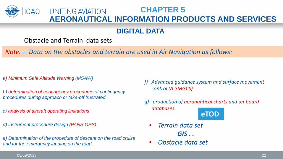
Obstacle and Terrain data sets
f) Advanced guidance system and surface movement control (A-SMGCS)
g) production of aeronautical charts and on-board databases.
a) Minimum Safe Altitude Warning (MSAW) b) determination of contingency procedures of contingency procedures during approach or take-off frustrated c) analysis of aircraft operating limitations d) instrument procedure design (PANS OPS) e) Determination of the procedure of descent on the road cruise and for the emergency landing on the road
Note.— Data on the obstacles and terrain are used in Air Navigation as follows:
• Terrain data set GIS . . • Obstacle data set
eTOD
03/09/2019 22
DIGITAL DATA
CHAPTER 5 AERONAUTICAL INFORMATION PRODUCTS AND SERVICES
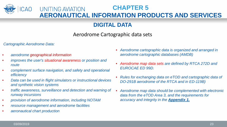
Aerodrome Cartographic data sets
• Aerodrome cartographic data is organized and arranged in aerodrome cartographic databases (AMDB)
• Aerodrome map data sets are defined by RTCA 272D and EUROCAE ED 99D.
• Rules for exchanging data on eTOD and cartographic data of DO-291B aerodrome of the RTCA and in ED-119B)
• Aerodrome map data should be complemented with electronic data from the eTOD Area 3, and the requirements for accuracy and integrity in the Appendix 1.
Cartographic Aerodrome Data: • aerodrome geographical information • improves the user's situational awareness or position and
route • complement surface navigation, and safety and operational
efficiency • Data can be used in flight simulators or instructional devices
and synthetic vision systems • traffic awareness, surveillance and detection and warning of
runway incursions • provision of aerodrome information, including NOTAM • resource management and aerodrome facilities • aeronautical chart production
03/09/2019 23
DIGITAL DATA
CHAPTER 5 AERONAUTICAL INFORMATION PRODUCTS AND SERVICES
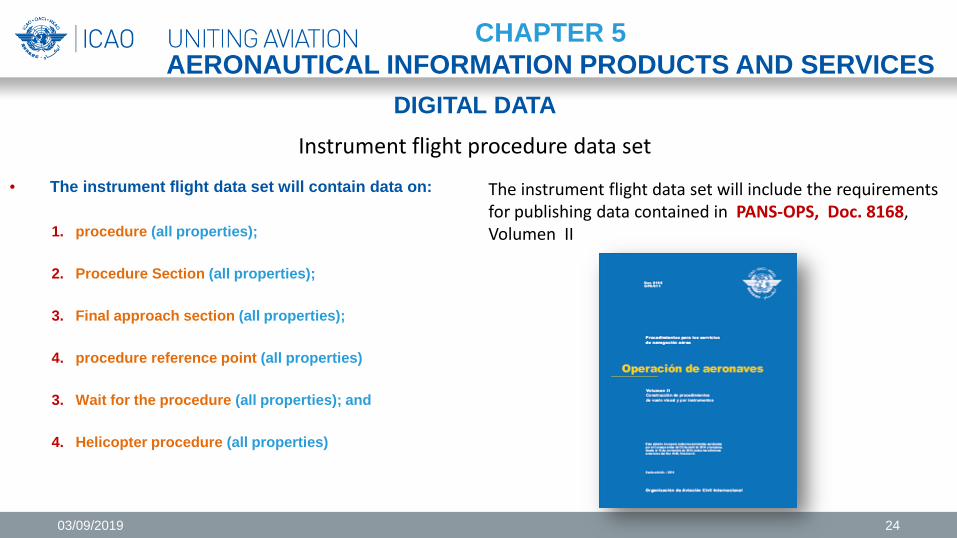
Instrument flight procedure data set
• The instrument flight data set will contain data on:
1. procedure (all properties);
2. Procedure Section (all properties); 3. Final approach section (all properties);
4. procedure reference point (all properties) 3. Wait for the procedure (all properties); and
4. Helicopter procedure (all properties)
The instrument flight data set will include the requirements for publishing data contained in PANS-OPS, Doc. 8168, Volumen II
03/09/2019 24
DISTRIBUTION SERVICES
CHAPTER 5 AERONAUTICAL INFORMATION PRODUCTS AND SERVICES
• The distribution to the next intended user will differ in terms of the delivery method applied, which may be:
a. Phisical distribution . Means of distributing aeronautical information and aeronautical data by
sending them in a physical package
b. Direct electronic distribution. Means of distributing aeronautical information and aeronautical data automatically using a direct electronic connection between the AIS and the next intended user
• The methods of sending and means of presenting the data require procedures to guarantee the
required data quality Note.— More guidance on the distribution of the digital data set in Doc 10039 - Manual on System Wide Information Management (SWIM) Concept
03/09/2019 25
NOTAM DISTRIBUTION
CHAPTER 5 AERONAUTICAL INFORMATION PRODUCTS AND SERVICES
• AIS will make arrangements to meet operational requirements for dispatch and receipt NOTAM, SNOWTAM, ASHTAM in international exchange
• NOTAM exchange between international NOTAM offices and multinational NOTAM processing units will cover the needs of operations personnel and flight crew.
• Subject to the requirements, a predetermined distribution system will be used for NOTAMs transmitted by the AFS in accordance with Annex 15 (6.3.2.3)
• The initiating State shall authorize the distribution of other NOTAM series outside those distributed internationally when requested.
03/09/2019 26
PRE-FLIGHT INFORMATION SERVICE
CHAPTER 5 AERONAUTICAL INFORMATION PRODUCTS AND SERVICES
• The geographical coverage of the pre-flight information services should be determined and examined periodically.
• The coverage area should be limited to the FIR within which the aerodrome / helipad is located
• Automated pre-flight information systems for aeronautical information and data for self-information, flight planning and flight information service consider:
a. Continuous and timely update of the system database with control of the validity and quality of stored aeronautical data b. Allow access to the system of operations personnel, including flight crew members, interested aeronautical personnel
and other aeronautical users by appropriate telecommunications means c. Use procedures for access and interrogation in abbreviated clear language and with ICAO location indicators, or
through a user interface or other mechanism agreed between the civil aviation authority and the operator d. Respond quickly to user information requests
Note.–– Abbreviations and codes, ICAO place indicators are in Doc 8400 - PANS-ABC and in Doc 7910
03/09/2019 27
AERONAUTICAL INFORMATION PRODUCTS UPDATES
CHAPTER 6 AERONAUTICAL INFORMATION UPDATES
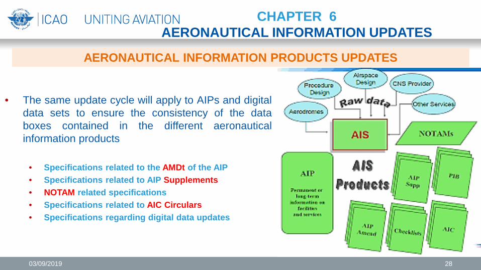
• The same update cycle will apply to AIPs and digital data sets to ensure the consistency of the data boxes contained in the different aeronautical information products
• Specifications related to the AMDt of the AIP • Specifications related to AIP Supplements • NOTAM related specifications • Specifications related to AIC Circulars • Specifications regarding digital data updates
03/09/2019 28
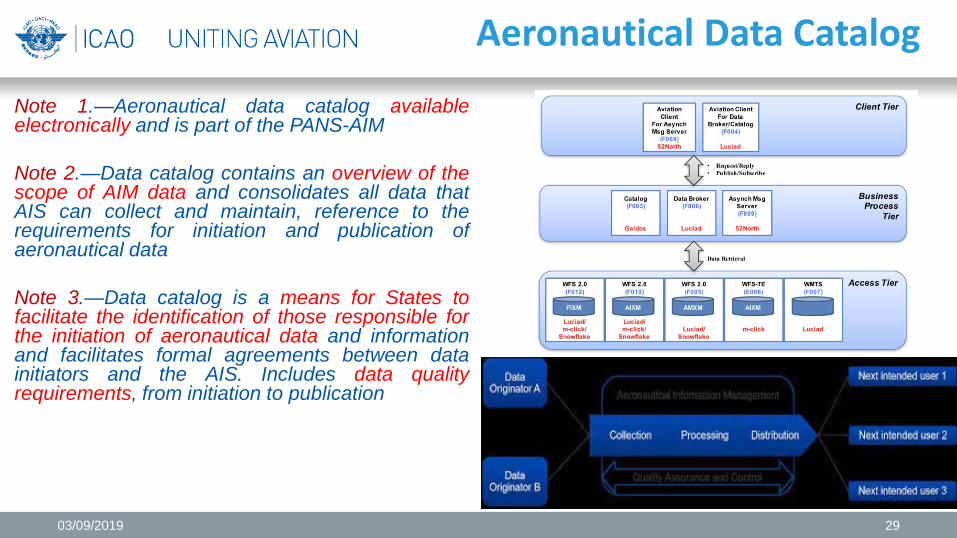
Aeronautical Data Catalog
Note 1.—Aeronautical data catalog available electronically and is part of the PANS-AIM Note 2.—Data catalog contains an overview of the scope of AIM data and consolidates all data that AIS can collect and maintain, reference to the requirements for initiation and publication of aeronautical data Note 3.—Data catalog is a means for States to facilitate the identification of those responsible for the initiation of aeronautical data and information and facilitates formal agreements between data initiators and the AIS. Includes data quality requirements, from initiation to publication
03/09/2019 29
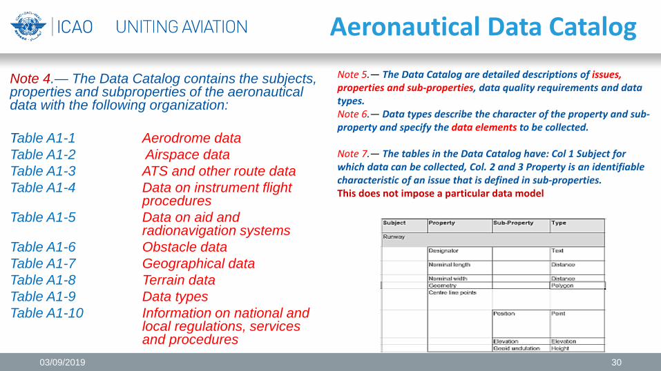
Aeronautical Data Catalog
Note 4.— The Data Catalog contains the subjects, properties and subproperties of the aeronautical data with the following organization: Table A1-1 Aerodrome data Table A1-2 Airspace data Table A1-3 ATS and other route data Table A1-4 Data on instrument flight procedures Table A1-5 Data on aid and radionavigation systems Table A1-6 Obstacle data Table A1-7 Geographical data Table A1-8 Terrain data Table A1-9 Data types Table A1-10 Information on national and local regulations, services and procedures
Note 5.— The Data Catalog are detailed descriptions of issues, properties and sub-properties, data quality requirements and data types. Note 6.— Data types describe the character of the property and sub-property and specify the data elements to be collected. Note 7.— The tables in the Data Catalog have: Col 1 Subject for which data can be collected, Col. 2 and 3 Property is an identifiable characteristic of an issue that is defined in sub-properties. This does not impose a particular data model
03/09/2019 30
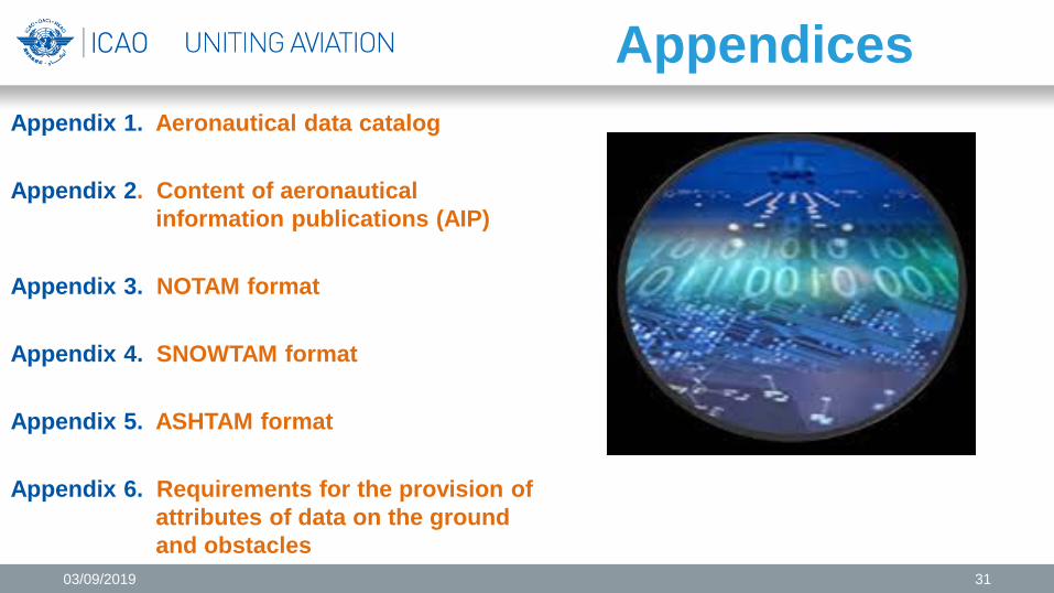
Appendices Appendix 1. Aeronautical data catalog Appendix 2. Content of aeronautical information publications (AIP) Appendix 3. NOTAM format Appendix 4. SNOWTAM format Appendix 5. ASHTAM format Appendix 6. Requirements for the provision of attributes of data on the ground and obstacles
03/09/2019 31
GRACIAS
03/09/2019 32