Embed Size (px)
Citation preview
Enterprise GIS in Transportation
Durmus Cesur, Ph. D., PMP, PE, GISP, ITIL-F, …DCHC MPO
Application Support Manager Email: [email protected]
Tel: (919) 560-4366- ext. 36461Felix Nwoko, Ph.D.
MPO DirectorEmail: [email protected]
Outline Enterprise GIS in Transportation
Enterprise GIS Implementation – Present
Case studies
Commuter Flow Summaries
Traffic Data Management
Enterprise GIS Implementation – Future
Conclusions
GIS in Transportation - Concept
• Implement enterprise GIS to support transportation planning,
modeling, and operational activities
• Integrate with other systems to streamline workflows and
business processes in transportation modeling, planning, and
operations
• Provide real-time data integration and decision making
capabilities
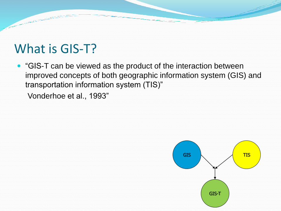
What is GIS-T? “GIS-T can be viewed as the product of the interaction between
improved concepts of both geographic information system (GIS) and
transportation information system (TIS)”
Vonderhoe et al., 1993”
GIS TIS
GIS-T
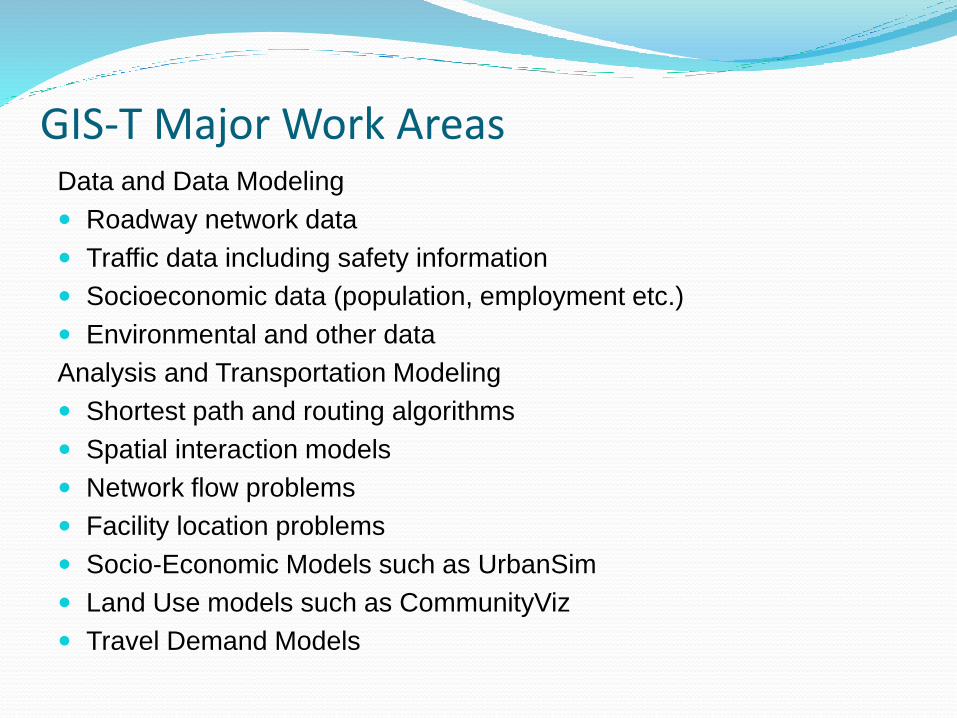
GIS-T Major Work AreasData and Data Modeling
Roadway network data
Traffic data including safety information
Socioeconomic data (population, employment etc.)
Environmental and other data
Analysis and Transportation Modeling
Shortest path and routing algorithms
Spatial interaction models
Network flow problems
Facility location problems
Socio-Economic Models such as UrbanSim
Land Use models such as CommunityViz
Travel Demand Models
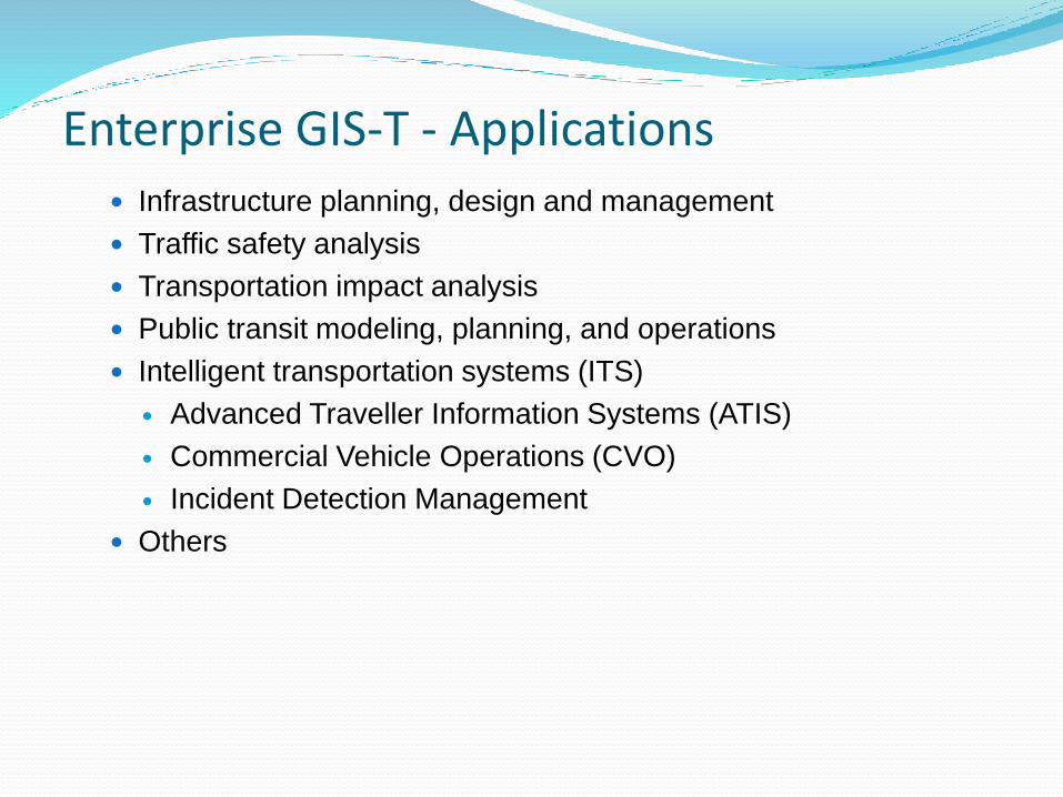
Enterprise GIS-T - Applications Infrastructure planning, design and management
Traffic safety analysis
Transportation impact analysis
Public transit modeling, planning, and operations
Intelligent transportation systems (ITS)
Advanced Traveller Information Systems (ATIS)
Commercial Vehicle Operations (CVO)
Incident Detection Management
Others
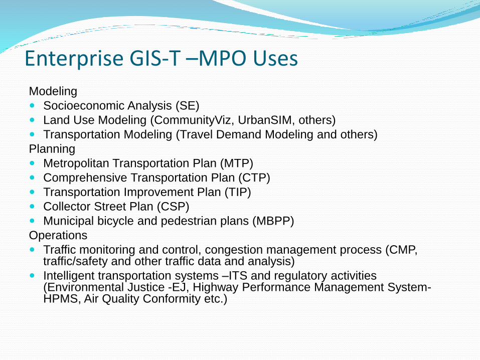
Enterprise GIS-T –MPO UsesModeling
Socioeconomic Analysis (SE)
Land Use Modeling (CommunityViz, UrbanSIM, others)
Transportation Modeling (Travel Demand Modeling and others)
Planning
Metropolitan Transportation Plan (MTP)
Comprehensive Transportation Plan (CTP)
Transportation Improvement Plan (TIP)
Collector Street Plan (CSP)
Municipal bicycle and pedestrian plans (MBPP)
Operations
Traffic monitoring and control, congestion management process (CMP, traffic/safety and other traffic data and analysis)
Intelligent transportation systems –ITS and regulatory activities (Environmental Justice -EJ, Highway Performance Management System-HPMS, Air Quality Conformity etc.)
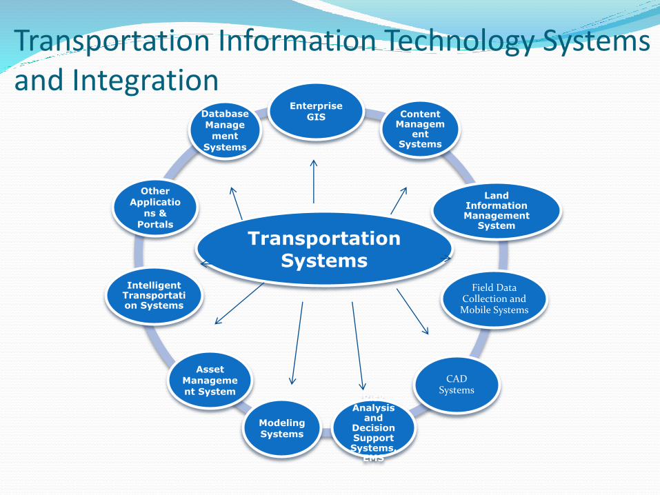
Transportation Information Technology Systems and Integration
Transportation Systems
Enterprise
GIS Content Managem
ent Systems
Land Information Management
System
Field Data Collection and Mobile Systems
CAD Systems
Risk Analysis
and Decision Support Systems,
EMS
Modeling
Systems
Asset
Manageme
nt System
Intelligent Transportation Systems
Other
Applicatio
ns &
Portals
Database
Manage
ment
Systems
MPO Implementations
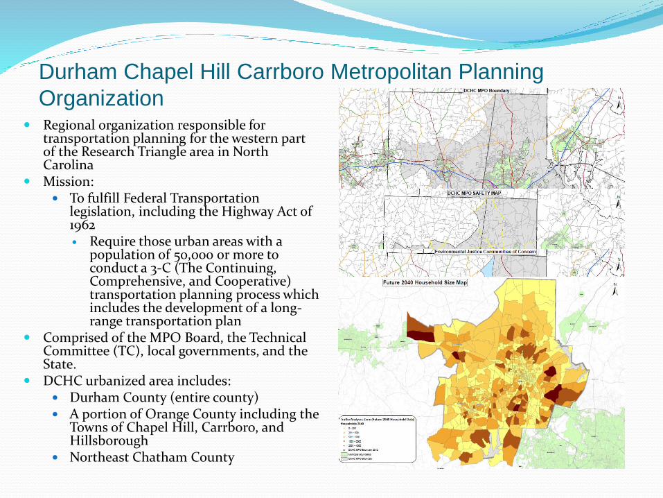
Durham Chapel Hill Carrboro Metropolitan Planning
Organization Regional organization responsible for
transportation planning for the western part of the Research Triangle area in North Carolina
Mission: To fulfill Federal Transportation
legislation, including the Highway Act of 1962 Require those urban areas with a
population of 50,000 or more to conduct a 3-C (The Continuing, Comprehensive, and Cooperative) transportation planning process which includes the development of a long-range transportation plan
Comprised of the MPO Board, the Technical Committee (TC), local governments, and the State.
DCHC urbanized area includes: Durham County (entire county) A portion of Orange County including the
Towns of Chapel Hill, Carrboro, and Hillsborough
Northeast Chatham County
Enterprise GIS
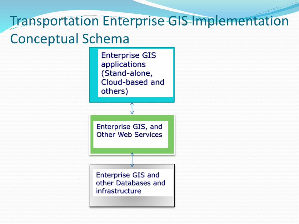
Transportation Enterprise GIS Implementation Conceptual Schema
Enterprise GIS applications (Stand-alone, Cloud-based and others)
Enterprise GIS, and Other Web Services
Enterprise GIS and other Databases and infrastructure
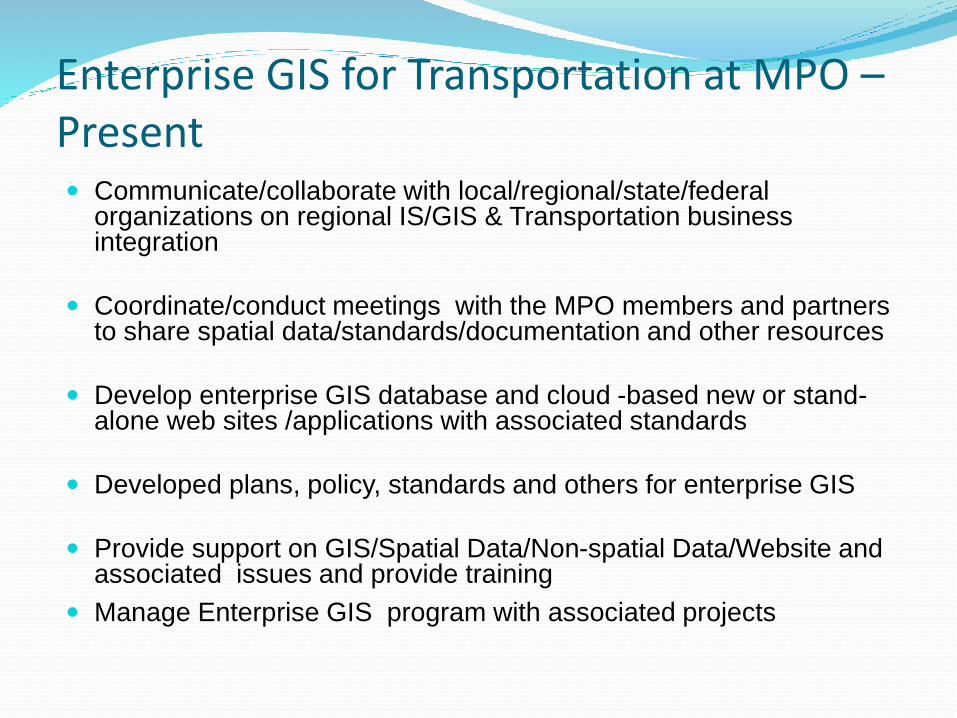
Enterprise GIS for Transportation at MPO –Present Communicate/collaborate with local/regional/state/federal
organizations on regional IS/GIS & Transportation business integration
Coordinate/conduct meetings with the MPO members and partners to share spatial data/standards/documentation and other resources
Develop enterprise GIS database and cloud -based new or stand-alone web sites /applications with associated standards
Developed plans, policy, standards and others for enterprise GIS
Provide support on GIS/Spatial Data/Non-spatial Data/Website and associated issues and provide training
Manage Enterprise GIS program with associated projects
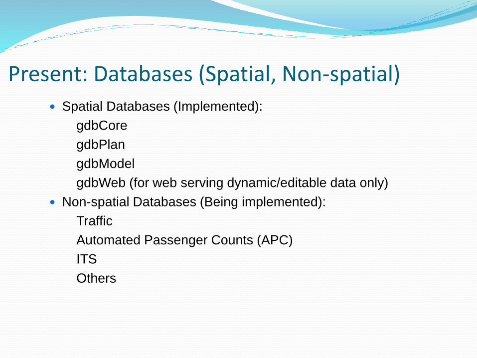
Present: Databases (Spatial, Non-spatial) Spatial Databases (Implemented):
gdbCore
gdbPlan
gdbModel
gdbWeb (for web serving dynamic/editable data only)
Non-spatial Databases (Being implemented):
Traffic
Automated Passenger Counts (APC)
ITS
Others

Enterprise GIS Database Sample Schema
Core
Model
(CommunityViz, TRM, UrbanSIM…)
Web
(Any data layers that goes to web especially
editable/extensively modified ones)
Plan
(MTP, CTP, MBPP, TIP, CSP, CMP,
EmploymentAnalyst)
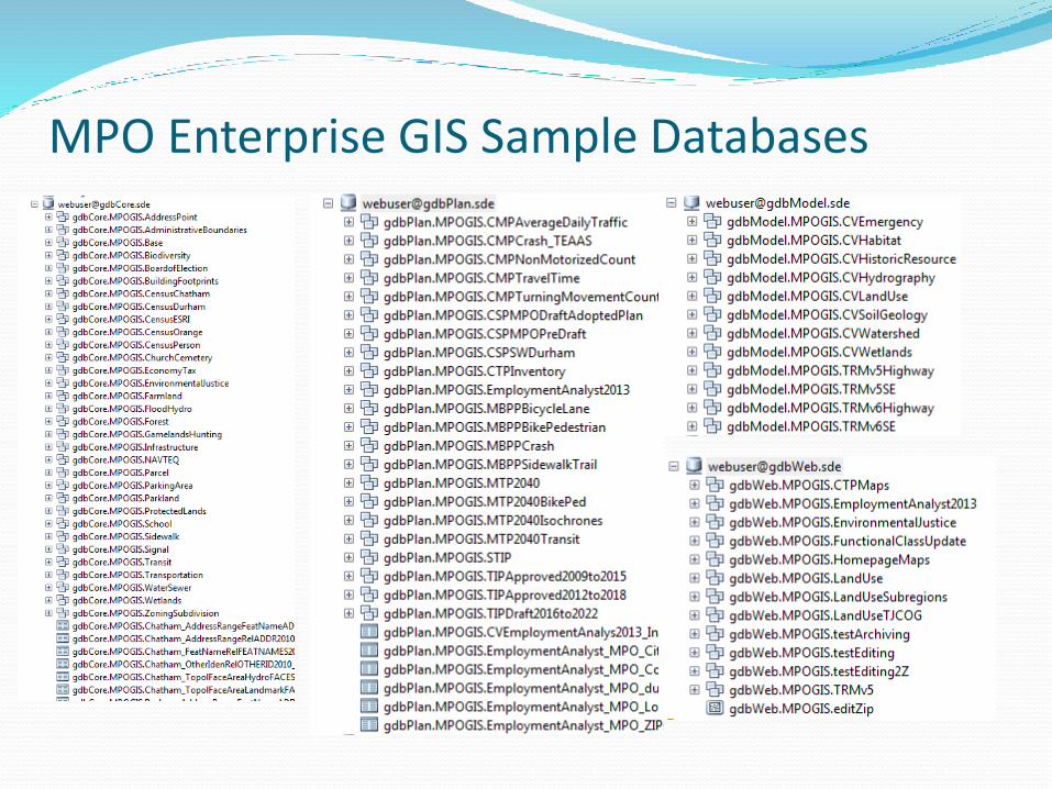
MPO Enterprise GIS Sample Databases
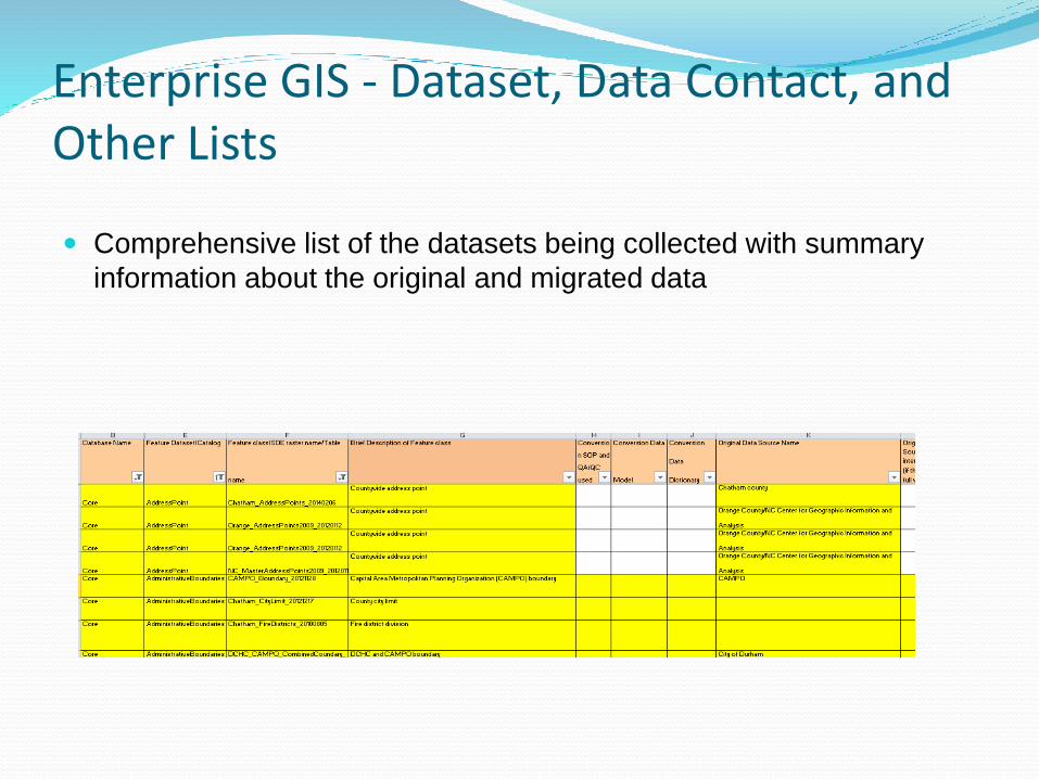
Enterprise GIS - Dataset, Data Contact, and Other Lists
Comprehensive list of the datasets being collected with summary
information about the original and migrated data
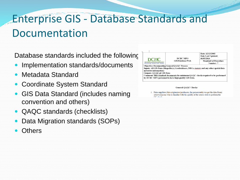
Enterprise GIS - Database Standards and Documentation
Database standards included the following:
Implementation standards/documents
Metadata Standard
Coordinate System Standard
GIS Data Standard (includes naming
convention and others)
QAQC standards (checklists)
Data Migration standards (SOPs)
Others
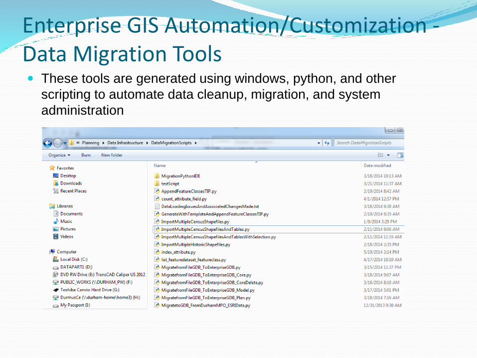
Enterprise GIS Automation/Customization -Data Migration Tools These tools are generated using windows, python, and other
scripting to automate data cleanup, migration, and system
administration
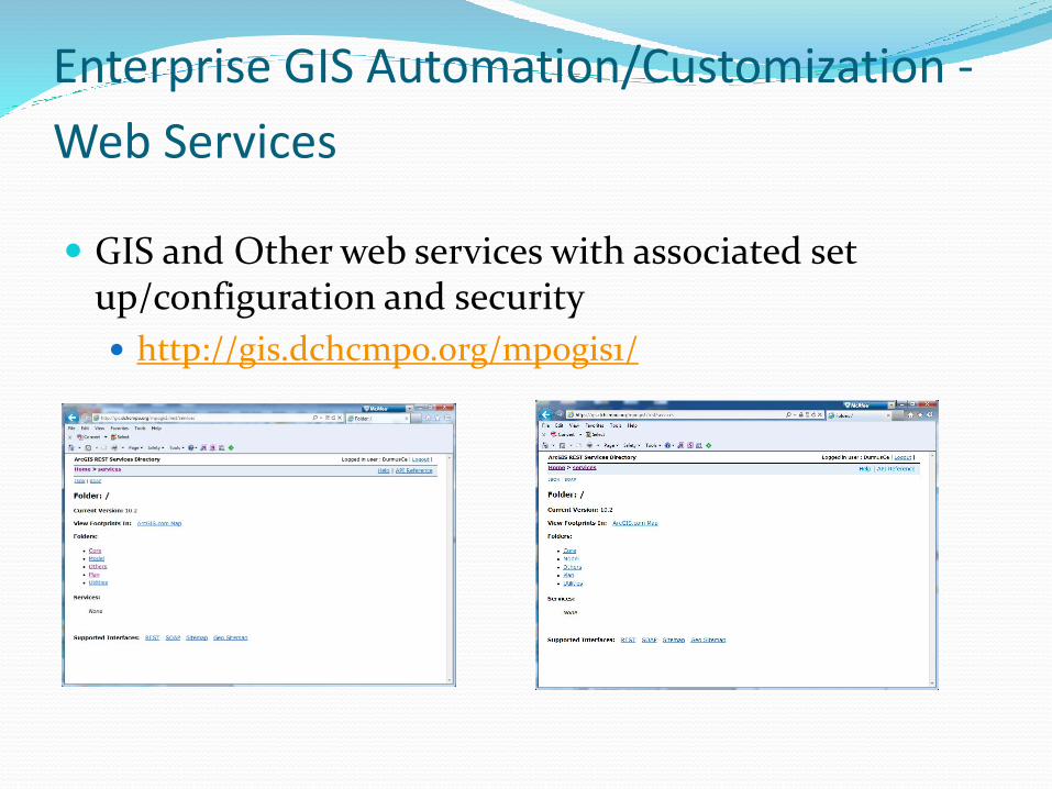
Enterprise GIS Automation/Customization -
Web Services
GIS and Other web services with associated set up/configuration and security
http://gis.dchcmpo.org/mpogis1/
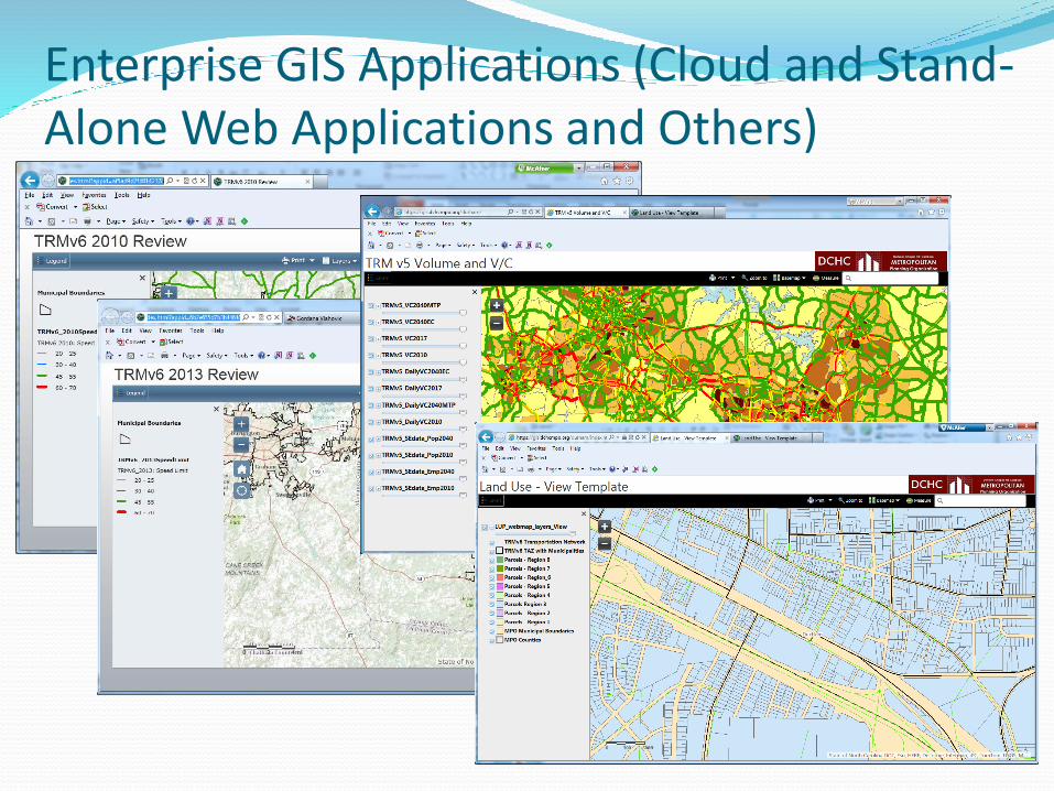
Enterprise GIS Applications (Cloud and Stand-Alone Web Applications and Others)
Case Study : Commuter Information Analysis/Management using Census/ACS Data
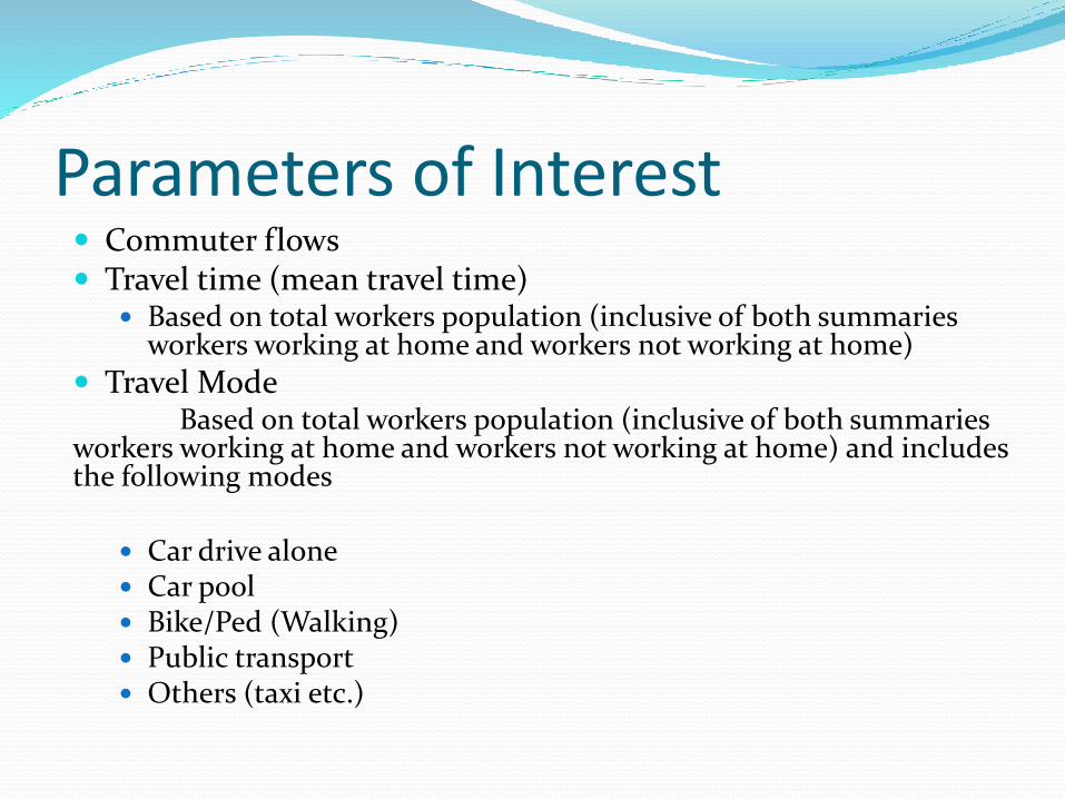
Parameters of Interest Commuter flows Travel time (mean travel time)
Based on total workers population (inclusive of both summaries workers working at home and workers not working at home)
Travel ModeBased on total workers population (inclusive of both summaries
workers working at home and workers not working at home) and includes the following modes
Car drive alone Car pool Bike/Ped (Walking) Public transport Others (taxi etc.)
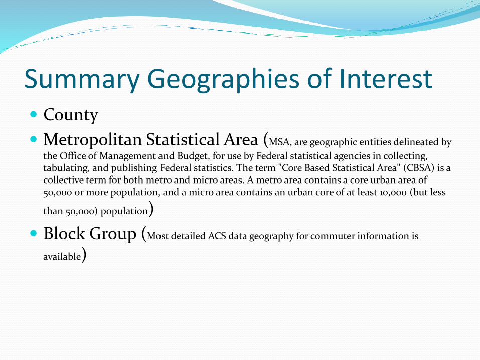
Summary Geographies of Interest County
Metropolitan Statistical Area (MSA, are geographic entities delineated by
the Office of Management and Budget, for use by Federal statistical agencies in collecting, tabulating, and publishing Federal statistics. The term "Core Based Statistical Area" (CBSA) is a collective term for both metro and micro areas. A metro area contains a core urban area of 50,000 or more population, and a micro area contains an urban core of at least 10,000 (but less
than 50,000) population)
Block Group (Most detailed ACS data geography for commuter information is
available)
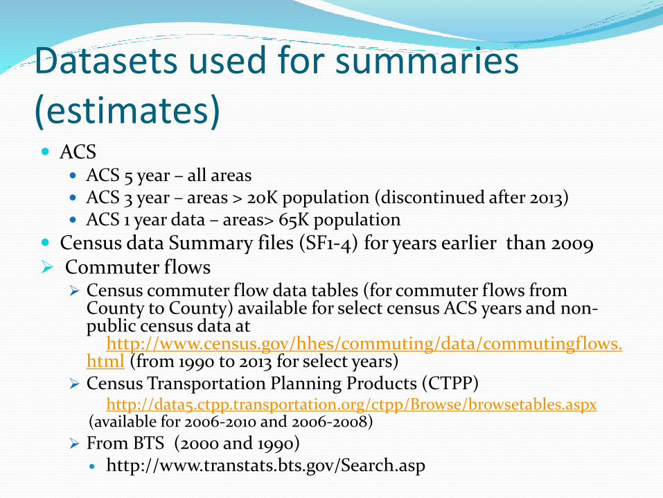
Datasets used for summaries (estimates) ACS
ACS 5 year – all areas ACS 3 year – areas > 20K population (discontinued after 2013) ACS 1 year data – areas> 65K population
Census data Summary files (SF1-4) for years earlier than 2009 Commuter flows
Census commuter flow data tables (for commuter flows from County to County) available for select census ACS years and non-public census data at
http://www.census.gov/hhes/commuting/data/commutingflows.html (from 1990 to 2013 for select years)
Census Transportation Planning Products (CTPP)http://data5.ctpp.transportation.org/ctpp/Browse/browsetables.aspx
(available for 2006-2010 and 2006-2008)
From BTS (2000 and 1990) http://www.transtats.bts.gov/Search.asp

Analysis Outcomes
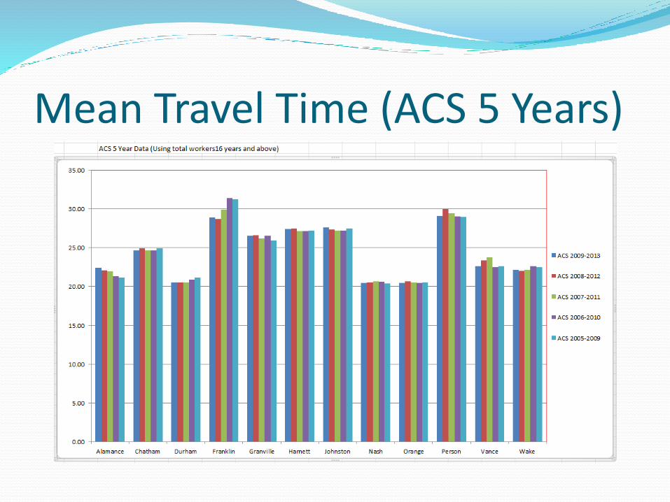
Mean Travel Time (ACS 5 Years)
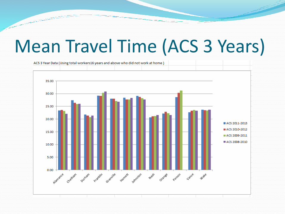
Mean Travel Time (ACS 3 Years)

Travel Mode using ACS 5 Year –Chatham County
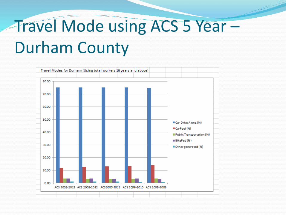
Travel Mode using ACS 5 Year –Durham County
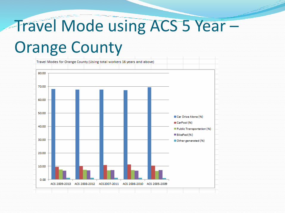
Travel Mode using ACS 5 Year –Orange County
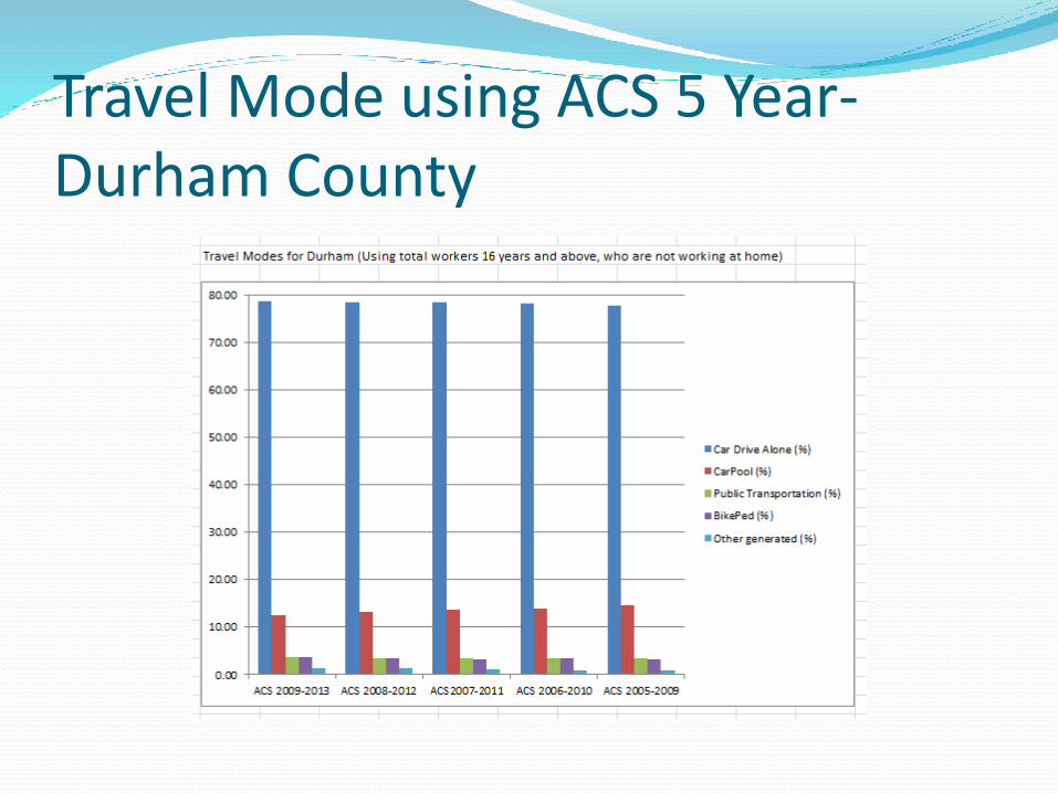
Travel Mode using ACS 5 Year-Durham County
Process Automation Excel Functions and Scripting
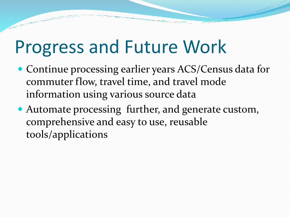
Progress and Future Work Continue processing earlier years ACS/Census data for
commuter flow, travel time, and travel mode information using various source data
Automate processing further, and generate custom, comprehensive and easy to use, reusable tools/applications
Traffic Data and Data Management
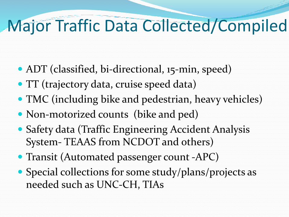
Major Traffic Data Collected/Compiled
ADT (classified, bi-directional, 15-min, speed)
TT (trajectory data, cruise speed data)
TMC (including bike and pedestrian, heavy vehicles)
Non-motorized counts (bike and ped)
Safety data (Traffic Engineering Accident Analysis System- TEAAS from NCDOT and others)
Transit (Automated passenger count -APC)
Special collections for some study/plans/projects as needed such as UNC-CH, TIAs
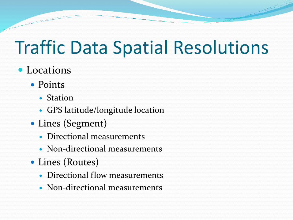
Traffic Data Spatial Resolutions Locations
Points
Station
GPS latitude/longitude location
Lines (Segment)
Directional measurements
Non-directional measurements
Lines (Routes)
Directional flow measurements
Non-directional measurements

Traffic Data Temporal Resolution Time
Range/Interval (AM, PM, Noon, Off peak intervals)
Point in time
Average
Data Details Data attributes
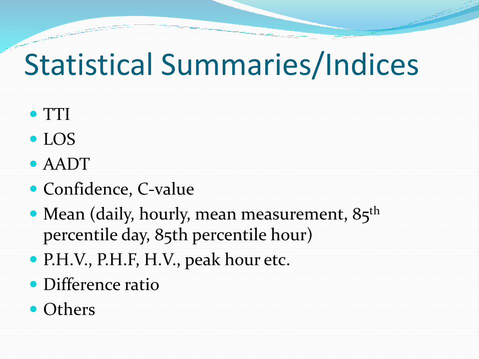
Statistical Summaries/Indices
TTI
LOS
AADT
Confidence, C-value
Mean (daily, hourly, mean measurement, 85th
percentile day, 85th percentile hour)
P.H.V., P.H.F, H.V., peak hour etc.
Difference ratio
Others
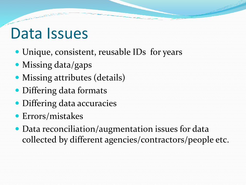
Data Issues Unique, consistent, reusable IDs for years
Missing data/gaps
Missing attributes (details)
Differing data formats
Differing data accuracies
Errors/mistakes
Data reconciliation/augmentation issues for data collected by different agencies/contractors/people etc.
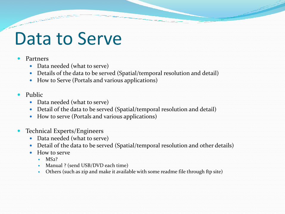
Data to Serve Partners
Data needed (what to serve) Details of the data to be served (Spatial/temporal resolution and detail) How to Serve (Portals and various applications)
Public Data needed (what to serve) Detail of the data to be served (Spatial/temporal resolution and detail) How to serve (Portals and various applications)
Technical Experts/Engineers Data needed (what to serve) Detail of the data to be served (Spatial/temporal resolution and other details) How to serve
MS2? Manual ? (send USB/DVD each time) Others (such as zip and make it available with some readme file through ftp site)
Data Review/Revisions for Portal Unique IDs
Matching our IDs (may or may not be unique) with MS2 IDs in case we are not going to adopt MS2 IDs
Data details/resolutions
Data structure/formats (templates)
Further customization (?)
Others
Addressing Data Issues/QA/QC/Summaries Scripting
Development of tools
Development of applications
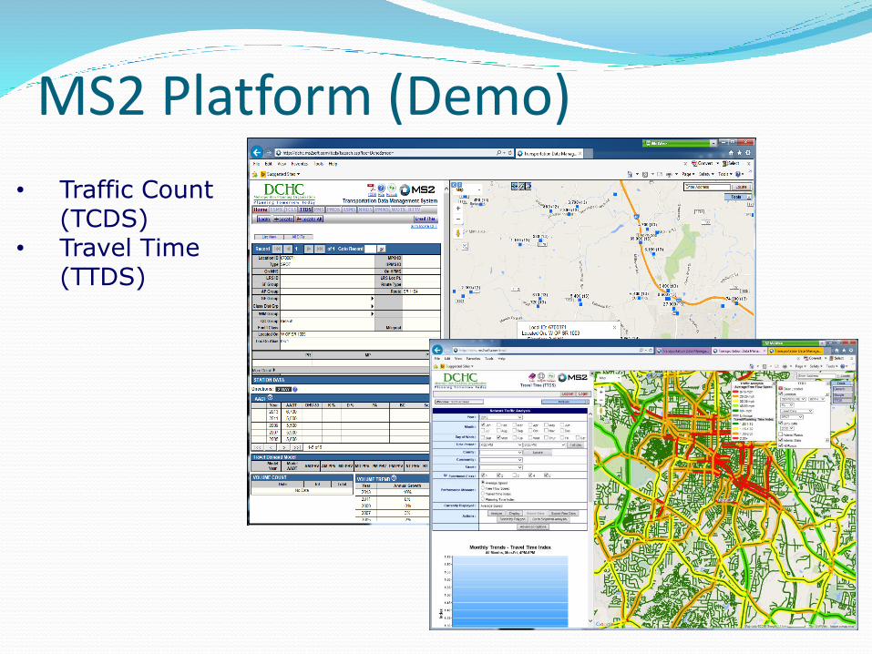
MS2 Platform (Demo)
• Traffic Count (TCDS)
• Travel Time (TTDS)
GIS-T at MPO Future
Better understanding of the needs/requirements
Better Integrated/Responsive/Real Time Applications
Better Platforms/Portals
Standard/Policy Updates and Implementation
Support and Training
Expansion/Enhancement
Integration

Thank you !!!
Any questions ???