Embed Size (px)
DESCRIPTION
Highlights from the 2012 Esri User Conference
Citation preview
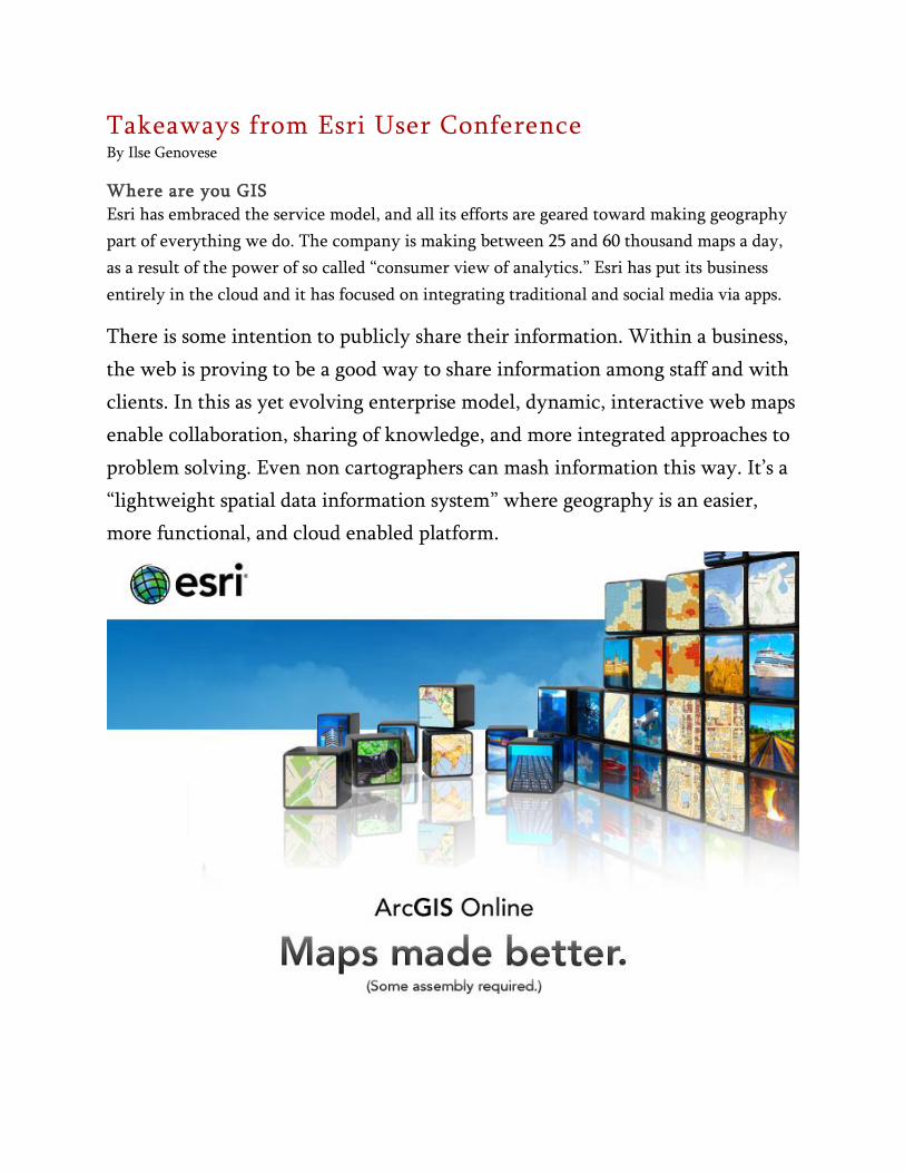
Takeaways from Esri User Conference By Ilse Genovese
Where are you GIS
Esri has embraced the service model, and all its efforts are geared toward making geography
part of everything we do. The company is making between 25 and 60 thousand maps a day,
as a result of the power of so called “consumer view of analytics.” Esri has put its business
entirely in the cloud and it has focused on integrating traditional and social media via apps.
There is some intention to publicly share their information. Within a business,
the web is proving to be a good way to share information among staff and with
clients. In this as yet evolving enterprise model, dynamic, interactive web maps
enable collaboration, sharing of knowledge, and more integrated approaches to
problem solving. Even non cartographers can mash information this way. It’s a
“lightweight spatial data information system” where geography is an easier,
more functional, and cloud enabled platform.

ArcGIS. 10.1
In today’s economic climate, business professionals must find innovative ways
to use existing resources to boost revenue, increase accuracy, and improve
decision making. Esri believes that the ArcGIS software provides a solution, and
as is customary, much of the UC was devoted to ArcGIS 10.1 and ArcGIS
Online. One of the major improvements of the 10.1 version ensures that
business intelligence is maximized by integrating it with GIS. ArcGIS 10.1 has a
global street map, imagery from the digital globe library, it can be used with
spreadsheets ... According to Dangermond, it’s an authoritative, reliable source
of data. ArcGIS 10.1 and ArcGIS Online deliver mapping services within an
ecosystem--desktop, servers, devices, cloud.
Esri, GIS at a turning point
GIS professionals are contributing authoritative data which help knowledge
workers address scientific issues. By implementing the cloud solution,
everybody gets connected and decision makers connected to science. GIS is also
being made available to the public … Data is becoming public.
New at Esri UC
Apart from such new theme banners as “Where are you GIS”, and the roll out
of the new Esri vision and software toolbox, for the first time in UC’s history,
press were given an opportunity to sit down with Jack Dangermond and ask
questions. Something else was new; the exhibit hall had fewer exhibitors, likely
because of defunding of presenters from government agencies and some
exhibitors.
Despite the hype elevating ArcGIS 10.1 to cloud-like prominence, I did like the
Esri Maps for Office app which, I believe, was used to make the GPS Day map.
The Find-A-Control for iOS is pretty neat too, and I am looking forward to a
Medals map done using Cloud GIS technology. Here is a preview; for the final
count, be sure to read the August Bulletin.
QUESTIONS FROM THE MEDIA LUNCH WITH JD
Q1: Is Esri now marketing directly to consumers?
A: Not, our focus is the user, but we are adapting to the consumer world.
Opening up geography to wider audiences. We are not trying to adopt a
consumer oriented environment, but we are adopting consumer patterns to
improve user experience. Esri is moving towards a new modality where services
will be emphasized and will most likely lead to an organizational change. Cloud
GIS is transformational technology; it's transforming how users consume spatial
information and how organizations such as Esri deliver this information.
Q2: Will Esri provide education on how to use this new technology?
A: Certainly. Enterprise integration has the potential to empower small and
medium enterprises. GIS users know how to create authoritative content. The
next step is to enable self-service mapping, with individuals making their data
pages publicly available. They can share their base maps, they can embed
images, media [e.g., tweets] into the web map and make their own apps. A web
map is not just a map in a browser, it's a specification of building blocks that
can be put together as needed. For instance, one can map addresses [lat/long
etc.] not tied to any coordinate system. All this will empower users,
Dangermond said. – [email protected]