Embed Size (px)
Citation preview

Finding GIS Data & Preparing It For Use.

What does the Yale Map Collection GIS Service do?

Data Distribution
• ESRI World Base Data:For each geography included,
the significant basemap layers are:
• Boundaries
• Cities
• Rivers
• Roads
In some cases demographic data is available for sub-national boundaries.

Data Distribution
• ESRI USA Base Data:– U.S. Census Boundaries
and Demographics– StreetMap USA – Indexed
and optimized for address-matching
– Geographic Names Information System (GNIS) Cultural Points
– National Atlas of the United States
– USGS Topographic Quadrangle Series Indexes- 24k, 100k, 250k

Data Distribution
• National Elevation Dataset 1/3 (NED):– Raster elevation data at 30m
resolution for the Coterminous U.S.
• GEOLYTICS Census Data– Third-party software package
that allows custom U.S. Census dataset construction down to the block level census geography.
• HUSCO:– Historic U.S. Counties.
County-level U.S. Census boundaries from 1790 - present

Data Distribution
• BioClim Data – Global Climatic data based upon a 30 arc-second (1km) grid:
– Annual Mean Temperature– Mean Diurnal Range (Mean of monthly (max
temp - min temp))– Isothermality (P2/P7) (* 100)– Temperature Seasonality (standard deviation
*100)– Max Temperature of Warmest Month– Min Temperature of Coldest Month– Temperature Annual Range (P5-P6)– Mean Temperature of Wettest Quarter – Mean Temperature of Driest Quarter– Mean Temperature of Warmest Quarter– Mean Temperature of Coldest Quarter– Annual Precipitation– Precipitation of Wettest Month– Precipitation of Driest Month– Precipitation Seasonality (Coefficient of
Variation)– Precipitation of Wettest Quarter– Precipitation of Driest Quarter– Precipitation of Warmest Quarter– Precipitation of Coldest Quarter

Data Search
• For specialized data needs, we provide data search services to locate suitable data solutions, including:– Custom Business Data– Satellite Imagery– Environmental data

Data Acquisition
• In some cases, when licensing allows the free distribution of data, and when data may be of wide usability to the Yale community, GIS Services will contribute to the acquisition cost for geospatial datasets.
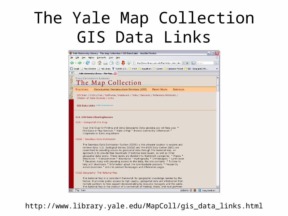
The Yale Map Collection GIS Data Links
http://www.library.yale.edu/MapColl/gis_data_links.html

Federal Sources

Geodata.gov
http://gos2.geodata.gov/wps/portal/gos

The USGS Seamless Data Distribution System (SDDS)
http://seamless.usgs.gov/website/seamless/

The U.S. Census Bureau
http://www.census.gov/

State Sources

Connecticut Dept. of Environmental Protection
http://www.ct.gov/dep/site/default.asp

State Environmental Agencies
http://www.epa.gov/epahome/state.htm
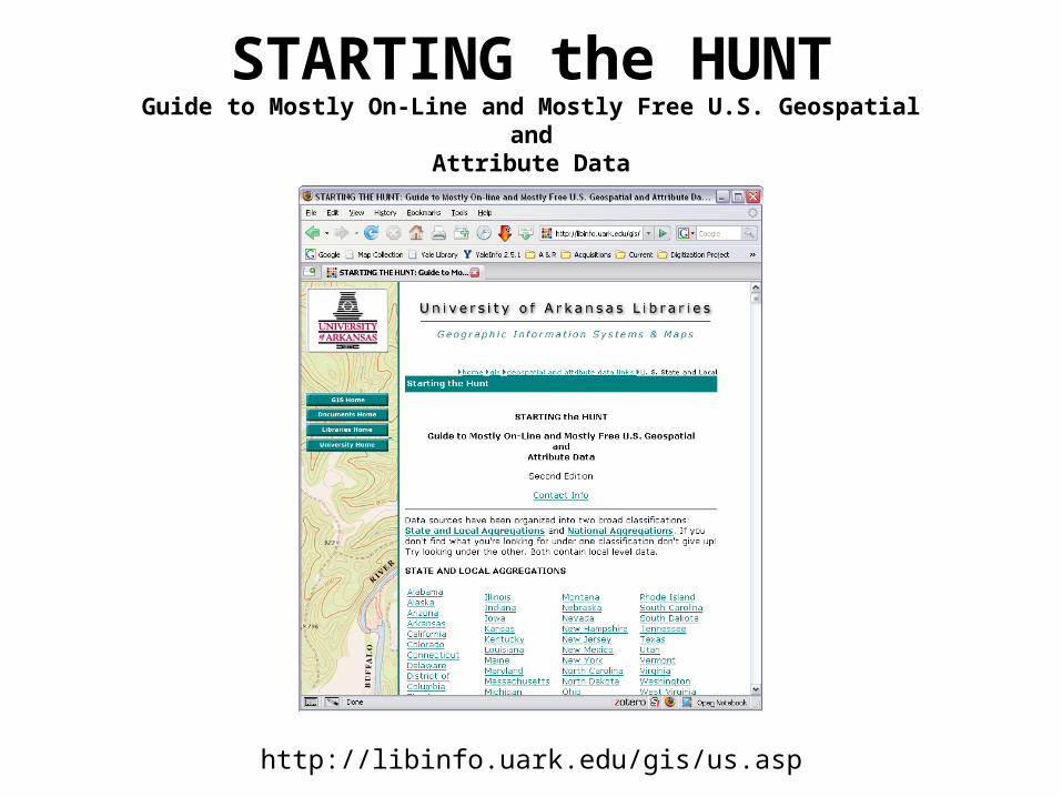
STARTING the HUNTGuide to Mostly On-Line and Mostly Free U.S. Geospatial
andAttribute Data
http://libinfo.uark.edu/gis/us.asp

Commercial Sources

ArcData Download Census 2000 TIGER/Line® Data
http://arcdata.esri.com/data/tiger2000/tiger_download.cfm

The Geography Network
http://www.geographynetwork.com/

The GIS Data Depot
http://data.geocomm.com/