Embed Size (px)
Citation preview
Geography of GeorgiaGraphic Organizer Notes
Key terms
• Geography
• Absolute location
• Relative location
What is geography?
• Science of studying the earth and its people
• Geography helps us understand why Georgia’s native peoples and later settlers chose certain parts of the state as their home
Spatial Geography
How do we organize the land?
• 159 counties
• 5 bordering states– What are they??? (label your map)
Places & Regions
People create regions to understand the earth’s complexities
• GA has 5 physiographic regions
• 18 islands
• 58,910 square miles of land
• 854 square inland water miles
Physical systems of GA
Physical processes that shape the earth’s surface
• Coastal islands (SE GA)
• Appalachian Mountains (N GA)
• Fall Line: line that separates east & west GA
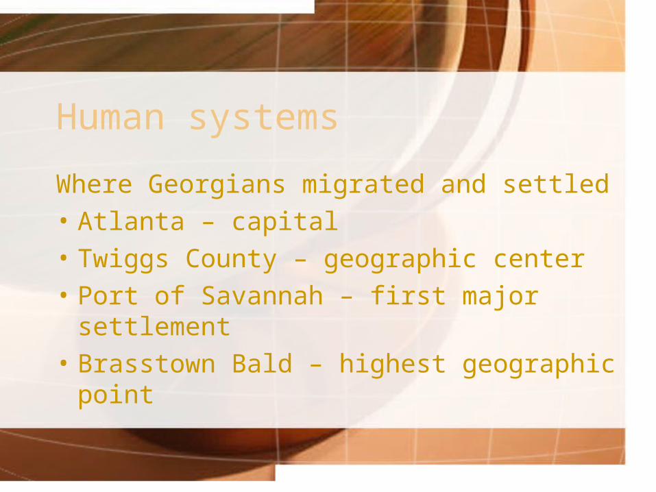
Human systems
Where Georgians migrated and settled
• Atlanta – capital
• Twiggs County – geographic center
• Port of Savannah – first major settlement
• Brasstown Bald – highest geographic point
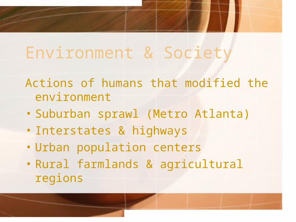
Environment & Society
Actions of humans that modified the environment
• Suburban sprawl (Metro Atlanta)
• Interstates & highways
• Urban population centers
• Rural farmlands & agricultural regions
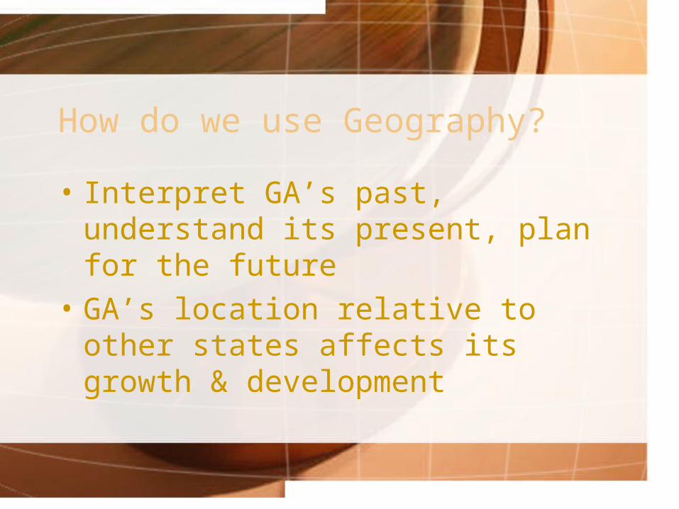
How do we use Geography?
• Interpret GA’s past, understand its present, plan for the future
• GA’s location relative to other states affects its growth & development
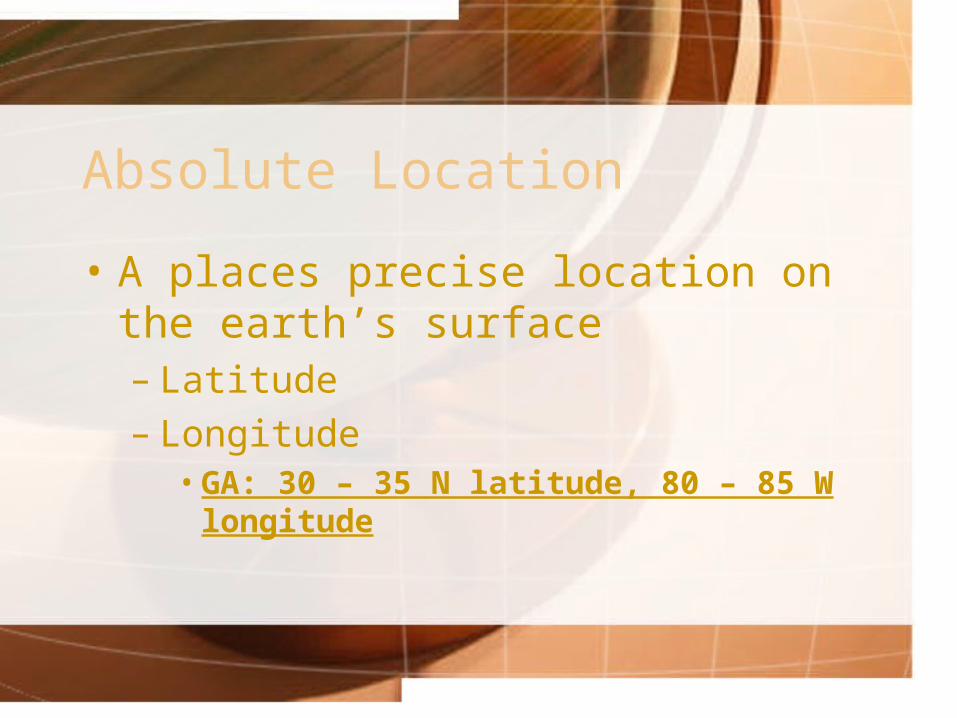
Absolute Location
• A places precise location on the earth’s surface– Latitude– Longitude
• GA: 30 – 35 N latitude, 80 – 85 W longitude
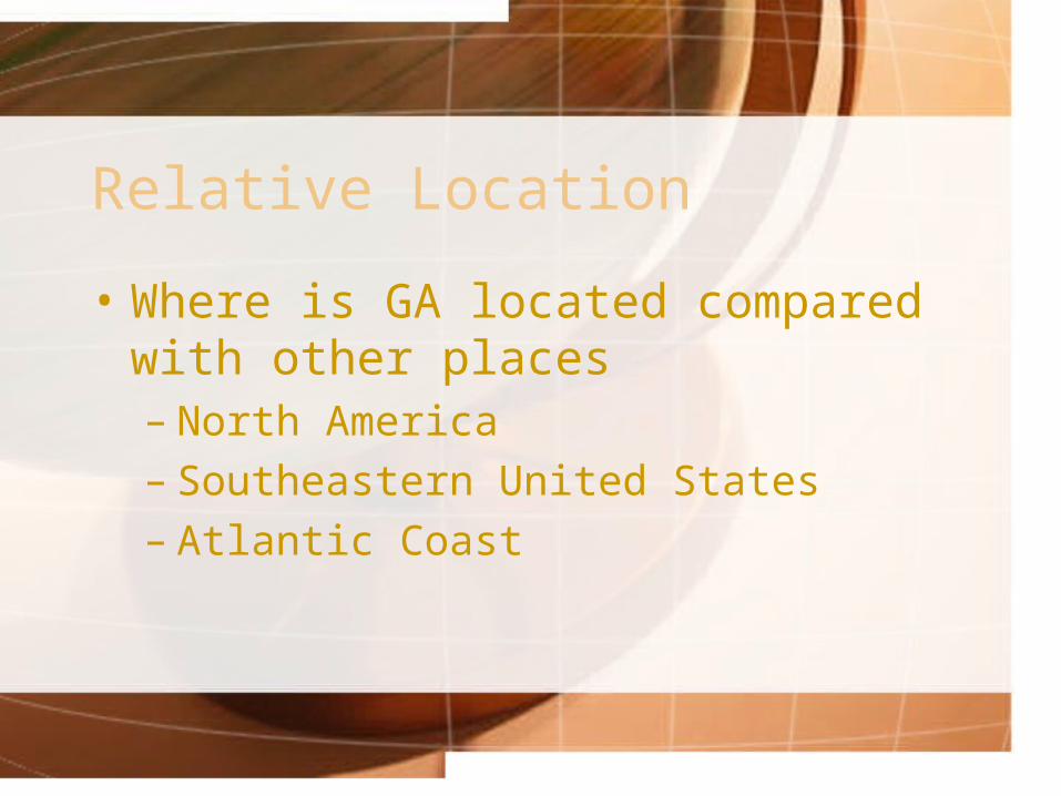
Relative Location
• Where is GA located compared with other places– North America– Southeastern United States– Atlantic Coast
GA’s Physiographic Regions
• How would you describe the Geographic Regions of Georgia?
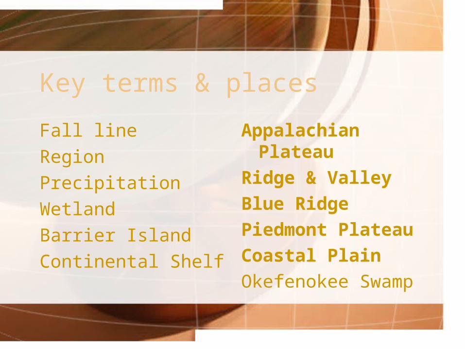
Key terms & places
Fall line
Region
Precipitation
Wetland
Barrier Island
Continental Shelf
Appalachian Plateau
Ridge & Valley
Blue Ridge
Piedmont Plateau
Coastal Plain
Okefenokee Swamp
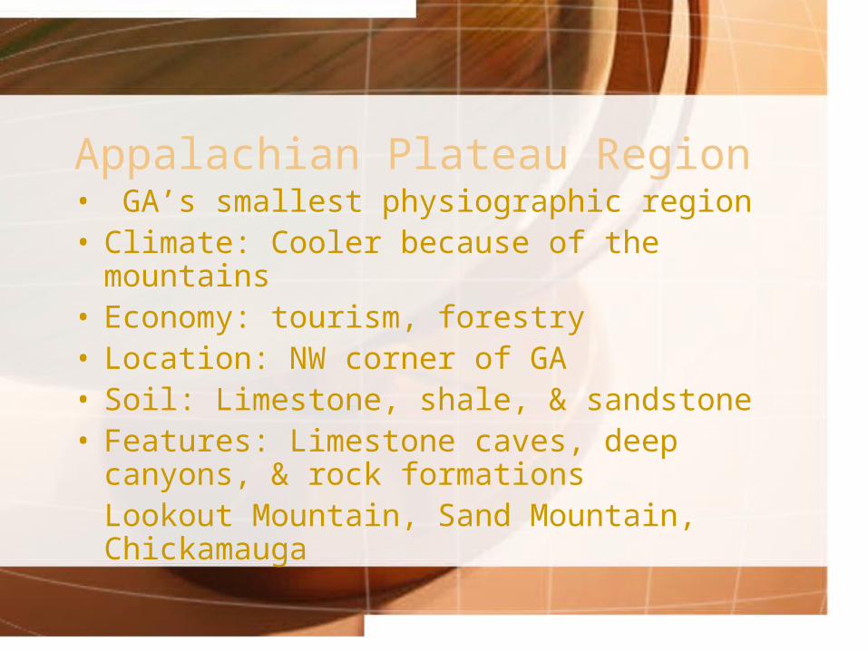
Appalachian Plateau Region• GA’s smallest physiographic region• Climate: Cooler because of the mountains• Economy: tourism, forestry• Location: NW corner of GA• Soil: Limestone, shale, & sandstone• Features: Limestone caves, deep canyons, &
rock formationsLookout Mountain, Sand Mountain, Chickamauga
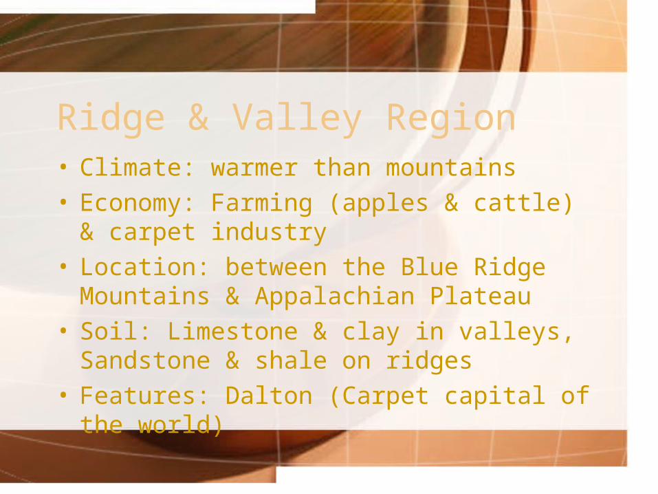
Ridge & Valley Region• Climate: warmer than mountains• Economy: Farming (apples & cattle) & carpet
industry• Location: between the Blue Ridge Mountains
& Appalachian Plateau• Soil: Limestone & clay in valleys, Sandstone
& shale on ridges• Features: Dalton (Carpet capital of the world)
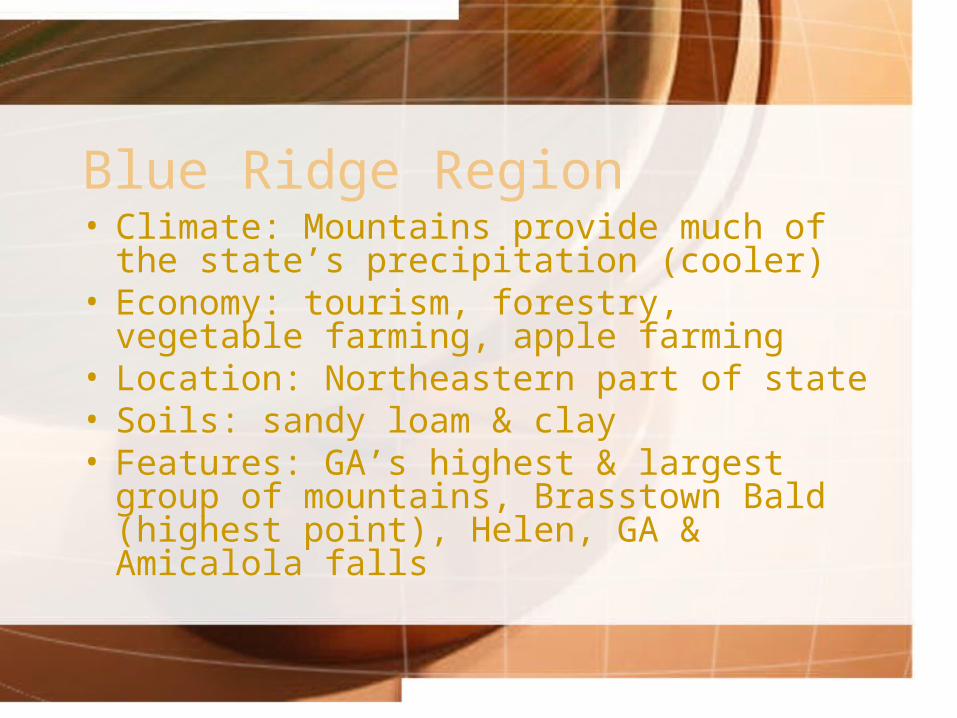
Blue Ridge Region• Climate: Mountains provide much of the
state’s precipitation (cooler)• Economy: tourism, forestry, vegetable
farming, apple farming• Location: Northeastern part of state• Soils: sandy loam & clay• Features: GA’s highest & largest group of
mountains, Brasstown Bald (highest point), Helen, GA & Amicalola falls
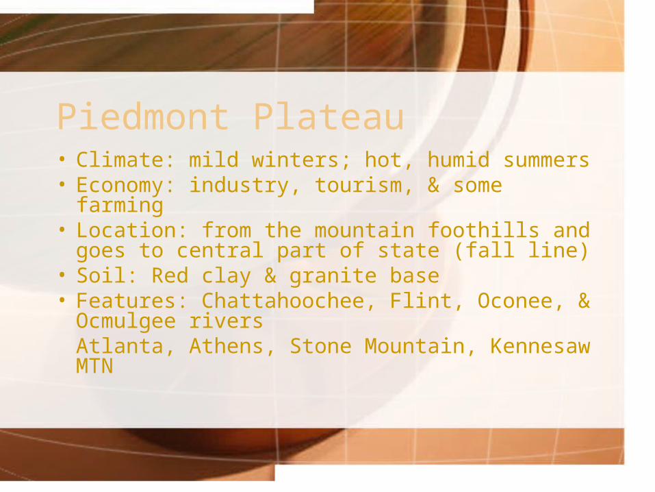
Piedmont Plateau• Climate: mild winters; hot, humid summers• Economy: industry, tourism, & some farming• Location: from the mountain foothills and
goes to central part of state (fall line)• Soil: Red clay & granite base• Features: Chattahoochee, Flint, Oconee, &
Ocmulgee riversAtlanta, Athens, Stone Mountain, Kennesaw MTN
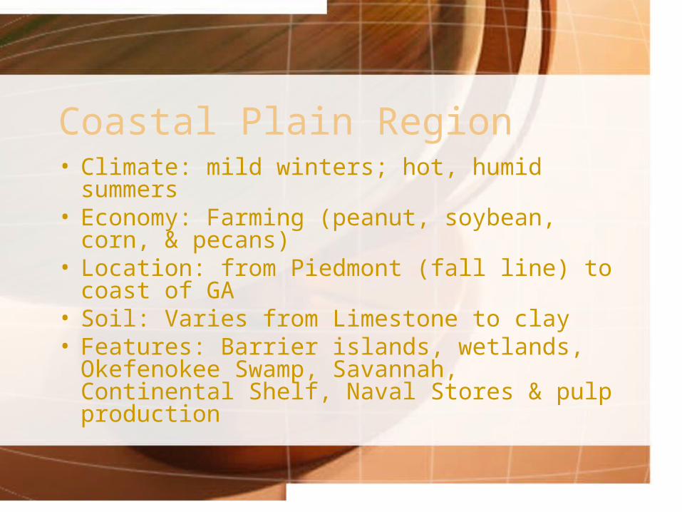
Coastal Plain Region• Climate: mild winters; hot, humid summers• Economy: Farming (peanut, soybean, corn, &
pecans)• Location: from Piedmont (fall line) to coast of
GA• Soil: Varies from Limestone to clay• Features: Barrier islands, wetlands,
Okefenokee Swamp, Savannah, Continental Shelf, Naval Stores & pulp production
Okefenokee Swamp
• 681 square miles
• Located south of Waycross
• Largest swamp in North America
• Freshwater wetland
• Water lies close to the surface

Barrier Islands
• Spanish Explorers called them “islands of gold”
• Protect beaches by blocking sand, winds, & water that could erode coastline
• 2/3’s remain wilderness areas• Recreation & seafood gathering as well as
tourism
Shelves & Lines• Continental Shelf: part of coastal plain that
extends into ocean• Fall Line: natural boundary that separates the
Coastal Plain from the Piedmont Plateau– Hilly or mountainous lands meet coastal plain– Many water falls here because of the change in
land structure• Fall Line water falls provide power source for many GA
communities
Georgia’s Climate
What do I need to know?
• Difference between weather & climate
• Effect of weather conditions on state
• Different types of weather phenomena
GA’s temperature
• Mild climate, subtropical feel on coast• Hot, humid summers & mild winters• Four distinct seasons• Vertical climate: cooler climate at higher
elevations (mountains)• July is hottest month, January coldest
GA’s Precipitation
• Normal year: 40 – 52 inches of precipitation in central & southern regions, 65 – 76 inches in northern regions
• July is wettest month, October is driest
• 2007 precipitation – so far
Winds & Currents
• Air masses from Gulf of Mexico & Atlantic control warm summer months
• Air masses from Canada & Alaska control winter weather
• Ocean currents, trade winds, & prevailing westerlies aided travel for early explorers
Storms over GA
• GA averages 21 tornados per year resulting in one to three deaths
• Most tornados in GA generally occur from March to May
2007 Drought
• Attach activity here from other PPT
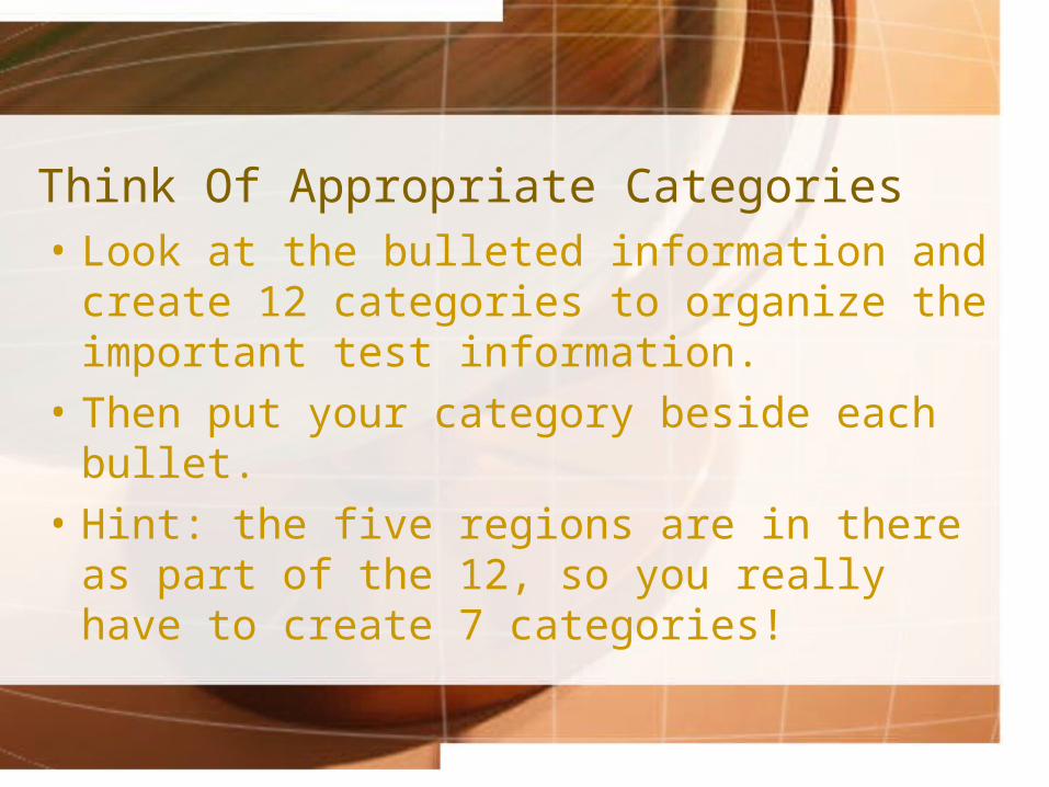
Think Of Appropriate Categories• Look at the bulleted information and create
12 categories to organize the important test information.
• Then put your category beside each bullet.
• Hint: the five regions are in there as part of the 12, so you really have to create 7 categories!
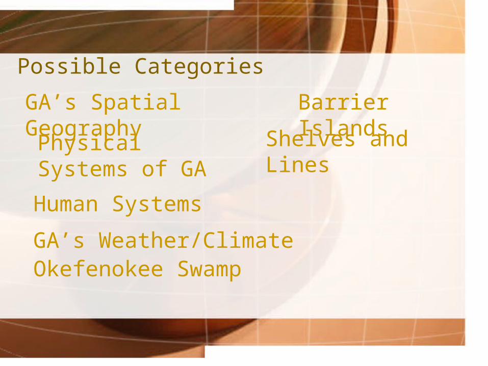
Possible Categories
Okefenokee Swamp
Barrier Islands
Shelves and Lines
GA’s Weather/Climate
Human Systems
Physical Systems of GA
GA’s Spatial Geography
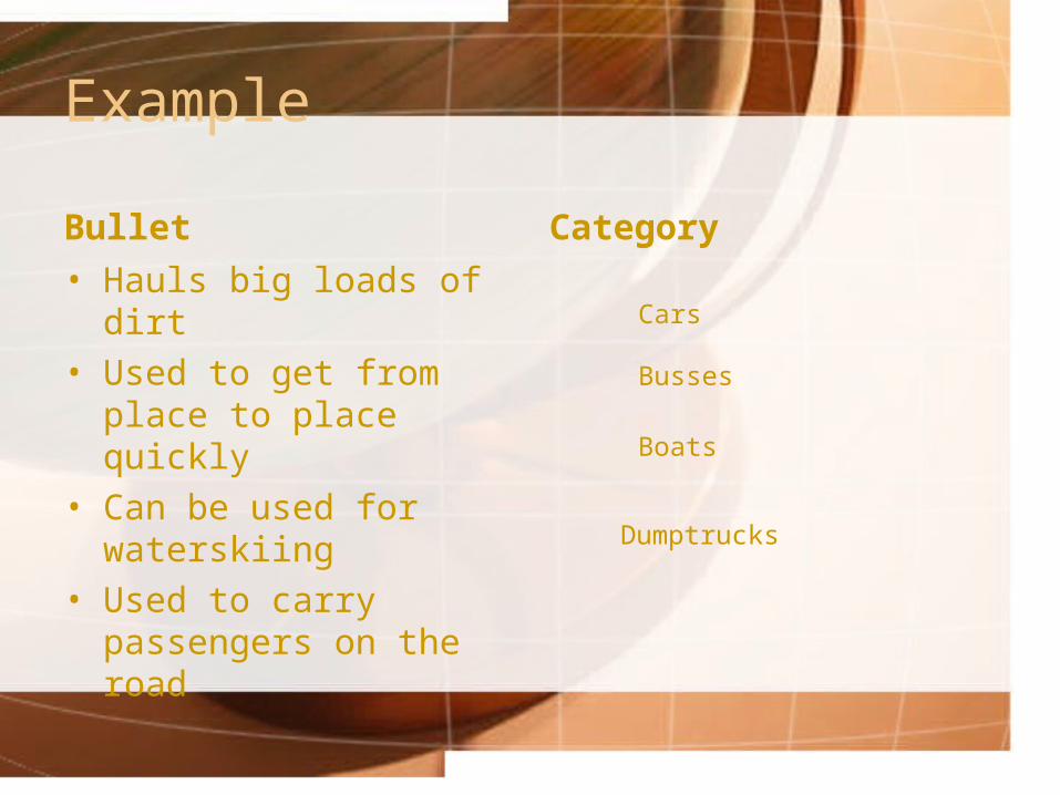
Example
Bullet
• Hauls big loads of dirt• Used to get from place to
place quickly• Can be used for
waterskiing• Used to carry passengers
on the road
Category
Cars
Busses
Boats
Dumptrucks