Embed Size (px)
Citation preview

Geoinformatics at the Geoinformatics at the USGS:USGS:
Data to Knowledge toData to Knowledge to Application! Application!
Linda C. GundersenLinda C. Gundersen
Chief Scientist for GeologyChief Scientist for Geology
U.S. Geological Survey May U.S. Geological Survey May 20062006
U.S. Department of the InteriorU.S. Geological Survey
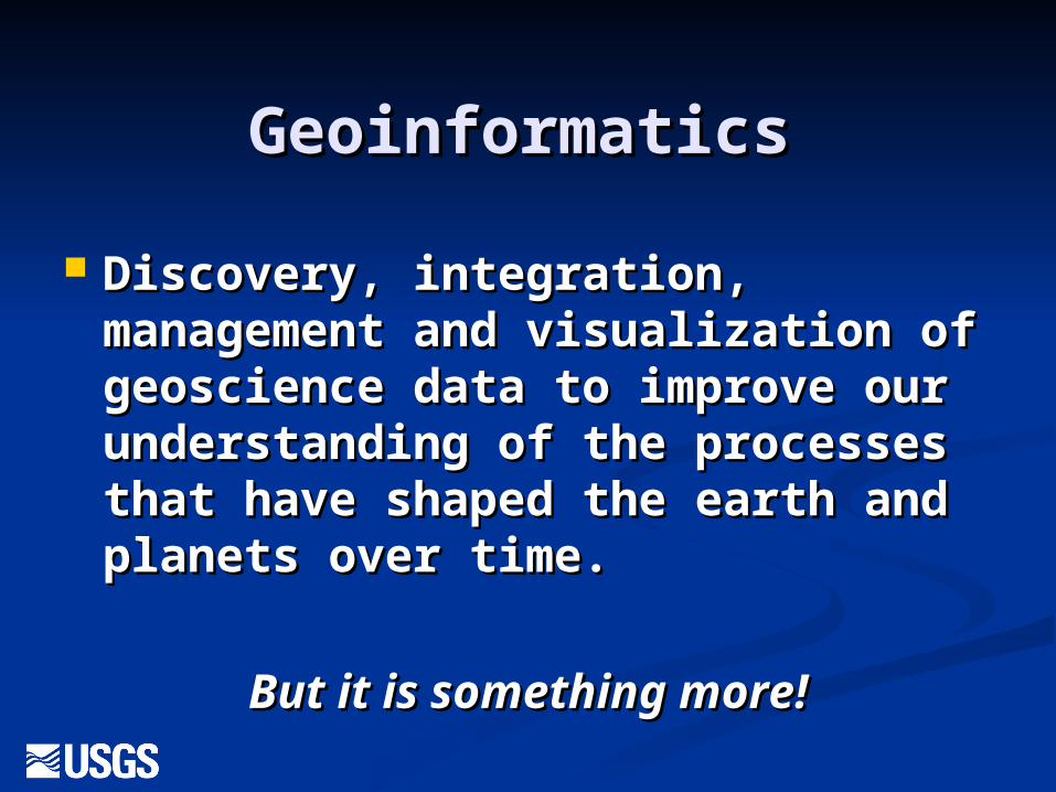
GeoinformaticsGeoinformatics
Discovery, integration, Discovery, integration, management and visualization of management and visualization of geoscience data to improve our geoscience data to improve our understanding of the processes understanding of the processes that have shaped the earth and that have shaped the earth and planets over time. planets over time.
But it is something more!But it is something more!
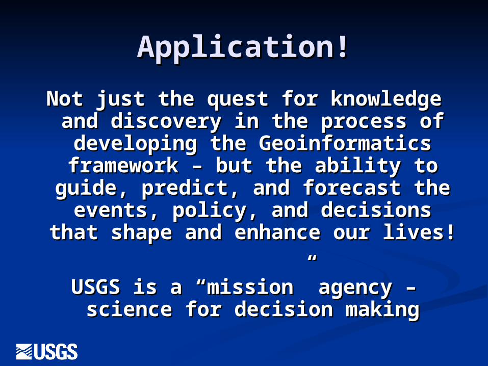
Application!Application!
Not just the quest for knowledge Not just the quest for knowledge and discovery in the process of and discovery in the process of developing the Geoinformatics developing the Geoinformatics framework – but the ability to framework – but the ability to
guide, predict, and forecast the guide, predict, and forecast the events, policy, and decisions that events, policy, and decisions that
shape and enhance our lives!shape and enhance our lives!
USGS is a “mission” agency – USGS is a “mission” agency – science for decision makingscience for decision making
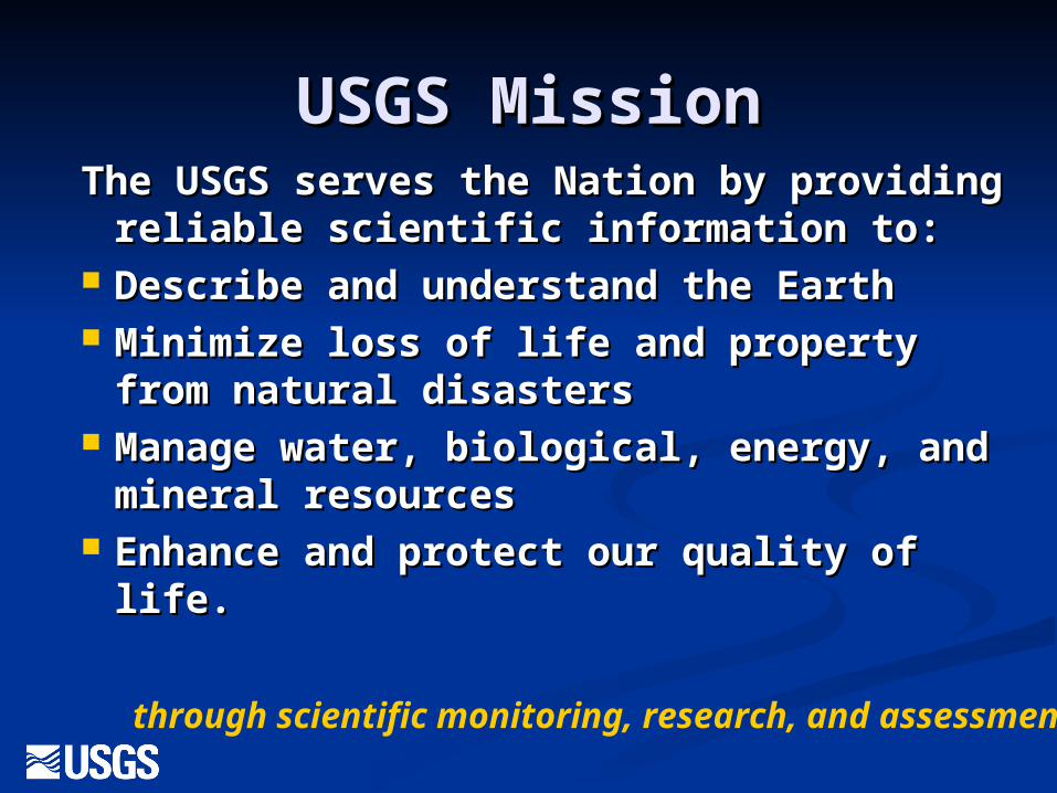
USGS MissionUSGS MissionThe USGS serves the Nation by The USGS serves the Nation by
providing reliable scientific providing reliable scientific information to:information to:
Describe and understand the EarthDescribe and understand the Earth Minimize loss of life and property from Minimize loss of life and property from
natural disasters natural disasters Manage water, biological, energy, and Manage water, biological, energy, and
mineral resources mineral resources Enhance and protect our quality of Enhance and protect our quality of
life. life. through scientific monitoring, research, and assessment!
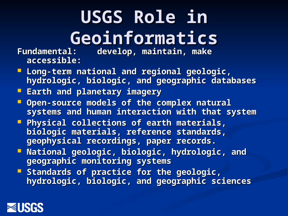
USGS Role in USGS Role in GeoinformaticsGeoinformatics
Fundamental: develop, maintain, make accessible:Fundamental: develop, maintain, make accessible: Long-term national and regional geologic, Long-term national and regional geologic,
hydrologic, biologic, and geographic databaseshydrologic, biologic, and geographic databases Earth and planetary imagery Earth and planetary imagery Open-source models of the complex natural Open-source models of the complex natural
systems and human interaction with that systemsystems and human interaction with that system Physical collections of earth materials, biologic Physical collections of earth materials, biologic
materials, reference standards, geophysical materials, reference standards, geophysical recordings, paper records.recordings, paper records.
National geologic, biologic, hydrologic, and National geologic, biologic, hydrologic, and geographic monitoring systems geographic monitoring systems
Standards of practice for the geologic, hydrologic, Standards of practice for the geologic, hydrologic, biologic, and geographic sciencesbiologic, and geographic sciences
USGS Role in USGS Role in GeoinfomaticsGeoinfomatics
All activities: Data creation, modeling, All activities: Data creation, modeling, monitoring, collections, standards etc. monitoring, collections, standards etc. Must be done in cooperation and Must be done in cooperation and collaboration with the public and collaboration with the public and governmental, academic, and private governmental, academic, and private sector partners and stakeholders.sector partners and stakeholders.
A critical USGS role: A critical USGS role: facilitate bringing communities facilitate bringing communities
together!together!
Data Collections versus Data Collections versus Communities of PracticeCommunities of Practice
Geoinformatics must evolve beyond the Geoinformatics must evolve beyond the accumulation of data, models, and standards accumulation of data, models, and standards to become the framework for a to become the framework for a community community of practiceof practice in the natural sciences. in the natural sciences.
Etienne Wegner and Jean Lave coined the Etienne Wegner and Jean Lave coined the term and developed the learning theory of term and developed the learning theory of communities of practice – that we learn not communities of practice – that we learn not only as individuals but as communities. By only as individuals but as communities. By engaging in communities of practice we engaging in communities of practice we increase our capacity and innovation as well increase our capacity and innovation as well as leverage our support for areas of interest. as leverage our support for areas of interest.
Creativity, Learning, and Creativity, Learning, and InnovationInnovation
A community of practice is not merely a A community of practice is not merely a community with a common interest. But community with a common interest. But are practitioners who are practitioners who share experiences share experiences and learn from each otherand learn from each other. They develop a . They develop a shared repertoireshared repertoire of resources: experiences, of resources: experiences, stories, tools, vocabularies, ways of stories, tools, vocabularies, ways of addressing recurring problems. This takes addressing recurring problems. This takes time and sustained interactiontime and sustained interaction. Standards . Standards of practice and reference materials will of practice and reference materials will grow out of this. grow out of this. But the critical benefits But the critical benefits include: creating and sustaining include: creating and sustaining knowledge, leveraging of resources, and knowledge, leveraging of resources, and rapid learning and innovation.rapid learning and innovation.
USGS can only do what it does USGS can only do what it does because of its partners--and the because of its partners--and the
communities of practice that communities of practice that have evolved over the past 100 have evolved over the past 100
yearsyears What follows are examples of What follows are examples of
databases, models, and informatics, databases, models, and informatics, all collaborative efforts that are all collaborative efforts that are contributing to Geoinfomatics as contributing to Geoinfomatics as well as Bioinformatics and other well as Bioinformatics and other similar efforts.similar efforts.
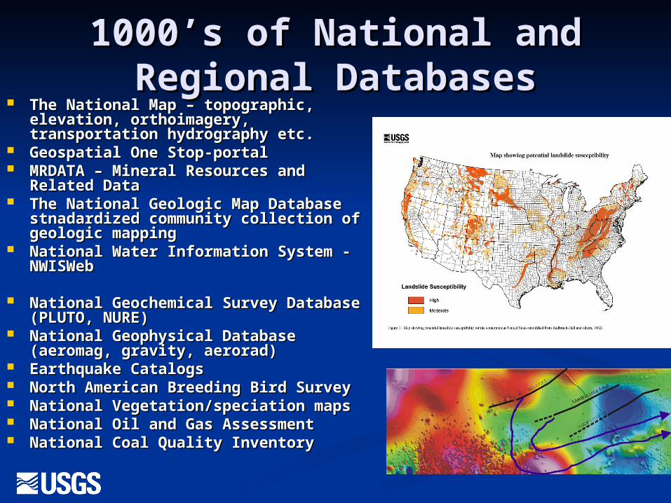
1000’s of National and 1000’s of National and Regional DatabasesRegional Databases
The National Map – topographic, The National Map – topographic, elevation, orthoimagery, elevation, orthoimagery, transportation hydrography etc.transportation hydrography etc.
Geospatial One Stop-portalGeospatial One Stop-portal MRDATA – Mineral Resources and MRDATA – Mineral Resources and
Related DataRelated Data The National Geologic Map Database The National Geologic Map Database
stnadardized community collection of stnadardized community collection of geologic mappinggeologic mapping
National Water Information System - National Water Information System - NWISWebNWISWeb
National Geochemical Survey National Geochemical Survey Database (PLUTO, NURE)Database (PLUTO, NURE)
National Geophysical Database National Geophysical Database (aeromag, gravity, aerorad)(aeromag, gravity, aerorad)
Earthquake CatalogsEarthquake Catalogs North American Breeding Bird SurveyNorth American Breeding Bird Survey National Vegetation/speciation mapsNational Vegetation/speciation maps National Oil and Gas AssessmentNational Oil and Gas Assessment National Coal Quality InventoryNational Coal Quality Inventory
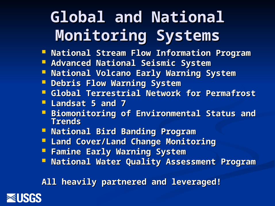
Global and National Global and National Monitoring SystemsMonitoring Systems
National Stream Flow Information ProgramNational Stream Flow Information Program Advanced National Seismic SystemAdvanced National Seismic System National Volcano Early Warning SystemNational Volcano Early Warning System Debris Flow Warning SystemDebris Flow Warning System Global Terrestrial Network for PermafrostGlobal Terrestrial Network for Permafrost Landsat 5 and 7Landsat 5 and 7 Biomonitoring of Environmental Status and Biomonitoring of Environmental Status and
TrendsTrends National Bird Banding ProgramNational Bird Banding Program Land Cover/Land Change MonitoringLand Cover/Land Change Monitoring Famine Early Warning SystemFamine Early Warning System National Water Quality Assessment ProgramNational Water Quality Assessment Program
All heavily partnered and leveraged!All heavily partnered and leveraged!
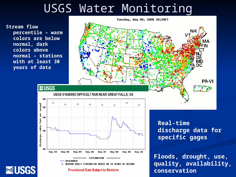
USGS Water MonitoringUSGS Water MonitoringStream flow
percentile – warm colors are below normal, dark colors above normal – stations with at least 30 years of data
Real-time discharge data for specific gages
Floods, drought, use, quality, availability, conservation
Over 100 open source hydrologic Over 100 open source hydrologic models offered free on-line for models offered free on-line for
downloaddownload MODFLOW, MODFLOW-2005 and related MODFLOW, MODFLOW-2005 and related
programs 3D flow, transport, particle programs 3D flow, transport, particle tracking, water budget, user-interfaces, tracking, water budget, user-interfaces, surface-water interactions, and parameter surface-water interactions, and parameter estimation estimation
PHREEQC Version 2.7, PHREEQCI, NETPATH and related models Speciation, Batch-Reaction, One-Dimensional Transport, and Inverse Geochemical Calculations. Net geochemical reactions along a flow path
SUTRA and related programs 2D, 3D, variable-density, variably-saturated flow, solute or energy transport
WATEQ4F Version 2.46, (Oct. 23, 2002) Calculating speciation of major, trace, and redox elements in natural waters
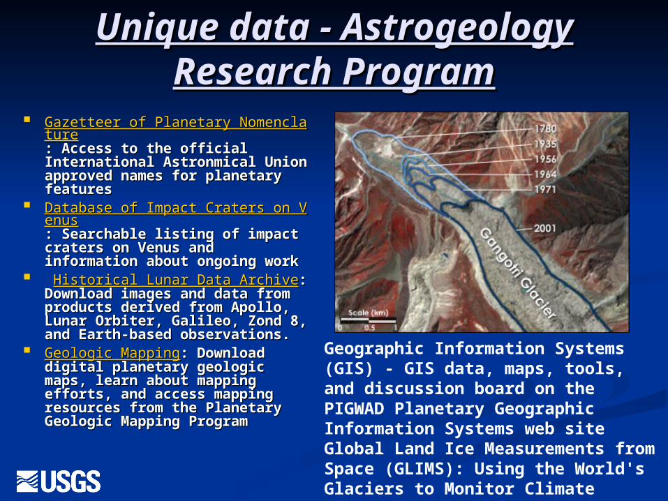
Unique data - Astrogeology Unique data - Astrogeology Research ProgramResearch Program
Gazetteer of Planetary NomenclatuGazetteer of Planetary Nomenclaturere: Access to the official : Access to the official International Astronmical International Astronmical Union approved names for Union approved names for planetary featuresplanetary features
Database of Impact Craters on VenDatabase of Impact Craters on Venusus: Searchable listing of impact : Searchable listing of impact craters on Venus and craters on Venus and information about ongoing information about ongoing workwork
Historical Lunar Data ArchiveHistorical Lunar Data Archive: : Download images and data from Download images and data from products derived from Apollo, products derived from Apollo, Lunar Orbiter, Galileo, Zond 8, Lunar Orbiter, Galileo, Zond 8, and Earth-based observations. and Earth-based observations.
Geologic MappingGeologic Mapping: Download : Download digital planetary geologic maps, digital planetary geologic maps, learn about mapping efforts, learn about mapping efforts, and access mapping resources and access mapping resources from the Planetary Geologic from the Planetary Geologic Mapping ProgramMapping Program
Geographic Information Systems (GIS) - GIS data, maps, tools, and discussion board on the PIGWAD Planetary Geographic Information Systems web siteGlobal Land Ice Measurements from Space (GLIMS): Using the World's Glaciers to Monitor Climate Change
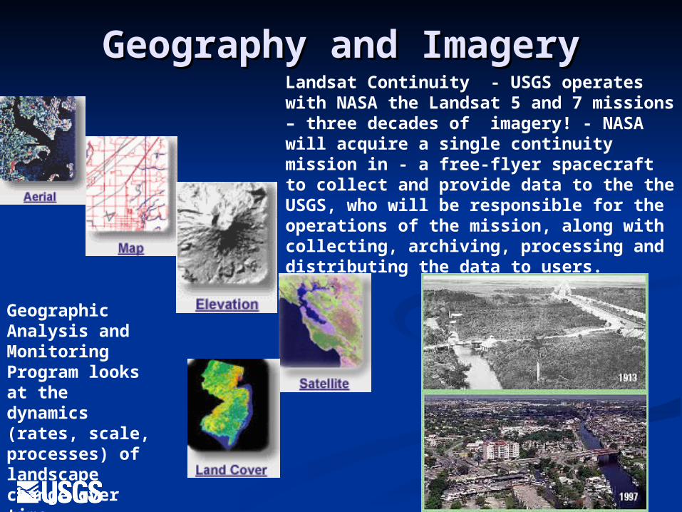
Geography and ImageryGeography and ImageryLandsat Continuity - USGS operates with NASA the Landsat 5 and 7 missions – three decades of imagery! - NASA will acquire a single continuity mission in - a free-flyer spacecraft to collect and provide data to the the USGS, who will be responsible for the operations of the mission, along with collecting, archiving, processing and distributing the data to users.
Geographic Analysis and Monitoring Program looks at the dynamics (rates, scale, processes) of landscape change over time
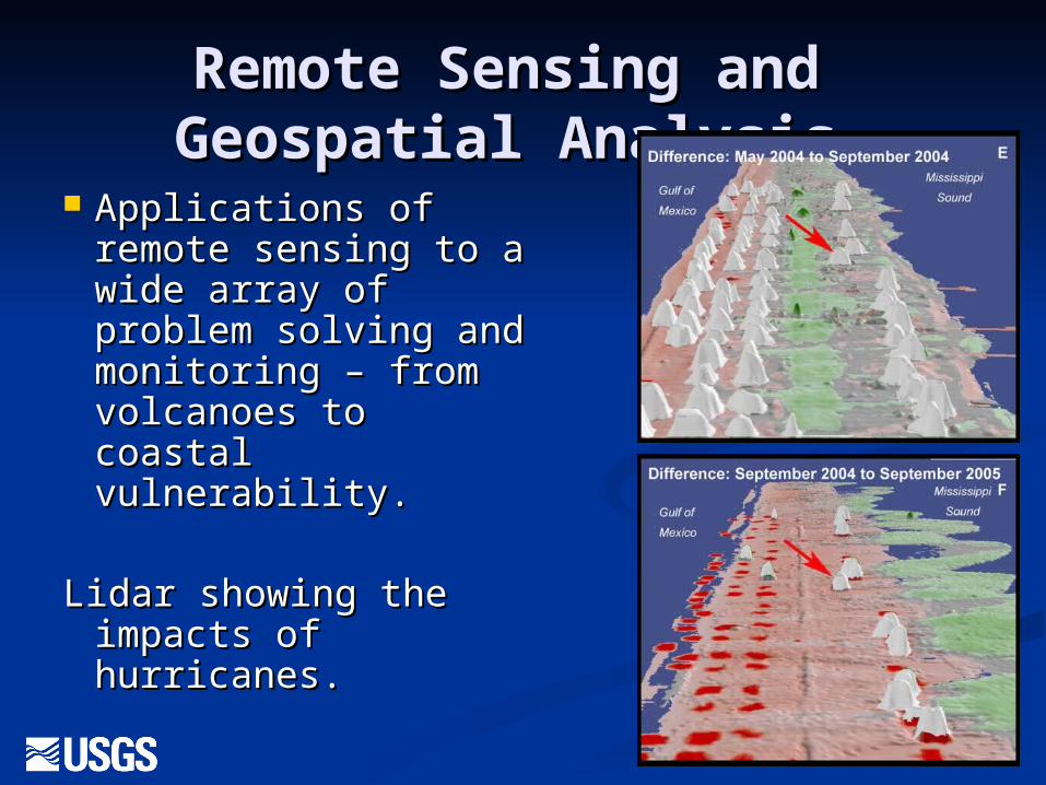
Remote Sensing and Remote Sensing and Geospatial AnalysisGeospatial Analysis
Applications of Applications of remote sensing to a remote sensing to a wide array of wide array of problem solving and problem solving and monitoring – from monitoring – from volcanoes to coastal volcanoes to coastal vulnerability.vulnerability.
Lidar showing the Lidar showing the impacts of impacts of hurricanes.hurricanes.
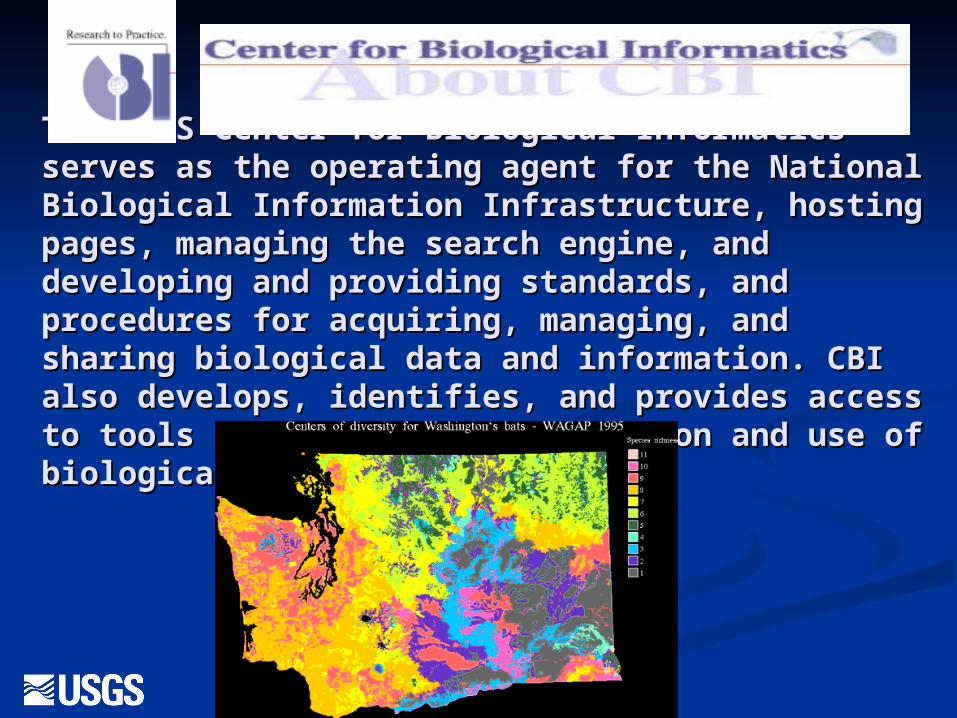
The USGS Center for Biological Informatics The USGS Center for Biological Informatics serves as the operating agent for the National serves as the operating agent for the National Biological Information Infrastructure, hosting Biological Information Infrastructure, hosting pages, managing the search engine, and pages, managing the search engine, and developing and providing standards, and developing and providing standards, and procedures for acquiring, managing, and procedures for acquiring, managing, and sharing biological data and information. CBI sharing biological data and information. CBI also develops, identifies, and provides access to also develops, identifies, and provides access to tools that facilitate collection and use of tools that facilitate collection and use of biological information and data,biological information and data,
The National Biological The National Biological Information InfrastructureInformation Infrastructure
The NBII through diverse partners and The NBII through diverse partners and information nodes links a broad spectrum of information nodes links a broad spectrum of high-quality biological databases, information high-quality biological databases, information products, and analytical tools maintained by products, and analytical tools maintained by NBII partners and other contributors in NBII partners and other contributors in government agencies, academic institutions, government agencies, academic institutions, non-government organizations, and private non-government organizations, and private industry. industry.
NBII partners and collaborators work together on NBII partners and collaborators work together on new standards, tools, and technologies that new standards, tools, and technologies that make it easier to find, integrate, and apply make it easier to find, integrate, and apply biological resources information. biological resources information.
Resource managers, scientists, educators, and the Resource managers, scientists, educators, and the general public use the NBII to answer a wide general public use the NBII to answer a wide range of questions related to the range of questions related to the management, management, use, or conservationuse, or conservation of this nation's biological of this nation's biological resources. resources.
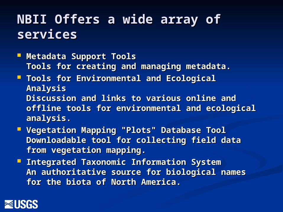
NBII Offers a wide array of NBII Offers a wide array of servicesservices
Metadata Support Tools Metadata Support Tools Tools for creating and managing metadata. Tools for creating and managing metadata.
Tools for Environmental and Ecological Tools for Environmental and Ecological Analysis Analysis Discussion and links to various online and Discussion and links to various online and offline tools for environmental and ecological offline tools for environmental and ecological analysis. analysis.
Vegetation Mapping "Plots" Database Tool Vegetation Mapping "Plots" Database Tool Downloadable tool for collecting field data Downloadable tool for collecting field data from vegetation mapping. from vegetation mapping.
Integrated Taxonomic Information SystemIntegrated Taxonomic Information SystemAn authoritative source for biological names An authoritative source for biological names for the biota of North America. for the biota of North America.
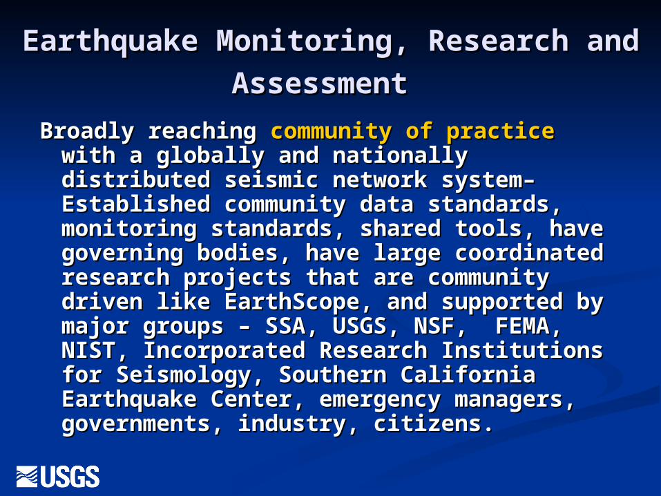
Earthquake Monitoring, Research Earthquake Monitoring, Research
and Assessmentand Assessment Broadly reaching Broadly reaching community of practicecommunity of practice with with
a globally and nationally distributed a globally and nationally distributed seismic network system– Established seismic network system– Established community data standards, monitoring community data standards, monitoring standards, shared tools, have governing standards, shared tools, have governing bodies, have large coordinated research bodies, have large coordinated research projects that are community driven like projects that are community driven like EarthScope, and supported by major EarthScope, and supported by major groups – SSA, USGS, NSF, FEMA, NIST, groups – SSA, USGS, NSF, FEMA, NIST, Incorporated Research Institutions for Incorporated Research Institutions for Seismology, Southern California Seismology, Southern California Earthquake Center, emergency managers, Earthquake Center, emergency managers, governments, industry, citizens.governments, industry, citizens.
Global and National Global and National Earthquake Monitoring Earthquake Monitoring
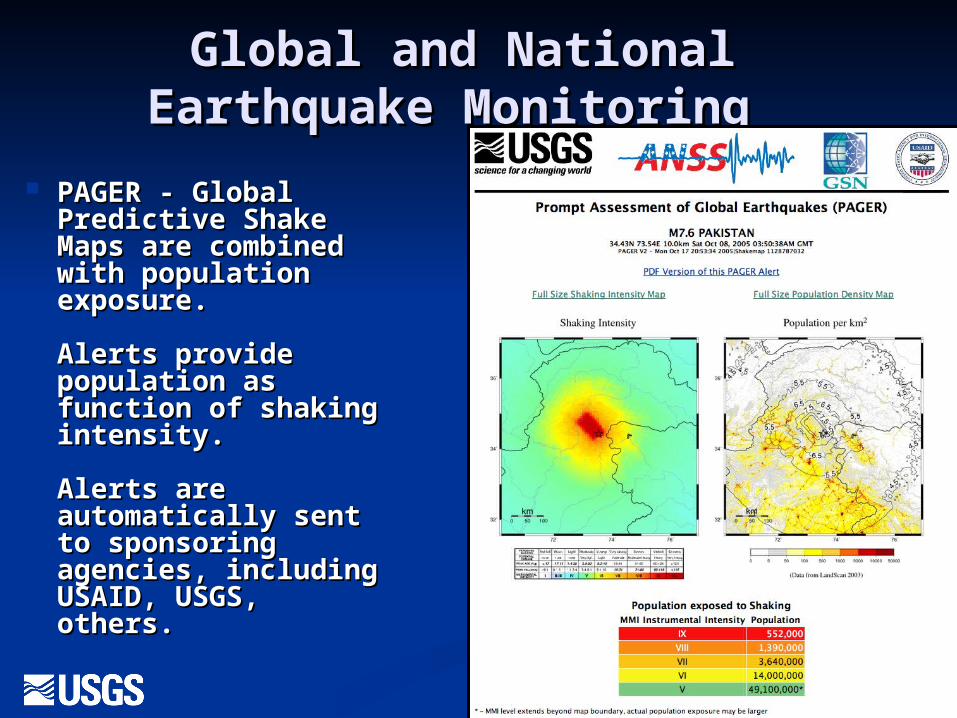
PAGER - Global PAGER - Global Predictive Shake Predictive Shake Maps are combined Maps are combined with population with population exposure.exposure.
Alerts provide Alerts provide population as population as function of shaking function of shaking intensity.intensity.
Alerts are Alerts are automatically sent automatically sent to sponsoring to sponsoring agencies, including agencies, including USAID, USGS, USAID, USGS, others.others.
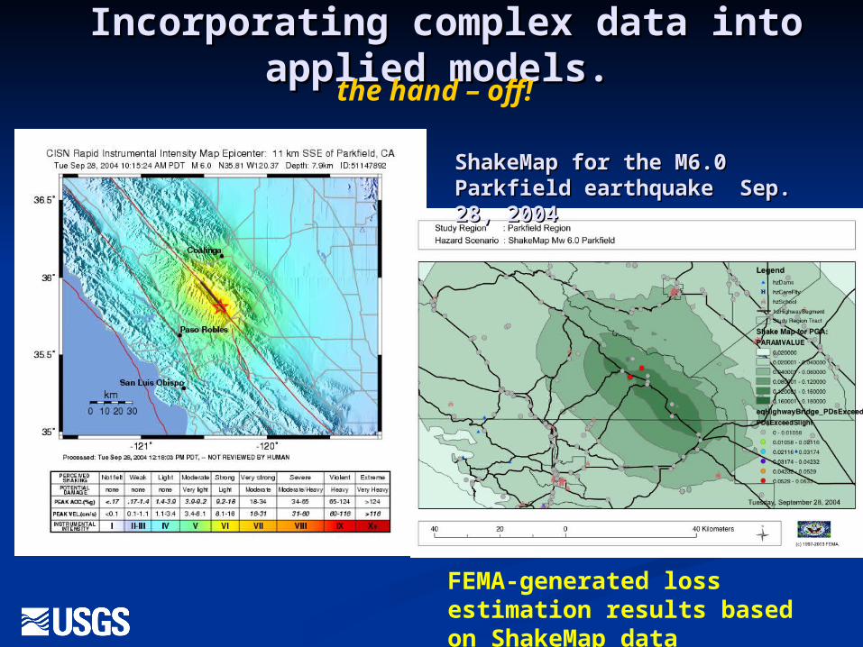
Incorporating complex data into Incorporating complex data into applied models.applied models.
ShakeMap for the M6.0 ShakeMap for the M6.0 Parkfield earthquake Sep. Parkfield earthquake Sep. 28, 200428, 2004
FEMA-generated loss estimation results based on ShakeMap data
the hand – off!
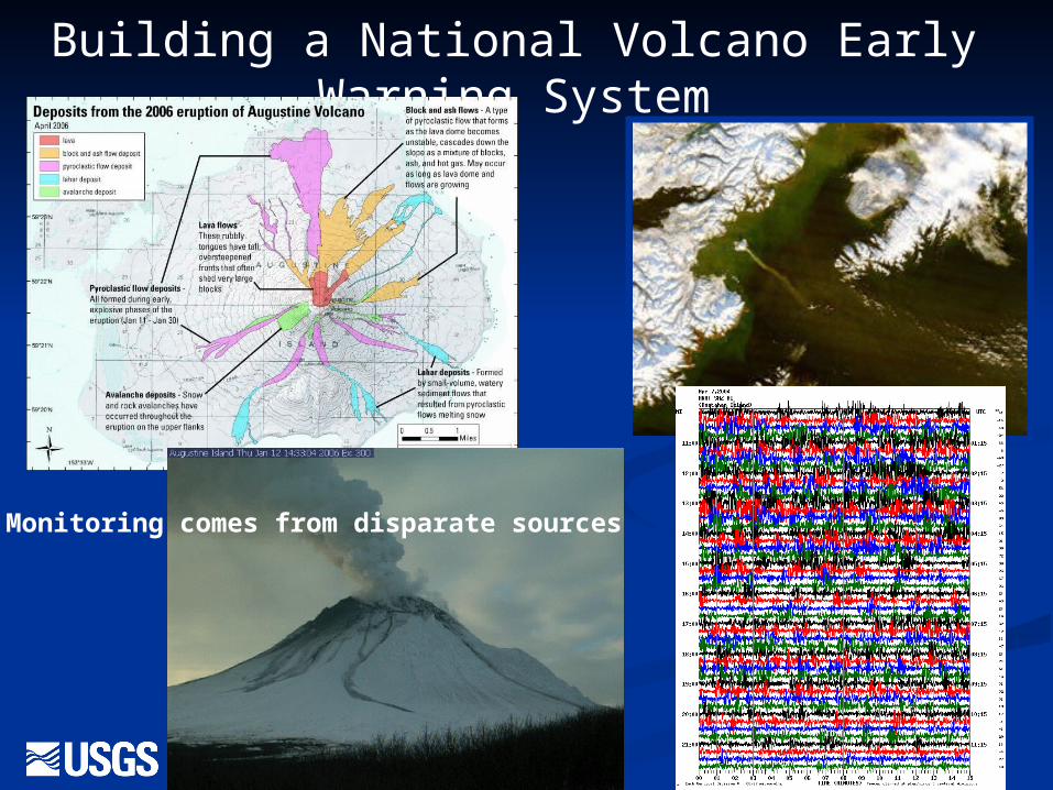
Building a National Volcano Early Warning System
Monitoring comes from disparate sources
A New Opportunity – National A New Opportunity – National Geological and Geophysical Geological and Geophysical
Data Preservation Program Act Data Preservation Program Act of 2005of 2005
Directs the USGS to establish the Program, Directs the USGS to establish the Program, authorized at $30M per year for 5 years to:authorized at $30M per year for 5 years to:
Archive geologic, geophysical, and Archive geologic, geophysical, and engineering data, maps, well logs, and engineering data, maps, well logs, and samplessamples
Provide a Provide a National CatalogNational Catalog of archived of archived materialmaterial
Provide technical and financial assistance Provide technical and financial assistance related to research and preservation of related to research and preservation of archived materialarchived material
Includes land management agencies and the Includes land management agencies and the state geological surveys, (many of which are state geological surveys, (many of which are associated with universities)associated with universities)
In Summary: Bring it In Summary: Bring it Together Through Together Through
Communities of PracticeCommunities of PracticeDevelop a shared repertoire of Develop a shared repertoire of
resources: experiences, stories, resources: experiences, stories, tools, vocabularies, ways of tools, vocabularies, ways of addressing recurring problems. This addressing recurring problems. This takes time and sustained takes time and sustained interaction. Standards of practice interaction. Standards of practice and reference materials will grow and reference materials will grow out of this. But the critical benefits out of this. But the critical benefits include: creating and sustaining include: creating and sustaining knowledge, leveraging of resources, knowledge, leveraging of resources, and rapid learning and innovation.and rapid learning and innovation.