Embed Size (px)
Citation preview
Census
Programme
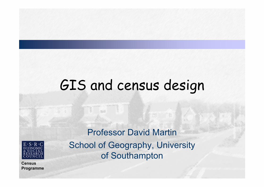
GIS and census design
Professor David Martin
School of Geography, University
of Southampton

Census
Programme
GIS and census design: what’s the connection?

Census
Programme
What’s the connection?
• Census as driver for
neighbourhood geographies
• GIS for census geography design
• Neighbourhood definitions
prominent in public policy
Census
Programme
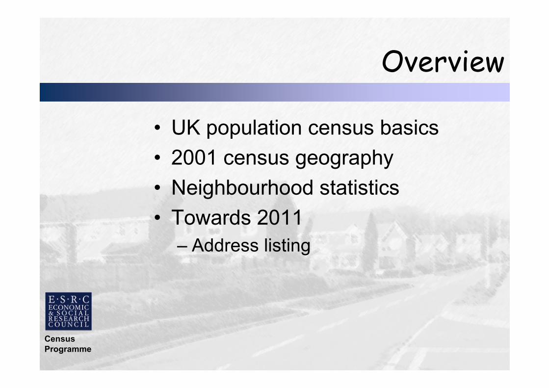
Overview
• UK population census basics
• 2001 census geography
• Neighbourhood statistics
• Towards 2011
– Address listing

Census
Programme
UK population census: basics
• 10-yearly data collection
• Questionnaire delivered
to every household
• Legal obligation: 96%
coverage
• Multiple uses and users
• Single most important
social data source for
small areas
Source: ons.gov.uk

Census
Programme
Census topics
• Age, sex, marital status,
household structure
• Country of birth/ethnicity
• Health/disability
• Economic status
• Housing, amenities
• Travel to work and cars
• Qualifications
Source: ons.gov.uk

Census
Programme
100+ years of census mapping
Charles Booth: poverty
in Pimlico 1898-9
Neighbourhood
Statistics: households lacking amenities 2001
Source: neighbourhood.statistics.gov.uk
Source: booth.lse.ac.uk

Census
Programme
Need for information
• Policy Action Team 18:
Neighbourhood policy requires
accessible baseline data
• No definitive neighbourhoods
• Definitional anarchy
– Neighbourhood,
– community, ward,
– catchment…
Census
Programme
2001 census geography
Census
Programme
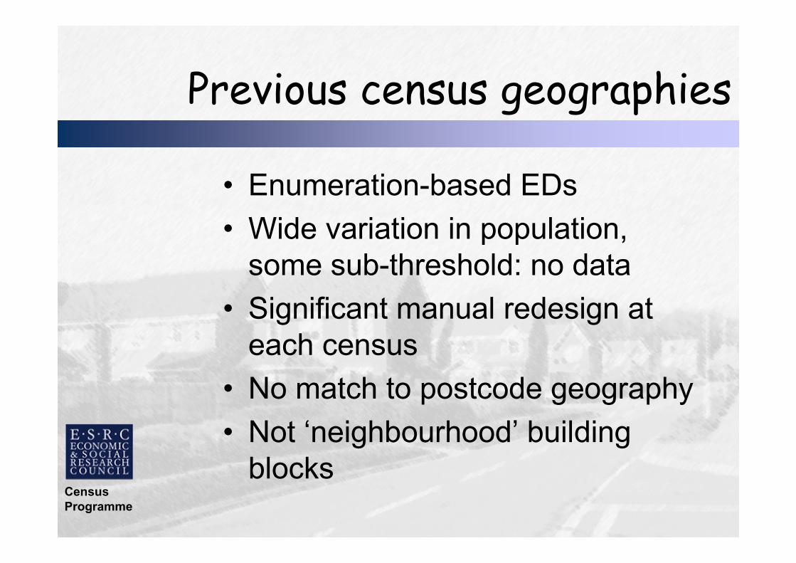
Previous census geographies
• Enumeration-based EDs
• Wide variation in population,
some sub-threshold: no data
• Significant manual redesign at
each census
• No match to postcode geography
• Not ‘neighbourhood’ building
blocks
Census
Programme
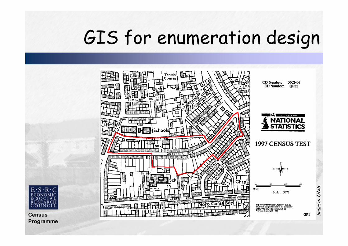
GIS for enumeration design
Source: ONS

Census
Programme
Case for redesign
• Demands from census users:
– Postcode and statutory geographies
– Uniformity of population sizes (all above
threshold)
– Control over shape (observe settlement
pattern and topographic features)
– Internal homogeneity of population
– Compatibility with previous census
geographies!

Census
Programme
Overview of design methods
• Synthetic unit postcode building block
polygons
– Nesting within wards (Dec 2002) and
parishes, incorporating topographic
features
• Automated zoning procedure
– Iteratively recombination of building
blocks seeking best trade-off of design
constraints

Census
Programme
Address-based Thiessen polygons
• Thiessen polygons
around individual
ADDRESS-POINTS
intersected with ED,
ward, parish
boundaries and road
centrelines

Census
Programme
Unit postcode building blocks
• Address polygon
boundaries dissolved
to form unit postcode
polygon building
blocks

Census
Programme
AZP (Openshaw, 1977)
• Initial random aggregation of building
blocks into output areas within ward
or parish polygon
• Compute design statistics
• Evaluate effect of possible swaps of
building blocks between output areas
• Keep swaps that improve the overall
solution

Census
Programme
Automated output area design
Group addresses into
postcode building blocks
Group addresses into
postcode building blocks
Automated GIS-based
output area design
procedure
Automated GIS-based
output area design
procedure
Design Constraints
(Contiguity, Thresholds,
Shape, Size, Homogeneity)
Design Constraints
(Contiguity, Thresholds,
Shape, Size, Homogeneity)
2001 Output
Areas
2001 Output
Areas

Census
Programme
OA design (1)
Initial random
aggregation of
postcodes into
potential output
areas

Census
Programme
OA design (2)
Choose one
postcode at
random as
candidate for
swapping into a
different output
area

Census
Programme
OA design (3)
Make the swap
and evaluate the
impact on the
overall solution

Census
Programme
OA design (4)
If swap does not
result in an
improvement, go
back to the
previous
configuration

Census
Programme
OA design (5)
Choose another
postcode at
random as
candidate for
swapping into
another output
area

Census
Programme
OA design (6)
If the swap results
in an overall
improvement,
keep it as part of
the solution and
examine a new
potential swap…
Census
Programme
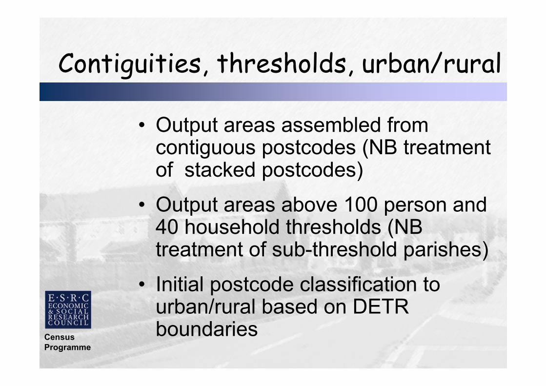
Contiguities, thresholds, urban/rural
• Output areas assembled from contiguous postcodes (NB treatment of stacked postcodes)
• Output areas above 100 person and 40 household thresholds (NB treatment of sub-threshold parishes)
• Initial postcode classification to urban/rural based on DETR boundaries

Census
Programme
Size and shape
• Output areas should be as
uniformly sized as possible; target
125 households
minimize Σ(OApop-target)2
• Output areas should be as compact as possible
minimize distance to OA centroid…

Census
Programme
Distance to OA centroid
PC mean
centroid
OA centroid
Census
Programme
Intra area correlations
• Maximize intra-area correlations
(IAC): ratio of area level to individual
level variance
• Higher correlations ~ greater internal
homogeneity
• Tenure (4) and dwelling type (7)
categories used
Census
Programme
Combination of constraints
• All constraint statistics recomputed at
each iteration
• Must always meet contiguity and
threshold requirements; urban/rural if
possible above threshold
• Population, shape and homogeneity
constraints combined with equal
weighting

Census
Programme
Digital census geography
• 2001 Output
Areas (England
and Wales)
• Mean 297
persons; 123
households

Census
Programme
UK geography?
• Northern Ireland: same algorithm
as England and Wales but
digitized postcode boundaries
• Scotland: own algorithm to
maximise continuity with 1991
output areas

Census
Programme
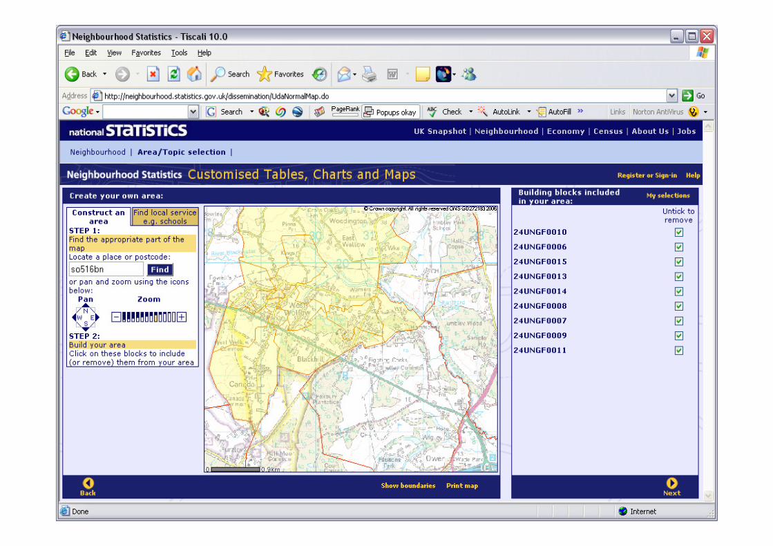
Neighbourhood statistics
Census
Programme
Neighbourhood statistics
• NeSS as primary delivery
mechansim – originally 1998 wards
• Addition of census, and
administrative data streams
• Post-2001 geography built on
postcode > census output area >
Super OA
• Cannot continually reconstruct
small areas: data confidentiality

Census
Programme
NeSS geography
• Aggregated source records from
multiple suppliers
• Single hierarchy based on census
OAs (and hence primarily on
postcodes, with lookup tables)
• Estimation of attribute values to
standard geography if necessary
• Intended as durable core geography

Census
Programme
• OAs as building blocks of NeSS
geography
• “Lower” (pop mean 1500; n=35000)
– Automated zone design, nesting within
census wards: now created
• “Middle” (pop mean 7500; n=7000)
– Automated design, not constrained to
wards, some local consultation
Super Output Areas

Census
Programme
Key
Lower Layer Zones
Greenwich lower layer SOAs

Census
Programme
New SOA data streams
• Indices of Deprivation 2004,
2007
• Fires attended
• National curriculum assessments
• Benefits claimants
• Land use
• Air quality
Census
Programme
Census
Programme

Census
Programme
Census
Programme
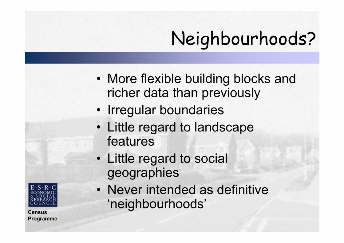
Neighbourhoods?
• More flexible building blocks and richer data than previously
• Irregular boundaries
• Little regard to landscape features
• Little regard to social geographies
• Never intended as definitive ‘neighbourhoods’

Census
Programme
Towards 2011

Census
Programme
Towards 2011
• Essentially conventional 2011
census
• Mail-out and mail-back
• Critical nature of address lists
• Internet data collection
• 4-page per person questionnaire
• Big focus on population count

Census
Programme

Census
Programme
Complex geography requirements
• Stability and change
• Data supply
• Landscape features
• Social homogeneity
• Reflect contemporary housing
development
• ‘Real’ neighbourhoods!
Census
Programme
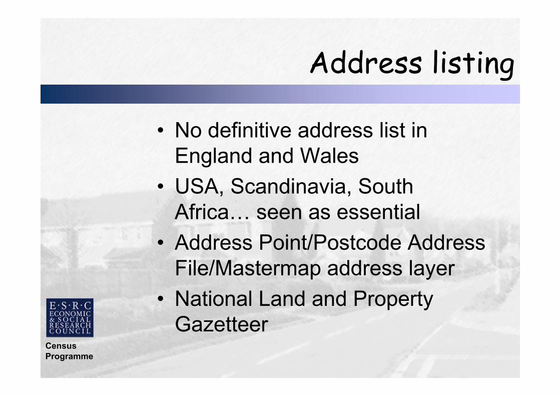
Address listing
• No definitive address list in
England and Wales
• USA, Scandinavia, South
Africa… seen as essential
• Address Point/Postcode Address
File/Mastermap address layer
• National Land and Property
Gazetteer

Census
Programme
Address strategy
• Use combination of OS
Mastermap AL 2 and NLPG
• Pre-listing and checking by
enumerators
• Can the information be shared?
• Counting the Population review –
possible action on addressing?
Census
Programme
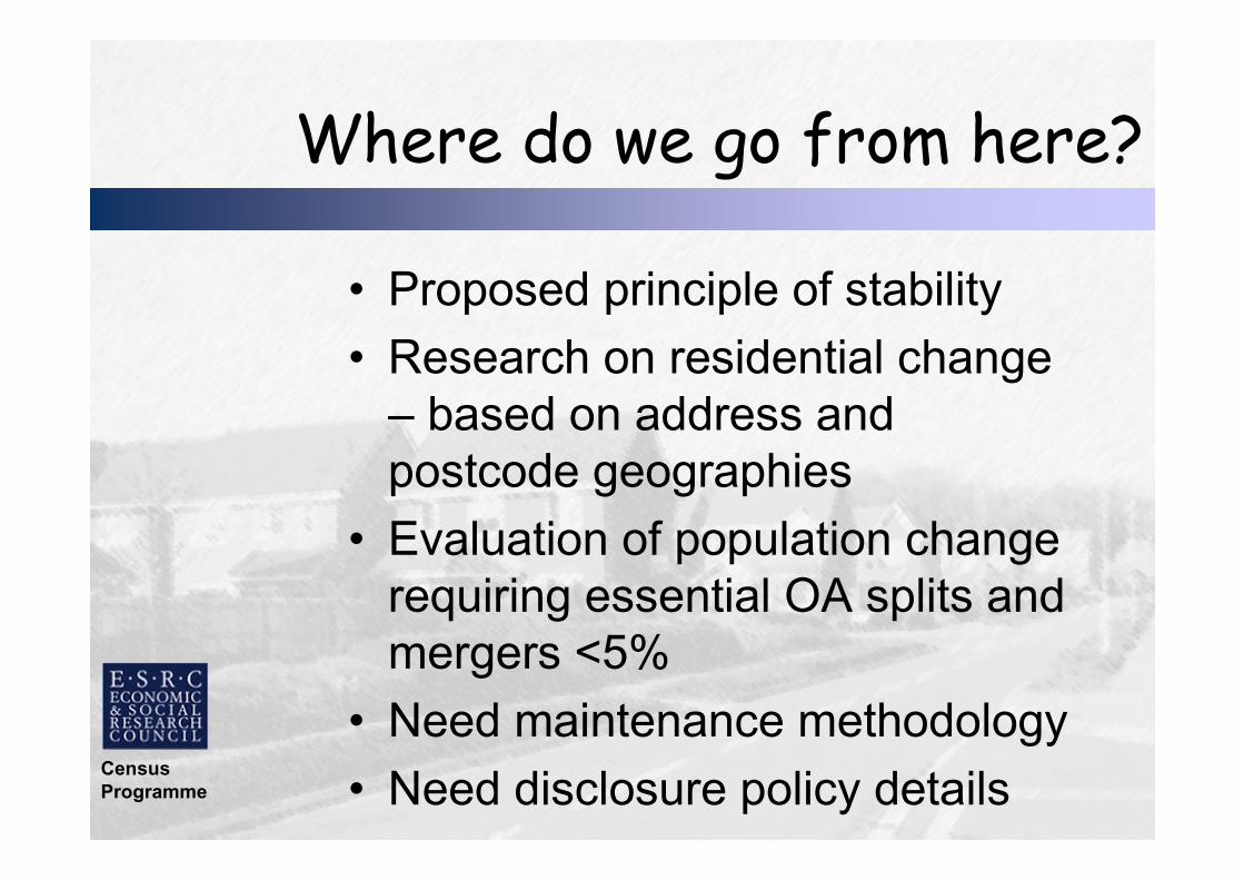
Where do we go from here?
• Proposed principle of stability
• Research on residential change
– based on address and
postcode geographies
• Evaluation of population change
requiring essential OA splits and
mergers <5%
• Need maintenance methodology
• Need disclosure policy details

Census
Programme
UK geography?
• Northern Ireland: total change -
enforced
• Scotland: minimal change –
consulting now
• Convergence to whole-UK
approach extremely unlikely
• Counting the Population –
definitive address list???
Census
Programme
Research…
• Methods for improving OA
boundaries
• Data ownership issues more
important barriers than technical
ones
• How best to reflect housing
change?
• Small area geography beyond
census?