Embed Size (px)
Citation preview
Introduction to geographical data and
GIS
Carol BlackwoodUK Data ServiceEDINA
UK Data Service Census Support census geography courseUniversity of Edinburgh6th June 2013
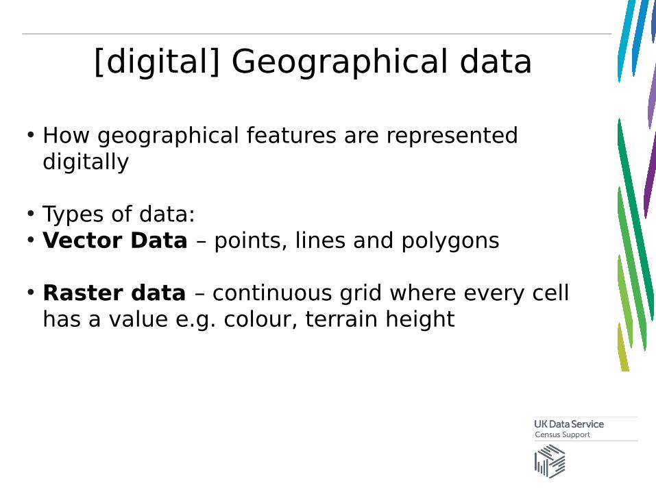
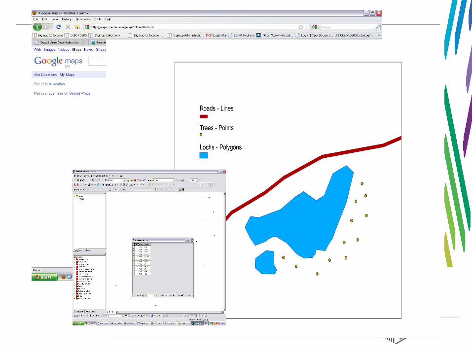
[digital] Geographical data
• How geographical features are represented digitally
• Types of data:• Vector Data – points, lines and polygons
• Raster data – continuous grid where every cell has a value e.g. colour, terrain height
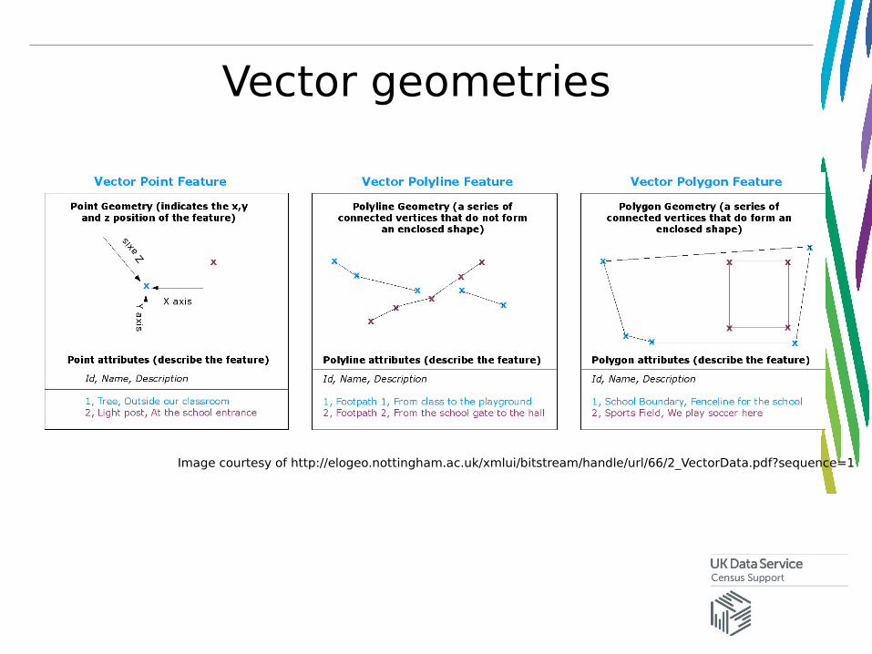
Vector geometries
Image courtesy of http://elogeo.nottingham.ac.uk/xmlui/bitstream/handle/url/66/2_VectorData.pdf?sequence=1
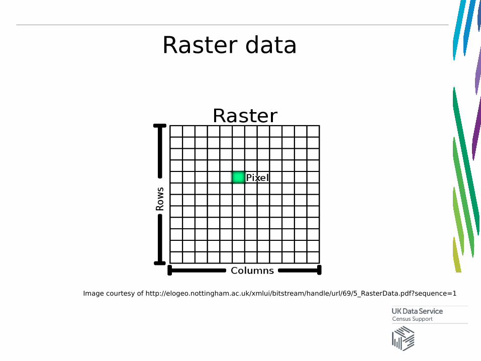
Raster data
Image courtesy of http://elogeo.nottingham.ac.uk/xmlui/bitstream/handle/url/69/5_RasterData.pdf?sequence=1
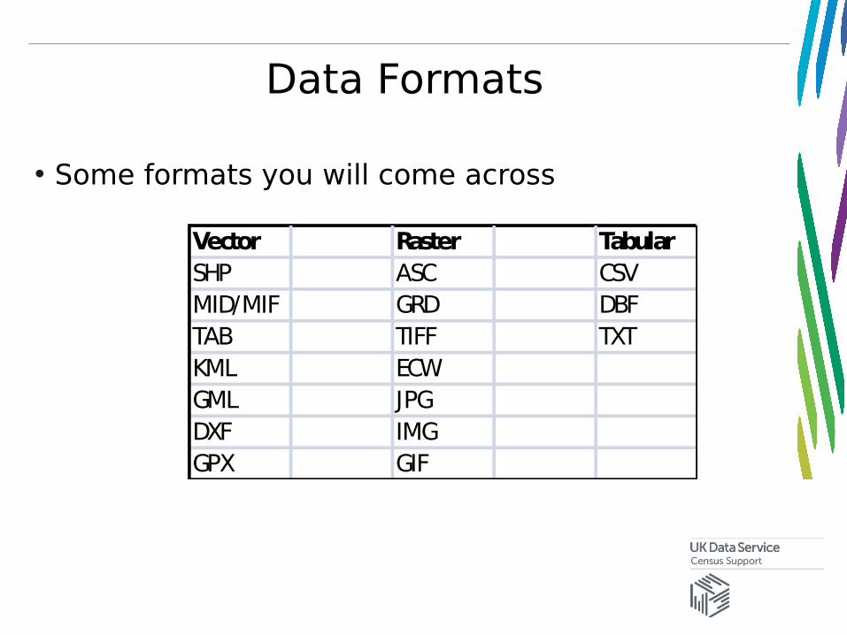
Data Formats
• Some formats you will come across
Vector Raster TabularSHP ASC CSVMID/MIF GRD DBFTAB TIFF TXTKML ECWGML JPGDXF IMGGPX GIF
GIS – Geographical Information Systems
• We use GIS applications to handle spatial data
• Computer-based information systems to aid solving spatial problems and decision making
• “a system for capturing, storing, checking, integrating, manipulating analysing and displaying data which are spatially referenced to the Earth” (DOE 1987)
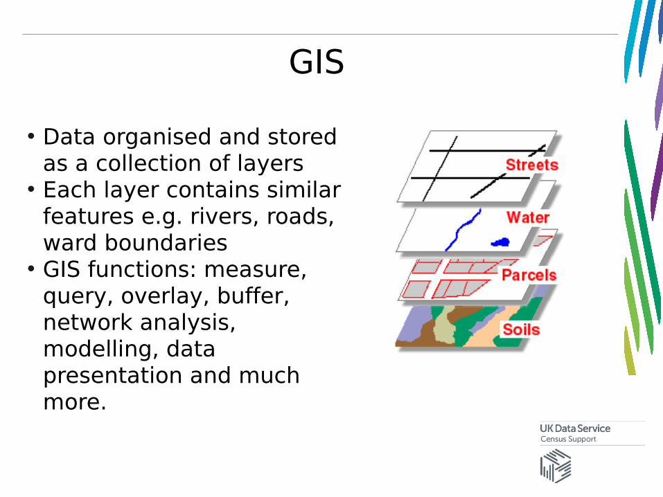
GIS
• Data organised and stored as a collection of layers
• Each layer contains similar features e.g. rivers, roads, ward boundaries
• GIS functions: measure, query, overlay, buffer, network analysis, modelling, data presentation and much more.
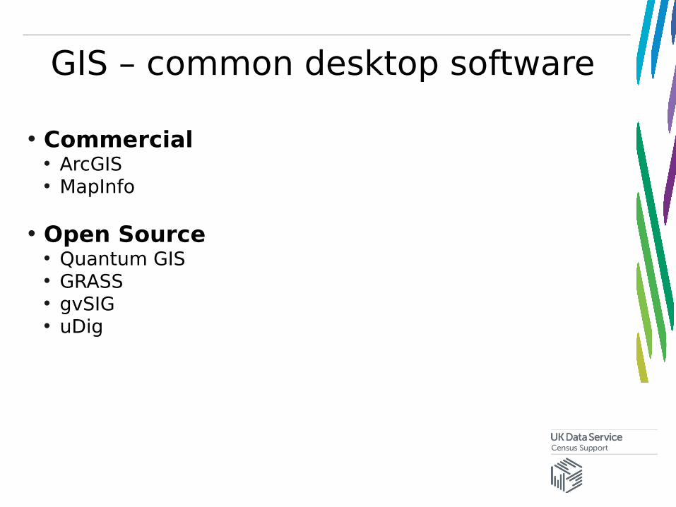
GIS – common desktop software
• Commercial• ArcGIS • MapInfo
• Open Source• Quantum GIS• GRASS• gvSIG• uDig
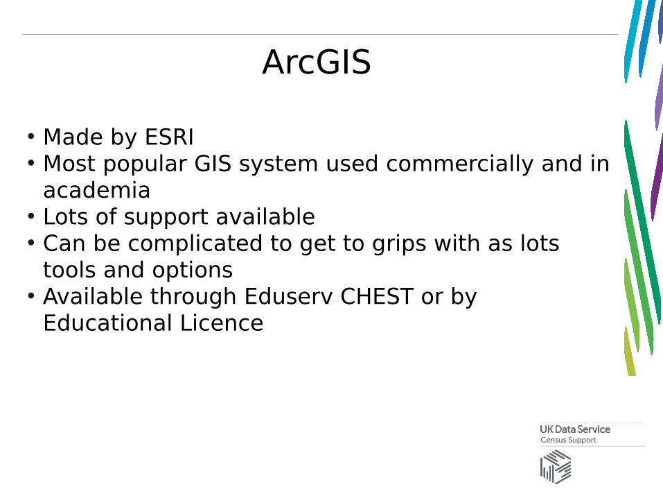
ArcGIS
• Made by ESRI• Most popular GIS system used commercially and in
academia• Lots of support available • Can be complicated to get to grips with as lots
tools and options• Available through Eduserv CHEST or by
Educational Licence
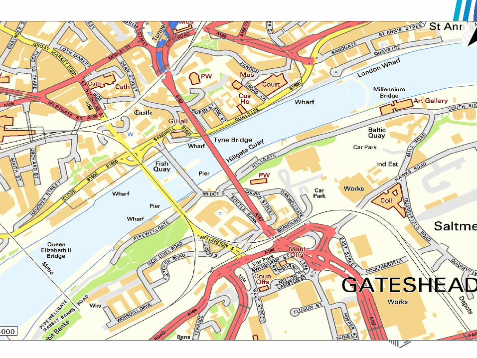
Mapping with GIS
• Core function of any GIS is creating and displaying maps
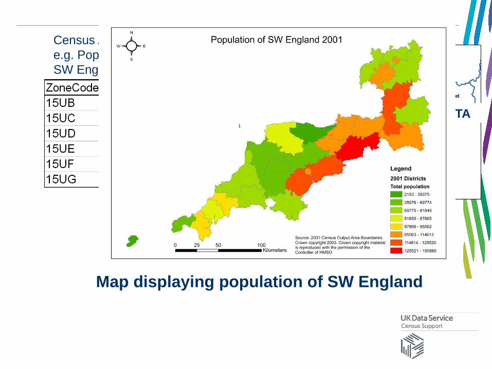
District outlines
DIGITAL BOUNDARY DATA
Census Aggregate Statisticse.g. Population by district of SW England
=
Map displaying population of SW England
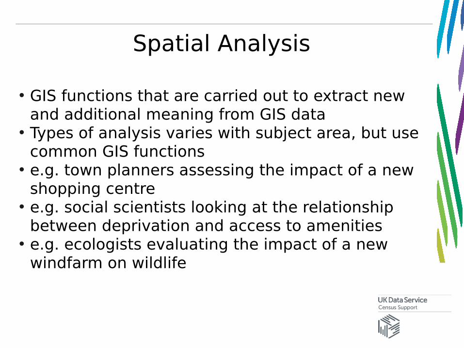
Spatial Analysis
• GIS functions that are carried out to extract new and additional meaning from GIS data
• Types of analysis varies with subject area, but use common GIS functions
• e.g. town planners assessing the impact of a new shopping centre
• e.g. social scientists looking at the relationship between deprivation and access to amenities
• e.g. ecologists evaluating the impact of a new windfarm on wildlife
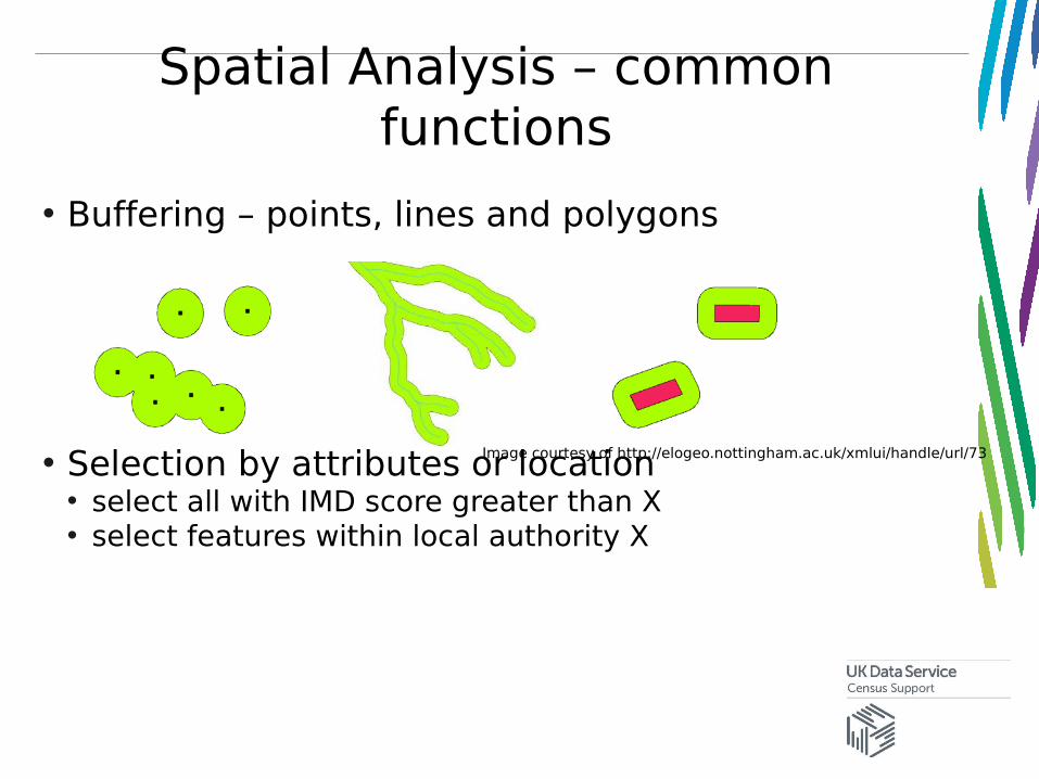
Spatial Analysis – common functions
• Buffering – points, lines and polygons
• Selection by attributes or location• select all with IMD score greater than X• select features within local authority X
Image courtesy of http://elogeo.nottingham.ac.uk/xmlui/handle/url/73
Spatial Analysis – common functions
• Measurements • How many KM between point X and point Y• What is the area of these parcels of land?
• Interpolation• Use rainfall values from weather stations to create an
average rainfall surface
Practical Exercise A
• Practice adding different datasets into ArcMap
• Amend layer symbology
• Select vector map features