Embed Size (px)
Citation preview
U.S. Department of the InteriorU.S. Geological Survey
November 2008
Ground Water
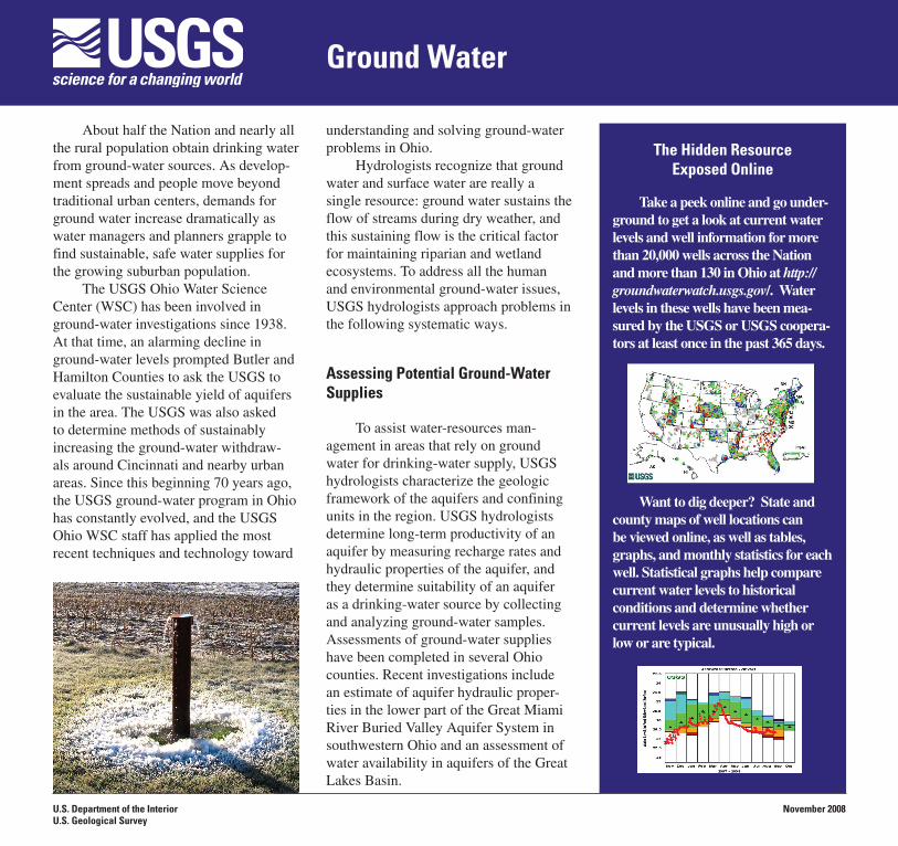
About half the Nation and nearly all the rural population obtain drinking water from ground-water sources. As develop-ment spreads and people move beyond traditional urban centers, demands for ground water increase dramatically as water managers and planners grapple to find sustainable, safe water supplies for the growing suburban population.
The USGS Ohio Water Science Center (WSC) has been involved in ground-water investigations since 1938. At that time, an alarming decline in ground-water levels prompted Butler and Hamilton Counties to ask the USGS to evaluate the sustainable yield of aquifers in the area. The USGS was also asked to determine methods of sustainably increasing the ground-water withdraw-als around Cincinnati and nearby urban areas. Since this beginning 70 years ago, the USGS ground-water program in Ohio has constantly evolved, and the USGS Ohio WSC staff has applied the most recent techniques and technology toward
understanding and solving ground-water problems in Ohio.
Hydrologists recognize that ground water and surface water are really a single resource: ground water sustains the flow of streams during dry weather, and this sustaining flow is the critical factor for maintaining riparian and wetland ecosystems. To address all the human and environmental ground-water issues, USGS hydrologists approach problems in the following systematic ways.
Assessing Potential Ground-Water Supplies
To assist water-resources man-agement in areas that rely on ground water for drinking-water supply, USGS hydrologists characterize the geologic framework of the aquifers and confining units in the region. USGS hydrologists determine long-term productivity of an aquifer by measuring recharge rates and hydraulic properties of the aquifer, and they determine suitability of an aquifer as a drinking-water source by collecting and analyzing ground-water samples. Assessments of ground-water supplies have been completed in several Ohio counties. Recent investigations include an estimate of aquifer hydraulic proper-ties in the lower part of the Great Miami River Buried Valley Aquifer System in southwestern Ohio and an assessment of water availability in aquifers of the Great Lakes Basin.
The Hidden Resource Exposed Online
Take a peek online and go under-ground to get a look at current water levels and well information for more than 20,000 wells across the Nation and more than 130 in Ohio at http://groundwaterwatch.usgs.gov/. Water levels in these wells have been mea-sured by the USGS or USGS coopera-tors at least once in the past 365 days.
Want to dig deeper? State and county maps of well locations can be viewed online, as well as tables, graphs, and monthly statistics for each well. Statistical graphs help compare current water levels to historical conditions and determine whether current levels are unusually high or low or are typical.
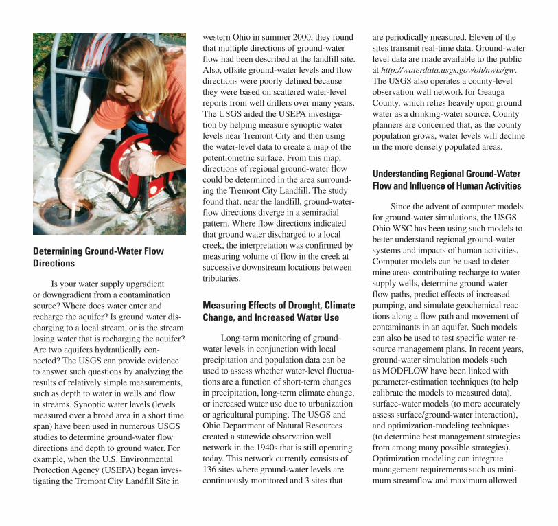
Determining Ground-Water Flow Directions
Is your water supply upgradient or downgradient from a contamination source? Where does water enter and recharge the aquifer? Is ground water dis-charging to a local stream, or is the stream losing water that is recharging the aquifer? Are two aquifers hydraulically con-nected? The USGS can provide evidence to answer such questions by analyzing the results of relatively simple measurements, such as depth to water in wells and flow in streams. Synoptic water levels (levels measured over a broad area in a short time span) have been used in numerous USGS studies to determine ground-water flow directions and depth to ground water. For example, when the U.S. Environmental Protection Agency (USEPA) began inves-tigating the Tremont City Landfill Site in
western Ohio in summer 2000, they found that multiple directions of ground-water flow had been described at the landfill site. Also, offsite ground-water levels and flow directions were poorly defined because they were based on scattered water-level reports from well drillers over many years. The USGS aided the USEPA investiga-tion by helping measure synoptic water levels near Tremont City and then using the water-level data to create a map of the potentiometric surface. From this map, directions of regional ground-water flow could be determined in the area surround-ing the Tremont City Landfill. The study found that, near the landfill, ground-water-flow directions diverge in a semiradial pattern. Where flow directions indicated that ground water discharged to a local creek, the interpretation was confirmed by measuring volume of flow in the creek at successive downstream locations between tributaries.
Measuring Effects of Drought, Climate Change, and Increased Water Use
Long-term monitoring of ground-water levels in conjunction with local precipitation and population data can be used to assess whether water-level fluctua-tions are a function of short-term changes in precipitation, long-term climate change, or increased water use due to urbanization or agricultural pumping. The USGS and Ohio Department of Natural Resources created a statewide observation well network in the 1940s that is still operating today. This network currently consists of 136 sites where ground-water levels are continuously monitored and 3 sites that
are periodically measured. Eleven of the sites transmit real-time data. Ground-water level data are made available to the public at http://waterdata.usgs.gov/oh/nwis/gw. The USGS also operates a county-level observation well network for Geauga County, which relies heavily upon ground water as a drinking-water source. County planners are concerned that, as the county population grows, water levels will decline in the more densely populated areas.
Understanding Regional Ground-Water Flow and Influence of Human Activities
Since the advent of computer models for ground-water simulations, the USGS Ohio WSC has been using such models to better understand regional ground-water systems and impacts of human activities. Computer models can be used to deter-mine areas contributing recharge to water-supply wells, determine ground-water flow paths, predict effects of increased pumping, and simulate geochemical reac-tions along a flow path and movement of contaminants in an aquifer. Such models can also be used to test specific water-re-source management plans. In recent years, ground-water simulation models such as MODFLOW have been linked with parameter-estimation techniques (to help calibrate the models to measured data), surface-water models (to more accurately assess surface/ground-water interaction), and optimization-modeling techniques (to determine best management strategies from among many possible strategies). Optimization modeling can integrate management requirements such as mini-mum streamflow and maximum allowed
ground-water-level decline, along with a set of possible management options (such as several possible locations and pumping rates for a new water-supply well). From this information, the model can help deter-mine the single management strategy that best meets the specified requirements.
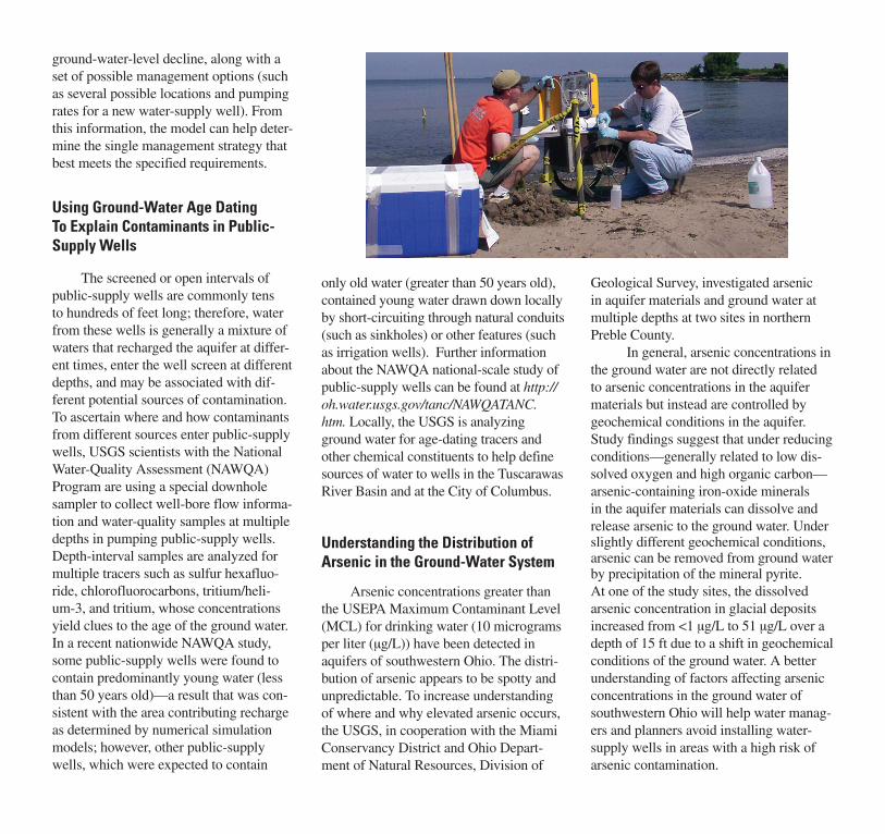
Using Ground-Water Age Dating To Explain Contaminants in Public-Supply Wells
The screened or open intervals of public-supply wells are commonly tens to hundreds of feet long; therefore, water from these wells is generally a mixture of waters that recharged the aquifer at differ-ent times, enter the well screen at different depths, and may be associated with dif-ferent potential sources of contamination. To ascertain where and how contaminants from different sources enter public-supply wells, USGS scientists with the National Water-Quality Assessment (NAWQA) Program are using a special downhole sampler to collect well-bore flow informa-tion and water-quality samples at multiple depths in pumping public-supply wells. Depth-interval samples are analyzed for multiple tracers such as sulfur hexafluo-ride, chlorofluorocarbons, tritium/heli-um-3, and tritium, whose concentrations yield clues to the age of the ground water. In a recent nationwide NAWQA study, some public-supply wells were found to contain predominantly young water (less than 50 years old)—a result that was con-sistent with the area contributing recharge as determined by numerical simulation models; however, other public-supply wells, which were expected to contain
only old water (greater than 50 years old), contained young water drawn down locally by short-circuiting through natural conduits (such as sinkholes) or other features (such as irrigation wells). Further information about the NAWQA national-scale study of public-supply wells can be found at http://oh.water.usgs.gov/tanc/NAWQATANC.htm. Locally, the USGS is analyzing ground water for age-dating tracers and other chemical constituents to help define sources of water to wells in the Tuscarawas River Basin and at the City of Columbus.
Understanding the Distribution of Arsenic in the Ground-Water System
Arsenic concentrations greater than the USEPA Maximum Contaminant Level (MCL) for drinking water (10 micrograms per liter (µg/L)) have been detected in aquifers of southwestern Ohio. The distri-bution of arsenic appears to be spotty and unpredictable. To increase understanding of where and why elevated arsenic occurs, the USGS, in cooperation with the Miami Conservancy District and Ohio Depart-ment of Natural Resources, Division of
Geological Survey, investigated arsenic in aquifer materials and ground water at multiple depths at two sites in northern Preble County.
In general, arsenic concentrations in the ground water are not directly related to arsenic concentrations in the aquifer materials but instead are controlled by geochemical conditions in the aquifer. Study findings suggest that under reducing conditions—generally related to low dis-solved oxygen and high organic carbon—arsenic-containing iron-oxide minerals in the aquifer materials can dissolve and release arsenic to the ground water. Under slightly different geochemical conditions, arsenic can be removed from ground water by precipitation of the mineral pyrite. At one of the study sites, the dissolved arsenic concentration in glacial deposits increased from <1 µg/L to 51 µg/L over a depth of 15 ft due to a shift in geochemical conditions of the ground water. A better understanding of factors affecting arsenic concentrations in the ground water of southwestern Ohio will help water manag-ers and planners avoid installing water-supply wells in areas with a high risk of arsenic contamination.
Assessing Effectiveness of Best Management Practices for Runoff
Increased development usually means more buildings and associated support structures such as roads and storm sewers. These structures are usually less pervious than the predevelopment land type and therefore increase the amount of runoff that makes it to streams. Some methods of limiting the impacts of the increased runoff are to (1) design and build rain gardens, (2) construct bioretention swales, and (3) use porous pavers to allow infiltra-tion of some of the runoff. To test these best management practices, the USGS has partnered with the Chagrin River Water-shed Partners to collect the data needed to document the performance of a combina-tion of all three methods. Over the next three years, USGS hydrologists will moni-tor precipitation, air and water tempera-ture, water conductivity, runoff quantity, and infiltration characteristics at four loca-tions within the Chagrin Watershed.
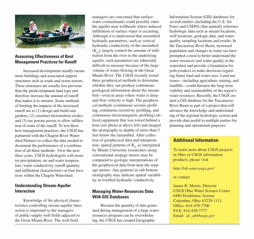
Understanding Stream-Aquifer Interaction
Knowledge of the physical charac-teristics controlling stream-aquifer inter-action is important to the managers of public-supply well fields adjacent to the Great Miami River. The well-field
managers are concerned that surface-water contaminants could possibly enter the aquifer near wellheads where induced infiltration of surface water is occurring. Although it is understood that streambed hydraulic parameters, such as vertical hydraulic conductivity of the streambed (K
sb), largely control the amount of infil-
tration from the river to the underlying aquifer, such parameters are inherently difficult to measure because of the large volume of water flowing in the Great Miami River. The USGS recently tested three geophysical methods to determine whether they can produce continuous geological information about the stream-bed—even in areas where water is deep and flow velocity is high. The geophysi-cal methods (continuous seismic profil-ing, continuous resistivity profiling, and continuous electromagnetic profiling) uti-lized equipment that was towed behind a boat (see photo at above left) and imaged the stratigraphy to depths of more than 5 feet below the streambed. After collec-tion of geophysical data and interpreta-tion, spatial patterns of K
sb as interpreted
by Miami University researchers using conventional seepage meters may be compared to geologic interpretations of the geophysical data from near the seep-age meters. Any patterns in sub-bottom stratigraphy may indicate spatial variabil-ity in riverbed hydraulic conductivity.
Managing Water-Resources Data With GIS Databases
Because the quantity of data gener-ated during management of a large water-resources program can be overwhelm-ing, the USGS has created Geographic
Information System (GIS) databases for several entities (including the U.S. Air Force and USEPA) that spatially reference hydrologic data such as stream locations, well locations, geologic data, and water-quality sampling locations and results. In the Tuscarawas River Basin, increased population and changes in water use have prompted a need to better understand the water resources and water quality in the watershed and provide a foundation for policymakers to make decisions regard-ing future land and water uses. Land-use issues—including agriculture, mining, and landfills—could threaten the long-term viability and sustainability of the region’s water resources. Recently, the USGS cre-ated a GIS database for the Tuscarawas River Basin as part of a project that will advance the knowledge and understand-ing of the regional hydrologic system and provide data useful to multiple parties for planning and operational purposes.
Additional Information
To learn more about USGS projects in Ohio or USGS information products, please visit
http://oh.water.usgs.gov/
or contact
James R. Morris, DirectorUSGS Ohio Water Science Center6480 Doubletree AvenueColumbus, Ohio 43229-1111Office: 614-430-7700FAX: 614-430-7777Email: [email protected]