Embed Size (px)
Citation preview

Imagery for the Nation and the Imagery for the Nation and the changing landscapechanging landscape
Remote sensing systems overviewRemote sensing systems overview
Geo-spatial requirements for GISGeo-spatial requirements for GIS
Technology advancements in sensing Technology advancements in sensing systems and platformssystems and platforms
Technology advancements in softwareTechnology advancements in software
Technological advancements in Technological advancements in visualizationvisualization
ConclusionsConclusions

Remote sensing systems overviewRemote sensing systems overview
Aerial photographyAerial photographyNational High Altitude Photography (NHAP) program (1980 – National High Altitude Photography (NHAP) program (1980 – 89). 89).
– goal reduce duplicate photography in various Federal goal reduce duplicate photography in various Federal Government programs. Government programs.
– cover the lower 48 states over a five year period with infrared cover the lower 48 states over a five year period with infrared aerial photography at 1:58,000 and black and white aerial photography at 1:58,000 and black and white photography at 1:80,000 based on the USGS 7.5” photography at 1:80,000 based on the USGS 7.5” Quadrangles. Quadrangles.
National Aerial Photography Program (NAPP) (1987-2003)National Aerial Photography Program (NAPP) (1987-2003)– larger scale imagery (i.e. 1: 40,000). larger scale imagery (i.e. 1: 40,000). – cost-sharing agreement with local government that required cost-sharing agreement with local government that required
higher resolution, photogrammetric quality aerial photography. higher resolution, photogrammetric quality aerial photography. – in return the local government would provide ortho-images back in return the local government would provide ortho-images back
to the Federal Government. to the Federal Government.

Early Satellite imaging Early Satellite imaging – Landsat I (1972) first comprehensive coverage of the Landsat I (1972) first comprehensive coverage of the
planet. planet. 90 meter resolution four band (MSS) 90 meter resolution four band (MSS) (RBV) systems (RBV) systems
– Six other Landsat systems to follow Six other Landsat systems to follow ““latest” (i.e. 1999) being Landsat 7 ETM latest” (i.e. 1999) being Landsat 7 ETM
– six multispectral 30 meter bandssix multispectral 30 meter bands– one 15 meter Panchromatic bandone 15 meter Panchromatic band– and its one 60 meter thermal bandand its one 60 meter thermal band
– Landsat Data Continuity Mission (LDCM)Landsat Data Continuity Mission (LDCM)5 meter TM type sensor???5 meter TM type sensor???
Remote sensing systems overviewRemote sensing systems overview

Remote sensing systems overviewRemote sensing systems overview
A new era: private sector high resolution spaced-based imaging A new era: private sector high resolution spaced-based imaging – IKONOS in 1999 represented two firsts: 082 meters panchromaticIKONOS in 1999 represented two firsts: 082 meters panchromatic
3.2 meters multispectral3.2 meters multispectralGeo-location accuracy < 5 meters CE90[with GCP& DEMGeo-location accuracy < 5 meters CE90[with GCP& DEM
– Quckbird system in 2001 with specifications of:Quckbird system in 2001 with specifications of:0.61 meters panchromatic0.61 meters panchromatic2.4 meters multispectral2.4 meters multispectralGeo-location accuracy < 5 meters CE90 with GCP & DEMGeo-location accuracy < 5 meters CE90 with GCP & DEM
– WorldView-1 in 2007WorldView-1 in 2007 0.50 meters panchromatic0.50 meters panchromaticGeo-location accuracy 3.0 – 7.6 meters CE90 with GCP & DEMGeo-location accuracy 3.0 – 7.6 meters CE90 with GCP & DEM
– GEOEYE-1 in August of 2008 with specifications of:GEOEYE-1 in August of 2008 with specifications of:0.41 meter panchromatic0.41 meter panchromatic1.65 meter multispectral1.65 meter multispectralGeo-location accuracy < 3 meters CE90 with GCP & DEGeo-location accuracy < 3 meters CE90 with GCP & DE
– WorldView-2 expected launch date mid-2009 with specifications of:WorldView-2 expected launch date mid-2009 with specifications of:0.46 meters panchromatic0.46 meters panchromatic1.82 meters multispectral (8 bands)1.82 meters multispectral (8 bands)Geo-location accuracy ~2.0 meters with GCP and DEMGeo-location accuracy ~2.0 meters with GCP and DEM
– GEOEYE-2 expected launch date 2011 with specifications of:GEOEYE-2 expected launch date 2011 with specifications of:0.25 meter panchromatic0.25 meter panchromatic??? Multispectral??? MultispectralGeo-location accuracy < 2.0 meters with GCP and DEM.Geo-location accuracy < 2.0 meters with GCP and DEM.

Central Park NYCCentral Park NYC

GEOEYE-1 GEOEYE-1 Kutztown, PAKutztown, PA
October 7, 2008October 7, 20081000 x in 10 years1000 x in 10 years

Kutztown GEOEYE-1Kutztown GEOEYE-1
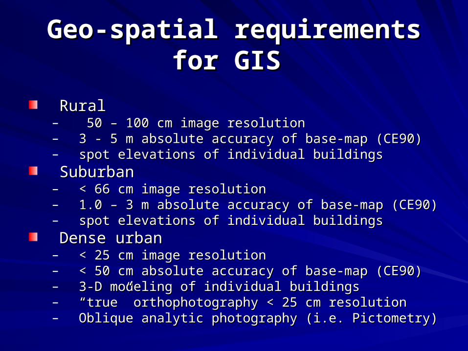
Geo-spatial requirements for GISGeo-spatial requirements for GIS
RuralRural– 50 – 100 cm image resolution50 – 100 cm image resolution– 3 - 5 m absolute accuracy of base-map (CE90)3 - 5 m absolute accuracy of base-map (CE90)– spot elevations of individual buildingsspot elevations of individual buildings
SuburbanSuburban– < 66 cm image resolution< 66 cm image resolution– 1.0 – 3 m absolute accuracy of base-map (CE90)1.0 – 3 m absolute accuracy of base-map (CE90)– spot elevations of individual buildingsspot elevations of individual buildings
Dense urbanDense urban– < 25 cm image resolution< 25 cm image resolution– < 50 cm absolute accuracy of base-map (CE90)< 50 cm absolute accuracy of base-map (CE90)– 3-D modeling of individual buildings 3-D modeling of individual buildings – ““true” orthophotography < 25 cm resolutiontrue” orthophotography < 25 cm resolution– Oblique analytic photography (i.e. Pictometry)Oblique analytic photography (i.e. Pictometry)

Technology advancements in Technology advancements in sensing systems and platformssensing systems and platforms
Advancements in Sensor systemsAdvancements in Sensor systems– Greater spatial, spectral, radiometric and temporal resolutionGreater spatial, spectral, radiometric and temporal resolution
Advancements in positioning systemsAdvancements in positioning systems– Airborne-GPSAirborne-GPS– Inertial Measurement Unit (IMU)Inertial Measurement Unit (IMU)
more stable satellite platformsmore stable satellite platforms
Above enables new sensor capabilitiesAbove enables new sensor capabilities
Digital camera < 4 cm resolutionDigital camera < 4 cm resolutionLIDAR absolute accuracy < 4cmLIDAR absolute accuracy < 4cmIncreased RADAR absolute accuracyIncreased RADAR absolute accuracyGreat absolute accuracy of spaced-based imagesGreat absolute accuracy of spaced-based images

Technology advancements in softwareTechnology advancements in software
Automated generation of elevation data Automated generation of elevation data Photogrammetrically through image Photogrammetrically through image matchingmatchingLIDAR as a source for DEM dataLIDAR as a source for DEM dataRADAR as a source for DEM dataRADAR as a source for DEM dataObject-based image analysis (i.e. E-Object-based image analysis (i.e. E-cognition) cognition) 3-D coordinates for geospatial objects 3-D coordinates for geospatial objects supported in GISsupported in GIS

Technological advancements in visualizationTechnological advancements in visualization
Seamless access to multi-scale imagery of the earth with integration Seamless access to multi-scale imagery of the earth with integration with other geographic layerswith other geographic layers
GOOGLE EarthGOOGLE Earth– 2.5-D2.5-D– 3-D Objects (i.e. buildings)3-D Objects (i.e. buildings)– street levelstreet level
ESRI ARC-SceneESRI ARC-Scene– 2.5-D2.5-D– 3-D objects (i.e. buildings)3-D objects (i.e. buildings)
Microsoft’s Virtual EarthMicrosoft’s Virtual Earth– 2.5-D2.5-D– bird’s eyebird’s eye– 3-D Objects (i.e. buildings)3-D Objects (i.e. buildings)
World WindWorld Wind

ConclusionConclusion
Lines are blurring between satellite-based remote Lines are blurring between satellite-based remote sensing systems and aircraft-based remote sensing sensing systems and aircraft-based remote sensing systemssystemsGiven the new tools for visualization and access of Given the new tools for visualization and access of global multi-scale remote sensing data the idea of global multi-scale remote sensing data the idea of public public domaindomain has been overtaken by the idea of has been overtaken by the idea of public accesspublic accessThis gives reason to explore licensing options for the This gives reason to explore licensing options for the IFTN projectIFTN projectHigh quality elevation models (DEMs) are essential for High quality elevation models (DEMs) are essential for high accuracy orthophotography such that these data high accuracy orthophotography such that these data sets can not be discussed separatelysets can not be discussed separatelyThe development of a new 5 meter TM like sensor The development of a new 5 meter TM like sensor should be deployed by the US government as part of the should be deployed by the US government as part of the LSCPLSCP

Dr. Sean AhearnDr. Sean AhearnNGAC MeetingNGAC Meeting
October 16, 2008October 16, 2008