Embed Size (px)
Citation preview
Intergraph Mobile GeoSpatial Products Bradley Skelton

The Mobile Revolution
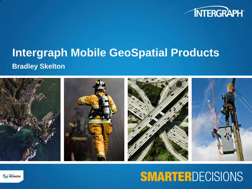
Everyone has a mobile or tablet device
3
• People always have their mobile device with them
• Mobile market growing exponentially
• People will soon access Internet through mobile over desktop
• Business and government organizations see a game-changing
opportunity
• Quickly developing business workflows on smart mobile devices.
3 3
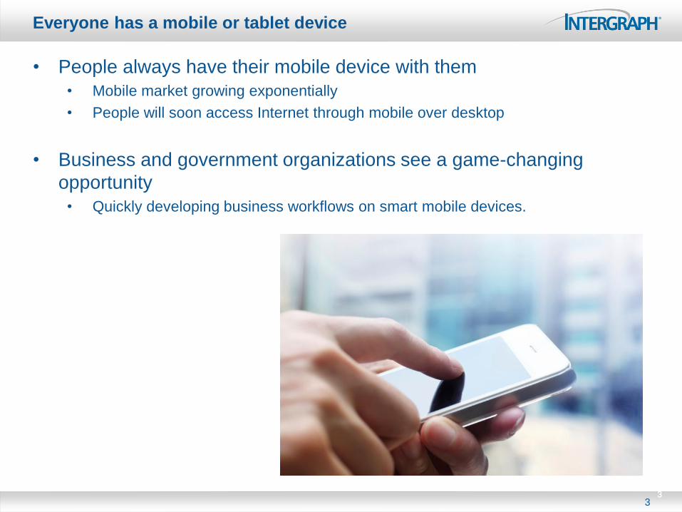
Game-changing opportunity
4
• Mobile enables organizations such as:
• Cadaster
• Rail
• Local governments
• Transportation authorities
• Public works
• Utilities
• Agriculture
• Forestry
• Transit
• Infrastructure
• Telecom
• Police
• To view, create, edit and update geospatial information
4 4
• in the field
• in real-time
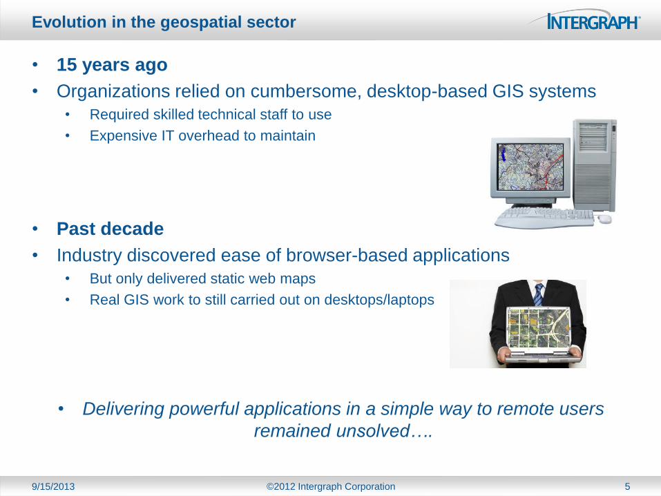
Evolution in the geospatial sector
9/15/2013 ©2012 Intergraph Corporation 5
• 15 years ago
• Organizations relied on cumbersome, desktop-based GIS systems
• Required skilled technical staff to use
• Expensive IT overhead to maintain
• Past decade
• Industry discovered ease of browser-based applications
• But only delivered static web maps
• Real GIS work to still carried out on desktops/laptops
• Delivering powerful applications in a simple way to remote users
remained unsolved….
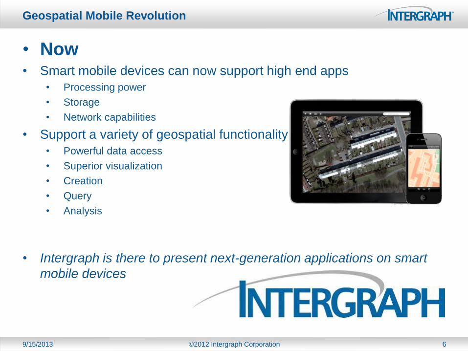
Geospatial Mobile Revolution
9/15/2013 ©2012 Intergraph Corporation 6
• Now • Smart mobile devices can now support high end apps
• Processing power
• Storage
• Network capabilities
• Support a variety of geospatial functionality
• Powerful data access
• Superior visualization
• Creation
• Query
• Analysis
• Intergraph is there to present next-generation applications on smart
mobile devices
What does Intergraph mobile
provide?
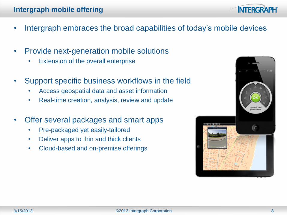
Intergraph mobile offering
9/15/2013 ©2012 Intergraph Corporation 8
• Intergraph embraces the broad capabilities of today’s mobile devices
• Provide next-generation mobile solutions
• Extension of the overall enterprise
• Support specific business workflows in the field
• Access geospatial data and asset information
• Real-time creation, analysis, review and update
• Offer several packages and smart apps
• Pre-packaged yet easily-tailored
• Deliver apps to thin and thick clients
• Cloud-based and on-premise offerings
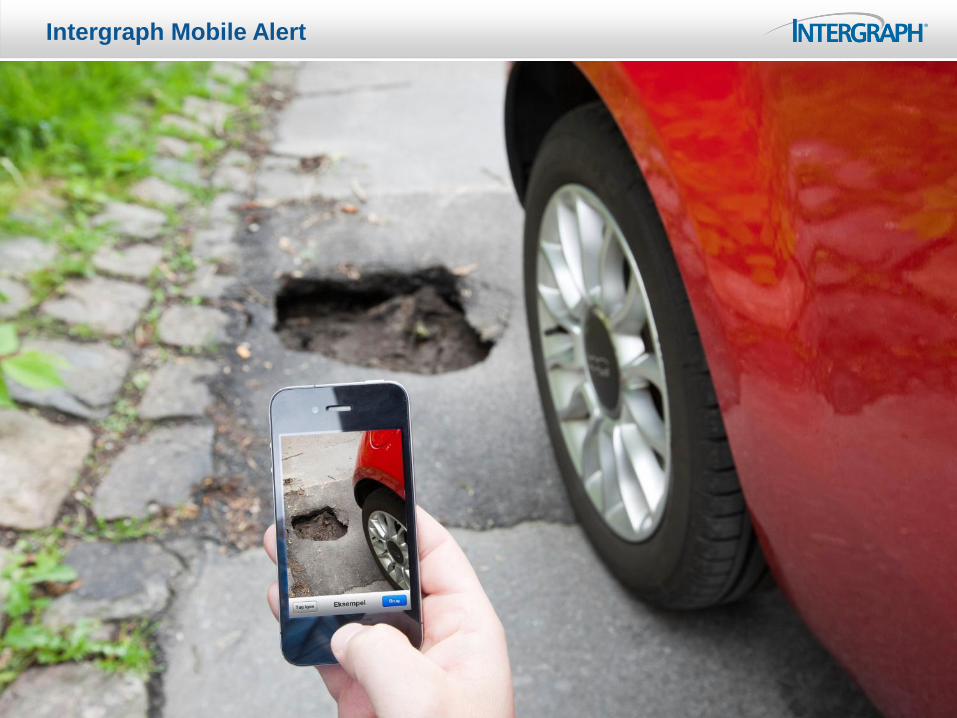
Intergraph Mobile Alert
What is Mobile Alert?
9/15/2013 ©2012 Intergraph Corporation 10
• Intergraph cloud-based service for local governments, public works
and utilities
• Provides crowd-sourced incident information to subscribing organizations
• Watchful citizens
• Anonymously report incident information to authorities
• Upload photos
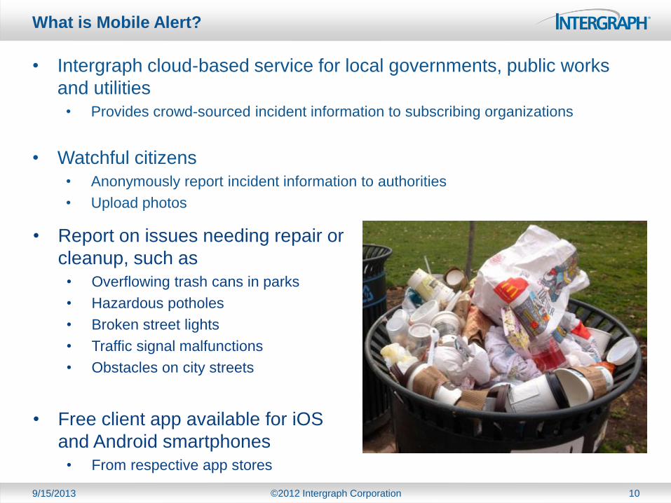
• Report on issues needing repair or
cleanup, such as
• Overflowing trash cans in parks
• Hazardous potholes
• Broken street lights
• Traffic signal malfunctions
• Obstacles on city streets
• Free client app available for iOS
and Android smartphones
• From respective app stores
What are the Benefits of Mobile Alert?
9/15/2013 ©2012 Intergraph Corporation 11
• Crowdsourcing to reduce costs
• Cost-effective means of collecting actionable data
• Extends reach and response
• Empower citizens and communities
• Watchful citizens use GPS-enabled smartphones
• Simple means to report on issues
• Citizens play an active role
• Contribute and improve the quality of life in their communities
• Concentrate on the business, not the technology
• Flexible cloud-based solution
• No in-house IT requirement
• Intergraph provides the total solution
• Installation, upgrades, support, and maintenance handled by Intergraph
• Free app available on iOS and Android mobile devices from respective app stores
• Citizens use their own hardware!
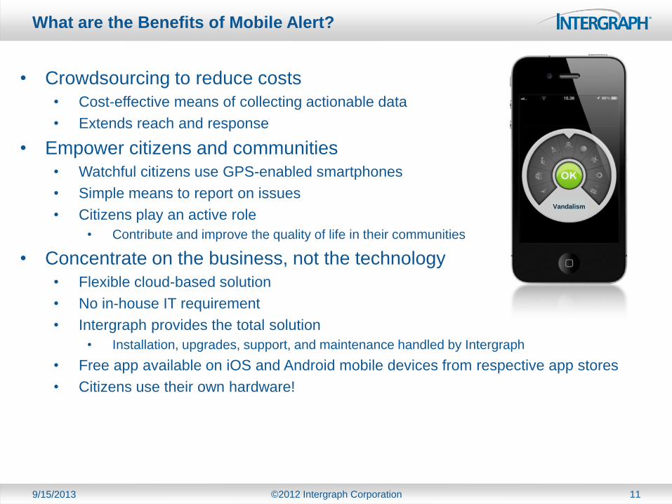
Vandalism
9/15/2013 ©2012 Intergraph Corporation 12
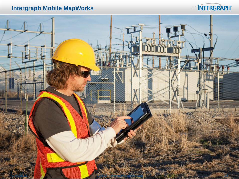
Intergraph Mobile MapWorks

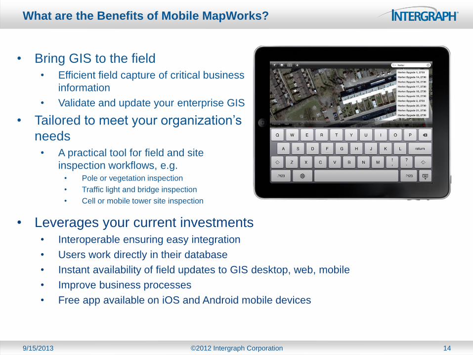
What is Mobile MapWorks?
13
• Tablet-based, field inspection and editing app for enterprise GIS data
• Supporting asset management for:
• Local governments
• Transportation authorities
• Utilities
• Communication companies
• Provides view, create, edit, update and photo-upload functionality
• Configurable user interface to fit a wide variety of purposes
• Free client app available for iOS and Android smartphones
• From respective app stores
What are the Benefits of Mobile MapWorks?
9/15/2013 ©2012 Intergraph Corporation 14
• Bring GIS to the field
• Efficient field capture of critical business
information
• Validate and update your enterprise GIS
• Tailored to meet your organization’s
needs
• A practical tool for field and site
inspection workflows, e.g. • Pole or vegetation inspection
• Traffic light and bridge inspection
• Cell or mobile tower site inspection
• Leverages your current investments • Interoperable ensuring easy integration
• Users work directly in their database
• Instant availability of field updates to GIS desktop, web, mobile
• Improve business processes
• Free app available on iOS and Android mobile devices

Who is using mobile products?
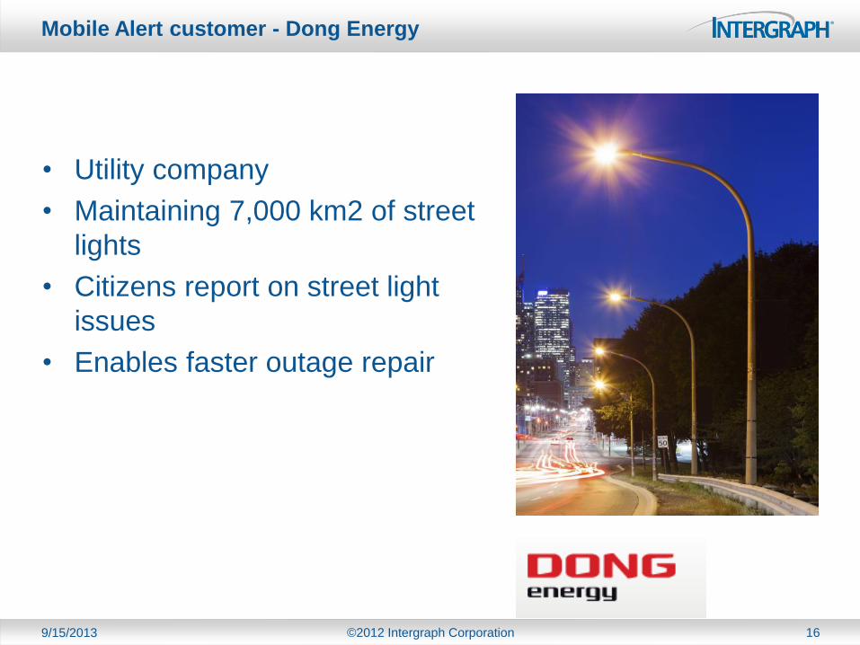
Mobile Alert customer - Dong Energy
9/15/2013 ©2012 Intergraph Corporation 16
• Utility company
• Maintaining 7,000 km2 of street
lights
• Citizens report on street light
issues
• Enables faster outage repair
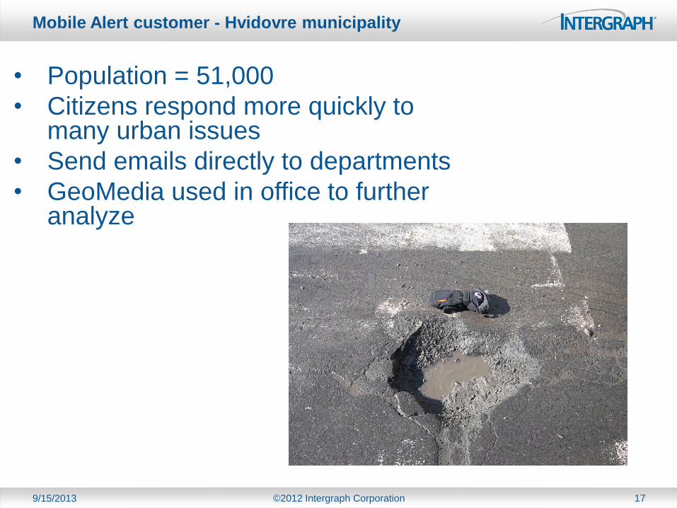
Mobile Alert customer - Hvidovre municipality
9/15/2013 ©2012 Intergraph Corporation 17
• Population = 51,000
• Citizens respond more quickly to many urban issues
• Send emails directly to departments
• GeoMedia used in office to further analyze
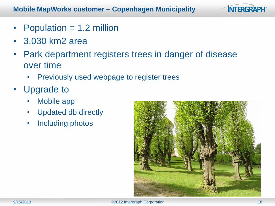
Mobile MapWorks customer – Copenhagen Municipality
9/15/2013 ©2012 Intergraph Corporation 18
• Population = 1.2 million
• 3,030 km2 area
• Park department registers trees in danger of disease
over time
• Previously used webpage to register trees
• Upgrade to
• Mobile app
• Updated db directly
• Including photos
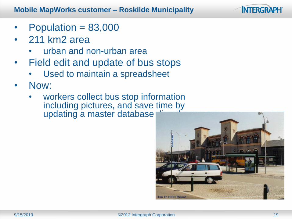
Mobile MapWorks customer – Roskilde Municipality
9/15/2013 ©2012 Intergraph Corporation 19
• Population = 83,000
• 211 km2 area • urban and non-urban area
• Field edit and update of bus stops • Used to maintain a spreadsheet
• Now: • workers collect bus stop information
including pictures, and save time by updating a master database directly.

Technical Aspects of Mobile Alert
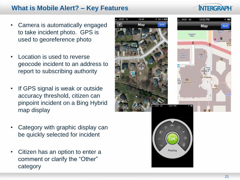
What is Mobile Alert? – Key Features
• Camera is automatically engaged
to take incident photo. GPS is
used to georeference photo
• Location is used to reverse
geocode incident to an address to
report to subscribing authority
• If GPS signal is weak or outside
accuracy threshold, citizen can
pinpoint incident on a Bing Hybrid
map display
• Category with graphic display can
be quickly selected for incident
• Citizen has an option to enter a
comment or clarify the “Other”
category
21
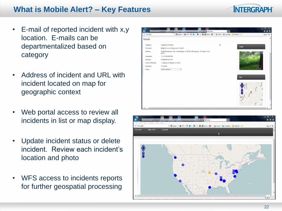
What is Mobile Alert? – Key Features
• E-mail of reported incident with x,y
location. E-mails can be
departmentalized based on
category
• Address of incident and URL with
incident located on map for
geographic context
• Web portal access to review all
incidents in list or map display.
• Update incident status or delete
incident. Review each incident’s
location and photo
• WFS access to incidents reports
for further geospatial processing
22
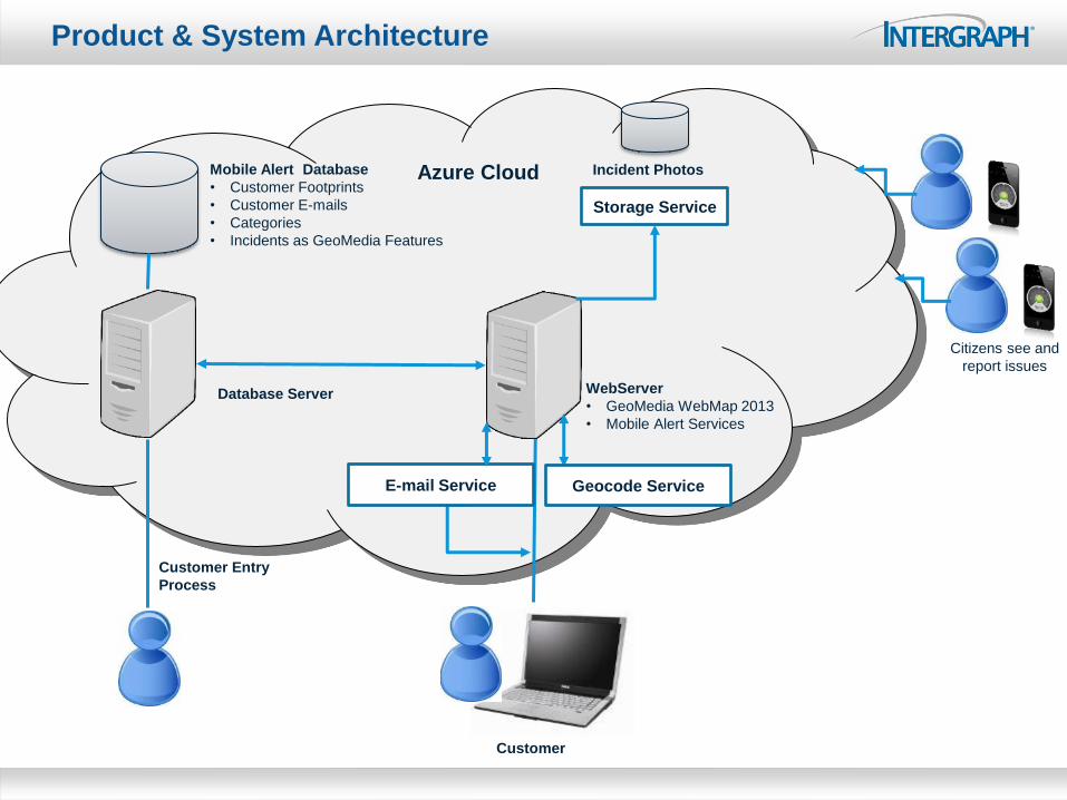
Product & System Architecture
Customer
Citizens see and
report issues
Azure Cloud
Database Server WebServer
• GeoMedia WebMap 2013
• Mobile Alert Services
Mobile Alert Database
• Customer Footprints
• Customer E-mails
• Categories
• Incidents as GeoMedia Features
Customer Entry
Process
Storage Service
Incident Photos
Geocode Service E-mail Service
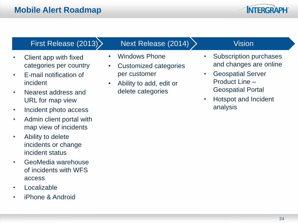
Mobile Alert Roadmap
24
• Subscription purchases
and changes are online
• Geospatial Server
Product Line –
Geospatial Portal
• Hotspot and Incident
analysis
• Client app with fixed
categories per country
• E-mail notification of
incident
• Nearest address and
URL for map view
• Incident photo access
• Admin client portal with
map view of incidents
• Ability to delete
incidents or change
incident status
• GeoMedia warehouse
of incidents with WFS
access
• Localizable
• iPhone & Android
First Release (2013) Next Release (2014) Vision
• Windows Phone
• Customized categories
per customer
• Ability to add, edit or
delete categories

Technical Aspects of Mobile
MapWorks
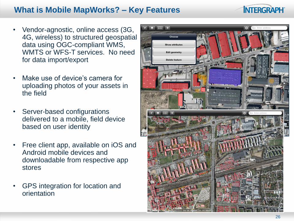
What is Mobile MapWorks? – Key Features
• Vendor-agnostic, online access (3G, 4G, wireless) to structured geospatial data using OGC-compliant WMS, WMTS or WFS-T services. No need for data import/export
• Make use of device’s camera for uploading photos of your assets in the field
• Server-based configurations delivered to a mobile, field device based on user identity
• Free client app, available on iOS and Android mobile devices and downloadable from respective app stores
• GPS integration for location and orientation
26
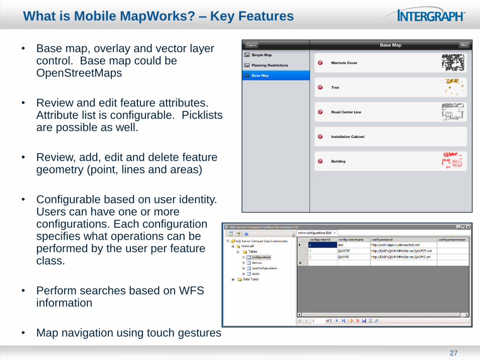
What is Mobile MapWorks? – Key Features
• Base map, overlay and vector layer control. Base map could be OpenStreetMaps
• Review and edit feature attributes. Attribute list is configurable. Picklists are possible as well.
• Review, add, edit and delete feature geometry (point, lines and areas)
• Configurable based on user identity. Users can have one or more configurations. Each configuration specifies what operations can be performed by the user per feature class.
• Perform searches based on WFS information
• Map navigation using touch gestures
27
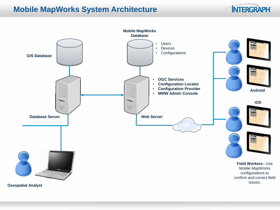
Mobile MapWorks System Architecture
Database Server
Geospatial Analyst
Field Workers– Use
Mobile MapWorks
configurations to
confirm and correct field
issues.
• OGC Services
• Configuration Locator
• Configuration Provider
• MMW Admin Console
• Users
• Devices
• Configurations GIS Database
iOS
Android
Mobile MapWorks
Database
Web Server
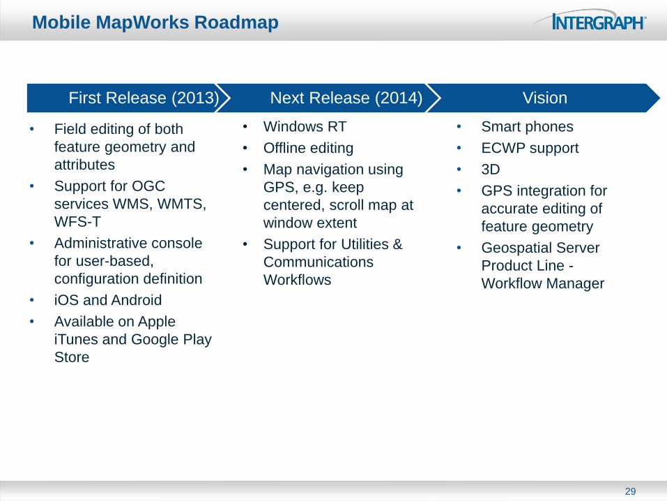
Mobile MapWorks Roadmap
29
• Smart phones
• ECWP support
• 3D
• GPS integration for
accurate editing of
feature geometry
• Geospatial Server
Product Line -
Workflow Manager
• Field editing of both
feature geometry and
attributes
• Support for OGC
services WMS, WMTS,
WFS-T
• Administrative console
for user-based,
configuration definition
• iOS and Android
• Available on Apple
iTunes and Google Play
Store
First Release (2013) Next Release (2014) Vision
• Windows RT
• Offline editing
• Map navigation using
GPS, e.g. keep
centered, scroll map at
window extent
• Support for Utilities &
Communications
Workflows

Thank You