Embed Size (px)
Citation preview

July 16, 2014
La Plata Archuleta Water District
c/o Harris Water Engineering
Mr. Brett Sherman, P.E.
954 East 2nd
Avenue, Suite 202
Durango, Colorado 81301
PN: 53534GE
Subject: Geotechnical Engineering Subsurface Exploration
The Proposed LAPLAWD Phase 2B 12” Main Water Line
Durango, Colorado
Mr. Sherman,
This letter presents our test bore logs from our field exploration for the LAPLAWD Phase 2B
12” Main Water Line along the west side of La Plata County Road 513 from the intersection of
La Plata County Road 514 south to State Highway 172, and along the west side of La Plata
County Road 311 from State Highway 172 south to Rock Ranch Road. The figures below shows
the approximate locations of our test borings, and where potential shallow formational material
may be encountered during the water line trench excavation. The logs of our test borings are
attached to this letter. No standard penetration drives were performed along La Plata County
Road 513 due to overhead power lines. We utilized a three (3) foot soil probe on Test Boring
Eight due to BP gas lines in the area. No formational material was encountered within the three
foot probe depth in Test Boring Eight.
We encountered shallow formational material in Test Borings Five, Six, Seven, and Nine in
Phase 2B at depths of two (2) feet, three (3) feet, two one-half (2.5) feet, and one and one-half
(1.5) feet respectively, below the existing ground surface. We encountered formational material
in Test Borings Two and Three at eight (8) and seven (7) feet, respectively. The formational
material encountered in the test borings consisted of hard to very hard claystone with some
interbedded sandstone layers. The upper one (1) to two (2) feet of the formational material
encountered in the test borings should be considered weathered. In addition to the test borings
logs, we have depicted below where we anticipate shallow formational may be encountered
during excavation or was observed adjacent to the roadway and the proposed waterline
alignment.
PN:53534GE
July 16, 2014
Page 2
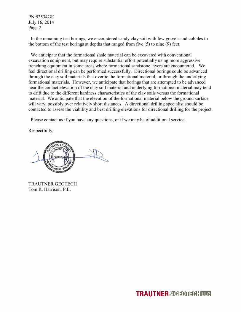
In the remaining test borings, we encountered sandy clay soil with few gravels and cobbles to
the bottom of the test borings at depths that ranged from five (5) to nine (9) feet.
We anticipate that the formational shale material can be excavated with conventional
excavation equipment, but may require substantial effort potentially using more aggressive
trenching equipment in some areas where formational sandstone layers are encountered. We
feel directional drilling can be performed successfully. Directional borings could be advanced
through the clay soil materials that overlie the formational material, or through the underlying
formational materials. However, we anticipate that borings that are attempted to be advanced
near the contact elevation of the clay soil material and underlying formational material may tend
to drift due to the different hardness characteristics of the clay soils versus the formational
material. We anticipate that the elevation of the formational material below the ground surface
will vary, possibly over relatively short distances. A directional drilling specialist should be
contacted to assess the viability and best drilling elevations for directional drilling for the project.
Please contact us if you have any questions, or if we may be of additional service.
Respectfully,
TRAUTNER GEOTECH
Tom R. Harrison, P.E.

PN:53534GE
July 16, 2014
Page 3
Potential Shallow Formational Material and Test Boring Locations along CR 513.
TB-5
TB-4
TB-3
TB-2
TB-1
LEGEND
Potential Shallow Formational Material
Test Boring Location

PN:53534GE
July 16, 2014
Page 4
Potential Shallow Formational Material and Test Boring Locations along CR 311.
TB-9
TB-8
TB-7
TB-6
LEGEND
Potential Shallow
Formational Material
Test Boring Location

07-2
1-20
14 T
:\Cur
rent
GE
\535
34G
E, L
AP
LAW
D P
hase
2B
\LA
PLA
WD
Pha
se 2
B T
B-1
.bor
LOG OF BORING TB-1
PN:53534GE
Durango, CO Harris Water Engineering
Mr. Brett ShermanLAPLAWD Phase 2B
Depthin
feet
0
1
2
3
4
5
6
7
8
9
10
DESCRIPTION
Sample Type
Mod. California Sampler
Bag Sample
Standard Split Spoon
Water Level
Water Level During Drilling
Water Level After Drilling
CLAY, slightly sandy, stiff, moist, brown
Bottom of test boring at nine (9) feet
US
CS
CL
GR
AP
HIC
Sam
ples
Blo
w C
ount
Wat
er L
evel
REMARKS
Field Engineer : T. Harrison
Hole Diameter : 4" Solid
Drilling Method : Continuous Flight Auger
Sampling Method : No Sampling
Date Drilled : 7/15/2014
Total Depth (approx.) : 9 feet
Location : See Figure in Letter

07-2
1-20
14 T
:\Cur
rent
GE
\535
34G
E, L
AP
LAW
D P
hase
2B
\LA
PLA
WD
Pha
se 2
B T
B-2
.bor
Field Engineer : T. Harrison
Hole Diameter : 4" Solid
Drilling Method : Continuous Flight Auger
Sampling Method : No Sampling
Date Drilled : 7/15/2014
Total Depth (approx.) : 9 feet
Location : See Figure in Letter
LOG OF BORING TB-2
PN:53534GE
Durango, CO Harris Water Engineering
Mr. Brett ShermanLAPLAWD Phase 2B
Depthin
feet
0
1
2
3
4
5
6
7
8
9
10
DESCRIPTION
Sample Type
Mod. California Sampler
Bag Sample
Standard Split Spoon
Water Level
Water Level During Drilling
Water Level After Drilling
US
CS
GR
AP
HIC
Sam
ples
Blo
w C
ount
Wat
er L
evel
REMARKS
CLAY, slightly sandy, few gravels, few cobbles, stiff, moist, brown
Formational Material, Claystone/Shale, hard, dry to slightly moist, tan
Bottom of test boring at nine (9) feet
CL
SH

07-2
1-20
14 T
:\Cur
rent
GE
\535
34G
E, L
AP
LAW
D P
hase
2B
\LA
PLA
WD
Pha
se 2
B T
B-3
.bor
Field Engineer : T. Harrison
Hole Diameter : 4" Solid
Drilling Method : Continuous Flight Auger
Sampling Method : No Sampling
Date Drilled : 7/15/2014
Total Depth (approx.) : 9 feet
Location : See Figure in Letter
LOG OF BORING TB-3
PN:53534GE
Durango, CO Harris Water Engineering
Mr. Brett ShermanLAPLAWD Phase 2B
Depthin
feet
0
1
2
3
4
5
6
7
8
9
10
DESCRIPTION
Sample Type
Mod. California Sampler
Bag Sample
Standard Split Spoon
Water Level
Water Level During Drilling
Water Level After Drilling
US
CS
GR
AP
HIC
Sam
ples
Blo
w C
ount
Wat
er L
evel
REMARKS
CLAY, sandy, few gravels, stiff, moist, brown
Formational Material, Claystone/Shale, hard, dry to slightly moist, tan
Bottom of test boring at nine (9) feet
CL
SH

07-2
1-20
14 T
:\Cur
rent
GE
\535
34G
E, L
AP
LAW
D P
hase
2B
\LA
PLA
WD
Pha
se 2
B T
B-3
.bor
LOG OF BORING TB-4
PN:53534GE
Durango, CO Harris Water Engineering
Mr. Brett ShermanLAPLAWD Phase 2B
Depthin
feet
0
1
2
3
4
5
6
7
8
9
10
DESCRIPTION
Sample Type
Mod. California Sampler
Bag Sample
Standard Split Spoon
Water Level
Water Level During Drilling
Water Level After Drilling
US
CS
GR
AP
HIC
Sam
ples
Blo
w C
ount
Wat
er L
evel
REMARKS
Field Engineer : T. Harrison
Hole Diameter : 4" Solid
Drilling Method : Continuous Flight Auger
Sampling Method : No Sampling
Date Drilled : 7/15/2014
Total Depth (approx.) : 9 feet
Location : See Figure in Letter
CLAY, sandy, few gravels, stiff, moist, brown
Bottom of test boring at nine (9) feet
CL

07-2
1-20
14 T
:\Cur
rent
GE
\535
34G
E, L
AP
LAW
D P
hase
2B
\LA
PLA
WD
Pha
se 2
B T
B-5
.bor
Field Engineer : T. Harrison
Hole Diameter : 4" Solid
Drilling Method : Continuous Flight Auger
Sampling Method : Standard Split Spoon
Date Drilled : 7/15/2014
Total Depth (approx.) : 5 feet
Location : See Figure in Letter
LOG OF BORING TB-5
PN:53534GE
Durango, CO Harris Water Engineering
Mr. Brett ShermanLAPLAWD Phase 2B
Depthin
feet
0
1
2
3
4
5
6
7
8
9
10
DESCRIPTION
Sample Type
Mod. California Sampler
Bag Sample
Standard Split Spoon
Water Level
Water Level During Drilling
Water Level After Drilling
US
CS
GR
AP
HIC
Sam
ples
Blo
w C
ount
50/6
Wat
er L
evel
REMARKS
CLAY, sandy, few gravels, few cobbles, stiff, moist, brown
Formational Material, Shale and Sandstone, very hard, dry, gray to purple
Bottom of test boring at five (5) feet
CL
SH/SS

07-2
1-20
14 T
:\Cur
rent
GE
\535
34G
E, L
AP
LAW
D P
hase
2B
\LA
PLA
WD
Pha
se 2
B T
B-6
.bor
Field Engineer : T. Harrison
Hole Diameter : 4" Solid
Drilling Method : Continuous Flight Auger
Sampling Method : Standard Split Spoon
Date Drilled : 7/15/2014
Total Depth (approx.) : 5 feet
Location : See Figure in Letter
LOG OF BORING TB-6
PN:53534GE
Durango, CO Harris Water Engineering
Mr. Brett ShermanLAPLAWD Phase 2B
Depthin
feet
0
1
2
3
4
5
6
7
8
9
10
DESCRIPTION
Sample Type
Mod. California Sampler
Bag Sample
Standard Split Spoon
Water Level
Water Level During Drilling
Water Level After Drilling
US
CS
GR
AP
HIC
Sam
ples
Blo
w C
ount
Wat
er L
evel
REMARKS
CLAY, sandy, gravels, cobbles, stiff, moist, brown
Formational Material, Claystone/Shale, hard to very hard, dry, tan to purple
Bottom of test boring at five (5) feet
CL
SH
25/6
30/6
50/6

07-2
1-20
14 T
:\Cur
rent
GE
\535
34G
E, L
AP
LAW
D P
hase
2B
\LA
PLA
WD
Pha
se 2
B T
B-7
.bor
Field Engineer : T. Harrison
Hole Diameter : 4" Solid
Drilling Method : Continuous Flight Auger
Sampling Method : Standard Split Spoon
Date Drilled : 7/15/2014
Total Depth (approx.) : 5 feet
Location : See Figure in Letter
LOG OF BORING TB-7
PN:53534GE
Durango, CO Harris Water Engineering
Mr. Brett ShermanLAPLAWD Phase 2B
Depthin
feet
0
1
2
3
4
5
6
7
8
9
10
DESCRIPTION
Sample Type
Mod. California Sampler
Bag Sample
Standard Split Spoon
Water Level
Water Level During Drilling
Water Level After Drilling
US
CS
GR
AP
HIC
Sam
ples
Blo
w C
ount
14/6
20/6
20/6
Wat
er L
evel
REMARKS
COBBLES, CLAY, sandy, gravels, dense, moist, brown
Weathered Formational Material, Claystone, hard, dry, tan to purple
Bottom of test boring at five (5) feet
GC
SH

07-2
1-20
14 T
:\Cur
rent
GE
\535
34G
E, L
AP
LAW
D P
hase
2B
\LA
PLA
WD
Pha
se 2
B T
B-8
.bor
Field Engineer : T. Harrison
Hole Diameter : 1/4 inch
Drilling Method : Hand probe
Sampling Method : No Sampling
Date Drilled : 7/15/2014
Total Depth (approx.) : 3 feet
Location : See Figure in Letter
LOG OF BORING TB-8
PN:53534GE
Durango, CO Harris Water Engineering
Mr. Brett ShermanLAPLAWD Phase 2B
Depthin
feet
0
1
2
3
4
5
6
7
8
9
10
DESCRIPTION
Sample Type
Mod. California Sampler
Bag Sample
Standard Split Spoon
Water Level
Water Level During Drilling
Water Level After Drilling
CLAY, slightly sandy, few gravels, stiff, moist, brown
Bottom of probe at three (3) feet
US
CS
CL
GR
AP
HIC
Sam
ples
Blo
w C
ount
Wat
er L
evel
REMARKS

07-2
1-20
14 T
:\Cur
rent
GE
\535
34G
E, L
AP
LAW
D P
hase
2B
\LA
PLA
WD
Pha
se 2
B T
B-9
.bor
Field Engineer : T. Harrison
Hole Diameter : 4" Solid
Drilling Method : Continuous Flight Auger
Sampling Method : Standard Split Spoon
Date Drilled : 7/15/2014
Total Depth (approx.) : 5 feet
Location : See Figure in Letter
LOG OF BORING TB-9
PN:53534GE
Durango, CO Harris Water Engineering
Mr. Brett ShermanLAPLAWD Phase 2B
Depthin
feet
0
1
2
3
4
5
6
7
8
9
10
DESCRIPTION
Sample Type
Mod. California Sampler
Bag Sample
Standard Split Spoon
Water Level
Water Level During Drilling
Water Level After Drilling
US
CS
GR
AP
HIC
Sam
ples
Blo
w C
ount
23/6
26/6W
ater
Lev
el
REMARKS
COBBLES, CLAY, sandy, gravels, medium dense, moist, brown
Weathered Formational Material, Claystone, hard, dry, gray to purple
Bottom of test boring at five (5) feet
GC
SH