Embed Size (px)
Citation preview
Introduction to ArcGIS for archaeologists
Lecture 1:Why GIS matters
Introduction to ArcGIS for archaeologists
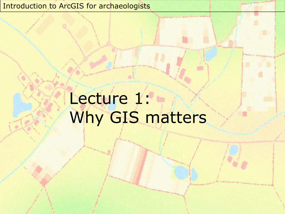
What does GIS do?
• Map multiple sources of geographic data at once
• Use powerful spatial analysis tools
• Publication of paper and electronic maps
Introduction to ArcGIS for archaeologists
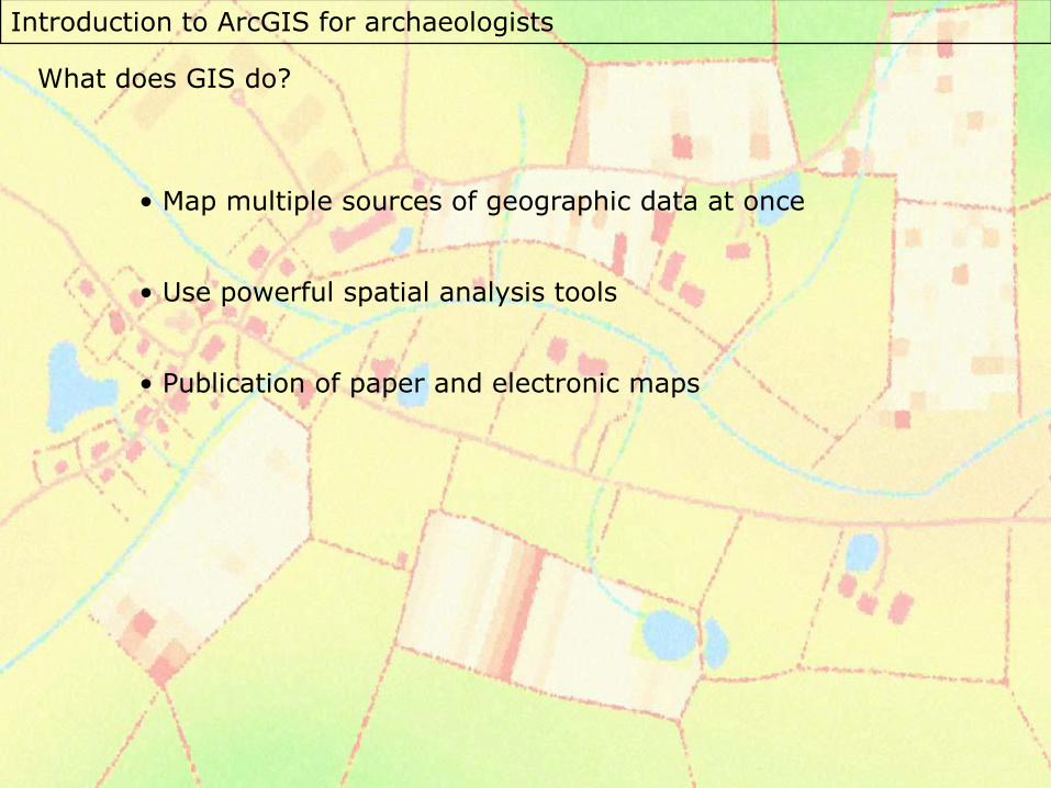
Restrictions of working with GIS:
• Easy to disguise poor quality data
• Output may need editing for publication
• Tools can be used when not appropriate
• Simplification of the real world
Introduction to ArcGIS for archaeologists
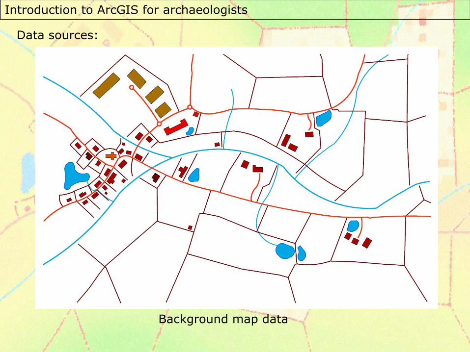
Data sources:
Background map data
Introduction to ArcGIS for archaeologists
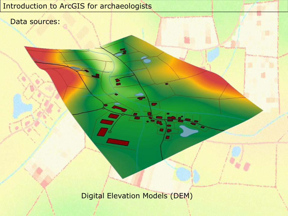
Data sources:
Digital Elevation Models (DEM)
Introduction to ArcGIS for archaeologists
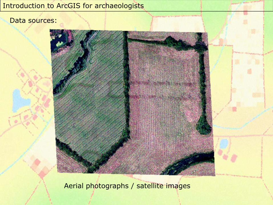
Data sources:
Aerial photographs / satellite images
Introduction to ArcGIS for archaeologists
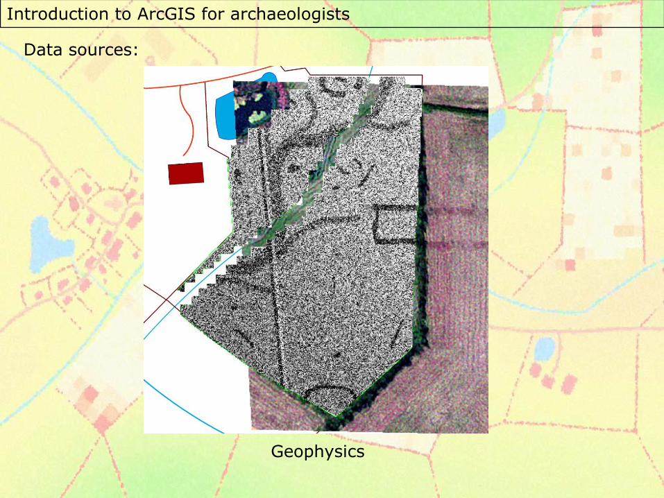
Data sources:
Geophysics
Introduction to ArcGIS for archaeologists
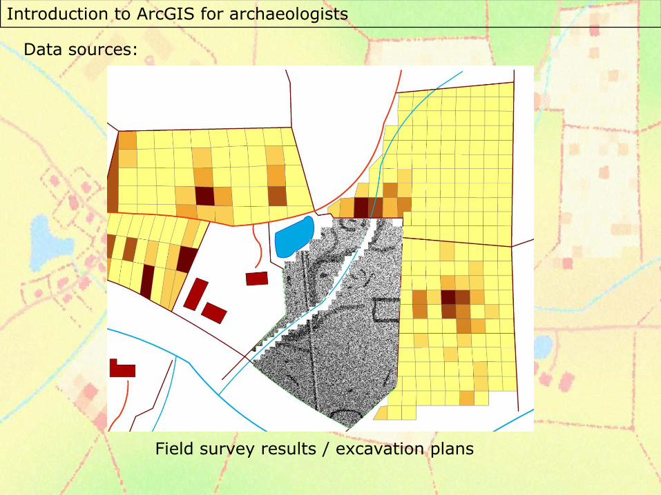
Data sources:
Field survey results / excavation plans
Introduction to ArcGIS for archaeologists
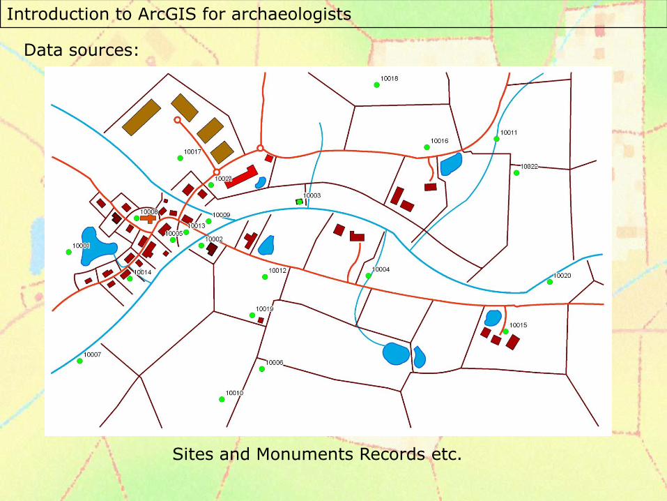
Data sources:
Sites and Monuments Records etc.
Introduction to ArcGIS for archaeologists
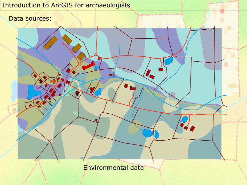
Data sources:
Environmental data
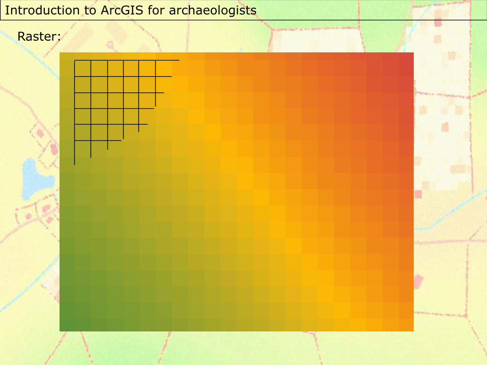
Introduction to ArcGIS for archaeologists
Raster:
Introduction to ArcGIS for archaeologists
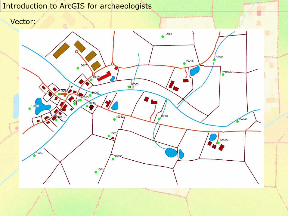
Vector:
Introduction to ArcGIS for archaeologists
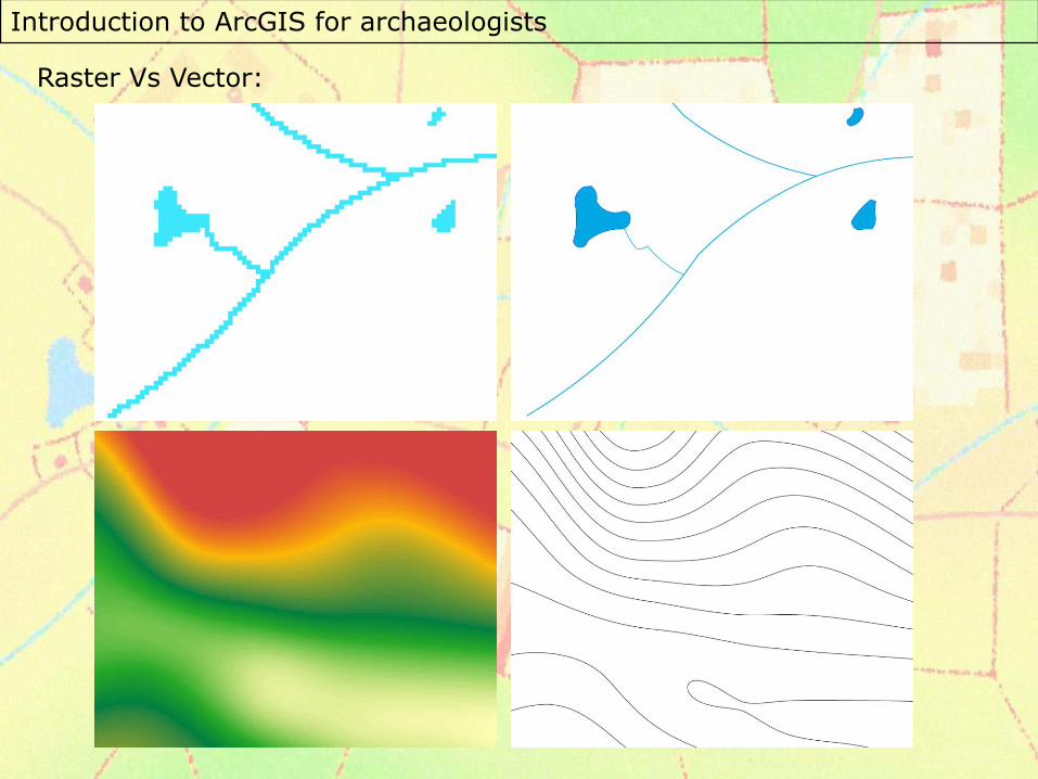
Raster Vs Vector:
Introduction to ArcGIS for archaeologists
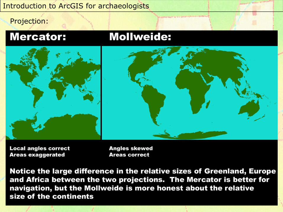
Projection:
Introduction to ArcGIS for archaeologists
This course was written by Dr Chris Green at the University ofLeicester. He can be contacted at [email protected] if you haveany comments.
The production of this course was funded by the SPLINTCentre for Excellence in Teaching and Learning at the University of Leicester:http://www.le.ac.uk/geography/splint/