Embed Size (px)
Citation preview
SDI-LAC Newsletter Vol. 9, No.1
1
The Pan-American Institute of Geography and History (PAIGH), member organization of GSDI, and the Permanent Committee on Geospatial Data Infrastructure for the Americas (PC-IDEA), promote SDI development in the region. The newsletter is prepared by PAIGH for GSDI.
Message from the Editor Input to this Issue Global and Regional SDI, News, Presentations IGS News, Links, Publications National SDI, News, Links, Presentations Articles and Publications of the Month Geospatial Research, Applications, Software, Data Training and Funding Opportunities, Awards Employment Opportunities Other Americas: Conferences, SDI Events (Year 2012) (Year 2013)
This SDI-LAC issue highlights the following news: The Global and Regional SDI section comprises notes on
European open government data directives; First edition of GeoSUR Award; Data Development in the Dutch Caribbean; a discussion on the value of GIS to climate change; and the GEO 2012-2015 Work Plan. The IGS section includes information on the Master Euromime. The National SDI
segment covers activities of Argentina, Cuba, Ecuador, Mexico, Peru, and Uruguay including local and national SDIs, publications and services. Articles and Publications of the month comprise a paper on How EO Support Sustainable Development in LA; the 5 Open Planet edition; and the Brazil case for the Broadband Strategies Toolkit. Geospatial Research and Applications underline a Research on Land
Administration Domain Model (LADM) for Forest Rights of Indigenous Tribes in Brazil; the Argentinean Glaciers Inventory Program 2Mp; the Chilean satellite launched in December; and the first Satellite Receiving Station in Venezuela. The Training and Funding Opportunities
section encompasses calls for international and national initiatives, among them the Master Program on Remote Sensing in Colombia; and the 2012 FIG Foundation Academic Research Grants. Finally, several Events taking place in the Americas are highlighted in the last section.
We are pleased to welcome Eduardo Freitas Oliveira, as SDI-LAC Newsletter correspondent member for Brazil; he is
a Cartographic Engineer, MSc in GIS, editor of the portal MundoGEO and the magazines InfoGNSS and InfoGEO Geomatics. The SDI-LAC Newsletter is available in Portuguese! Translation of SDI-LAC Portuguese is possible thanks to undergrad students from UNESP Matthew de Barros Manhani and Esrom A. Rissate Júnior and the cartographers engineers: Eduardo Freitas Oliveira, MSc in
GIS, editor of the portal MundoGEO and magazine InfoGNSS and InfoGEO Geomatics; Silvane Paixão, MSc in Geodetic
Sciences and Geoinformation Technologies, PhD in Land Administration and Land Information Management; Camila Bassetto Guedes, advisor of the Operations Department of the Air Space Control (DECEA), Juan Carlos Gironda Mamani, a consultant in Geotechnology and IT solutions for Geoinformation, Annette Pic, MSc in Remote Sensing; Edilce Figueiredo Burity, MSc in Computer Systems and
Technologist of IBGE / PE Geographic Information and Statistics. Under the general coordination of Silvane Paixão. Back issues of the newsletter are at the GSDI website: http://www.gsdi.org/newsletters.asp Editor, Nancy Aguirre, Pan-American Institute of Geography and History (PAIGH), http://www.ipgh.org, [email protected]
Message from the Editor
Spatial Data Infrastructure-Latin America and the Caribbean (SDI-LAC) is a regional, monthly, and free, electronic newsletter from the Global Spatial Data Infrastructure Association (GSDI). It focuses on aspects related with Spatial Data Infrastructure, and on GIS, remote sensing, and data management issues, related with SDI in Latin America and the Caribbean. It aims to raise awareness, provide useful information to strengthen national SDI initiatives, and support synchronization of regional efforts.
GSDI Definition
SDI-LAC Newsletter Vol. 9, No.1
2
Sergio Acosta y Lara Department of Geographic Information, Bureau of Surveying (MTOP), SDI Working
Group (GTIDE-AGESIC), Uruguay Mabel Álvarez President, International Geospatial Society (IGS), Argentina Santiago Borrero Secretary General, Pan-American Institute of Geography and History, PAIGH, Mexico Teresa J. Center Administrative Support Supervisor, Geosciences Department, University of Arkansas,
USA Jean-François Cerisier Coordinator Euromime Consortium Tarun Ghawana GIS Specialist, Integrated Spatial Analytics Consultants (ISAC), India João Paulo Hespanha Adjunct Professor, School of Technology and Management Agueda, Portugal Kate Lance SERVIR, NASA/USRA Coordinator, Huntsville, AL, USA Douglas D. Nebert Senior Advisor for Geospatial Technology, System-of-Systems Architect, FGDC
Secretariat, USA Aníbal Pacheco e-Government and Information Society Agency (AGESIC), Uruguay Silvane Paixão General Coordinator of the Translation into Portuguese of the GSDI, SDI-LAC
Newsletter, Brazil (Back to top)
E e e D Source: Douglas D. Nebert by way of Santiago Borrero
Europe just released a new set of directives and policies related to open government data. This was partly in response to a series of open discussions recently held online and throughout Europe in looking at the use and distribution of open data. You can find the full report here. http://europa.eu/rapid/pressReleasesAction.do?reference=IP/11/1524&format=HTML&aged=0&language=EN&guiLanguage=en. They expect a 40B Euro market for open data. These new measures are backed by the 100 million Euro which will be granted in 2011-2013 to fund research into improved data-handling technologies. They note, "These actions position the EU as the global leader in the re-use of public sector information. They will boost the thriving industry that turns raw data into the material that hundreds of millions of ICT users depend on, for example smart phone apps, such as maps, real-time traffic and weather information, price comparison tools and more. Other leading beneficiaries will include journalists and academics. Commission Vice President Neelie Kroes said: "We are sending a strong signal to administrations today. Your data is worth more if you give it away. So start releasing it now: use this framework to join the other smart leaders who are already gaining from embracing open data. Taxpayers have already paid for this information, the least we can do is give it back to those who want to use it in new ways that help people and create jobs and growth.” http://www.youtube.com/watch?v=MlcFKPyiRuw The pertinent points are: Making it a general rule that all documents made accessible by public sector bodies can be re-used for any purpose, commercial or non-commercial, unless protected by third party copyright; Establishing the principle that public bodies should not be allowed to charge more than costs triggered by the individual request for data (marginal costs); in practice this means most data will be offered for free or virtually for free, unless duly justified; Making it compulsory to provide data in commonly-used, machine-readable formats, to ensure data can be effectively re-used; Introducing regulatory oversight to enforce these principles; and Massively expanding the reach of the Directive to include libraries, museums and archives for the first time. The existing 2003 rules will apply to data from such institutions.
Input to this Issue
Global and Regional SDI, News, Presentations
SDI-LAC Newsletter Vol. 9, No.1
3
CAF and PAIGH convene the first edition of GeoSUR Award Source: http://www.ipgh.org/
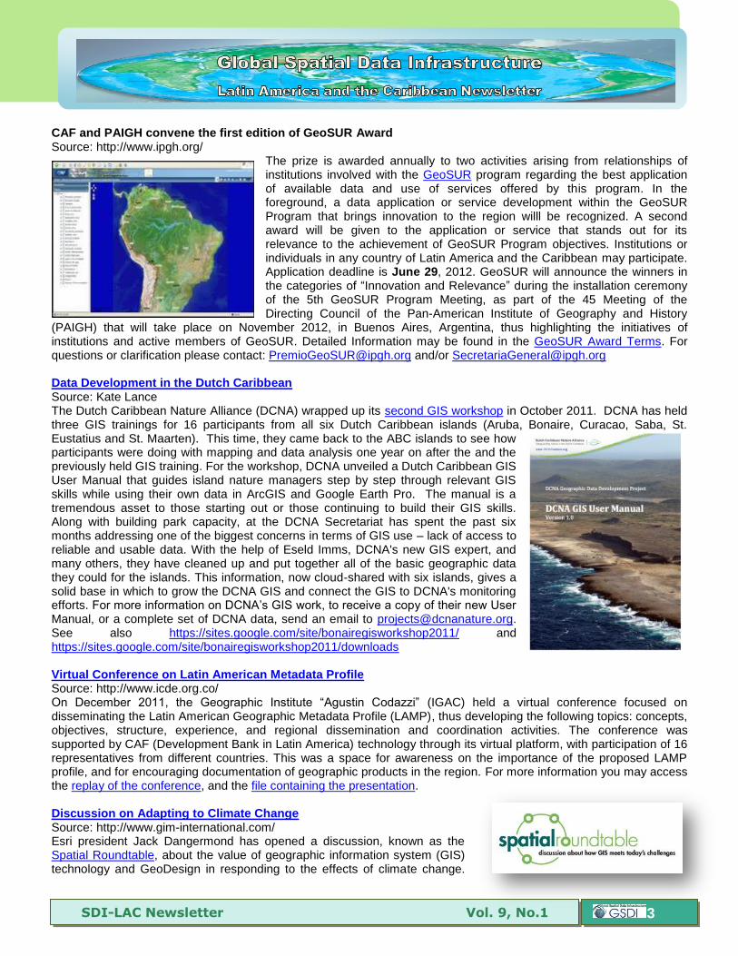
The prize is awarded annually to two activities arising from relationships of institutions involved with the GeoSUR program regarding the best application of available data and use of services offered by this program. In the foreground, a data application or service development within the GeoSUR Program that brings innovation to the region willl be recognized. A second award will be given to the application or service that stands out for its relevance to the achievement of GeoSUR Program objectives. Institutions or individuals in any country of Latin America and the Caribbean may participate. Application deadline is June 29, 2012. GeoSUR will announce the winners in the categories of “Innovation and Relevance” during the installation ceremony of the 5th GeoSUR Program Meeting, as part of the 45 Meeting of the Directing Council of the Pan-American Institute of Geography and History
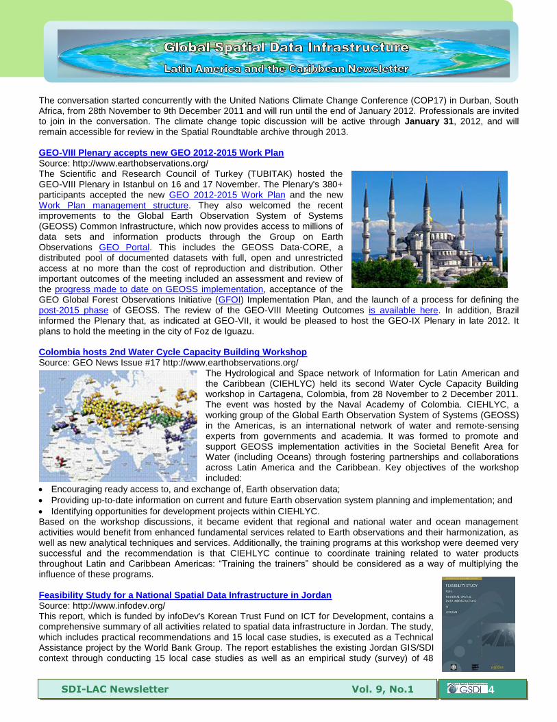
(PAIGH) that will take place on November 2012, in Buenos Aires, Argentina, thus highlighting the initiatives of institutions and active members of GeoSUR. Detailed Information may be found in the GeoSUR Award Terms. For questions or clarification please contact: [email protected] and/or [email protected] Data Development in the Dutch Caribbean Source: Kate Lance The Dutch Caribbean Nature Alliance (DCNA) wrapped up its second GIS workshop in October 2011. DCNA has held three GIS trainings for 16 participants from all six Dutch Caribbean islands (Aruba, Bonaire, Curacao, Saba, St. Eustatius and St. Maarten). This time, they came back to the ABC islands to see how participants were doing with mapping and data analysis one year on after the and the previously held GIS training. For the workshop, DCNA unveiled a Dutch Caribbean GIS User Manual that guides island nature managers step by step through relevant GIS skills while using their own data in ArcGIS and Google Earth Pro. The manual is a tremendous asset to those starting out or those continuing to build their GIS skills. Along with building park capacity, at the DCNA Secretariat has spent the past six months addressing one of the biggest concerns in terms of GIS use – lack of access to reliable and usable data. With the help of Eseld Imms, DCNA's new GIS expert, and many others, they have cleaned up and put together all of the basic geographic data they could for the islands. This information, now cloud-shared with six islands, gives a solid base in which to grow the DCNA GIS and connect the GIS to DCNA's monitoring efforts. For more information on DCNA’s GIS work, to receive a copy of their new User Manual, or a complete set of DCNA data, send an email to [email protected]. See also https://sites.google.com/site/bonairegisworkshop2011/ and https://sites.google.com/site/bonairegisworkshop2011/downloads Virtual Conference on Latin American Metadata Profile Source: http://www.icde.org.co/ On December 2011, the Geographic Institute “Agustin Codazzi” (IGAC) held a virtual conference focused on disseminating the Latin American Geographic Metadata Profile (LAMP), thus developing the following topics: concepts, objectives, structure, experience, and regional dissemination and coordination activities. The conference was supported by CAF (Development Bank in Latin America) technology through its virtual platform, with participation of 16 representatives from different countries. This was a space for awareness on the importance of the proposed LAMP profile, and for encouraging documentation of geographic products in the region. For more information you may access the replay of the conference, and the file containing the presentation. Discussion on Adapting to Climate Change Source: http://www.gim-international.com/ Esri president Jack Dangermond has opened a discussion, known as the Spatial Roundtable, about the value of geographic information system (GIS) technology and GeoDesign in responding to the effects of climate change.
SDI-LAC Newsletter Vol. 9, No.1
4
The conversation started concurrently with the United Nations Climate Change Conference (COP17) in Durban, South Africa, from 28th November to 9th December 2011 and will run until the end of January 2012. Professionals are invited to join in the conversation. The climate change topic discussion will be active through January 31, 2012, and will remain accessible for review in the Spatial Roundtable archive through 2013. GEO-VIII Plenary accepts new GEO 2012-2015 Work Plan Source: http://www.earthobservations.org/ The Scientific and Research Council of Turkey (TUBITAK) hosted the GEO-VIII Plenary in Istanbul on 16 and 17 November. The Plenary's 380+ participants accepted the new GEO 2012-2015 Work Plan and the new Work Plan management structure. They also welcomed the recent improvements to the Global Earth Observation System of Systems (GEOSS) Common Infrastructure, which now provides access to millions of data sets and information products through the Group on Earth Observations GEO Portal. This includes the GEOSS Data-CORE, a distributed pool of documented datasets with full, open and unrestricted access at no more than the cost of reproduction and distribution. Other important outcomes of the meeting included an assessment and review of the progress made to date on GEOSS implementation, acceptance of the GEO Global Forest Observations Initiative (GFOI) Implementation Plan, and the launch of a process for defining the post-2015 phase of GEOSS. The review of the GEO-VIII Meeting Outcomes is available here. In addition, Brazil informed the Plenary that, as indicated at GEO-VII, it would be pleased to host the GEO-IX Plenary in late 2012. It plans to hold the meeting in the city of Foz de Iguazu. Colombia hosts 2nd Water Cycle Capacity Building Workshop Source: GEO News Issue #17 http://www.earthobservations.org/
The Hydrological and Space network of Information for Latin American and the Caribbean (CIEHLYC) held its second Water Cycle Capacity Building workshop in Cartagena, Colombia, from 28 November to 2 December 2011. The event was hosted by the Naval Academy of Colombia. CIEHLYC, a working group of the Global Earth Observation System of Systems (GEOSS) in the Americas, is an international network of water and remote-sensing experts from governments and academia. It was formed to promote and support GEOSS implementation activities in the Societal Benefit Area for Water (including Oceans) through fostering partnerships and collaborations across Latin America and the Caribbean. Key objectives of the workshop included:
Encouraging ready access to, and exchange of, Earth observation data;
Providing up-to-date information on current and future Earth observation system planning and implementation; and
Identifying opportunities for development projects within CIEHLYC. Based on the workshop discussions, it became evident that regional and national water and ocean management activities would benefit from enhanced fundamental services related to Earth observations and their harmonization, as well as new analytical techniques and services. Additionally, the training programs at this workshop were deemed very successful and the recommendation is that CIEHLYC continue to coordinate training related to water products throughout Latin and Caribbean Americas: “Training the trainers” should be considered as a way of multiplying the influence of these programs. Feasibility Study for a National Spatial Data Infrastructure in Jordan Source: http://www.infodev.org/ This report, which is funded by infoDev's Korean Trust Fund on ICT for Development, contains a comprehensive summary of all activities related to spatial data infrastructure in Jordan. The study, which includes practical recommendations and 15 local case studies, is executed as a Technical Assistance project by the World Bank Group. The report establishes the existing Jordan GIS/SDI context through conducting 15 local case studies as well as an empirical study (survey) of 48
SDI-LAC Newsletter Vol. 9, No.1
5
stakeholder organizations. The study team looked at the situation of existing GIS/SDI systems, the institutional settings, the policy and legal environment, the technical and geo-data situation, the supporting physical infrastructure, the human resources available, and the funding environment. Analyzing the collected data revealed trends within the Jordanian GIS/SDI context and common challenges were identified. Cologne to host IGU International Geographical Congress in August 2012 Source: http://www.earthobservations.org/ and http://www.igc2012.org/
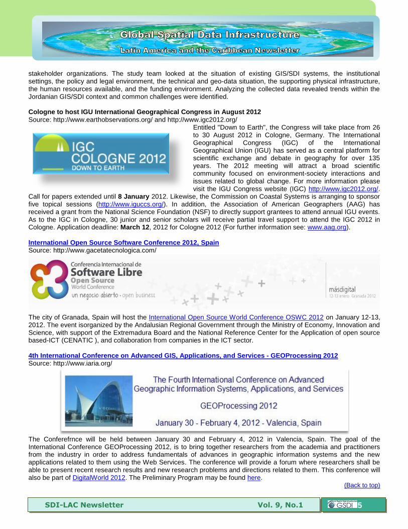
Entitled "Down to Earth", the Congress will take place from 26 to 30 August 2012 in Cologne, Germany. The International Geographical Congress (IGC) of the International Geographical Union (IGU) has served as a central platform for scientific exchange and debate in geography for over 135 years. The 2012 meeting will attract a broad scientific community focused on environment-society interactions and issues related to global change. For more information please visit the IGU Congress website (IGC) http://www.igc2012.org/.
Call for papers extended until 8 January 2012. Likewise, the Commission on Coastal Systems is arranging to sponsor five topical sessions (http://www.iguccs.org/). In addition, the Association of American Geographers (AAG) has received a grant from the National Science Foundation (NSF) to directly support grantees to attend annual IGU events. As to the IGC in Cologne, 30 junior and senior scholars will receive partial travel support to attend the IGC 2012 in Cologne. Application deadline: March 12, 2012 for Cologne 2012 (For further information see: www.aag.org). International Open Source Software Conference 2012, Spain Source: http://www.gacetatecnologica.com/
The city of Granada, Spain will host the International Open Source World Conference OSWC 2012 on January 12-13, 2012. The event isorganized by the Andalusian Regional Government through the Ministry of Economy, Innovation and Science, with support of the Extremadura Board and the National Reference Center for the Application of open source based-ICT (CENATIC ), and collaboration from companies in the ICT sector. 4th International Conference on Advanced GIS, Applications, and Services - GEOProcessing 2012 Source: http://www.iaria.org/
The Conferefrnce will be held between January 30 and February 4, 2012 in Valencia, Spain. The goal of the International Conference GEOProcessing 2012, is to bring together researchers from the academia and practitioners from the industry in order to address fundamentals of advances in geographic information systems and the new applications related to them using the Web Services. The conference will provide a forum where researchers shall be able to present recent research results and new research problems and directions related to them. This conference will also be part of DigitalWorld 2012. The Preliminary Program may be found here.
(Back to top)
SDI-LAC Newsletter Vol. 9, No.1
6
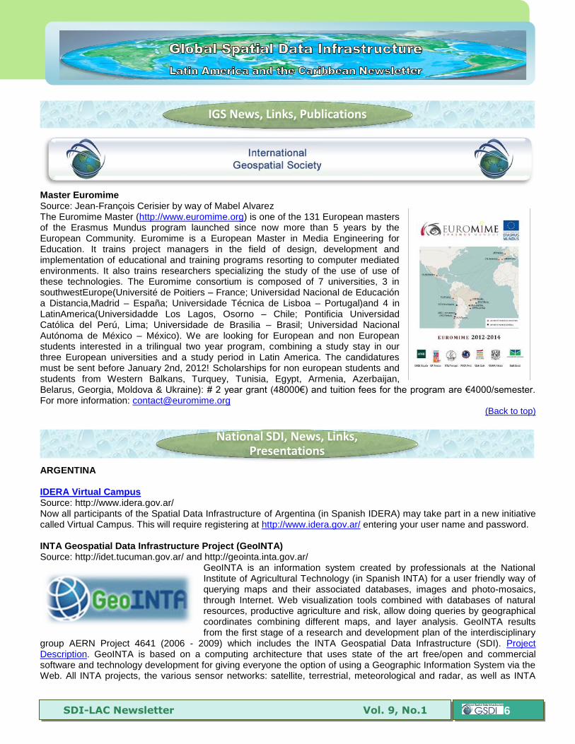
Master Euromime Source: Jean-François Cerisier by way of Mabel Alvarez The Euromime Master (http://www.euromime.org) is one of the 131 European masters of the Erasmus Mundus program launched since now more than 5 years by the European Community. Euromime is a European Master in Media Engineering for Education. It trains project managers in the field of design, development and implementation of educational and training programs resorting to computer mediated environments. It also trains researchers specializing the study of the use of use of these technologies. The Euromime consortium is composed of 7 universities, 3 in southwestEurope(Université de Poitiers – France; Universidad Nacional de Educación a Distancia,Madrid – España; Universidade Técnica de Lisboa – Portugal)and 4 in LatinAmerica(Universidadde Los Lagos, Osorno – Chile; Pontificia Universidad Católica del Perú, Lima; Universidade de Brasilia – Brasil; Universidad Nacional Autónoma de México – México). We are looking for European and non European students interested in a trilingual two year program, combining a study stay in our three European universities and a study period in Latin America. The candidatures must be sent before January 2nd, 2012! Scholarships for non european students and students from Western Balkans, Turquey, Tunisia, Egypt, Armenia, Azerbaijan, Belarus, Georgia, Moldova & Ukraine): # 2 year grant (48000€) and tuition fees for the program are €4000/semester. For more information: [email protected]
(Back to top)
ARGENTINA IDERA Virtual Campus Source: http://www.idera.gov.ar/ Now all participants of the Spatial Data Infrastructure of Argentina (in Spanish IDERA) may take part in a new initiative called Virtual Campus. This will require registering at http://www.idera.gov.ar/ entering your user name and password. INTA Geospatial Data Infrastructure Project (GeoINTA) Source: http://idet.tucuman.gov.ar/ and http://geointa.inta.gov.ar/
GeoINTA is an information system created by professionals at the National Institute of Agricultural Technology (in Spanish INTA) for a user friendly way of querying maps and their associated databases, images and photo-mosaics, through Internet. Web visualization tools combined with databases of natural resources, productive agriculture and risk, allow doing queries by geographical coordinates combining different maps, and layer analysis. GeoINTA results from the first stage of a research and development plan of the interdisciplinary
group AERN Project 4641 (2006 - 2009) which includes the INTA Geospatial Data Infrastructure (SDI). Project Description. GeoINTA is based on a computing architecture that uses state of the art free/open and commercial software and technology development for giving everyone the option of using a Geographic Information System via the Web. All INTA projects, the various sensor networks: satellite, terrestrial, meteorological and radar, as well as INTA
IGS News, Links, Publications
National SDI, News, Links, Presentations
SDI-LAC Newsletter Vol. 9, No.1
7
information networks, may also use GeoINTA for disseminating their own initiatives in a georeferenced manner. In addition, any academic or institutional group may contact GeoINTA for their projects’ diffusion through this system. For questions or suggestions please contact: [email protected] CUBA National Geospatial Portal of the Republic of Cuba (IDERC) Source: http://www.iderc.co.cu/ The portal of the Spatial Data Infrastructure of the Republic of Cuba (in Spanish IDERC) already includes several services such as a map viewer (Visor de Mapas); map-based address search services; directories and geocoding services (Callejero Cuba); gazetteer and place names dictionary (Nombres Geograficos); metadata catalog based on the GeoNetwork Opensource project; coordinate transformation service (GeoCalculadora); search of map sheets at 1:25 000 application (MTD 25000); and connection to the Villa Clara Provincial Portal with links to the thirteen municipalities of this province, among others of interest. The Geographical Names Service that was first published in 2008 is currently in its version 2.0. ECUADOR National Geospatial Information Policy of Ecuador Source: Spatial Information National Policy (CONAGE) by way of Santiago Borrero The “National Geospatial Information Policy” of Ecuador, was approved on July 5, 2010, by Technical Resolution No.1402 07/2010. The electronic version may be accessed here and is organized into four sections: 1) Geoinformation production and update; 2) Geoinformation Use; 3) Dissemination of Geoinformation; and 4) Geospatial information delivery, exchange and sale. The overall objective is “To ensure the production, processing, availability, exchange, update, dissemination and use of geospatial information generated at the national level to provide the general framework that promotes the creation, maintenance and administration of the Ecuadorian Geospatial Data Infrastructure (in Spanish IEDG), and strengthening of the National Decentralized Participatory Planning System (in Spanish SNDPP).” (p. 11). The National Council of Geoinformatics (in Spanish CONAGE) is a technical body reporting to the President of the Republic, aimed at promoting the creation, maintenance and administration of the IEDG. The Law of Transparency and Access to Information establishes the principle of public information disclosure, under which access to public information is a right of individuals guaranteed by the State, and in turn establishes that all document in any format that is held by public institutions and legal persons referred to in this Act, which is contained, created or obtained by them, under their responsibility, or produced with funds from the State, is considered public information. “According to the requirements of the National Information System (in Spanish SNI), directed by SENPLADES that is aimed at the articulation, integration, certification, and transparency of information produced by the State, it is necessary to have policies to guide the production of geospatial information which are constructed through CONAGE, as the main tool to support the creation, maintenance and administration of the IEDG...The National Geospatial Information Policy is mandatory for all public and private sector institutions functioning with state resources that produce geospatial data, and must be rationalized to the construction and development of IEDG.” (p. 6-8) MEXICO Annual Program of Statistics and Geography 2012 Source: http://www.snieg.mx/ On December it was approved the Annual Program of Statistics and Geography 2012 (in Spanish PAEG 2012) by the Governing Board of the National Institute of Statistics and Geography (in Spanish INEGI), which integrates specific activities to be performed by State units linked to the National Information Subsystems, according to the National Statistical and Geographic Information System (in Spanish SNIEG), and the Central Unit of the INEGI as the System’s Coordinator. The PAEG 2012 is comprised of a total of 171 activities and 193 specific deliverables, 80% of which corresponds to the National Information Subsystems. Within the PAEG 2012, 81% of registered specific activities focus on four PNEG 2010-2012 objectives, namely: System Norms; Operation Infrastructure of the National Information Subsystems; Proposal of Key Indicators; and National Interest Information Proposal and Production. The Annual Program of Statistics and Geography (PAEG) 2012 may be accessed here.
SDI-LAC Newsletter Vol. 9, No.1
8
PERU Cajamarca Regional SDI Source: http://ide.regioncajamarca.gob.pe/
Cajamarca Regional Spatial Data Infrastructure (in Spanish IDERC) aims to integrate geographic data, metadata, services and information over the Internet that is produced in the Cajamarca region in order to facilitate the location, identification, access and selection of the above resources, through the Cajamarca regional portal (IDERC http://metadatos.regioncajamarca.gob.pe/). It will integrate SDI resource nodes and geoportals of geographic information producers at regional and local levels, including available geographic data and information services in the region of Cajamarca. This regional SDI is based on the international ISO 19115 - 19139 metadata profile applied to the regional government of Cajamarca. URUGUAY First SDI Publication Source: Anibal Pacheco by way of Sergio Acosta y Lara, and Santiago Borrero Is now available the publication of Proceedings of the First Uruguayan Congress of Spatial Data Infrastructure (SDI) that took place in 2010. This is a publication drawn from the vision of those who conceive geographic information as an indispensable part of e-government initiatives, and as a key element in policy formulation, decision making, and public value construction. The publication is organized into three parts:
Design and development experiences of national, subnational and regional SDI initiatives (14 papers).
Future challenges and new technological solutions (10 papers).
Legal and institutional challenges (6 papers). It also includes supplementary related material. Download the publication in book format (.pdf 4.28 MB) Electronic Government and IDEuy Source: Sergio Acosta y Lara by way of Santiago Borrero The Fourth National Meeting on Electronic Government (Uruguay) with the slogan “Building E-Government among all and for all” included an SDI subject category (Thursday, November 24): (http://www.agesic.gub.uy/innovaportal/v/1688/1/agesic/iv_encuentro_nacional_de_gobierno_electronico.html; and http://www.agesic.gub.uy/agesic/boletin_web_item.jsp?contentid=1804&site=1&channel=agesic&newsletterid=1808). The Program also includes links to presentations. With respect to SDI, the event encompassed the following issues:
E-Government as a framework for citizens' access to Spatial Data Infrastructure
Institutional Panel: The generation of geo web for access to geographic information
Panel of LatinGEO Laboratory - Faculty of Engineering (UdelaR) - EMS (MDN): The quality issue in geographic information
Municipality of Montevideo: What's behind the how to go? Development Model
SDI-LAC Newsletter Vol. 9, No.1
9
WMS and WFS Geoservices Source: http://www.agesic.gub.uy/ Uruguayan SDI node geo-services and main characteristics are now available. Geoservices are geographic information web services governed by OGC and ISO standards that allow applications to consume geographic information automatically over the Internet from different sources or servers. The most common types are the WMS (Web Map Service) and WFS (Web Feature Service) Geoservices that provide geographic information in image and vector format respectively.
(Back to top)
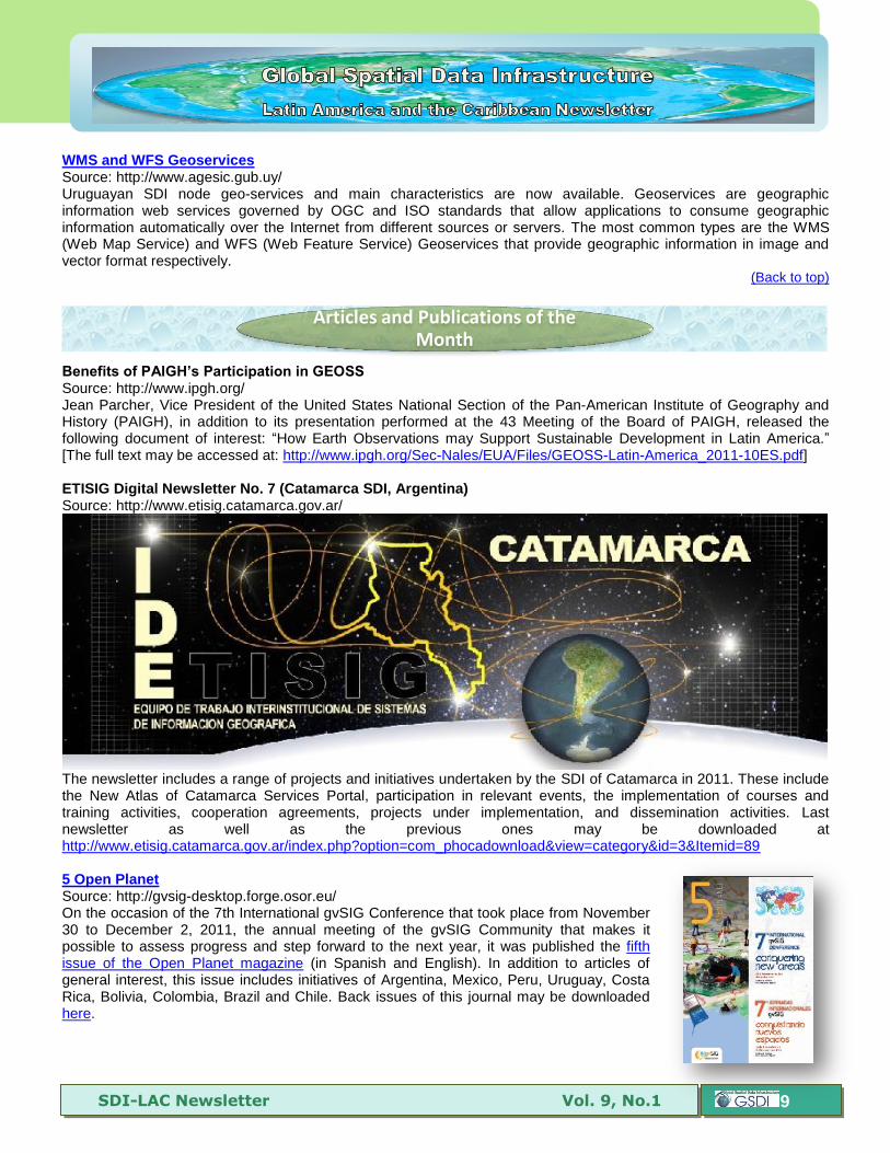
Be efi s f PAIGH’s P ici i i GE SS Source: http://www.ipgh.org/ Jean Parcher, Vice President of the United States National Section of the Pan-American Institute of Geography and History (PAIGH), in addition to its presentation performed at the 43 Meeting of the Board of PAIGH, released the following document of interest: “How Earth Observations may Support Sustainable Development in Latin America.” [The full text may be accessed at: http://www.ipgh.org/Sec-Nales/EUA/Files/GEOSS-Latin-America_2011-10ES.pdf] ETISIG Digital Newsletter No. 7 (Catamarca SDI, Argentina) Source: http://www.etisig.catamarca.gov.ar/
The newsletter includes a range of projects and initiatives undertaken by the SDI of Catamarca in 2011. These include the New Atlas of Catamarca Services Portal, participation in relevant events, the implementation of courses and training activities, cooperation agreements, projects under implementation, and dissemination activities. Last newsletter as well as the previous ones may be downloaded at http://www.etisig.catamarca.gov.ar/index.php?option=com_phocadownload&view=category&id=3&Itemid=89 5 Open Planet Source: http://gvsig-desktop.forge.osor.eu/ On the occasion of the 7th International gvSIG Conference that took place from November 30 to December 2, 2011, the annual meeting of the gvSIG Community that makes it possible to assess progress and step forward to the next year, it was published the fifth issue of the Open Planet magazine (in Spanish and English). In addition to articles of general interest, this issue includes initiatives of Argentina, Mexico, Peru, Uruguay, Costa Rica, Bolivia, Colombia, Brazil and Chile. Back issues of this journal may be downloaded here.
Articles and Publications of the Month
SDI-LAC Newsletter Vol. 9, No.1
10
Broadband in Brazil: A Multipronged Public Sector Approach to Digital Inclusion Source: http://www.infodev.org/
With 35 million fixed and mobile broadband subscribers, Brazil ranks among the top ten countries worldwide by total number of broadband users. Its large population, however, places the country's broadband penetration outside the top-50 worldwide. This report explores the challenges, opportunities and successes that define Brazil's ICT experience. Regionally, Brazil is slightly above the Latin American average in terms of penetration, but behind Chile, Argentina, and Uruguay. This case study is one of an initial series of seven that will contribute to the Broadband Strategies Toolkit, an online resource for policy-makers and regulators, especially in developing countries. The case studies are generously funded by the Korean Trust Fund (KTF) on Information and Communications for Development (IC4D). The KTF is a partnership between the government of the Republic of Korea and the World Bank Group whose purpose is to advance the ICT4D agenda to contribute to growth and reduce poverty in developing countries. [The complete report may be downloaded from: http://www.infodev.org/en/Publication.1128.html]
Addressing climate change in Latin America and the Caribbean (November 2011) Source: http://www.ifad.org/ “Projections of the Intergovernmental Panel on Climate Change (IPCC) indicate that, in the future, warming in Latin America could range from 1-4 degrees Celsius to 2-6 degrees Celsius, depending on the various climate scenarios. As land-use changes in Latin America have intensified the use of natural resources, land degradation and desertification have accelerated. The IPCC predicts that, by the 2050s, about 50 per cent of agricultural land in the region will be subject to desertification, and in some areas salinization.” [The complete report may be found at http://www.ifad.org/operations/projects/regions/pl/pub/climate.pdf]
(Back to top)
Research on Land Administration Domain Model (LADM) for Forest Rights of Indigenous Tribes in Brazil Source: João Paulo Hespanha and Tarun Ghawana by way of Silvane Paixão
Brazilian Land Administration Specialist Dr. Silvane Paixão, joined the research team from Integrated Spatial Analytics Consultants (ISAC), João Paulo Hespanha and Tarun Ghawana to develop a Land Administration Domain Model (LADM) for Forest Rights of Indigenous Tribes in Brazil. The LADM integrates the core elements to define land administration issues with flexibility to include spatial and temporal dimensions specific to a particular case study. It allows capturing a range of specific, national or thematic concepts on Land Administration and expressing them in a common framework at the domain level, which can be further compared internationally and can equally contribute to achieve actual implementation through the use of current model driven technologies. Forests are part of natural resource wealth of a country and they are the source of different types of environmental and socio-economic benefits. Indigenous tribes all over the world use forests as their habitat as well as source of livelihoods. In recent years, forests especially in developing countries are facing pressure to bear the cost of development. This directly interferes with traditional rights of living and livelihood earning of forest dependent tribes. ISAC has focused its current Land Administration research on legal, technical and institutional measures to protect forest user rights in developing countries. Brazilian forest legal, technical and institutional aspects related to forest dwelling tribes are current focus of this research. In this effort, team researchers have collaborated with Brazilian experts also to conduct an authentic applied research, using real data supplied by Brazil government organizations as source for the proposed modelling.
Geospatial Research, Applications, Software, Data
SDI-LAC Newsletter Vol. 9, No.1
11
First Products of Glacier Satellite Inventory Program (2Mp), Argentina Source: https://2mp.conae.gov.ar/ The satellite training program for children and youth (2MP) of the National Commission on Space Activities (in spanish CONAE) publishes on its Satellite Inventory of Glaciers the first products of school students and teachers participating in the project “Problems Without Borders: The Glaciers” during the 2011 school year. Throughout the project, students used satellite information to acquire knowledge on the physical and climatic conditions conducive to the existence of glaciers in the world. On the other hand, they analyzed time series of satellite images to evaluate the status of different glaciers. Students also reflected on the impact of productive activities on conservation, in the context of the Law of Glaciers. In this context, participation in the Satellite Glacier Inventory is the ending part of the project, which also includes a research paper with evidence on satellite information management and analysis. Chilean satellite launched in December Source: http://snitchile.blogspot.com/ The FASat-Charlie Chilean satellite was launched into space in December from French Guyana. The Russian Soyuz rocket was used to launch the satellite, which also put into orbit two Pleiades satellites. The Chilean satellite images have a spatial resolution of 1.45 meters in black and white (panchromatic) and 5.8 meters in multispectral mode (red, green, blue and near infrared); its ground swath width is of 10.15 km and will be able to capture an image at the same point of Chile every five days. Receiving antenna installed at the Venezuelan Remote Sensing Center Source: http://www.igvsb.gov.ve/ By the end of november the Geographical Institute of Venezuela “Simon Bolivar” (IGVSB) of the Ministry of Popular Power for the Environment, began installation of the antenna belonging to the Venezuelan Center for Remote Sensing (in Spanish CVPR), which provides the first satellite receiving station in Venezuela located in Miranda at Km 13 of the Pan American Highway, within the headquarters of the Venezuelan Institute for Scientific Research (in Spanish IVIC). The station includes a 5.4 meter dish antenna designed to cover the receipt of all remote sensing satellites operating in X-band The coverage area of the receiving antenna includes all the eco-region of the Caribbean, Central America and northern South America, covering about 17 countries. Due to the geographical position of Venezuela, this antenna may operate 12 months a year without being affected by hurricanes. Data collection satellites involved include RADARSAT I and II, MODIS sensor aboard TERRA and AQUA satellites, and SPOT. Consolidation of the Colombian Pacific Territorial Environmental Information System (SIAT-PC) Source: http://siatpc.iiap.org.co/
The aim is to consolidate the Territorial Environmental Information System (in spanish SIAT), and strengthen environmental data and information management, to promote their use in decision-making at regional level, based on guidelines of the Environmental Information System for Colombia (in spanish SIAC). The Pacific Region component is responsibility of a set of organizations that have worked in the region. SIAT-PC portal contains three main sections: Metadata, Virtual Documentation Center of the Environmental Research Institute of the Pacific (in Spanish IIAP); and the Geographic Information System - Pacific. It
also includes sections on thematic mapping, the Colombian Pacific Marine Environmental Information System, and on the state of natural resources.
SDI-LAC Newsletter Vol. 9, No.1
12
Ecuadorian IGM produces new aerial photography of the country Source: http://www.igm.gob.ec/
The Military Geographic Institute (in spanish IGM) of Ecuador in fulfillment of its mission is producing the aerial photography of various sectors of the Ecuadorian coast, particularly in the provinces of Manabi, Guayas and Portoviejo. These products will help developing the national topographic cartography. To the date these data inlcude the aerial photography at scale of 1:30.000 of the Guayas River Basin for producing 80 topographic maps at scale of 1:25.000 encompassing this area. Likewise, color aerial photography of the cities of Manta and Salinas has been produced, as well as the city of Portmore at scale of 1:5.000 in black and white. These products are available to all users. gvSIG 2.0 available for testing Source: http://www.gvsig.org/ Version 2.0 of gvSIG is now a reality. With the release of gvSIG 2.0 alpha2 it officially starts the stabilization phase of this release. A call for actively testing and reporting bugs and suggestions via the project mailing lists is launched: http://www.gvsig.org/web/community/mailing-lists/directory/view?set_language=es. Please do not use this developing version in production environments. More information at: http://blog.gvsig.org/2011/11/24/gvsig-2-0-ready-to-test/ Download gvSIG 2.0 alpha2 at: http://www.gvsig.org/web/projects/gvsig-desktop/official/gvsig-2.0/descargas/ Gaia Geospatial Platform Source: http://www.thecarbonproject.com/gaia.php
Gaia is a platform designed for advanced geospatial network and SDI needs. Based on the CarbonTools PRO open-geospatial development toolkit, this viewer can access an array of geospatial sources such as the Open Geospatial Consortium (OGC) Web Mapping Service (WMS), Web Map Tile Service (WMTS), Web Coverage Service (WCS), Web Feature Service (WFS), and Filter Encoding (FE), services such as Microsoft Bing Maps, Yahoo! Maps and OpenStreetMap (OSM), as well as file formats such as ESRI Shapefiles, Google Earth KML/KMZ, DXF, MIF, Geography Markup Language (GML) and GML Simple Features (GMLsf). With Gaia you can use geospatial content from different sources and overlay them into a single map view, with each layer individually configured and styled. The Gaia multi-layer
view allows seamless use of multiple layers of different types. Panning, zooming and other mapping tools provide a fast and convenient tool for browsing the map. Gaia uses dynamic caching of content to memory, providing enhanced mapping performance. You may download Gaia 3.4 with WFS-T Extenders for free at: http://www.thecarbonproject.com/gaia.php
(Back to top)
SDI-LAC Newsletter Vol. 9, No.1
13
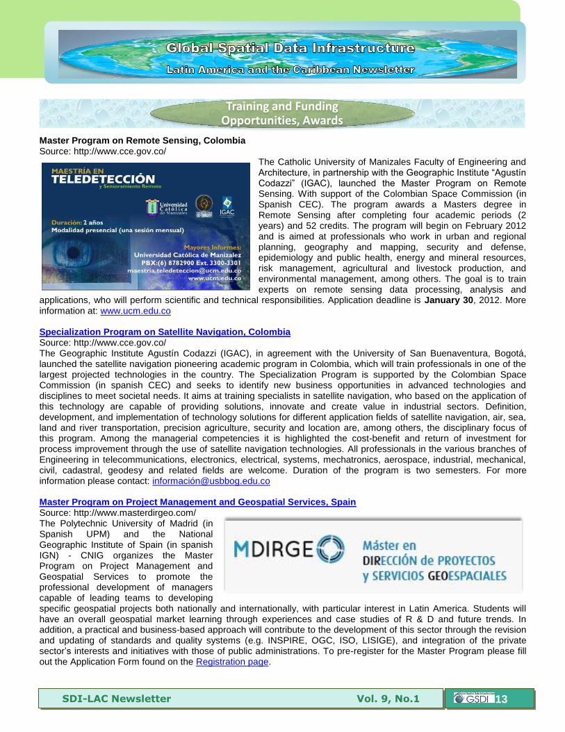
Master Program on Remote Sensing, Colombia Source: http://www.cce.gov.co/
The Catholic University of Manizales Faculty of Engineering and Architecture, in partnership with the Geographic Institute “Agustín Codazzi” (IGAC), launched the Master Program on Remote Sensing. With support of the Colombian Space Commission (in Spanish CEC). The program awards a Masters degree in Remote Sensing after completing four academic periods (2 years) and 52 credits. The program will begin on February 2012 and is aimed at professionals who work in urban and regional planning, geography and mapping, security and defense, epidemiology and public health, energy and mineral resources, risk management, agricultural and livestock production, and environmental management, among others. The goal is to train experts on remote sensing data processing, analysis and
applications, who will perform scientific and technical responsibilities. Application deadline is January 30, 2012. More information at: www.ucm.edu.co Specialization Program on Satellite Navigation, Colombia Source: http://www.cce.gov.co/ The Geographic Institute Agustín Codazzi (IGAC), in agreement with the University of San Buenaventura, Bogotá, launched the satellite navigation pioneering academic program in Colombia, which will train professionals in one of the largest projected technologies in the country. The Specialization Program is supported by the Colombian Space Commission (in spanish CEC) and seeks to identify new business opportunities in advanced technologies and disciplines to meet societal needs. It aims at training specialists in satellite navigation, who based on the application of this technology are capable of providing solutions, innovate and create value in industrial sectors. Definition, development, and implementation of technology solutions for different application fields of satellite navigation, air, sea, land and river transportation, precision agriculture, security and location are, among others, the disciplinary focus of this program. Among the managerial competencies it is highlighted the cost-benefit and return of investment for process improvement through the use of satellite navigation technologies. All professionals in the various branches of Engineering in telecommunications, electronics, electrical, systems, mechatronics, aerospace, industrial, mechanical, civil, cadastral, geodesy and related fields are welcome. Duration of the program is two semesters. For more information please contact: informació[email protected] Master Program on Project Management and Geospatial Services, Spain Source: http://www.masterdirgeo.com/ The Polytechnic University of Madrid (in Spanish UPM) and the National Geographic Institute of Spain (in spanish IGN) - CNIG organizes the Master Program on Project Management and Geospatial Services to promote the professional development of managers capable of leading teams to developing specific geospatial projects both nationally and internationally, with particular interest in Latin America. Students will have an overall geospatial market learning through experiences and case studies of R & D and future trends. In addition, a practical and business-based approach will contribute to the development of this sector through the revision and updating of standards and quality systems (e.g. INSPIRE, OGC, ISO, LISIGE), and integration of the private sector’s interests and initiatives with those of public administrations. To pre-register for the Master Program please fill out the Application Form found on the Registration page.
Training and Funding Opportunities, Awards
SDI-LAC Newsletter Vol. 9, No.1
14
2012 FIG Foundation Academic Research Grants Source: FIG e-Newsletter December 2011
The International Federation of Surveyors (FIG) Foundation will be providing research grants of up to 20,000 euros spread over two years. Applicants should be based in a surveying/geomatics academic or research programme in a country listed by the World Bank as a low-income, lower-middle or upper-middle income economy, have an established record of published research - at least two articles in good quality internationally recognised peer reviewed journals serves as a useful guideline, and have experience in managing postgraduate students. There are two rounds to the competition. In the first round, applicants will provide the documents listed below. Second round applicants will provide a detailed application in a format similar to the Canadian NSERC or SSHRC requirements. First Round Documentation Deadline 15 January 2012. Guidelines for FIG Foundation Academic Research Grants: http://www.fig.net/figfoundation/2012_research_grants.htm
Che e i g Sch shi s Source: NEMO News The British High Commission in Bridgetown has announced the opening of the British Chevening scholarship scheme for the academic year 2012-2013. Applications are now being accepted online from nationals of Barbados and the Eastern Caribbean who wish to pursue fully funded postgraduate studies at an academic institution in the UK. The Chevening programme has, over 27 years, provided more than 30,000 Scholarships at Higher Education Institutions in the UK for postgraduate students or researchers from countries across the world. Nationals of Barbados and the Eastern Caribbean should go to the British High Commission website: www.ukinbarbados.fco.gov.uk or Facebook page: www.facebook.com/ukinbarbados for details on how to apply. Applications should be submitted online before 23 January, 2012. Nationals of the following countries are eligible to apply: Antigua and Barbuda, Barbados, Commonwealth of Dominica, Grenada, Saint Kitts and Nevis, Saint Lucia, Saint Vincent and the Grenadines
(Back to top)
Assistant Professor in Geoinformatics Source: Teresa J. Center By way of Kenneth Young
The Department of Geosciences at the University of Arkansas invites applications for a 9-month tenure-track assistant professor position with an anticipated start date of August, 2012. This is one of several new faculty positions that are to be filled in anticipation of a new Ph. D. program in Geosciences. We are seeking an outstanding individual with expertise in a broad area of geoinformatics that could include GIScience, geocomputation, remote sensing, high performance GIS, interoperability, and geovisualization. Applicants must be committed to teaching a broad range of
Employment Opportunities
SDI-LAC Newsletter Vol. 9, No.1
15
courses and demonstrate ability and commitment to develop an independent externally funded research program as well as the potential for collaboration and synergy with ongoing research in the Department of Geosciences (http://geosciences.uark.edu) and the Center for Advanced Spatial Technologies (http://cast.uark.edu) as well as all Ph.D. requirements completed at the time of the appointment. Applicants should submit their curriculum vitae, brief statements of research and teaching interests, and the names, addresses and contact information for at least three professional references to: Dr. Thomas O. Graff, Search Committee Chair, Department of Geosciences, 113 Ozark Hall, University of Arkansas, Fayetteville, AR 72701. An electronic application in one PDF file is also welcome. Review of applications will begin January 15, 2012 and will continue until the position is filled. Please send to [email protected]. 30 Academic Posts in China, Ningbo Fuente: FIG e-Boletín diciembre 2011 The University of Nottingham is seeking several surveyors for the University Branch in China, Ningbo, each with particular specifications and application deadline. More information about the positions
(Back to top)
United Nations takes steps for the world's oceans Source: http://wwf.panda.org/
States meeting at the United Nations General Assembly (UNGA) in New York agreed yesterday that urgent action is needed to protect biological diversity in the high seas and deep sea. A new resolution on sustainable fisheries calls to fully implement resolutions previously adopted by the UNGA to protect deep-sea ecosystems and species from the harmful effects of bottom trawling and other methods of deep-sea fishing. At the same meeting, member states are also negotiating the UN resolution on oceans and the Law of the Sea, which addresses the inadequate provisions for the conservation and sustainable use of marine biodiversity and which focuses on areas beyond national jurisdiction. The legal framework for protecting ecosystems, species and habitats on the high seas, which comprises two thirds of our oceans is weak. While there are global conventions and
organisations managing fisheries and regulating human activities such as shipping, there is no global legal framework to effectively take biodiversity conservation measures into consideration. IFAD Member States announce US$1.5 billion new funds for food security in developing countries Source: http://www.ifad.org/ Rome, 16 December 2011–Member States of the International Fund for Agricultural Development (IFAD), meeting in Rome for Consultations on the Ninth Replenishment of the Fund’s resources (IFAD9), announced a target of US$1.5 billion in new contributions to finance agriculture and rural development projects across the developing world. This represents a 25 per cent increase over IFAD’s Eighth Replenishment. Every three years, the resources IFAD provides as loans and grants to developing countries are replenished by Member States. The Fund leverages member contributions to mobilize much higher amounts of funds through project co-financing with national governments, international donors and the private sector.
Other
SDI-LAC Newsletter Vol. 9, No.1
16
IFAD’s work fills an important niche, with almost 2 billion rural people depending for their livelihoods on the 500 million smallholder farms in developing countries. A number of developing countries that had not participated in previous replenishments announced their contributions, including some from the UN list of “least developed countries”. The IFAD9 replenishment is the highest percentage increase of contributions of any international financial institution in the current round of replenishments. In addition to the new funds, Member States mandated IFAD to find new sources of finance that effectively share the development burden more broadly.
(Back to top)
MundoGEO#Connect LatinAmerica 2012 Source: http://mundogeoconnect.com/2012/es/
The event willl take place on May 29-31, 2012 in Sao Paulo (SP), Brazil. With the theme "Sharing information for a better world," the MundoGEO # Connect Latin America 2012 will highlight current challenges of producing geospatial data following standards that will allow the information systems’ users community, their full utilization. MundoGEO # Connect LatinAmerica 2012, brings together over 50 companies at a fair to be held parallel to the seminars, forums, courses and workshops during this three day event. More information at: http://mundogeoconnect.com/2012/es/. Argentinean Congress on Remote Sensing 2012 Source: http://www.iafe.uba.ar/tele/CAT_2012 The Congress will be held from 18 to 21 September 2012 in Alta Gracia, Cordoba, Argentina. The period for submissions will be from february15 to april 15, 2012. Since 1994 Argentina has been making a tremendous
technology development effort through the National Commission on Space Activities (in Spanish CONAE) that is framed within the National Space Plan to produce and making available satellite data for both scientists, technicians and end users need. In this context, the objective of the conference is to create a meeting place for different groups engaged with remote sensing activities in Argentina and other countries, as well as to foster dialogue between them, knowledge sharing, dissemination and discussion of their work results and, in particular, to encourage active participation of a younger generation who are using satellite data and making innovative developments in their areas of interest. Contact: [email protected]
(Back to top)
Year 2012 January February March April May June July August September October November December Year 2013 January February March April May June July August September October November December
JANUARY 2012
5-6 Redlands CA, USA Geodesign Summit
10
***NNNEEEWWW***
Webinar, USA iVAULT GIS and Municipalities: A partnership to evolve your community
10-12
Vancouver, Canada Eighth International Conference on Environmental, Cultural, Economic and Social Sustainability
12
***NNNEEEWWW***
USA Do you want to publish your specialized GIS content to the web easier, without costly and time consuming application development?
16-18 Los Angeles CA, USA Eighth International Conference on Technology, Knowledge and Society
17-19
***NNNEEEWWW***
Vancouver BC, Canada Training: AutoCAD Civil 3D 2012 Essentials
Americas: Conferences, SDI Events
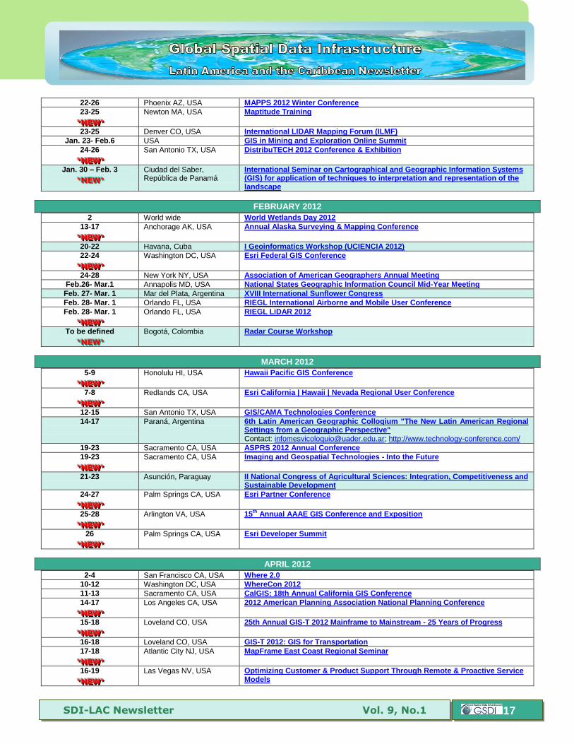
YEAR 2012
SDI-LAC Newsletter Vol. 9, No.1
17
22-26 Phoenix AZ, USA MAPPS 2012 Winter Conference
23-25
***NNNEEEWWW***
Newton MA, USA Maptitude Training
23-25 Denver CO, USA International LIDAR Mapping Forum (ILMF)
Jan. 23- Feb.6 USA GIS in Mining and Exploration Online Summit
24-26
***NNNEEEWWW***
San Antonio TX, USA DistribuTECH 2012 Conference & Exhibition
Jan. 30 – Feb. 3
***NNNEEEWWW***
Ciudad del Saber, República de Panamá
International Seminar on Cartographical and Geographic Information Systems (GIS) for application of techniques to interpretation and representation of the landscape
FEBRUARY 2012
2 World wide World Wetlands Day 2012
13-17
***NNNEEEWWW***
Anchorage AK, USA Annual Alaska Surveying & Mapping Conference
20-22 Havana, Cuba I Geoinformatics Workshop (UCIENCIA 2012)
22-24
***NNNEEEWWW***
Washington DC, USA Esri Federal GIS Conference
24-28 New York NY, USA Association of American Geographers Annual Meeting
Feb.26- Mar.1 Annapolis MD, USA National States Geographic Information Council Mid-Year Meeting
Feb. 27- Mar. 1 Mar del Plata, Argentina XVIII International Sunflower Congress
Feb. 28- Mar. 1 Orlando FL, USA RIEGL International Airborne and Mobile User Conference
Feb. 28- Mar. 1
***NNNEEEWWW***
Orlando FL, USA RIEGL LiDAR 2012
To be defined
***NNNEEEWWW***
Bogotá, Colombia Radar Course Workshop
MARCH 2012
5-9
***NNNEEEWWW***
Honolulu HI, USA Hawaii Pacific GIS Conference
7-8
***NNNEEEWWW***
Redlands CA, USA Esri California | Hawaii | Nevada Regional User Conference
12-15 San Antonio TX, USA GIS/CAMA Technologies Conference
14-17
Paraná, Argentina 6th Latin American Geographic Colloqium "The New Latin American Regional Settings from a Geographic Perspective" Contact: [email protected]; http://www.technology-conference.com/
19-23 Sacramento CA, USA ASPRS 2012 Annual Conference
19-23
***NNNEEEWWW***
Sacramento CA, USA Imaging and Geospatial Technologies - Into the Future
21-23
Asunción, Paraguay II National Congress of Agricultural Sciences: Integration, Competitiveness and Sustainable Development
24-27
***NNNEEEWWW***
Palm Springs CA, USA Esri Partner Conference
25-28
***NNNEEEWWW***
Arlington VA, USA 15th
Annual AAAE GIS Conference and Exposition
26
***NNNEEEWWW***
Palm Springs CA, USA Esri Developer Summit
APRIL 2012
2-4 San Francisco CA, USA Where 2.0
10-12 Washington DC, USA WhereCon 2012
11-13 Sacramento CA, USA CalGIS: 18th Annual California GIS Conference
14-17
***NNNEEEWWW***
Los Angeles CA, USA 2012 American Planning Association National Planning Conference
15-18
***NNNEEEWWW***
Loveland CO, USA 25th Annual GIS-T 2012 Mainframe to Mainstream - 25 Years of Progress
16-18 Loveland CO, USA GIS-T 2012: GIS for Transportation
17-18
***NNNEEEWWW***
Atlantic City NJ, USA
MapFrame East Coast Regional Seminar
16-19
***NNNEEEWWW***
Las Vegas NV, USA Optimizing Customer & Product Support Through Remote & Proactive Service Models

SDI-LAC Newsletter Vol. 9, No.1
18
16-20
***NNNEEEWWW***
Havana, Cuba Congress INFO 2012 - 12th International Congress on Information
16-20 Mar del Plata, Argentina XIX Latin American Congress and XXIII Argentine Congress on Soil Science
19-21 Bahia Blanca, Argentina IX National Conference on Physical Geography Contact: [email protected]
22-26 Kansas City MO, USA MAGIC - 2012: Mid-America GIS Symposium
25-28 Cordoba, Argentina XI National and VIII Latin American Congress on Surveying Contact: [email protected]
Apr. 30 – May 2
***NNNEEEWWW***
Houston TX, USA Esri Petroleum GIS Conference
MAY 2012
7-9
Rio de Janeiro RJ, Brazil GEOBIA 2012: Geographic Object-Based Image Analysis Conact: [email protected]
7-9
***NNNEEEWWW***
Calgary Alberta, Canada Conference GeoAlberta 2012
7-11
***NNNEEEWWW***
Bogotá, Colombia XII International Symposium on Geocritique
8-10 New Orleans LA, USA CTIA Wireless 2012
14-17 Quebec City, Canada GSDI-13: Spatially Enabling Government, Industry and Citizens
15-17 Ontario, Canada Canadian Hydrographic Conference (CHC2012)
22-23
***NNNEEEWWW***
Grantville PA, USA The 2012 PA GIS Conference
22-23 Washington DC, USA Location Intelligence Conference/Oracle Spatial 2012
May 28-Jun. 1
***NNNEEEWWW***
Mendoza, Argentina XI Argentine Congress on Meteorology Contact: [email protected]
29-31
São Paulo, Brazil M d GE #C ec : “Sh i g Information for a Better World" Contact: [email protected]
May 30-Jun. 1
***NNNEEEWWW***
Washington DC, USA UCGIS 2012 Spring Symposium
JUNE 2012
3-6
Salvador Bahía, Brazil 33rd
Inter-American Congress on Sanitary and Environmental Engineering AIDIS
4-6
Rio de Janeiro RJ, Brazil UN Conference on Sustainable Development (commonly called Earth Summit 2012) or 'Rio+20'
4-7 Las Vegas NV, USA Hexagon 2012
6-8
Villa de Leyva, Colombia
6th
Symposium of the Latin American and Caribbean Society of Environmental History - SOLCHA
11-15
***NNNEEEWWW***
Savannah GA, USA URISA Leadership Academy
12-13
Buenos Aires, Argentina First Latin-American Congress on Urban Ecology - Challenges and Development Scenarios for Latin American Cities
14-15
***NNNEEEWWW***
Chicago IL, USA Location Intelligence for Enterprise USA
14-15 Buenos Aires, Argentina First International Course on Urban Ecology
24-27 Chicago IL, USA 4th
Urban Street Symposium
25-29
***NNNEEEWWW***
Buenos Aires, Argentina Sixth Congress on Cartographic Science
JULY 2012
1-3 Reston, VA, USA COM.Geo 2012 The 3rd International Conference on Computing for Geospatial Research and Application
7-12 San Diego CA, USA The Survey Summit
21-24
***NNNEEEWWW***
San Diego CA, USA Esri Education User Conference
21-24
***NNNEEEWWW***
San Diego CA, USA Esri Homeland Security Summit
22-24
***NNNEEEWWW***
San Diego CA, USA Esri Business Summit
23-27 San Diego CA, USA ESRI International User Conference 2012
SDI-LAC Newsletter Vol. 9, No.1
19
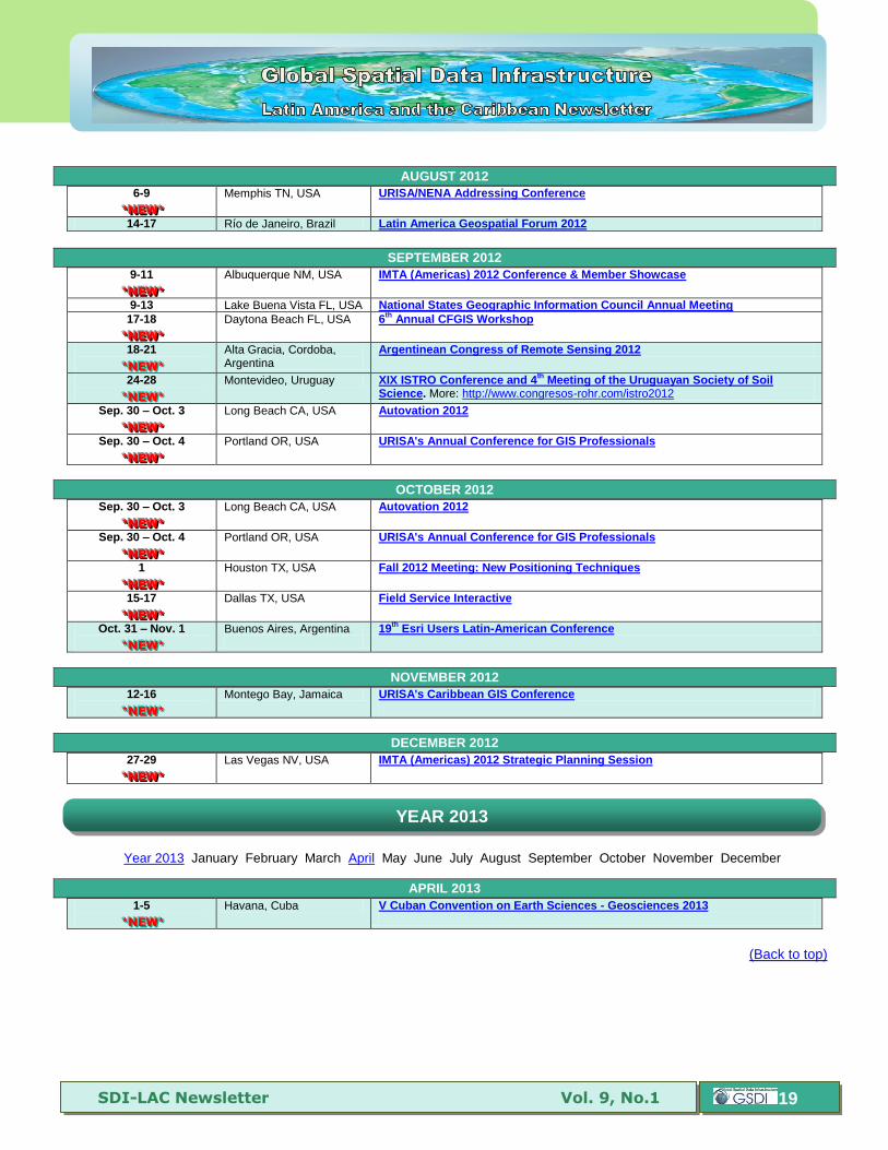
AUGUST 2012
6-9
***NNNEEEWWW***
Memphis TN, USA URISA/NENA Addressing Conference
14-17 Río de Janeiro, Brazil Latin America Geospatial Forum 2012
SEPTEMBER 2012
9-11
***NNNEEEWWW***
Albuquerque NM, USA IMTA (Americas) 2012 Conference & Member Showcase
9-13 Lake Buena Vista FL, USA National States Geographic Information Council Annual Meeting
17-18
***NNNEEEWWW***
Daytona Beach FL, USA 6th
Annual CFGIS Workshop
18-21
***NNNEEEWWW***
Alta Gracia, Cordoba, Argentina
Argentinean Congress of Remote Sensing 2012
24-28
***NNNEEEWWW***
Montevideo, Uruguay XIX ISTRO Conference and 4th
Meeting of the Uruguayan Society of Soil Science. More: http://www.congresos-rohr.com/istro2012
Sep. 30 – Oct. 3
***NNNEEEWWW***
Long Beach CA, USA Autovation 2012
Sep. 30 – Oct. 4
***NNNEEEWWW***
Portland OR, USA URISA's Annual Conference for GIS Professionals
OCTOBER 2012
Sep. 30 – Oct. 3
***NNNEEEWWW***
Long Beach CA, USA Autovation 2012
Sep. 30 – Oct. 4
***NNNEEEWWW***
Portland OR, USA URISA's Annual Conference for GIS Professionals
1
***NNNEEEWWW***
Houston TX, USA Fall 2012 Meeting: New Positioning Techniques
15-17
***NNNEEEWWW***
Dallas TX, USA Field Service Interactive
Oct. 31 – Nov. 1
***NNNEEEWWW***
Buenos Aires, Argentina
19th
Esri Users Latin-American Conference
NOVEMBER 2012
12-16
***NNNEEEWWW***
Montego Bay, Jamaica URISA's Caribbean GIS Conference
DECEMBER 2012
27-29
***NNNEEEWWW***
Las Vegas NV, USA IMTA (Americas) 2012 Strategic Planning Session
Year 2013 January February March April May June July August September October November December
APRIL 2013
1-5
***NNNEEEWWW***
Havana, Cuba V Cuban Convention on Earth Sciences - Geosciences 2013
(Back to top)
YEAR 2013
SDI-LAC Newsletter Vol. 9, No.1
20
Please mention SDI-LAC as source of information in any correspondence you may have on items on this issue
To subscribe to SDI-LAC, please do so online at: http://www.gsdi.org/newslist/gsdisubscribe.asp Nancy Aguirre, PAIGH, Editor [email protected] Global Spatial Data Infrastructure Association, http://www.gsdi.org
DISCLAIMER: GSDI, PAIGH and the Editor will not be held liable for any errors, mistakes, misprints or incorrect information. Copyright © 2012. All rights reserved.